The best walks and hikes around Kvitsøy
4.8
(107)
632
hikers
35
hikes
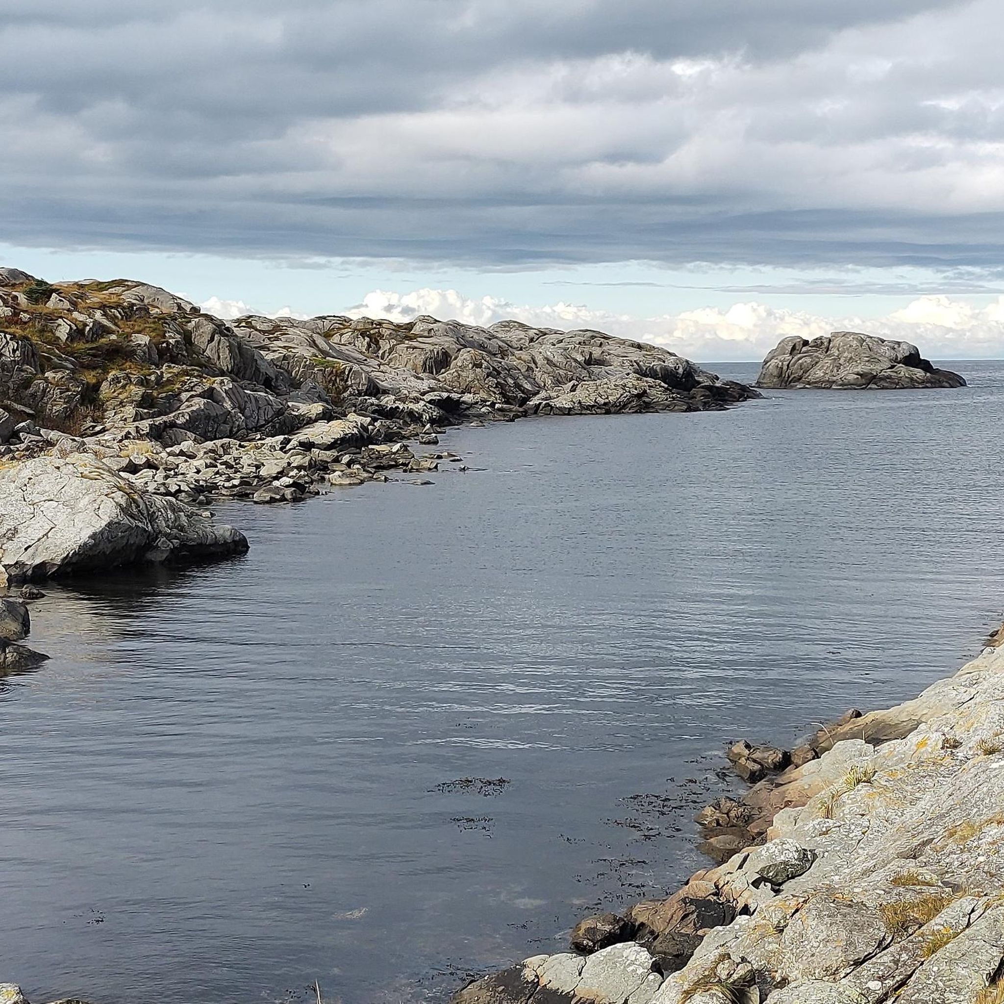
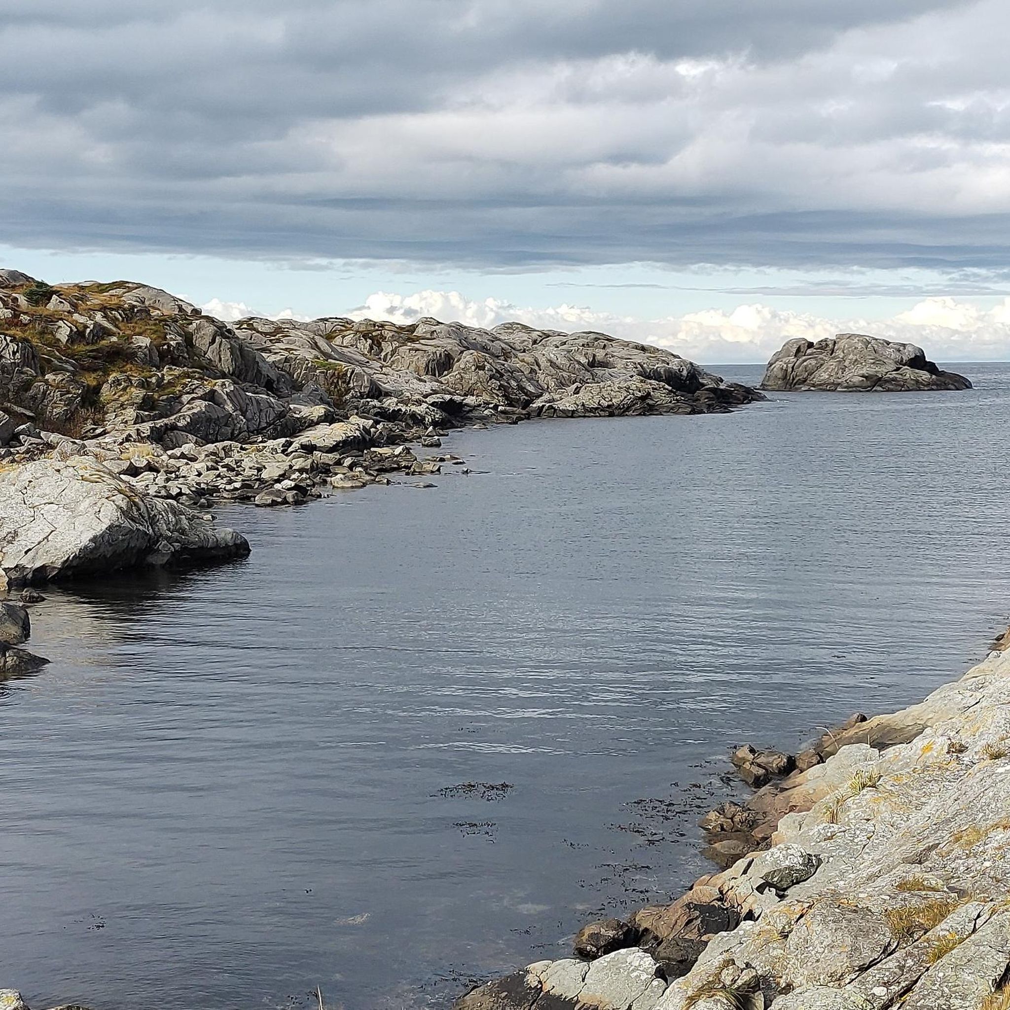
Hiking around Kvitsøy offers exploration of Norway's smallest municipality, characterized by a unique island landscape. The region comprises 167 islands, islets, and reefs, featuring a dramatic and rocky coastline, especially on its western side. Despite the rugged coastal features, Kvitsøy also presents green pastures and a mild maritime climate, with terrain formed from transformed volcanic rocks.
Best hiking trails around Kvitsøy
- The most popular hiking route is Tungenes Lighthouse – Coastal Trail loop from Tungenes fyr, a 4.3 miles…
Last updated: June 28, 2026
4.5
(15)
93
hikers
6.95km
01:47
30m
30m
Easy hike. Great for any fitness level. Easily-accessible paths. Suitable for all skill levels.
5.0
(2)
12
hikers
7.17km
01:56
90m
90m
Easy hike. Great for any fitness level. Easily-accessible paths. Suitable for all skill levels.

Sign up for free
12
hikers
5.12km
01:19
30m
20m
Easy hike. Great for any fitness level. Easily-accessible paths. Suitable for all skill levels.
15
hikers
2.44km
00:41
50m
50m
Easy hike. Great for any fitness level. Easily-accessible paths. Suitable for all skill levels.
5.0
(1)
3
hikers
2.79km
00:46
50m
50m
Easy hike. Great for any fitness level. Easily-accessible paths. Suitable for all skill levels.
Get access to more routes and recommendations from other explorers.
Sign up for free
Already have an account?
Our route recommendations are based on thousands of hikes, rides, and runs completed by other people on komoot.
Start today with a free account
Your next adventure awaits.
Login or Signup
Popular around Kvitsøy
Tips from the Community

Tungenes forms the northern end of the Jaeren region. Sea traffic passes by this headland just before they arrive in Stavanger. A lighthouse was built here in 1828 and was in use until around 1984. Today, with the advent of advanced navigation technology, Tungenes Fyr is primarily a cultural lighthouse. Here you can learn about its history and experience how the keeper and his family lived in the 1930s. You can also enjoy what the quaint cafe has to offer.
0
0
Sandestranden beach is one of many beaches forming part of the Jærstrandene Landscape Protection Area. This is a spectacular 70-kilometre stretch of wild coastline here in Rogaland. It has some of Norway's longest and most dramatic sand dunes, beautiful moraine rock formations and internationally significant bird habitats. It is accessible year-round on foot on good trails and offers peace and tranquillity to nature lovers.
0
0
Tungevika harbour is a beautiful little inlet with some moorings for small boats located on the northern shores of the Jærstrendene coastal trail. There are beautiful views out to sea and towards the Tungenes Lighthouse.
0
0

Fjøløy lighthouse (fyr = lighthouse), built in 1879. On the way from the parking lot to the lighthouse, there is much to see: boathouse, natural stone walls, rocks, flora.
0
0

Follow the path down to the sea, enjoy the beautiful view of Stavanger
0
0

If you are interested in this topic, then it is highly recommended. For everyone else, it offers an incredibly beautiful view of the landscape. I find it funny that the fort is now in the hands of wild rabbits. 🐇🐇🐇
0
0

Beautiful circular tour, beautiful landscape and the lighthouse. The path always goes along the water's edge.
0
0
Frequently Asked Questions
How many hiking trails are available in Kvitsøy?
There are over 30 hiking routes recorded in Kvitsøy. The majority, about 29, are classified as easy, with a few moderate options available for those seeking a slightly longer challenge.
What is the typical terrain like for hiking in Kvitsøy?
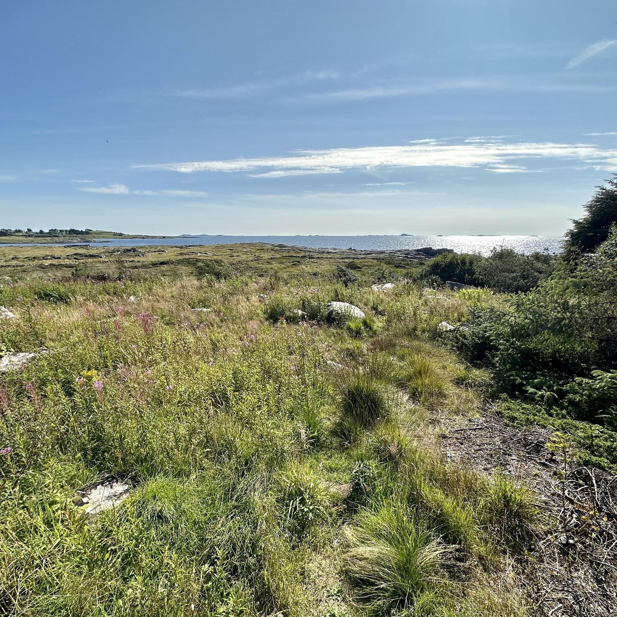
Kvitsøy's terrain is characterized by its dramatic and rough coastline, especially on the western side facing the open sea. You'll find a distinctive rocky archipelago, but also green, lush pastures. The islands are formed from transformed volcanic rocks, creating unique landscapes. The terrain is generally relatively flat, making it accessible for various activity levels.
What kind of natural features and landmarks can I expect to see while hiking in Kvitsøy?
While hiking in Kvitsøy, you can experience the rugged coastal scenery, expansive sea views, and green pastures. Notable landmarks include the Tungenes Lighthouse and the Fjøløy Lighthouse, both offering panoramic views. You can also discover historical sites like WWII bunkers and the ruins of a 12th-century stone church, adding a cultural dimension to your walks.
Are there any family-friendly hiking options in Kvitsøy?
Yes, Kvitsøy offers many family-friendly hiking options. The relatively flat terrain and numerous easy trails make it suitable for families. Routes like the Fjøløy Fort – Viewpoint at Fjøløy Fort loop from Fjøløy are short and accessible, providing coastal views and historical points of interest without significant elevation changes.
Can I bring my dog on the hiking trails in Kvitsøy?
Yes, many of the hiking trails in Kvitsøy are suitable for dogs. The marked walking trails often traverse grazing areas, so it's important to keep dogs on a leash, especially when passing livestock. Always ensure your dog is under control and respect local regulations regarding pets in natural areas.
What is the best time of year to go hiking in Kvitsøy?
Kvitsøy experiences a mild, humid maritime climate. Hiking is generally pleasant from spring through autumn. Summer offers the warmest weather and longest daylight hours, ideal for exploring. However, the dramatic coastal landscape can be particularly striking during other seasons, though conditions might be windier or wetter.
Are there any circular hiking routes in Kvitsøy?
Yes, Kvitsøy features several circular hiking routes that allow you to start and end at the same point. Examples include the Fjøløy Lighthouse – Viewpoint at Fjøløy Fort loop from Klosterøy and the Rest Cabin with Panoramic View loop from Duøya, which offer varied scenery and points of interest.
What do other hikers enjoy most about hiking in Kvitsøy?
The hiking routes in Kvitsøy are highly rated by the komoot community, with an average score of 4.8 stars from over 80 reviews. Hikers often praise the unique island landscape, the dramatic coastal views, and the opportunity to explore historical sites like WWII bunkers and lighthouses. The accessibility of the trails and the tranquil atmosphere are also frequently highlighted.
Are there any places to rest or take a break along the trails?
Yes, some trails offer options for taking a break. For instance, a detour option along some routes leads to a Day Trip Cabin, providing a sheltered spot to rest and enjoy further views of the archipelago. Always check individual route details for specific amenities.
How can I get to the hiking trails in Kvitsøy?
Kvitsøy is an island municipality, accessible by ferry. Once on the island, marked walking trails are available. For specific trailheads, it's advisable to check the starting points of individual routes on komoot. Parking information is typically available for popular trailheads.
Are there any historical sites to explore while hiking in Kvitsøy?
Absolutely. Kvitsøy is rich in history. Along the coastal walks, you can discover old WWII bunkers from the German occupation. The island also features a nearly four-meter-high stone cross and the ruins of a 12th-century stone church, offering fascinating glimpses into its past.
Most popular routes around Kvitsøy
Most popular attractions around Kvitsøy

Get inspired with the komoot mobile app


Explore more
Browse the best Hikes in other regions.
