The best running trails around Dønna
36
runners
4
runs
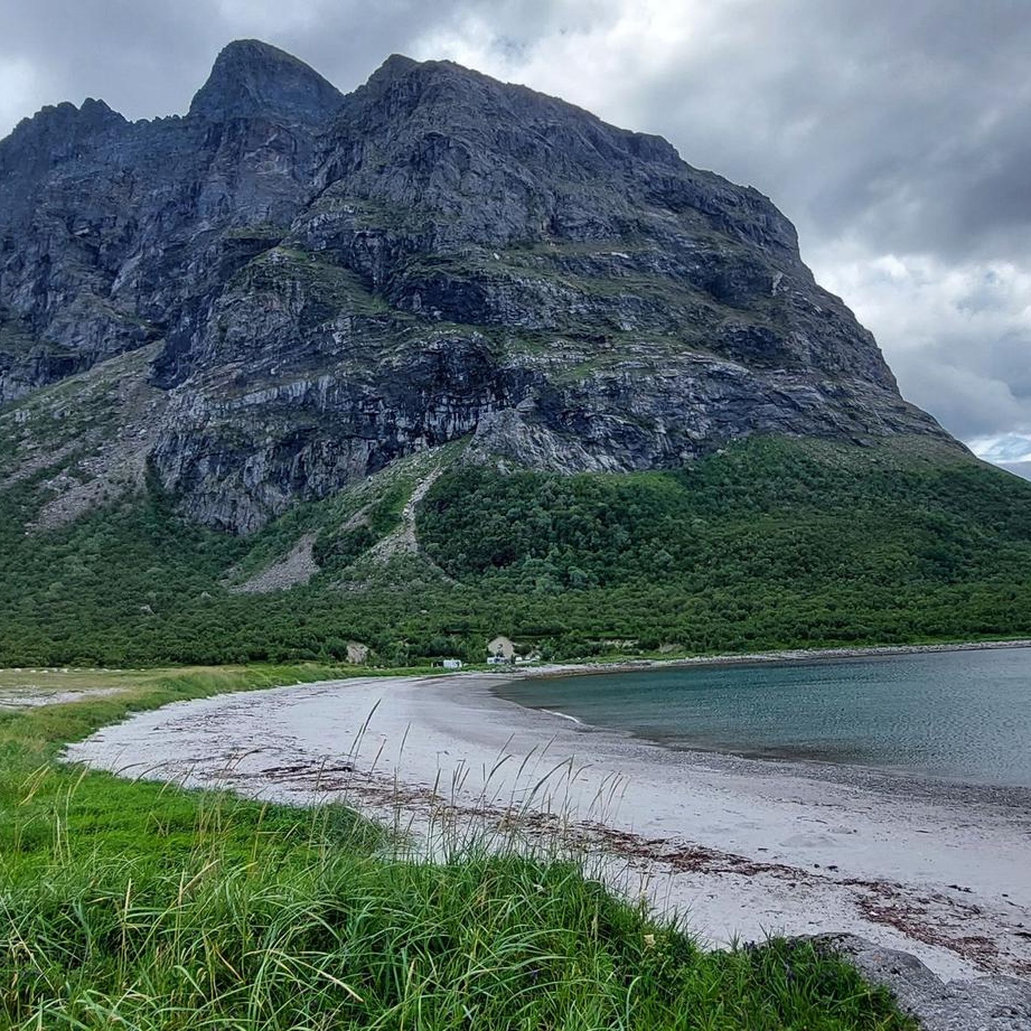
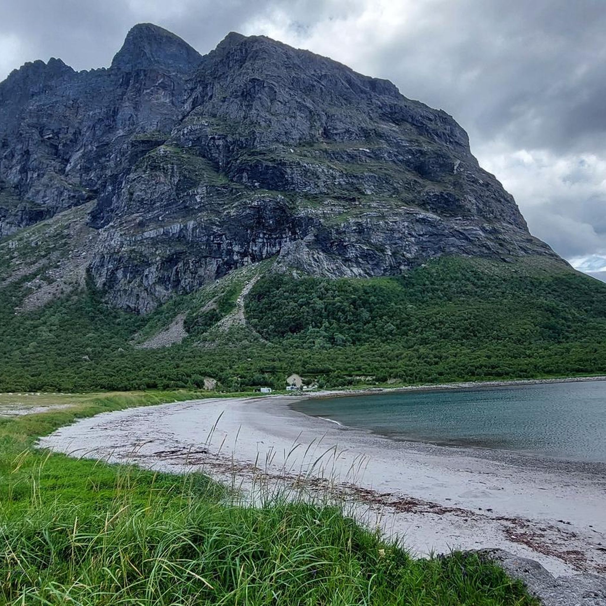
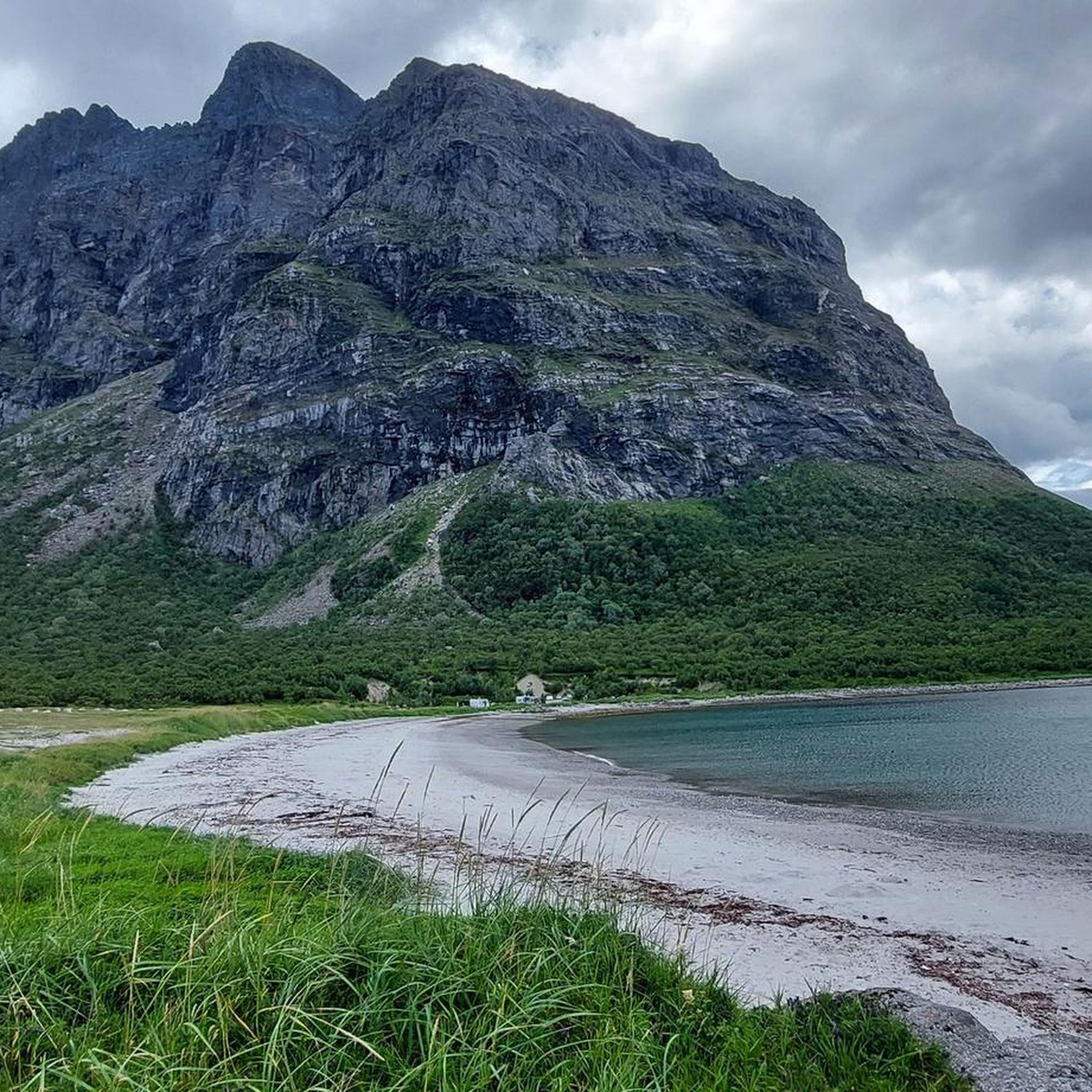
Jogging routes around Dønna traverse a varied landscape on Norway's Helgeland coast, featuring high mountains, expansive forests, and distinct coastal environments. The region is characterized by prominent landmarks like Dønnamannen, which stands at 858 meters, alongside wetlands and accessible country roads. This blend of terrain provides options for both challenging mountain runs and less strenuous coastal or inland jogs.
Best jogging routes around Dønna
- The most popular jogging route is The Seven Sisters Traverse, a 14.3 miles (23.0 km)…
Last updated: June 27, 2026
9
runners
23.0km
05:51
2,490m
2,550m
Hard run. Very good fitness required. Sure-footedness, sturdy shoes and alpine experience required.
6
runners
8.09km
00:50
10m
10m
Moderate run. Good fitness required. Mostly paved surfaces. Suitable for all skill levels.

Sign up for free
6
runners
6.99km
00:43
10m
10m
Moderate run. Good fitness required. Mostly paved surfaces. Suitable for all skill levels.
5
runners
7.71km
01:29
500m
500m
Hard run. Very good fitness required. Sure-footedness, sturdy shoes and alpine experience required.
5
runners
5.87km
00:36
10m
10m
Moderate run. Good fitness required. Mostly paved surfaces. Suitable for all skill levels.
Our route recommendations are based on thousands of hikes, rides, and runs completed by other people on komoot.
Start today with a free account
Your next adventure awaits.
Login or Signup
Popular around Dønna
Tips from the Community

Even though many websites claim the hike to the fork is very easy and straightforward, we found it challenging. A head for heights and surefootedness are essential. The climb is very steep, requiring scrambling in many places, which is not without its risks for inexperienced hikers!
0
0

Kvasstind is one of the most demanding hikes in the Syv Søstre. The final 1,600 feet (500 m) is the steepest section and requires a good head for heights. Simply follow the red markers and enjoy the sense of achievement – as well as the remarkable views – when you get to the top.
0
0
Grytfoten is the third highest summit in the Syv Søstre range, standing at 3,497 feet (1,066 m). It provides exceptional views across the surrounding landscape.
0
0
Skjæringen is often ascended along with the neighbouring Tvillingan (the Twins). The pull up to Aksla, the shoulder between the peaks, is relatively straightforward and the onward run is fairly gradual, ascending to the 3,402-foot (1,037 m) summit.
0
0
In the heart of the Syv Søstre (Seven Sisters), Tvillingan's summits are fantastic objectives that, unlike some others in the range, don't require technical scrambling. This makes them, along with neighbouring Skjæringen, a good option for a less committing run.
0
0
Kvasstind is one of the most demanding hikes in the Syv Søstre. The final 1,600 feet (500 m) is the steepest section and requires a good head for heights. Simply follow the red markers and enjoy the sense of achievment – as well as the remarkable views – when you get to the top.
2
0
Skjæringen is often ascended along with the neighbouring Tvillingan (the Twins). The hike up to Aksla, the shoulder between the peaks, is relatively straightforward and the onward hike is fairly gradual, ascending to the 3,402-foot (1,037 m) summit.
2
0
In the heart of the Syv Søstre (Seven Sisters), Tvillingan's summits are fantastic objectives that, unlike some others in the range, don't require technical scrambling. This makes them, along with neighbouring Skjæringen, a good option for less experienced hikers wanting to get to know this magnificent mountain range.
1
0
Frequently Asked Questions
How many running routes are available in Dønna?
There are currently 4 curated running routes available on komoot for Dønna. These routes offer a mix of moderate and difficult options, allowing runners to choose based on their experience and fitness levels.
Are there easy running routes for beginners in Dønna?
While Dønna is known for its more challenging mountain trails, there are moderate options that can be suitable for runners looking for less strenuous jogs. For example, the Running loop from Silvalen is a moderate 5.0-mile (8.1 km) path with a relatively flat profile, ideal for a steady run through the local area. Another moderate option is the Running loop from Sør-Herøy.
What kind of terrain can I expect on Dønna's jogging trails?
Dønna offers a diverse range of terrain for running. You'll find everything from challenging mountain paths with significant elevation gain, like those leading to Dønnamannen, to gentler country roads that wind through beautiful cultural landscapes. The island also features coastal paths, forests, and wetlands, providing varied surfaces and scenery for your runs.
Are there any circular running routes in Dønna?
Yes, several routes in Dønna are designed as loops, perfect for runners who prefer to start and end in the same location. Examples include the Running loop from Silvalen, the Running loop from Sør-Herøy, and the Running loop from Søvik, which offers varied terrain and notable elevation changes.
Can I bring my dog on the running trails in Dønna?
Dønna's natural environment is generally welcoming for outdoor activities with dogs. However, it's always recommended to check local regulations, especially in protected areas or during certain seasons (e.g., nesting periods for birds). Always keep your dog on a leash and ensure you clean up after them to preserve the beautiful landscape for everyone.
Are there family-friendly jogging options in Dønna?
For families, the less strenuous country roads and coastal paths are often the best choice. These areas provide a safer and more accessible environment for younger runners or those with strollers. While specific 'family-friendly' routes are not explicitly listed, the moderate loop routes with lower elevation gains would be suitable.
What are some scenic viewpoints or landmarks to look out for while running in Dønna?
Dønna is rich in natural beauty and landmarks. The iconic Dønnamannen (Lip) Summit offers spectacular panoramic views of surrounding islands. You might also encounter Skjæringen Peak or Tvillingan Peaks. For a different kind of scenery, look for Markvollkulpen nature pool with waterfall, or enjoy views of the bay with its harbor from various points.
When is the best time of year to go jogging in Dønna?
The best time for outdoor activities, including jogging, in Dønna is typically during the warmer months, from late spring to early autumn (May to September). During this period, the weather is milder, and the trails are generally free of snow and ice, making for more pleasant and safer running conditions. Summer also offers long daylight hours, perfect for extended runs.
Are there any routes that feature waterfalls or natural pools?
Yes, Dønna's landscape includes beautiful natural water features. You can find the Markvollkulpen nature pool with waterfall, which offers a refreshing sight and a unique point of interest along some of the trails. Exploring routes near lakes like Grytfotvatnet can also lead to serene waterside running experiences.
How can I access the trailheads using public transport in Dønna?
Dønna is an island municipality, and access often involves ferries or local bus services connecting to the mainland or other islands. While specific public transport routes to individual trailheads are not detailed, it's advisable to check local ferry schedules and bus routes from major hubs like Sandnessjøen to Dønna. For detailed information, you might consult local transport providers or tourist information centers like Visit Helgeland.
Where can I find parking for jogging trails in Dønna?
Parking availability varies by trailhead. For routes starting from populated areas like Silvalen, Søvik, or Sør-Herøy, you can often find designated parking spots or roadside parking. For more remote mountain trails, parking might be limited to small pull-offs or designated areas at the base of the mountains. It's always a good idea to plan your route and check for parking information beforehand.
What makes Dønnamannen a popular destination for trail runners?
Dønnamannen, standing at 858 meters, is a prominent landmark and a challenging yet rewarding destination for trail runners. Its airy peaks offer spectacular panoramic views of surrounding islands like Vega, Lovund, and Træna. The well-marked path to the summit provides a strenuous workout with incredible vistas, making it ideal for experienced runners seeking an epic mountain experience.
What do other runners say about the jogging routes in Dønna?
The jogging routes in Dønna are appreciated by the komoot community, with over 40 runners having explored the varied terrain. Runners often praise the dramatic mountains, serene coastal paths, and the blend of challenging ascents with gentler country road runs. The stunning natural beauty and diverse landscapes are frequently highlighted as key attractions.
Are there any coastal running paths in Dønna?
Yes, Dønna features typical coastal nature with bare islets and reefs, offering beautiful coastal running paths. These routes provide a different experience from the mountain trails, with refreshing sea air and scenic views of the Helgeland coast. Breivika Beach, known as the 'Riviera of Helgeland,' is a particularly scenic spot that can be incorporated into a coastal run.
Most popular routes around Dønna
Most popular attractions around Dønna

Get inspired with the komoot mobile app


Explore more
Browse the best Running Trails & Routes in other regions.
