The best road cycling routes around Hå
5.0
(5)
704
riders
29
rides
Road cycling around Hå, a municipality along the Jæren coastline in Rogaland county, Norway, offers diverse terrain for cyclists. The region is characterized by expansive sandy beaches, flat farmlands, and dynamic coastal landscapes. While much of the terrain is generally flat, some routes incorporate moderate to difficult sections with notable elevation gains. This blend provides varied road cycling experiences suitable for different fitness levels.
Best road cycling routes around Hå
- The most popular road cycling route is Smaken av Landet AS – Beaches near Brusand loop from Brusand, a 37.4 miles (60.2 km) trail that takes 2 hours 40 minutes to complete. This moderate route winds through agricultural lands and along the coast, featuring 1,809 feet (551 m) of elevation gain.
- Another top favourite among local road cyclists is Beaches near Brusand – Scenic Pond loop from Vigrestad, a moderate 32.5 miles (52.3 km) path. This route offers coastal views and passes through varied landscapes, with 1,640 feet (500 m) of elevation gain.
- Local road cyclists also love the Great view – Beautiful descent loop from Sirevåg, a 63.3 miles (101.8 km) trail leading through diverse terrain with significant elevation gain, often completed in about 4 hours 40 minutes. This difficult route features 3,834 feet (1,169 m) of climbing.
- Road cycling around Hå is defined by flat farmlands, sandy beaches, and dynamic coastal landscapes. The network offers options for different ability levels, from moderate coastal rides to more challenging routes with significant elevation.
- The routes in Hå are highly rated by the komoot community with an average score of 5.0 stars from 4 reviews. More than 200 road cyclists have used komoot to explore Hå's varied terrain.
Last updated: July 12, 2026
12
riders
61.3km
02:42
550m
550m
Moderate road ride. Good fitness required. Mostly well-paved surfaces and easy to ride.
5.0
(1)
14
riders
52.3km
02:25
500m
500m
Moderate road ride. Good fitness required. Some segments of this route may be unpaved and difficult to ride.

Sign up for free
5.0
(1)
14
riders
102km
04:41
1,170m
1,170m
Hard road ride. Very good fitness required. Mostly well-paved surfaces and easy to ride.
16
riders
81.8km
03:25
470m
470m
Moderate road ride. Good fitness required. Mostly well-paved surfaces and easy to ride.
13
riders
68.8km
03:13
660m
660m
Moderate road ride. Good fitness required. Some segments of this route may be unpaved and difficult to ride.
Get access to more routes and recommendations from other explorers.
Sign up for free
Already have an account?
Our route recommendations are based on thousands of hikes, rides, and runs completed by other people on komoot.
Start today with a free account
Your next adventure awaits.
Login or Signup
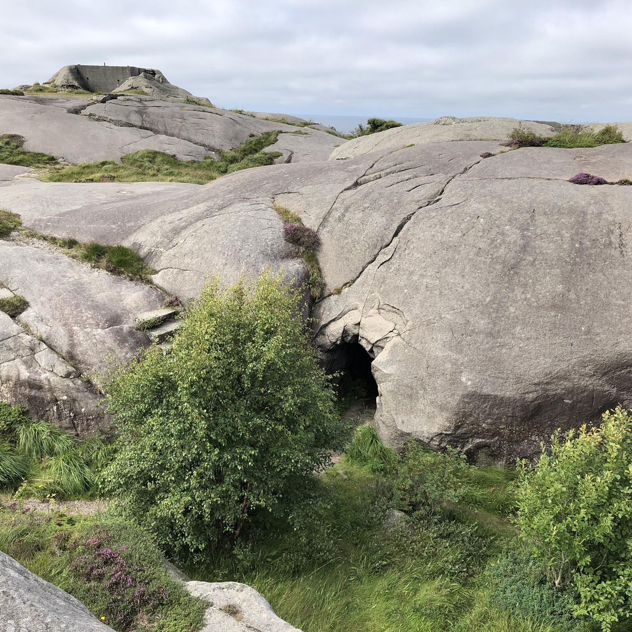
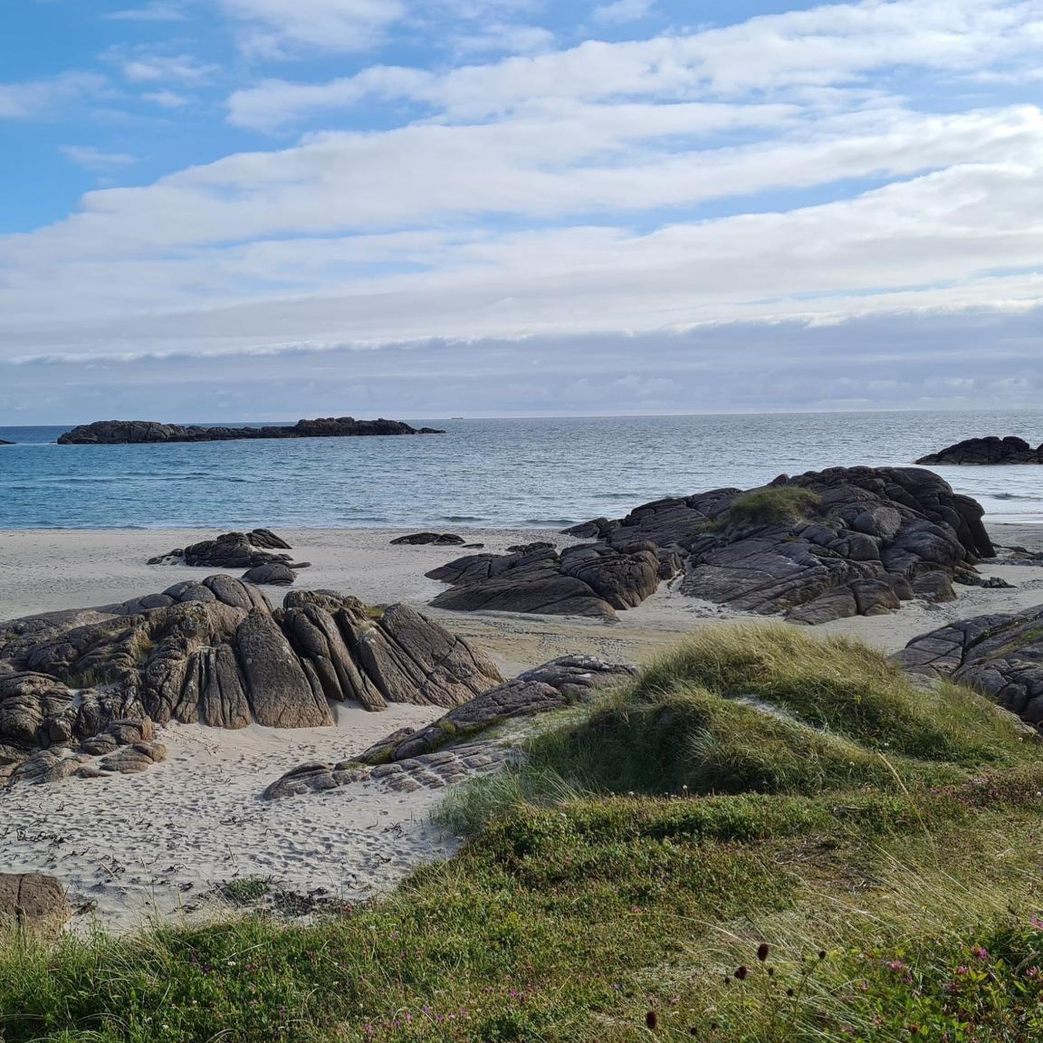
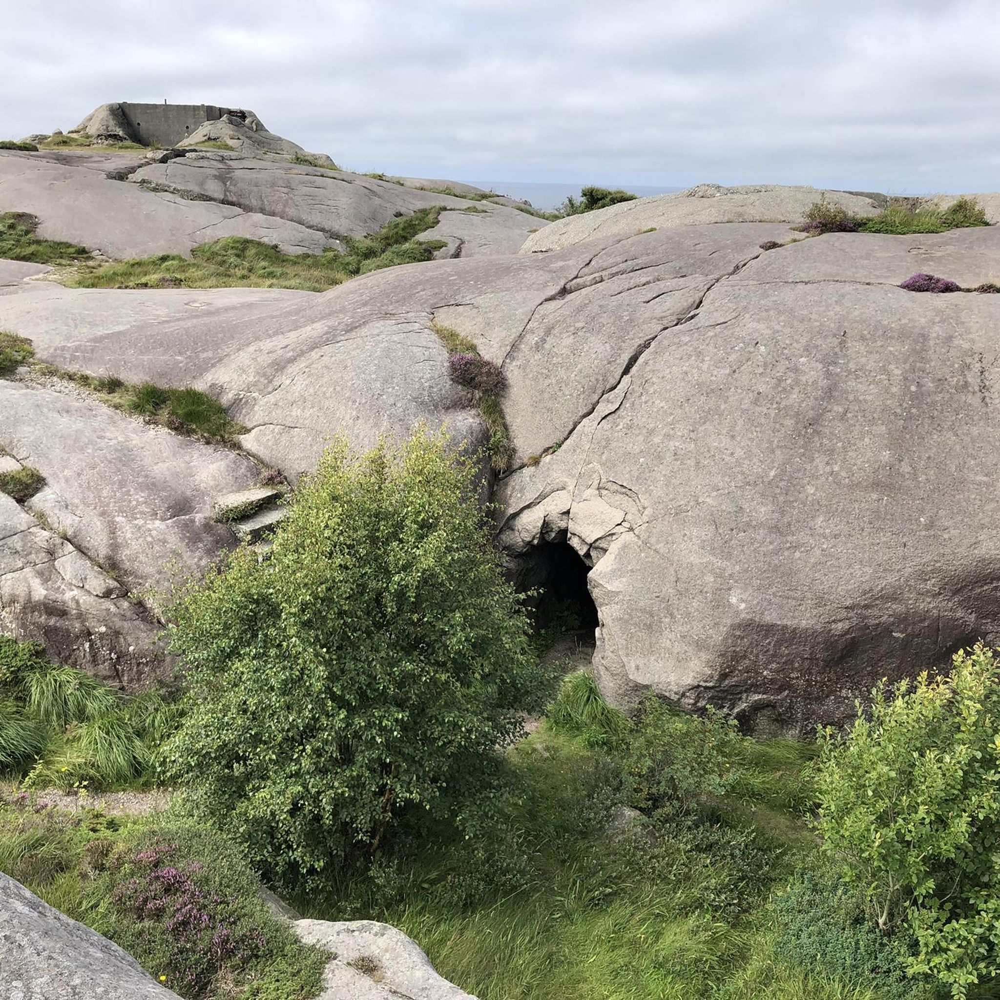
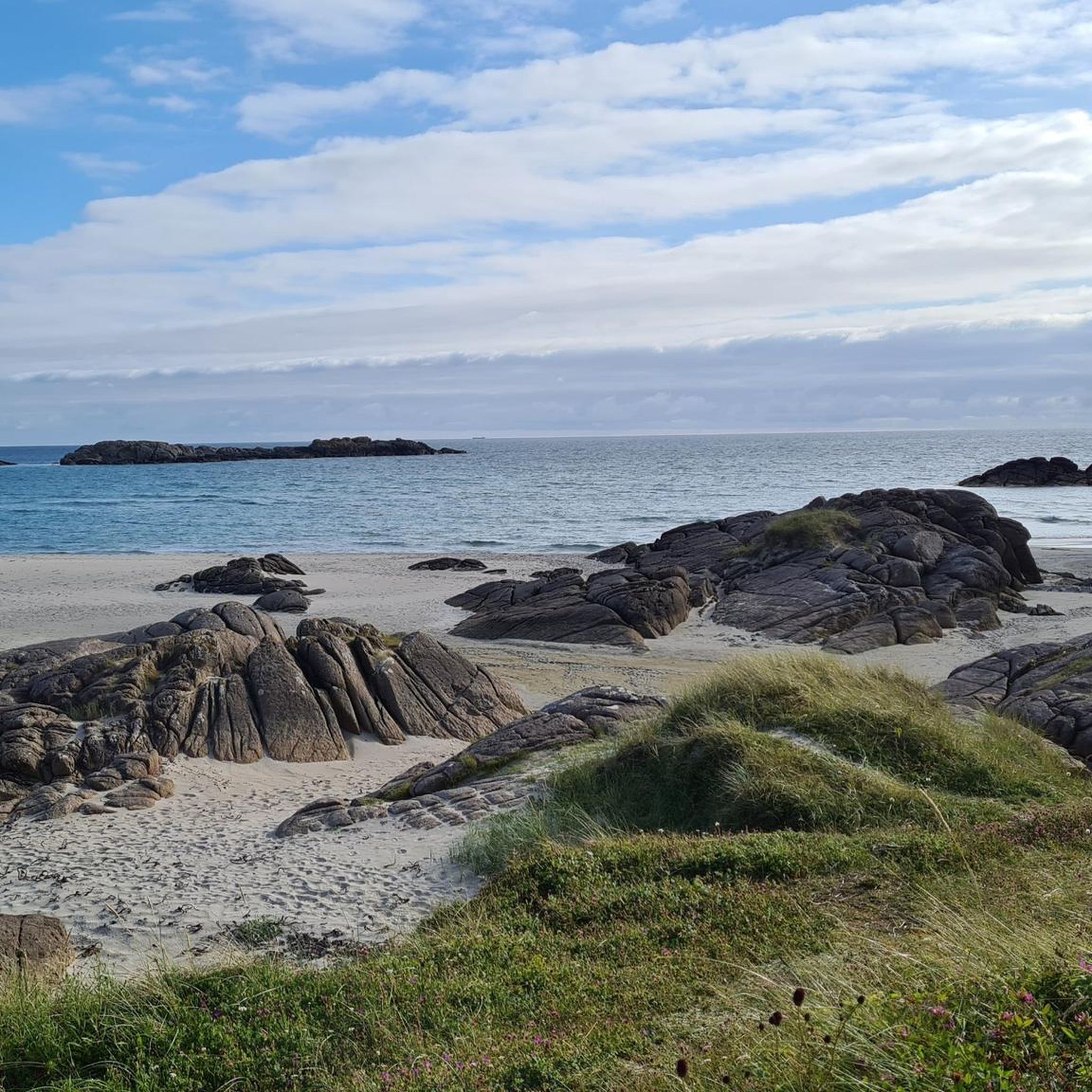
Tips from the Community

This beautiful gravel path runs through green fields and lush vegetation. Here you can walk in peace, enjoying the sounds and scents of nature.
0
0
The pond in Nærbøparken is a central and tranquil feature of this green urban oasis in Nærbø center. It is a relatively small body of water that creates a serene gathering spot, historically known as a "duck pond" and a key attraction for families. Surrounded by the park's lush greenery, cherry trees, and activity areas, the pond provides a calming, reflective surface and serves as a picturesque anchor for the community meeting place.
0
0

What a wonderful church! Unfortunately, it was closed, but a visit here is a must!
0
0
Beautiful shallow water can be found here… perfect for families with small children.
0
0
Magnificent beach with perfect water.
0
0


Be careful with the sand on the bike path
0
0
Frequently Asked Questions
How many road cycling routes are available in Hå?
Hå offers a good selection of road cycling routes, with over 30 different tours available. These routes cater to various skill levels, from easy rides to more challenging excursions.
What kind of terrain can I expect when road cycling in Hå?
The terrain in Hå is quite varied. You'll find extensive flat farmlands and expansive sandy beaches along the Jæren coastline, offering generally flat rides. However, some routes venture inland or feature rolling sections, incorporating moderate to significant elevation gains, providing a diverse cycling experience.
Are there routes suitable for beginners or those seeking an easier ride?
Yes, Hå has several road cycling routes suitable for beginners or those preferring an easier pace. There are 5 easy routes available, allowing you to enjoy the scenic coastal and farmland landscapes without significant climbs.
Are there challenging road cycling routes with significant elevation gain in Hå?
Absolutely. While much of Hå is known for its flat coastal plains, there are 9 difficult routes that offer substantial elevation gains. For instance, the Great view – Beautiful descent loop from Sirevåg is a challenging 101.8 km route with over 1,160 meters of climbing.
What natural features can I see along the road cycling routes in Hå?
Road cycling in Hå allows you to experience a rich tapestry of natural beauty. You'll encounter stunning sandy beaches like Brusand Beach, the unique Jæren coastline, and vast heather moorlands. The region is also characterized by open farmlands and offers scenic viewpoints such as the Scenic Viewpoint at Eikeskartjørna.
Are there any historical sites or cultural landmarks to explore while cycling in Hå?
Yes, Hå's routes often pass by interesting historical and cultural sites. You might encounter iconic lighthouses like Obrestad and Kvassheim, remnants of World War II defenses known as "Hitler's teeth" at Brusand, or the historic Hå gamle prestegard (old vicarage), which now serves as an art and culture center. The Wreck of the M/S Norfrost is another unique landmark.
What is the best time of year for road cycling in Hå?
The Jæren region can experience dynamic weather, often described as 'four seasons on the same trip.' While cycling is possible for much of the year, the warmer months from late spring to early autumn generally offer the most pleasant conditions for road cycling, with longer daylight hours and milder temperatures.
Are most road cycling routes in Hå circular?
Many of the popular road cycling routes in Hå are designed as loops, allowing you to start and end your ride in the same location. Examples include the Smaken av Landet AS – Beaches near Brusand loop from Brusand and the Beaches near Brusand – Scenic Pond loop from Vigrestad.
Are there cafes or eateries along the road cycling routes in Hå?
Yes, especially along routes like the Jærruta, you'll find opportunities to stop at farm shops and eateries that offer local produce. These can be great spots to refuel and experience the regional culinary offerings during your ride.
Can I find bike-friendly accommodation in Hå?
While specific bike-friendly accommodations are not detailed in the route information, the region is popular for outdoor activities. Some lighthouses along the coast even offer overnight accommodations, providing a unique stay for cyclists. It's advisable to check with local guesthouses or hotels for their bicycle storage and facility policies.
Is Hå suitable for dog-friendly road cycling?
Road cycling typically isn't ideal for bringing dogs along, especially on paved roads with traffic. While the region offers many outdoor opportunities, specific dog-friendly road cycling routes are not highlighted. For activities with dogs, you might consider exploring walking or hiking trails in the area where dogs are permitted.
Are there parking facilities available for cyclists in Hå?
Yes, many starting points for road cycling routes in Hå, particularly in towns like Brusand, Vigrestad, Sirevåg, and Nærbø, offer parking facilities. It's always a good idea to check the specific route details for recommended parking locations.
How can I access road cycling routes in Hå using public transport?
The Jærruta, a prominent 140-kilometer cycling route, connects areas between Stavanger International Airport and Egersund, which are accessible by public transport. For specific starting points like Brusand, Vigrestad, Sirevåg, or Nærbø, local bus or train services might provide access, though it's recommended to check local public transport schedules and bicycle carriage policies.
Most popular routes around Hå
Most popular attractions around Hå

Get inspired with the komoot mobile app


Explore more
Browse the best Road cycling routes in other regions.
