The best walks and hikes around Lippoldsberg
4.5
(225)
686
hikers
67
hikes
Hiking around Lippoldsberg offers varied terrain, primarily defined by the Weser River and its surrounding landscapes. The region features riverine paths and areas with gentle elevation changes, suitable for different hiking abilities. These routes provide opportunities to explore the natural environment and local points of interest. The area is characterized by a mix of open views and forested sections.
Best hiking trails around Lippoldsberg
- The most popular hiking route is View of Oedelsheim – WS Stamp 49: To Hell loop…
Last updated: October 7, 2026
4.6
(65)
172
hikers
15.8km
04:32
360m
360m
Moderate hike. Good fitness required. Mostly accessible paths. Sure-footedness required.
4.5
(15)
50
hikers
8.28km
02:15
120m
120m
Moderate hike. Good fitness required. Easily-accessible paths. Suitable for all skill levels.

4.3
(9)
31
hikers
Moderate hike. Good fitness required. Easily-accessible paths. Suitable for all skill levels.
4.6
(17)
33
hikers
Easy hike. Great for any fitness level. Easily-accessible paths. Suitable for all skill levels.
4.9
(9)
20
hikers
Easy hike. Great for any fitness level. Easily-accessible paths. Suitable for all skill levels.
Get access to more routes and recommendations from other explorers.
Already have an account?
Our route recommendations are based on thousands of hikes, rides, and runs completed by other people on komoot.
Start today with a free account
Your next adventure awaits.
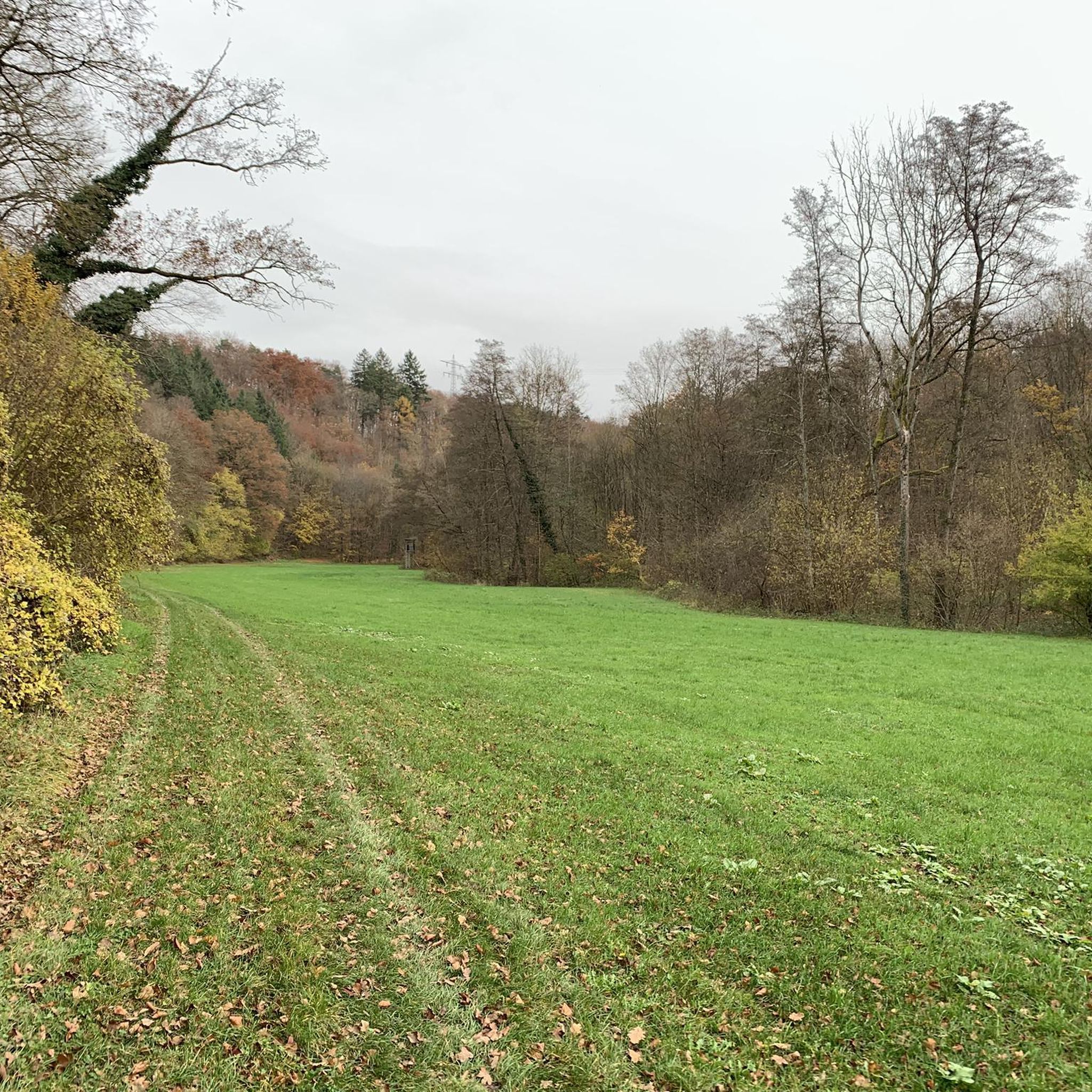
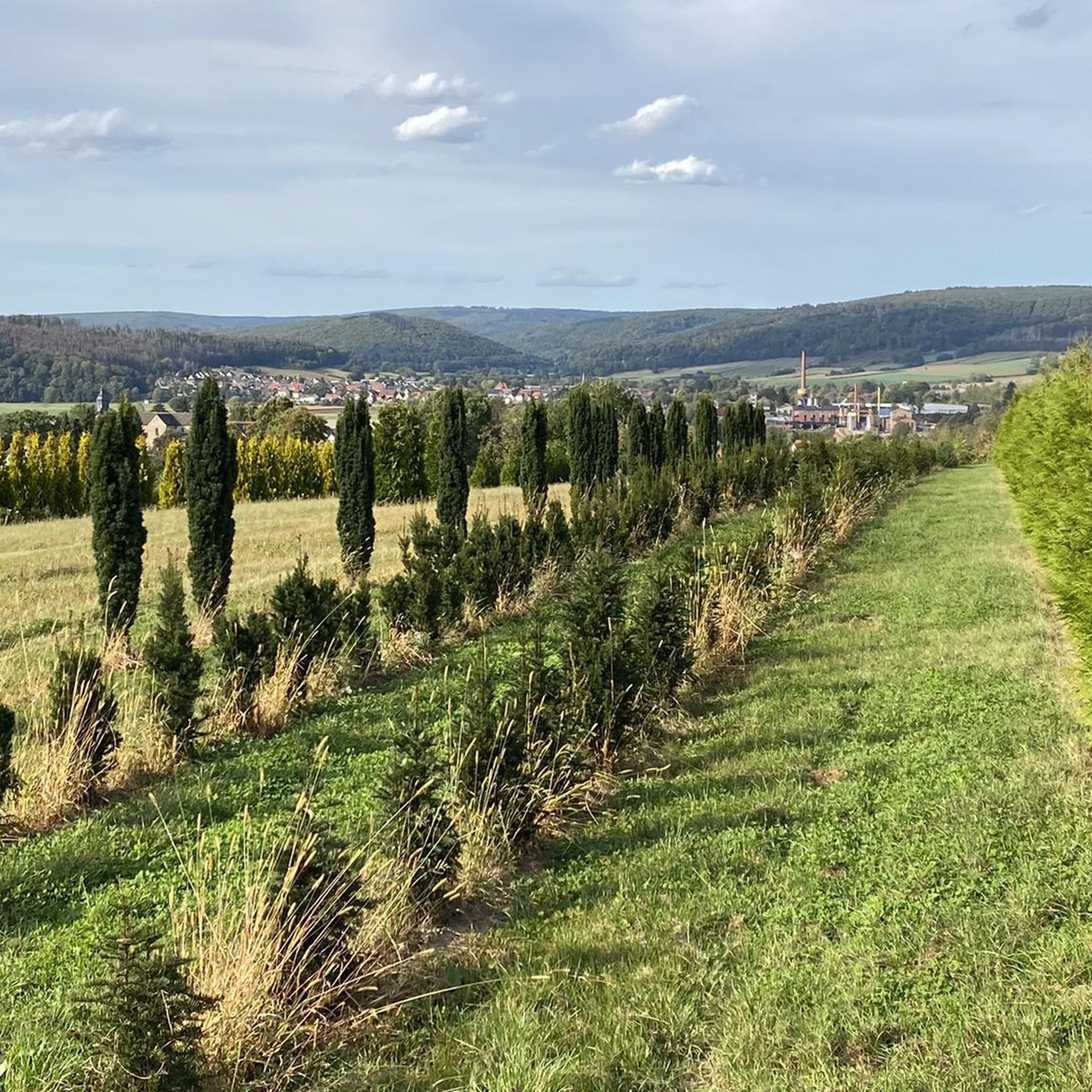
Other adventures around Lippoldsberg

Tips from the Community

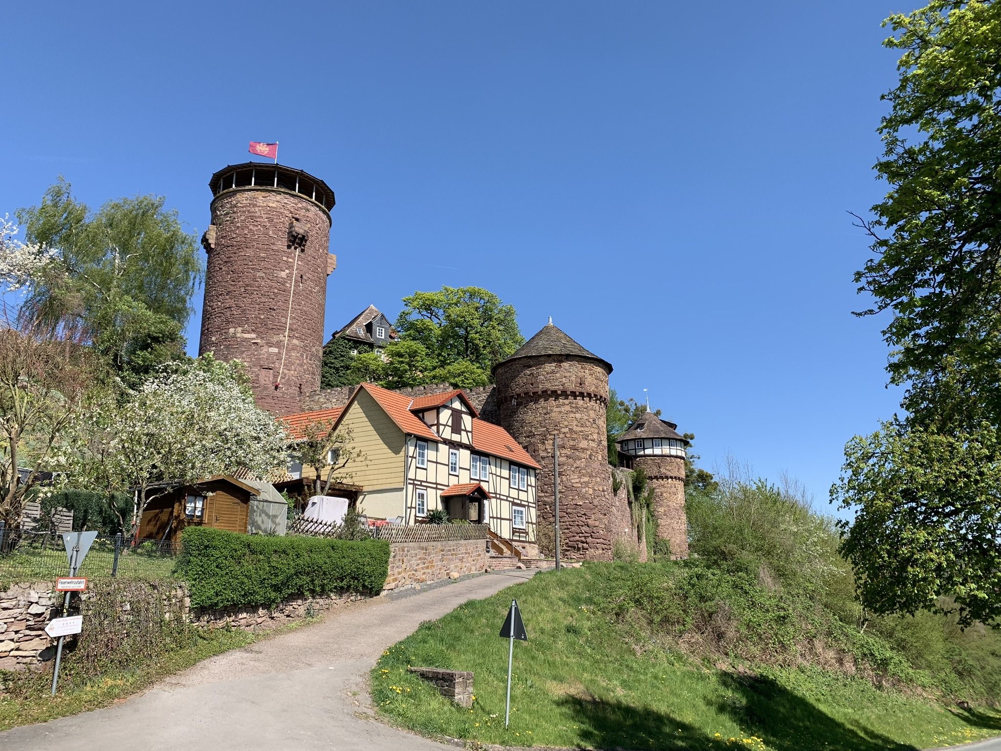
Beautiful information sign about the history of the castle and the noble family "von Werder".
0
0

a beautiful view! The ascent is also worthwhile in winter.
0
0
a pleasure even in winter
0
0

Wide view over Vernawahlshausen to the Solling.
0
0

The ferry offers a nice way to cross the Weser and use the cycle path on the other side. Unfortunately, the ferry did not run in August 2026 due to low water levels.
2
0

The access between the trees looks like the path to the field. We first walked past and had to turn back later to get hiking stamp 48.
0
0

Unfortunately, the ferry is currently unavailable, there is no ferryman for it at the moment 😢
0
0

At checkpoint 49, "To Hell," a rather heavenly view awaits, albeit high above the Hell's Ditch. 😄 A bench is provided for enjoying this vista.
11
0
Frequently Asked Questions
How many hiking trails are available around Lippoldsberg?
Lippoldsberg offers a diverse network of over 60 hiking trails. These routes cater to various preferences, with a good mix of easy and moderate options to explore the region's natural beauty.
What kind of terrain can I expect on hikes in Lippoldsberg?
The terrain around Lippoldsberg is primarily shaped by the Weser River, featuring riverine paths and areas with gentle elevation changes. You'll find a mix of open views and forested sections, providing varied landscapes for your hike.
Are there any easy hiking trails suitable for beginners or a relaxed walk?
Yes, there are many easy trails. For a relaxed walk, consider the WZ 2-Solling Water Reservoir – Zwersberg loop from Wesertal, an easy 5.1-mile (8.3 km) path that takes you past the Solling Water Reservoir.
Can I find circular hiking routes in the Lippoldsberg area?
Absolutely. Many trails in Lippoldsberg are circular, allowing you to start and end at the same point. An example is the View of Oedelsheim – WS Stamp 49: To Hell loop from Bodenfelde, a moderate 9.8-mile (15.7 km) route offering expansive views.
What are some notable natural features or viewpoints to see while hiking?
The region boasts scenic views, especially along the Weser River. You can enjoy panoramic vistas of the Weser Valley on routes like the View of the Weser Valley – WZ 2-Solling Water Reservoir loop from Wesertal. Additionally, the area features several picturesque gorges such as Niemetal and Reiherbach Valley.
Are there any historical landmarks or attractions near the hiking trails?
Yes, the area is rich in history. You can explore various castles and ruins, including the impressive Sababurg (Sleeping Beauty Castle) or the historic Krukenburg Ruins. The charming old spa town of Bad Karlshafen with its Baroque waterfront is also a great stop.
Are the hiking trails in Lippoldsberg suitable for families with children?
Many trails around Lippoldsberg are suitable for families, especially the easier routes with gentle elevation changes. The varied landscapes and river views provide an engaging experience for all ages.
What do other hikers say about the trails in Lippoldsberg?
The hiking routes in Lippoldsberg are highly rated by the komoot community, with an average score of 4.5 stars from over 180 reviews. Hikers often praise the varied terrain, the beautiful riverine landscapes, and the well-maintained paths.
Are there any cafes or places to eat near the hiking routes?
While specific cafes directly on every trail are not listed, the region offers amenities in nearby towns. For instance, the Bursfelde Monastery Mill, near the Weser cycle path, is recommended for refreshments. Bad Karlshafen also has Weser-side establishments with beer gardens.
Is there public transport access to the hiking trails in Lippoldsberg?
The region, particularly along the Weser Cycle Route, offers convenient entry and exit points, some with train connections, which can facilitate access to various starting points for hikes. Specific public transport details for individual trailheads would require local inquiry.
Where can I park my car when visiting the hiking trails?
Parking availability varies by trailhead. Generally, you can find parking in the towns and villages that serve as starting points for the trails, such as Bodenfelde or Wesertal. It's advisable to check local signage upon arrival.
What is a good moderate hike that explores riverine landscapes?
For a moderate hike through riverine landscapes, consider the Weberei-Museum Kircher – Schifferplatz Gieselwerder loop from Bodenfelde. This 5.0-mile (8.0 km) trail offers scenic views along the river.
Are there any longer, more challenging moderate hikes in the area?
If you're looking for a longer moderate challenge, the Bodenfelde Industrial Complex – Christ Church Bodenfelde loop from Bodenfelde is a good option. This route covers 10.8 miles (17.4 km) with some elevation changes.
Most popular routes around Lippoldsberg
Most popular attractions around Lippoldsberg

Get inspired with the komoot mobile app


Explore more
Browse the best Hikes in other regions.
