The best cycling routes around Waldachtal
4.5
(246)
929
riders
81
rides
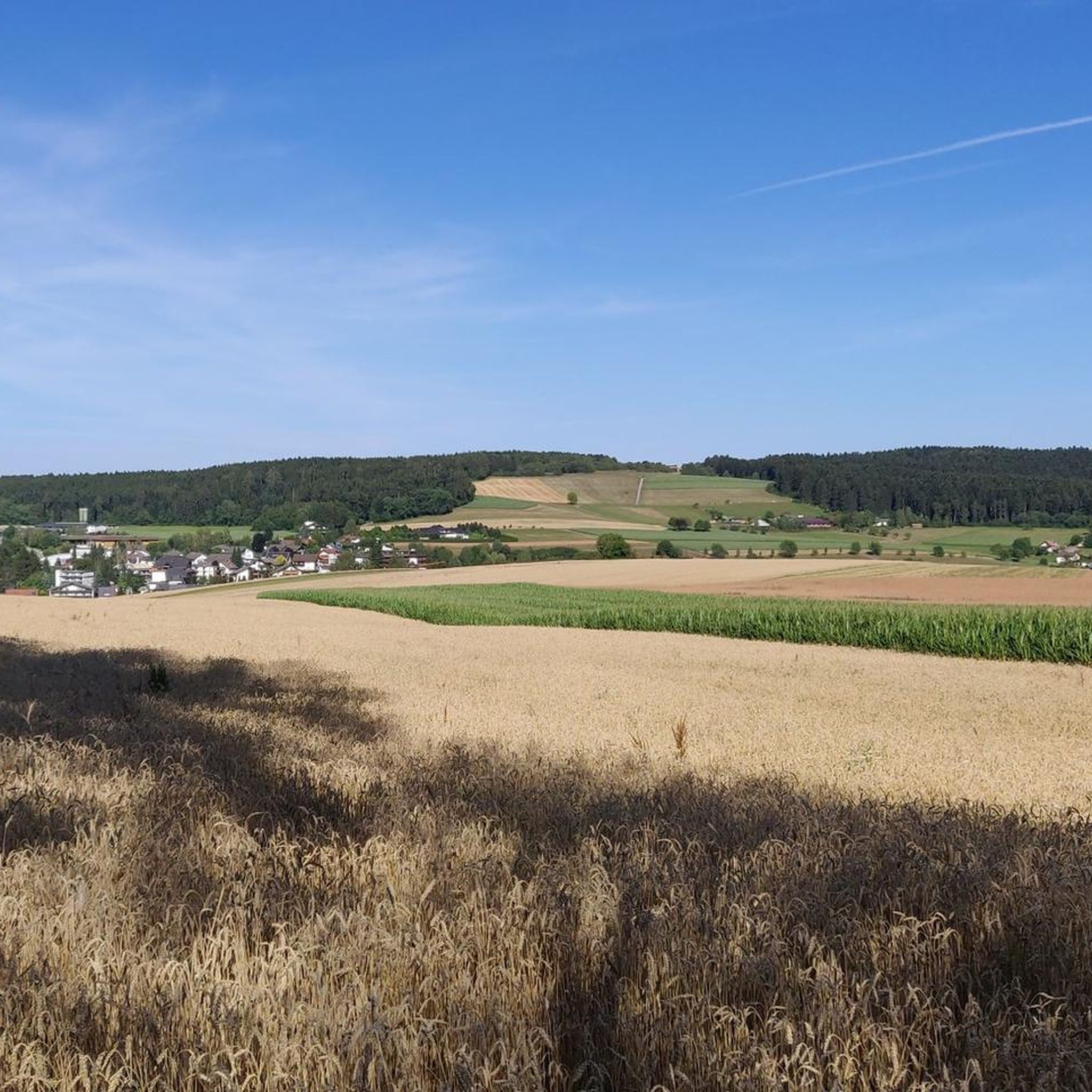
Touring cycling around Waldachtal offers a diverse landscape in the Northern Black Forest, situated at elevations between 550 and 700 meters. The region is characterized by dense forests and picturesque valleys, including the Waldach, Glatt, Zinsbach, and Nagold valleys. These features provide varied terrain for cyclists, from gentler valley paths to more challenging routes with panoramic views of the Black Forest. The well-developed network of trails caters to different cycling abilities.
Best touring cycling routes around Waldachtal
- The most popular…
Last updated: October 5, 2026
4.7
(15)
76
riders
Hard bike ride. Very good fitness required. You may need to push your bike for some segments of this route.
4.2
(13)
35
riders
26.9km
01:54
360m
360m
Moderate bike ride. Good fitness required. Mostly paved surfaces. Suitable for all skill levels.

4.5
(16)
107
riders
29.4km
02:03
500m
500m
Hard bike ride. Very good fitness required. Mostly paved surfaces. Suitable for all skill levels.
4.8
(11)
32
riders
17.2km
01:14
210m
210m
Moderate bike ride. Good fitness required. Mostly paved surfaces. Suitable for all skill levels.
3.9
(9)
43
riders
25.9km
01:43
330m
330m
Moderate bike ride. Good fitness required. Mostly paved surfaces. Suitable for all skill levels.
Get access to more routes and recommendations from other explorers.
Already have an account?
Our route recommendations are based on thousands of hikes, rides, and runs completed by other people on komoot.
Start today with a free account
Your next adventure awaits.
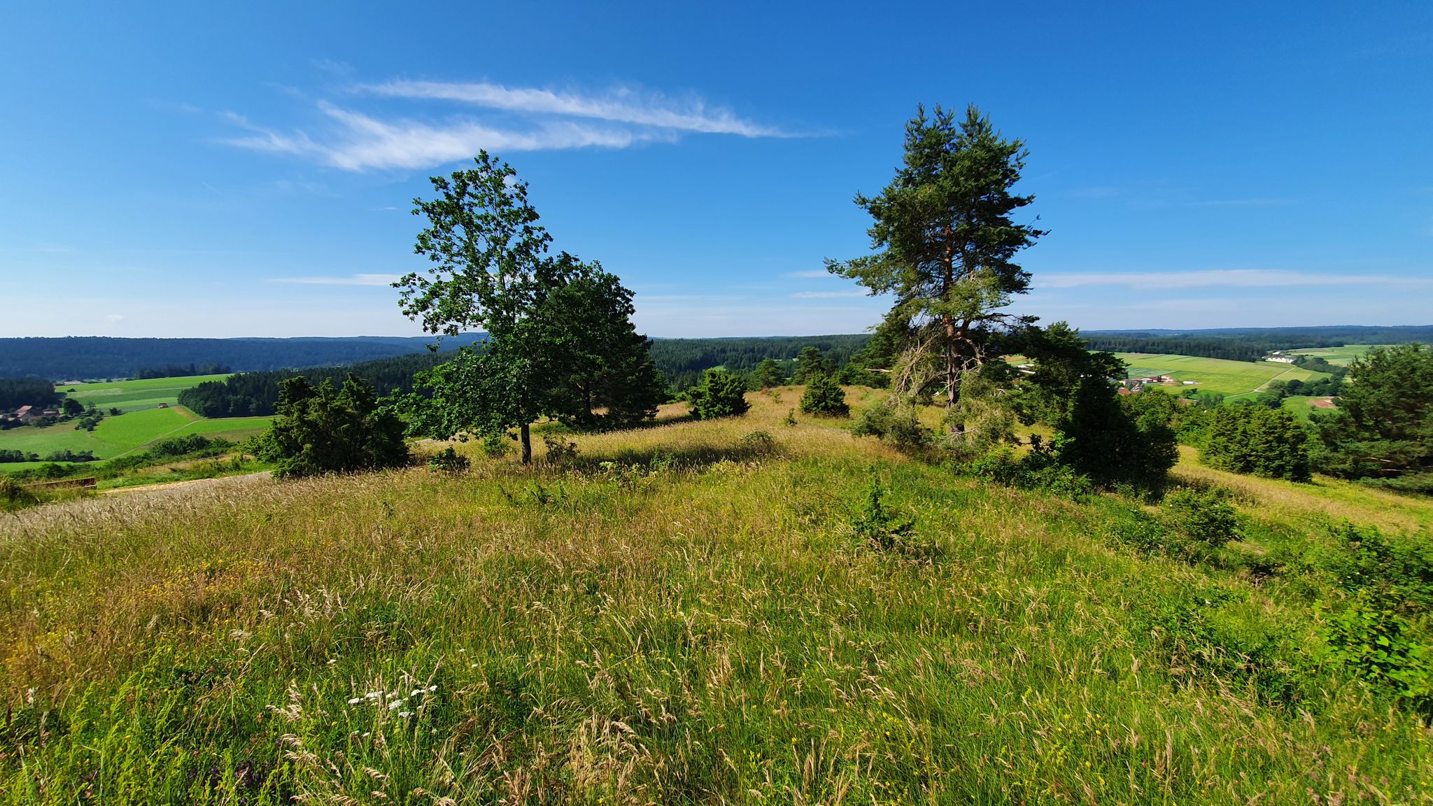
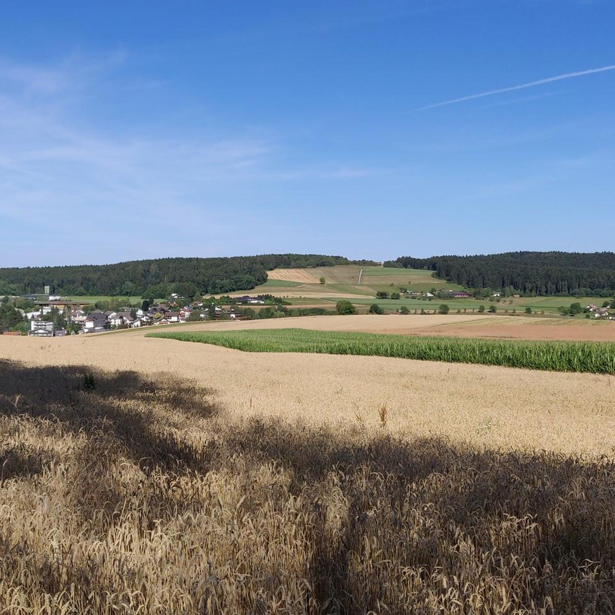

Other adventures around Waldachtal

Tips from the Community

Beautiful place with a view
0
0
Beautiful place for a break with a view
0
0

The Bömbachsee near Altensteig-Spielberg is idyllically situated, surrounded by forests in the middle of the countryside, and invites you to swim. The small lake is easily accessible via the Ziegelweg, and parking is available. A large sunbathing lawn with shady trees adjoins the eastern shore.
6
0

unfortunately closed during my ride. Would have liked to enjoy a little refreshment. Looks inviting.
1
0

The Bösinger Wasserhäusle was a pumping station and was used to transport fresh spring water from a source in the Waldach valley via cast iron pipes to the village of Bösingen (a district of the municipality of Pfalzgrafenweiler), located 1.4 km away and 140 meters higher up. The pumps were driven by the water power of the Waldach. A water wheel with a diameter of six meters was used. The facility went into operation in 1894. In 1911, it was supplemented by an 8 hp gasoline engine, which could now also drive the pumps during low water levels in the Waldach. In 1948, it was connected to the power grid via a transformer station, after which a newly installed electric motor could serve as a backup drive. The Bösingen's own water supply was taken out of service in 1991 due to drinking water contamination. The entire facility, including the weir, the power channel, and the pumping station, has been protected as a cultural-historical monument since 2000. The pumping station can be visited all day on the Day of the Open Monument. Source: https://de.wikipedia.org/wiki/B%C3%B6singer_Wasserh%C3%A4usle
0
0

Weir on the Waldach, 300-meter-long drive channel, iron, backward-acting water wheel with spur gear transmission, 6 meters in diameter (originally lined with wooden paddles), 3 meters of head in the drive channel, pump output: 3-5 HP depending on water inflow from the drive channel, double-acting plunger pump from Maschinenfabrik Esslingen from the year 1893 with a high-performance suction and delivery pump and pressure vessel. In 1991, the plant was shut down as a private water supply due to contaminated spring water. Depending on the water level of the Waldach, the pumping station managed to pump 160,000 liters of fresh spring water directly into the houses and into the water reservoir in Bösingen, 2.3 km away and 140 meters higher, in 8 to 14 hours. The spring yields 1-2 liters per second depending on the season.
0
0

Freudenstadt's city train station is within walking distance of the market square. The station itself is unremarkable.
2
0
Just a few steps and you're at Freudenstadt's large market square. The train station itself is unremarkable.
2
0
Frequently Asked Questions
How many touring cycling routes are available in Waldachtal?
Waldachtal offers a wide selection of touring cycling routes, with nearly 80 different options to explore. These routes vary in difficulty, catering to all levels of cyclists.
Are there any easy touring cycling routes suitable for beginners or families in Waldachtal?
Yes, Waldachtal has 10 easy touring cycling routes, many of which follow relatively flat valley paths. These are ideal for beginners or families looking for a relaxed ride through the picturesque valleys like the Waldach, Glatt, Zinsbach, and Nagold.
What are some notable natural attractions to see along the cycling routes in Waldachtal?
The region is rich in natural beauty. You can cycle past the serene Nagold Reservoir (Erzgrube) or the Nagold Reservoir (Nagoldtalsperre). The Waldsee Lützenhardt is another beautiful spot, and you might even discover the Confluence of the Waldach and the Nagold.
Are there any circular touring cycling routes in Waldachtal?
Yes, many routes in Waldachtal are designed as loops, allowing you to start and end at the same point. For example, the moderate Sandbühl Lake – Waldsee Lützenhardt loop from Lützenhardt is a great option for a circular tour, offering scenic views around the lakes.
What kind of views can I expect on the touring cycling routes in Waldachtal?
Waldachtal offers diverse and stunning views. You'll experience dense forests, picturesque valleys, and panoramic vistas of the Black Forest. Some routes even provide glimpses of the Swabian Alb. For elevated perspectives, consider routes that pass near viewpoints like the Friedrich Tower or Königskanzel Viewpoint.
What do other touring cyclists say about the routes in Waldachtal?
The touring cycling routes in Waldachtal are highly regarded by the komoot community, with an average rating of 4.5 stars from over 190 reviews. Cyclists often praise the varied landscapes, the well-developed network of trails, and the stimulating mild climate that enhances the riding experience.
Are there any longer touring cycling routes for more experienced riders?
Absolutely. For sportive touring cyclists looking for a longer challenge, the difficult Freudenstadt Market Square – Nature Adventure Pool Glätten loop from Cresbach covers nearly 47 km with significant elevation changes, offering a dynamic and engaging ride through varied landscapes.
Can I find routes that connect Waldachtal with nearby towns or cultural highlights?
Yes, several routes connect Waldachtal to broader attractions. For instance, the difficult Freudenstadt Market Square – Wittlensweiler Railway Bridge loop from Lützenhardt takes you towards Freudenstadt, allowing you to experience its famous market square. The region also offers connections to towns like Alpirsbach, Loßburg, and Pfalzgrafenweiler.
What is the best time of year to go touring cycling in Waldachtal?
Waldachtal benefits from a stimulating mild climate, making it suitable for year-round holidays. However, the spring, summer, and early autumn months generally offer the most pleasant weather for touring cycling, with lush greenery and comfortable temperatures.
Are there any routes that follow specific river valleys?
Yes, the region is characterized by several picturesque valleys. A great example is the moderate Bösingen Water House – Waldach Cycle Path loop from Lützenhardt, which specifically follows the Waldach Cycle Path, showcasing the beautiful valley topography.
What kind of terrain can I expect on the touring cycling routes in Waldachtal?
The terrain in Waldachtal is quite varied. You'll find relatively flat paths winding through river valleys, as well as more challenging routes with ascents and descents through dense forests. The region's elevation, ranging from 550 to 700 meters, contributes to this diverse landscape.
Are there any routes that are particularly good for e-bikes?
While all routes can be enjoyed with e-bikes, the 'Three Valleys - Waldach Zinsbach Nagold' e-bike route is specifically highlighted in the region. This route guides cyclists through the diverse topography of the Waldachtal, Zinsbachtal, and Nagoldtal, making it an excellent choice for e-bike users to explore the valleys with ease.
Most popular routes around Waldachtal
Most popular attractions around Waldachtal

Get inspired with the komoot mobile app


Explore more
Browse the best Cycling routes in other regions.
