The best walks and hikes around Waldhausen
4.6
(1395)
7,196
hikers
310
hikes
Hiking trails around Waldhausen are characterized by the rolling, hilly terrain of the Mühlviertel, featuring altitudes between 500 and 700 meters. The region offers a mix of dense forests, open meadows, and river valleys, including the Purzelkamp. Hikers can experience impressive views of the Danube Valley and encounter ancient stone formations.
Best hiking trails around Waldhausen
- The most popular hiking route is View of Lichtenfels Castle – Ottenstein Castle loop from Rastenfeld, a 9.3 miles (14.9 km) trail that…
Last updated: July 2, 2026
4.7
(22)
150
hikers
14.9km
04:04
220m
220m
Moderate hike. Good fitness required. Easily-accessible paths. Suitable for all skill levels.
4.9
(8)
43
hikers
6.66km
01:48
80m
80m
Easy hike. Great for any fitness level. Easily-accessible paths. Suitable for all skill levels.

Sign up for free
5.0
(2)
29
hikers
Moderate hike. Good fitness required. Easily-accessible paths. Suitable for all skill levels.
5.0
(3)
24
hikers
13.0km
03:33
190m
190m
Moderate hike. Good fitness required. Easily-accessible paths. Suitable for all skill levels.
5.0
(5)
38
hikers
Easy hike. Great for any fitness level. Easily-accessible paths. Suitable for all skill levels.
Get access to more routes and recommendations from other explorers.
Sign up for free
Already have an account?
Our route recommendations are based on thousands of hikes, rides, and runs completed by other people on komoot.
Start today with a free account
Your next adventure awaits.
Login or Signup

Tips from the Community

No Merlot here — the shelf stands empty, quiet, waiting for a bottle that never comes. Kein Merlot hier — das Regal bleibt leer, still, wartend auf eine Flasche, die nie kommt. Pas de Merlot ici — l'étagère reste vide, silencieuse, attendant une bouteille qui n'arrive jamais. No hay Merlot aquí — el estante queda vacío, silencioso, esperando una botella que nunca llega.
0
0

The Ottenstein reservoir, is the largest of the Kamp lakes and is among the richest waters in fish in Austria and at the same time among the best predatory fish waters in Europe. Its water surface is 4.3 km² and extends with its fjord-like, branched side arms, with a length of more than 14 km, up to Zwettl. The deepest point is 69 m.
0
0


nice place for a short rest
0
0

our tour to the castle - https://www.komoot.com/de-de/tour/2048966452
0
1

The reservoir covers an area of about 300 hectares and offers numerous water sports such as swimming, sailing and fishing. There are well-developed hiking and cycling trails around the lake, giving you the opportunity to explore the beautiful landscape.
1
0

This lake is near Ottenstein and has caused a lot of misery in 2024
1
0

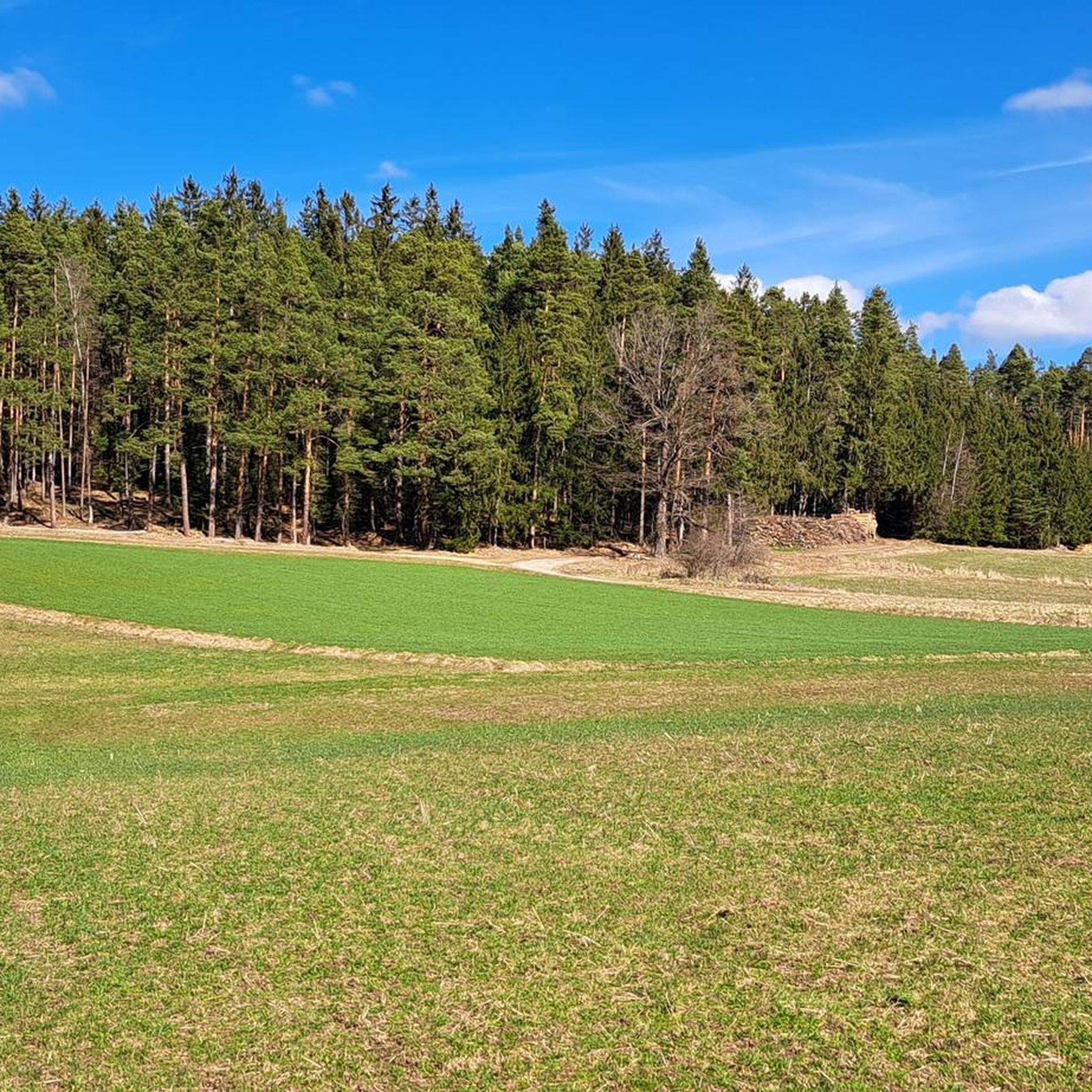
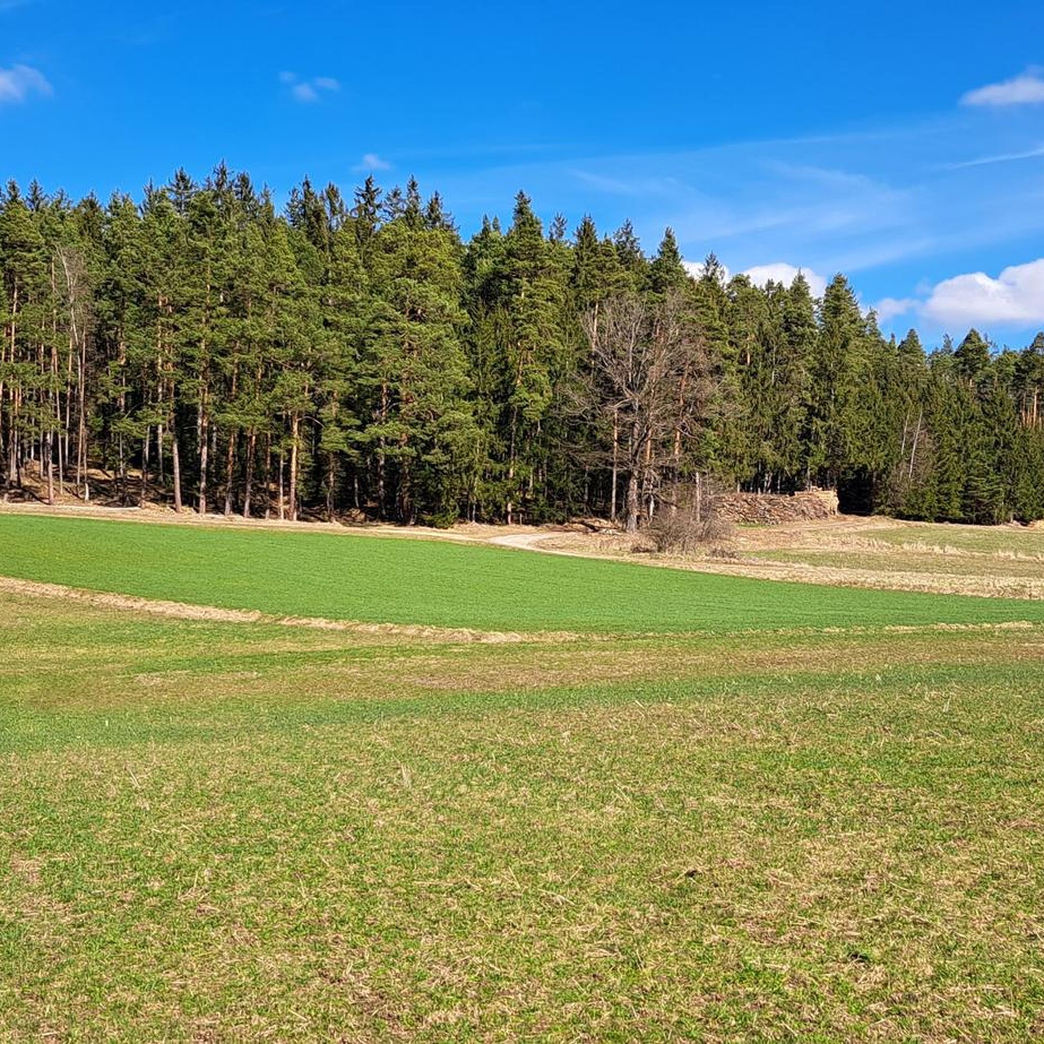
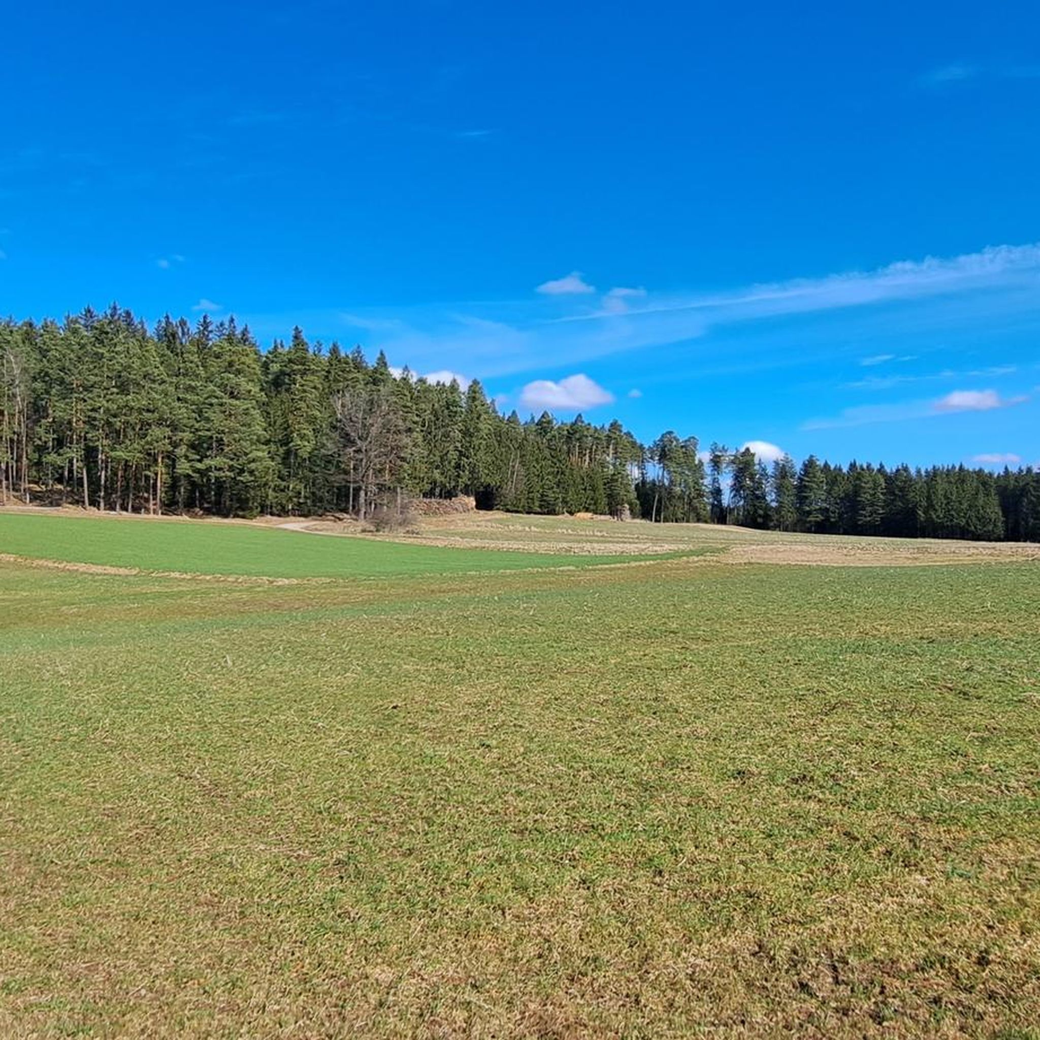
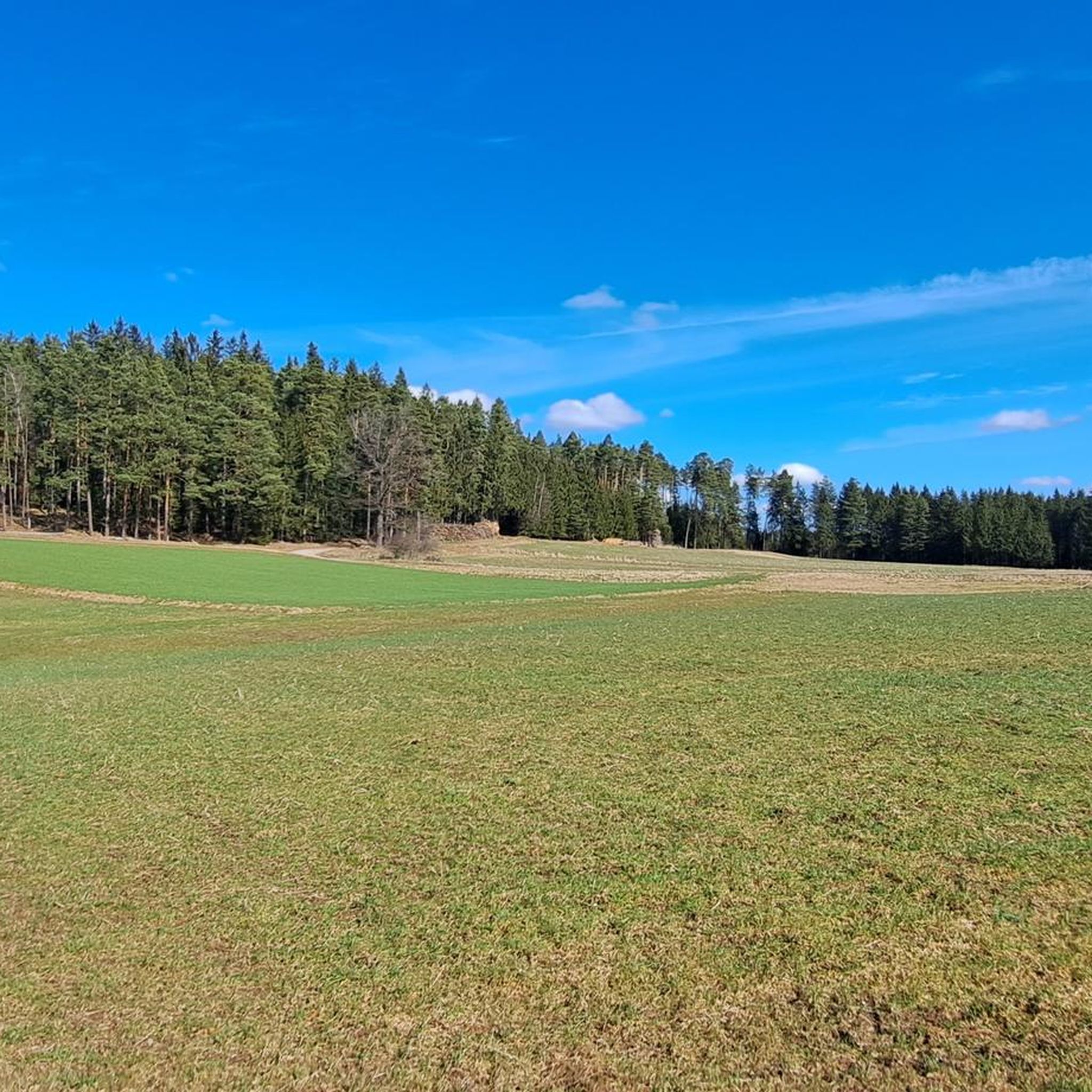
Very beautiful hiking trail across the fields. In early summer the poppies bloom here in bright colors.
1
0
Frequently Asked Questions
How many hiking trails are available in Waldhausen?
Waldhausen offers a wide variety of hiking experiences with over 300 trails. These range from easy walks to moderate excursions and more challenging routes, catering to all levels of hikers.
Are there family-friendly hiking options in Waldhausen?
Yes, Waldhausen has many easy trails suitable for families. For example, the Sonnentor Experience World loop from Katastralgemeinde Sprögnitz is an easy 4.1-mile path through meadows and forests, perfect for a shorter outing with children. Another easy option is the Lichtenfelser Chapel – Lichtenfels Castle Ruins loop from Rastenfeld, a shorter 2.1-mile route.
What kind of landscapes can I expect to see while hiking in Waldhausen?
Hikers in Waldhausen will experience the characteristic hilly terrain of the Mühlviertel, with altitudes between 500 and 700 meters. The landscape features a mix of dense forests, open green meadows, and river valleys like the Purzelkamp. You can also find impressive natural rock monuments and expansive views, including panoramas of the Danube Valley and the Strudengau.
Are there any circular hiking routes in the Waldhausen area?
Yes, many trails in Waldhausen are designed as circular routes. A popular moderate option is the Celtic Tree Horoscope Trail – Auberg Observation Tower loop from Katastralgemeinde Sprögnitz, a 5.3-mile trail leading through varied terrain to an observation tower. Another is the View of Lichtenfels Castle – Ottenstein Castle loop from Rastenfeld, a 9.3-mile moderate route offering views of castles and the surrounding hilly landscape.
Are there any historical or natural landmarks to explore along the trails?
Absolutely. The region is rich in both natural and historical landmarks. You can encounter ancient and legendary stones like Marienstein, Mondstein, and Frauenstein. Cultural sights include Waldhausen Abbey and the proud Burg Rappottenstein. Trails also offer views of the wild and romantic gorges of the Danube, particularly from the "Strudenblick" lookout point, and features like the Hoher Stein Summit.
What do other hikers say about the trails in Waldhausen?
The trails in Waldhausen are highly rated by the komoot community, with an average score of 4.6 stars from over 1,300 reviews. Hikers often praise the varied terrain, the well-maintained paths, and the beautiful views of the Mühlviertel landscape and the Danube Valley.
Are there options for longer, more challenging hikes?
While Waldhausen offers many easy and moderate trails, there are also options for more demanding routes. The region features 18 difficult trails for those seeking a greater challenge. The View of Ottenstein Reservoir – Ottenstein reservoir loop from Rastenfeld, for instance, is a moderate 8.1-mile hike with significant elevation changes, offering a good workout and scenic views of the reservoir.
Are there any trails that offer views of the Danube Valley?
Yes, Waldhausen's strategic location provides impressive views of the Danube Valley. The Strudengau area, in particular, offers trails with panoramas over Grein and the Danube. Look for routes that pass through viewpoints like "Strudenblick" to experience these scenic vistas.
Are there any trails that pass by reservoirs or water features?
The region is shaped by river valleys and features the Kampstausee (Kamp Reservoir). Trails like the View of Ottenstein Reservoir – Ottenstein reservoir loop from Rastenfeld offer beautiful views of the Ottenstein reservoir, which boasts numerous fjords extending into the valleys of the Friedersbach, Sprögnitz, and Purzelkamp.
What is the best time of year to go hiking in Waldhausen?
The diverse landscapes of Waldhausen are enjoyable throughout much of the year. Spring and autumn offer pleasant temperatures and vibrant scenery with blooming flowers or colorful foliage. Summer is also popular, though some trails might be more exposed. Winter hikes are possible, especially on well-maintained paths, offering a different, serene experience of the snow-covered Mühlviertel.
Is public transport available to access hiking trails in Waldhausen?
While specific public transport connections directly to every trailhead may vary, Waldhausen is generally accessible. It's advisable to check local bus schedules or regional transport options for connections to the main villages or starting points of the trails. Many routes are designed to be accessible from central locations.
Can I bring my dog on the hiking trails in Waldhausen?
Most hiking trails in Waldhausen are dog-friendly, allowing you to enjoy the beautiful nature with your canine companion. However, it's always recommended to keep dogs on a leash, especially in areas with livestock or wildlife, and to be mindful of local regulations. Please ensure you carry water for your dog and clean up after them.
Most popular attractions around Waldhausen

Get inspired with the komoot mobile app


Explore more
Browse the best Hikes in other regions.
