The best walks and hikes around Waveney
4.5
(539)
4,506
hikers
255
hikes
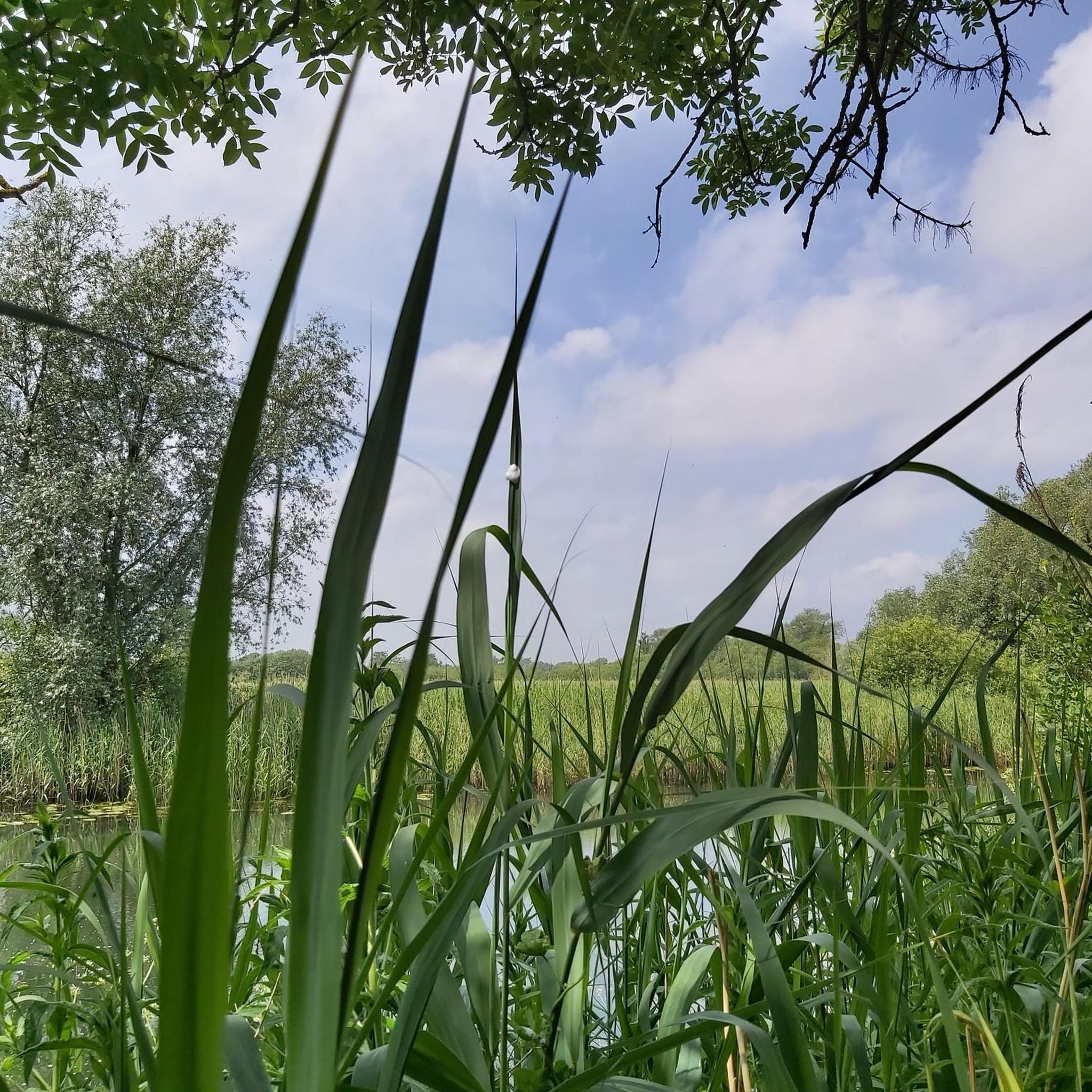
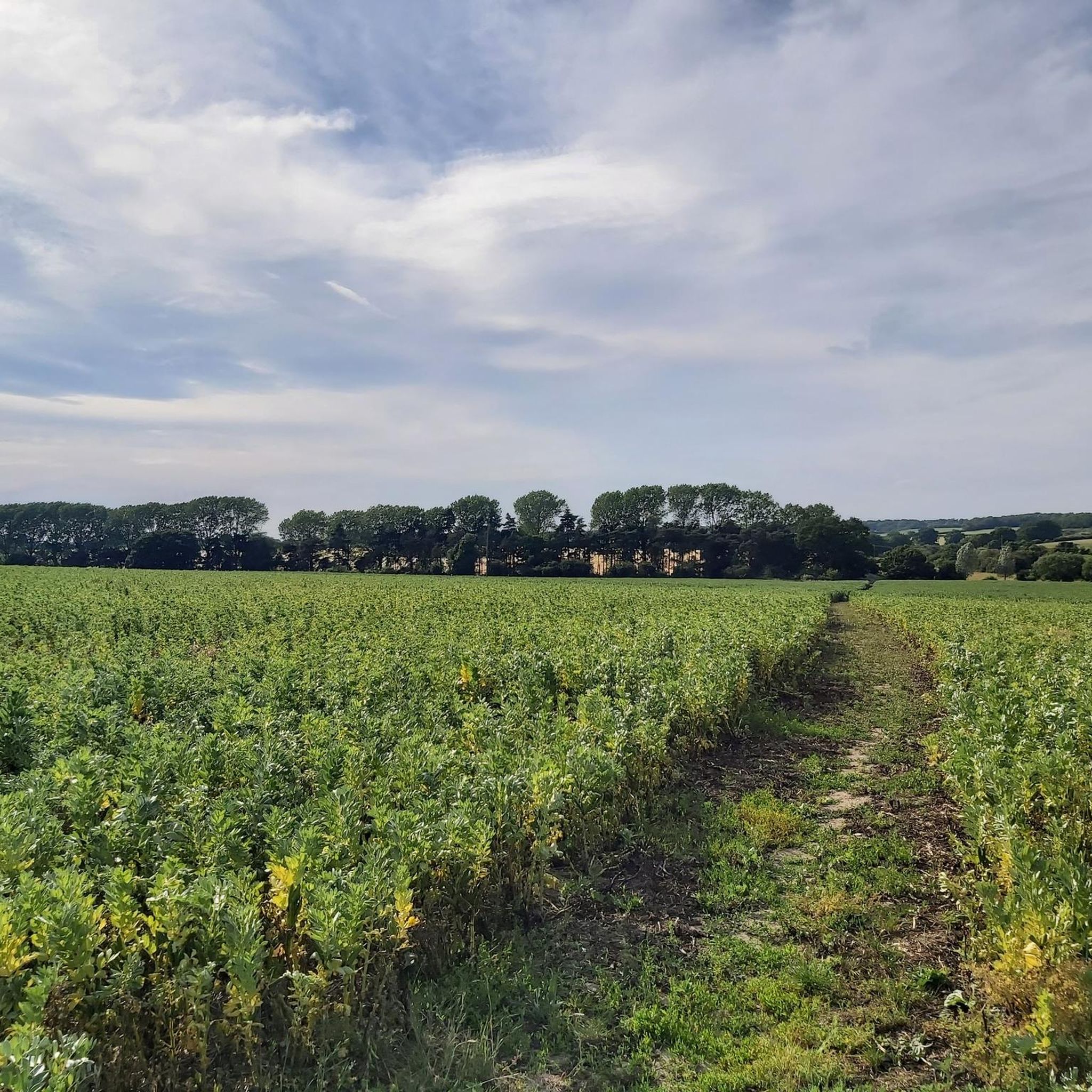
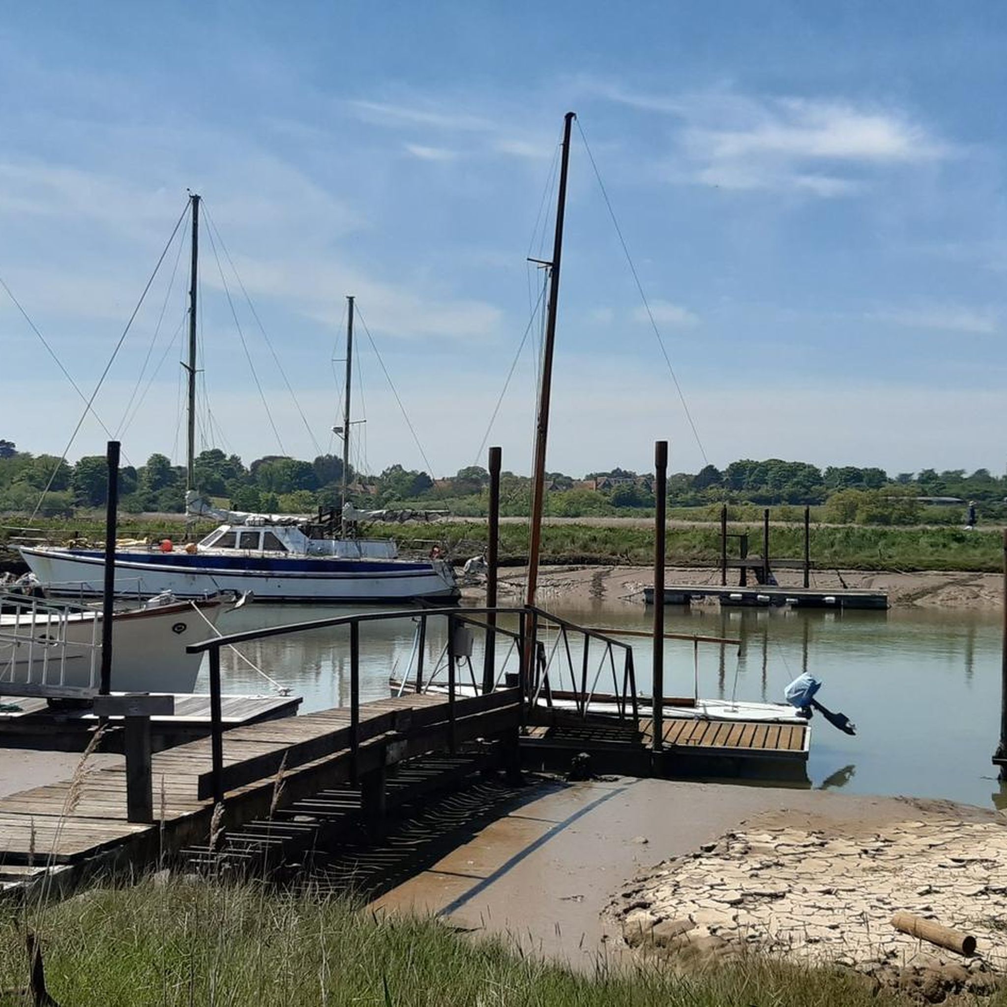
Hikes around Waveney explore a landscape on the border of Norfolk and Suffolk, characterized by its gentle countryside and the meandering River Waveney. The region's terrain combines coastal paths with inland river meadows, expansive marshes, and tranquil woodlands. Most Waveney Valley walking routes follow relatively flat ground, making it an accessible area for a variety of hikes.
Best hiking trails around Waveney
- The most popular hiking route is Bigod’s Way – best walks in the Broads, a 5.4 mile (8.7 km) trail that takes about 2 hours 15 minutes to complete. This route follows a section of the River Waveney and passes near Bungay Castle.
- Another top favourite among local hiking enthusiasts is Southwold & Walberswick loop via Corporation Marshes — Suffolk Coast & Heaths, a moderate 8.6 mile (13.8 km) path. The trail crosses marshland and follows a section of the Suffolk coast.
- Local hiking enthusiasts also love the Beccles Marsh Trail – family walks in the Broads, a 7.2 mile (11.6 km) trail leading through the Beccles Marshes, often completed in about 3 hours.
- Hiking around Waveney is defined by riverside paths, coastal trails, and expansive marshes. The network of routes offers options suitable for different fitness and experience levels.
- The routes in Waveney are highly rated by the komoot community with an average score of 4.5 stars from over 440 reviews. More than 3,900 hikers have used komoot to explore Waveney's varied terrain.
Last updated: August 30, 2026
4.7
(38)
156
hikers
8.74km
02:15
40m
40m
Moderate hike. Good fitness required. Easily-accessible paths. Suitable for all skill levels.
4.9
(35)
144
hikers
Embark on a moderate 8.6-mile (13.8 km) hike that takes about 3 hours and 30 minutes, offering a diverse journey through the Suffolk Coast & Heaths. With only 128 feet (39 metres) of elevation gain, this largely flat route combines coastal paths, marshland, and heathland. You will walk along boardwalks through reedbeds, enjoy views of the tidal estuary of the River Blyth, and pass by colorful beach huts.
Prepare for varied terrain on this route; while mostly flat, some sections can get very muddy, especially after rain, so sturdy shoes are a good idea. The trail connects the vibrant town of Southwold with the picturesque village of Walberswick. During summer, you can take a passenger ferry across the River Blyth, adding a unique touch to your journey. A footbridge is also available if the ferry is not running or if you prefer to walk the entire way.
This loop is a haven for birdwatchers, especially in the marshlands and reedbeds, where you might spot Marsh Harriers, Bearded Tits, or even hear booming Bitterns. The area is part of the Suffolk Coast & Heaths Area of Outstanding Natural Beauty, known for its rich mosaic of habitats. You will also pass historical landmarks like the 18th-century cannons on Gun Hill in Southwold, which once defended against pirates.

Sign up for free
4.5
(27)
125
hikers
11.6km
02:58
30m
30m
Moderate hike. Good fitness required. Mostly accessible paths. Sure-footedness required.
5.0
(17)
63
hikers
12.9km
03:17
40m
40m
Embark on a moderate hike along the Walberswick to Blythborough loop, a journey that spans 8.0 miles (12.9 km) with a gentle elevation gain of 140 feet (43 metres). You can expect to complete this route in about 3 hours and 17 minutes. The trail guides you through a diverse landscape, from the sandy stretches of the coast to the quiet inland heathland. As you follow the River Blyth estuary, you will encounter vast reedbeds and marshes, occasionally catching glimpses of the sea. Look out for the historic Old Wind Pump, a notable landmark along the way, adding to the tranquil Suffolk character of your walk.
Planning your hike on this loop is straightforward, with Walberswick offering convenient parking as a starting point. The paths are generally accessible for various fitness levels, making it a welcoming route for many. However, be prepared for potentially muddy sections, especially after rainfall, so appropriate waterproof footwear is highly recommended. Starting your adventure earlier in the day allows ample time to enjoy the scenery and complete the loop comfortably.
This trail is notable for its ever-changing, low-lying landscape within the Suffolk Coast & Heaths National Landscape. You will experience the unique ecosystem of the River Blyth estuary, home to extensive reedbeds that support diverse wildlife. The route offers a genuine taste of the tranquil Suffolk character, blending coastal views with inland charm. It provides a distinct perspective on the region's natural beauty, setting it apart from more rugged inland trails.
4.7
(11)
38
hikers
Embark on the Tinker's Marshes, Corporation Marshes & Walberswick loop from Southwold, a moderate hiking route that immerses you in the unique Suffolk Coast & Heaths National Landscape. This 10.2 miles (16.4 km) journey offers a varied landscape, from the expansive wetlands of Tinker's and Corporation Marshes to refreshing coastal vistas. You will gain a gentle 159 feet (49 metres) in elevation, making it a rewarding experience that typically takes around 4 hours and 10 minutes to complete.
When planning your visit, be aware that the terrain can be varied, with riverside paths potentially becoming muddy, especially after rain; sturdy boots are highly recommended. Parking is generally available in Southwold, which serves as the convenient starting point for this loop. If you are hiking during the summer months, you can take advantage of the ferry service across the River Blyth, connecting Walberswick and Southwold, adding a charming element to your day.
This route is notable for its rich biodiversity, particularly in the wetlands and reed beds where you can spot diverse bird species. Beyond the natural beauty, the trail also guides you through the charming Walberswick Village Green and provides glimpses of Southwold Harbour, blending natural exploration with local village charm. It offers a distinct experience within the region, showcasing both marshland tranquility and coastal vibrancy.
4.1
(8)
58
hikers
9.23km
02:20
20m
20m
Hike the Beccles & Angles Way loop for a moderate 5.7-mile (9.2 km) journey through the scenic Waveney Valley. This trail, taking about 2 hours and 20 minutes with only 66 feet (20 metres) of elevation gain, offers a mix of natural paths, paved sections, and gravel. You'll follow the River Waveney, traversing river walls and marshlands, and cross open fields bordered by zig-zag hedgerows. Keep an eye out for diverse wildlife like kingfishers and marsh harriers as you enjoy panoramic views of the unspoilt countryside. The route also weaves through the historic market town of Beccles, giving you glimpses of medieval and Georgian buildings.
Planning your visit to the Beccles & Angles Way loop is straightforward, with Beccles serving as an excellent starting point due to its public transport links. While the trail is generally accessible, be aware that some paths, especially away from the river, can become muddy or even flooded. The mixed terrain includes natural paths, asphalt, and gravel, so wear appropriate footwear. You'll find sections like the Beccles Marsh Trail are designed for easier access if you prefer a shorter stroll. Consider the weather conditions before you go to ensure a comfortable hike.
This loop is a segment of the much larger 93-mile Angles Way, a long-distance trail that largely traces the River Waveney between Great Yarmouth and Thetford. Along the route, you can discover historical elements such as the medieval Worlingham Wall, an ancient flood defense, and an Iron Age causeway. For a unique break, you have the option for a short excursion to the well-regarded Geldeston Locks Inn. The trail's dynamic atmosphere offers everything from peaceful countryside to livelier sections along the river with boats and holidaymakers.
4.3
(7)
42
hikers
22.9km
05:51
80m
80m
Embark on the Sandlings Walk, a difficult hiking route that challenges you with its 14.2 miles (22.9 km) and 264 feet (81 metres) of elevation gain. This journey through the Suffolk Coast and Heaths AONB takes approximately 5 hours and 51 minutes to complete. You will experience a varied landscape, from the vibrant heathlands dotted with heather and gorse to the historical forests of Tunstall and Rendlesham, before reaching views of Dunwich Beach.
While the well-drained sandy paths make the Sandlings Walk suitable for hiking year-round, you should always plan for variable weather conditions, especially near the coast. The route conveniently passes through several towns and villages, providing opportunities to stop for refreshments or even arrange an overnight stay. Consider starting early to make the most of daylight hours on this extensive trail.
The Sandlings Walk is notable for its passage through the diverse Suffolk Coast and Heaths Area of Outstanding Natural Beauty. You will encounter peaceful riverside paths, particularly along the Dunwich River in the Corporation Marshes, showcasing a unique blend of coastal and inland ecosystems. This trail offers a deep immersion into the region's natural beauty and historical woodlands.
2.7
(3)
15
hikers
12.3km
03:07
30m
30m
Moderate hike. Good fitness required. Easily-accessible paths. Suitable for all skill levels.
4.5
(2)
14
hikers
7.50km
01:55
30m
30m
Easy hike. Great for any fitness level. Easily-accessible paths. Suitable for all skill levels.
4.8
(4)
22
hikers
7.16km
01:49
20m
20m
The Marsh Meander is an easy 4.5-mile hike in Reydon Marshes, offering abundant birdlife and views of the River Blyth.
Get access to more routes and recommendations from other explorers.
Sign up for free
Already have an account?
Our route recommendations are based on thousands of hikes, rides, and runs completed by other people on komoot.
Start today with a free account
Your next adventure awaits.
Login or Signup



Other adventures around Waveney


Tips from the Community


Great pub grub, there's a definite argument for it making the best fish and chips in the area
0
0

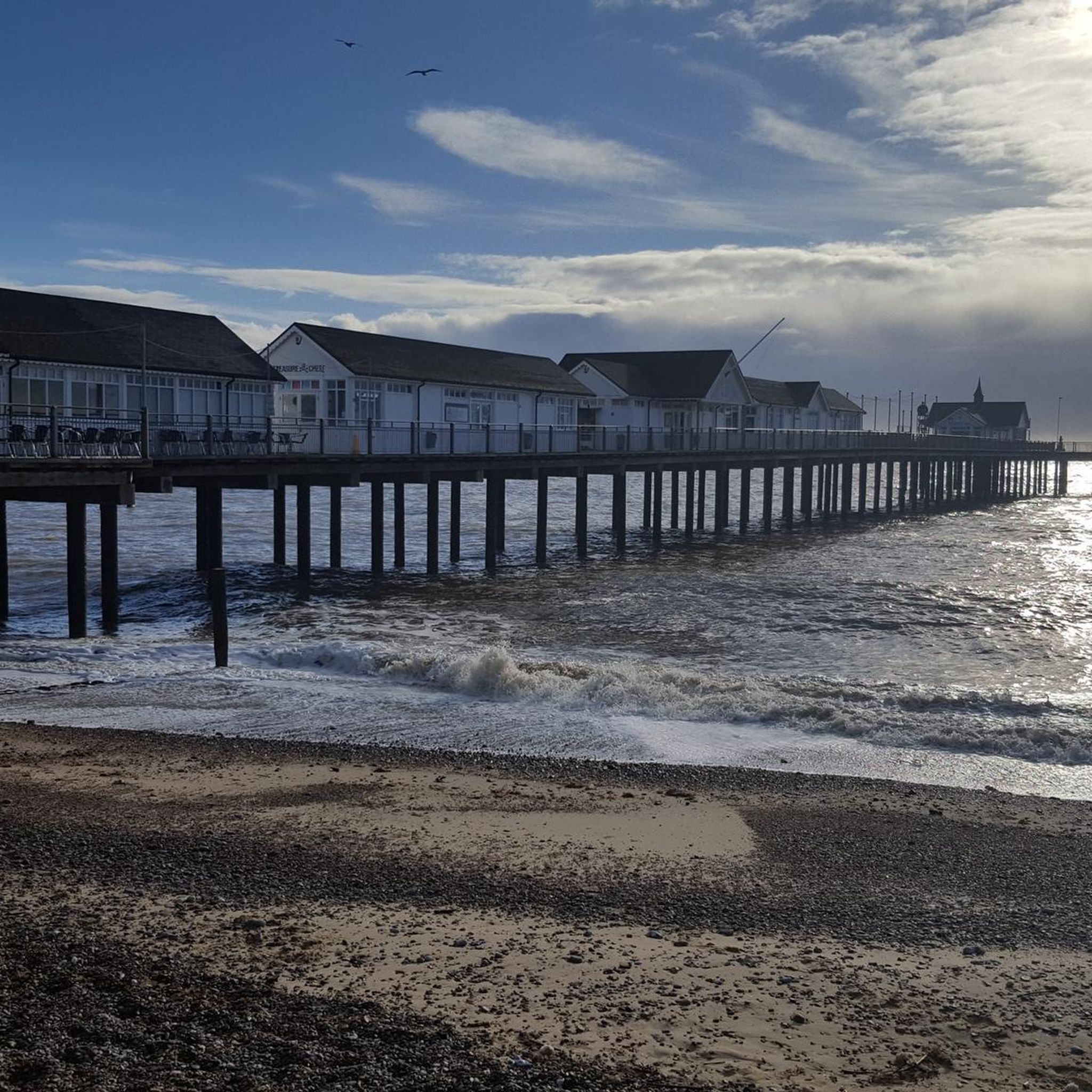
A nice place to sit and watch the sea.
0
0

Quintessential traditional country pub, in a lovely village setting with a nice pub garden behind and some more seating to the front.
0
0
The front looks towards the harbour and moored cruisers but with a car park in-between. The best views are from the garden to the rear, which looks across the marshes towards Southwold rising beyond.
0
0
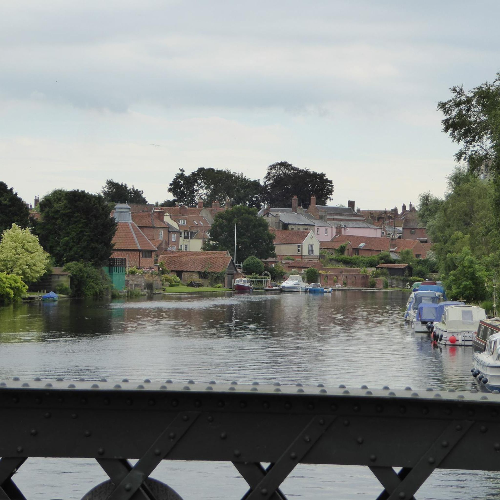
Nice views of the cruisers on the Waveney although the road pinches as it crosses the bridge so you can't stop to admire them.
0
0

Plenty of room behind the pub for bikes. Ghost Ship pale ale is available in an alcohol free option
0
0
Frequently Asked Questions
Are the hiking trails in Waveney suitable for beginners?
Yes, Waveney is very suitable for beginners. The landscape is characterized by gentle countryside and relatively flat ground. There are over 150 easy hikes in the region, such as the Somerleyton & Angles Way loop, which offer a great introduction to the area's scenery without significant elevation changes.
Can I bring my dog on the walks in Waveney Valley?
Many trails in the Waveney Valley are suitable for walking with dogs, but it's important to be mindful of the local environment. You'll be passing through farmland with livestock and sensitive nature reserves like Carlton Marshes. Always keep your dog on a lead where indicated and ensure they do not disturb wildlife.
Are there any good circular walks?
Yes, Waveney has many excellent circular walks that start and end in the same place. A great option is the Beccles loop of the River Waveney. This moderate trail takes you on a pleasant ramble along the river and through the surrounding countryside before returning you to the town.
What are the trails like for family-friendly hikes?
The region's flat terrain makes it ideal for families. For a dedicated family outing, consider the Beccles Marsh Trail. It offers a substantial walk through the marshes with plenty of opportunities to see wildlife, making it an engaging adventure for all ages.
Are there any long-distance footpaths in the area?
The Waveney Valley is home to two significant long-distance paths. The 93-mile Angles Way follows the River Waveney from Great Yarmouth to Thetford, while the 36-mile Boudicca Way runs from Norwich to Diss. You can hike shorter sections of these trails, such as the Beccles & Angles Way loop, to experience a part of these iconic routes.
What kind of scenery and wildlife can I expect to see?
Walks in Waveney showcase a diverse landscape of tranquil riverbanks, expansive marshes, and quiet woodlands. Key sights include historic landmarks like Bungay Castle, the unique wetlands of Redgrave and Lopham Fen, and coastal marshes. The area is a haven for birdwatchers, with chances to spot marsh harriers, teals, and kingfishers, especially on routes like the River Blyth loop.
Are there any challenging hikes in Waveney?
While most of the terrain is gentle, you can find more challenging hikes by opting for longer distances. For a full day of hiking that combines coastal and forest scenery, the Southwold & Dunwich Beach loop is a difficult-rated trail covering nearly 14 miles (23 km).
Where can I find a good walk with a pub stop?
Many walks are centred around the region's charming market towns, which have excellent pubs. The Walberswick to Blythborough loop is a great choice, as both villages are known for their welcoming pubs where you can enjoy refreshments after your hike through the Suffolk Coast & Heaths area.
What do other hikers say about the trails around Waveney?
The hiking routes around Waveney are highly rated by the komoot community, with an average score of 4.5 stars. Fellow hikers often praise the peaceful waterside paths along the River Waveney, the beautiful coastal scenery, and the well-preserved marshland habitats.
How many hiking trails are there in Waveney?
There are over 280 hiking routes to discover around Waveney. They range from short, easy strolls along the river to challenging long-distance treks, offering plenty of options for every fitness level and interest.
Where can I find good woodland walks?
For a dedicated woodland experience, the Thornham Walks are a popular local choice, offering solid pathways and interesting wooden carvings. Another well-regarded spot is Gunton Wood, which is great for a peaceful walk, though paths can get muddy. Both offer a different character to the region's more common marsh and river trails.
What's the best way to navigate the trails?
All the routes in this guide can be followed using the komoot app on your phone, which provides turn-by-turn voice navigation. You can also download the route for offline use, ensuring you can find your way even without a mobile signal. Many of the main paths, like the Angles Way, are also signposted.
Most popular routes around Waveney
Most popular attractions around Waveney

Get inspired with the komoot mobile app


Didn’t find what you were looking for?
Check out more Hikes throughout Waveney below and find the perfect route in your destination.
Explore more
Browse the best Hikes in other regions.
