The best walks and hikes around Waldneukirchen
4.5
(2699)
18,477
hikers
20
hikes
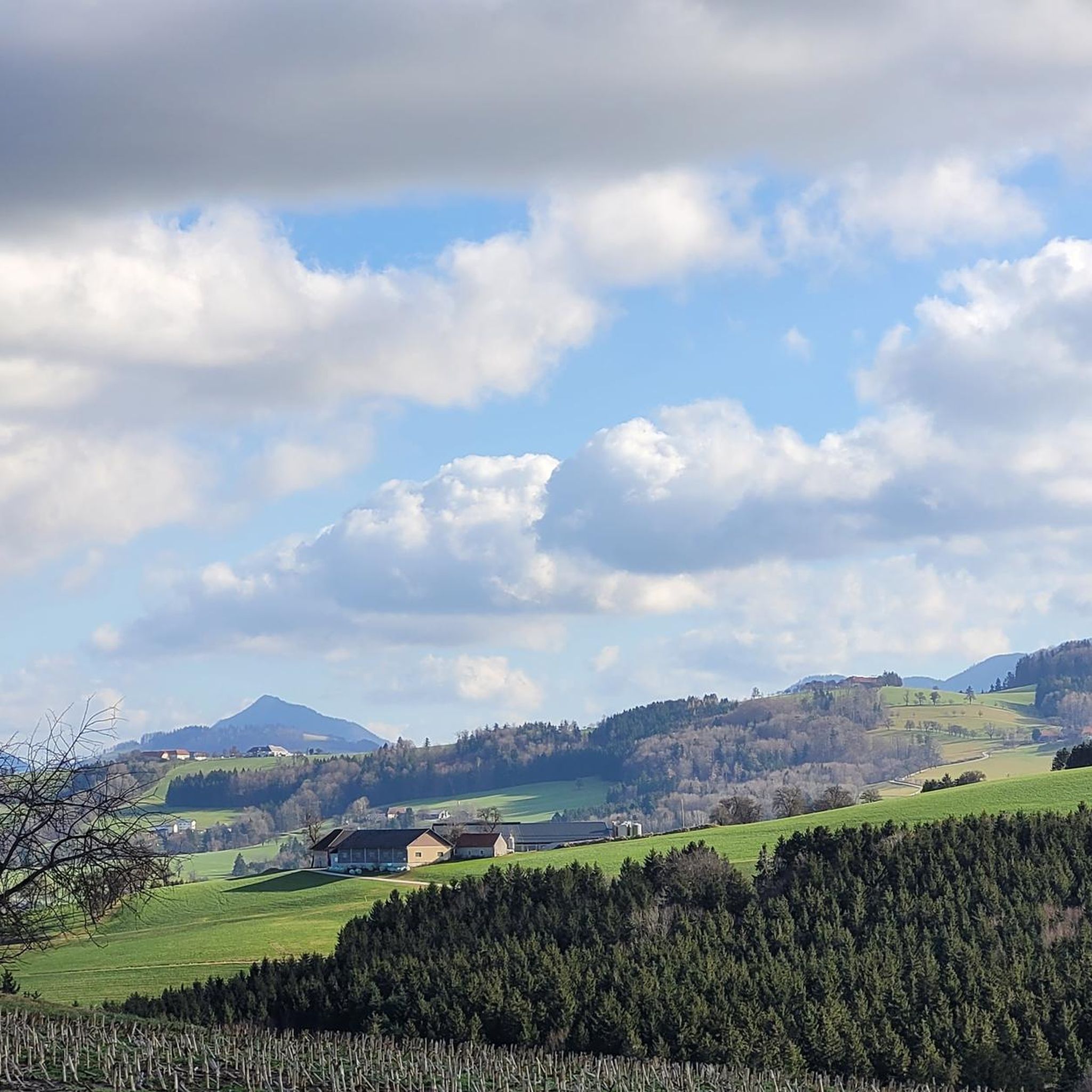
Hiking around Waldneukirchen offers diverse landscapes in Upper Austria, characterized by rolling hills and verdant forests. The region features a picturesque backdrop of undulating terrain, providing varied experiences for outdoor enthusiasts. The River Enns offers a riverside path, while higher elevations provide views of the Alpine foothills.
Best hiking trails around Waldneukirchen
- The most popular hiking route is Forest Nature Trail – Hohe Linde Inn loop from Waldneukirchen, a 6.5 miles (10.5 km) trail that takes about 3 hours…
Last updated: October 4, 2026
5.0
(2)
17
hikers
10.5km
03:00
240m
240m
Moderate hike. Good fitness required. Easily-accessible paths. Suitable for all skill levels.
4.3
(3)
12
hikers
6.54km
01:55
190m
190m
Easy hike. Great for any fitness level. Easily-accessible paths. Suitable for all skill levels.

4.3
(3)
10
hikers
6.23km
01:50
180m
180m
Easy hike. Great for any fitness level. Easily-accessible paths. Suitable for all skill levels.
4.5
(4)
12
hikers
7.63km
02:10
170m
170m
Moderate hike. Good fitness required. Easily-accessible paths. Suitable for all skill levels.
10
hikers
3.33km
00:54
50m
50m
Easy hike. Great for any fitness level. Easily-accessible paths. Suitable for all skill levels.
Get access to more routes and recommendations from other explorers.
Already have an account?
Our route recommendations are based on thousands of hikes, rides, and runs completed by other people on komoot.
Start today with a free account
Your next adventure awaits.

Tips from the Community

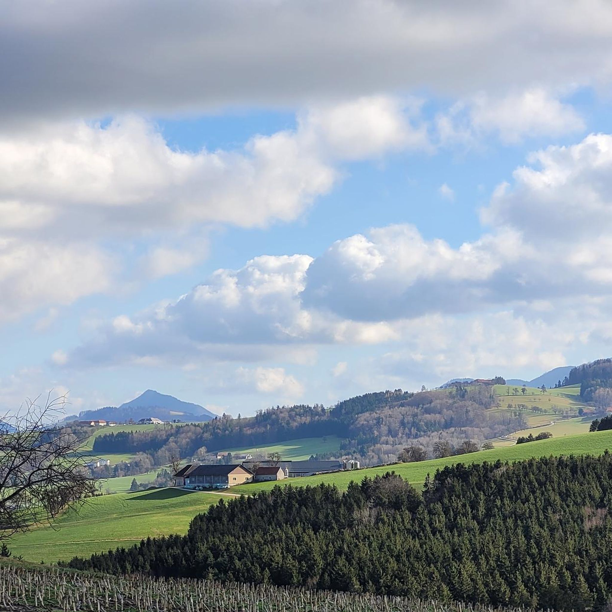
Plate with the names of the mountains in the direction of view.
0
0

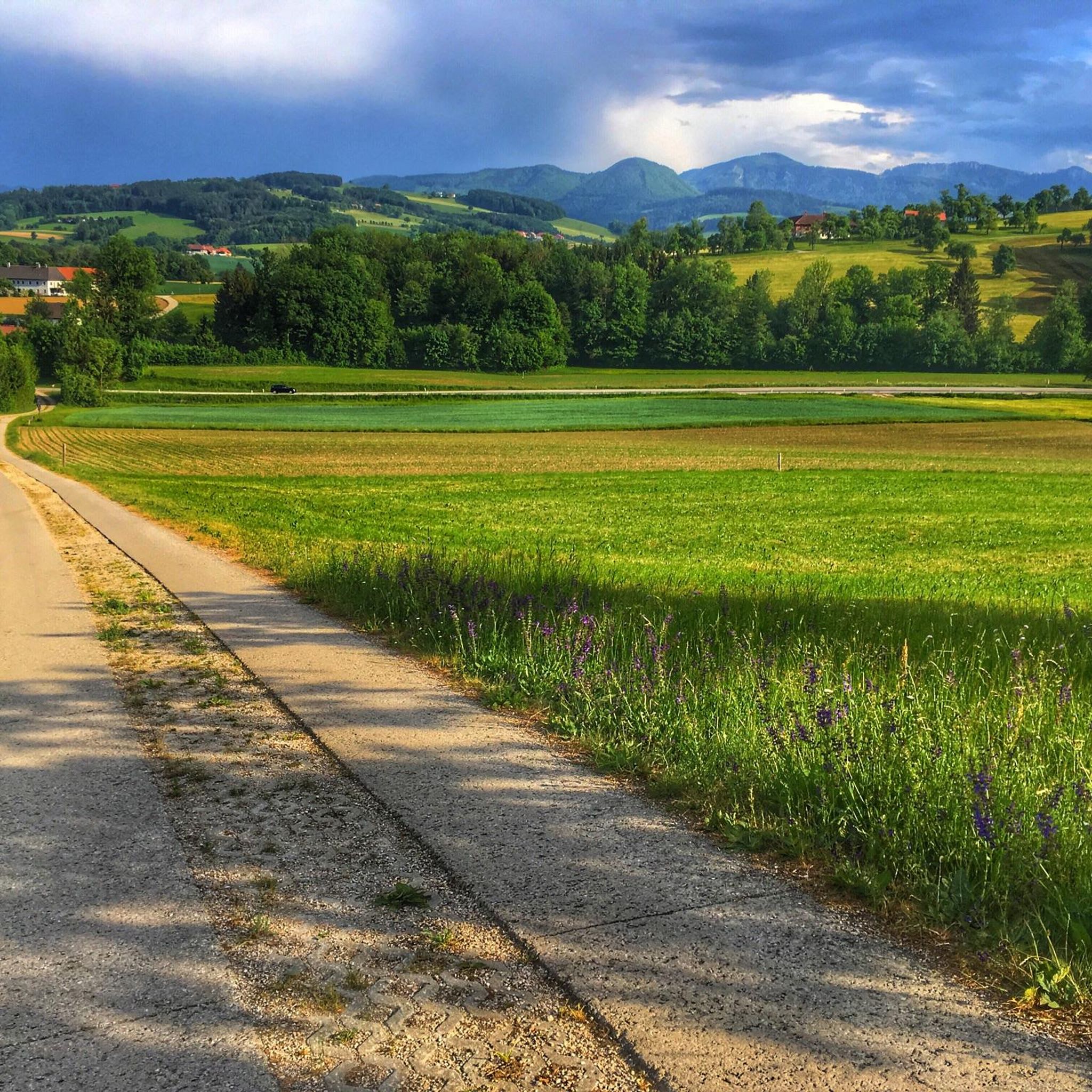
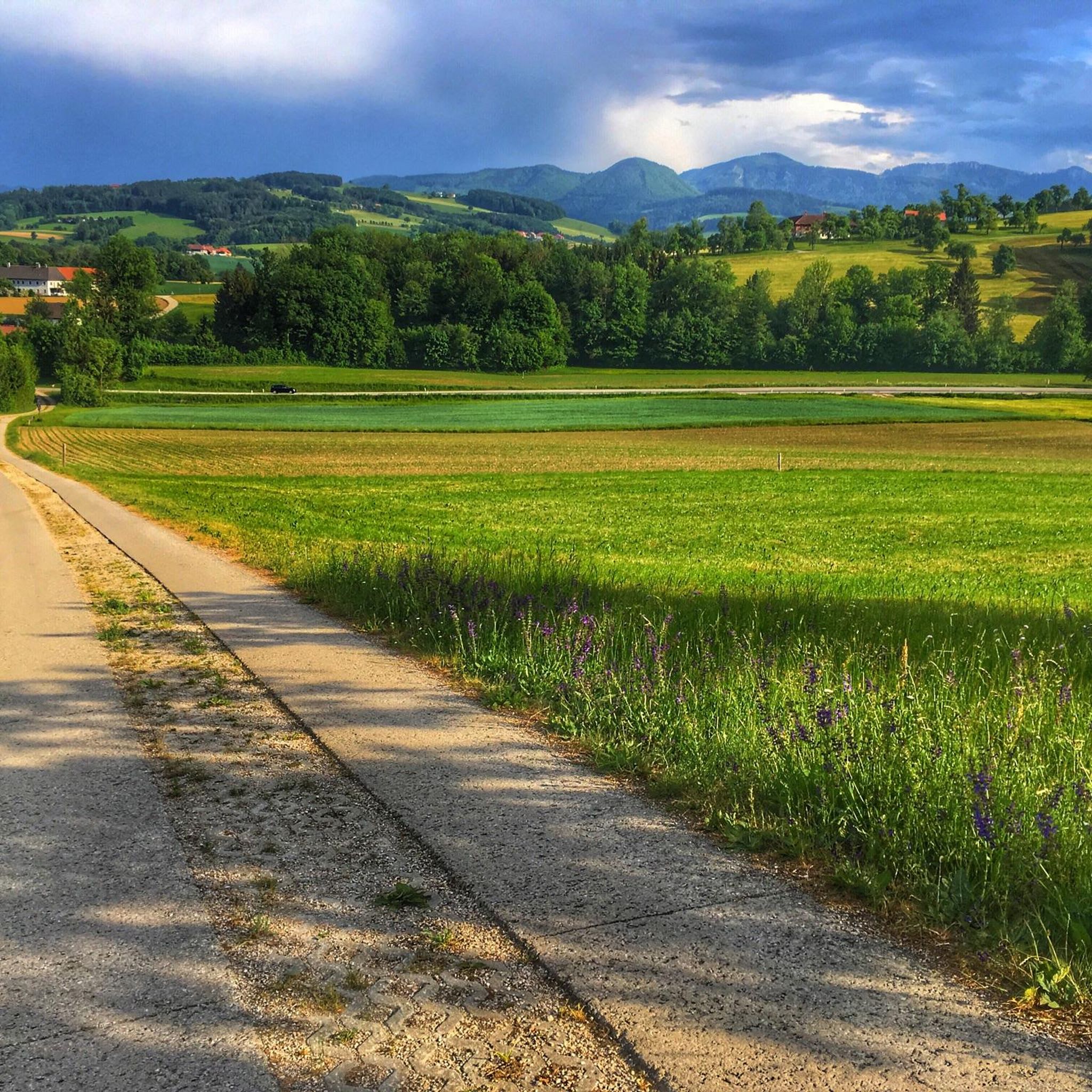
beautifully renovated cross on the way to Waldneukirchen
0
0

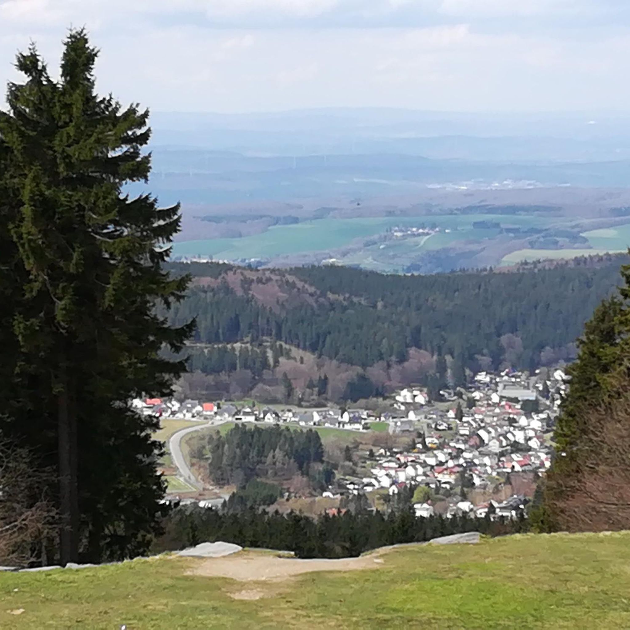
The Hohe Linde is an inn which is highly recommended for hikers and cyclists or only for excursion guests. The view from the beautiful garden is second to none. https://www.badhall.at/oesterreich/gastronomie/100003/zur-hohen-linde.html
0
0
Frequently Asked Questions
How many hiking trails are available around Waldneukirchen?
Waldneukirchen offers a diverse network of over 20 hiking trails. These routes cater to various preferences, including easy strolls, moderate forest paths, and more challenging ascents, all set amidst rolling hills and verdant forests.
What do other hikers enjoy most about the trails in Waldneukirchen?
The hiking trails around Waldneukirchen are highly rated by the komoot community, with an average score of 4.5 stars from over 2,100 reviews. Hikers often praise the picturesque landscapes, including the undulating terrain and lush woodlands, as well as the well-maintained paths that offer views of the Alpine foothills.
Are there easy hiking trails suitable for beginners or families in Waldneukirchen?
Yes, Waldneukirchen offers several easy hiking trails perfect for beginners or families. For example, the Hohe Linde Inn – View from Hohe Linde loop from Waldneukirchen is an easy 4.1-mile (6.5 km) path. The riverside path along the Enns River is also a relaxing option for families seeking a gentle stroll.
Are there any challenging hikes in the Waldneukirchen area?
For those seeking a challenge, the region offers routes with more significant ascents. While not directly in Waldneukirchen, the nearby Kleiner Pyhrgas is a prominent mountain massif offering impressive natural experiences and sweeping views of the Alpine foothills, requiring a good level of fitness and surefootedness. Within the immediate area, there is 1 difficult trail out of the 20 available.
What are the best times of year to go hiking in Waldneukirchen?
Spring and autumn are particularly recommended for hiking in Waldneukirchen. In spring, the landscape is adorned with blossoming plants, while autumn transforms the forests into a colorful spectacle of leaves. The mild climate during these seasons is ideal for extended tours.
Are there any circular hiking routes around Waldneukirchen?
Yes, many routes in Waldneukirchen are designed as circular walks. A popular option is the Forest Nature Trail – Hohe Linde Inn loop from Waldneukirchen, which is 6.5 miles (10.5 km) long and takes about 3 hours to complete, leading through local woodlands.
What natural landmarks or viewpoints can I discover while hiking?
Hikers can discover several natural landmarks and viewpoints. The region offers breathtaking views of the Alpine foothills from higher elevations. Notable highlights include the Großer Landsberg and the Baum Mitten in der Welt Observation Tower. You might also encounter the Dripping Wall or the Fallerbucht Waterfall.
Are there any hiking trails that pass by a pub or inn?
Yes, some trails in the area incorporate local establishments. The Hohe Linde Inn – Waldneukirchen loop from Steinbach an der Steyr is an easy route that passes by the Hohe Linde Inn, offering a convenient stop for refreshments.
Can I reach hiking trails in Waldneukirchen using public transport?
While specific public transport connections to every trailhead can vary, the region is generally accessible. For broader hiking adventures, Waldneukirchen is integrated into significant long-distance hiking networks like the Salzsteig (Long-Distance Hiking Trail 9) and the Rupertiweg 10, which often have connections to public transport hubs in Upper Austria.
Are the hiking trails in Waldneukirchen dog-friendly?
Many trails in the Waldneukirchen region are suitable for dogs, especially the forest paths and riverside walks. It's always recommended to keep dogs on a leash, particularly in nature protection areas or near wildlife, and to check specific trail regulations if available.
How long do hikes near Waldneukirchen typically take?
Hike durations vary depending on the route and your pace. For example, the Forest Nature Trail – Hohe Linde Inn loop from Waldneukirchen typically takes about 3 hours to complete, while the View of Steinbach an der Steyr – Steinbach on the Steyr loop from Grünburg is often completed in about 3 hours and 22 minutes.
Are there any specific attractions or places to explore near the hiking routes?
Beyond the trails, you can explore several attractions. The Grünburger Hut and Schobersteinhaus (1,285 m) offer mountain hut experiences. The Steinbach an der Steyr Riverside and Dam is also a pleasant spot to visit.
Most popular routes around Waldneukirchen
Most popular attractions around Waldneukirchen

Get inspired with the komoot mobile app


Explore more
Browse the best Hikes in other regions.
