The best walks and hikes around Teignbridge
4.5
(3368)
22,401
hikers
965
hikes
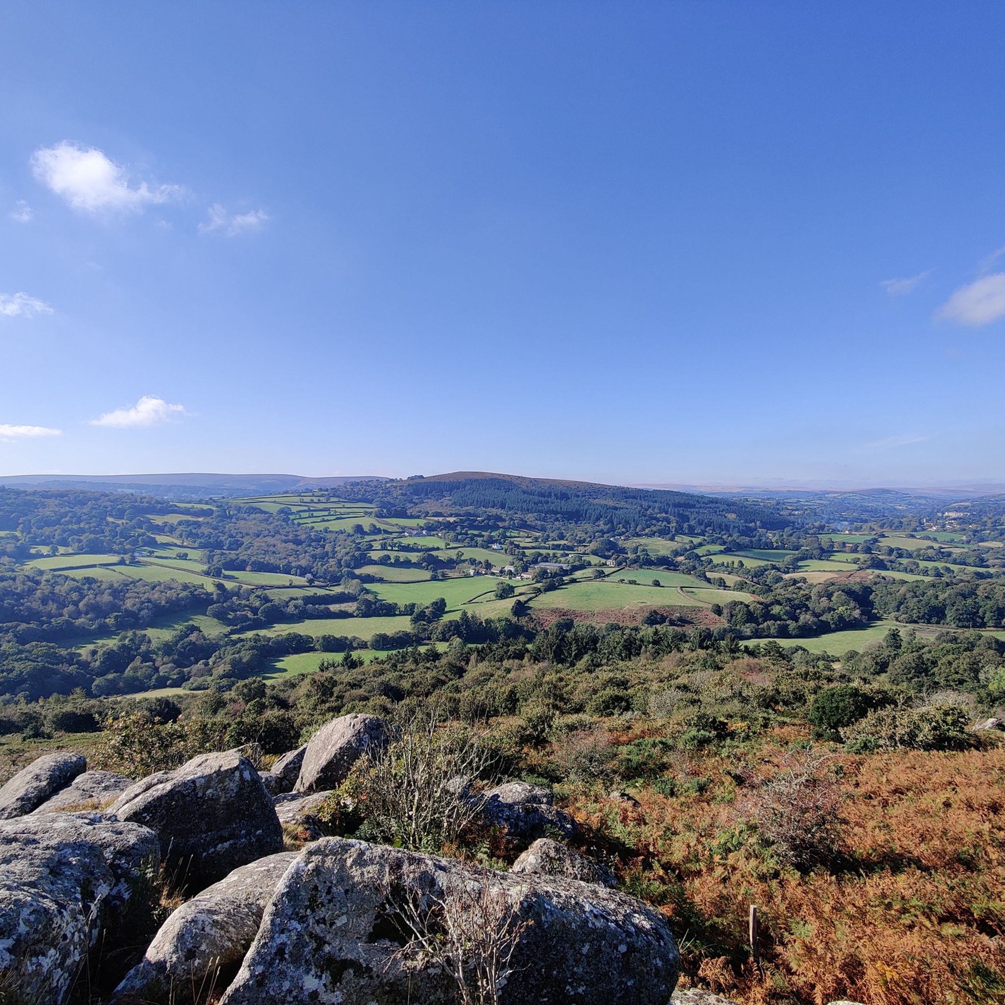
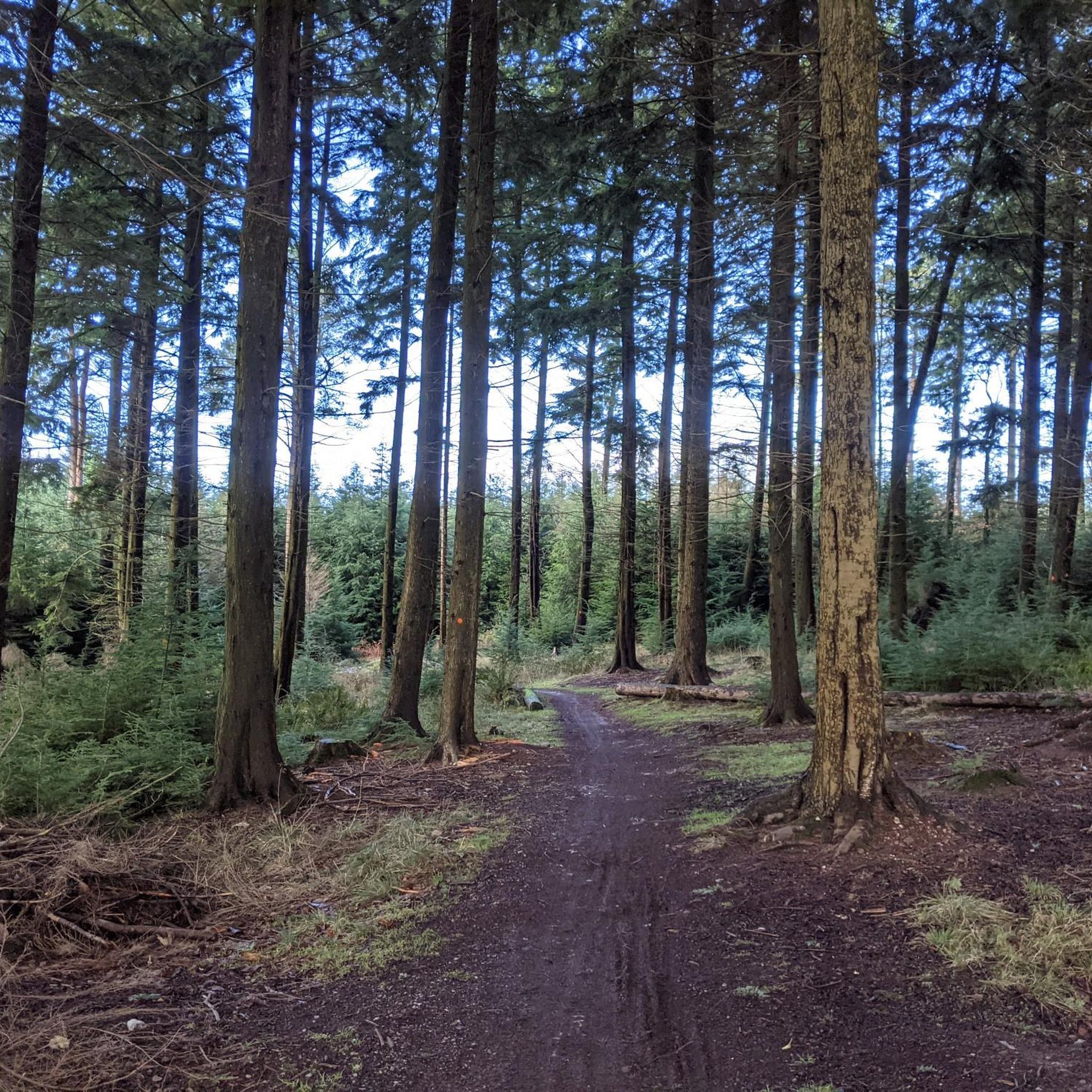
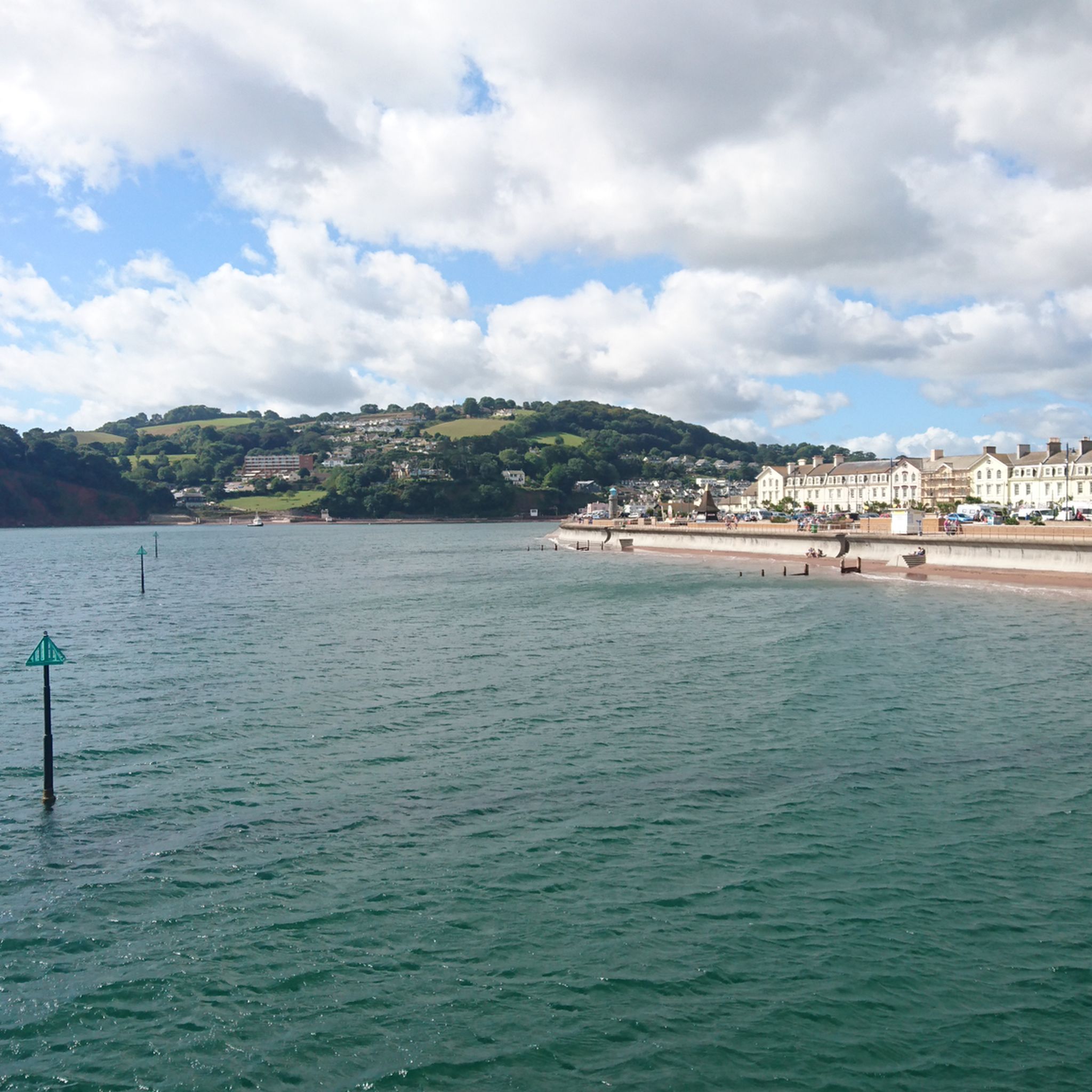
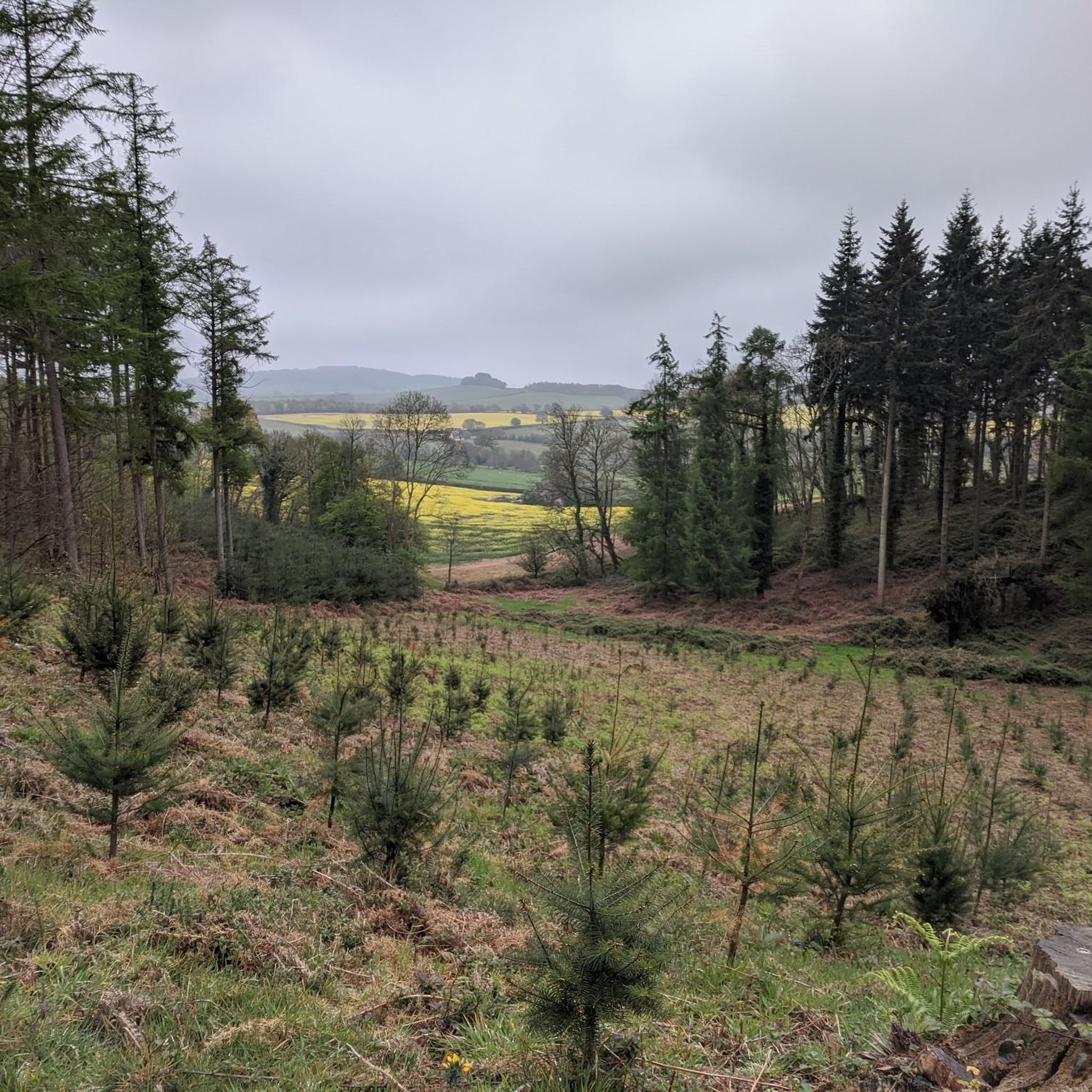
Hiking around Teignbridge presents a varied landscape, encompassing the rugged moorland of Dartmoor National Park, tranquil river valleys, and a picturesque coastline. The region is characterized by extensive forests, such as Haldon Forest Park, and rivers like the Teign and Dart. Hikers can explore a blend of inland and coastal scenery, with elevations ranging from gentle riverside paths to challenging ascents on the moors.
Best hiking trails in Teignbridge
- The most popular hiking route is Castle Drogo via the Fisherman's Path & the Hunter's Path — Dartmoor National Park, a 4.7 miles (7.6 km) trail that takes 2 hours 11 minutes to complete. This route offers views of the Teign Gorge within Dartmoor National Park.
- Another top favourite among local hikers is Dartmeet & Laughter Tor loop, a moderate 7.3 miles (11.7 km) path. This trail features tors, ancient stones, and riverside sections, typically completed in about 3 hours 21 minutes.
- Local hikers also love the Haytor Quarry & Rocks loop via Haytor's Granite Tramway, a 4.0 miles (6.5 km) trail leading through historic granite tramways, often completed in about 1 hour 51 minutes.
- Hiking around Teignbridge is defined by dramatic moorland, serene river valleys, lush forests, and picturesque coastline. The network offers options for various ability levels, from easy woodland strolls to more strenuous moorland treks.
- The routes in Teignbridge are highly rated by the komoot community with an average score of 4.5 stars from more than 2,800 reviews. More than 20,000 hikers have used komoot to explore Teignbridge's varied terrain.
Last updated: October 10, 2026
4.8
(250)
1,437
hikers
Embark on a moderate hike through Dartmoor National Park, covering 4.7 miles (7.6 km) with an elevation gain of 615 feet (188 metres), typically taking 2 hours and 10 minutes. This circular route guides you through the scenic Teign Gorge, where the River Teign flows peacefully. You will encounter mixed terrain, including natural paths and some steep sections as you enter and exit the gorge. Look out for the historic 17th-century Fingle Bridge and the impressive crag of Sharp Tor, which offers expansive views of the gorge and Castle Drogo. The ancient woodlands along the river are home to various birds and Fallow deer, while Dartmoor ponies graze on Piddledown Common. Wildflowers like bluebells and heather add seasonal color to your journey. This trail blends natural beauty with cultural landmarks, making it a popular choice for intermediate walkers. You will navigate both flat and uneven sections, including steep descents and climbs, so proper walking footwear with good support is recommended for potentially muddy or slippery areas. Handrails are present on some steeper parts of the Fisherman's Path to assist you. This trail is particularly notable for combining stunning natural landscapes with significant historical elements. You will explore the Teign Gorge and the River Teign, and pass by Castle Drogo, often called England's last castle, designed by Sir Edwin Lutyens. The route also incorporates a section of the Two Moors Way, adding to its regional significance. It is highly regarded as one of the UK's top scenic hiking routes, offering a rich experience for those interested in both local history and the natural splendor of Dartmoor.
4.8
(153)
488
hikers
7.71km
02:18
240m
240m
The Holwell Tor & Smallacombe Rocks loop in Dartmoor National Park offers a moderate hiking experience, covering 4.8 miles (7.7 km) with an elevation gain of 795 feet (242 metres), typically taking around 2 hours and 18 minutes to complete. You will hike through a diverse landscape of open moorland, ancient woodlands, and past historical features. From Holwell Tor, you can enjoy excellent views of the Becka Brook Valley and the surrounding countryside. The trail includes exposed moorland sections, particularly around the tors, and descends into moss-covered woodlands. Be prepared for varied paths, as some sections may be indistinct, and the path from Smallacombe Rocks can be steep and narrow. You may also cross Becka Brook, sometimes via a small clapper bridge.
The provided research does not offer specific details on trailhead access, parking, public transport, permits, fees, or seasonal closures for this particular loop. However, Dartmoor National Park is generally accessible, and you should check local resources for current conditions and parking options before your visit. The trail is considered moderate, so ensure you have good fitness and sure-footedness for the varied paths. Late spring is a particularly good time to visit, as Holwell Lawn, near Holwell Tor, is known for its extraordinary bluebell displays. Always start your hike with enough daylight to complete the 2-hour and 18-minute duration comfortably.
This loop is rich in history and unique geological features. You will walk along sections of the disused Haytor Tramway, built in 1820 with granite rails, offering a glimpse into industrial heritage. Holwell Tor and Smallacombe Rocks are distinctive granite outcrops; Holwell Tor has a flattish summit with great views, while Smallacombe Rocks occupies a large area with an assortment of boulders. Smallacombe Rocks also holds archaeological importance, featuring evidence of a small Bronze Age settlement with hut circles. The varied habitats of moorland, ancient woodland, and streams mean you might even spot wild Dartmoor ponies during your hike.

4.7
(150)
515
hikers
11.7km
03:22
280m
280m
Embark on the Dartmeet & Laughter Tor loop, a moderate hike that guides you through the varied landscapes of Dartmoor. This route spans 7.3 miles (11.7 km) and involves an elevation gain of 917 feet (279 metres), typically taking around 3 hours and 21 minutes to complete. You will experience tranquil riverside paths along the River Dart, traverse expansive open moorland, and wander through charming woodlands, offering a diverse and engaging outdoor experience.
When planning your visit, be aware that parts of the Dartmoor terrain can become quite boggy, especially after rainfall. The stepping stones across the river may also be challenging or even impassable if water levels are high, so always exercise caution and prepare for potentially wet conditions. Parking is generally available at Dartmeet, which serves as the convenient starting point for this loop.
This trail is rich with ancient history, featuring remarkable landmarks like the Laughter Man Standing Stone near Laughter Tor, a significant Bronze Age menhir. You will also encounter multiple traditional clapper bridges as you hike. The route provides commanding views of the East Dart valley and the surrounding Dartmoor tors, making it a picturesque journey through a historically resonant landscape.
4.7
(58)
226
hikers
10.6km
03:05
270m
270m
Moderate hike. Good fitness required. Easily-accessible paths. Suitable for all skill levels.
4.6
(51)
187
hikers
8.24km
02:25
220m
220m
Moderate hike. Good fitness required. Mostly accessible paths. Sure-footedness required.
4.5
(36)
131
hikers
9.85km
02:51
250m
250m
Hike a moderate 6.1-mile (9.8 km) loop in Dartmoor National Park, exploring Venford Reservoir, the River Dart, and Holne Moor.
4.5
(22)
58
hikers
6.45km
01:51
160m
160m
Hike the easy 4.0-mile Haytor Quarry & Rocks loop in Dartmoor National Park, exploring historic granite tramways and panoramic views.
4.6
(39)
106
hikers
7.27km
02:11
230m
230m
Moderate hike. Good fitness required. Mostly accessible paths. Sure-footedness required.
4.6
(5)
67
hikers
6.51km
01:39
10m
10m
Easy hike. Great for any fitness level. Easily-accessible paths. Suitable for all skill levels.
4.3
(12)
61
hikers
10.6km
02:50
130m
130m
Hike a moderate 6.6-mile route around Kennick, Trenchford & Tottiford Reservoirs in Dartmoor National Park, enjoying tranquil waterside view
Get access to more routes and recommendations from other explorers.
Already have an account?
Our route recommendations are based on thousands of hikes, rides, and runs completed by other people on komoot.
Start today with a free account
Your next adventure awaits.
Other adventures around Teignbridge


Tips from the Community

Beautiful view of the famous Langstone Rock.
0
0

If the car park is full, drive all the way to the top of the hill to park and then walk through the woods back to the river.
0
0

Perfect spot for a wild swim, busy on the weekend
0
0

Had an incredible swim here in July 2026. Word of warning - we followed a Komoot loop from Venford which led us on an "easy route" steeply down to Sharrah Pool then out along the river to the north west of the pool. That latter section was no longer a path. It involves a scrabble up a very steep bank. Our group was up for this, but those expecting "easy" - be warned!
0
0

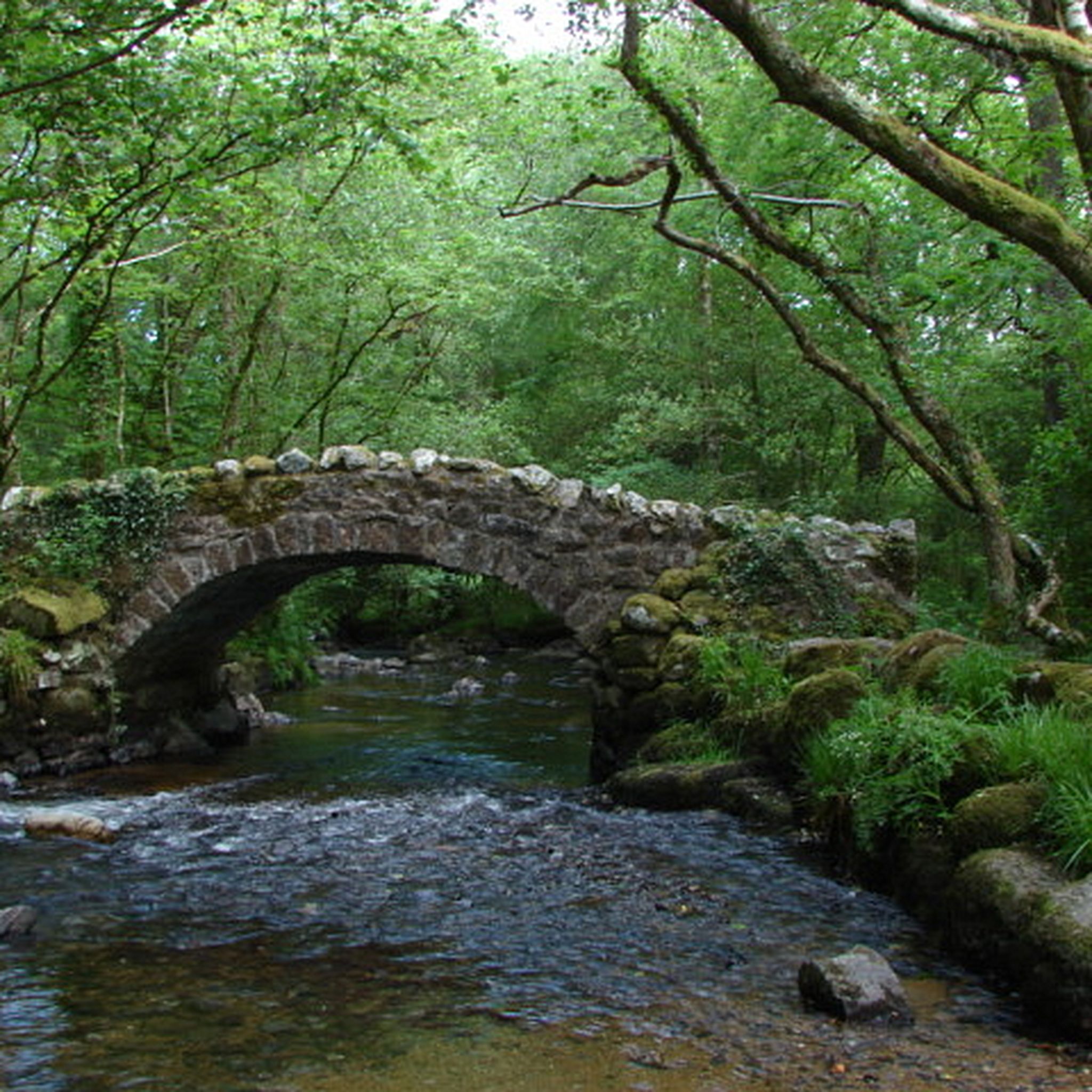
Simple stone bridge, fits well with the rest!
0
0
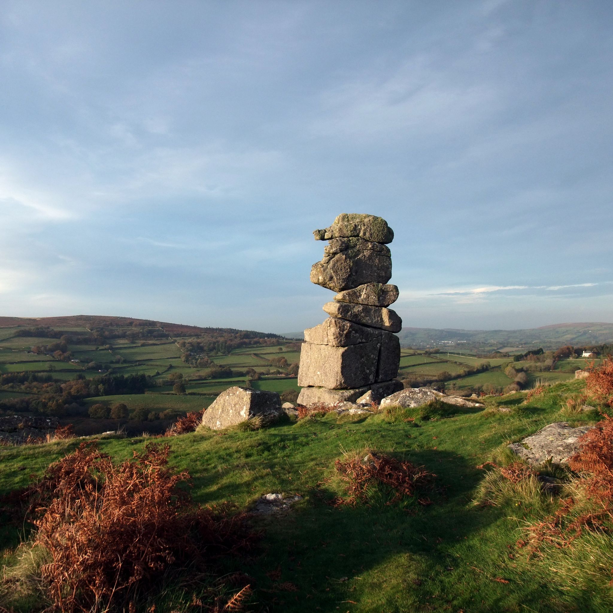
Hunters Tor on Dartmoor – overview and practical guide Notes on the feature Name variants: Hunters Tor (also found in some guides as “Hunters’ Tor” or “Hunters Tor” with occasional apostrophe usage). It is one of the granite tors you’ll encounter on the eastern Dartmoor plateau. Location context: Situated on the eastern Dartmoor moor, in the general area between Widecombe-in-the-Moor and the higher moorland to the north and east. It’s often visited as part of longer routes from classic eastern Dartmoor starting points. What to expect Elevation and geology: A granite tor typical of Dartmoor—weathered outcrops with rough boulder features and exposed granite. Provides a vantage point to survey surrounding moorland. Scenery: Wide moorland views with horizon lines; potential for good visibility across East Dartmoor on clear days. Getting there Access points: Likely starting points include car parks and laybys near the eastern moor, with access from roads serving Widecombe-in-the-Moor, Ashburton, or Two Bridges. Public transport: Buses to nearby villages with a short walk onto the moor; check current timetables. Parking: Local parking areas around the eastern moorland; follow local signage and
0
0
Frequently Asked Questions
How many hiking trails are available in Teignbridge?
Teignbridge offers a vast network of nearly 1,000 hiking trails. These routes cater to all abilities, from easy woodland strolls to more challenging moorland treks across diverse landscapes.
What do other hikers enjoy most about Teignbridge?
The hiking routes in Teignbridge are highly rated by the komoot community, with an average score of 4.5 stars from over 2,800 reviews. Hikers frequently praise the region's varied terrain, from dramatic moorland to serene river valleys and picturesque coastlines, and the well-maintained paths that make exploration enjoyable.
Are there any family-friendly hiking trails in Teignbridge?
Yes, Teignbridge has many family-friendly options. For an easy walk exploring historic granite tramways and panoramic views, consider the Haytor Quarry & Rocks loop via Haytor's Granite Tramway. Haldon Forest Park also offers a network of trails suitable for all ages and abilities, including easy woodland strolls.
Can I bring my dog on hikes in Teignbridge?
Many trails in Teignbridge are dog-friendly, especially those within Dartmoor National Park and Haldon Forest Park. However, it's always best to keep dogs on a lead, particularly around livestock or ground-nesting birds, and to check specific trail regulations before you go. The Dartmeet & Laughter Tor loop is a popular choice for hikers with dogs, offering open moorland and riverside sections.
Are there circular walking routes available in Teignbridge?
Yes, Teignbridge features numerous circular walks. A notable moderate option is the Venford Reservoir, River Dart & Holne loop, which offers diverse scenery. Another popular choice is the Holwell Tor & Smallacombe Rocks loop in Dartmoor National Park.
Where can I find trails with impressive viewpoints in Teignbridge?
Teignbridge offers many trails with rewarding views. Peaks like Rippon Tor and Haytor Rocks on Dartmoor provide panoramic vistas. The iconic Castle Drogo via the Fisherman's Path & the Hunter's Path offers breathtaking views from the Hunters Path above the River Teign.
Are there any waterfalls to see while hiking in Teignbridge?
Yes, Teignbridge is home to Canonteign Falls, England's highest waterfall, nestled within lush woodlands. While not directly on a komoot route in this guide, it's a significant natural attraction in the region worth exploring.
What kind of landscapes can I expect to see on a hike in Teignbridge?
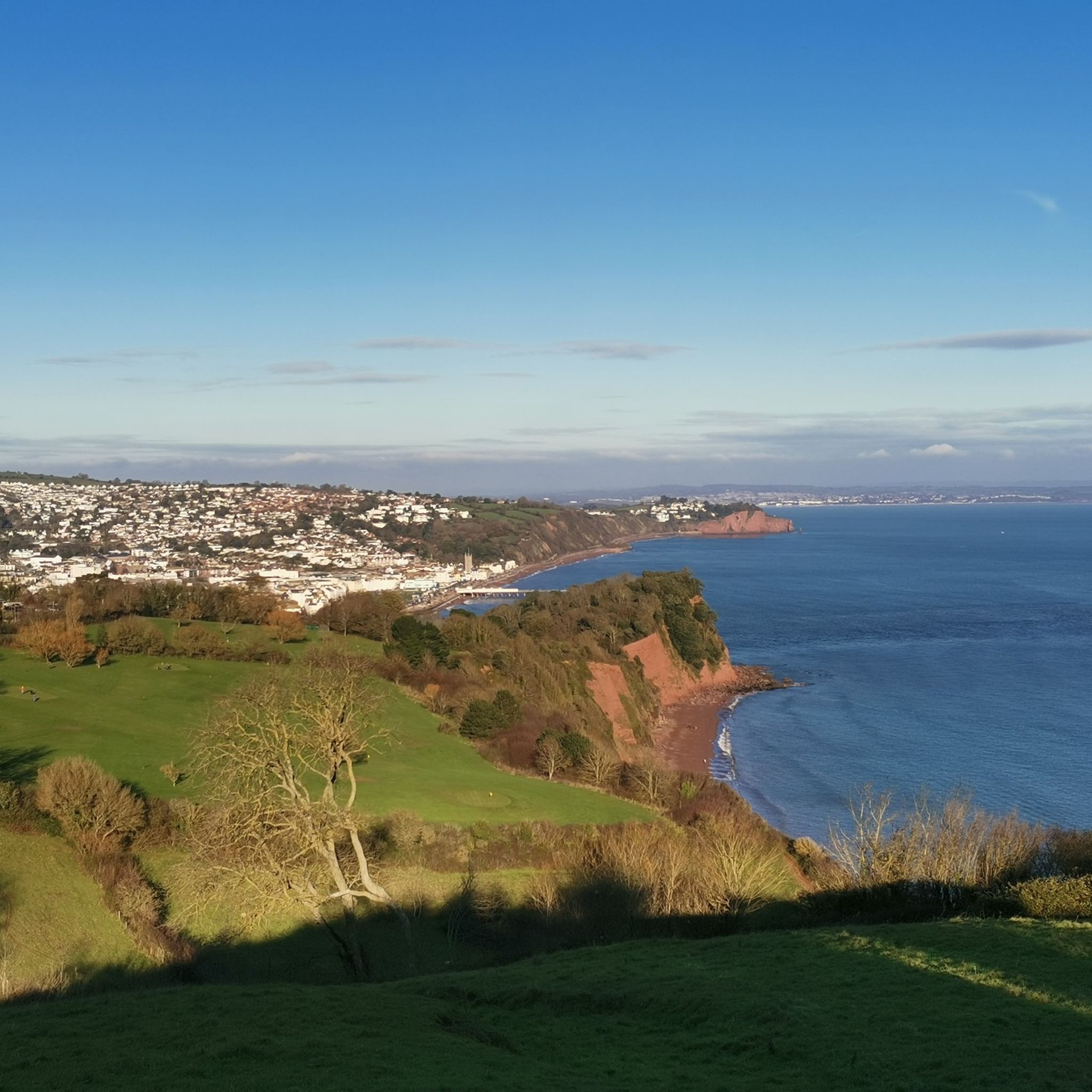
Teignbridge boasts a remarkably diverse landscape. You can expect to encounter rugged moorland within Dartmoor National Park, tranquil river valleys carved by the Teign and Dart, extensive forests like Haldon Forest Park, and picturesque coastal scenery along the South West Coast Path near Teignmouth.
Are there any interesting landmarks or natural monuments around Teignbridge?
Absolutely. Teignbridge is rich in natural landmarks. You can explore iconic granite formations like Haytor Rocks and Hound Tor. The region also features serene bodies of water such as Kennick Reservoir and the Haytor Quarry Pond with Water Lilies.
Are there opportunities for wild swimming near hiking trails in Teignbridge?
While specific wild swimming spots are not detailed on komoot routes, the region's numerous river valleys, particularly those of the Teign and Dart, and tranquil lakes like Kennick Reservoir, offer potential opportunities. Always exercise caution and check local regulations before attempting wild swimming.
Are there any easy trails suitable for beginners or a relaxed walk?
Yes, Teignbridge offers several easy trails. The Haytor Quarry & Rocks loop via Haytor's Granite Tramway is an easy 4-mile walk. Additionally, the Dawlish Warren nature reserve loop provides a gentle coastal walk with minimal elevation gain.
Can I access hiking trails in Teignbridge using public transport?
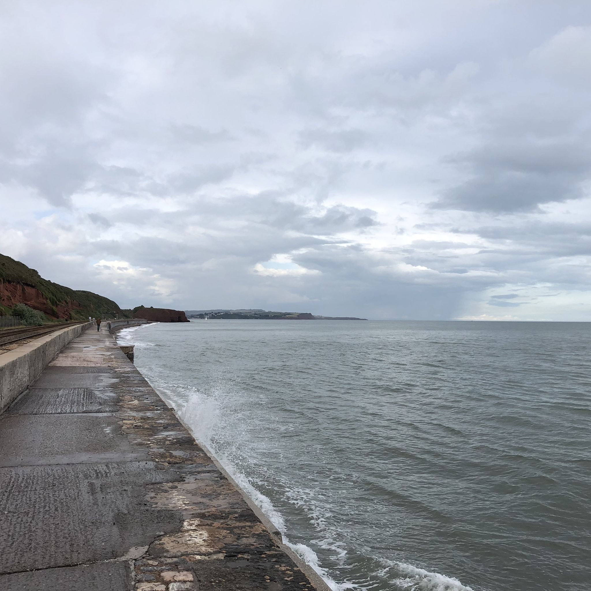
Many areas within Teignbridge, especially those closer to towns like Teignmouth, Dawlish, and Newton Abbot, are accessible by public transport. For trails deeper within Dartmoor National Park, public transport options may be more limited, and checking local bus services or planning for parking is advisable. The walk from Teignmouth to Dawlish along the South Devon Railway Sea Wall is directly accessible by train.
Are there any trails that combine both moorland and coastal scenery?
Yes, the historic Templer Way is an 18-mile trail that follows an old tramway route from Haytor on Dartmoor to Teignmouth on the coast, offering a unique blend of moorland and coastal landscapes. While a longer route, sections can be walked to experience both environments.
Most popular routes around Teignbridge
Most popular attractions around Teignbridge

Get inspired with the komoot mobile app


Didn’t find what you were looking for?
Check out more Hikes throughout Teignbridge below and find the perfect route in your destination.
Explore more
Browse the best Hikes in other regions.
