The best road cycling routes around Eisenerz
3.9
(19)
489
riders
13
rides
Road cycling around Eisenerz, located in Styria, Austria, offers diverse terrain ranging from challenging mountain passes to scenic lake loops. The region is characterized by the imposing Erzberg, the picturesque Leopoldsteinersee, and the surrounding Eisenerzer Alps, providing a dramatic backdrop for rides. Cyclists can expect well-paved roads that traverse varying elevations, catering to different fitness levels. This area combines natural beauty with historical significance, often passing through the historic town center.
Best road cycling routes around Eisenerz
- The most popular…
Last updated: October 5, 2026
4.8
(12)
144
riders
83.9km
04:10
1,280m
1,280m
Hard road ride. Very good fitness required. Mostly well-paved surfaces and easy to ride.
5.0
(2)
60
riders
Moderate road ride. Good fitness required. Some segments of this route may be unpaved and difficult to ride.

50
riders
108km
05:01
1,330m
1,330m
Hard road ride. Very good fitness required. Mostly well-paved surfaces and easy to ride.
28
riders
85.7km
04:12
1,250m
1,250m
Hard road ride. Very good fitness required. Mostly well-paved surfaces and easy to ride.
4.0
(1)
32
riders
40.9km
02:03
540m
540m
Moderate road ride. Good fitness required. Mostly well-paved surfaces and easy to ride.
Get access to more routes and recommendations from other explorers.
Already have an account?
Our route recommendations are based on thousands of hikes, rides, and runs completed by other people on komoot.
Start today with a free account
Your next adventure awaits.
Popular around Eisenerz

North Alpine Trail 01 – Hike across Austria in 49 days
The BergZeitReise – a beautiful long-distance hiking trail across Styria
BergZeitReise – from glacier to wine in high Styria

Discover Styria in Austria on foot – ‘From Glacier to Wine’ North Route
Endless hiking experiences in Styria
The most beautiful hikes for your summer in Styria
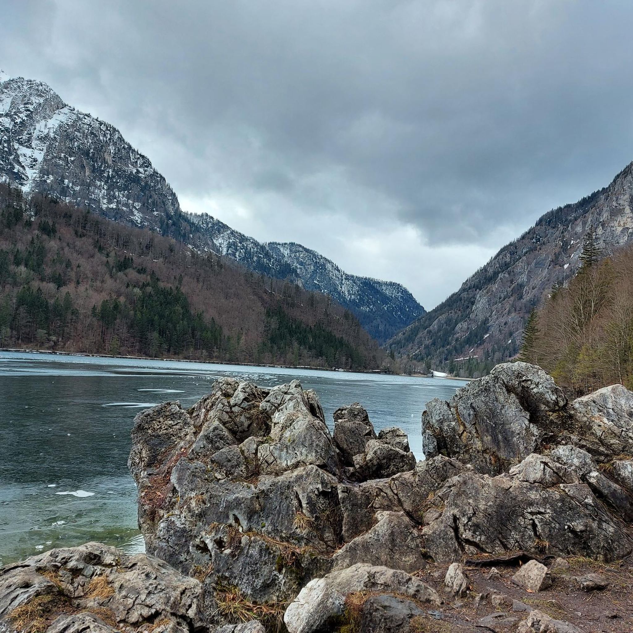
Hiking around Eisenerz
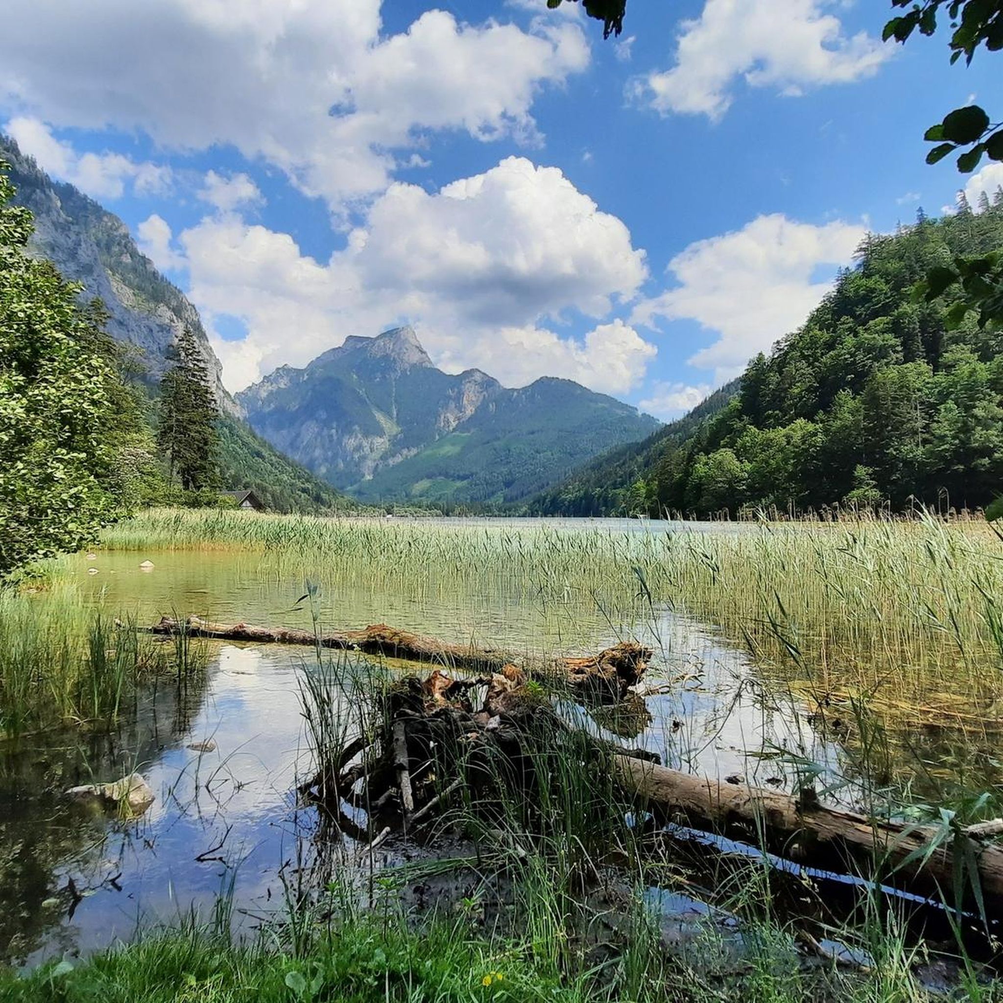
Cycling around Eisenerz
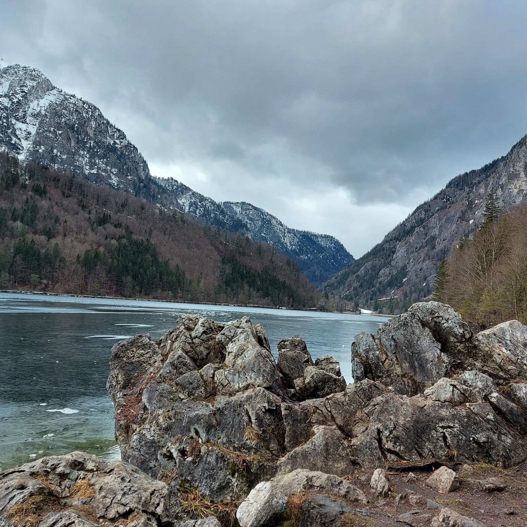
MTB Trails around Eisenerz

Mountain Hikes around Eisenerz
Other adventures around Eisenerz


Tips from the Community

As of 2026: The parking lot at Buchauer Sattel costs (day ticket) €7. There is a parking machine. This only accepts coins or card payment is also possible.
0
0

It's not by chance that one ends up in Wildalpen... However, whoever undertakes the drive along the federal road 24 north of the Hochschwab group will be richly rewarded. Nestled in one of Austria's most extensive nature reserves lies the municipality of Wildalpen – cozy and friendly. Seclusion in a cozy and unpretentious area. There is plenty of peace and space here! https://www.wildalpen.gv.at/index.php
0
0
The Styrian Salza is the longest undeveloped, (55 km) year-round navigable river in Central Europe. On sunny days, the Salza sparkles emerald green and has drinking water quality. The different difficulty levels on the whitewater river offer water lovers of all skill levels a unique experience! Whether rafting, kayaking, riverbugging, outside, canyoning, canoeing, SUP.
0
0
Anyone who undertakes the drive along the Bundesstraße 24 north of the Hochschwab group will be richly rewarded. Nestled in one of Austria's most extensive nature reserves lies the municipality of Wildalpen – comfortable and hospitable. Seclusion in a cozy and casual area. There is plenty of peace and space here!
0
0


Starting point for hikes to the Grabneralm, the Admonter Haus, the Grabnerstein, and the Admonter Warte. Parking is subject to a fee, currently €7 for a day ticket. Public restrooms and self-service refreshments are available.
1
0

Leoben's Old Town is a charming and historic district located in the Mur River loop, offering a variety of sights and impressive town houses. Here are some interesting aspects of the Old Town: 1. Main Square: - The elongated Main Square has been the heart of Leoben since its settlement in the 13th century. - It was redesigned in 1997 and is a popular meeting place for locals and tourists. 2. Historic Buildings: - The Old Town is known for its historic alleys and listed buildings, which reflect the city's history. - Of particular note are the Old Town Hall and the former Dominican Monastery. 3. Sights: - The city offers numerous sights, including the Gösser Beer Brewery, known for its brewing tradition. - A **Old Town Walk** is an excellent way to explore the city's beauty and history. 4. **Cultural Events**: - The Old Town regularly hosts **cultural events** and festivals that enrich community life and attract visitors. 5. **Nature and Surroundings**: - The Old Town is surrounded by picturesque countryside, inviting visitors to stroll and explore. Leoben's Old Town is a fascinating destination that combines history, culture, and a vibrant atmosphere.
1
0

Frequently Asked Questions
What kind of terrain can I expect on road cycling routes around Eisenerz?
The region offers a diverse range of terrain, from challenging climbs through mountainous passes in the Eisenerzer Alps to more leisurely rides around picturesque lakes like the Leopoldsteinersee. You'll find well-paved roads that traverse varying elevations, catering to different fitness levels. Many routes feature crisp climbs and offer extensive views.
Are there road cycling routes suitable for beginners or those looking for an easier ride?
While Eisenerz is known for its challenging terrain, there are moderate options available. For instance, the Leopoldsteiner See loop from Radmer is a moderate route that can be enjoyed by various fitness levels, offering scenic views with manageable elevation changes. The region has 5 moderate routes out of 13 total road cycling tours.
Where can I find challenging road cycling routes in the Eisenerz area?
Eisenerz is ideal for ambitious cyclists seeking a challenge. Routes like the Buchauer Sattel – Stunning Alpine panorama loop from Radmer, a difficult 83.9 km trail with significant elevation gain, offer expansive Alpine views and a demanding experience. Another difficult option is the At the Gaflenzbach – Hollenstein an der Ybbs loop from Hieflau, which covers 108 km through river valleys and challenging terrain. Overall, 8 out of 13 road cycling routes in the area are classified as difficult.
What natural features and landmarks can I see along the road cycling routes?
Road cycling routes around Eisenerz often feature stunning natural beauty and historical landmarks. You can expect to see the unique terraced Erzberg, an active open-pit mine, and the deep blue Leopoldsteinersee. The routes are set against the dramatic backdrop of the Eisenerzer Alps, with views extending to the Gesäuse mountains and Hochschwab. Some tours also pass through the historic town center of Eisenerz. Notable highlights include the Gesäuse natural monument and various mountain passes like Rösselhals.
Are there any circular road cycling routes around Eisenerz?
Yes, many of the road cycling routes around Eisenerz are designed as loops, offering a complete scenic experience. Examples include the challenging Buchauer Sattel – Stunning Alpine panorama loop from Radmer and the moderate Präbichl (East Side) – Leoben loop from Zur Hirnalm. These circular routes allow you to start and finish in the same location, making planning easier.
What is the best time of year for road cycling in Eisenerz?
The region is best enjoyed for road cycling during the warmer months, typically from late spring through early autumn. This period offers more stable weather conditions, clear roads, and the full beauty of the Alpine landscapes. Always check local weather forecasts before heading out, especially for routes involving higher elevations.
Are there options for family-friendly road cycling in Eisenerz?
While many routes in Eisenerz feature significant elevation, some sections or shorter loops around areas like the Leopoldsteinersee can be more suitable for families or those seeking a less strenuous ride. The region offers a mix of experiences, so it's best to check the difficulty and elevation profiles of individual routes to find one that matches your family's ability.
How do other road cyclists rate the routes in Eisenerz?
The road cycling routes in Eisenerz are highly regarded by the komoot community, with an average score of 4.9 stars from over 10 reviews. More than 400 road cyclists have used komoot to explore the varied terrain, often praising the stunning Alpine panoramas, challenging climbs, and the unique combination of natural beauty with historical significance.
Can I connect to other major cycling paths from Eisenerz?
Yes, the Iron Road Cycle Route R 38 connects Eisenerz with other significant cycling paths in Austria, such as the Enns Cycle Route R7 and the Mur Cycle Route R2. This provides excellent opportunities for longer, interconnected tours and exploring a wider region beyond Eisenerz.
What are some of the highest peaks or summits visible from the road cycling routes?
As you cycle through the Eisenerz region, you'll be surrounded by impressive mountain ranges. You can often see peaks from the Eisenerzer Alps, Gesäuse, Hochschwab, and parts of the Niedere Tauern. Specific summits in the area include the Eisenerzer Reichenstein summit, Hochturm Summit, and Kaiserschild Summit, offering majestic backdrops to your ride.
Are there any specific road cycling routes that pass through the historic town center of Eisenerz?
Many tours around Eisenerz combine natural beauty with cultural highlights, sometimes even passing through the historic town center. This allows cyclists to experience the town's ancient buildings and rich mining history, adding a cultural dimension to their ride. Specific route details would indicate if they directly traverse the town center.
Most popular attractions around Eisenerz

Get inspired with the komoot mobile app


Explore more
Browse the best Road cycling routes in other regions.
