The best running trails around Eden
4.4
(122)
12,613
runners
778
runs
Jogging around Eden offers diverse landscapes, from the fells of the Lake District National Park to the valleys of the North Pennines. The region is characterized by challenging ascents, scenic tarns, and expansive moorland. Runners can expect varied terrain, including rocky paths and well-maintained trails, providing a range of experiences.
Best jogging routes around Eden
- The most popular jogging route is Aira Force & Gowbarrow Fell loop — Lake District National Park, a 4.3 miles (6.9 km) trail that…
Last updated: September 26, 2026
4.5
(4)
188
runners
6.90km
00:59
310m
310m
Prepare for a challenging jogging experience on the Aira Force & Gowbarrow Fell loop, a difficult 4.3-mile (6.9 km) route with a significant 1003 feet (306 metres) of elevation gain,…
99
runners
7.15km
01:22
590m
590m
Embark on a difficult jogging route that takes you up Blencathra, covering 4.4 miles (7.2 km) with a significant 1926 feet (587 metres) of elevation gain. This challenging loop is…

5.0
(1)
40
runners
Hard run. Very good fitness required. Sure-footedness, sturdy shoes and alpine experience required.
59
runners
Hard run. Very good fitness required. Mostly accessible paths. Some sure footedness required.
3.0
(1)
38
runners
15.5km
01:55
440m
440m
Hard run. Very good fitness required. Mostly accessible paths. Some sure footedness required.
3.0
(1)
41
runners
14.5km
01:43
380m
380m
Jog this difficult 9.0-mile (14.5 km) loop from Dufton to experience the dramatic High Cup Nick and panoramic views in the North Pennines.
32
runners
Hard run. Very good fitness required. Sure-footedness, sturdy shoes and alpine experience required.
4.0
(1)
28
runners
Hard run. Very good fitness required. Sure-footedness, sturdy shoes and alpine experience required.
5.0
(1)
20
runners
7.23km
01:01
270m
270m
Moderate run. Good fitness required. Mostly accessible paths. Some sure footedness required.
7
runners
21.1km
02:47
750m
750m
This difficult 13.1-mile jogging loop from Skirwith takes you to Cross Fell Summit and Wildboar Scar, offering wild views of the North Penni
Get access to more routes and recommendations from other explorers.
Already have an account?
Our route recommendations are based on thousands of hikes, rides, and runs completed by other people on komoot.
Start today with a free account
Your next adventure awaits.
Popular around Eden
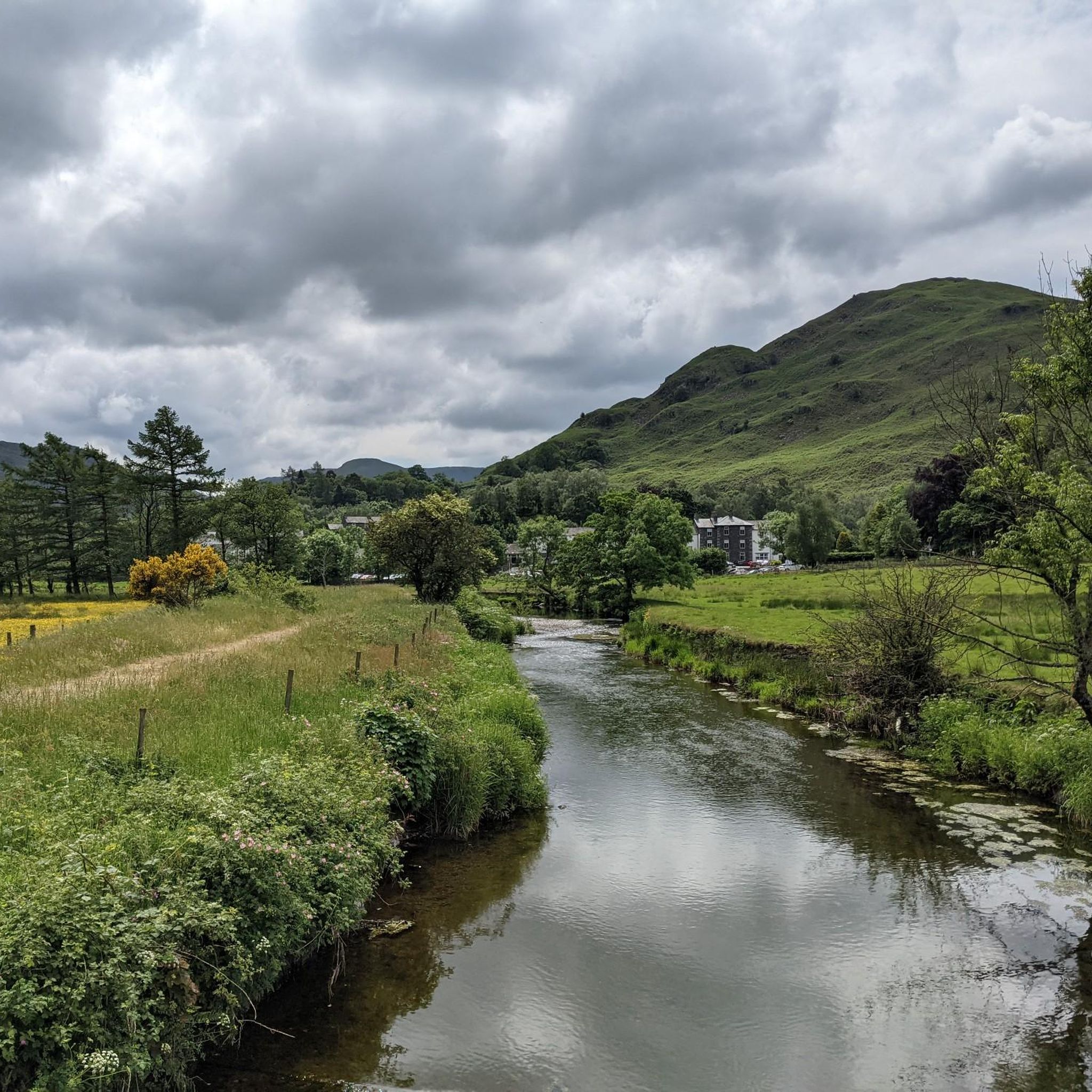
Running Trails around Patterdale
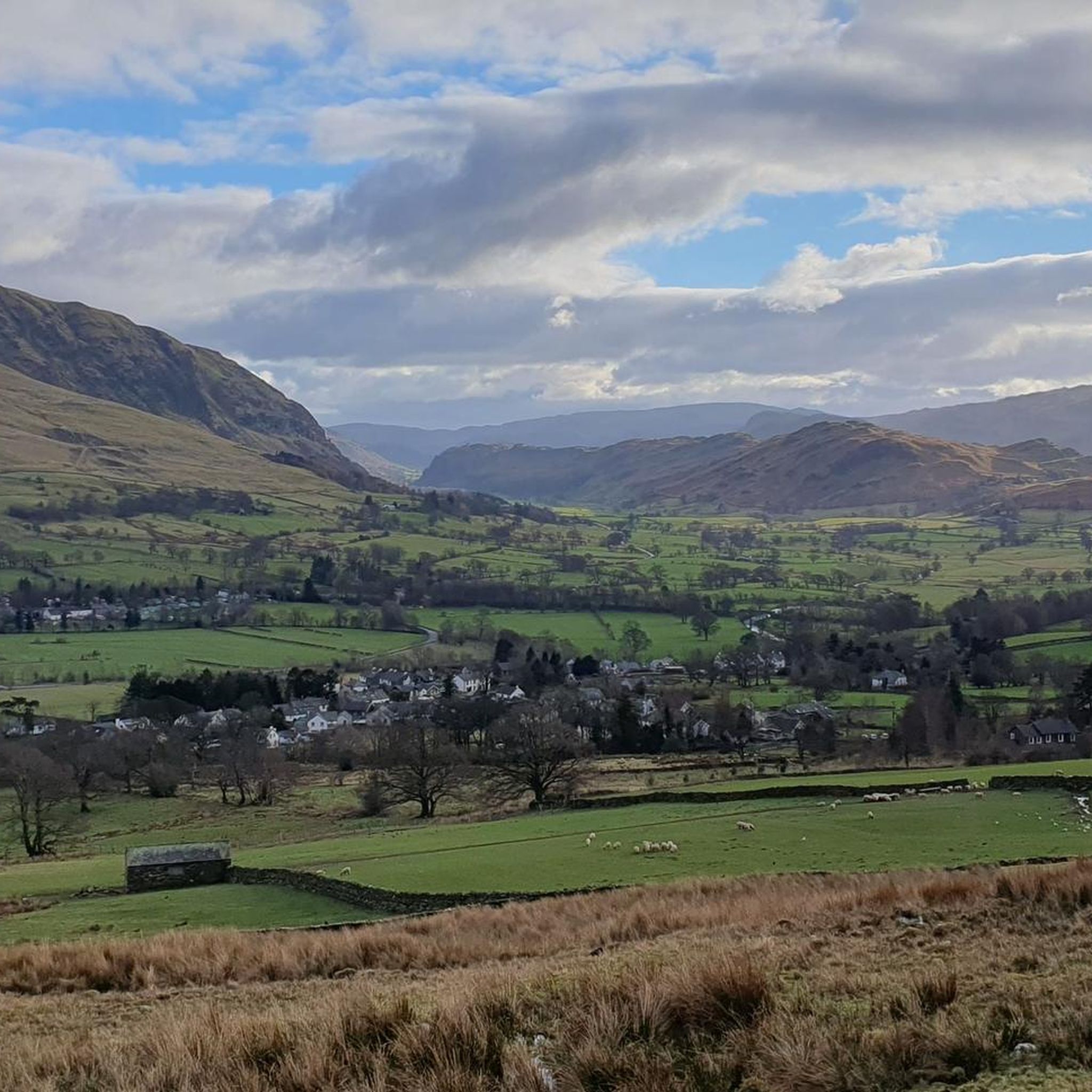
Running Trails around Threlkeld
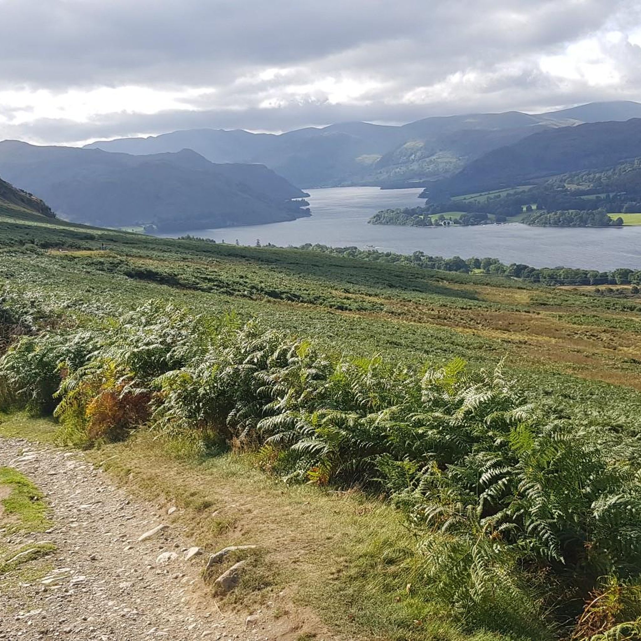
Running Trails around Barton
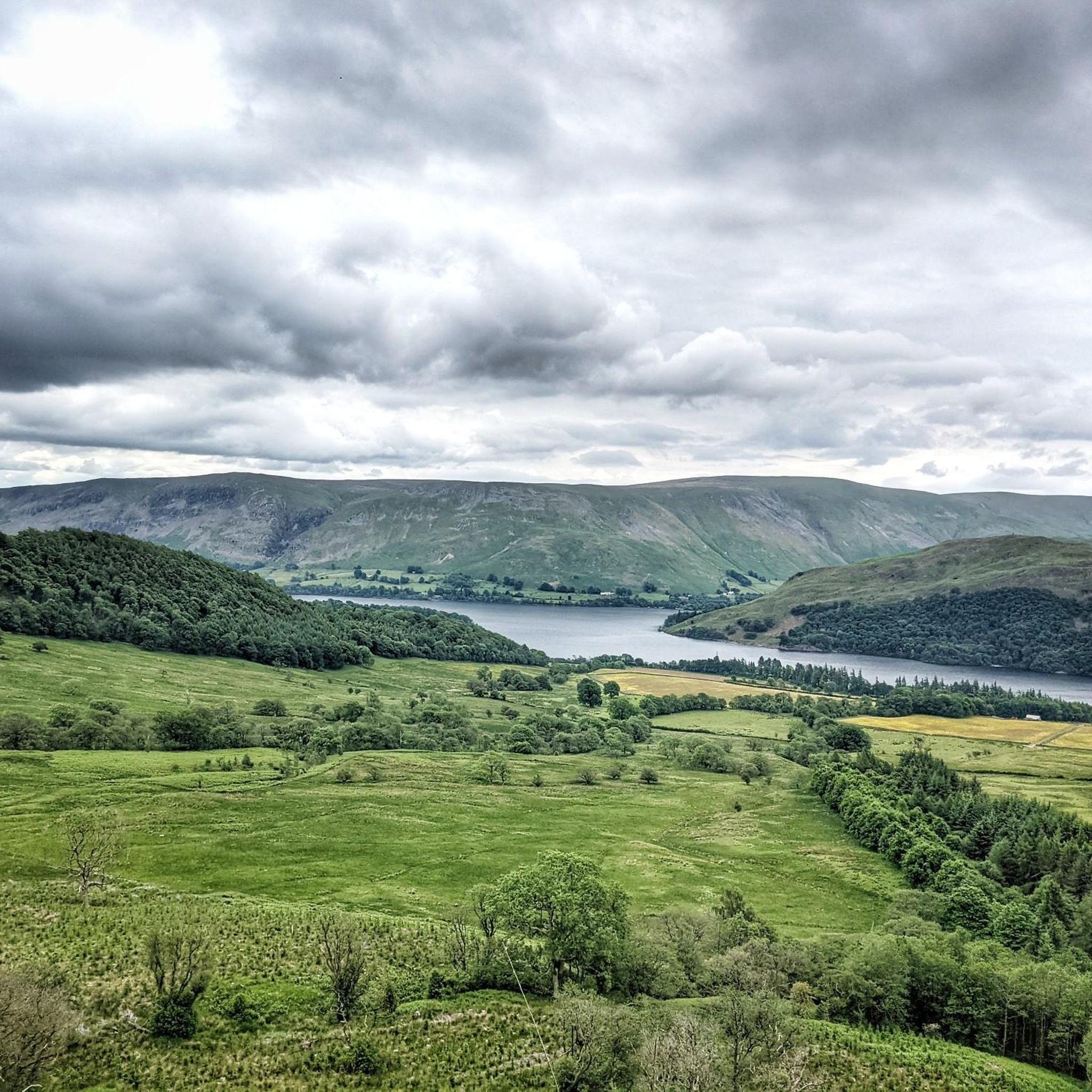
Running Trails around Matterdale
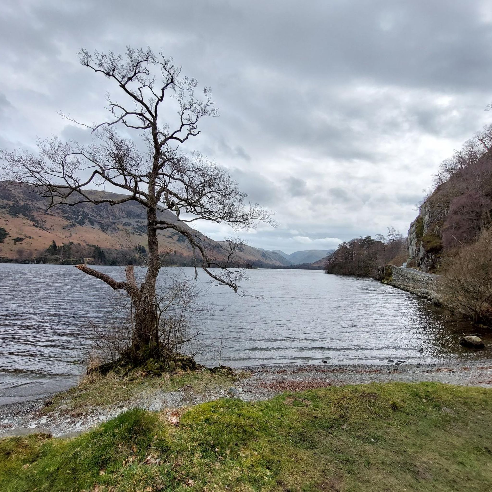
Running Trails around Ullswater
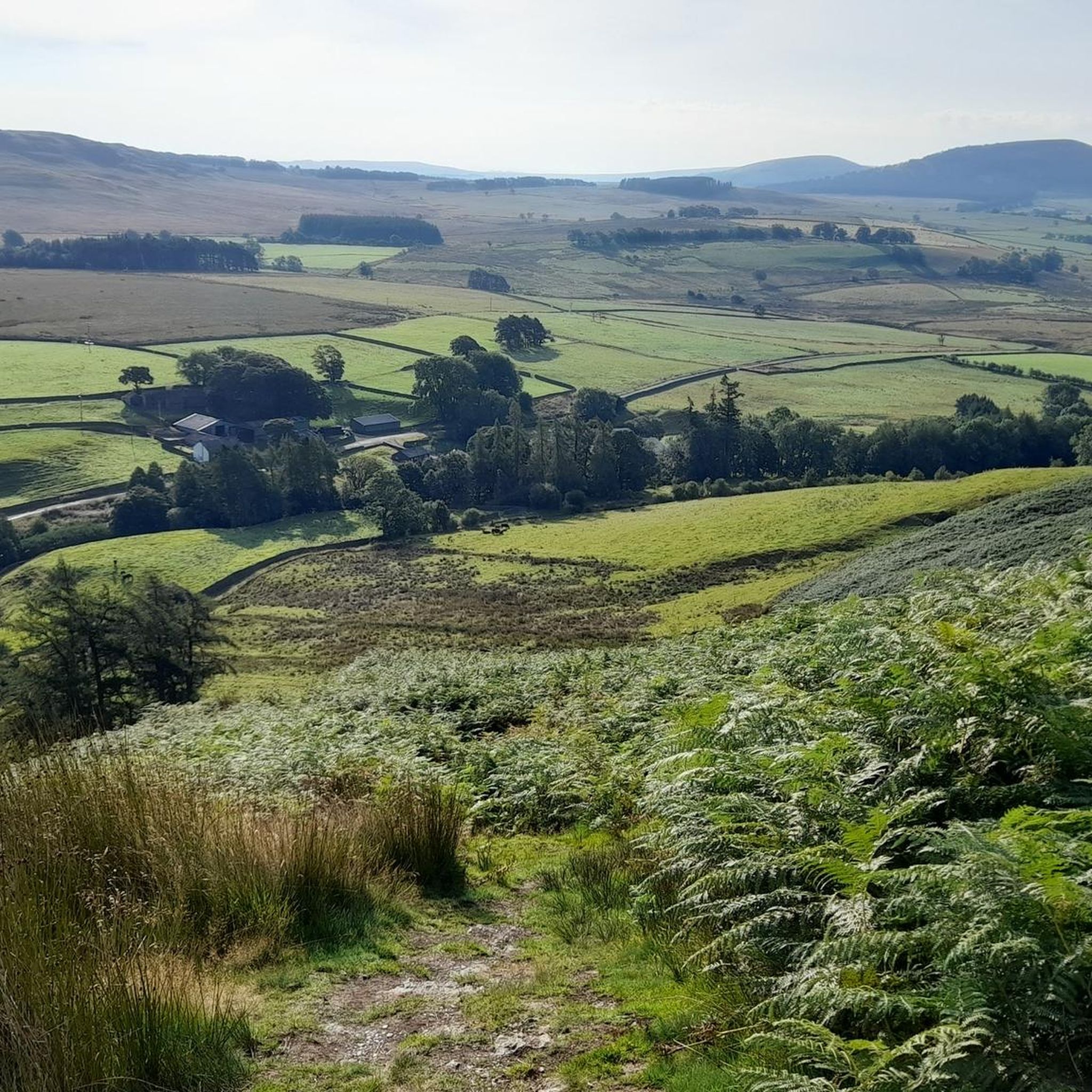
Running Trails around Mungrisdale
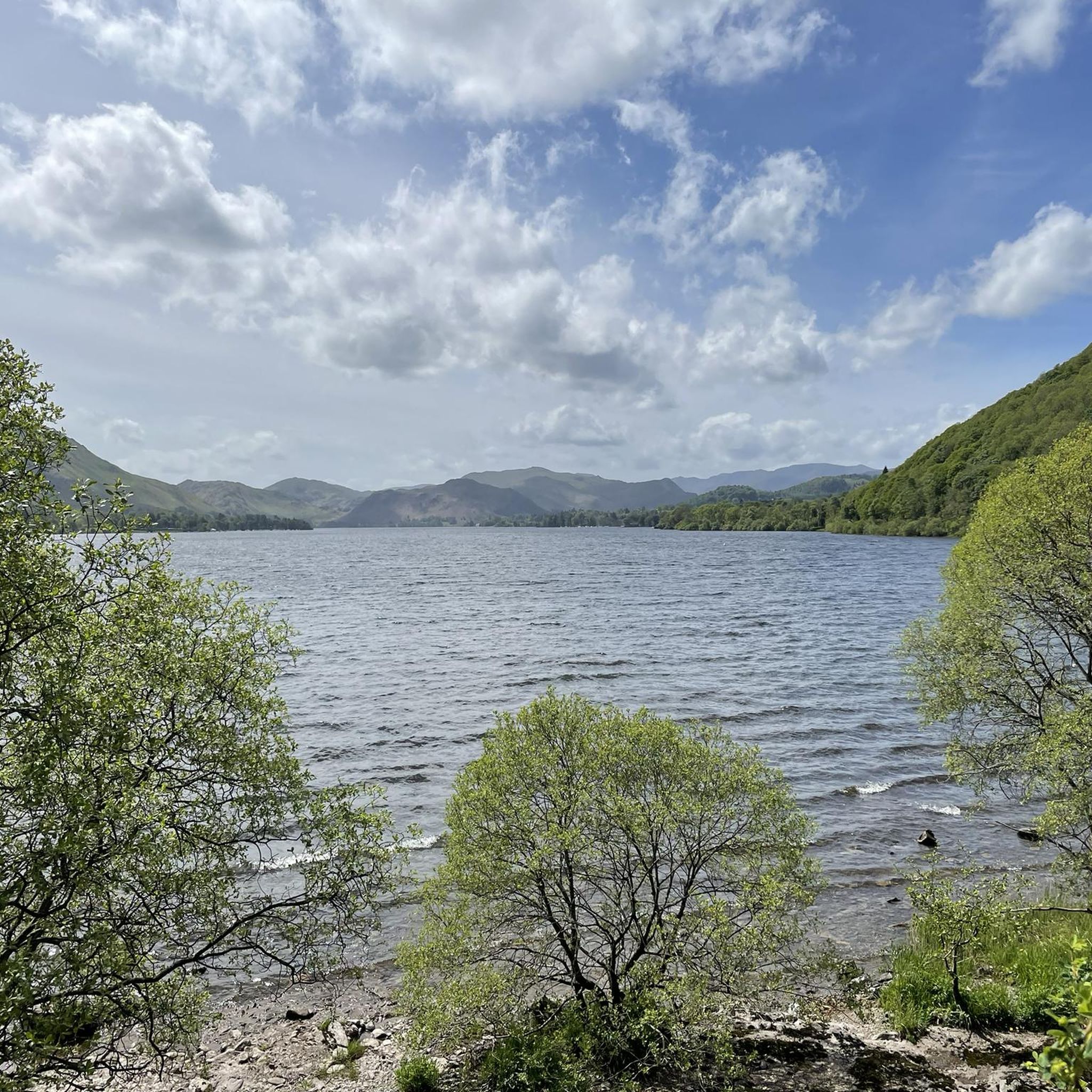
Running Trails around Dacre
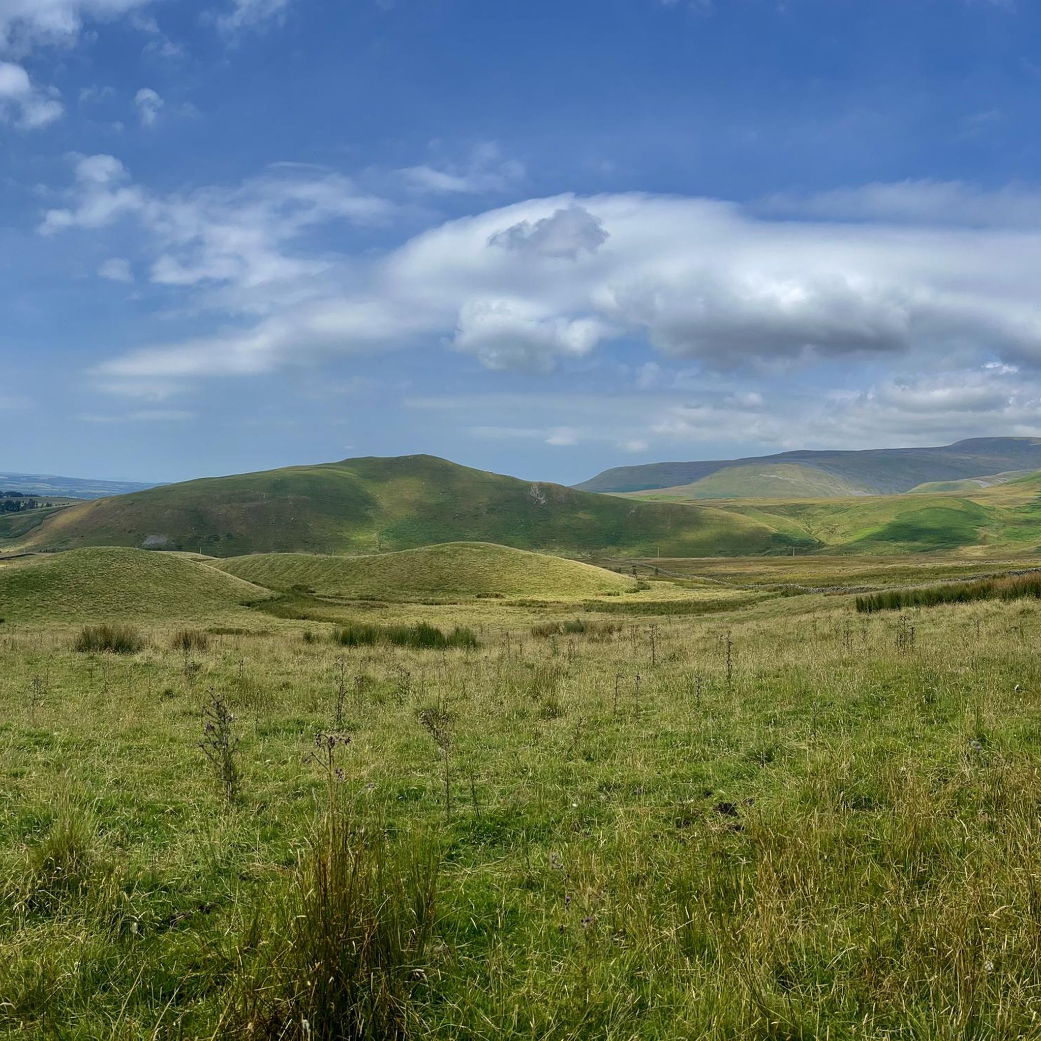
Running Trails around Long Marton
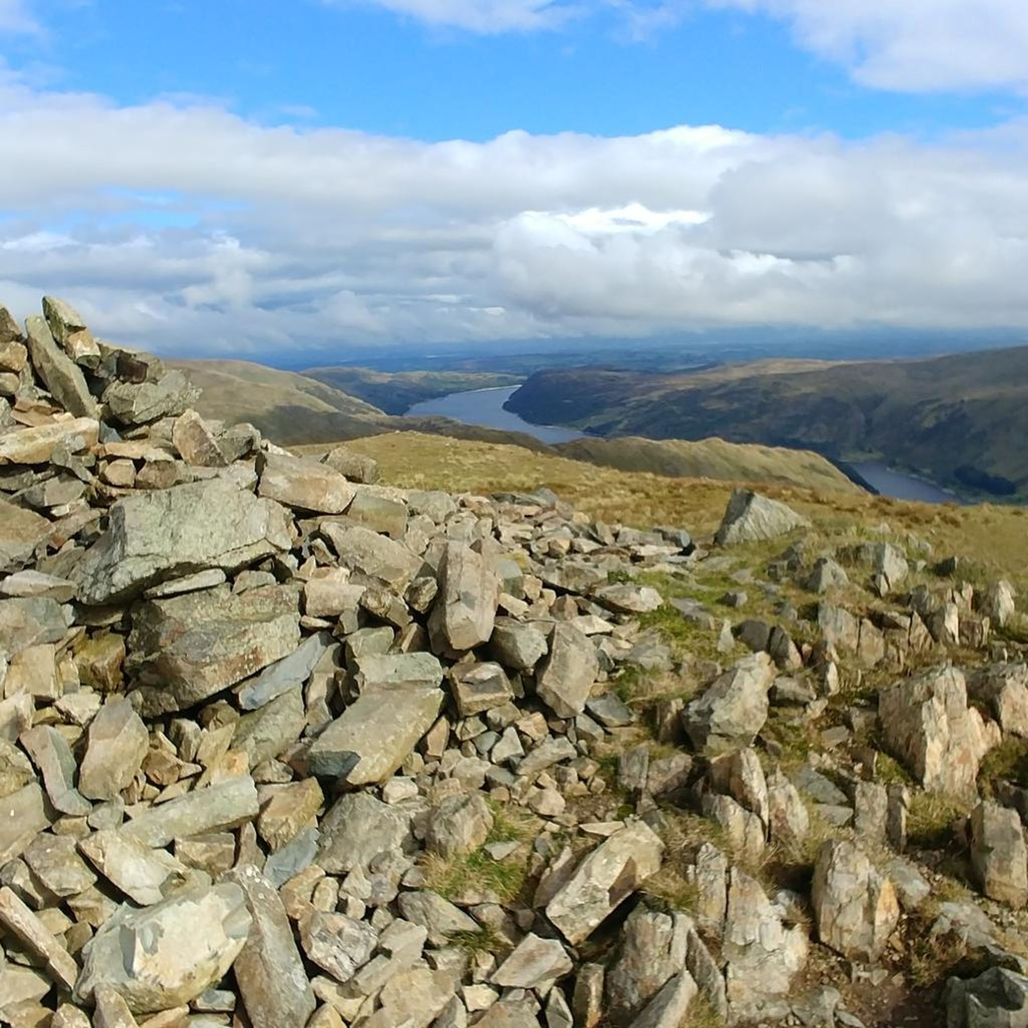
Running Trails around Blea Water
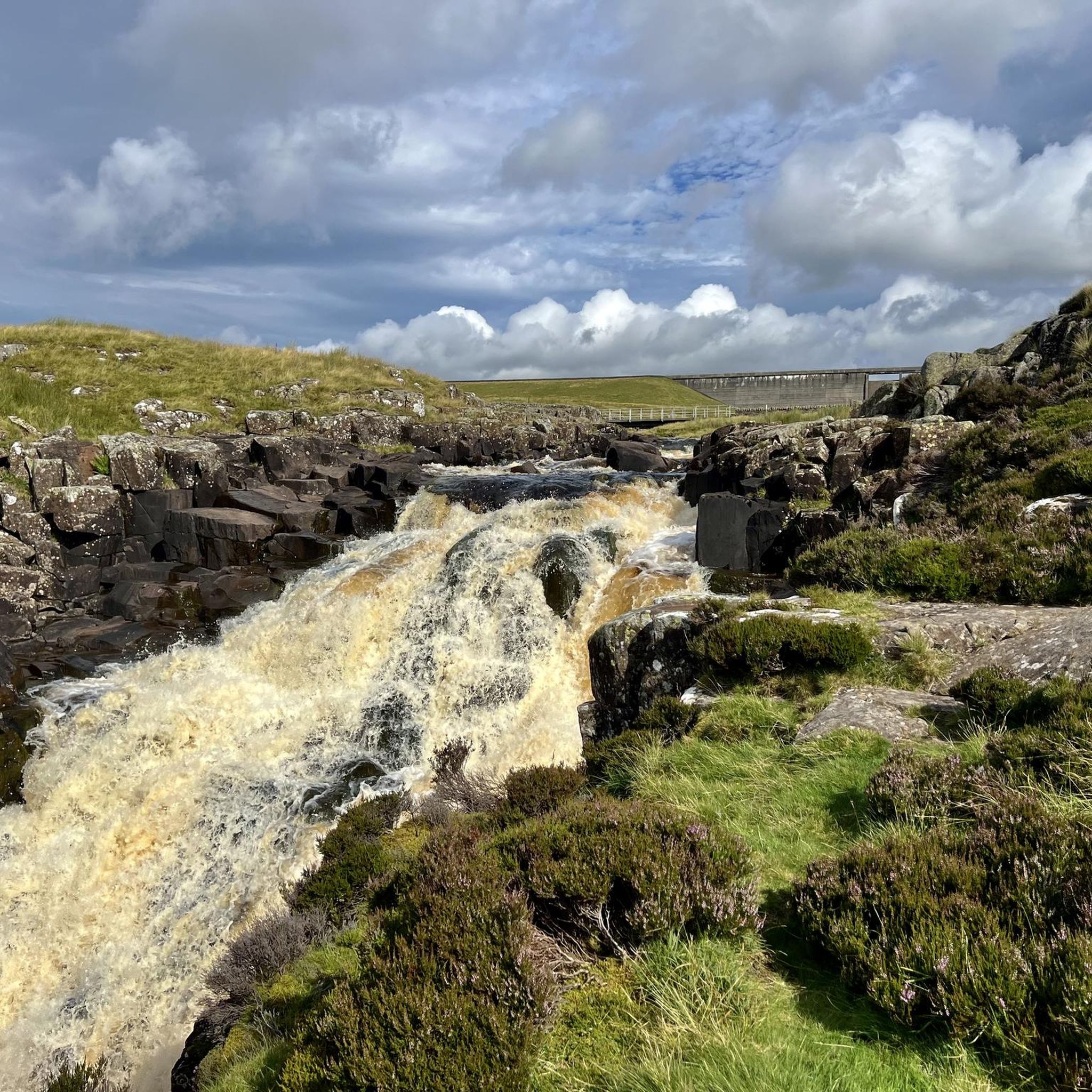
Running Trails around Dufton
Other adventures around Eden


Tips from the Community

A bit of a steep hill, the ascent is a bit of a struggle. Wonderful views.
2
0

Blencathra offers many things. Very easy access from A66 with parking spaces near Scales (with a Pub there if you need one). Steep (depending route) and with exciting Sharp Edge (not for faint hearted). Very popular with fell runners, hikers and mountain bikers... Seen Paragliders in the area as well but not sure where they start from. Can be done in an hour (for runners) or longer depending on your stamina and determination. Gorgeous views in all directions, ideal for sunrise and sunset. Well worth a visit.
0
0

We did the loop from Hartsop over The Knott, High Street, Thornthwaite Crag and back through the Pasture Beck valley. (12 km)
0
0

Kirkstone Pass, at 454 metres (1,489 feet), is the highest mountain pass in the Lake District that is open to vehicular traffic. It is a gorgeous pass, flanked by Red Screes and St Ravens Edge. It connects Ambleside via 'The Struggle' to Patterdale. It also connects Troutbeck to Patterdale on the A592, though this is closed due to a landslide at the moment (May 2026). The pub is great and normally opens at midday on weekdays, and there is a large public car park just across the road. This can be a great starting point for a variety of treks, but you are in for a sharp, stiff ascent to start off with whichever flanking hill you decide to ascend.
0
0
Pike How sits between Stoney Cove Pike and St Ravens Edge. There is a small cairn here, and it sits along a broad but beautiful ridge that can take you from Harstop Dodd all the way to Kirkstone Pass. You have great views towards Red Screes from here too.
0
0
Saint Sunday Crag is a super popular 841-metre Wainwright. It is a big Wainwright fell with a broad striking ridge with a cairned summit. It has sweeping views of the Helvellyn and Fairfield tops. If you come up from Patterdale, you will have a stiff climb to look forward to. Coming to it from Cofa Pike is a much more amicable affair for your legs.
0
0
This is the Wainwright Wether Hill, which sits at 671 metres high. It is rather barren apart from the cute small stone cairn, but it does have nice 360-degree views of the surrounding fells. The true summit of Wether Hill, which sits at 674 metres high, is about 400-500 metres away. That Wether Hill is a nuttall and has an unmarked top.
0
0
Loadpot Hill, at 671 metres, and its trig point occupy an expansive, flat-topped fell between Arthur's Pike and Wether Hill. It has commanding but distant 360-degree views of the surrounding fells from its barren, flat top that you know must be a nightmare during high winds in winter. The trig point is not the actual summit; the summit is nearby but unmarked.
0
0
Frequently Asked Questions
How many running routes are available in the Eden area?
There are over 800 running routes around Eden, offering diverse experiences from challenging fell runs to more gentle paths. The komoot community has rated these routes highly, with an average score of 4.4 stars.
What types of terrain can I expect on running trails in Eden?
The terrain in Eden is varied, ranging from the fells of the Lake District National Park to the valleys of the North Pennines. You'll encounter challenging ascents, scenic tarns, expansive moorland, rocky paths, and well-maintained trails. This variety caters to different ability levels, from moderate trails to difficult long-distance running routes.
Are there any easy or beginner-friendly jogging routes in Eden?
Yes, while many routes in Eden are challenging, there are approximately 58 easy running routes available. These trails offer a more gentle introduction to the region's beautiful landscapes.
Can I find circular running routes in Eden?
Absolutely. Many of the popular routes in Eden are circular, allowing you to start and finish in the same location. For example, the Dufton Pike circular from Dufton is a moderate 7.2 km loop in the North Pennines.
What natural features or landmarks can I see while running in Eden?
Eden's running routes offer stunning natural features. You can encounter prominent waterfalls like those on the Aira Force & Gowbarrow Fell loop, scenic tarns such as Scales Tarn below Blencathra, and expansive views from fells. The region is also home to significant summits like Helvellyn Summit and viewpoints like Catstye Cam. You'll also find beautiful lakes, including Ullswater.
Are there any running routes that pass by huts or shelters in Eden?
Yes, some longer or more remote routes in Eden pass by mountain huts or bothies that can offer shelter. Notable examples include Greg's Hut, Mosedale Cottage Bothy, and Great Lingy Hut. These can be useful for longer runs in the fells.
What do other runners enjoy most about the trails in Eden?
The komoot community highly rates the running trails in Eden, with an average score of 4.4 stars from over 100 reviews. Runners frequently praise the diverse landscapes, the challenging ascents, and the rewarding panoramic views from the fells. The variety of terrain and the opportunity to explore both the Lake District National Park and the North Pennines are also highly appreciated.
Are there any long-distance running options in Eden?
Yes, Eden offers several challenging long-distance running routes. For instance, the Ullswater eastern shore loop from Glenridding is an 19 km trail, and the Joss Naylor Lakeland Challenge leg one covers over 22 km with significant elevation gain.
What is the best time of year for running in Eden?
Eden offers unique running experiences throughout the year. Spring and summer provide milder weather and longer daylight hours, ideal for exploring the fells and valleys. Autumn brings vibrant fall foliage, particularly in areas like the Uinta-Wasatch-Cache National Forest (if considering the broader Eden context, though the guide focuses on UK Eden, this part of the research is less relevant here). Winter running is possible, but conditions can be challenging with snow and ice, especially on higher ground, requiring appropriate gear and caution.
Are there any particularly challenging running routes for experienced runners?
Eden is renowned for its difficult routes. The Helvellyn via Striding Edge & St Sunday Crag loop is a particularly demanding 17.4 km route with over 1100 meters of elevation gain. Other difficult options include the High Street and The Beacon loop from Hartsop and the Cross Fell & Wildboar Scar loop from Skirwith.
Are there running routes in Eden that offer views of lakes?
Yes, several routes provide stunning lake views. The Ullswater eastern shore loop from Glenridding offers extensive views of Ullswater. Additionally, the region's fells often provide panoramic vistas that include various tarns and lakes within the Lake District National Park.
Most popular routes around Eden
Most popular attractions around Eden

Get inspired with the komoot mobile app


Didn’t find what you were looking for?
Check out more Running Trails & Routes throughout Eden below and find the perfect route in your destination.
Explore more
Browse the best Running Trails & Routes in other regions.
