The best road cycling routes around Wallenfels
4.7
(202)
3,052
riders
103
rides
Road cycling around Wallenfels offers diverse landscapes within the Frankenwald region of northern Bavaria, Germany. The terrain features a mix of rolling hills, scenic valleys, and forests, characteristic of its "Middle Mountains" topography. Cyclists can expect panoramic plateaus, densely wooded slopes, and deep meadow valleys, providing varied cycling experiences. The routes utilize a network of smooth, paved bike paths and quiet side roads, with some incorporating unpaved sections.
Best road cycling routes around Wallenfels
- The most popular road cycling route is Sunrise Near Rutten loop from Steinwiesen, a 15.1 miles (24.4 km) moderate trail that takes 1 hour 1 minute to complete. This route offers a balanced ride through the varied landscape of the Frankenwald.
- Another top favourite among local road cyclists is Marktzeuln Town Hall – Marketplace Bad Staffelstein loop from Steinwiesen, a moderate 62.3 miles (100.2 km) path. This longer route traverses different towns and offers extensive views of the surrounding region.
- Local road cyclists also love the View of the Ködeltalsperre – Ködeltalsperre loop from Wallenfels, a 22.2 miles (35.7 km) trail leading through the area around the Ködeltalsperre, often completed in about 1 hour 56 minutes.
- Road cycling around Wallenfels is defined by panoramic plateaus, wooded slopes, and deep meadow valleys. The network offers options for easy, moderate, and difficult ability levels.
- The routes in Wallenfels are highly rated by the komoot community with an average score of 4.8 stars from over 180 reviews. More than 3,000 road cyclists have used komoot to explore Wallenfels's varied terrain.
Last updated: October 29, 2026
4.7
(7)
50
riders
35.7km
01:51
350m
350m
Moderate road ride. Good fitness required. Some segments of this route may be unpaved and difficult to ride.
4.8
(4)
37
riders
42.8km
01:58
520m
520m
Moderate road ride. Good fitness required. Mostly well-paved surfaces and easy to ride.

5.0
(1)
22
riders
Moderate road ride. Some segments of this route may be unpaved and difficult to ride.
5.0
(1)
13
riders
Moderate road ride. Good fitness required. Some segments of this route may be unpaved and difficult to ride.
4.0
(1)
52
riders
Moderate road ride. Good fitness required. Some segments of this route may be unpaved and difficult to ride.
Get access to more routes and recommendations from other explorers.
Already have an account?
Our route recommendations are based on thousands of hikes, rides, and runs completed by other people on komoot.
Start today with a free account
Your next adventure awaits.
Popular around Wallenfels
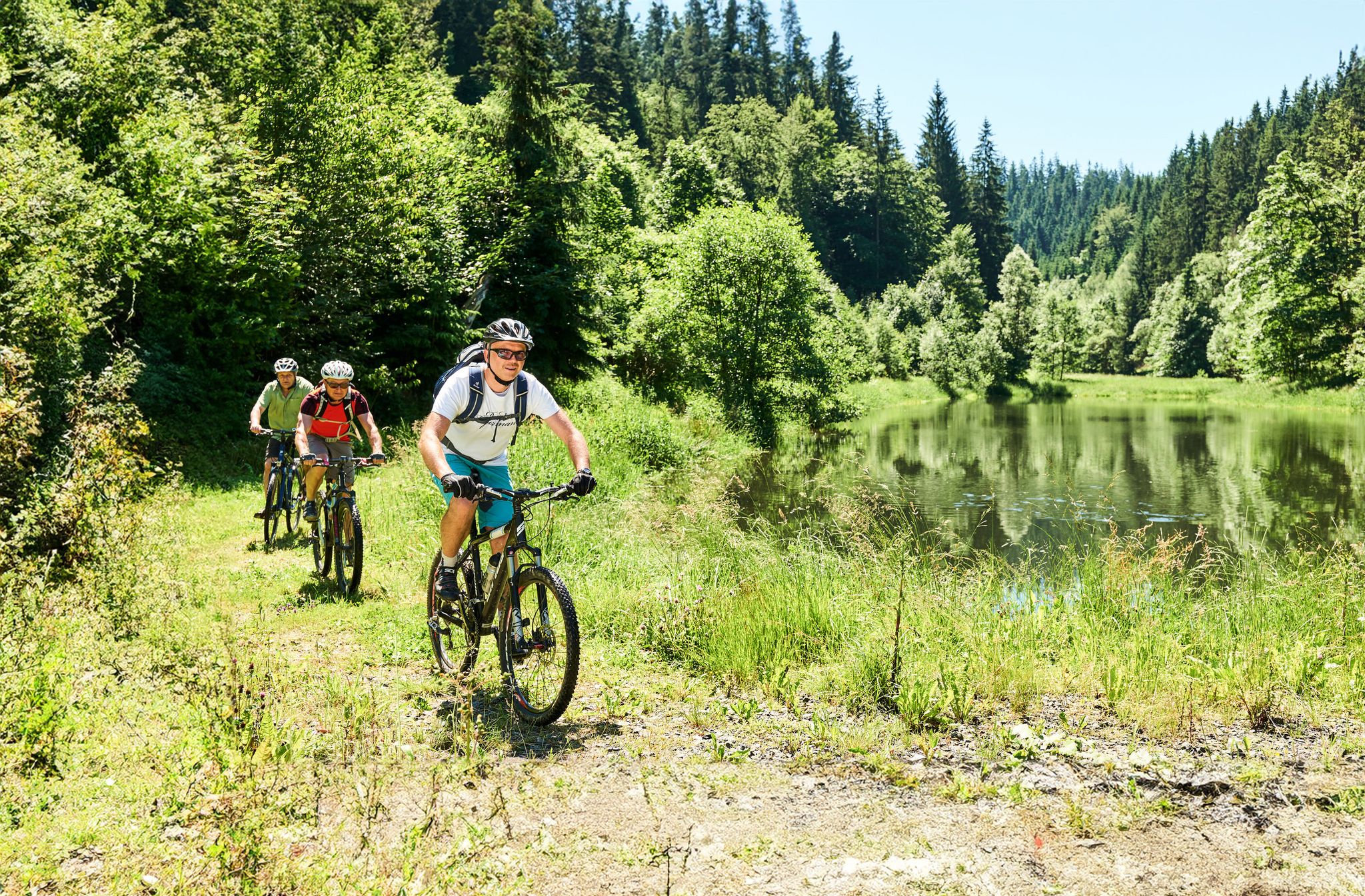
Magical woodland & trails – cycling in Germany’s Franconian Forest
Lehrpfade und Themenwege
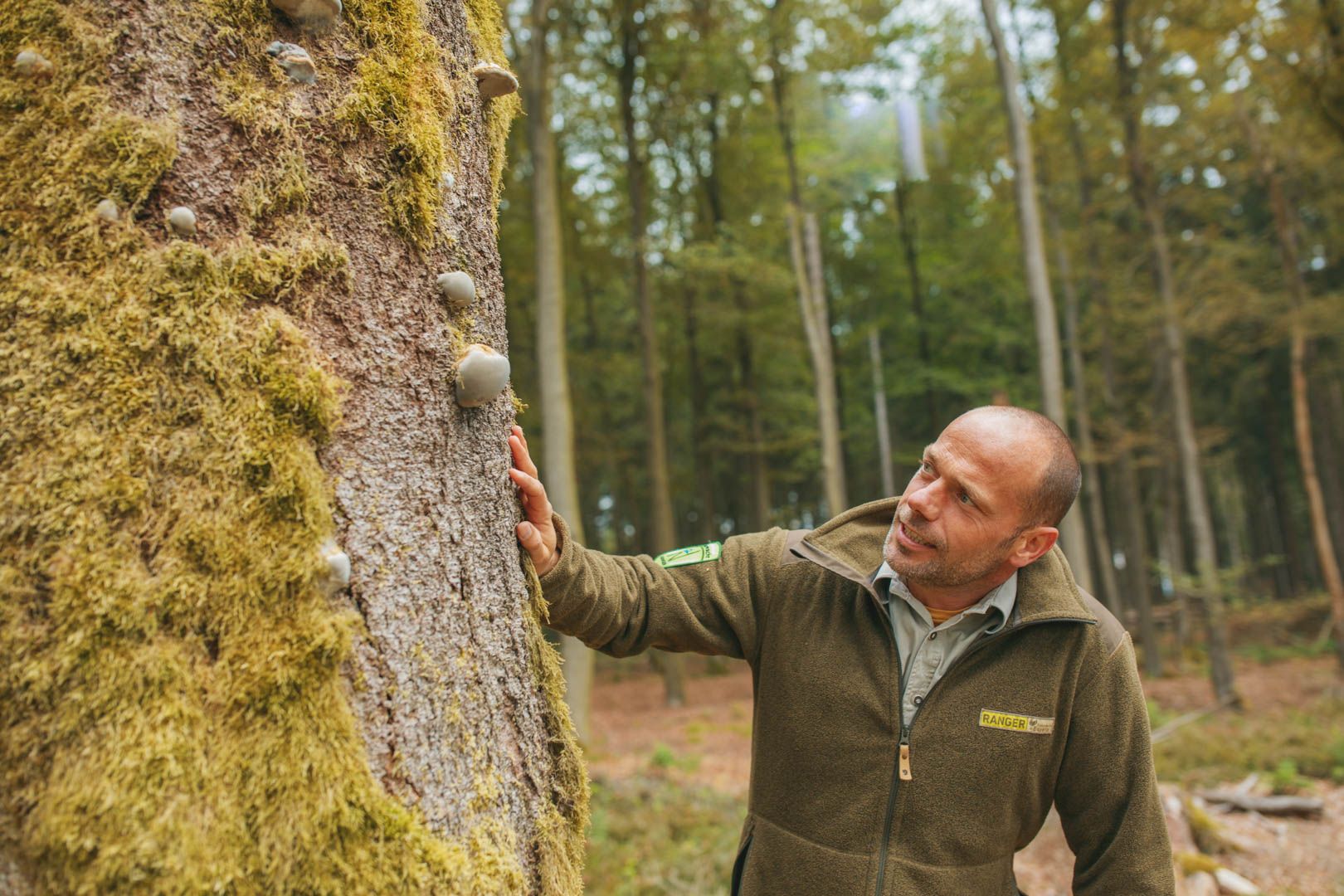
Tipps der Naturpark-Ranger
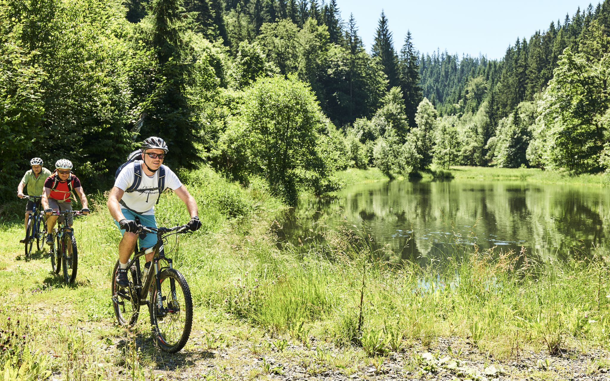
Mountainbiking im Frankenwald
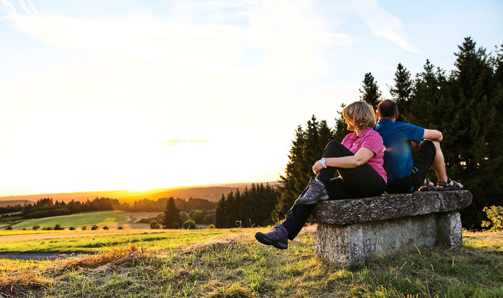
Unsere FrankenwaldSteigla
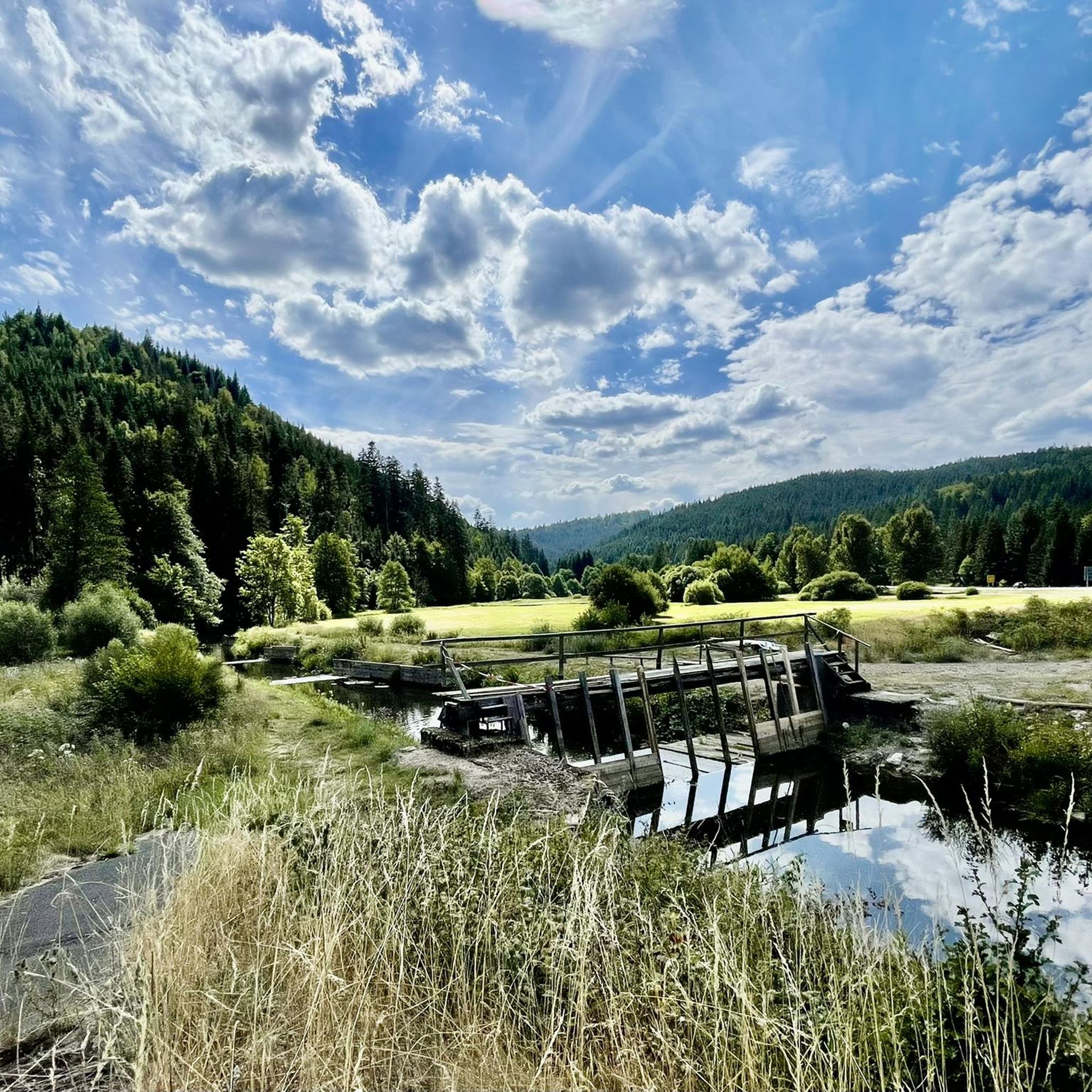
Hiking around Wallenfels
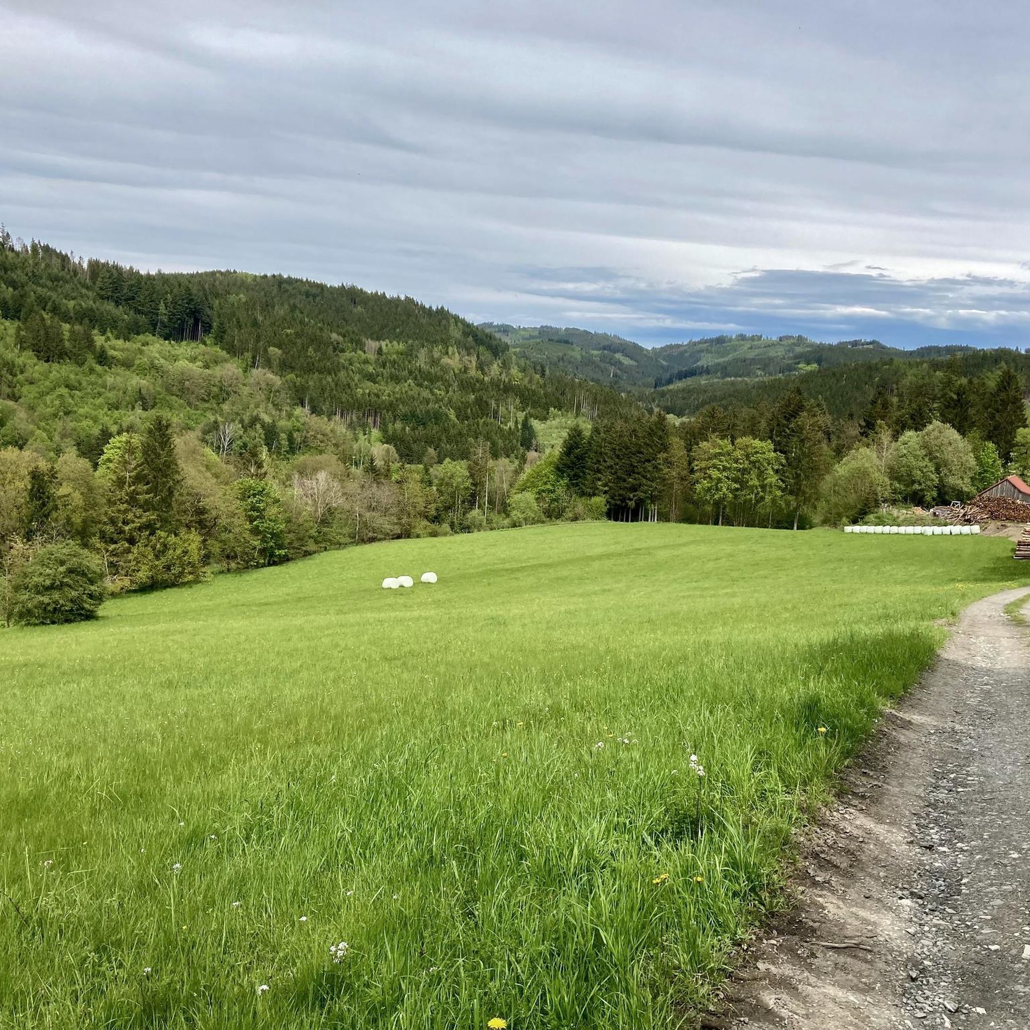
MTB Trails around Wallenfels
Cycling around Wallenfels
Running Trails around Wallenfels

Gravel biking around Wallenfels
Other adventures around Wallenfels


Tips from the Community

The ensemble within the 14th and 15th century fortification ring developed from the earliest mention of the present settlement around 800. The town parish church of St. Kilian was founded centrally within it even before 1007. In 1130, the settlement received market rights, a good 250 years later full jurisdiction. From 1422, the town's fortifications were built. In 1473, the town burned down, including the parish church and the town hall. In the Thirty Years' War, in 1684, almost the entire place fell prey to the flames again. The symbol of the subsequent reconstruction is the town hall from 1686/87. Of particular importance is the cohesive appearance of the buildings, which is shaped by the reconstruction after the town fire of 1684. These typically include two-storey front houses, often with gables facing the street, featuring decorative half-timbering on the upper floor. In addition to wall remnants, the Bamberger Torturm gate tower, dating back to the 16th century in its core, has been preserved from the town's fortifications.
7
3


The only possibility for cyclists to cross the Rodach, coming from Neuses, towards the State Garden Show grounds - and vice versa.
0
0

Between Erlabrück and Steinwiesen it is very pleasant to drive away from traffic on good asphalt
0
0

The houses and the banks of the Main River in Marktzeuln are beautiful. The traffic light system, however, is completely useless for cyclists. That's why I usually cycle slowly and leisurely along the sidewalk, ignoring the phases. It only gets narrow at the upper gate. Here, you might want to use the traffic lights as a guide.
0
0

View of the Main from the bridge.
6
2
Frequently Asked Questions
What kind of terrain can I expect on road cycling routes around Wallenfels?
Road cycling in the Wallenfels region, nestled in the Frankenwald, offers a diverse landscape. You'll encounter panoramic plateaus, densely wooded slopes, and deep meadow valleys, sometimes featuring rocky gorges. Routes primarily utilize smooth, paved bike paths and quiet side roads, though some may include unpaved sections, adding to the varied cycling adventure.
How many road cycling routes are there in Wallenfels, and what are their difficulty levels?
There are over 100 road cycling routes available around Wallenfels. The network caters to all skill levels, with 18 easy routes, 68 moderate routes, and 22 difficult routes, ensuring options for every cyclist.
Are there any notable landmarks or viewpoints to discover along the road cycling routes?
Yes, the region boasts several interesting landmarks and viewpoints. You can cycle past the dramatic Steinach Gorge, known for its unique climate and wild beauty. For breathtaking panoramic views over the Frankenwald, Fichtelgebirge, and Thuringian Forest, consider routes that lead towards the Prinz-Luitpold Tower on Döbraberg.
What do other road cyclists enjoy most about the routes in Wallenfels?
The road cycling routes around Wallenfels are highly rated by the komoot community, with an average score of 4.8 stars from over 170 reviews. Cyclists frequently praise the diverse landscapes, the mix of challenging climbs and scenic valley rides, and the well-maintained paths that make for an enjoyable experience.
Are there any longer road cycling routes for experienced riders?
Absolutely. For those seeking a longer challenge, the Marktzeuln Town Hall – Marketplace Bad Staffelstein loop from Steinwiesen is a moderate 100.2 km (62.3 miles) path that traverses different towns and offers extensive views of the surrounding region.
Can I find circular road cycling routes around Wallenfels?
Yes, many routes in the Wallenfels area are designed as loops, allowing you to start and end in the same location. An example is the View of the Ködeltalsperre – Ködeltalsperre loop from Wallenfels, a 35.7 km (22.2 miles) trail that takes you around the scenic Ködeltalsperre.
Are there family-friendly road cycling options in Wallenfels?
While many road cycling routes in Wallenfels involve varied terrain and elevation changes, there are easier options available. Look for routes categorized as 'easy' within the komoot guide, which typically feature less elevation and smoother surfaces, suitable for families or less experienced riders.
What is the best time of year for road cycling in Wallenfels?
The Frankenwald region, including Wallenfels, is generally best for road cycling during the spring, summer, and early autumn months. These seasons offer pleasant temperatures and lush scenery, making for ideal riding conditions. Always check local weather forecasts before heading out.
Where can I find parking for road cycling routes in Wallenfels?
Wallenfels and surrounding towns often provide public parking facilities. For specific routes, it's advisable to check the route details on komoot, as many tours suggest convenient starting points with available parking, such as near the start of the Steinbühl Quarry Lake – Path Along the Wilde Rodach loop from Wallenfels.
Is it possible to rent a bike in Wallenfels or the surrounding area?
While specific bike rental (Fahrradverleih) information for Wallenfels isn't provided in the guide, the Frankenwald region is well-equipped for cyclists. It's recommended to check with local tourist information centers or search online for 'Fahrradverleih Wallenfels' or in nearby larger towns for rental options.
Can I bring my dog on road cycling routes in Wallenfels?
Road cycling routes are primarily designed for speed and smooth surfaces, which may not always be ideal for dogs, especially on longer distances or routes with traffic. If you plan to cycle with your dog, consider shorter, quieter routes or those with dedicated bike paths, and ensure your dog is accustomed to running alongside a bike or is safely transported in a trailer.
Most popular routes around Wallenfels
Most popular attractions around Wallenfels

Get inspired with the komoot mobile app


Explore more
Browse the best Road cycling routes in other regions.
