The best walks and hikes around Walsheim
4.6
(50186)
185,012
hikers
1,957
hikes
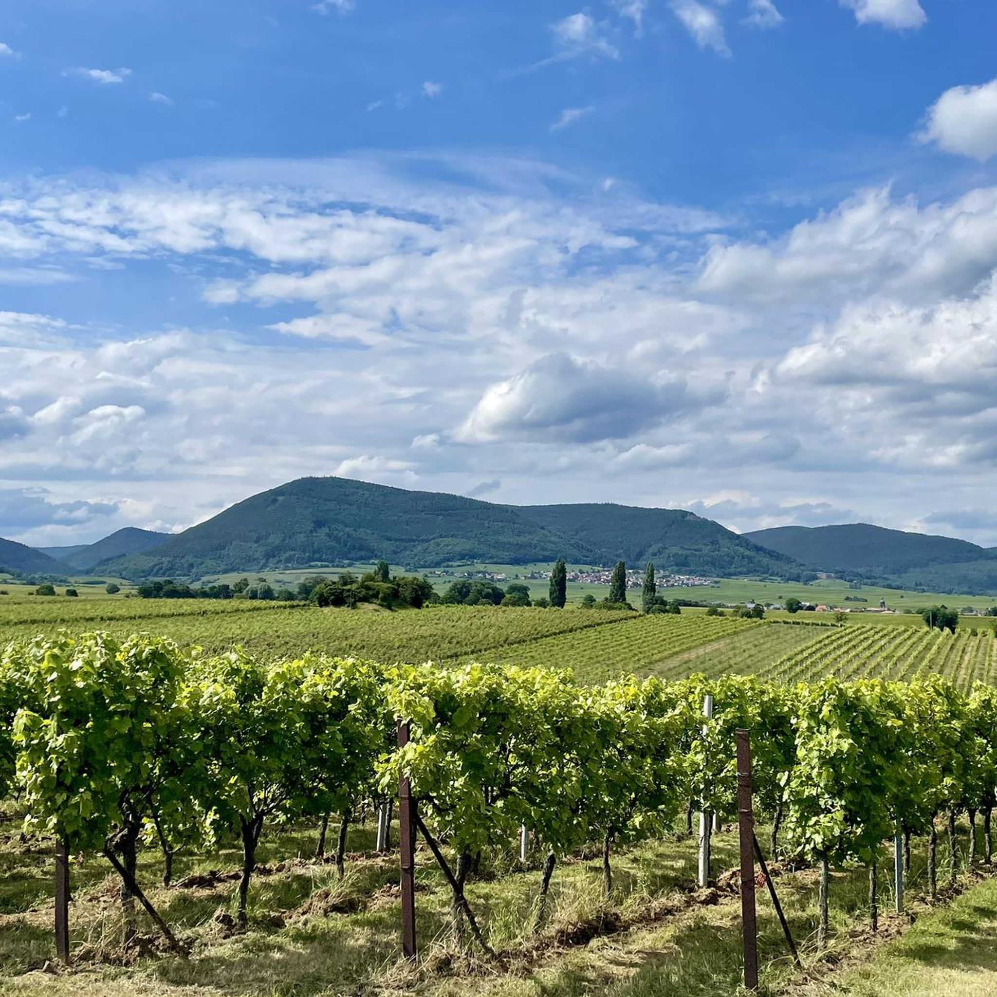
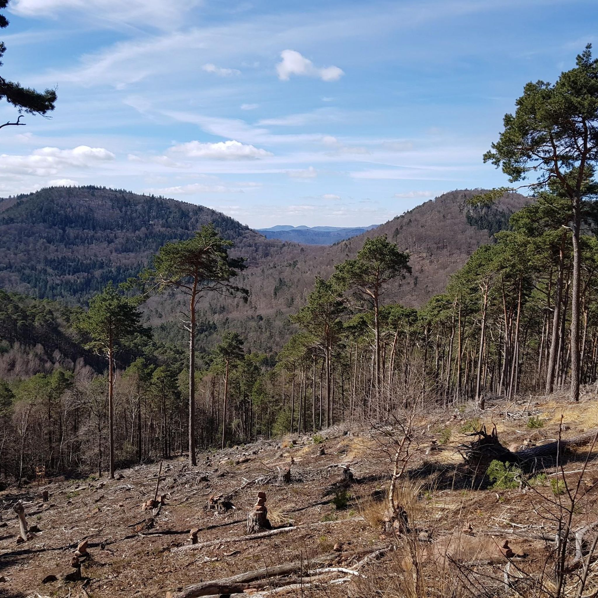
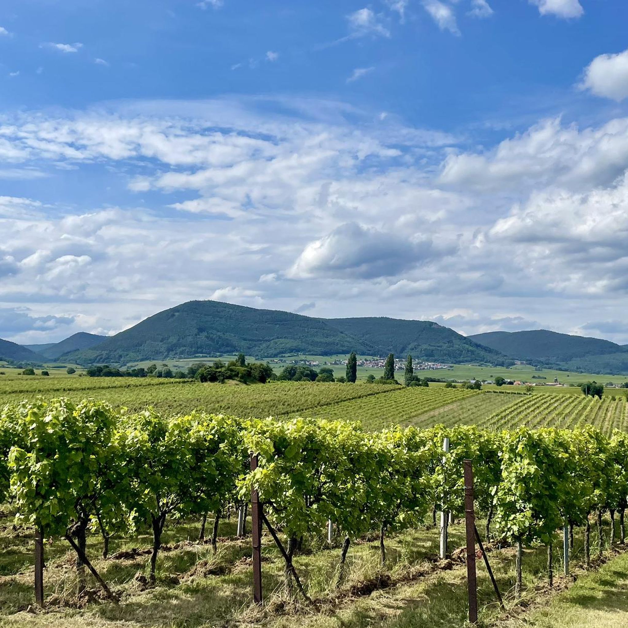
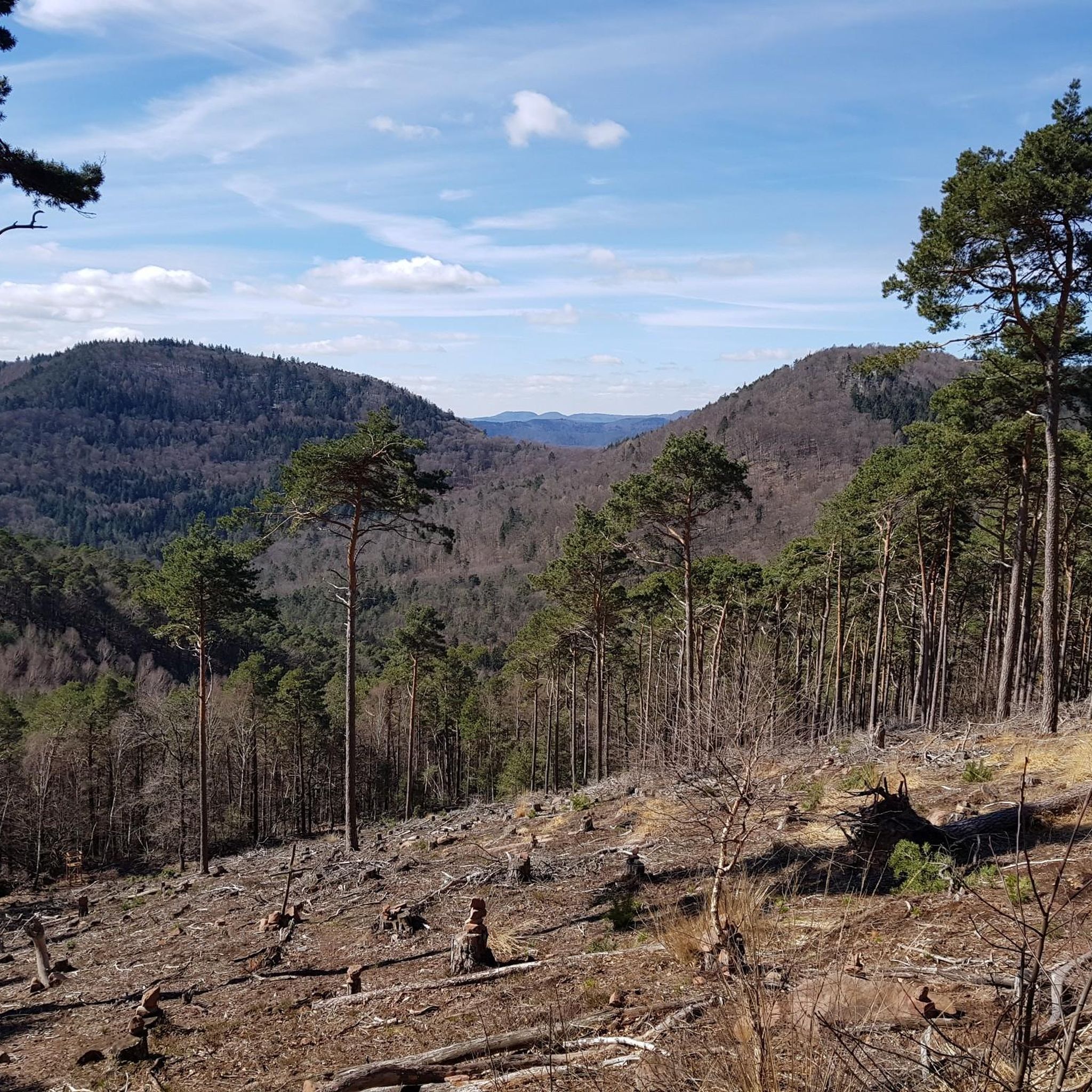
Hiking around Walsheim offers diverse terrain within the Hainbachtal valley, characterized by extensive vineyards and proximity to the Palatinate Forest. The region's landscape transitions from gentle wine country paths to more challenging forest trails. This area provides a well-developed network of paths for various fitness levels, situated between the German Wine Route and the Pfälzerwald.
Best hiking trails around Walsheim
- The most popular hiking route is Ramburg Castle Ruins – Five Castles Viewpoint loop from Ramberg, a 9.98 miles (16.1 km) trail that takes 4 hours 45 minutes to complete. This moderate route explores historic castle ruins and offers expansive views.
- Another top favourite among local hikers is Orensfels Viewpoint – Ascent to Orensfels loop from Ramberg, an easy 2.21 miles (3.6 km) path. This route leads to a prominent viewpoint, offering scenic vistas over the surrounding landscape.
- Local hikers also love the Historic center of Burrweiler – Burrweiler Mühle Winery loop from Flemlingen, a 4.95 miles (8.0 km) trail leading through vineyards and past a historic winery, often completed in about 2 hours 7 minutes.
- Hiking around Walsheim is defined by rolling vineyards, dense Palatinate Forest, and the scenic Hainbachtal valley. The network offers routes for various ability levels, from easy strolls to moderate forest hikes.
- The routes in Walsheim are highly rated by the komoot community with an average score of 4.6 stars from over 41,000 reviews. More than 167,000 hikers have used komoot to explore Walsheim's varied terrain.
Last updated: October 8, 2026
4.7
(124)
465
hikers
16.1km
04:45
470m
470m
Moderate hike. Good fitness required. Easily-accessible paths. Suitable for all skill levels.
4.9
(8)
26
hikers
3.56km
01:06
130m
130m
Easy hike. Great for any fitness level. Easily-accessible paths. Suitable for all skill levels.

4.6
(34)
110
hikers
Moderate hike. Good fitness required. Easily-accessible paths. Suitable for all skill levels.
4.7
(182)
792
hikers
6.24km
01:48
160m
160m
Easy hike. Great for any fitness level. Easily-accessible paths. Suitable for all skill levels.
4.7
(55)
175
hikers
7.41km
02:08
180m
180m
Moderate hike. Good fitness required. Easily-accessible paths. Suitable for all skill levels.
Get access to more routes and recommendations from other explorers.
Already have an account?
Our route recommendations are based on thousands of hikes, rides, and runs completed by other people on komoot.
Start today with a free account
Your next adventure awaits.

Tips from the Community

Take-off area for paragliders at Orensberg. The landing area is located in the Dernbach valley.
0
0

At the castle there is a gap between the trees, through which you have a very nice view of Ramberg and the surrounding hills - not as wide-angle as at the 5-Burgenblick viewpoint, but also very beautiful.
4
0
Beautiful small hiking trail to the castle ruins. Easy to walk.
5
0
Large and free parking lot - starting point for many hikes.
4
0

In front of the Landauer Hut
0
0
Great view
0
0

Rock formation with seating on the way to the Orensfels viewpoint.
4
0
Frequently Asked Questions
How many hiking trails are available around Walsheim?
Walsheim offers an extensive network of over 1,900 hiking routes. These trails cater to various preferences, ranging from easy strolls through vineyards to more challenging forest hikes, ensuring there's something for every fitness level.
What kind of terrain can I expect on hikes in Walsheim?
The terrain around Walsheim is quite diverse. You'll find gentle paths winding through extensive vineyards in the Hainbachtal valley, as well as more challenging trails with elevation changes as you venture into the adjacent Palatinate Forest. The region sits between the German Wine Route and the Pfälzerwald, offering a mix of open wine country and dense woodland.
Are there easy hiking trails suitable for beginners or casual walkers in Walsheim?
Yes, Walsheim has over 1,000 easy routes perfect for beginners or those looking for a leisurely walk. An example is the Orensfels Viewpoint – Ascent to Orensfels loop from Ramberg, an easy 3.6 km path leading to a scenic viewpoint.
Can I find circular hiking routes in the Walsheim area?
Many of the trails around Walsheim are designed as circular routes, allowing you to start and end at the same point. For instance, the Ramburg Castle Ruins – Five Castles Viewpoint loop from Ramberg is a popular circular option that explores historic sites and offers expansive views.
Are there any notable landmarks or viewpoints to discover while hiking near Walsheim?
Absolutely. The region is rich in landmarks and viewpoints. You can hike to historic sites like the Trifels Castle or the ruins of Ramburg Castle. For stunning vistas, consider routes leading to the Orensfels Viewpoint or the Five Castles Viewpoint, offering panoramic views over the Palatinate Forest.
Are the hiking trails around Walsheim suitable for families with children?
Yes, many trails around Walsheim are family-friendly, especially the easier routes through the vineyards. These paths often have less elevation gain and are shorter in distance, making them suitable for all ages. The diverse landscape also offers engaging scenery for children to explore.
Can I bring my dog on the hiking trails in Walsheim?
Walsheim's hiking trails are generally dog-friendly, offering plenty of natural spaces for you and your canine companion to enjoy. It's always advisable to keep your dog on a leash, especially in vineyard areas or near wildlife, and to carry water for both of you.
What is the best time of year to go hiking in Walsheim?
The best time for hiking in Walsheim is typically from spring through autumn. Spring brings blooming vineyards and mild temperatures, while autumn offers vibrant fall foliage and the grape harvest season. Summer is also pleasant, though some forest trails provide welcome shade on warmer days. Winter hiking is possible, but some paths might be slippery or less accessible.
Are there options for parking near the trailheads in Walsheim?
Yes, many popular trailheads and starting points for hikes around Walsheim offer parking facilities. Given the region's popularity for outdoor activities, you'll often find designated parking areas, especially near villages like Ramberg or Flemlingen, which serve as common starting points for various routes.
What do other hikers say about the trails in Walsheim?
The hiking routes in Walsheim are highly regarded by the komoot community, boasting an average rating of 4.6 stars from over 41,000 reviews. Hikers frequently praise the well-maintained paths, the beautiful combination of vineyards and forest, and the rewarding viewpoints.
Are there any longer, more challenging hikes for experienced hikers?
For experienced hikers, Walsheim offers more challenging routes, particularly those venturing deeper into the Palatinate Forest. These trails can involve significant elevation gains and longer distances. An example is the Ramburg Castle Ruins – Five Castles Viewpoint loop from Ramberg, which is nearly 16 km long and features almost 470 meters of ascent.
Where can I find refreshments or places to eat near the hiking routes?
Walsheim and its surrounding villages, being in a wine-growing region, offer various opportunities for refreshments. You'll find traditional German pubs (Gasthäuser), wineries (Weingüter) offering tastings, and cafes. Some routes, like the Historic center of Burrweiler – Burrweiler Mühle Winery loop from Flemlingen, even pass directly by wineries.
What are some unique natural features I might encounter on the trails?
Beyond the vineyards and forests, you might encounter unique geological formations like the Felsenmeer Hüttenberg, a 'sea of rocks' that adds a distinctive element to the landscape. The region's diverse flora and fauna, especially within the Palatinate Forest, also offer rich natural experiences.
Most popular routes around Walsheim
Most popular attractions around Walsheim

Get inspired with the komoot mobile app


Explore more
Browse the best Hikes in other regions.
