The best road cycling routes around Garton
4.4
(26)
2,029
riders
187
rides
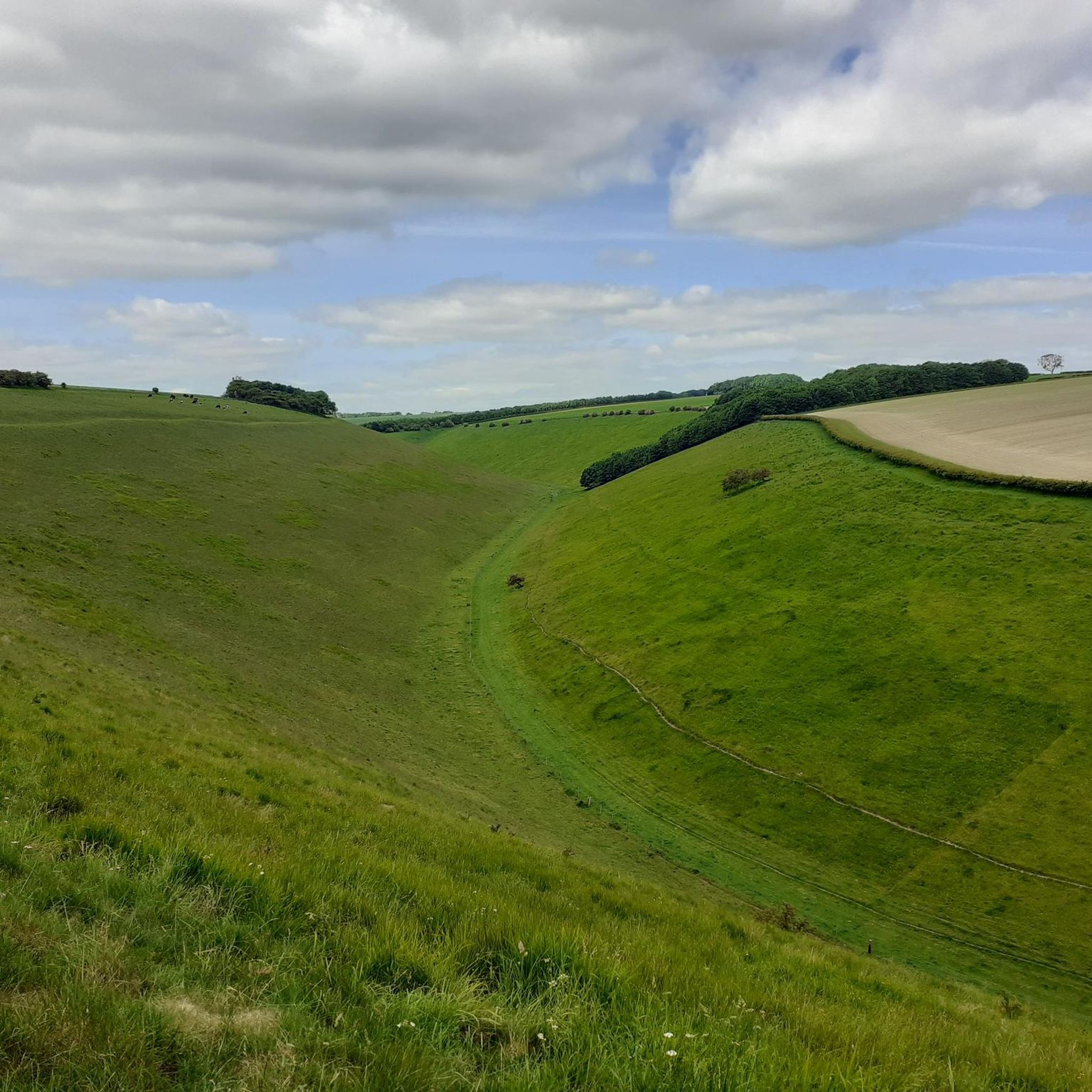
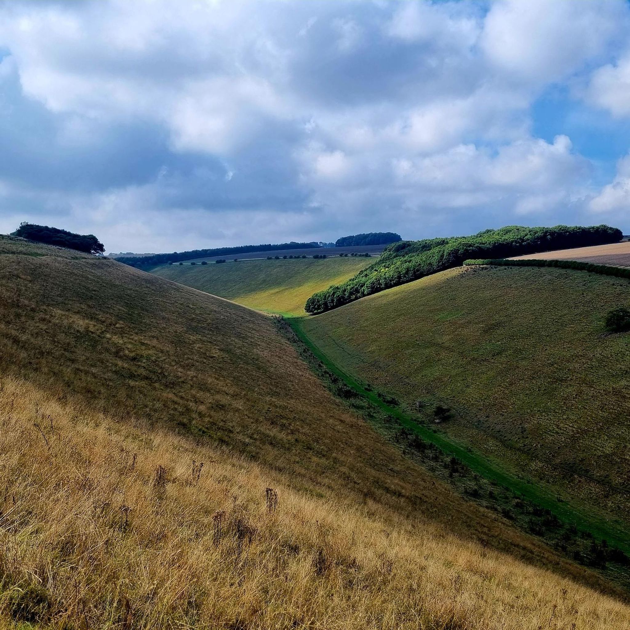
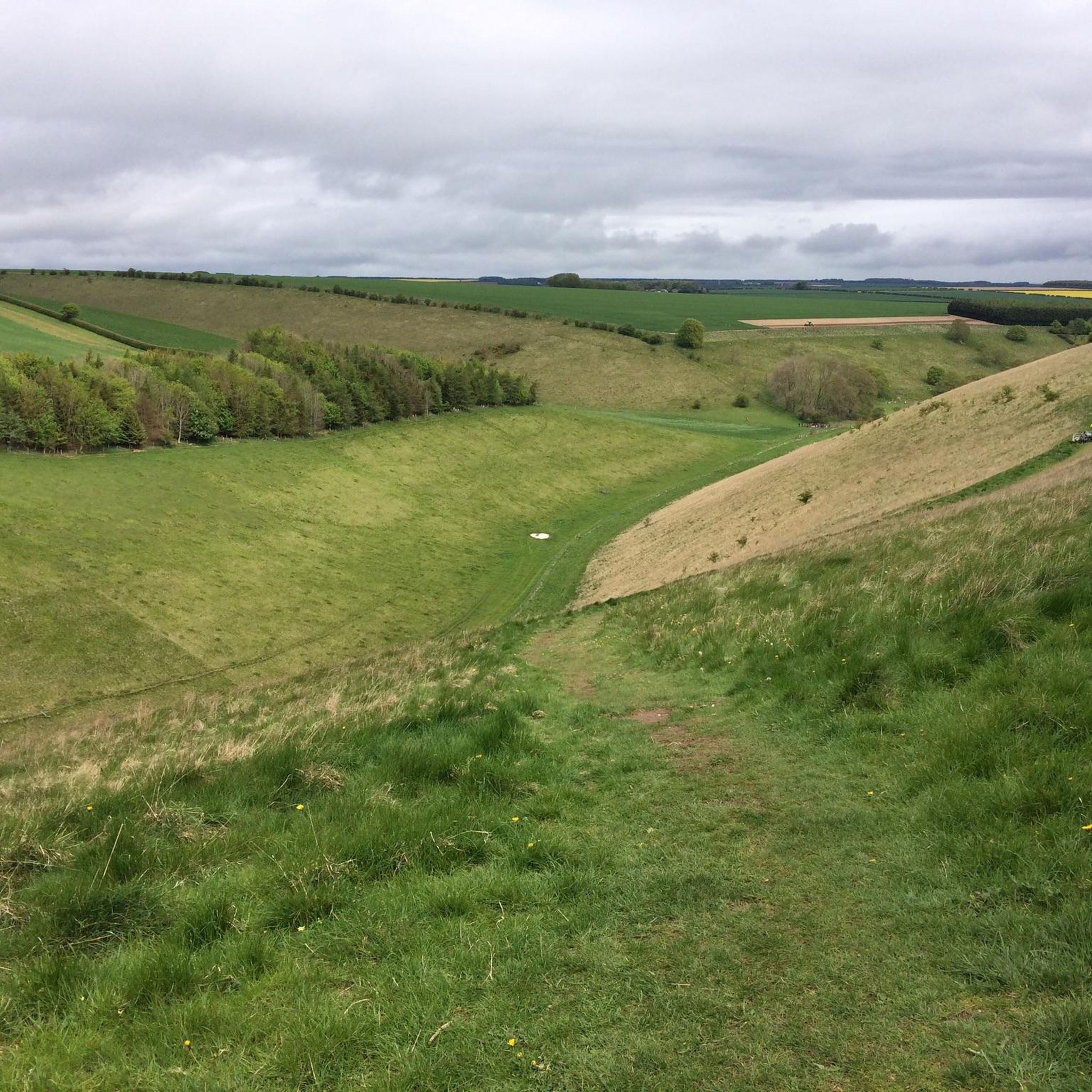
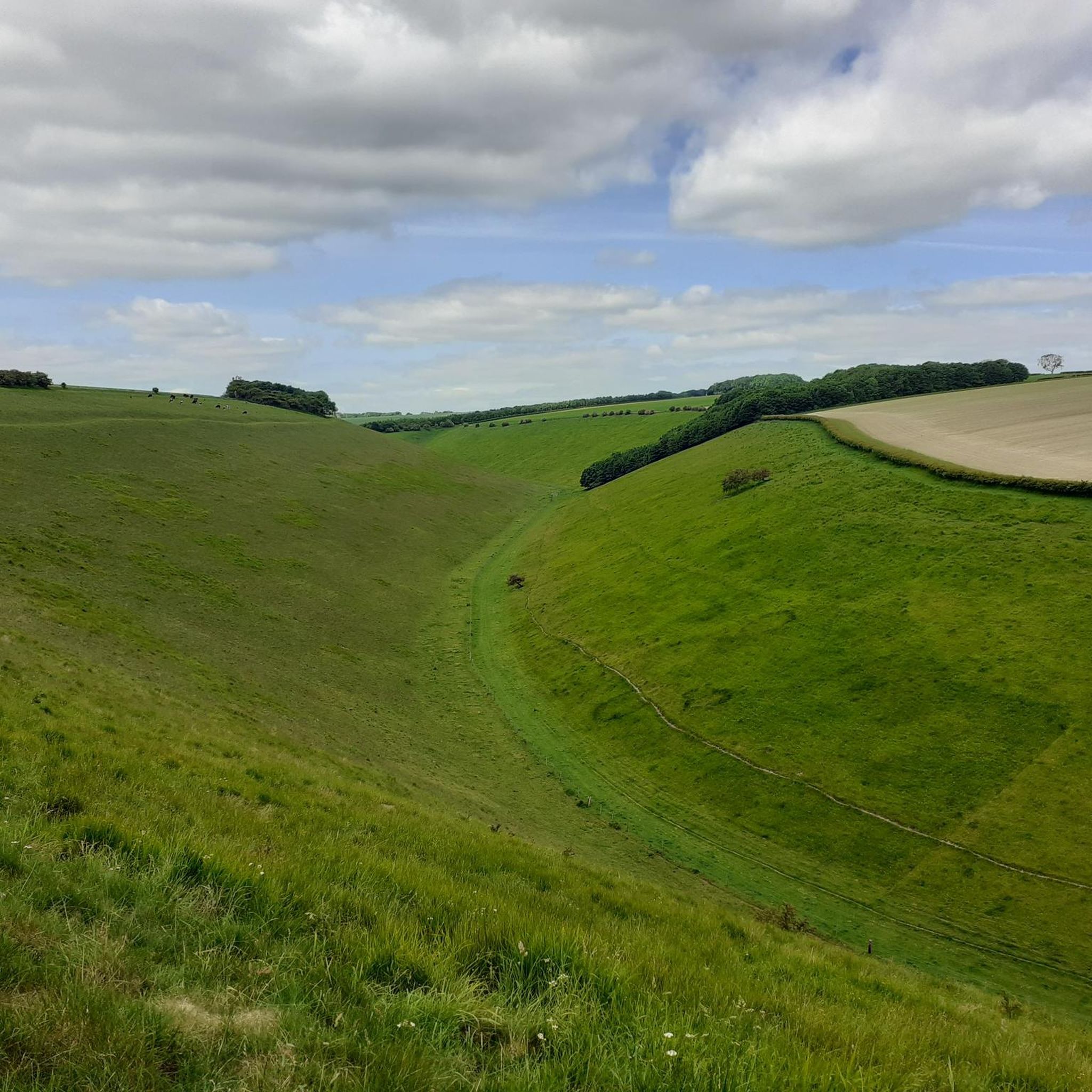
Road cycling routes around Garton are primarily found within the Yorkshire Wolds, an area characterized by rolling chalk hills, dry valleys, and agricultural landscapes. The region offers a mix of quiet country roads and scenic paths, including sections along the Driffield Navigation Canal. Elevation changes are generally moderate, with some routes featuring more challenging climbs through the Wolds.
Best road cycling routes around Garton
- The most popular road cycling route is Yorkshire Wolds Cycle Route, a 58.4 miles (94.0…
Last updated: July 8, 2026
71
riders
94.0km
04:42
630m
630m
Cycle the moderate 58.4-mile Yorkshire Wolds Cycle Route, featuring rolling hills, charming villages, and historic sites like Burton Agnes H
7
riders
102km
05:03
930m
930m
Hard road ride. Very good fitness required. Mostly well-paved surfaces and easy to ride.

Sign up for free
4.0
(1)
3
riders
Moderate road ride. Good fitness required. Mostly well-paved surfaces and easy to ride.
4.0
(2)
66
riders
65.2km
03:02
270m
270m
Moderate road ride. Good fitness required. Mostly well-paved surfaces and easy to ride.
4.6
(5)
34
riders
67.8km
03:18
420m
420m
Moderate road ride. Good fitness required. Mostly well-paved surfaces and easy to ride.
Get access to more routes and recommendations from other explorers.
Sign up for free
Already have an account?
Our route recommendations are based on thousands of hikes, rides, and runs completed by other people on komoot.
Start today with a free account
Your next adventure awaits.
Login or Signup
Tips from the Community


Beautiful old mansion, both inside and out. Don't pass by without a visit!
0
0


A great spot to add on your trip if you like puffins. They begin to arrive in late April and start settling into their burrows in May each year. By late July most of the chicks have fledged and the adults begin returning back to the open sea. By August all the puffins have left Bempton Cliffs as they spend the winter in the northern oceans.
0
0
The Rudston monolith is the tallest prehistoric standing stone in Britain, measuring almost 8 metres high, nearly 2 metres wide, a metre thick and estimated to weigh somewhere in the region of a massive 26 tons. This giant block of grey sandstone or gritstone was errected here either in the late Neolithic or early Bronze Age and is thought to have been quarried more than 10 miles away in the Cayton Bay area south of Scarborough, although the glacial transportation of a large block of stone that was then shaped and utilised by the prehistoric residents of the area cannot be ruled out. The top of the stone has been weathered and eroded into a fluted peak similar to the stones of the Devil's Arrows and a lead cap was first added to try to preserve it in the 18th century. The churchyard of All Saints that it stands in is of course much younger and although the christianisation of the site took place around 1100AD the stone had already stood here for at least 3000 years. The monolith stands close to the Gypsey Race, an occasional stream that flows along the floor of the Great Wold Valley from close to the barrow of Duggleby Howe in the east, past another pair of barrows at Wold Newton and Willie Howe before turning south past the Argham Henge and Cursus down to Rudston itself where it bends sharply and heads eastwards to the sea at Bridlington. The whole of the Gypsey Race landscape was obviously important in prehistoric times and holds a rich selection of sites, most of which have been destroyed or badly damaged by ploughing, including many round barrows, several long barrows, four cursuses and at least one henge. It continued to retain its importance into the historic period - a major Roman villa was discovered to the southwest of Rudston village. In the corner of the churchyard is a much smaller stone presumably brought here from a local barrow and also the remains of a double cist that was removed from a nearby barrow on Rudston Beacon by the antiquarian Canon Greenwell in the late 19th century.
0
0

Marker board signifying Bridlington end (or start) of the Way of the Roses route.
0
0
Frequently Asked Questions
What kind of terrain can I expect when road cycling around Garton?
Road cycling routes around Garton primarily traverse the Yorkshire Wolds, characterized by rolling chalk hills, dry valleys, and agricultural landscapes. You'll find a mix of quiet country roads and scenic paths, including sections along the Driffield Navigation Canal. While elevation changes are generally moderate, some routes feature more challenging climbs through the Wolds. The region also offers tranquil lakeside routes around Lough Gartan and dramatic coastal views if you venture towards the Donegal coastline and the Wild Atlantic Way.
How many road cycling routes are available in the Garton area?
There are over 190 road cycling routes available around Garton, catering to various skill levels. This includes approximately 56 easy routes, 129 moderate routes, and 9 more challenging options for experienced cyclists.
Are there any challenging road cycling routes for experienced riders?
Yes, for experienced riders seeking a challenge, Garton offers routes with significant elevation gain. A notable option is The Yorkshire Wolds cycle route — North east loop from Driffield, a difficult 63.5-mile (102.3 km) path that provides a demanding ride through the Wolds.
What are some scenic landmarks or points of interest I can see while cycling?
While cycling around Garton, you can explore various points of interest. Consider visiting the historic Wharram Percy — Deserted Medieval Village, the impressive Sledmere House, or the tranquil River Hull at Skerne Road. The charming Huggate Village and its St Mary's Church also offer interesting stops.
Are there any circular road cycling routes around Garton?
Yes, many routes around Garton are designed as loops, offering a return to your starting point. An excellent example is the Driffield loop to Garton Bottom, Water Dale & Thixendale — Yorkshire Wolds, a 47.9-mile (77.1 km) route that takes you through scenic dales.
What do other road cyclists enjoy most about cycling in Garton?
The road cycling routes in Garton are highly rated by the komoot community, with an average score of 4.5 stars from over 20 reviews. Cyclists often praise the quiet country lanes, the scenic beauty of the rolling chalk hills, and the variety of routes that cater to different ability levels.
Can I find routes that incorporate canal paths?
Absolutely. The region includes sections along the Driffield Navigation Canal. For instance, the Driffield Navigation Canal – Black Mill, Beverley Westwood loop from Driffield offers a moderate 40.8-mile (65.7 km) ride that features this scenic waterway.
Are there any longer distance road cycling routes available?
For those looking for longer rides, Garton offers several options. The Yorkshire Wolds Cycle Route is a comprehensive 58.4-mile (94.0 km) trail, providing an extensive tour of the Wolds. Another long-distance choice is the Driffield Navigation Canal – Rudston Monolith loop from Driffield, covering 42.2 miles (67.9 km).
What is the best time of year for road cycling in Garton?
While specific seasonal details are not provided, the diverse outdoor activities in the Gartan region, including cycling, generally thrive in milder weather. Spring through early autumn typically offers the most pleasant conditions for road cycling, with longer daylight hours and more favorable temperatures for exploring the rolling hills and scenic landscapes.
Are there any routes suitable for beginners or those looking for an easier ride?
Yes, Garton offers a good selection of easier routes. With approximately 56 easy routes and 129 moderate routes, beginners can find suitable options. These routes often feature quieter country roads and less challenging elevation changes, allowing for a more relaxed cycling experience.
What kind of natural features can I expect to see on a road cycling trip?
Beyond the chalk hills of the Yorkshire Wolds, the broader Gartan region boasts diverse natural beauty. You can expect to see serene Lough Gartan, the dramatic Derryveagh Mountains, and if you venture further, the stunning Donegal coastline and the Wild Atlantic Way. Glenveagh National Park, adjacent to Gartan, also offers expansive natural beauty with mountains, lakes, and woodlands.
Most popular attractions around Garton

Get inspired with the komoot mobile app


Explore more
Browse the best Road cycling routes in other regions.
