The best cycling routes around Wasserliesch
4.5
(10838)
56,961
riders
22
rides
Touring cycling routes around Wasserliesch are situated at the confluence of the Saar and Moselle rivers, characterized by rolling hills, expansive vineyards, and lush forests. The region features the distinct river landscapes of the Moselle Valley, with its vineyard-covered slopes and geological formations. This terrain offers a diverse backdrop for cycling, ranging from flat river paths to routes with moderate elevation changes through agricultural areas.
Best touring cycling routes around Wasserliesch
- The most popular touring cycling route is Wasserbillig–Oberbillig Ferry…
Last updated: July 1, 2026
4.3
(31)
252
riders
Easy bike ride. Great for any fitness level. Mostly paved surfaces. Suitable for all skill levels.
5.0
(4)
40
riders
Easy bike ride. Great for any fitness level. Mostly paved surfaces. Suitable for all skill levels.

Sign up for free
3.7
(3)
37
riders
Easy bike ride. Great for any fitness level. Mostly paved surfaces. Suitable for all skill levels.
4.8
(5)
25
riders
27.0km
01:38
180m
180m
Moderate bike ride. Good fitness required. Mostly paved surfaces. Suitable for all skill levels.
24
riders
10.3km
00:36
30m
30m
Easy bike ride. Great for any fitness level. Mostly paved surfaces. Suitable for all skill levels.
Get access to more routes and recommendations from other explorers.
Sign up for free
Already have an account?
Our route recommendations are based on thousands of hikes, rides, and runs completed by other people on komoot.
Start today with a free account
Your next adventure awaits.
Login or Signup
Popular around Wasserliesch


Tips from the Community

great fountain on the market square of the city of Konz, in front of the town hall. There is also one of 8 foot copies of a foot of the colossal statue of Constantine the Great, created for the Constantine exhibition in Trier in 2007. It reminded me of Uwe Seeler's big foot in front of the Volksparkstadion in Hamburg.
0
0
great fountain on the market square of the city of Konz, in front of the town hall. There is also a copy of a foot from the colossal statue of Constantine the Great, one of 8 created for the Constantine exhibition in Trier 2007. It reminded me of Uwe Seeler's big foot in front of the Volksparkstadion in Hamburg.
0
0

Very beautifully landscaped place
0
0
Beautiful cycle path and perfect surface
0
0
There are many of them along the Moselle and Saar. So please always drive past them at an appropriate speed.
1
0
A highlight for children to play with
0
0

Revision of the locks with an otherwise hidden view
1
0

The market square is the center of the city. On Saturdays, a fruit and vegetable market takes place on the market square. The large fountain made of polished granite is striking, with its lively water movement varying in many forms. The fountain functions as a water feature and invites you to cool off on sunny days. The lively play of water should dominate both visually and with the help of light and acoustics, i.e. water movements in many forms as nature creates and shapes them. The accessible fountain functions as a water feature. The town hall dominates the square. In May 2008, the Constantine foot was positioned on the market square between the 3.50 meter high columns that have adorned the market square next to the fountain since the early 1990s. The Constantine foot is a replica and was made for the Constantine exhibition in Trier in 2007.
2
0
Frequently Asked Questions
How many touring cycling routes are available around Wasserliesch?
Wasserliesch offers a diverse selection of over 20 touring cycling routes. These routes cater to various preferences, ranging from easy riverside paths to more challenging trails with some elevation changes through vineyards and forests.
What do other touring cyclists enjoy most about cycling in Wasserliesch?
The touring cycling routes around Wasserliesch are highly rated by the komoot community, with an average score of 4.5 stars from over 150 reviews. Cyclists frequently praise the region's stunning river landscapes, the extensive vineyards, and the well-maintained paths that offer a mix of flat sections and gentle hills.
Are there easy touring cycling routes suitable for beginners or families in Wasserliesch?
Yes, Wasserliesch is an excellent starting point for easy touring cycling. Routes like View of the Saar Confluence – Konz Marketplace and Fountain loop from Wasserliesch, which is 4.8 miles (7.8 km) long, offer gentle terrain suitable for beginners and families. The region's proximity to the Mosel Cycle Path also provides many flat, asphalted sections largely separated from car traffic.
Are there any longer or more challenging touring cycling routes for experienced cyclists?
While many routes are moderate, some offer more significant distances and elevation. For instance, the Kanzem Lock – Old Saar Oxbow Near Kanzem loop from Wasserliesch is a moderate 17.1 miles (27.5 km) route that includes varied terrain. The region's rolling hills and vineyard-covered slopes provide opportunities for more advanced cyclists seeking a challenge.
What kind of landscapes can I expect to see while cycling around Wasserliesch?
Cycling around Wasserliesch offers a rich tapestry of landscapes. You'll experience the impressive river valleys of the Moselle and Saar, expansive vineyards clinging to steep slopes, and lush forests. The geological formations, including colored sandstone, add to the varied and scenic backdrop.
Are there any specific natural attractions or landmarks to look out for on the routes?
Absolutely. The region is rich in natural beauty. You might encounter the Sirzenich Waterfall, explore the tranquil Schlammbachtal gorge, or see the unique Michelslay Rock Formation. The Perfeist Nature Reserve, known for its orchids, is also nearby.
Can I cycle through vineyards in the Wasserliesch area?
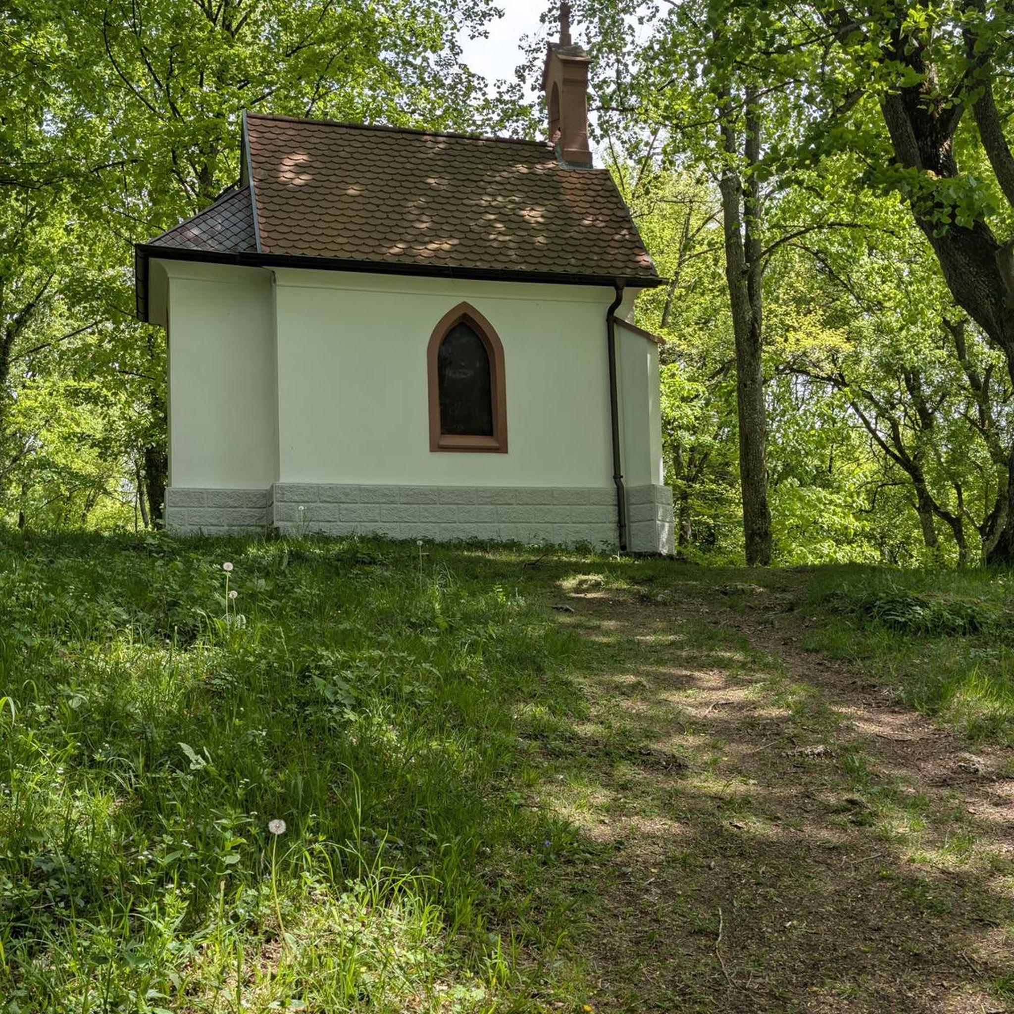
Yes, cycling through vineyards is a quintessential experience in the Wasserliesch area. The surrounding hills are adorned with numerous vineyards, an iconic feature of the Moselle region. Routes like Margarethen Chapel – Cycle Path to Tawern loop from Wasserliesch often wind directly through these picturesque landscapes, offering beautiful vistas and opportunities to stop at local wineries.
Are there routes that offer panoramic views of the rivers?
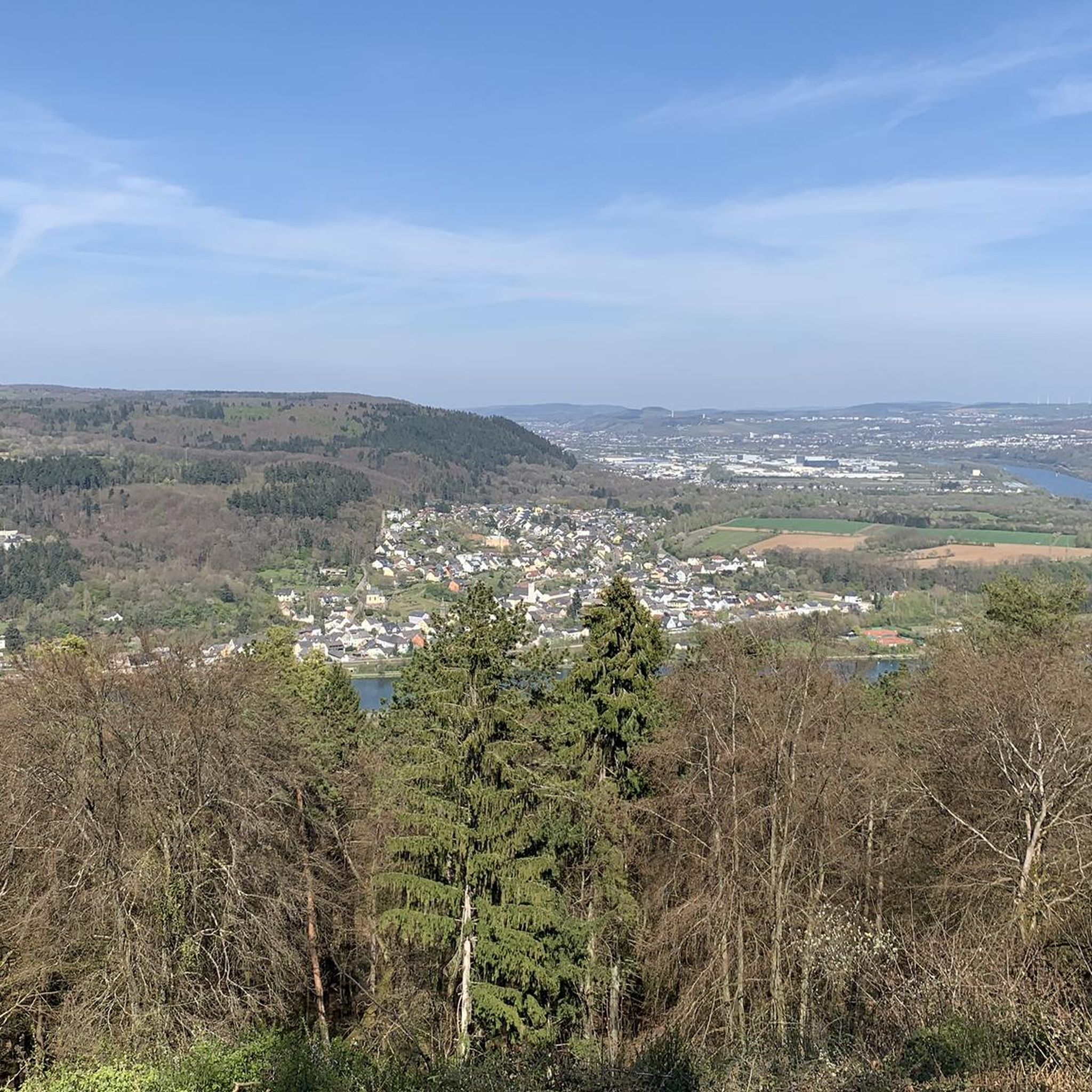
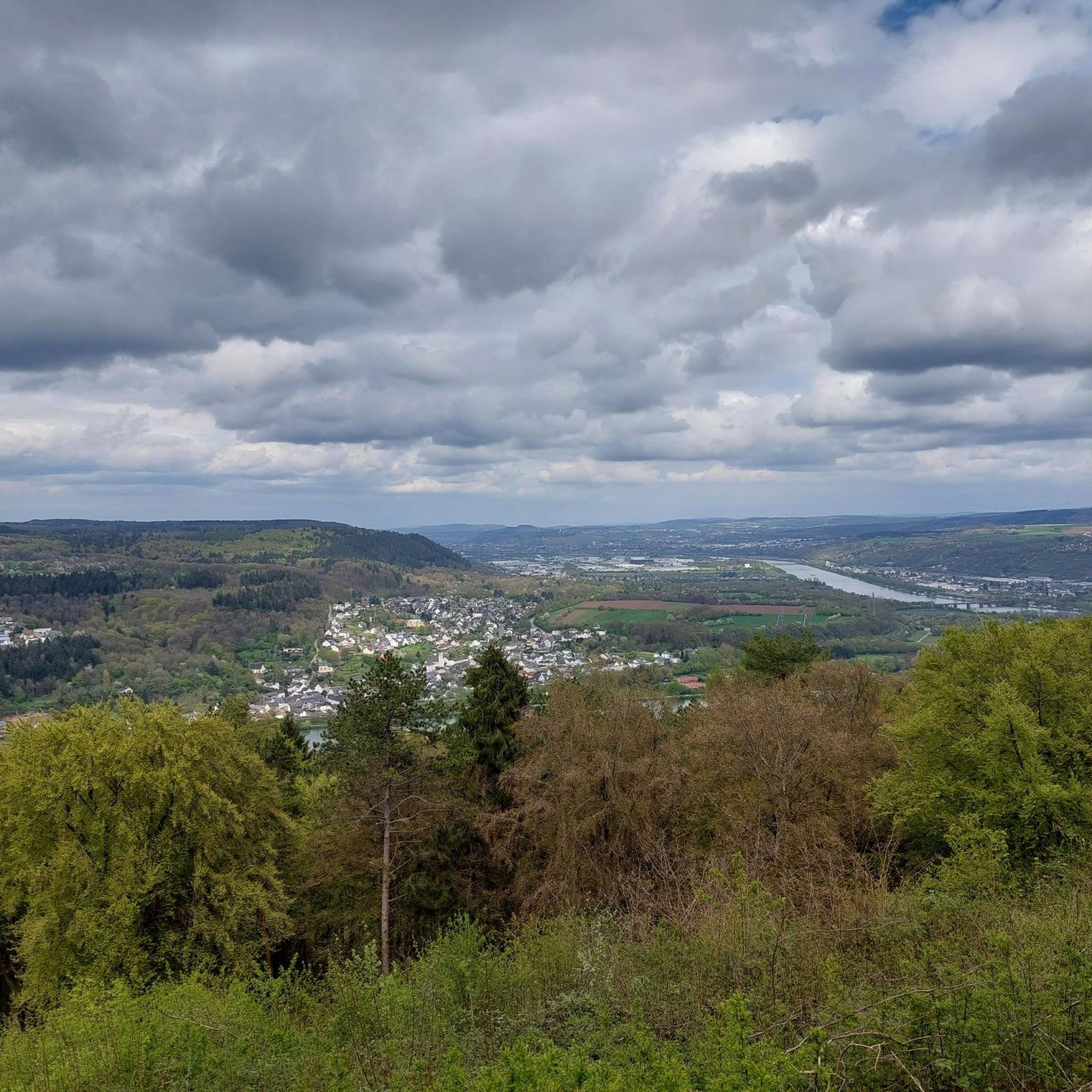
Many routes in Wasserliesch provide stunning views of the Moselle and Saar rivers. The village's location at the confluence of these two rivers means you'll often have expansive views of the river basins. The Wasserbillig–Oberbillig Ferry – View of the Moselle loop from Wasserliesch route, for example, is known for its scenic river views.
Are there circular touring cycling routes available from Wasserliesch?
Yes, many of the touring cycling routes around Wasserliesch are designed as loops, allowing you to start and end in the same location. Examples include the popular Wasserbillig–Oberbillig Ferry – View of the Moselle loop from Wasserliesch and the The Fisherman of Wasserbillig – Wasserbillig–Oberbillig Ferry loop from Wasserliesch, which is an easy 7.6 miles (12.2 km) option.
How can I reach the cycling routes around Wasserliesch using public transport?
Wasserliesch is well-connected, making it accessible by public transport. Regional trains and buses serve the area, often allowing for bicycle transport, though it's always advisable to check specific schedules and regulations with the local transport providers beforehand. Trier, a major transport hub, is also easily accessible from Wasserliesch.
Is there parking available near the touring cycling routes in Wasserliesch?
Yes, Wasserliesch typically offers various parking options, including designated parking areas within the village or near popular trailheads. Given its popularity as a cycling destination, you can usually find suitable places to park your vehicle before embarking on your tour.
What is the best time of year to go touring cycling in Wasserliesch?
The best time for touring cycling in Wasserliesch is generally from spring to autumn (April to October). During these months, the weather is usually mild and pleasant, ideal for enjoying the scenic river valleys and vineyards. The autumn season is particularly beautiful with the changing colors of the foliage and grape harvest.
Are there cafes or places to stop for refreshments along the cycling routes?
Yes, the Moselle region is known for its hospitality. Many villages and towns along the cycling routes, including Wasserliesch itself and nearby Konz, offer cafes, restaurants, and traditional 'Straußwirtschaften' (seasonal wine taverns) where you can stop for refreshments, local food, and wine tastings.
Most popular routes around Wasserliesch
Most popular attractions around Wasserliesch

Get inspired with the komoot mobile app


Explore more
Browse the best Cycling routes in other regions.
