The best walks and hikes around Calver
4.7
(826)
4,658
hikers
49
hikes
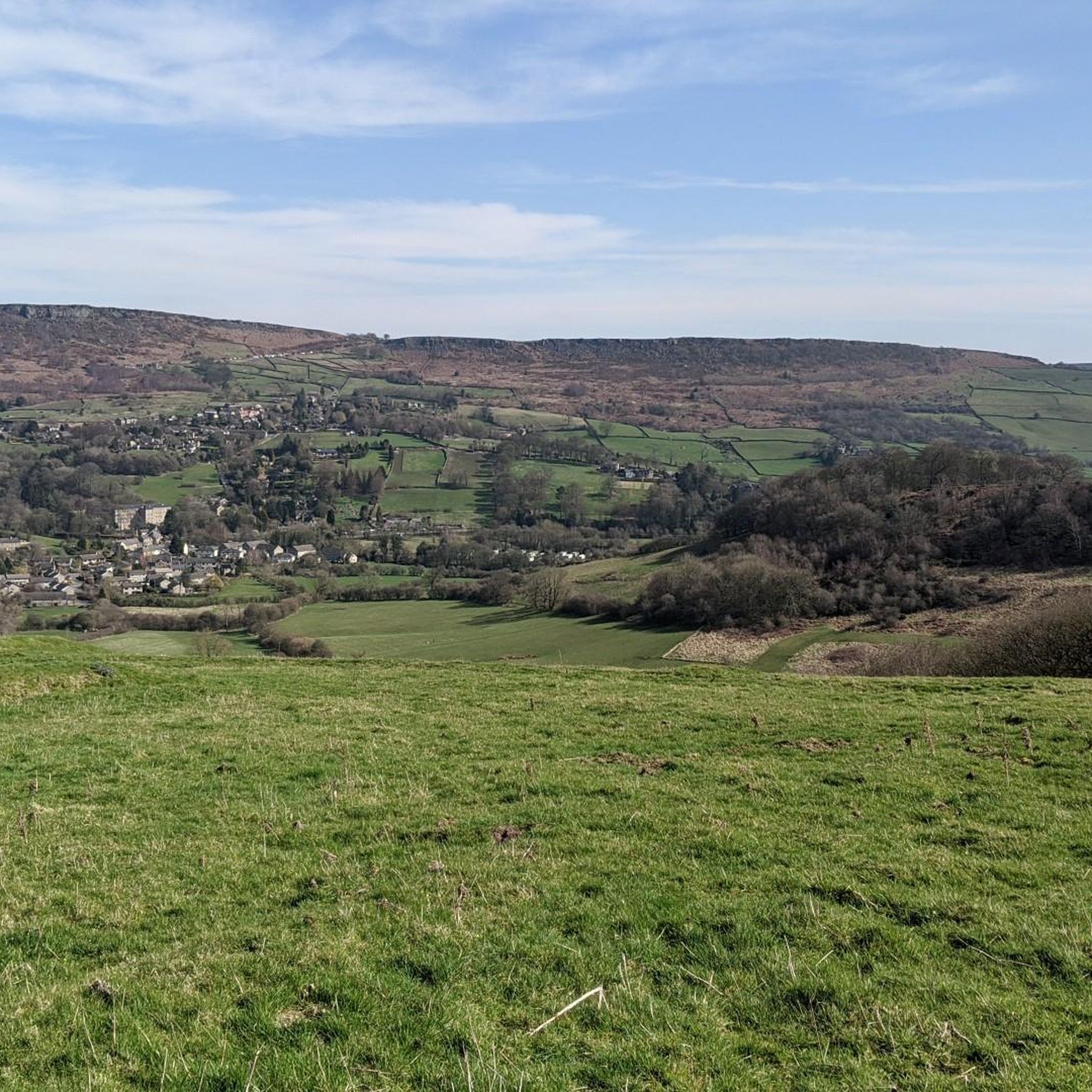
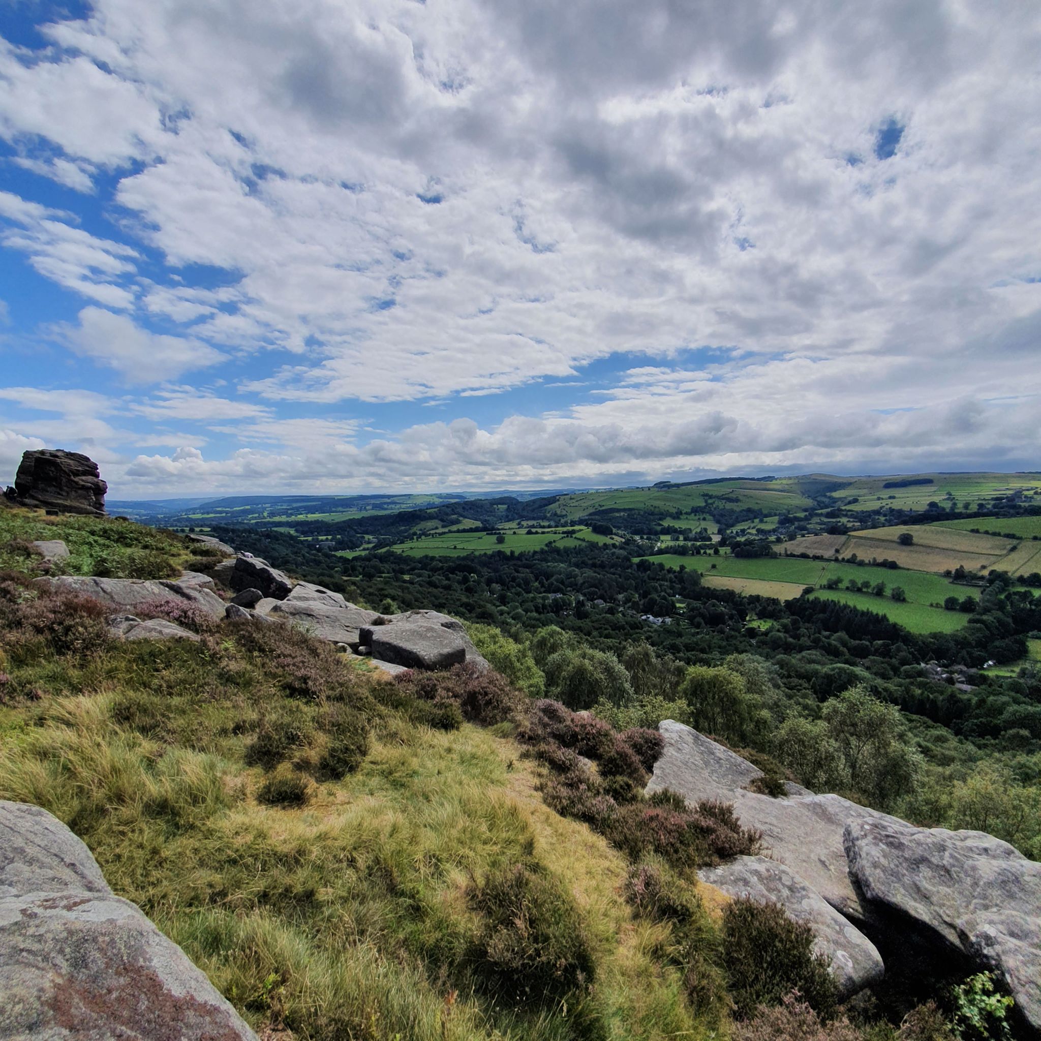
Hiking around Calver offers diverse trails within the Peak District National Park, characterized by the tranquil River Derwent and prominent gritstone escarpments. The area features a mix of valley walks and ridge-top paths, providing varied terrain for outdoor exploration. Hikers can experience the natural beauty of the Derwent Valley and the dramatic landscapes of gritstone edges like Curbar Edge and Froggatt Edge.
Best hiking trails around Calver
- The most popular hiking route is River Derwent loop from Froggatt — Peak District National Park, an easy 2.6 miles (4.1 km) trail that takes 1 hour 4 minutes to complete. This route offers pleasant riverside walking along the Derwent.
- Another top favourite among local hikers is Longstone Moor & the River Derwent loop from Calver — Peak District National Park, a moderate 9.8 miles (15.7 km) path. This trail explores both moorland and river scenery.
- Local hikers also love the Curbar Edge – Curbar Edge loop from Calver CP, a 4.3 miles (6.9 km) trail leading through gritstone escarpments, often completed in about 2 hours 5 minutes.
- Hiking around Calver is defined by gritstone edges, the River Derwent, and the scenic Derwent Valley. The network offers options for different ability levels, from easy strolls to more strenuous moderate hikes.
- The routes in Calver are highly rated by the komoot community with an average score of 4.6 stars from over 600 reviews. More than 3,900 hikers have used komoot to explore Calver's varied terrain.
Last updated: September 25, 2026
4.7
(30)
253
hikers
4.12km
01:04
30m
30m
Easy hike. Great for any fitness level. Easily-accessible paths. Suitable for all skill levels.
4.0
(2)
13
hikers
Moderate hike. Good fitness required. Mostly accessible paths. Sure-footedness required.

4.6
(56)
232
hikers
7.34km
02:12
210m
210m
Moderate hike. Good fitness required. Easily-accessible paths. Suitable for all skill levels.
4.8
(18)
79
hikers
11.7km
03:24
280m
280m
Moderate hike. Good fitness required. Easily-accessible paths. Suitable for all skill levels.
4.5
(4)
27
hikers
13.0km
03:51
390m
390m
Moderate hike. Good fitness required. Easily-accessible paths. Suitable for all skill levels.
Get access to more routes and recommendations from other explorers.
Already have an account?
Our route recommendations are based on thousands of hikes, rides, and runs completed by other people on komoot.
Start today with a free account
Your next adventure awaits.
Other adventures around Calver

Tips from the Community

A great atmosphere around this church.
0
0
So sad... But nice that they are not forgotten.
0
0

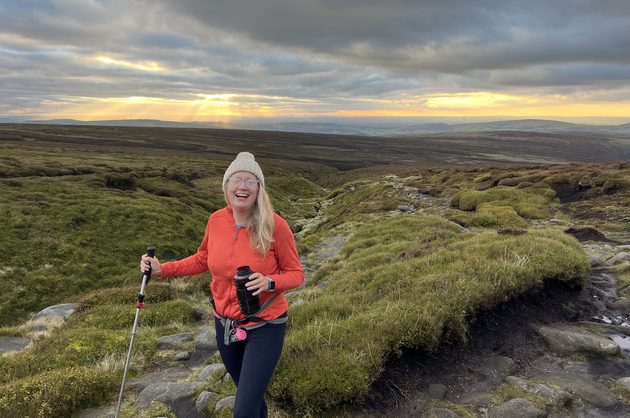
Another area that offers great views, I enjoyed the peace of being the only person there after staring the hike really early
0
0
Bit of a boggy path between White Edge and Curbar bit very passable
0
0
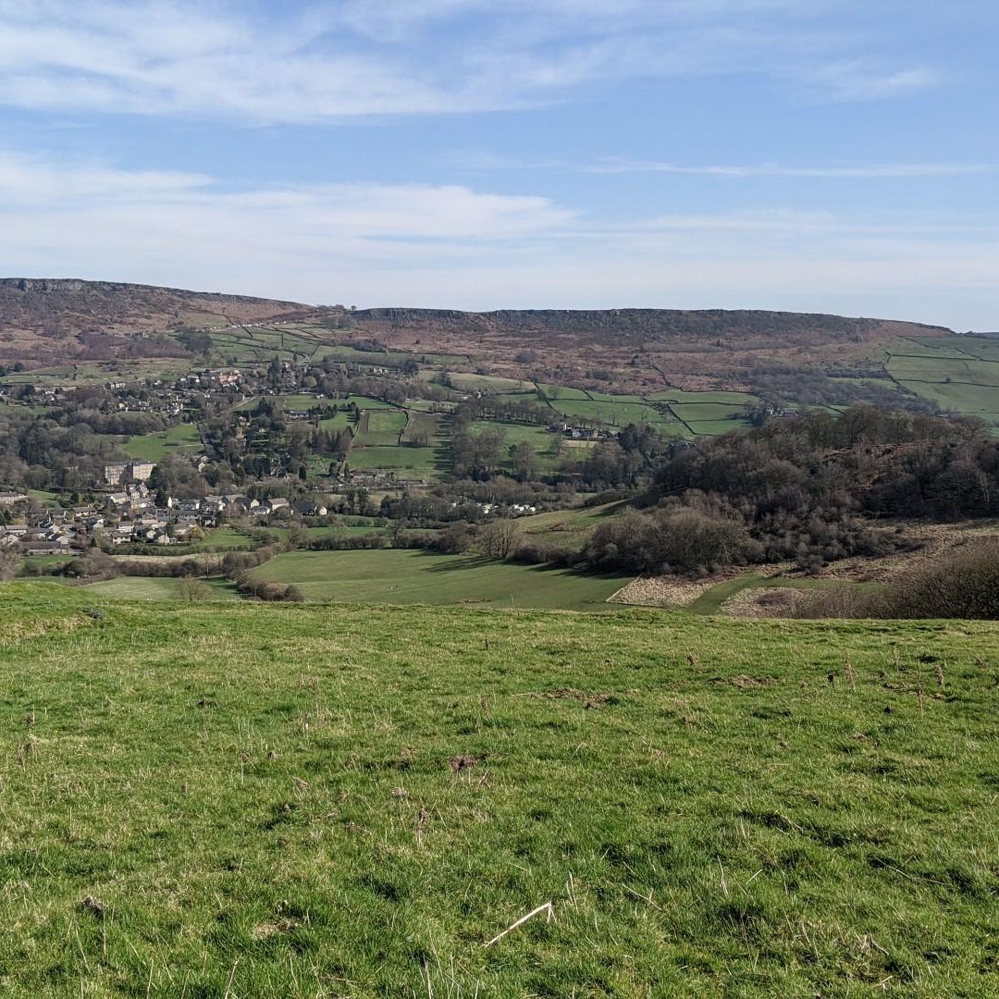
Great views looking down to Calver and Stoney Middleton, and a good reminder of the sacrifices people made
0
0

This is a lovely and fairly easy walk. My tip, when you reach the bog, you'll know when, don't follow the Komoot crossing point. Move 25 yards to the right to cross and that way you'll keep your feet dry.
0
0
Frequently Asked Questions
How many hiking trails are available around Calver?
Calver offers a wide selection of hiking trails, with over 45 routes available. These range from easy strolls along the River Derwent to more challenging moderate hikes across gritstone edges.
Are there family-friendly hiking options in Calver?
Yes, Calver has several family-friendly options. Easy routes like the River Derwent loop from Froggatt are suitable for all fitness levels, offering pleasant riverside walking. Shorter loops around Calver Weir are also great for families.
Can I bring my dog on the trails around Calver?
Many trails around Calver are dog-friendly, but it's important to keep dogs on a lead, especially when passing through farmland with livestock or in areas with ground-nesting birds. Always check local signage for specific rules within the Peak District National Park.
Are there any circular walks starting from Calver?
Yes, Calver is an excellent starting point for circular walks. A popular moderate option is the Curbar Edge – Curbar Edge loop from Calver CP, which takes you through the dramatic gritstone escarpments. Another is the Longstone Moor & the River Derwent loop from Calver, exploring both moorland and river scenery.
Where can I find parking for hiking trails in Calver?
Parking is generally available in and around Calver village, often near popular trailheads or designated car parks. For routes like the Curbar Edge loop, there are specific car parks such as the Calver Crossroads car park (Calver CP) mentioned in the route description.
What kind of natural features or viewpoints can I expect to see?
Calver is surrounded by stunning natural features. You can expect to see the tranquil River Derwent, dramatic gritstone escarpments like Curbar Edge and Froggatt Edge offering expansive views, and distinctive landmarks such as Higger Tor. The area also features intriguing caves like Robin Hood's Cave and Cucklet Delf Natural Arch.
Are there any waterfalls near Calver?
While Calver is known for its river walks, there are several notable waterfalls and weirs in the wider area. You can explore highlights such as Monsal Dale Weir or the River Lathkill — Twelve Weirs, which offer picturesque spots along the water.
What is the best time of year to hike around Calver?
Calver offers enjoyable hiking year-round. Spring brings wildflowers to the dales, while summer provides longer daylight hours. Autumn showcases vibrant foliage, and even winter can be beautiful with crisp air and occasional snow, though some higher routes may require more preparation. Always check weather conditions before heading out.
Are there any historical sites or landmarks to visit on a hike?
Yes, several routes incorporate historical interest. The village of Eyam, known for its plague history, can be reached via a moderate hike like the Eyam Stocks – Plague Cottage loop from Calver CP. Calver Mill, an early 19th-century cotton mill, is also a local landmark often included in shorter walks.
What do other hikers say about the trails in Calver?
The trails in Calver are highly regarded by the komoot community, with an average rating of 4.6 stars from over 600 reviews. Hikers frequently praise the diverse landscapes, from tranquil riverside paths to the dramatic gritstone edges, and the well-maintained routes suitable for various abilities.
Can I reach hiking trails in Calver using public transport?
Calver is accessible by public transport, with bus services connecting it to larger towns in the Peak District. These services can drop you directly in the village, providing access to many trailheads. It's advisable to check current bus timetables for the most up-to-date information on routes and schedules.
Are there any longer, more challenging hikes available?
For those seeking a more challenging experience, Calver offers longer, moderate hikes. The White Edge – Calver Weir loop from Froggatt is an 11.6 km route that provides a more strenuous outing with varied terrain and scenic views.
Most popular routes around Calver
Most popular attractions around Calver

Get inspired with the komoot mobile app


Explore more
Browse the best Hikes in other regions.
