The 8 Most Amazing Peaks around Brackenfield
Best mountain peaks around Brackenfield are characteristic of the rolling landscapes found in this part of England, offering elevated points and hills for walking. Brackenfield, a village in Derbyshire, England, is situated amidst scenic countryside near the Peak District. The area features notable elevated points that provide opportunities for walking and offer rewarding views. These locations are recognized for their natural beauty and panoramic vistas.
Best mountain peaks around Brackenfield
- The most popular mountain peaks is High Tor and Giddy…
Last updated: October 4, 2026
High Tor and Giddy Edge
Highlight (Segment) • Viewpoint
Tip by

The Miner Statue
Highlight • Monument
Tip by

Sign up now to discover places like this
Get recommendations on the best single tracks, peaks, & plenty of other exciting outdoor places.
Alport Heights Summit
Highlight • Viewpoint
Tip by

Bolehill Trig Point
Highlight • Monument
Tip by

Ashover Rock (The Fabrick) Trig Point and Doomsday Bunker
Highlight • Summit
Tip by

Sign up for free to discover even more peaks around Brackenfield.
Already have an account?
Start today with a free account
Your next adventure awaits.
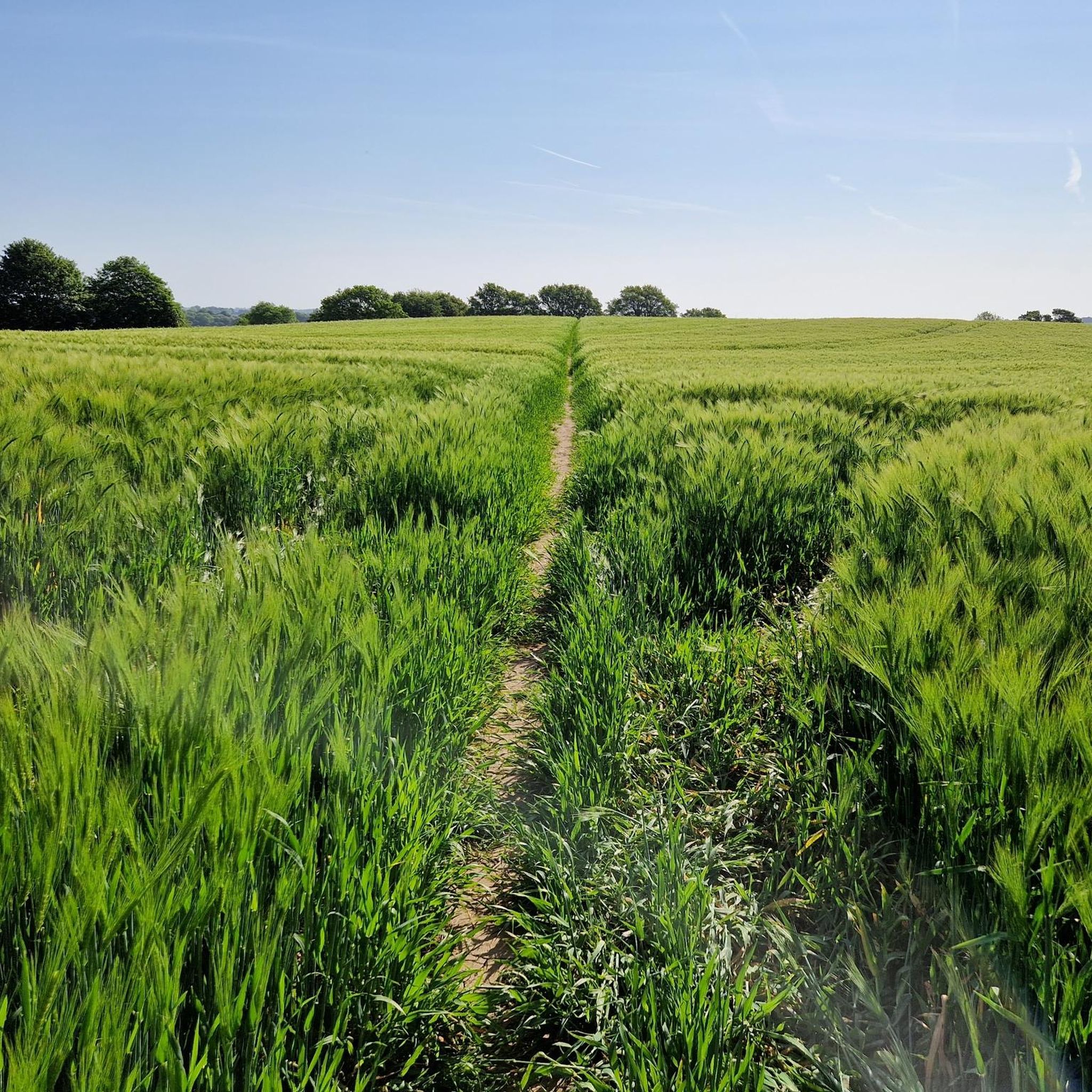
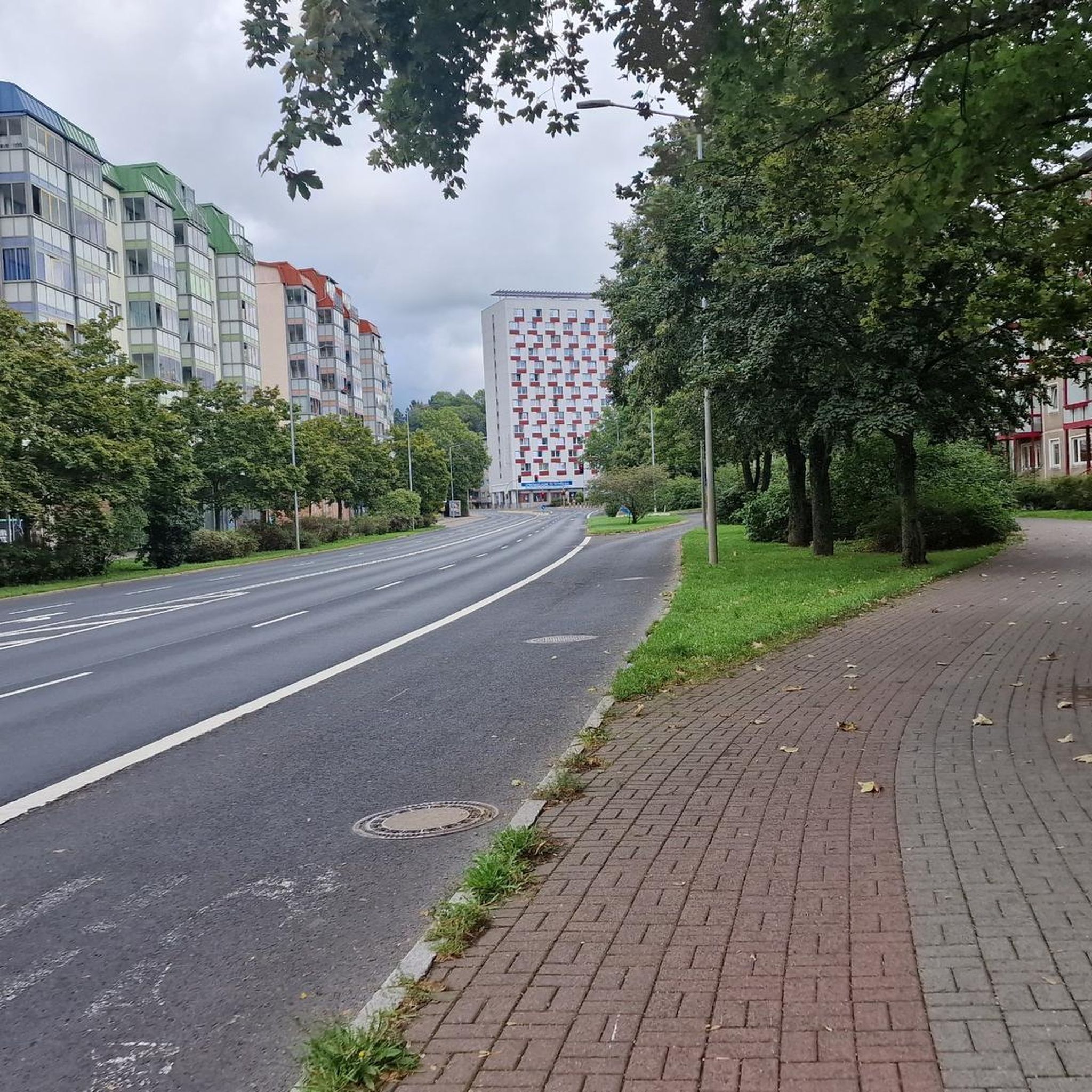
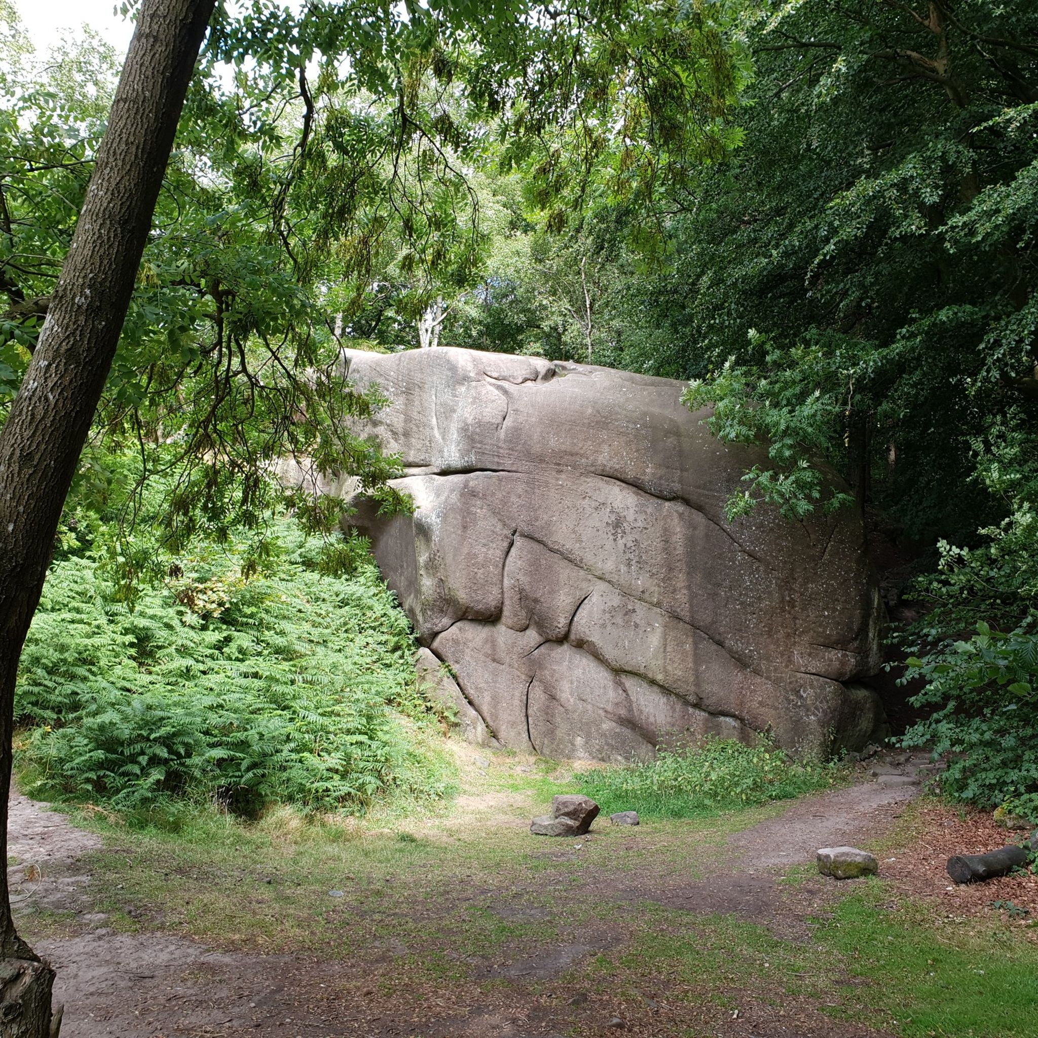
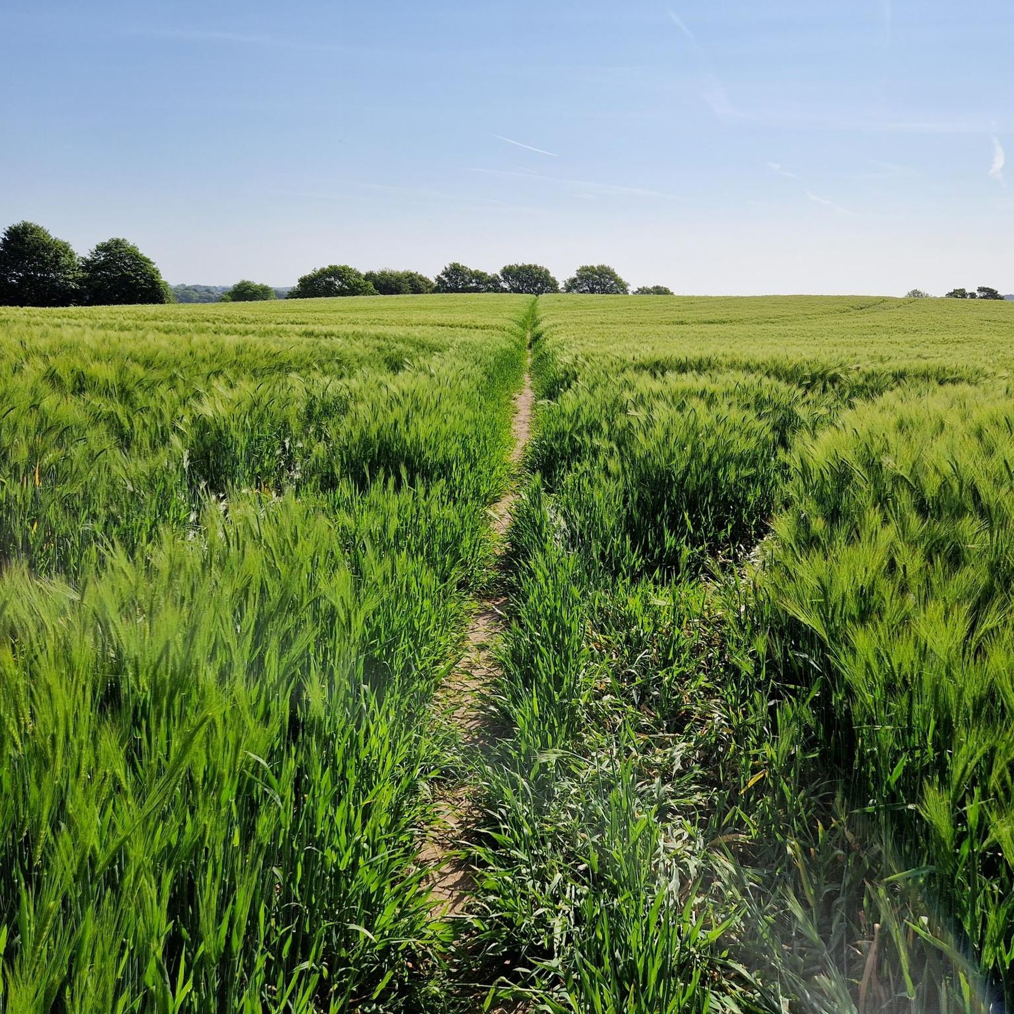
Tips from the Community

TP0905 - Ashover | TrigpointingUK https://share.google/eE5DBfWbZ91rT7YxV
0
0

Take the mtb route up/down through the wood to the North East of the statue, look out for it near the bench on the main gravel track
0
0


19th century pleasure ground which exploited the dramatic qualities of the Derwent valley. Peter Arkwright of Willersley Castle enclosed the grounds c 1860 and constructed pedestrian paths from a new entrance on the south side approached from the bridge to Matlock Bath railway station. The entrance from Starkholmes Road was retained and could be used by carriages. A pathway was formed through Fern Cave (scheduled ancient monument) and another on a narrow ledge along part of the cliff face. In 1879 the grounds were leased to the Matlock and High Tor Recreation Grounds Company Ltd and Milner of London was retained to supervise landscaping. Arkwright's Grand Walk, also used by carriages, was created, leading south to the summit from a gateway in Pig Tree Lane, now Pic Tor Lane. A refreshment room was erected near the summit, tennis and quoit or skittle grounds were constructed close to a modified southern entrance and additional paths put in with a broad flight of steps.
0
0

That's what it is! I thought it was a hobbit house or similar lol
1
0

Alas, the previously awesome views from the trig point are long gone due to tree growth. Today the trig point is a waypoint only; for views head over to Black Rocks.
0
0
There is a Trig point and a Doomsday Bunker, which is locked from the inside to prevent access, The shaft and ventilation shaft was clad in Derbyshire stone, but locals say that the stone that was used to build it was stolen long ago, hence the reason for it being locked. At 299m above sea level, the (Rock) Fabrick is the highest point in the area and the views are stunning.
1
0
Bolehill (Cromford Moor) is 323 metres high and is one of the 95 Ethels (Peak District Hills).
0
0
Frequently Asked Questions
Which elevated points near Brackenfield offer the most impressive views?
For dramatic vistas, High Tor and Giddy Edge near Matlock Bath provide spectacular views over the River Derwent. Alport Heights Summit is another high point offering extensive views in all directions. Additionally, Ashover Rock (The Fabrick), at 299m, also boasts stunning panoramic views.
Are there any historical landmarks among the elevated points near Brackenfield?
Yes, The Miner Statue, located on Silverhill, is a man-made monument on a former mine spoil heap, now landscaped with footpaths and a viewpoint. Crich Stand, though not listed as a highlight in the guide, is a significant memorial to the Sherwood Foresters Regiment and offers wide-ranging views. Ashover Rock (The Fabrick) also features a Doomsday Bunker, adding a historical element to its summit.
What kind of outdoor activities can I do near the elevated points around Brackenfield?
The area around Brackenfield is excellent for walking and cycling. You can find numerous hiking trails, ranging from easy to moderate, such as the 'Ogston Reservoir – Ashover Rock (The Fabrick) loop' or the 'River Amber Stone Bridge loop'. For mountain biking, routes like the 'Quarry Downhill Trail' are available. Explore more options on the Hiking around Brackenfield and MTB Trails around Brackenfield guide pages.
Are the elevated points around Brackenfield suitable for families?
Yes, several elevated points are considered family-friendly. The Miner Statue and Alport Heights Summit are noted for being accessible to families. However, paths like Giddy Edge at High Tor are unfenced in parts and require caution with small children.
When is the best time to visit the elevated points around Brackenfield?
The region is beautiful year-round, but spring and summer typically offer the most pleasant weather for walking and enjoying the views. Autumn brings vibrant foliage, while winter can offer crisp, clear days, though some paths may be muddy or icy. Always check local weather forecasts before heading out.
What is the terrain like on the elevated points around Brackenfield?
The terrain varies from rolling landscapes and gentle country paths to more strenuous uphill routes. You'll encounter limestone crags, gravel paths, and walking trails through plantations and moorland. Some areas, like Giddy Edge, feature narrow, exposed paths, while others, like Alport Heights Summit, are reached via gravel paths.
Can I bring my dog on walks to the elevated points near Brackenfield?
Many trails and elevated points in the Peak District area are dog-friendly. However, it's always advisable to keep dogs on a lead, especially near livestock, on narrow paths, or in areas with wildlife. Always check specific access rules for each location you plan to visit.
Are there easy or beginner-friendly walks to elevated points near Brackenfield?
Yes, there are several easier walks. While some routes involve uphill sections, many paths through the rolling landscapes are suitable for beginners. For example, the area around The Miner Statue has landscaped footpaths. The 'River Amber Stone Bridge loop' is also rated as an easy hiking route nearby.
Where can I find parking for walks to the elevated points near Brackenfield?
Parking is generally available at various starting points for walks in the region. For specific routes, look for designated car parks in villages or near popular trailheads. For instance, some routes mentioned in the hiking guide start from Brackenfield CP (Car Park).
What natural features can I expect to see on the elevated points around Brackenfield?
You'll encounter diverse natural beauty, including limestone crags like High Tor, extensive moorland, and woodlands such as the Big Plantation near Bolehill Trig Point. The elevated positions provide panoramic views of the Derbyshire countryside, rivers, and reservoirs.
Are there cafes or pubs near the elevated points for refreshments?
While specific cafes directly on the summits are rare, many villages and towns surrounding Brackenfield, such as Matlock Bath, Wirksworth, and Ashover, offer pubs and cafes where you can find refreshments before or after your walk. It's a good idea to plan your route to pass through or near these amenities.
What do visitors enjoy most about the elevated points near Brackenfield?
Visitors consistently praise the rewarding panoramic views from the summits, the diverse walking opportunities, and the natural beauty of the Derbyshire landscape. The thrill of paths like Giddy Edge and the historical significance of sites like The Miner Statue are also frequently highlighted.
Most popular routes around Brackenfield
Most popular attractions around Brackenfield

Get inspired with the komoot mobile app


Explore more
See even more amazing summits around Brackenfield with these guides:
