The best walks and hikes around Weidenberg
4.5
(370)
1,513
hikers
170
hikes
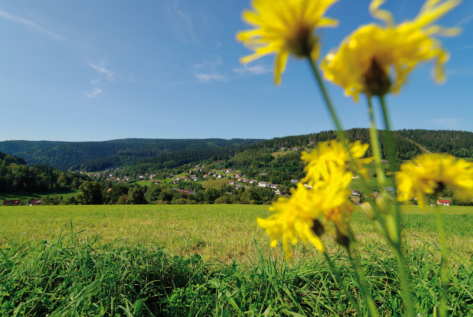
Hiking around Weidenberg offers diverse opportunities within the Fichtelgebirge mountains, characterized by varied terrain and significant elevation changes. The region features the Red Main River Valley, providing scenic paths, and the Königsheide Plateau, a starting point for many trails. Hills like Isakraberg and Rindschenberg contribute to the landscape, alongside natural forest areas such as Aurangen.
Best hiking trails around Weidenberg
- The most popular hiking route is Weidenberger Erdblicke (Weidenberg), a 5.9 miles (9.5 km) trail that takes 3 hours…
Last updated: October 1, 2026
4.6
(29)
106
hikers
9.49km
03:05
130m
130m
Moderate hike. Good fitness required. Mostly accessible paths. Sure-footedness required.
4.6
(19)
46
hikers
12.2km
03:41
380m
380m
Moderate hike. Good fitness required. Easily-accessible paths. Suitable for all skill levels.

4.0
(9)
47
hikers
10.7km
03:05
270m
270m
Moderate hike. Good fitness required. Easily-accessible paths. Suitable for all skill levels.
4.3
(4)
27
hikers
14.5km
04:03
280m
280m
Moderate hike. Good fitness required. Easily-accessible paths. Suitable for all skill levels.
4.2
(12)
31
hikers
Moderate hike. Good fitness required. Easily-accessible paths. Suitable for all skill levels.
Get access to more routes and recommendations from other explorers.
Already have an account?
Our route recommendations are based on thousands of hikes, rides, and runs completed by other people on komoot.
Start today with a free account
Your next adventure awaits.
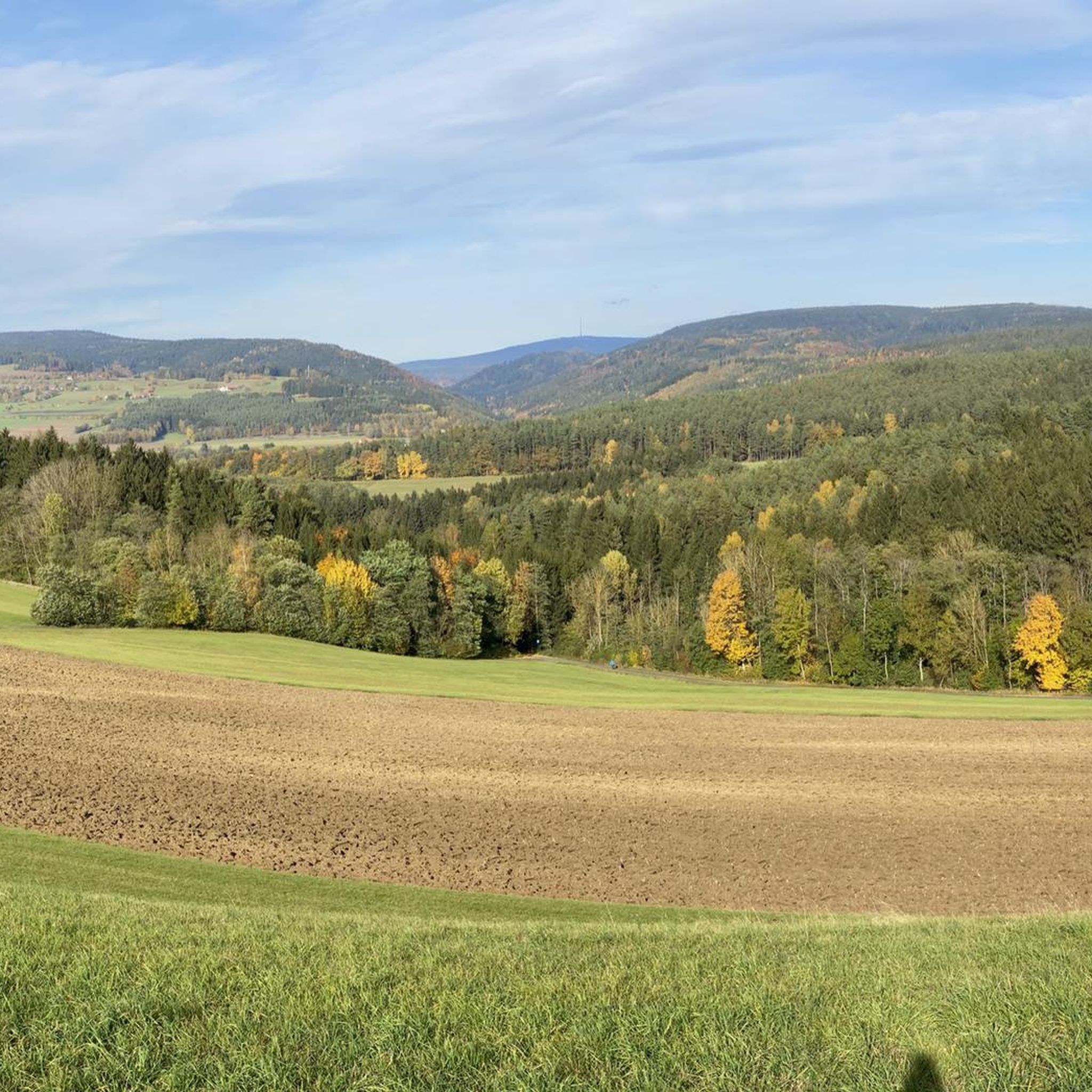

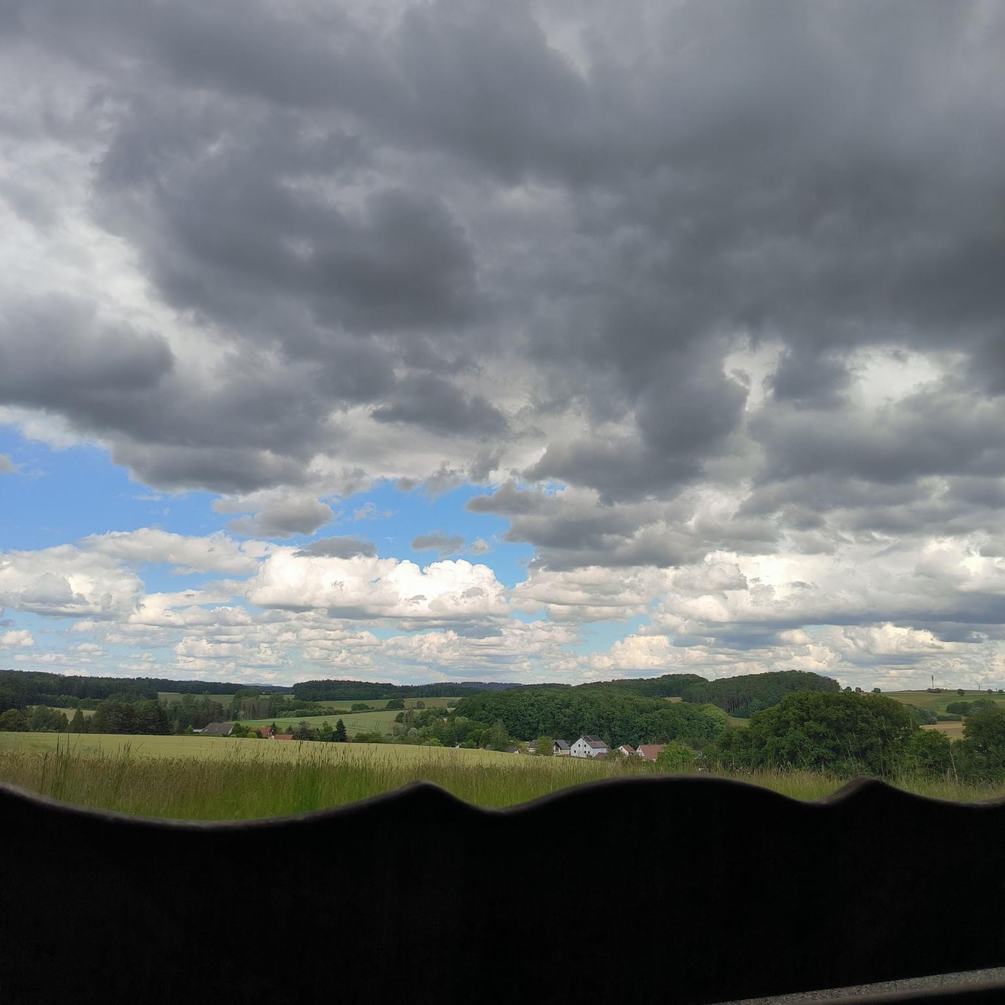
Other adventures around Weidenberg

Tips from the Community

The water emerges as a cool spring and feeds the Finstergraben, which is only about 900 meters long and flows into the Warme Steinach near Neuwelt. A bench at the shady spring invites you to take a break – especially pleasant on warm hiking days.
5
0
The Wurzbachweiher is reminiscent of 18th-century logging. As a so-called "Schwallweiher" (surge pond), it was used to dam the water of the Wurzbach in order to flush the felled wood downstream towards Steinach with a targeted flood wave. Standing at the pond today, you can still clearly see at the outlet how shallow and narrow the stream actually is – it’s hard to imagine the enormous water pressure that once had to be generated here to move entire tree trunks. The idyllic spot is therefore not only a great resting place, but also an exciting insight into the harsh work of that time.
9
0
A somewhat hidden resting place at 672 meters. After a clearing action, there is now a view over the Warme-Steinach valley again. A wooden bench invites you to take a breather.
8
0

A nice covered resting place by the pond. Seems relatively new.
3
0


very beautiful old buildings and cobblestones, great view of the Untermarkt, the Weidenberg administrative community is located here
0
0
Museum in Weidenberg directly on the Warmen Steinach https://www.fichtelgebirge.bayern/detail/id=5f802f5a3e91d003a390b6b3
0
0

The Schlehenberg, like the Eichelberg, is a small hill and a popular destination for day trips, as well as a small district of Bayreuth. It lies southeast of the city center and is a traditional hiking area. A well-known establishment is the Waldgaststätte Schlehenberg, a rustic inn that underscores the hill's history as a tourist destination.
5
0
Frequently Asked Questions
How many hiking trails are available around Weidenberg?
Weidenberg offers a wide variety of hiking opportunities, with over 170 trails available. These range from easy strolls to more demanding mountain hikes, ensuring options for all fitness levels.
Are there easy hiking trails suitable for beginners or casual walkers in Weidenberg?
Yes, Weidenberg has numerous easy trails perfect for beginners or those seeking a relaxed walk. For instance, the Path Along the Upper Main – Wooden Footbridge Over Stream loop from Neunkirchen am Main is an easier route suitable for all fitness levels. Another very easy option is the 3.4 km "Mühlenweg Weidenberg – Rund um die Scherzenmühle," which takes you through the historic Obermarkt and the Aurangen natural forest area.
What kind of natural landscapes can I expect to see while hiking in Weidenberg?
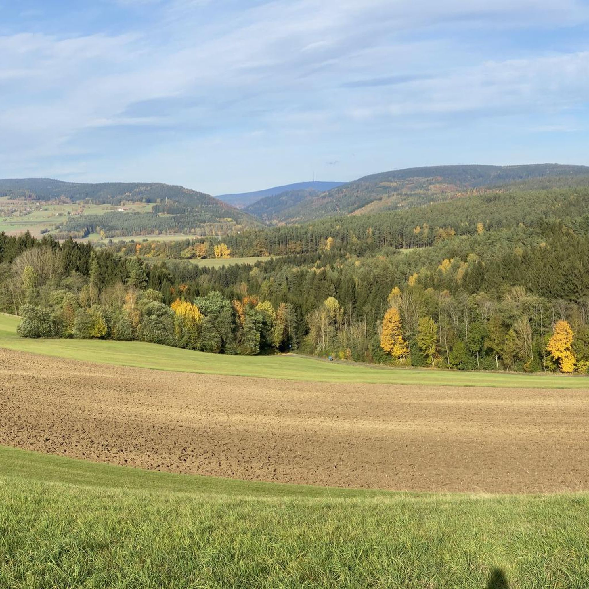
Weidenberg is nestled at the foot of the Fichtelgebirge mountains, offering diverse and impressive landscapes. You'll encounter varied terrain, from the scenic Red Main River Valley with its reddish-brown sediments to the high Königsheide Plateau and extensive Fichtelgebirge forests. Notable features include the Weidenberger Kulm with its splendid views, and unique geological formations like the "blockmeer" (sea of boulders) at the Nusshardt Summit.
Are there any family-friendly hiking routes in Weidenberg?
Yes, Weidenberg offers several routes suitable for families. The Path Along the Upper Main – Wooden Footbridge Over Stream loop is an easier option. Additionally, the Naturlehrpfad Weidenberg (Nature Trail Weidenberg) is an easy 4.2 km trail with display boards providing educational information about local flora, making it engaging for children.
Can I find circular hiking routes around Weidenberg?
Many of the trails around Weidenberg are designed as circular routes, allowing you to start and end at the same point. Examples include the Ruins of Wurzstein Castle – Wurzbach Pond loop from Wanderparkplatz Sophienthal and the Viewpoint Bench at Rügersberg – Three Shepherds' Stone loop from Rügersberg.
What are some interesting landmarks or attractions to see along the hiking trails?
Hiking around Weidenberg offers opportunities to discover various landmarks. You can explore the ruins of Wurzstein Castle, visit the Nusshardt Summit and Rock Formations with its unique 'blockmeer', or see the Weißmain Spring. The region also features cultural attractions like historic half-timbered houses and the town church of St. Michael.
Are there any trails with good viewpoints in the Weidenberg area?
Absolutely. The ascent of the Weidenberger Kulm is highly recommended for its splendid views of the western Fichtelgebirge and the Steinachtal (Steinach Valley). Another route, the View of Ochsenkopf – Rabenstein Memorial loop, offers views towards the prominent Ochsenkopf mountain.
What do other hikers say about the trails in Weidenberg?
The hiking routes in Weidenberg are highly regarded by the komoot community, holding an average rating of 4.6 stars from over 300 reviews. Hikers often praise the diverse terrain, well-maintained paths, and the beautiful natural scenery of the Fichtelgebirge mountains and the Red Main River Valley.
Are there any themed trails or educational routes in Weidenberg?
Yes, Weidenberg features several themed trails. The Glaswanderweg (Glass Hiking Trail) is a 47 km route of industrial-historical interest. The Naturlehrpfad Weidenberg (Nature Trail Weidenberg) provides information about local flora. Additionally, some routes, like the "Reizensteinrunde," are part of the Geo-Erlebnisweg (Geo-Adventure Trail), offering insights into the region's geological history. You can also explore the Weidenberger Museumsweg to discover local museums and art sites.
What is the typical duration for a hike in Weidenberg?
Hiking durations in Weidenberg vary widely depending on the trail's length and difficulty. For example, the popular Weidenberger Erdblicke (Weidenberg) takes approximately 3 hours 5 minutes to complete its 9.5 km. Shorter, easier walks like the "Mühlenweg Weidenberg – Rund um die Scherzenmühle" can be done in about an hour, while longer routes will take more time.
Are there any specific natural features or unique geological formations to look out for?
The Fichtelgebirge region around Weidenberg is known for its unique geological formations. Keep an eye out for the "blockmeer" (sea of boulders) at the Nusshardt Summit and Rock Formations, which includes a cover cave called the Nußhardt Stube. The reddish-brown sediments carried by the Red Main, particularly visible at the Bodenmühlwand, also contribute to the unique character of the landscape.
Most popular routes around Weidenberg
Most popular attractions around Weidenberg

Get inspired with the komoot mobile app


Explore more
Browse the best Hikes in other regions.
