The best walks and hikes around Weißendorf
4.6
(4314)
15,580
hikers
22
hikes
Hiking around Weißendorf offers diverse terrain, characterized by rolling hills, picturesque forests, and charming villages. The region is situated on the edge of the Thuringian Slate Mountains, providing varied landscapes from river walks to more elevated trails. Key natural features include the Regnitz and Weida river valleys, unique pond landscapes, and areas like the Mohrhof bird sanctuary.
Best hiking trails around Weißendorf
- The most popular hiking route is View from the Kranich Rest Area – Weißer Stein Viewpoint loop from…
Last updated: June 26, 2026
4.6
(33)
123
hikers
Moderate hike. Good fitness required. Easily-accessible paths. Suitable for all skill levels.
4.6
(12)
46
hikers
Moderate hike. Good fitness required. Easily-accessible paths. Suitable for all skill levels.

Sign up for free
4.7
(124)
441
hikers
8.39km
02:18
130m
130m
Moderate hike. Good fitness required. Easily-accessible paths. Suitable for all skill levels.
5.0
(1)
11
hikers
Easy hike. Great for any fitness level. Easily-accessible paths. Suitable for all skill levels.
16
hikers
Easy hike. Great for any fitness level. Easily-accessible paths. Suitable for all skill levels.
Get access to more routes and recommendations from other explorers.
Sign up for free
Already have an account?
Our route recommendations are based on thousands of hikes, rides, and runs completed by other people on komoot.
Start today with a free account
Your next adventure awaits.
Login or Signup
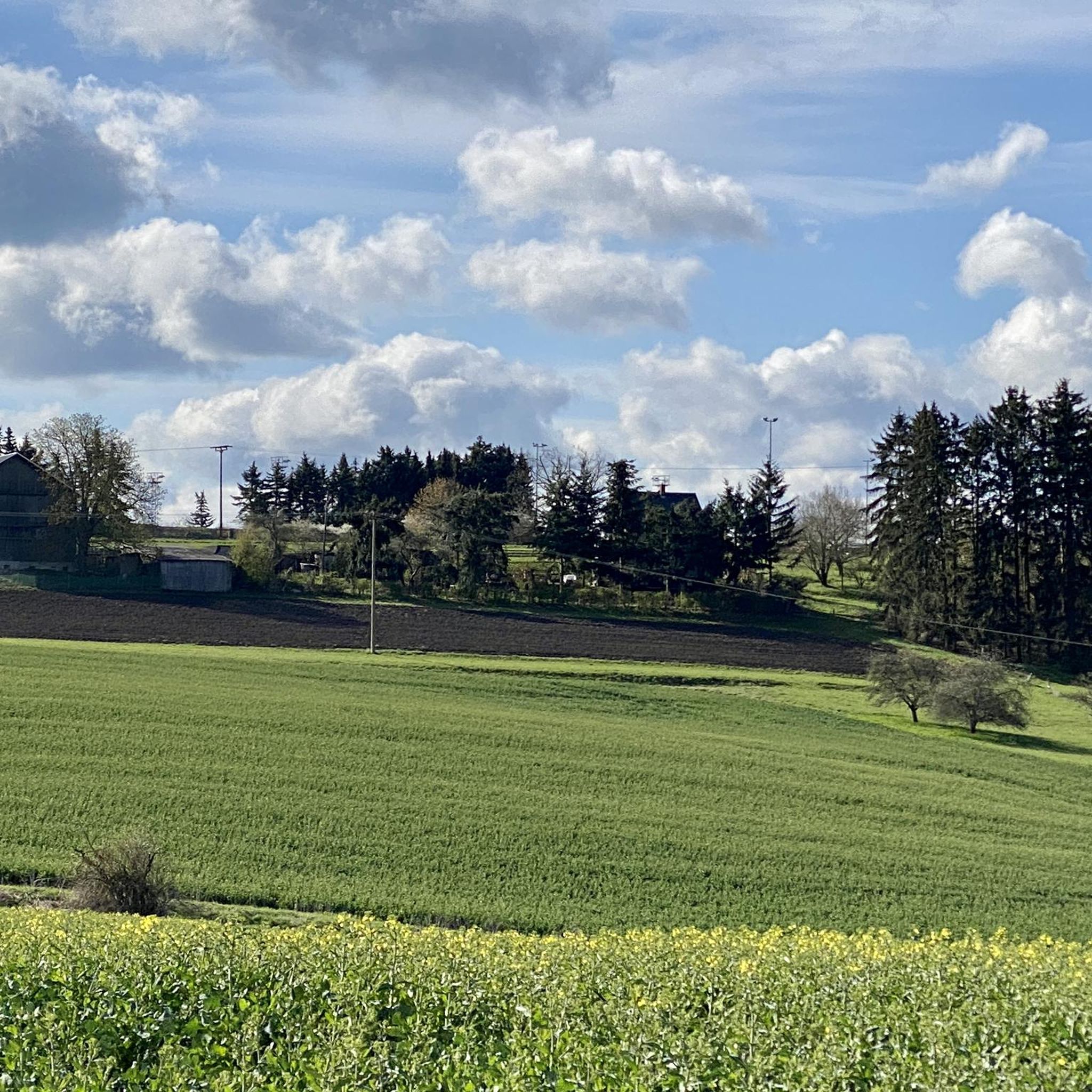
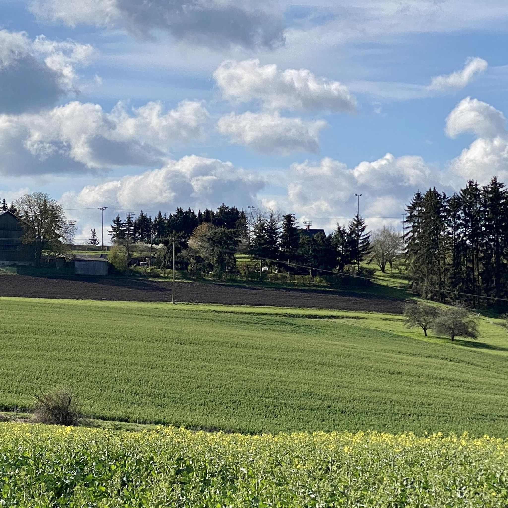
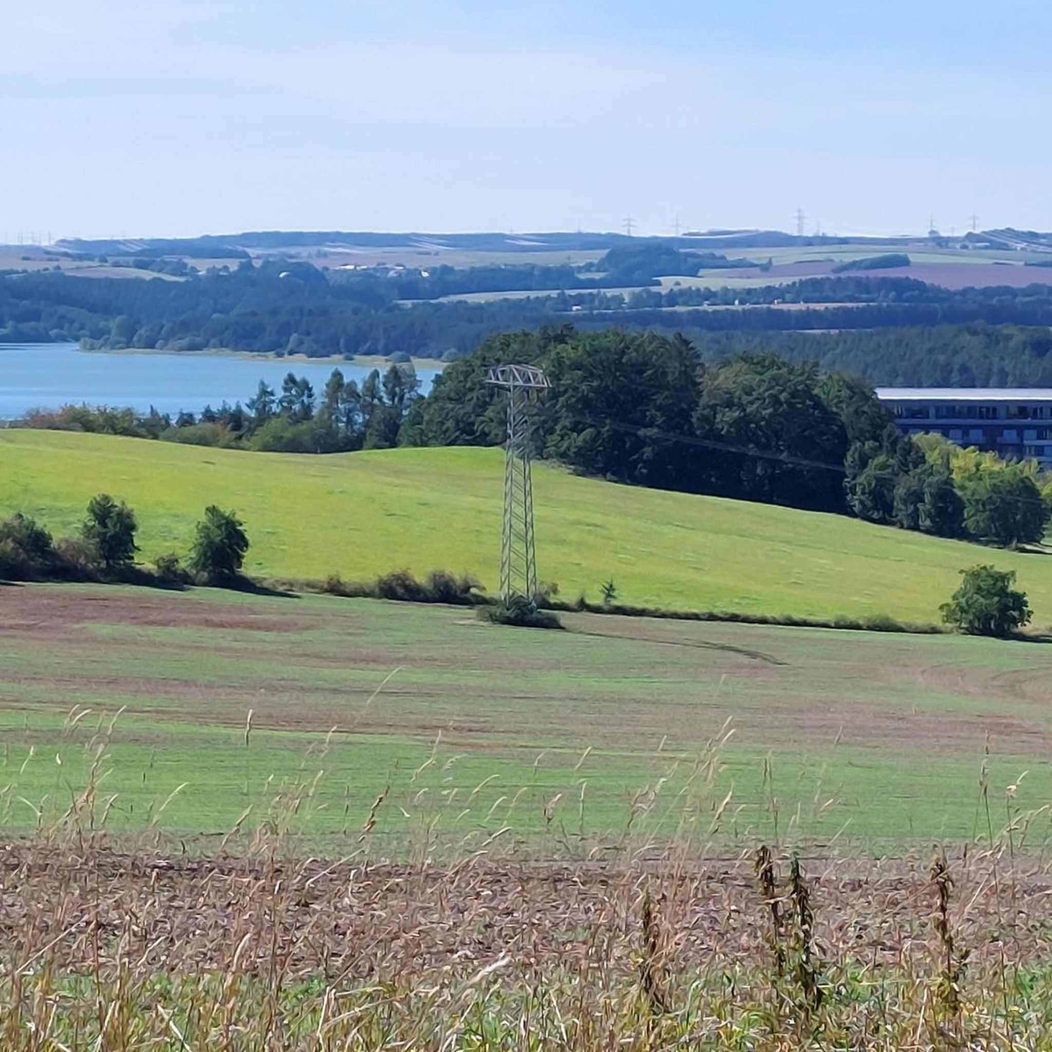
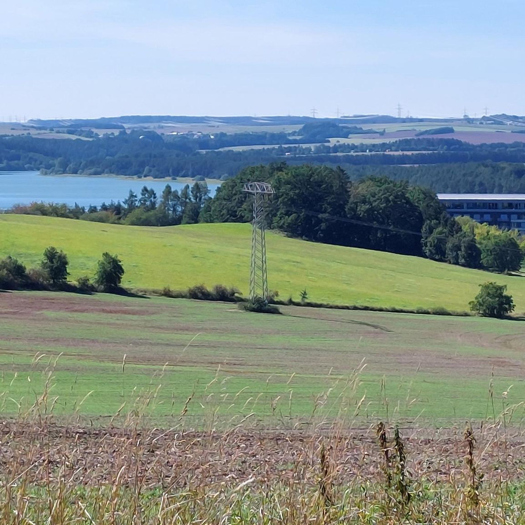

Tips from the Community

Great idea for 📚 swapping.
17
0

Always a nice place to relax.
0
0

A bit steep, but the view makes up for it
0
0
Beautiful forest path, view of the water depending on the vegetation
0
0

Currently difficult to reach due to fallen trees lying across the road
0
0
Decision point...do you want to go to the Weida Dam or the Zeulenroda Dam?😉
0
0

View of the "sea" and swimming possibility for dogs
0
0

You are welcome to stop here
1
1
Frequently Asked Questions
How many hiking trails are available around Weißendorf?
Weißendorf offers a network of nearly 20 hiking trails, catering to various preferences and skill levels. Most of these routes are considered easy, making the area accessible for many hikers.
What kind of terrain can I expect on hikes in Weißendorf?
The region around Weißendorf is characterized by rolling hills, picturesque forests, and charming villages. Situated on the edge of the Thuringian Slate Mountains, you'll find diverse terrain ranging from leisurely river walks along the Regnitz and Weida to more elevated trails. Unique pond landscapes, such as those in the Aischgrund, also feature prominently.
Are there any easy hiking trails suitable for beginners or families?
Yes, Weißendorf has many easy trails perfect for beginners and families. For instance, the Weida River and Wooden Bridge – Scramble Path Teufelsberg loop from Zeulenroda-Triebes is an easy 6.3 km path that follows the scenic Weida River. The Regnitz river valley also offers popular, relatively flat routes ideal for families.
What are the best times of year to go hiking in Weißendorf?
The best seasons for hiking in Weißendorf are spring and autumn, when nature is vibrant with blossoming flowers or a blaze of color from changing leaves. Even winter transforms the area into a charming, snow-covered landscape, offering a different kind of beauty for those who enjoy colder weather hikes.
Are there any circular hiking routes in the Weißendorf area?
Yes, many routes in Weißendorf are circular, allowing you to start and end in the same location. An example is the Weißer Stein Viewpoint – View from the Kranich Rest Area loop from Weißendorf, an easy 4.9 km trail. The Aischgrund also features circular routes past its distinctive pond landscapes.
What natural features or landmarks can I see while hiking?
Hikers can explore a variety of natural features and landmarks. You might encounter the unique pond landscape of the Aischgrund, the Weida Dam, or the Auma Reservoir. The Moor Experience Trail in Pöllwitzer Forest offers insights into local ecosystems, and the Pöllwitzer Moor Observation Tower provides scenic views.
Are there any historical sights along the hiking trails?
Yes, some hiking routes in Weißendorf pass by cultural landmarks. You can discover the Burgstall castle ruins near Roßbach, offering a glimpse into the past, or the fortified church Kästel, which is featured on certain circular routes.
What do other hikers say about the trails in Weißendorf?
The hiking trails in Weißendorf are highly rated by the komoot community, with an average score of 4.8 stars from over 20 reviews. Hikers often praise the diverse landscapes, the well-maintained paths, and the variety of routes suitable for different fitness levels.
Are there any longer, more challenging routes for experienced hikers?
While most trails are easy, there are options for those seeking a moderate challenge. The View from the Kranich Rest Area – Weißer Stein Viewpoint loop from Zeulenroda-Triebes is a moderate 11.3 km trail that takes about 3 hours to complete, offering wide views from the Weißer Stein Viewpoint.
Are there any trails that offer scenic viewpoints?
Yes, several trails provide excellent viewpoints. The View from the Kranich Rest Area – Weißer Stein Viewpoint loop from Zeulenroda-Triebes, for example, offers expansive views from the Weißer Stein Viewpoint. The Kuhberg is also a popular hiking destination known for its breathtaking views from the summit.
Can I find trails that are suitable for dog walking?
Weißendorf's varied natural landscapes, including forests and river valleys, generally offer many opportunities for dog-friendly walks. While specific dog-friendly designations for each trail are not always noted, the extensive network of paths through natural areas makes it a good region for hiking with pets, provided they are kept on a leash where required.
Are there any trails that pass by water bodies like lakes or rivers?
Absolutely. The region is rich in water features. You can hike along the Regnitz river, or explore trails around the Weida river, such as the Scramble Path Teufelsberg – Weida River and Wooden Bridge loop from Zeulenroda-Triebes. The Zeulenroda reservoir and the Dechsendorfer Pond also feature well-signposted trails along their shores.
Most popular attractions around Weißendorf

Get inspired with the komoot mobile app


Explore more
Browse the best Hikes in other regions.
