The best MTB trails around Weißenkirchen im Attergau
4.6
(1816)
8,643
riders
277
rides
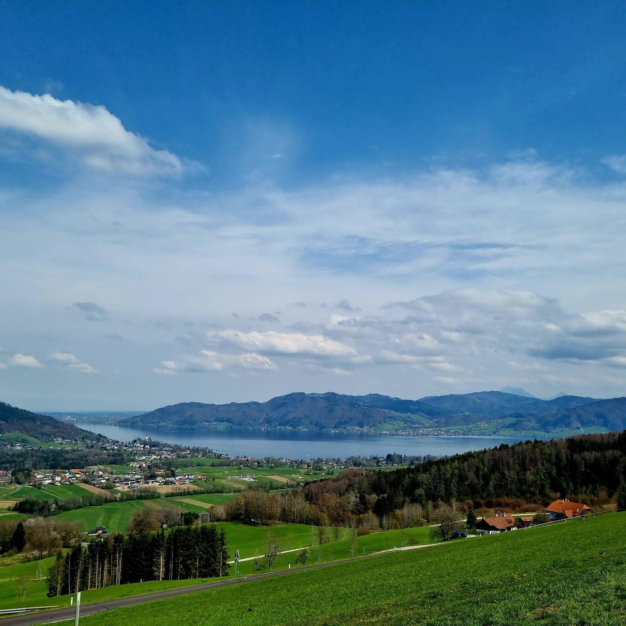
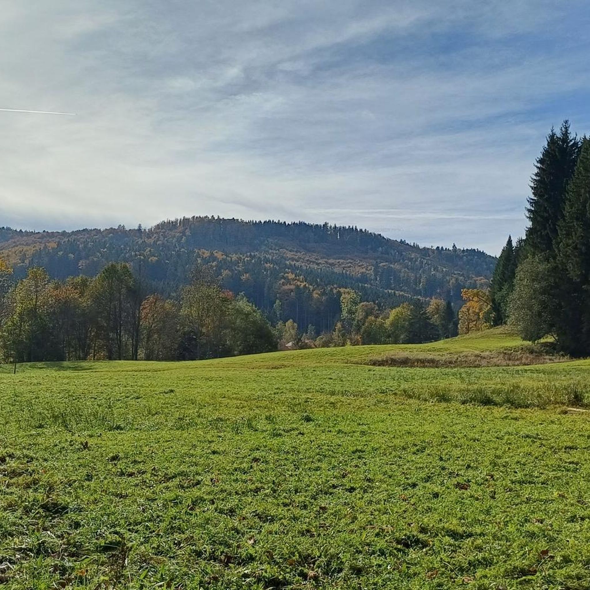
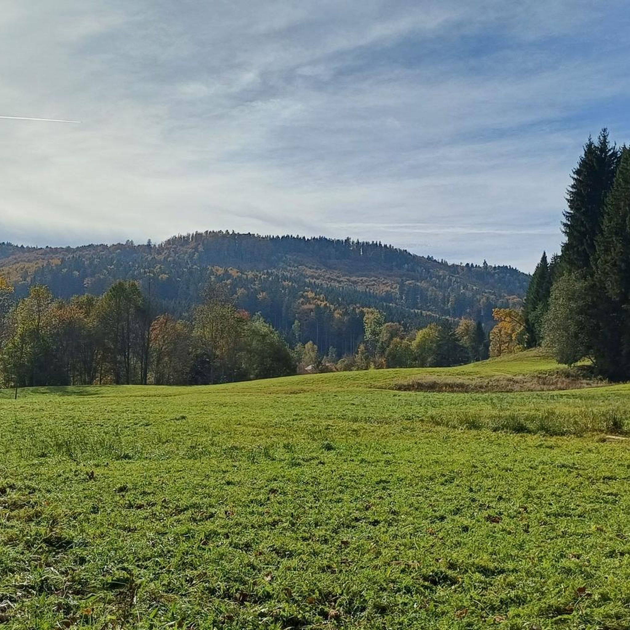
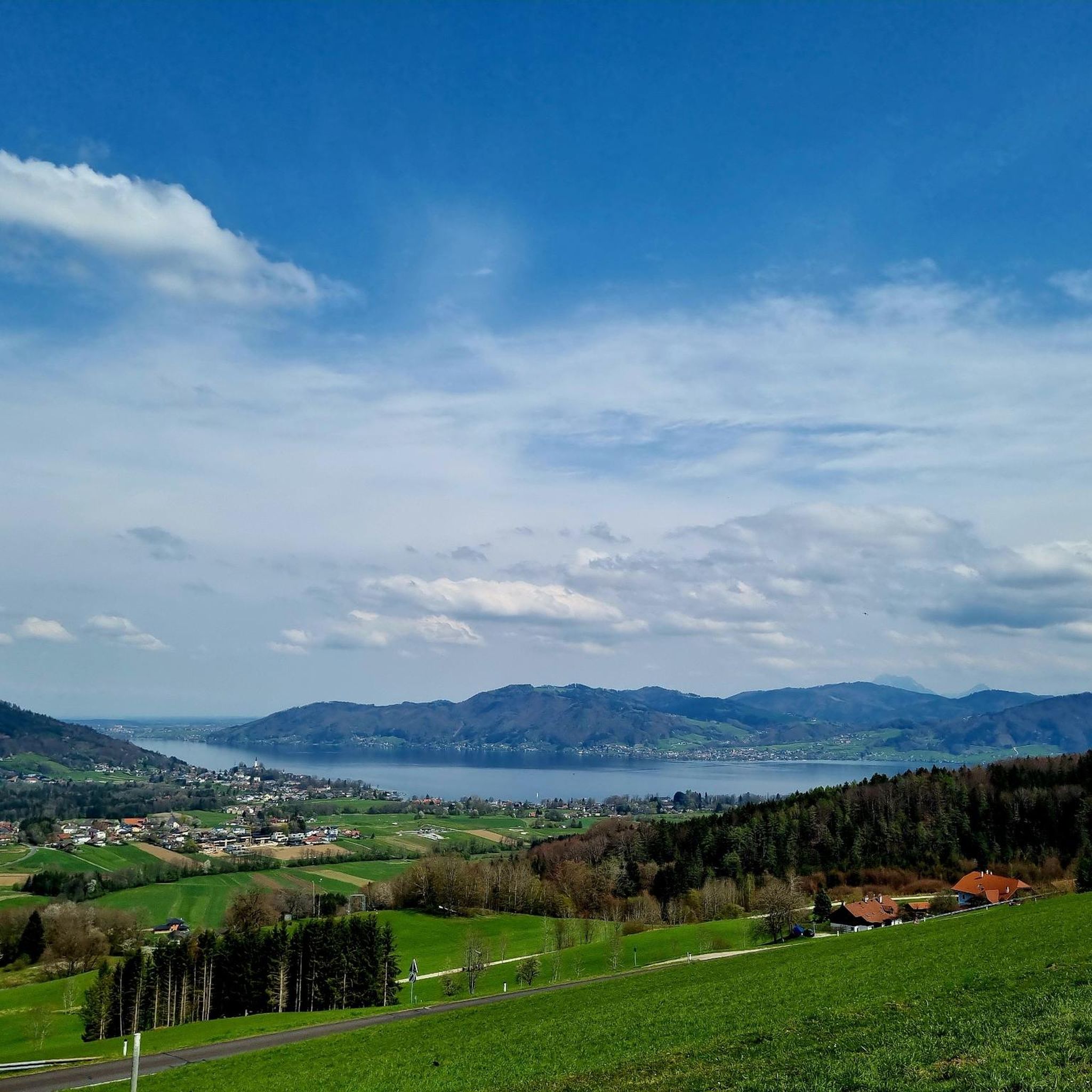
Mountain biking around Weißenkirchen im Attergau offers routes through the hilly landscape of Upper Austria, characterized by forests, open fields, and views towards the Attersee region. The terrain often includes varied elevations, with trails winding through valleys and ascending to higher points. This area provides a mix of natural surfaces and gravel paths suitable for mountain biking.
Best mountain bike trails around Weißenkirchen im Attergau
- The most popular mountain bike trail is Kulmspitze Observation Tower – View of Mondsee loop…
Last updated: July 5, 2026
4.7
(9)
56
riders
46.2km
04:10
910m
910m
Hard mountain bike ride. Very good fitness required. Suitable for all skill levels.
4.9
(14)
60
riders
Moderate mountain bike ride. Good fitness required. Advanced riding skills necessary.

Sign up for free
5.0
(4)
11
riders
60.0km
04:51
930m
930m
Hard mountain bike ride. Very good fitness required. Suitable for all skill levels.
4.3
(3)
16
riders
26.3km
01:57
450m
450m
Moderate mountain bike ride. Good fitness required. Suitable for all skill levels.
10
riders
43.7km
03:50
700m
700m
Moderate mountain bike ride. Good fitness required. Suitable for all skill levels.
Get access to more routes and recommendations from other explorers.
Sign up for free
Already have an account?
Our route recommendations are based on thousands of hikes, rides, and runs completed by other people on komoot.
Start today with a free account
Your next adventure awaits.
Login or Signup

Tips from the Community

⚠️ Currently 2026 MON and TUE = CLOSED DAY !
0
0

Stay calmly on the path; the detour into the forest is not worth it.
0
0

If the visibility is perfect, the Dachstein with its glacier remains can be seen beautifully at the Lichtenberg junction to the left of the Schafberg
0
0

A detour here is fantastic, especially if you don't like hiking. You can easily drive up the mountain. Of course, it's much nicer by bike or on foot 😍. A little tip for winter: Be careful on the steps of the observation tower! Danger of slipping! Otherwise, it's perfect for a short evening trip 🫶🏼🩷
0
0

It's a constant climb here. Much of the forest trail is shaded. A magnificent view awaits at the top.
0
0
Along the mountain bike trail II, you'll enjoy magnificent panoramas. Initially, it also runs on gravel paths through the forest. A truly cool downhill stretch, just waiting to be enjoyed!
0
0
An avenue of old, mighty linden trees lines the slightly ascending/descending path to Kogl Castle, which is unfortunately not freely accessible
1
0
Turn-off with a steep climb up to the Kulmspitze and a short, clear view over the valley around Oberwang and the hills towards Attersee
0
0
Frequently Asked Questions
How many mountain bike trails are there around Weißenkirchen im Attergau?
There are over 280 mountain bike routes available around Weißenkirchen im Attergau, catering to various skill levels. This includes more than 60 easy trails, nearly 200 moderate routes, and over 30 difficult options for experienced riders.
Are there easy mountain bike trails suitable for beginners in Weißenkirchen im Attergau?
Yes, Weißenkirchen im Attergau offers over 60 easy mountain bike trails perfect for beginners or those looking for a relaxed ride. These routes typically feature gentler gradients and less technical terrain.
What are some challenging mountain bike routes for advanced riders?
For advanced riders seeking a challenge, there are over 30 difficult mountain bike routes. One such demanding trail is the Kulmspitze Observation Tower – View of Mondsee loop from Angern, which covers 28.7 miles (46.2 km) with significant elevation changes.
Are there any circular mountain bike routes in the area?
Yes, many mountain bike routes around Weißenkirchen im Attergau are designed as loops. For example, the Lichtenberg Observation Tower – Berghof Danter loop from Frankenmarkt is a moderate 17.5-mile (28.1 km) circular path that includes an observation tower.
What is the best time of year for mountain biking in Weißenkirchen im Attergau?
The best time for mountain biking in Weißenkirchen im Attergau is generally from spring through autumn, roughly April to October. During these months, the weather is usually mild, and the trails are dry and accessible. Summer offers longer daylight hours, while spring and autumn provide pleasant temperatures and vibrant scenery.
Are there any scenic viewpoints along the mountain bike trails?
Yes, the region offers several scenic viewpoints. Many routes provide views towards the Attersee region and beyond. You might encounter highlights such as the Buchberg summit cross or the Hochalm Lupine Meadow, which offer panoramic vistas.
Can I find places to eat or rest along the mountain bike trails?
Yes, there are huts and restaurants in the vicinity where you can stop for refreshments. Notable spots include Berghof Danter, which is featured on some routes, and other huts like Schindlbaumstub'm Lumberjack Hut and Kalteis Hut.
What kind of terrain can I expect on the mountain bike trails?
The terrain around Weißenkirchen im Attergau is characterized by rolling hills, dense woodlands, and open fields. Trails often wind through valleys and ascend to higher points, featuring a mix of natural surfaces and gravel paths. You can expect varied elevations throughout the region.
What do other mountain bikers say about the trails in Weißenkirchen im Attergau?
The mountain bike trails in Weißenkirchen im Attergau are highly rated by the komoot community, with an average score of 4.6 stars from over 1600 reviews. Riders often praise the diverse terrain, scenic views, and the well-maintained paths that cater to various skill levels.
Are there any natural attractions to explore while mountain biking?
Beyond the trails themselves, the region boasts natural attractions such as the Irrsee (Lake Zell) and its Northwest Shore, which offer beautiful lakeside scenery. These natural monuments provide additional points of interest during your rides.
How long do mountain bike tours typically take in this area?
Tour durations vary significantly based on difficulty and distance. For instance, a moderate route like the Lichtenberg Observation Tower – Linden Avenue loop from Frankenmarkt, which is 16.3 miles (26.2 km), typically takes around 1 hour 57 minutes. Longer, more difficult routes can take over 4 hours.
Can I find less crowded mountain bike trails in Weißenkirchen im Attergau?
While some popular routes can see more traffic, with over 280 trails available, it's possible to find quieter options, especially on weekdays or by exploring some of the less-trafficked moderate and difficult routes. The vast network allows for discovery beyond the most well-known paths.
Most popular routes around Weißenkirchen im Attergau
Most popular attractions around Weißenkirchen im Attergau

Get inspired with the komoot mobile app


Explore more
Browse the best MTB trails in other regions.
