The best running trails around Walpole Highway
4.3
(4)
1,012
runners
148
runs
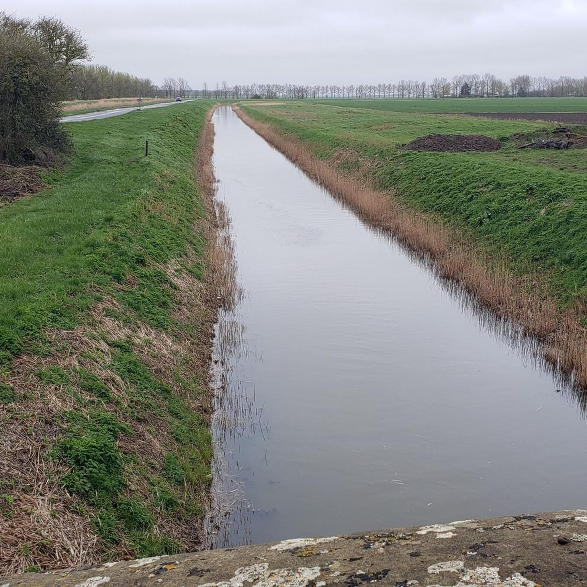
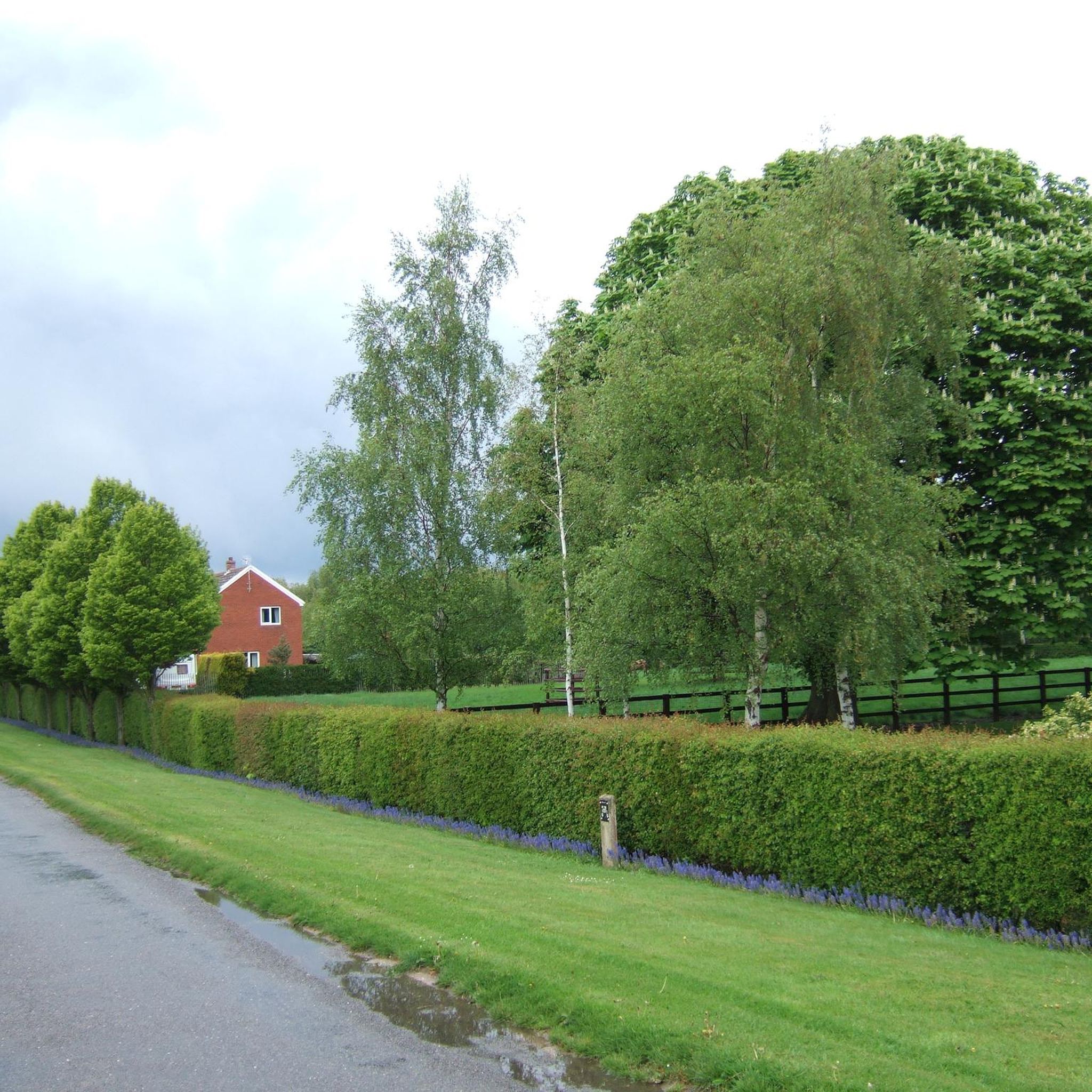
Jogging around Walpole Highway offers a pleasant environment for outdoor activities, characterized by its rural setting in Norfolk. The region features accessible routes, often with paved surfaces, providing expansive rural views. These running routes traverse open fields and agricultural scenery, catering to various fitness levels.
Best jogging routes around Walpole Highway
- The most popular jogging route is St John's Highway to Wiggenhall loop, a 9.9 miles (16.0 km) trail that takes 1 hour 44 minutes to complete. This route…
Last updated: July 10, 2026
1
runners
16.0km
01:44
20m
20m
The St John's Highway to Wiggenhall loop provides a difficult jogging experience, covering 9.9 miles (16.0 km) with a modest 59 feet (18 metres) of elevation gain. You can expect…
62
runners
Hard run. Very good fitness required. Mostly paved surfaces. Suitable for all skill levels.

Sign up for free
61
runners
Hard run. Very good fitness required. Mostly paved surfaces. Suitable for all skill levels.
13
runners
4.30km
00:26
10m
10m
Easy run. Great for any fitness level. Mostly paved surfaces. Suitable for all skill levels.
10
runners
12.9km
01:20
20m
20m
Moderate run. Good fitness required. Mostly paved surfaces. Suitable for all skill levels.
Get access to more routes and recommendations from other explorers.
Sign up for free
Already have an account?
Our route recommendations are based on thousands of hikes, rides, and runs completed by other people on komoot.
Start today with a free account
Your next adventure awaits.
Login or Signup
Popular around Walpole Highway

Tips from the Community

An escape from the town centre, Wisbech Park, established in 1869, is a classic Victorian park that has been a welcoming destination for visitors for over a century. With a blend of pathways, neatly trimmed privet hedges, and pockets of woodland, this location provides an excellent setting for a run amid diverse surroundings.
1
0
Just after Wiggenhall St Mary Magdalen, you will find some spectacular views while crossing the drains leading to the River Ouse. A very special feature of the village is a tidal bore or wave which can form on the River Great Ouse near the village. Dependent on particular lunar and tidal conditions. Free swimmers, canoers and spectators will often be drawn to experience the spectacle.
1
0
St. Peter's stands as a captivating ruin alongside the tranquil banks of the River Great Ouse. While its walls continue to stand tall, the roof and windows have long vanished. This church, constructed in the 15th century, gradually fell into disrepair at the dawn of the 20th century. In an unfortunate turn of events, in 2013, it was struck by lightning, further adding to its historical narrative.
1
0
One notable historical feature in Walpole St. Andrew is its church, St. Andrew's Church, which is a Grade I listed building. This church, like many old churches in Norfolk, displays impressive medieval architecture and is a prominent landmark in the village.
1
0

Discover this charming ruined church at Wiggenhall St. Peter's on the Fen Rivers Way. It's worth taking some time to explore the church, it has a fascinating history attached to it and some of the most fantastic carved bench-ends you’ll see anywhere in East Anglia
1
0

Now redundant. Usually open with volunteer staff present. Interesting history.
0
0

Make sure you have plenty of water and sun screen
0
0
Frequently Asked Questions
How many running routes are available in Walpole Highway?
Walpole Highway offers a wide selection of running routes, with over 150 trails available for you to explore. These routes cater to various fitness levels, from easy jogs to more challenging runs.
What kind of terrain can I expect on the running routes in Walpole Highway?
The running routes around Walpole Highway are primarily characterized by their rural setting. You'll find many trails feature paved surfaces, winding through open fields and agricultural scenery, offering expansive rural views. This makes for a generally smooth and tranquil running experience.
Are there running routes suitable for beginners or those looking for an easy jog?
Yes, Walpole Highway has options for all abilities. There are 21 easy running routes available. For a pleasant, shorter run, consider the Running loop from West Walton, which is just over 4 km long.
What landmarks or points of interest can I see while running in Walpole Highway?
While jogging, you can encounter several interesting landmarks. Near some routes, you might pass by the Clarkson Memorial in Wisbech, commemorating Thomas Clarkson's anti-slavery work, or the historic Cross Keys Bridge, a Grade II listed swing bridge offering expansive views.
Are the running routes in Walpole Highway dog-friendly?
Given the rural nature of Walpole Highway and its surrounding areas, many of the trails are suitable for running with dogs. However, it's always recommended to keep your dog on a leash, especially when passing through agricultural land or near livestock, and to respect local signage regarding dog access.
Are there any circular running routes available?
Yes, many of the running routes in Walpole Highway are circular, allowing you to start and finish at the same point. A popular option is the St John's Highway to Wiggenhall loop, which offers rural scenery and passes by historical sites.
What do other runners enjoy most about jogging in Walpole Highway?
The running experience in Walpole Highway is highly rated by the komoot community, with an average score of 4.25 stars. Runners often praise the tranquil rural landscapes, the open fields, and the generally well-maintained, often paved, surfaces that make for enjoyable runs.
Are there any challenging or difficult running trails for experienced runners?
For those seeking a more challenging run, Walpole Highway offers 18 difficult routes. An example is the St Andrew's Church – Hlood's King of Hearts loop from West Walton, which is a demanding 15.9 km path featuring mostly paved surfaces and rural views.
Can I find long-distance running trails near Walpole Highway?
Absolutely. Many routes in the area are designed for longer distances. For instance, the St Mary's Church, West Walton – Hlood's King of Hearts loop from Walpole covers 16.5 km, leading through rural landscapes and open fields, ideal for a longer endurance run.
Are there any running routes that pass by local attractions like breweries or gardens?
While running, you might find routes that bring you close to local points of interest. For example, Elgood's Brewery & Gardens is a notable attraction in the wider area that some routes may pass near, offering a potential stop or a scenic view.
What is the best time of year for running in Walpole Highway?
Walpole Highway's rural setting makes it enjoyable for running throughout much of the year. Spring and autumn offer pleasant temperatures and beautiful scenery. Summer can be warm, so early morning or late evening runs are often preferred. Winter runs are also possible, but be mindful of potentially wet or icy conditions on some paths.
Are there running routes that are suitable for families with children?
Yes, many of the easier and shorter routes are suitable for families. The generally flat and often paved surfaces make them accessible. Look for routes marked as 'easy' in the guide, such as the shorter loops from West Walton, which provide a good option for a family outing.
Is parking generally available near the running routes in Walpole Highway?
As Walpole Highway is a rural area, parking is often available in or near villages that serve as starting points for routes. It's advisable to check specific route details for recommended parking spots, which might include village car parks or designated roadside areas.
Most popular routes around Walpole Highway
Most popular attractions around Walpole Highway

Get inspired with the komoot mobile app


Explore more
Browse the best Running Trails & Routes in other regions.
