The best walks and hikes around Kirk Bramwith
4.3
(112)
717
hikers
114
hikes
Hiking around Kirk Bramwith explores a landscape shaped by its network of canals and rivers, primarily the New Junction Canal and the River Don Navigation. The terrain is predominantly flat, with routes following waterside towpaths and paths through rural countryside. This area offers accessible walking for various abilities, connecting agricultural lands with lowland nature reserves.
Best hiking trails around Kirk Bramwith
- The most popular hiking route is Thorne Lock loop from Thorne North, a 7.1 miles (11.5 km) trail that takes around 2 hours 50 minutes to complete. This moderate route follows level waterside paths.
- Another top favourite among local hikers is Delves Fishery loop from Thorne North, an easy 4.0 miles (6.5 km) path. The trail is mostly flat and can be completed in about 1 hour 40 minutes.
- Local hikers also love the Kirkhouse Green Lift Bridge – New Junction Canal Towpath loop from Kirk Bramwith, a 5.1 miles (8.2 km) trail leading through open countryside, often completed in about 2 hours.
- Hiking around Kirk Bramwith is defined by level canal towpaths, riverside trails, and paths through lowland nature reserves. The extensive network of flat routes provides options for both short, easy family walks and longer distance hikes.
- The routes in Kirk Bramwith are highly rated by the komoot community with an average score of 4.4 stars from more than 90 reviews. More than 700 hikers have used komoot to explore Kirk Bramwith's varied terrain.
Last updated: September 28, 2026
3.2
(6)
13
hikers
11.5km
02:54
10m
10m
Moderate hike. Good fitness required. Easily-accessible paths. Suitable for all skill levels.
4.0
(1)
1
hikers
18.1km
04:34
30m
30m
Moderate hike. Good fitness required. Mostly accessible paths. Sure-footedness required.

3.5
(2)
7
hikers
6.71km
01:42
10m
10m
Easy hike. Great for any fitness level. Easily-accessible paths. Suitable for all skill levels.
5.0
(2)
4
hikers
13.6km
03:25
10m
10m
Moderate hike. Good fitness required. Easily-accessible paths. Suitable for all skill levels.
5.0
(1)
4
hikers
Moderate hike. Good fitness required. Easily-accessible paths. Suitable for all skill levels.
Get access to more routes and recommendations from other explorers.
Already have an account?
Our route recommendations are based on thousands of hikes, rides, and runs completed by other people on komoot.
Start today with a free account
Your next adventure awaits.
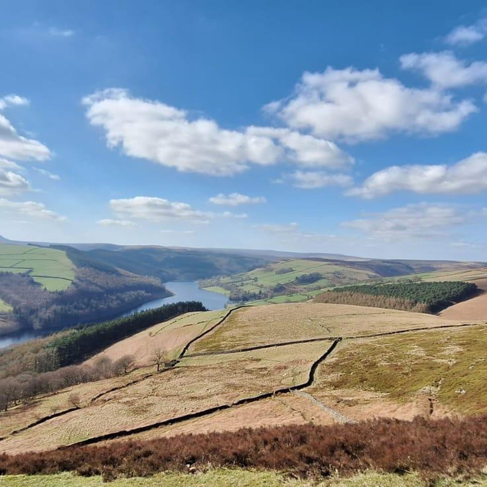
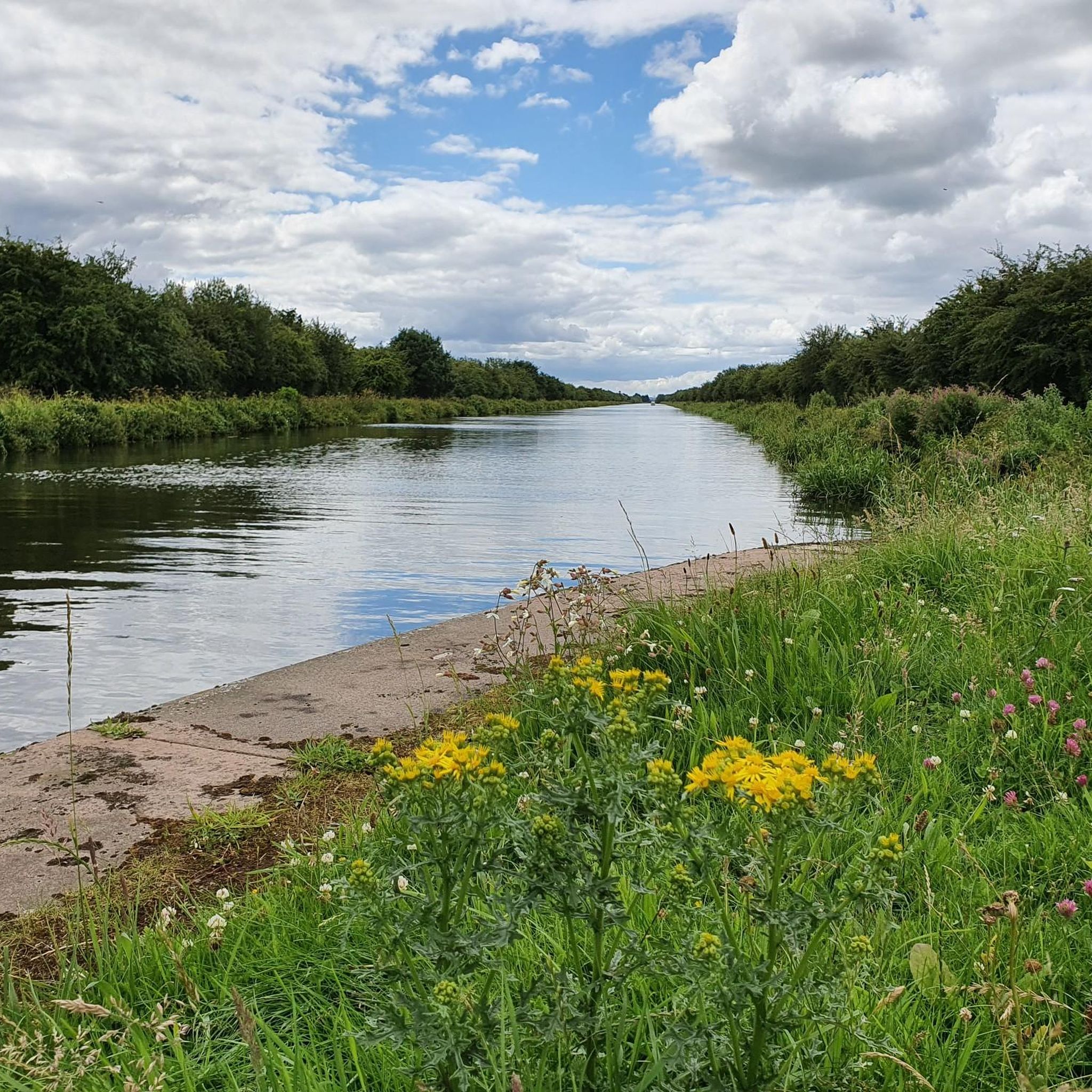
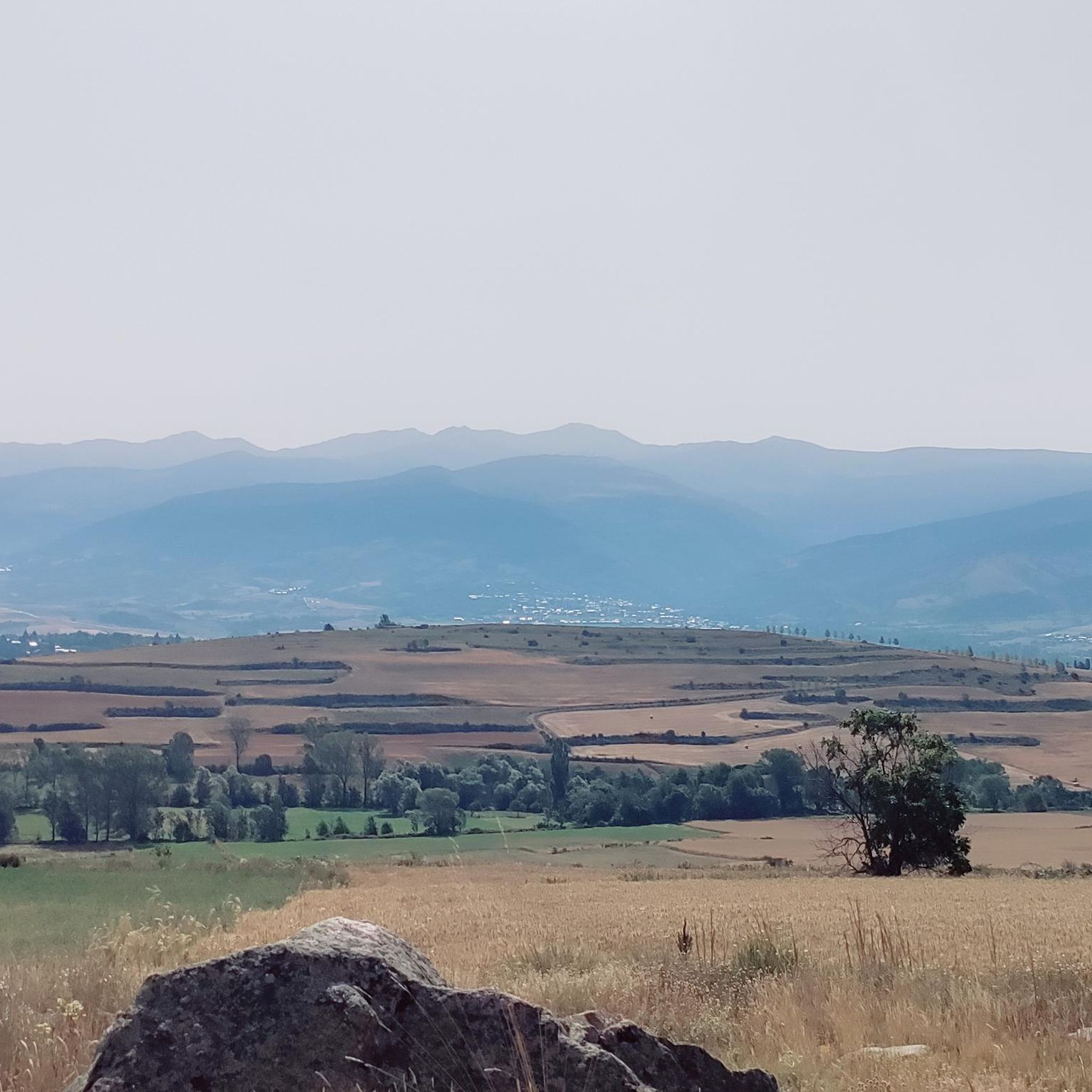
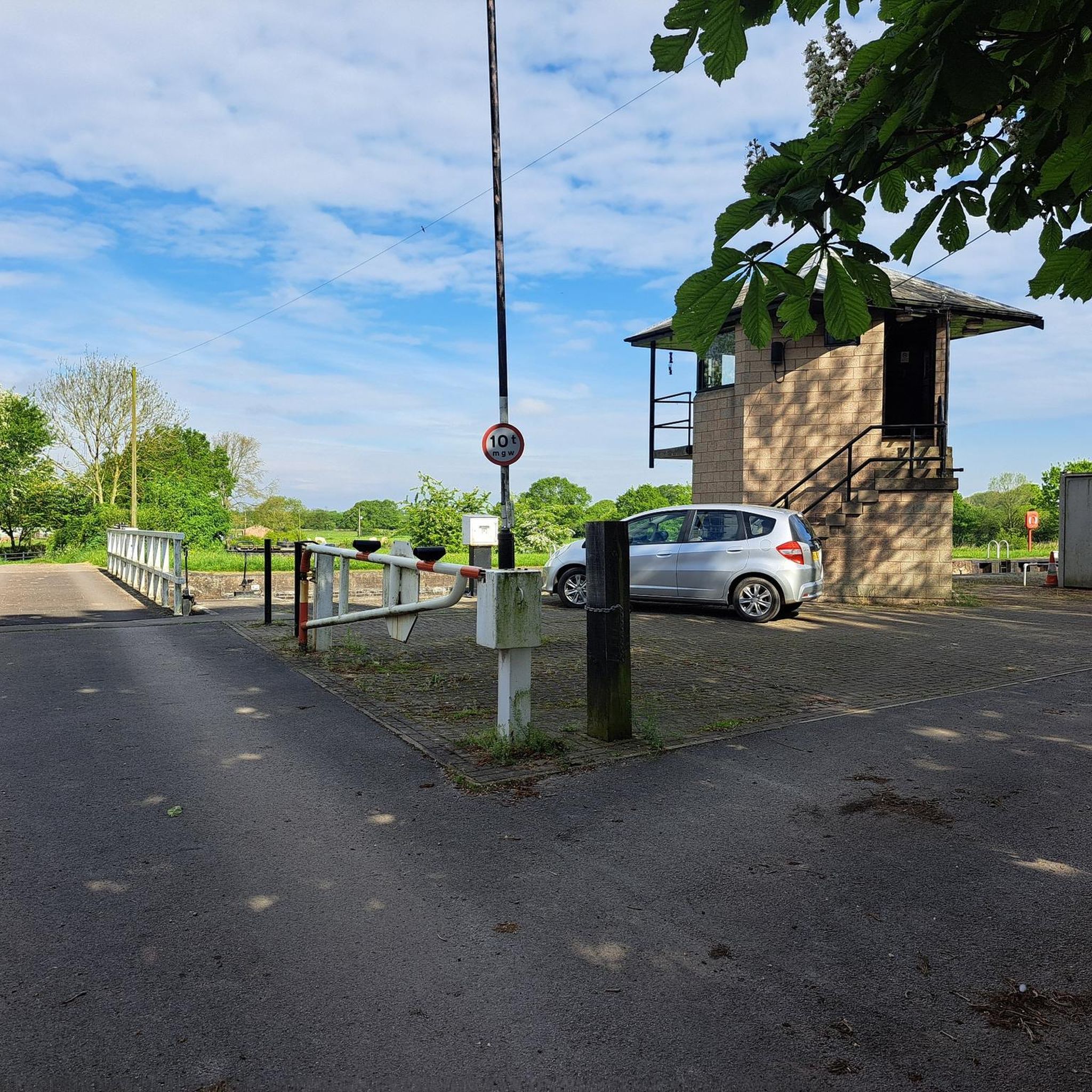

Tips from the Community

Opens at 08.30, serves very nice coffee, and has some delicious cakes n buns 👍
0
0

Nice restaurant. Also offers rooms.
1
0
Liftbridge over the New Junction Canal. Sykehouse village is about a mile to the east.
1
0
Although there is some evidence of a chapel having existed at the end of the 12th century, the earliest definite reference is of a licence is dated 1425.
1
0
This lovely rest area is located in Sykehouse, right on the Trans Pennine Trail.
1
0
The River Went is a river in Yorkshire, England. It rises close to Featherstone and flows eastward, joining the River Don at Reedholme Common. https://en.m.wikipedia.org/wiki/River_Went
1
0
Beautiful canal, right on the Trans Pennine Trail https://en.m.wikipedia.org/wiki/Aire_and_Calder_Navigation
1
0
Frequently Asked Questions
Are there many circular walks available around Kirk Bramwith?
Yes, the area offers numerous circular walks. The flat landscape and network of canal towpaths make it easy to create loops of various lengths. For a longer day out exploring the unique peatlands, the Hatfield loop from Thorne Road provides a substantial circular route through the moors.
What are the best options for easy, family-friendly walks?
The region is ideal for family walks due to its flat terrain, especially along the canal towpaths. These paths are level and well-maintained, making them suitable for all ages. Many of the shorter waterside routes, like those along the New Junction Canal, are perfect for a relaxed family outing.
Are the hiking trails in this area suitable for dogs?
The open countryside and long, straight towpaths are great for walking with dogs. However, be mindful that you will be near waterways and may pass through nature reserves like the Humberhead Peatlands. It's important to keep dogs under control, especially during bird nesting season, and to check local signage for any specific restrictions.
Where can I find walks through nature reserves?
The most significant nearby reserve is the Humberhead Peatlands National Nature Reserve, which includes Hatfield Moors. This area offers a unique landscape of lowland bog with well-marked trails. It's a fantastic place for birdwatching and experiencing a wilder environment compared to the canal paths.
Can I access any long-distance trails from Kirk Bramwith?
Yes, the towpath of the New Junction Canal forms part of the Trans Pennine Trail. This provides a great opportunity for more ambitious hikers to tackle a section of a well-known national trail that connects the east and west coasts of northern England.
What kind of scenery can I expect on the waterside walks?
The walks along the New Junction Canal, River Don, and Stainforth and Keadby Canal offer a peaceful, rural experience. You'll follow level towpaths through open countryside, with views of agricultural land and features of the area's industrial heritage, such as locks and lift bridges.
Where can I find information on parking for the trails?
Parking is often available in small, informal car parks near canal access points or in the villages themselves, such as Kirk Bramwith or Thorne. For larger reserves like the Humberhead Peatlands NNR, there are designated car parks, though some may require payment via an app. It's always best to check your planned starting point for specific parking arrangements.
Are there any pubs or cafes along the walking routes?
While many of the canal paths are quite rural, you can plan your walk to pass through nearby villages like Barnby Dun, which has options such as the Olive Bar & Grill. The Olive Bar & Grill Barnby Dun – Quarry Park loop from Doncaster Greyhound Stadium is a moderate walk that incorporates a stop for refreshments.
What do other hikers say about the trails around Kirk Bramwith?
The routes in this area are highly rated by the komoot community. Reviewers often praise the peaceful, flat waterside paths that are perfect for easy, relaxing walks. The unique and wild landscape of the nearby peatlands is also frequently mentioned as a highlight.
Are there any historical sites to see while hiking?
Yes, the village of Kirk Bramwith itself is home to the historic St Mary's Church, a Norman structure dating back to 1120. It's a prominent landmark and provides a point of historical interest for walkers exploring the immediate area.
How many hiking trails are available in the Kirk Bramwith area?
There are over 120 hiking routes to explore around Kirk Bramwith. The majority are easy or moderate, taking advantage of the flat canal towpaths and nature reserve trails, but there are options for all abilities.
Most popular attractions around Kirk Bramwith

Get inspired with the komoot mobile app


Explore more
Browse the best Hikes in other regions.
