The best MTB trails around Wiehe
4.5
(52)
144
riders
33
rides
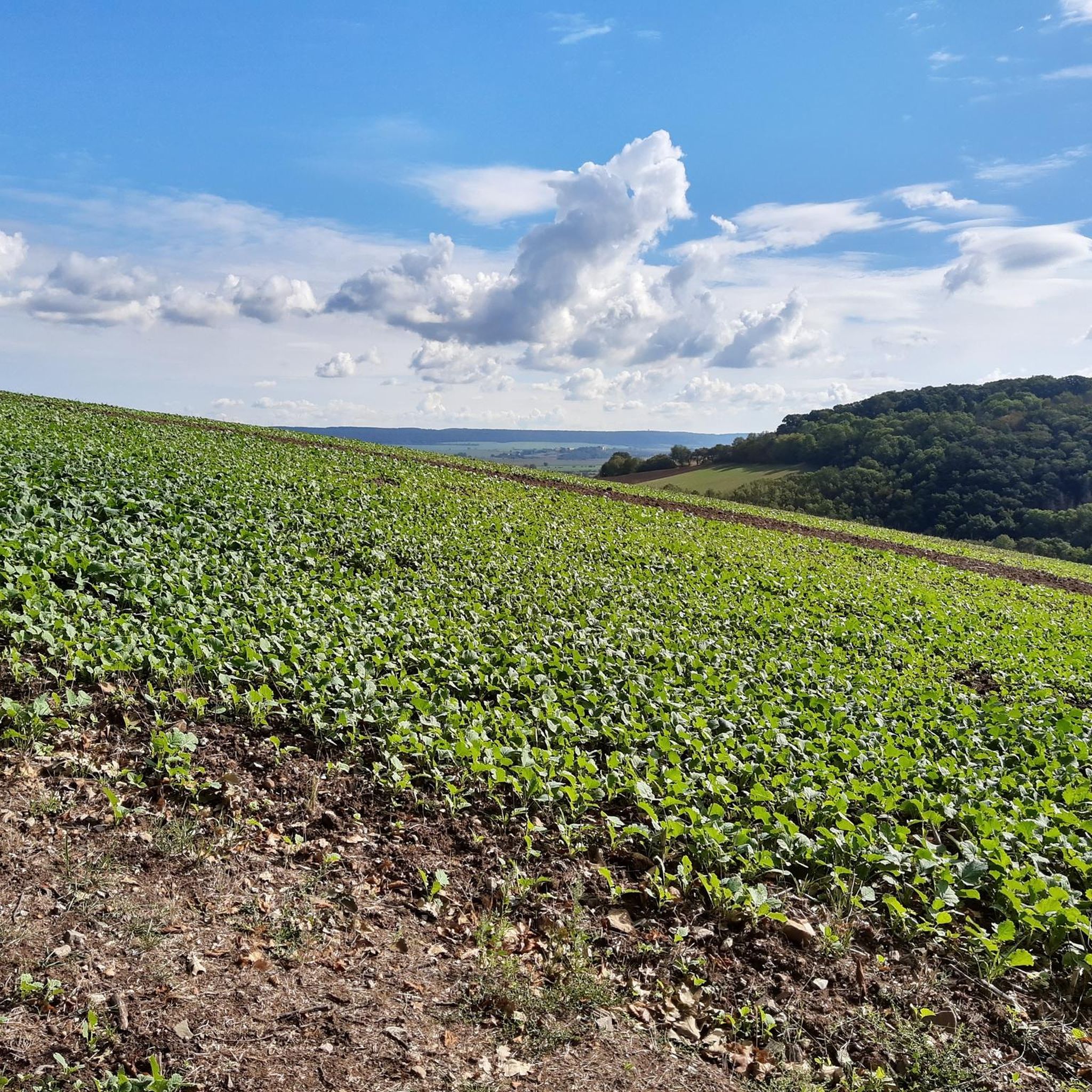
Mountain biking around Wiehe offers diverse terrain in the Kyffhäuserkreis district of Thuringia, Germany. The region is characterized by the Unstrut valley, the wooded Hohe Schrecke mountain ridge, and the broader Kyffhäuser Range, featuring prominent hills and dense forests. This geological makeup provides varied landscapes of woodlands, heaths, and meadows, creating an environment suitable for mountain biking. The area includes routes with significant elevation changes and varied terrain.
Best mountain bike trails around Wiehe
- The most popular mountain bike trail…
Last updated: June 25, 2026
4.8
(6)
20
riders
33.1km
02:08
240m
240m
Moderate mountain bike ride. Good fitness required. Suitable for all skill levels.
4.7
(3)
26
riders
Moderate mountain bike ride. Good fitness required. Suitable for all skill levels.

Sign up for free
4.0
(4)
7
riders
32.6km
02:35
510m
510m
Moderate mountain bike ride. Good fitness required. Advanced riding skills necessary.
5
riders
18.6km
01:34
280m
280m
Easy mountain bike ride. Great for any fitness level. Suitable for all skill levels.
3.5
(4)
6
riders
22.4km
01:17
140m
140m
Easy mountain bike ride. Great for any fitness level. Suitable for all skill levels.
Get access to more routes and recommendations from other explorers.
Sign up for free
Already have an account?
Our route recommendations are based on thousands of hikes, rides, and runs completed by other people on komoot.
Start today with a free account
Your next adventure awaits.
Login or Signup
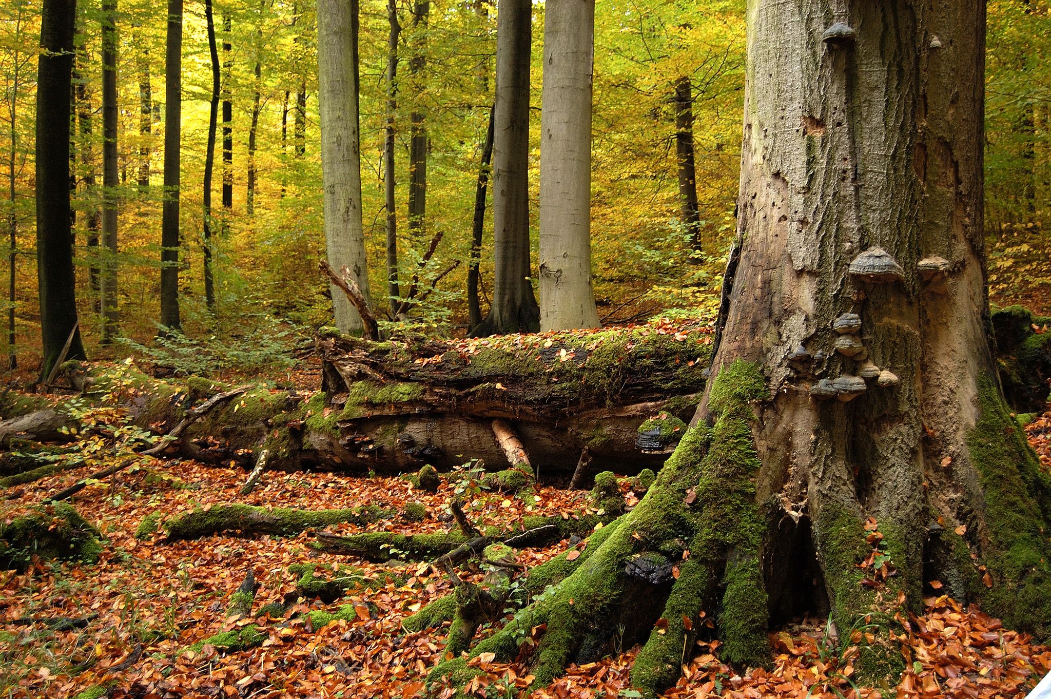

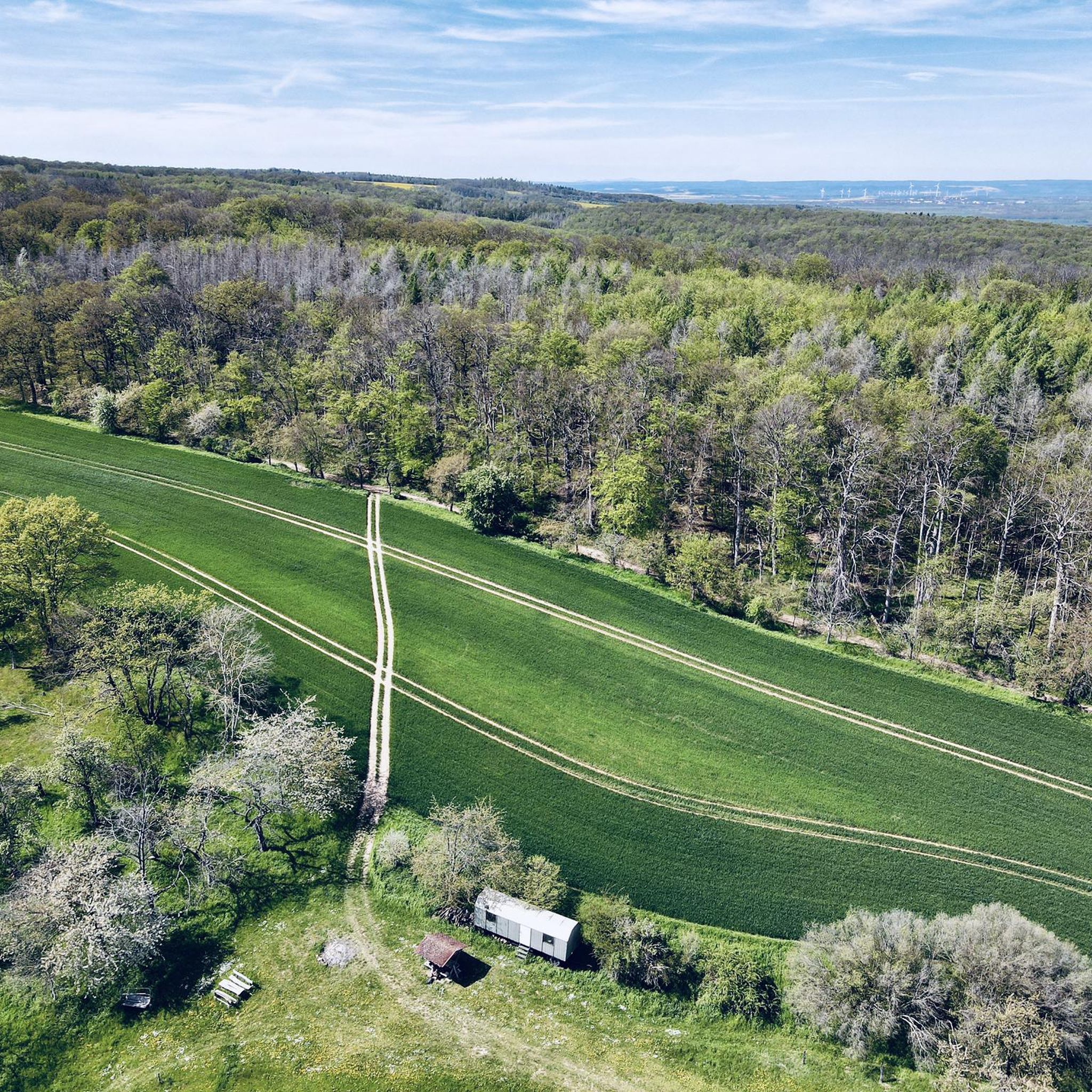
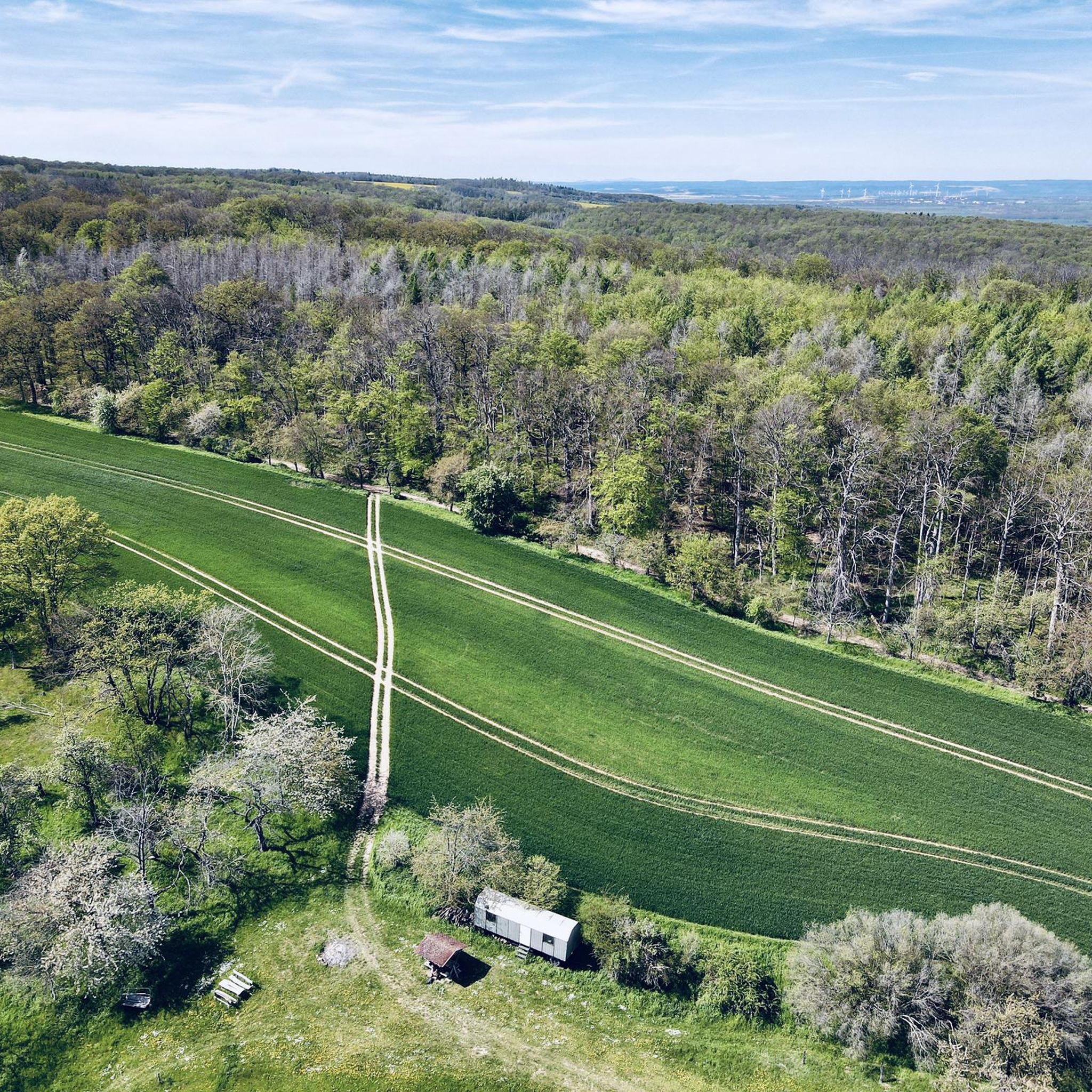
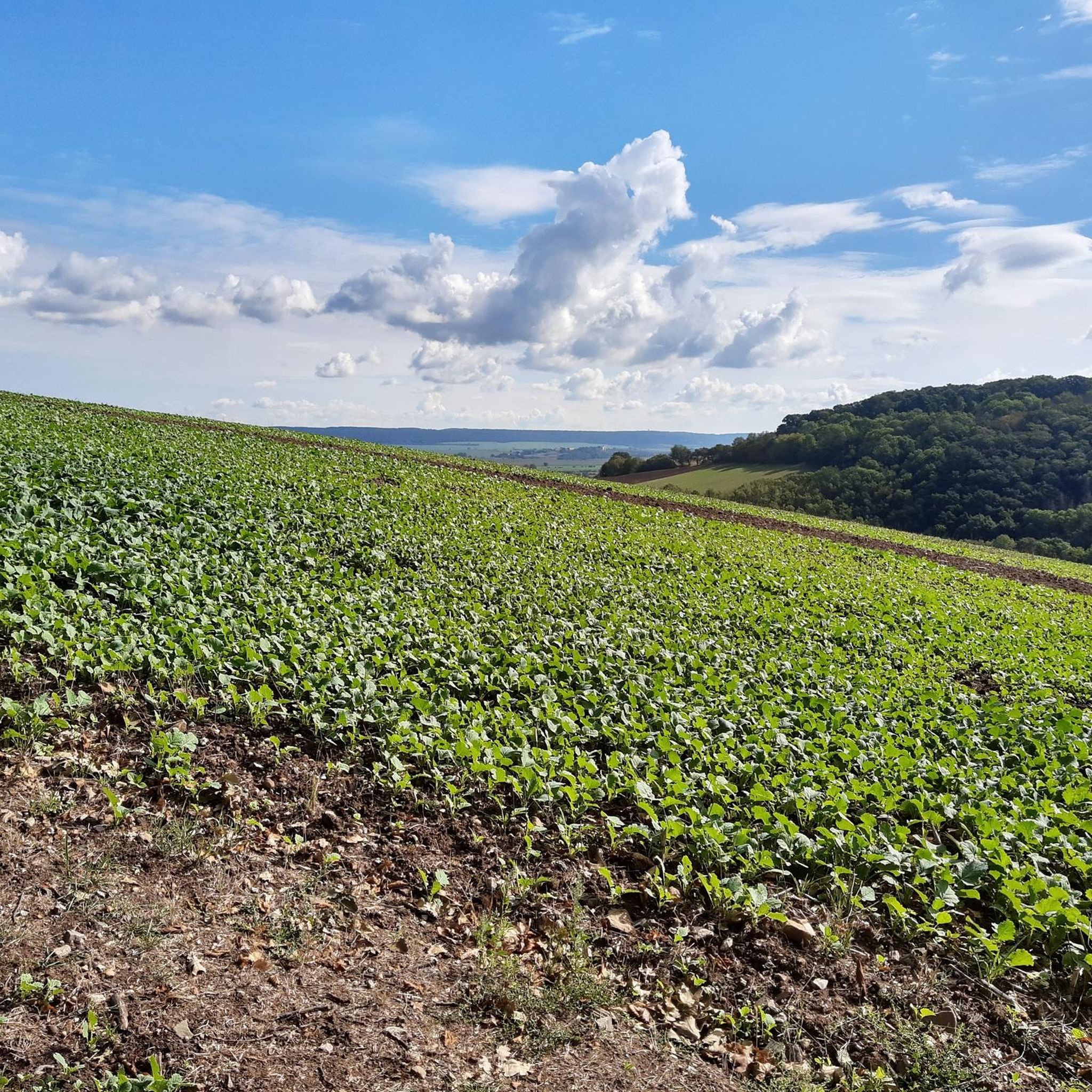


Tips from the Community

You simply have to be here ;-)
0
0
A really large swimming pool, which looks very impressive and will certainly be very busy in the summer.
0
0

At the site where the Nebra Sky Disk was discovered, a 30-meter-high observation tower now stands on the Mittelberg mountain. The modern tower is tilted 10° and oriented north-south, like a sundial hand. It provides a view of astronomically significant points such as the Brocken and makes Bronze Age celestial observations more comprehensible. The tower symbolizes the interplay of heaven, earth, and humanity—then as it does today—and is freely accessible to visitors at all times.
5
0

A great photo opportunity. Great for history buffs. Right next door is the beautiful Untstrut Valley.
0
0


The restaurant is still open - good for all hikers, cyclists...
1
0

For water hikers without their own boat, there is the option of renting one here.
1
0

What good is a restaurant for a hiker in the late afternoon? It's a shame. I rely on self-catering and no longer rely on opening hours from 5 PM Thursday to Saturday. It's best to bring everything yourself. 🤷♂️😉
1
0
Frequently Asked Questions
What kind of terrain can I expect when mountain biking around Wiehe?
Wiehe offers a diverse range of terrain for mountain biking. You'll find routes traversing the picturesque Unstrut valley, the wooded Hohe Schrecke mountain ridge, and the broader Kyffhäuser Range. This includes varied landscapes of woodlands, heaths, meadows, and hills, with some routes featuring significant elevation changes and rocky sections.
Are there mountain bike trails suitable for beginners in Wiehe?
Yes, Wiehe offers trails suitable for various skill levels. Out of the 34 mountain bike routes available, 9 are classified as easy, making them a great option for beginners or those looking for a more relaxed ride. An example of an easy route is the Ritteburg Weir on the Unstrut – Unstrut Bridge near Roßleben loop from Wiehe, which follows the Unstrut river.
What are some moderate mountain bike trails in the Wiehe area?
For those seeking a moderate challenge, Wiehe has 25 routes available. A popular choice is the View of Wendelstein Castle – Mittelberg Lookout Tower loop from Wiehe, a 20.6-mile (33.1 km) trail offering scenic views. Another well-liked moderate route is the Rastenberg Forest Pool – St. Bartholomew’s Church Wiehe loop from Wiehe, which features over 1,600 feet (500 m) of elevation gain.
Are there any challenging mountain bike trails for advanced riders in Wiehe?
While the majority of trails are easy to moderate, the region's diverse landscape, particularly in the Kyffhäuser Range and Hohe Schrecke, includes sections with steep slopes and varied surfaces that can be demanding. Some routes, though not explicitly rated 'difficult' in our data, may require good fitness and advanced riding skills, potentially involving pushing your bike on certain sections.
Are the mountain bike routes around Wiehe typically circular?
Yes, many of the mountain bike routes around Wiehe are designed as loops, allowing you to start and finish in the same location. For example, the Wendelstein Castle – Wendelstein Castle loop from Wiehe is a 35.5-mile (57.1 km) circular path that explores the area around the historic castle.
What natural features or landmarks can I see along the mountain bike trails near Wiehe?
The trails around Wiehe offer access to several interesting natural features and landmarks. You might encounter the Sandstone cliffs on the Unstrut cycle path, the serene Märzenbechertal Snowdrop Valley, or the impressive Buntsandstein Cliffs Below Altenburg. These highlights add to the scenic beauty of your ride.
Are there any facilities or shelters along the mountain bike routes?
Yes, you can find some facilities and shelters along the routes. For instance, you might come across the Holzmichel's Grill Hut or the Friedenseck Shelter, which can be useful for a break or in case of unexpected weather.
What do other mountain bikers say about the trails in Wiehe?
The mountain bike trails in Wiehe are highly regarded by the komoot community, holding an average rating of 4.4 stars from over 50 reviews. Riders often praise the varied terrain, the beautiful natural landscapes, and the well-maintained paths that offer a rewarding experience for different skill levels.
Is Wiehe a good destination for mountain biking with family?
Wiehe can be a good destination for families, especially given the availability of easy and moderate routes. The more relaxed cycling options along the Unstrut valley are particularly suitable for family outings. It's advisable to check the specific route details for elevation and technical difficulty to ensure it matches your family's abilities.
Where can I park my car when mountain biking in Wiehe?
While specific parking areas for mountain bikers are not detailed in our data, Wiehe is a small town, and you can generally find public parking options within the town center or near popular trailheads. It's always a good idea to check local signage for parking regulations.
What is the best time of year to go mountain biking in Wiehe?
The spring, summer, and autumn months generally offer the best conditions for mountain biking in Wiehe. During these seasons, the weather is typically more favorable, and the trails are less likely to be affected by snow or ice, allowing for a more enjoyable and safer riding experience. Always check the local weather forecast before heading out.
Most popular attractions around Wiehe

Get inspired with the komoot mobile app


Explore more
Browse the best MTB trails in other regions.
