The best road cycling routes around Upper Killay
4.5
(163)
7,983
riders
169
rides
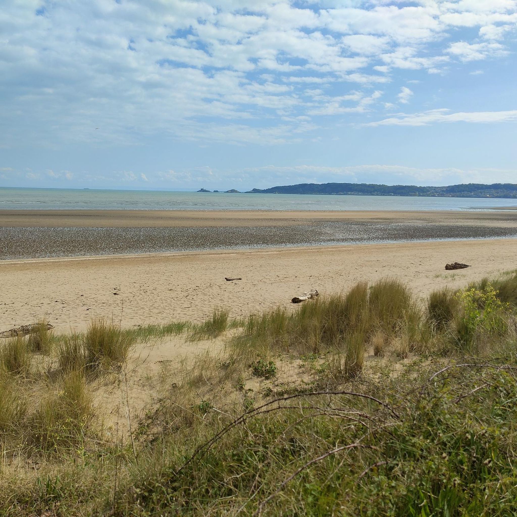
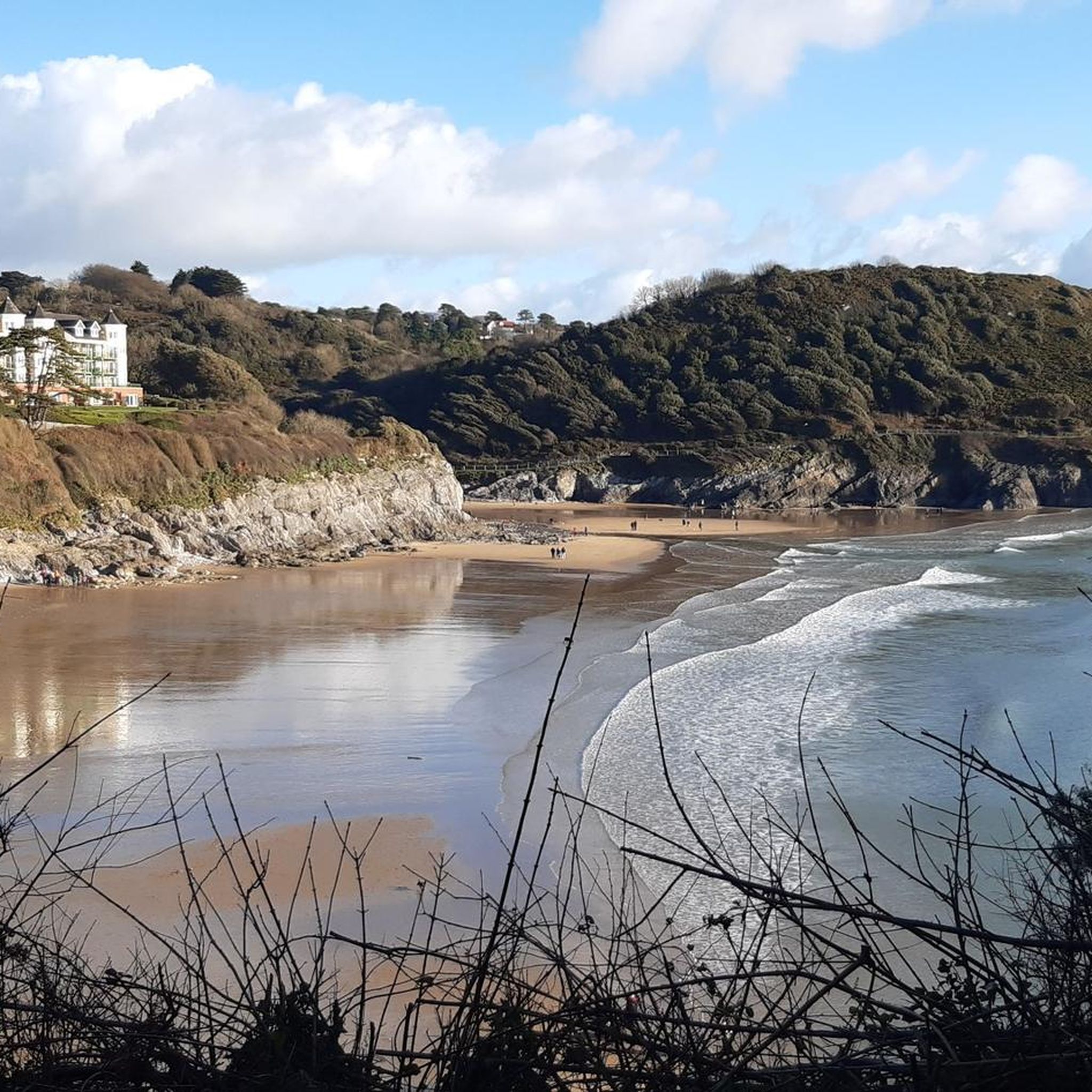
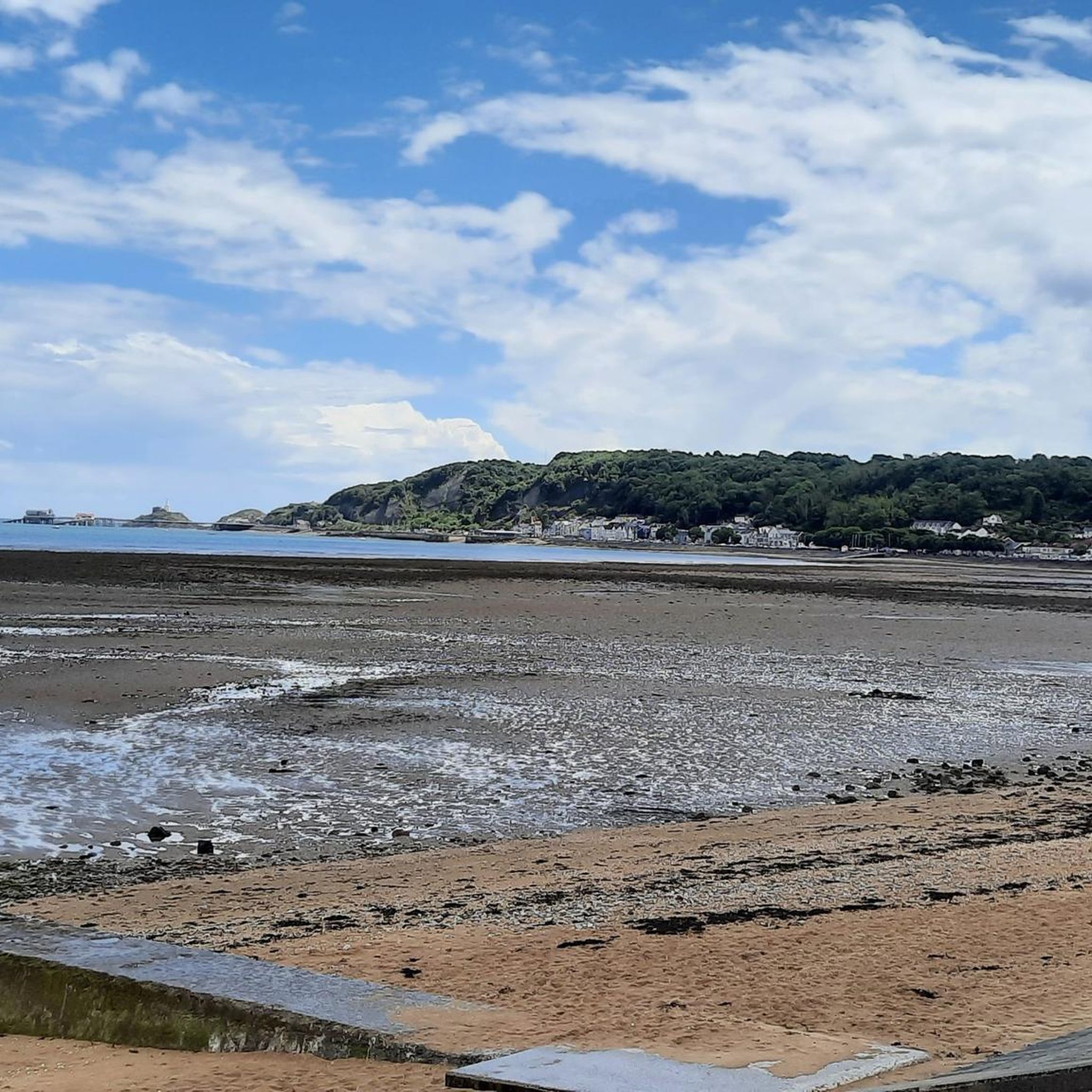
Road cycling around Upper Killay offers access to diverse landscapes, situated on the edge of the Gower Peninsula Area of Outstanding Natural Beauty. The terrain features open heathland of Fairwood Common, extensive woodlands within Clyne Valley Country Park, and coastal paths leading to scenic bays. The region provides a mix of on-road routes with varied elevation profiles, including some challenging climbs and descents.
Best road cycling routes around Upper Killay
- The most popular road cycling route is Clyne Valley Cycle…
Last updated: August 17, 2026
3.7
(3)
224
riders
74.8km
03:19
320m
320m
Moderate road ride. Good fitness required. Mostly well-paved surfaces and easy to ride.
5.0
(4)
114
riders
19.9km
00:56
130m
130m
Easy road ride. Great for any fitness level. Mostly well-paved surfaces and easy to ride.

Sign up for free
4.0
(1)
52
riders
Moderate road ride. Good fitness required. Some segments of this route may be unpaved and difficult to ride.
3.0
(2)
57
riders
34.6km
02:04
170m
170m
Moderate road ride. Good fitness required. Some segments of this route may be unpaved and difficult to ride.
4.3
(6)
67
riders
Easy road ride. Great for any fitness level. Mostly well-paved surfaces and easy to ride.
Get access to more routes and recommendations from other explorers.
Sign up for free
Already have an account?
Our route recommendations are based on thousands of hikes, rides, and runs completed by other people on komoot.
Start today with a free account
Your next adventure awaits.
Login or Signup

Tips from the Community

Fantastic pub, always a warm welcome from staff and customers. Sometimes has live music too outside.
1
0


A lovely little cafe for a quick pit stop en route
0
0

A nice pub along the trail. Great place to meet and finish a bike ride you get get coffee from the little van if it’s open or obvs a post ride pint 🍺
1
0
The Marina is a great place to run. It is really flat and you can run past all the boats along the paths. The beach is close by and there are cafes and pubs that you can start or finish it. There's also public toilets there and there is a nice 5k loop or more
0
0


Clyne Valley Country Park is a 691-acre (280-hectare) area set around the Clyne River that runs into the sea at the Mumbles seafront between Lower Sketty and Blackpill. It is a marvellous green area that covers both sides of the valley in thick woodlands of oak, birch, and beech trees. There are signs of its intensive industrial history dotted within the park, but mainly it is now noted for its extensive network of walking, running, and cycling trails.
1
0

Frequently Asked Questions
How many road cycling routes are available around Upper Killay?
There are nearly 180 road cycling routes around Upper Killay, offering a wide variety of options for different skill levels. You'll find 58 easy routes, 90 moderate routes, and 30 challenging routes to explore.
What kind of terrain can I expect when road cycling near Upper Killay?
Road cycling around Upper Killay offers diverse terrain. You'll encounter open heathland on Fairwood Common, extensive woodlands within Clyne Valley Country Park, and scenic coastal paths leading to beautiful bays. The Gower Peninsula, which Upper Killay borders, provides a mix of on-road routes with varied elevation profiles, including some challenging climbs and descents, as well as easier, flatter sections.
Are there dedicated cycle paths in the Upper Killay area?
Yes, a significant advantage for road cyclists is the dedicated cycle path that runs from Dunvant, through Upper Killay (passing the Railway Inn), to Blackpill on the Swansea seafront, and continues towards Mumbles. Swansea Bay is known for its miles of bike paths, perfect for scenic rides along the seafront or into the valleys.
What are some notable natural features or landmarks I can see while cycling?
The region is rich in natural beauty. You can cycle through the Gower Peninsula Area of Outstanding Natural Beauty (AONB), explore Fairwood Common with its grazing animals, or pass through Clyne Valley Country Park. For specific natural highlights, consider visiting the Oxwich National Nature Reserve or the Penllergare Waterfall.
Are there any historical sites or castles accessible by road bike?
Yes, you can incorporate historical sites into your rides. Notable castles in the vicinity include Weobley Castle and Oystermouth Castle, both offering interesting stops during your cycling adventures.
What do other road cyclists think about the routes in Upper Killay?
The routes in Upper Killay are highly rated by the komoot community, with an average score of 4.6 stars from over 140 reviews. Cyclists often praise the diverse landscapes, from coastal views to woodland paths, and the variety of routes suitable for different abilities.
Are there any easy, family-friendly road cycling routes near Upper Killay?
Yes, there are several easy routes suitable for families. One option is the Clyne Valley Cycle Path – Swansea Bay loop from Oystermouth, which is 35.6 miles long and offers a relatively flat ride. Another easy route is The Railway Inn – Wildflowers Along Afon Lliw loop from Dunvant, covering 26.8 miles.
Can I find routes that include café stops?
Absolutely. Many routes pass through towns or near amenities where you can stop for refreshments. For example, the Clyne Valley Cycle Path – Lower Lliw Reservoir and Café loop from Oystermouth is a moderate 32.3-mile route specifically designed to include opportunities for café stops near reservoir areas.
Are there any circular road cycling routes starting from Upper Killay or nearby?
Yes, many routes are designed as loops. For instance, the popular Clyne Valley Cycle Path – Swansea Marina loop from Dunvant is a 12.6-mile circular route. Another option is the Loughor Bridge – View of the Loughor Estuary loop from Dunvant, a 21.5-mile trail that takes you through the Loughor Estuary.
What are the best times of year for road cycling in Upper Killay?
The Gower Peninsula and surrounding areas are generally pleasant for cycling from spring through autumn. The weather is milder, and the natural landscapes are vibrant. While winter cycling is possible, be prepared for potentially wetter and windier conditions, especially along the coast.
Is there good parking available for cyclists in Upper Killay?
Upper Killay's location as a gateway to the Gower Peninsula means there are various parking options available, particularly in nearby towns and villages that serve as popular starting points for routes. Many routes also begin from areas with accessible parking, such as Dunvant or Oystermouth.
Can I reach cycling routes using public transport?
Yes, the region has public transport links that can help you access cycling routes. The cycle path from Dunvant through Upper Killay connects to Blackpill and Swansea seafront, which are well-served by public transport, allowing you to start or end your ride conveniently.
Most popular routes around Upper Killay
Most popular attractions around Upper Killay

Get inspired with the komoot mobile app


Explore more
Browse the best Road cycling routes in other regions.
