The best running trails around Hulme Walfield
4.2
(184)
5,997
runners
374
runs
Jogging around Hulme Walfield offers an excellent way to explore this tranquil village and its surrounding Cheshire landscapes. The region features a mix of gentle agricultural plains, diverse woodlands, and canal towpaths, providing varied terrains for runners. Prominent natural features include The Cloud Summit, one of the highest points in the area, and the rocky outcrop of Mow Cop Castle. This combination of rural charm and natural landmarks makes Hulme Walfield a notable destination for outdoor activities.
Best jogging routes…
Last updated: August 27, 2026
106
runners
21.7km
02:16
120m
120m
Hard run. Very good fitness required. Mostly paved surfaces. Suitable for all skill levels.
47
runners
9.66km
01:03
80m
80m
Moderate run. Good fitness required. Mostly paved surfaces. Suitable for all skill levels.

Sign up for free
149
runners
11.6km
01:21
250m
250m
Moderate run. Good fitness required. Mostly paved surfaces. Suitable for all skill levels.
5.0
(3)
23
runners
19.7km
02:19
290m
290m
Hard run. Very good fitness required. Mostly paved surfaces. Suitable for all skill levels.
23
runners
8.78km
00:55
70m
70m
Moderate run. Good fitness required. Mostly paved surfaces. Suitable for all skill levels.
Get access to more routes and recommendations from other explorers.
Sign up for free
Already have an account?
Our route recommendations are based on thousands of hikes, rides, and runs completed by other people on komoot.
Start today with a free account
Your next adventure awaits.
Login or Signup
Tips from the Community

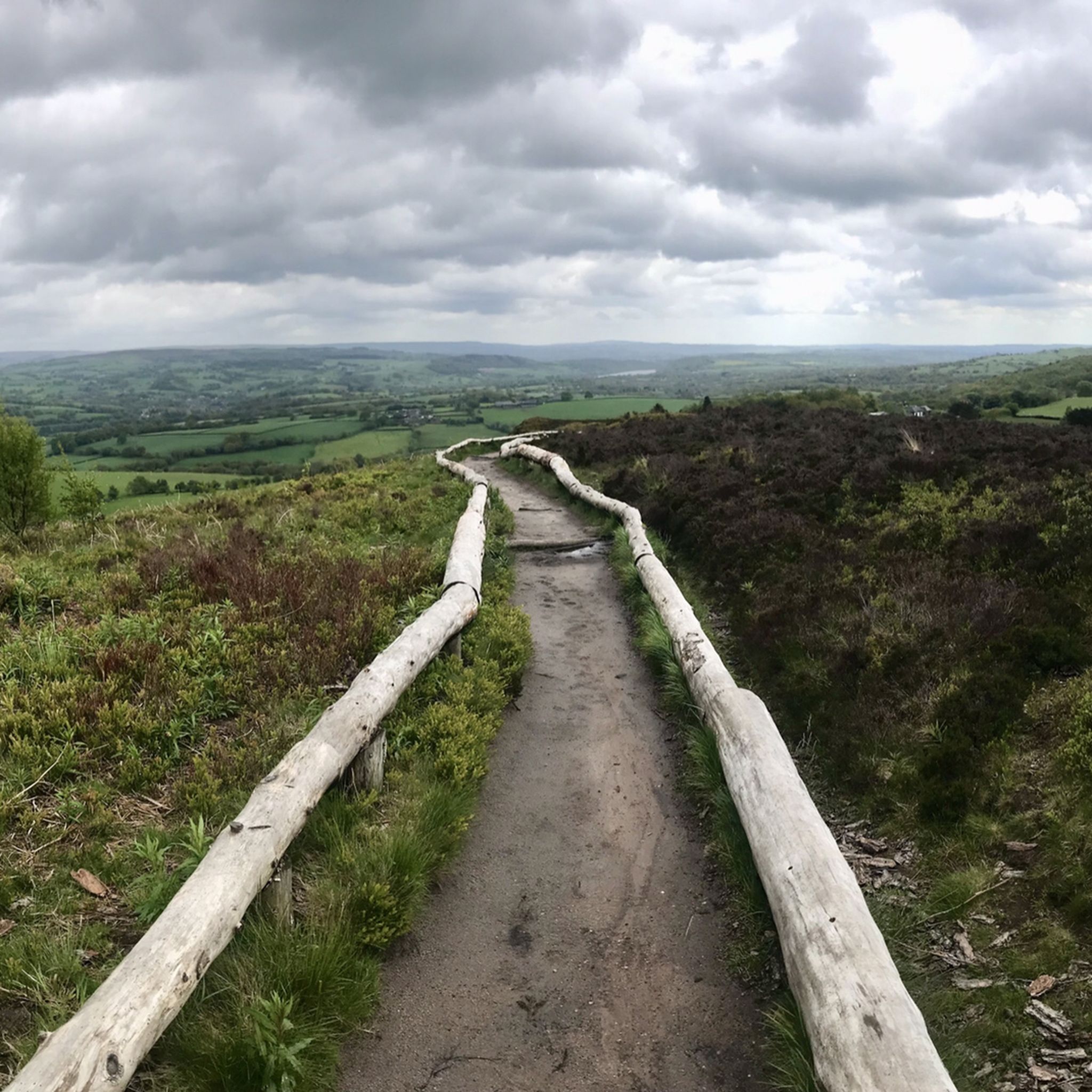
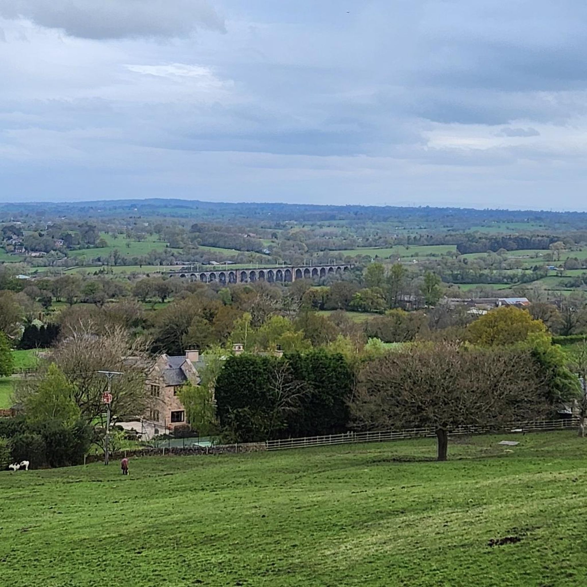
This clearing on the way up Bosley Cloud provides exceptional views across the flat expanse of the Cheshire Plain. The obvious landmark in the patchwork of fields is the historic Jodrell Bank telescope, easily the most conspicuous sight in the vista.
0
0
Timbersbrook Picnic Site is the ideal start and end point for a hill walk on Bosley Cloud. The parking is free and the setting is beautiful, while benches enable you to relax and enjoy it all with a bite to eat.
1
0

a two part ridge run that requires you to plan each footfall and goes through trees and has plenty of rocks under foot firm but careful also pause to drink in the views of Cheshire on one side and Derbyshire and Staffordshire on the other
0
0

Part of a network of lovely quiet almost traffic-free lanes to cycle up in the Cheshire countryside.
0
0

Fast up and down over beautiful stream flanked by lovely view and houses
0
0
Beautiful swans and geese taking a break next to a smooth country lane
0
0
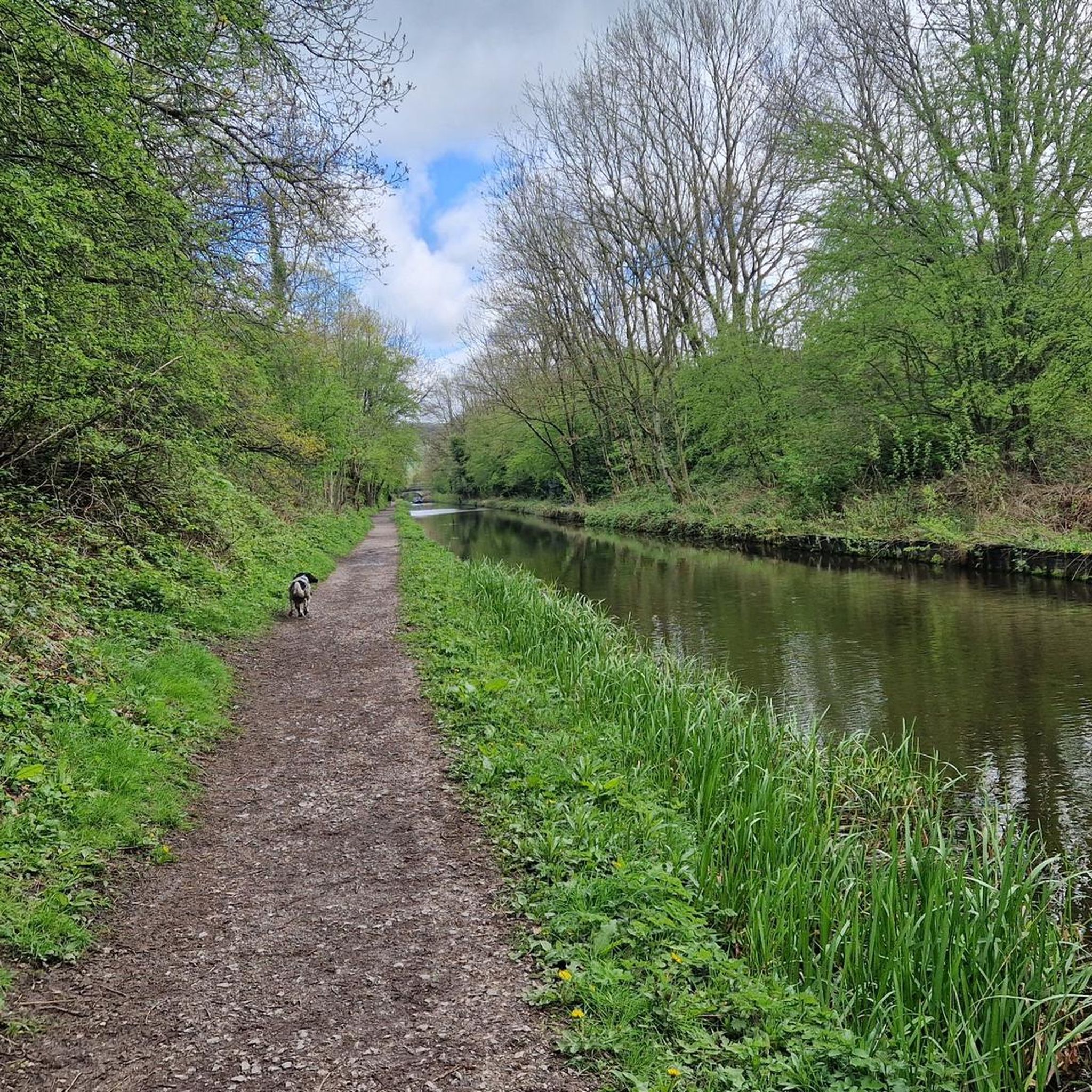
Easily missed by a lovely steam on a smooth country lane
0
0

Frequently Asked Questions
How many running routes are available around Hulme Walfield?
There are over 380 running routes available around Hulme Walfield, offering a wide variety of options for joggers of all levels.
What kind of terrain can I expect on the jogging routes in Hulme Walfield?
The jogging routes in Hulme Walfield feature a diverse mix of terrain, including gentle agricultural plains, varied woodlands, and flat canal towpaths. This provides a range of surfaces for different running preferences.
Are there running routes for different fitness levels in Hulme Walfield?
Yes, Hulme Walfield offers routes for various fitness levels. You'll find approximately 30 easy routes for a relaxed jog, over 290 moderate routes for a good workout, and around 60 difficult routes for those seeking a challenging run.
What are some of the most scenic running routes with great views in the Hulme Walfield area?
For breathtaking panoramic views, consider routes that ascend to The Cloud Summit Trig Point. The Biddulph Valley Way – The Cloud Summit Trig Point loop from Congleton is a moderate option that rewards runners with expansive vistas across the Cheshire Plain.
Are there any challenging running trails for experienced runners around Hulme Walfield?
Absolutely. For experienced runners looking for a challenge, routes like the Swan Pond – Fast Descent by the River loop from Hulme Walfield offer a difficult 14-mile run through varied rural landscapes. Another demanding option is the The Cloud Summit Trig Point – The Cloud Summit and Trails loop from Congleton, which includes significant elevation gain.
What interesting landmarks or natural features can I see along the running routes?
Many routes incorporate significant landmarks. You can run past the iconic Mow Cop Castle, a mock tower offering panoramic views, or ascend to The Cloud Summit Trig Point, one of the highest points in the area. Some trails might also lead you near Gawton's Cave, a natural monument with local lore.
Are there any circular running routes available in Hulme Walfield?
Yes, many of the running routes around Hulme Walfield are circular, allowing you to start and finish at the same point. Examples include the Astbury Mere – Astbury Mere Trail loop from Congleton and the Mow Cop Castle – Astbury Mere Country Park loop from Congleton.
What do other runners enjoy most about jogging in Hulme Walfield?
The area is highly rated by the komoot community, with an average score of 4.2 stars from over 150 reviews. Runners often praise the tranquil rural landscapes, the variety of terrain from woodlands to canal towpaths, and the rewarding views from prominent features like The Cloud Summit.
Are there any longer distance running trails for endurance training?
For longer distance training, the Swan Pond – Fast Descent by the River loop from Hulme Walfield is a substantial 14-mile (22.5 km) route. Another option is the Mow Cop Castle – Astbury Mere Country Park loop from Congleton, which covers over 12 miles (20.7 km).
Is Hulme Walfield a good place for family-friendly running or walks?
While specific 'family-friendly' jogging routes are not highlighted, the presence of gentle agricultural plains and canal towpaths suggests that many of the easier and moderate routes could be suitable for families looking for a relaxed run or walk. The Astbury Mere – Astbury Mere Trail loop from Congleton, for instance, is a moderate 6-mile route through a country park that might appeal to families.
What is the best time of year to go running in Hulme Walfield?
Hulme Walfield's diverse landscapes, including woodlands and canal towpaths, make it suitable for running throughout the year. Spring and autumn offer pleasant temperatures and beautiful scenery, while summer provides longer daylight hours. Even in winter, the trails can be enjoyed, though some paths might be muddy.
Most popular routes around Hulme Walfield
Most popular attractions around Hulme Walfield

Get inspired with the komoot mobile app


Explore more
Browse the best Running Trails & Routes in other regions.
