The best road cycling routes around Ottenschlag
4.5
(26)
645
riders
65
rides
Road cycling routes around Ottenschlag traverse the rolling hills and forested landscapes of the Waldviertel region in Lower Austria. The area is characterized by a mix of open fields, dense woodlands, and river valleys, offering varied terrain for cyclists. The length of road bike routes near Ottenschlag varies significantly, from shorter loops to longer, more challenging rides. This region provides diverse options for road cyclists of all abilities.
Best road cycling routes around Ottenschlag
- The most popular road cycling route…
Last updated: October 8, 2026
5.0
(2)
28
riders
55.2km
03:23
1,430m
1,430m
Hard road ride. Very good fitness required. Mostly well-paved surfaces and easy to ride.
16
riders
102km
04:55
1,380m
1,380m
Hard road ride. Very good fitness required. Mostly well-paved surfaces and easy to ride.

15
riders
48.4km
02:32
840m
840m
Moderate road ride. Good fitness required. Some segments of this route may be unpaved and difficult to ride.
8
riders
Moderate road ride. Good fitness required. Mostly well-paved surfaces and easy to ride.
5
riders
36.2km
01:51
620m
620m
Moderate road ride. Good fitness required. Mostly well-paved surfaces and easy to ride.
Get access to more routes and recommendations from other explorers.
Already have an account?
Our route recommendations are based on thousands of hikes, rides, and runs completed by other people on komoot.
Start today with a free account
Your next adventure awaits.
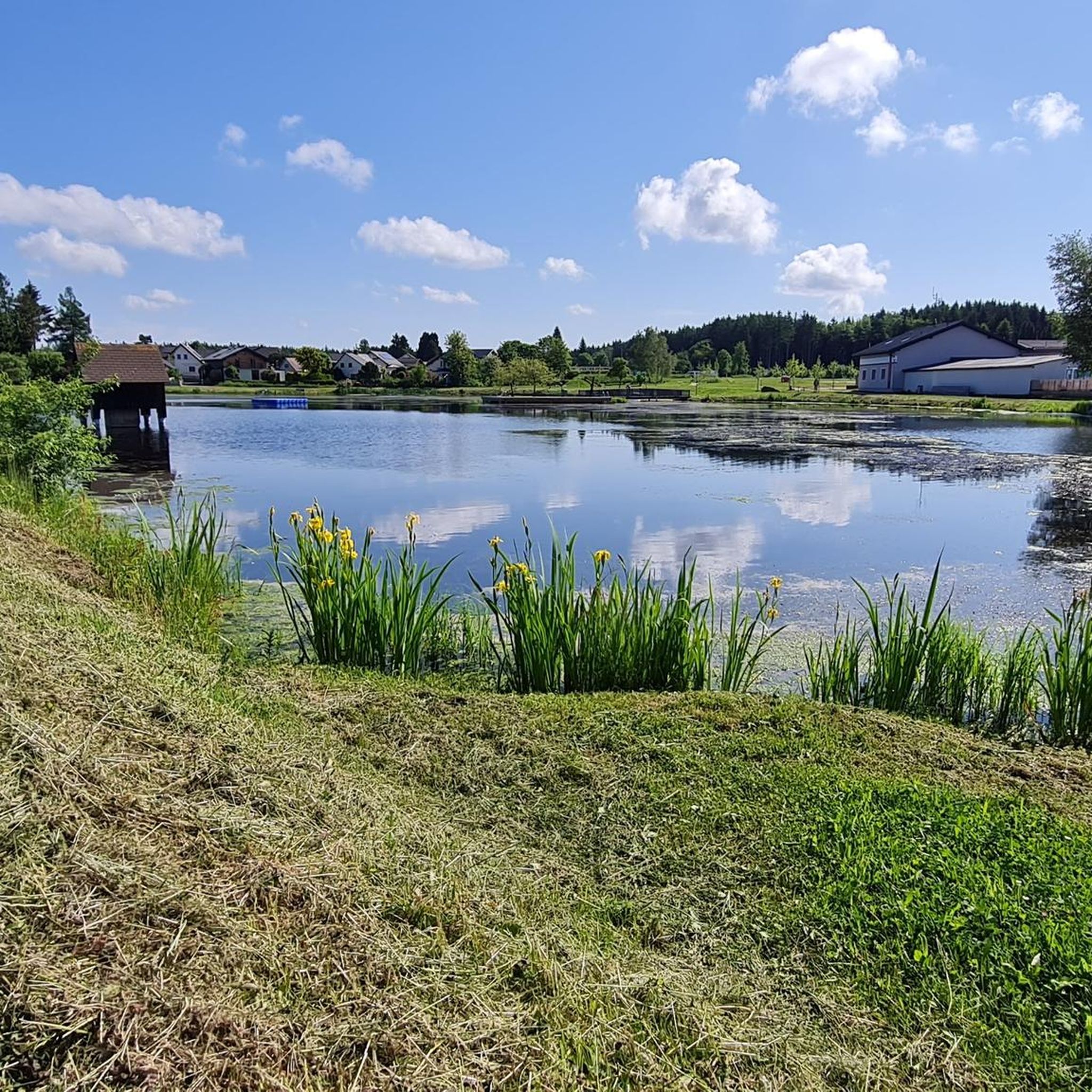
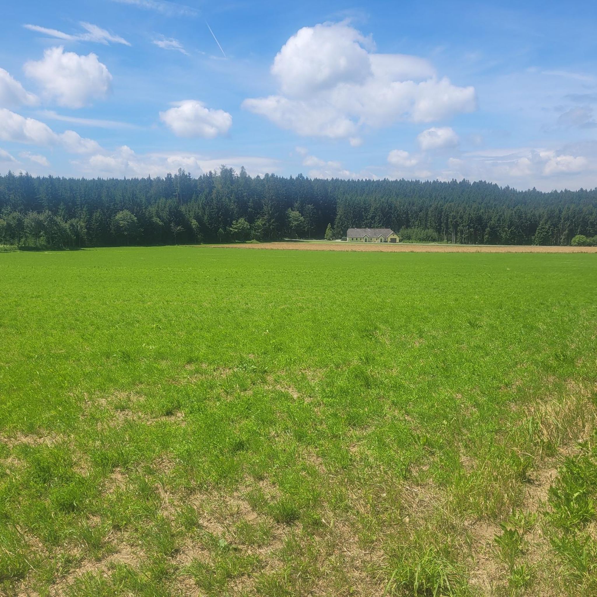
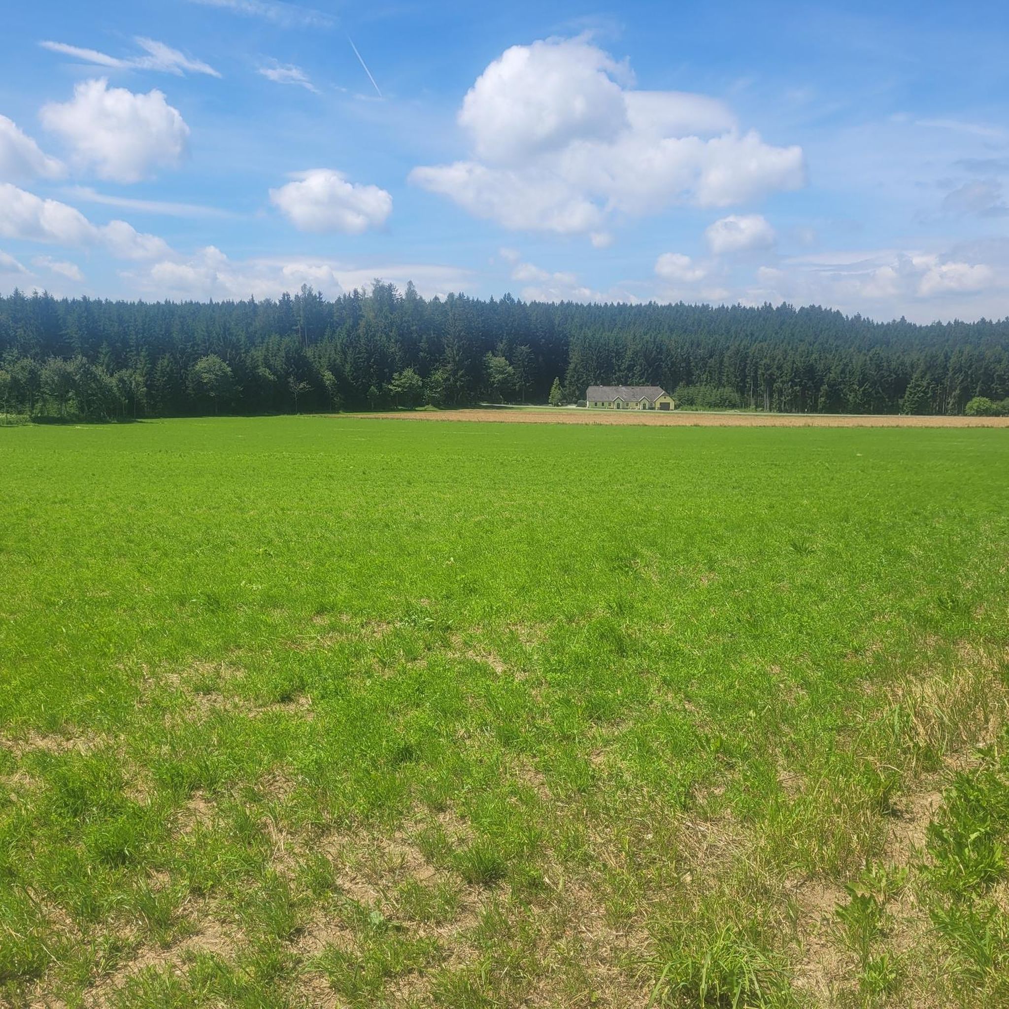

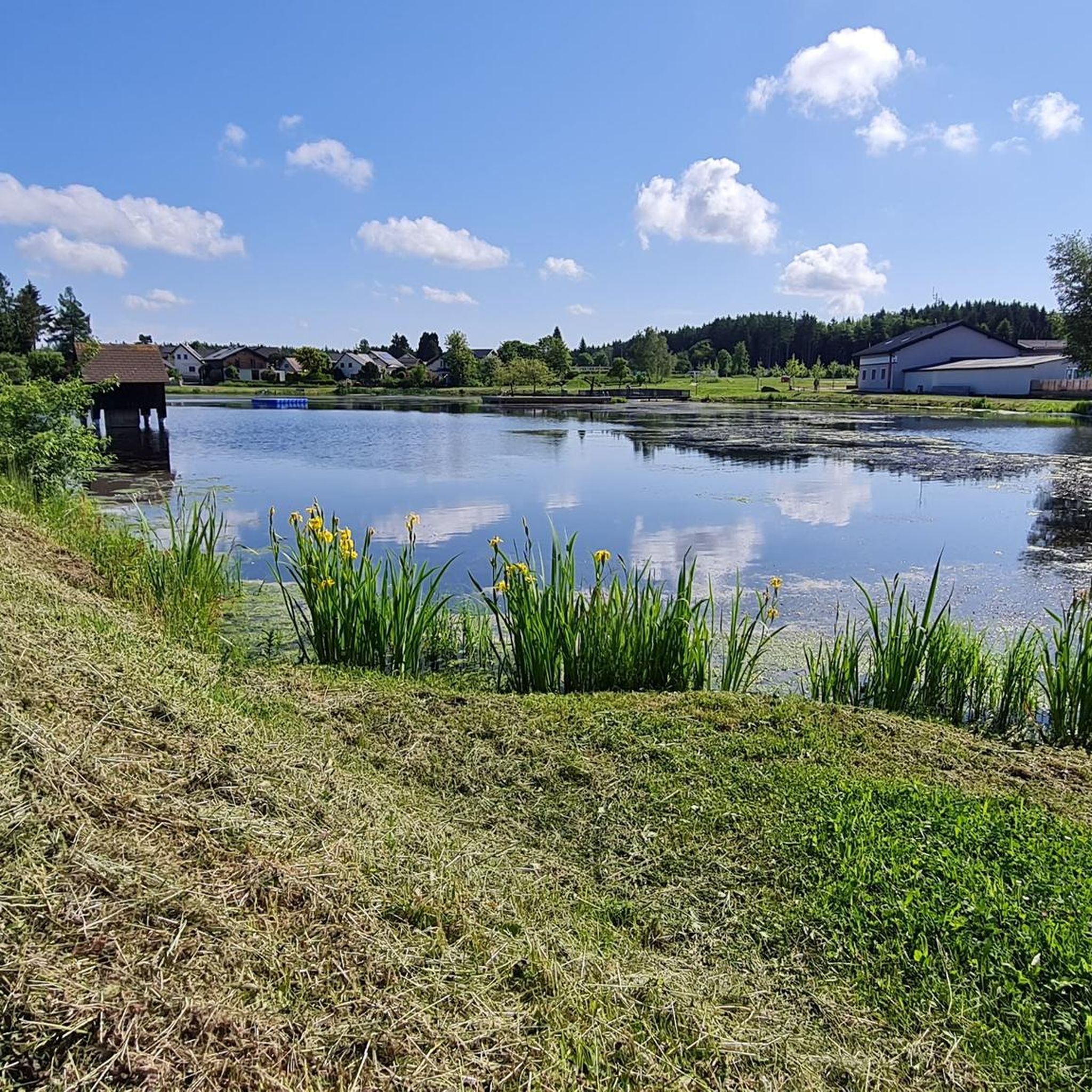
Tips from the Community

beautiful church on the main square of Spitz
0
0

The Hinterhaus ruin, also called Oberhaus, is an almost thousand-year-old defensive structure in Spitz an der Donau, on an offshoot of the Jauerling. It was first mentioned in 1243. The ruin, located in the Wachau region, is situated near the "Tausendeimerberg", a vineyard that yields a certain amount of grapes each year, and on a rocky ridge of the so-called Hausberg, a part of the Jauerling massif.
0
0
The historic old town of Zwettl in the Waldviertel captivates with medieval city walls, colorful baroque facades, and the colorful Hundertwasser fountain on the main square. Highlights include the Old Town Hall with its city museum, the striking Antonturm, and the nearby Zwettl Abbey (Cistercian monastery).
0
0
In 1163, a Romanesque wooden chapel stood in the place, which was consecrated to the patron of the Niederalteich monastery. The present-day church is a significant work of the late Gothic period and rises with its mighty west tower on the present-day church square.
0
0
The parish church of Spitz, consecrated to Saint Mauritius, is a significant religious and cultural landmark of the region. This impressive church invites visitors to discover its magnificent architecture and rich history. Dedicated to Saint Mauritius, the parish church radiates an atmosphere of peace and spirituality that has impressed visitors for centuries.
0
0

Drinking water fountain, which can be used on warm days as a wonderful opportunity to cool down and refill bottles
0
0
Between Klosterstraße and Schulturm, the city wall is integrated as an outer wall into the St.Martin retirement home and can be viewed from the adjacent car park. Numerous new breakthroughs will be made during the construction work at the retirement home.
0
0
Frequently Asked Questions
How many road cycling routes are available around Ottenschlag?
There are nearly 70 road cycling routes around Ottenschlag, offering a wide range of options for different skill levels and preferences. These routes traverse the rolling hills and forested landscapes of the Waldviertel region.
Are there road cycling routes suitable for beginners in Ottenschlag?
While many routes feature rolling hills, there are a few easier options available. For instance, routes with less significant elevation gain can be found, though the region is generally characterized by varied terrain. It's always best to check the route profile before you go.
What kind of terrain can I expect on road cycling routes near Ottenschlag?
The region around Ottenschlag is characterized by rolling hills, dense woodlands, and scenic river valleys. You'll encounter a mix of open fields and forested sections, providing varied and engaging terrain for road cyclists.
Are there challenging road cycling routes for experienced riders?
Yes, Ottenschlag offers several challenging routes for experienced road cyclists. For example, the Jauerling Observation Tower – View of Jauerling loop from Kirchschlag is a difficult 34.3-mile (55.2 km) route with significant elevation gain. Another demanding option is the Greinburg Castle – Yspertal loop from Kirchschlag, which covers 63.7 miles (102.5 km) through the Yspertal region.
Can I find long-distance road cycling routes in the Ottenschlag area?
Yes, there are several long-distance routes. The Greinburg Castle – Yspertal loop from Kirchschlag is a challenging 63.7-mile (102.5 km) ride, and the Arbesbach Castle Ruins – Zwettl loop from Ottenschlag is another difficult route spanning 62.5 miles (100.6 km).
Are there any circular road cycling routes around Ottenschlag?
Most of the road cycling routes around Ottenschlag are designed as loops, allowing you to start and end at the same point. Examples include the Pöggstall Castle – Burg Niederanna loop from Ottenschlag and the Hinterhaus Castle Ruins – Arnsdorf–Spitz ferry loop from Ottenschlag.
What are some scenic viewpoints or landmarks I can see while road cycling?
The region offers numerous scenic spots and historical landmarks. You might pass by the Burg Rappottenstein, a prominent castle, or natural monuments like Franzosenstein and Wachtstein, which often provide great views. Many routes also feature charming villages and open landscapes.
What do other cyclists say about road cycling in Ottenschlag?
The road cycling routes in Ottenschlag are highly rated by the komoot community, with an average score of 4.7 stars from more than 10 reviews. Cyclists often praise the varied terrain, the quiet roads, and the beautiful natural scenery of the Waldviertel region.
When is the best time of year for road cycling in Ottenschlag?
The best time for road cycling in Ottenschlag is typically from spring through early autumn (April to October). During these months, the weather is generally mild, and the landscapes are vibrant. Summer offers longer daylight hours, while spring and autumn provide cooler temperatures and beautiful foliage.
Are there places to stop for refreshments along the routes?
Many routes in the Waldviertel region pass through small towns and villages where you can find local inns, cafes, or bakeries for refreshments. It's advisable to check the route details or plan your stops in advance, especially on longer or more remote sections.
Where can I park my car when starting a road cycling tour in Ottenschlag?
Parking is generally available in the larger towns and villages, such as Ottenschlag itself or Kirchschlag, which serve as common starting points for many routes. Look for designated public parking areas, often near town centers or trailheads.
Can I combine road cycling with other activities, like visiting lakes?
Absolutely. The region around Ottenschlag features several beautiful lakes that can be incorporated into your cycling trips or visited separately. Highlights include the Upper Village Pond (Oberer Ortsteich), Lake Edlesberger, and Himmelteich, offering opportunities for a break or a picnic by the water.
Most popular routes around Ottenschlag
Most popular attractions around Ottenschlag

Get inspired with the komoot mobile app


Explore more
Browse the best Road cycling routes in other regions.
