The best cycling routes around Willstätt
4.6
(376)
2,053
riders
85
rides
Touring cycling around Willstätt offers routes primarily through the Upper Rhine Plain, characterized by its flat to gently rolling terrain. The landscape features extensive agricultural areas, river valleys such as the Kinzig and Rench, and access to charming historic towns. These routes provide opportunities for relaxed cycling, often following waterways and passing through open countryside.
Best touring cycling routes around Willstätt
- The most popular touring cycling route is Kinzigtor (Southern City Gate) – Gengenbach marketplace loop from Legelshurst, a…
Last updated: August 15, 2026
4.8
(59)
274
riders
Moderate bike ride. Good fitness required. Mostly paved surfaces. Suitable for all skill levels.
4.6
(66)
242
riders
50.6km
02:52
110m
110m
Moderate bike ride. Good fitness required. Mostly paved surfaces. Suitable for all skill levels.

Sign up for free
4.5
(75)
381
riders
54.3km
03:09
120m
120m
Moderate bike ride. Good fitness required. Mostly paved surfaces. Suitable for all skill levels.
4.7
(18)
71
riders
Hard bike ride. Very good fitness required. Mostly paved surfaces. Suitable for all skill levels.
4.6
(13)
34
riders
36.8km
02:18
120m
120m
Moderate bike ride. Good fitness required. Mostly paved surfaces. Suitable for all skill levels.
Get access to more routes and recommendations from other explorers.
Sign up for free
Already have an account?
Our route recommendations are based on thousands of hikes, rides, and runs completed by other people on komoot.
Start today with a free account
Your next adventure awaits.
Login or Signup
Tips from the Community

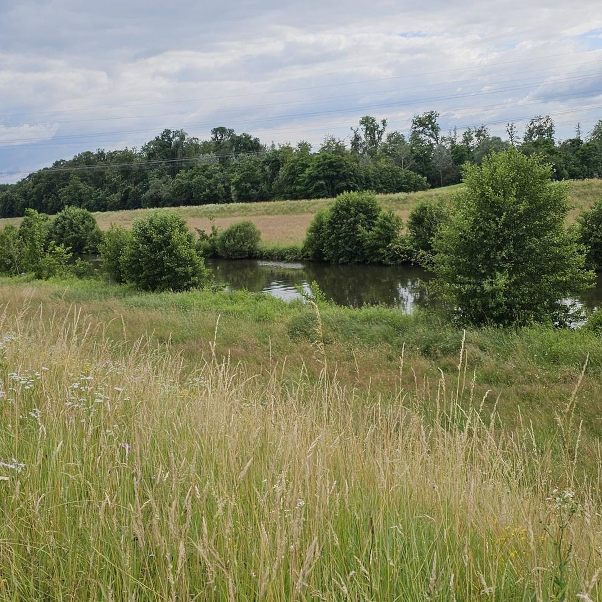
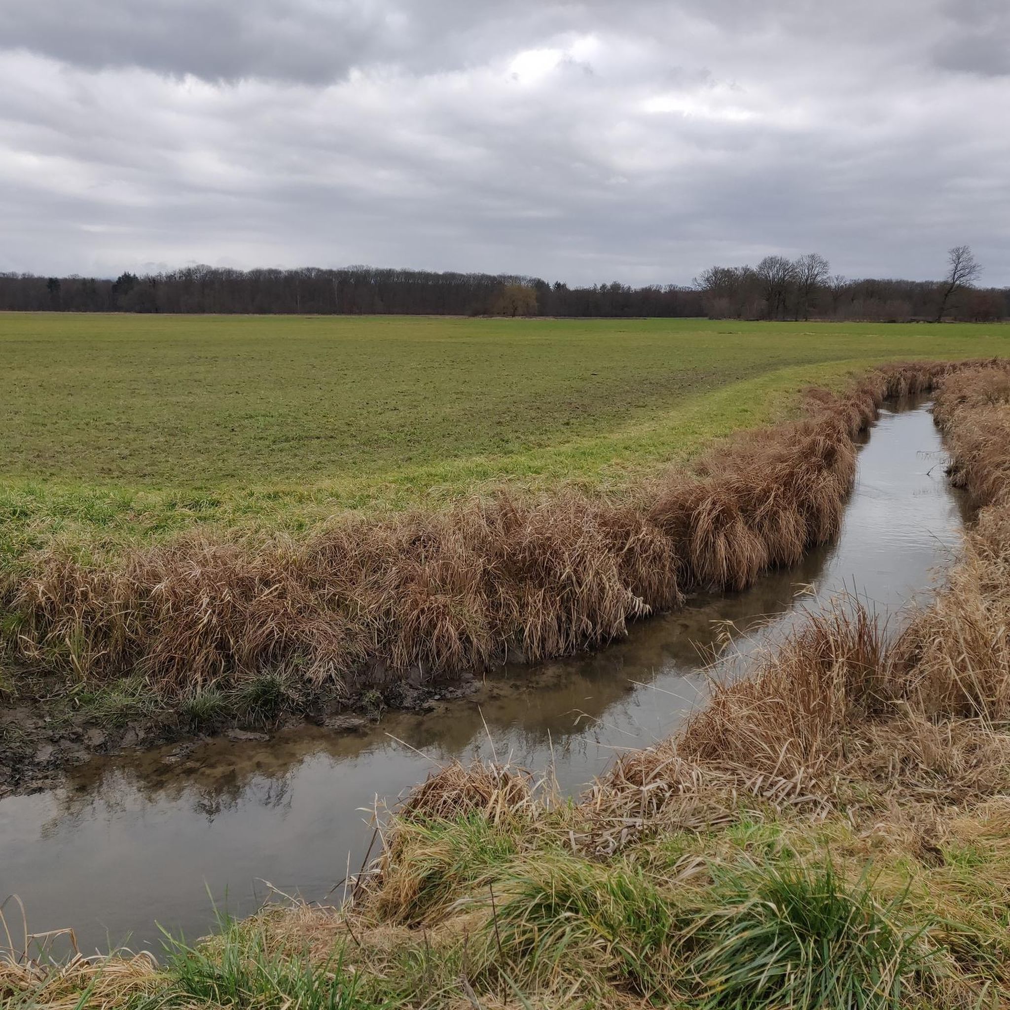
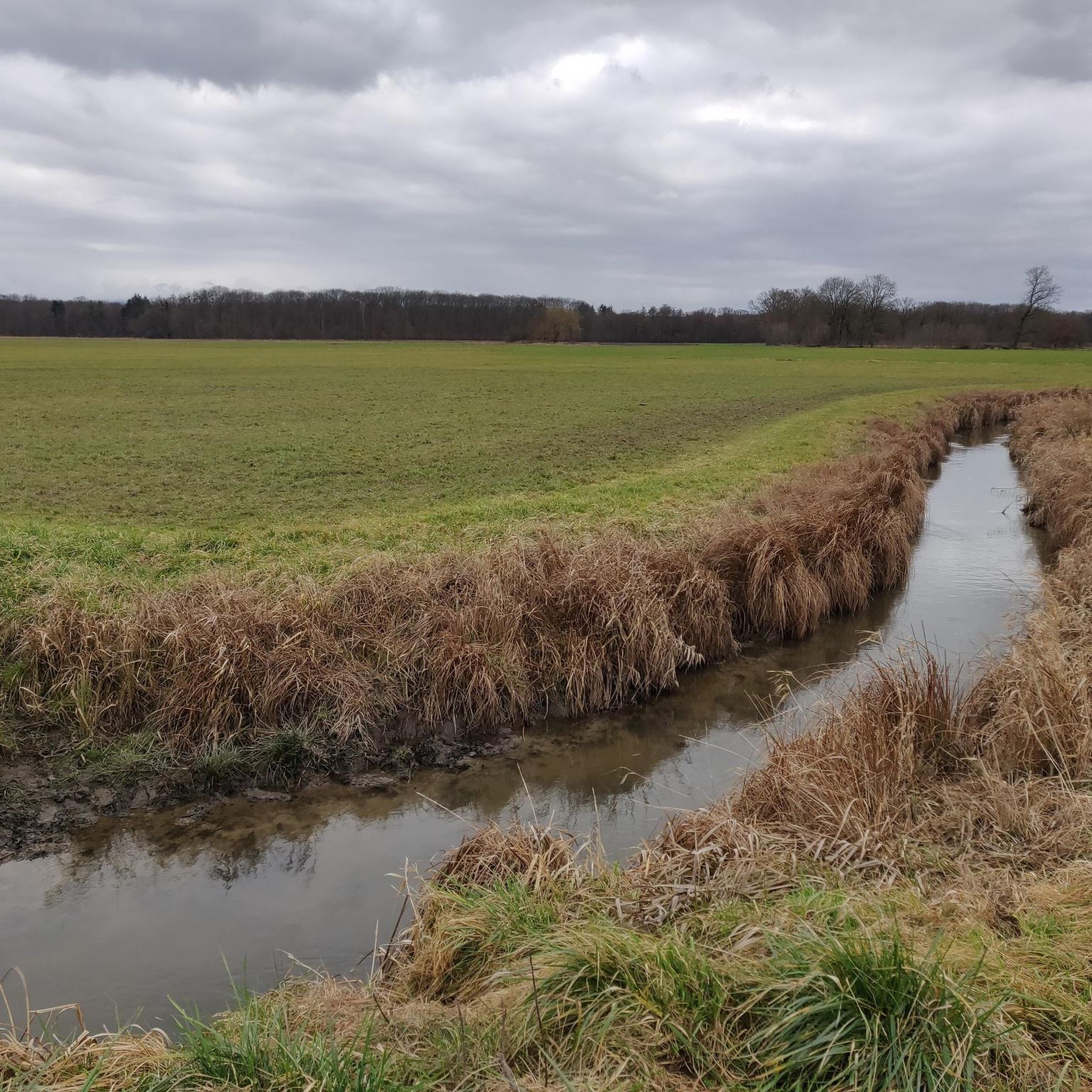
The Rench is 57 km long. It originates near the Zuflucht at an altitude of 915m. At Helmlingen, the Rench flows into the Rhine.
0
0

Beautiful, small old town with a nice pedestrian zone. Besides retail shops, there are also good restaurants and ice cream parlors there.
0
0

Old town, cozy and very beautiful. Lovely to sit for a stop along the way. StadsBakkerij Dreher is recommended (this applies to many locations in the area)
0
0

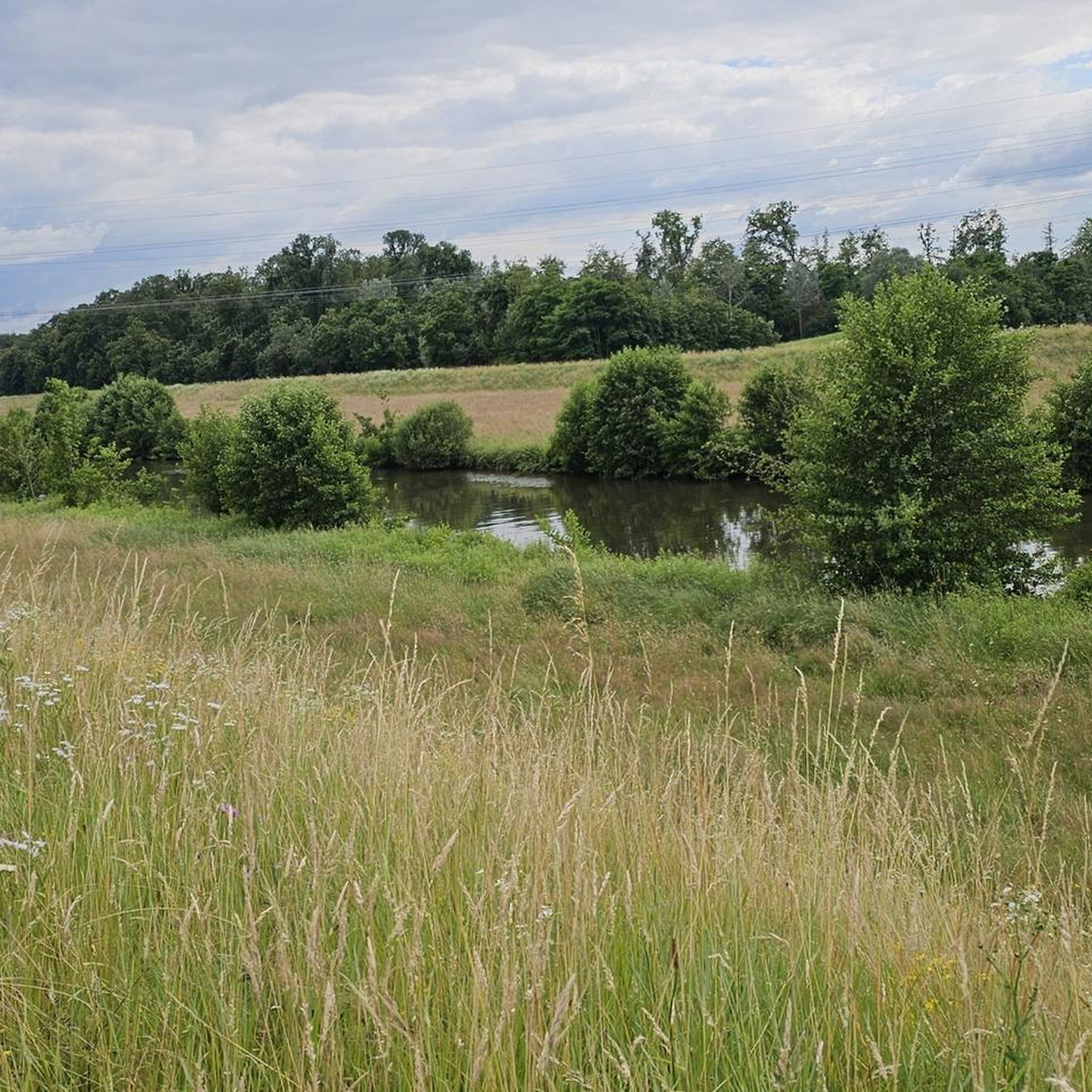
A wonderful gem of tranquility, naturalness, and a zone for many animals in the city
0
0
The Bridge of the Two Shores is a modern pedestrian and bicycle bridge over the Rhine, connecting the cities of Strasbourg and Kehl. Its French name is „Passerelle des Deux Rives“. The curved steel bridge was opened in 2004 on the occasion of the State Garden Show and is considered a symbol of German-French friendship and European cooperation. It is approximately 387 meters long and was designed by Austrian architect Dietmar Feichtinger. Particularly striking is its elegant arch shape with an observation platform in the middle of the Rhine. From there, you have a beautiful view of the Rhine landscape, the two cities, and the surrounding Garden of the Two Shores. The bridge is used exclusively by pedestrians and cyclists and is a popular destination for walks, bike tours, and excursions.
0
0

Amazing tour, passing through green forest areas and partially following the Rhein river it’s definitely worth doing this route. Highly remommended!!!
0
0

One of the bridges in Offenburg that crosses the Kinzig.
1
0
Die Kinzig ist ein Fluss der den Mittleren Schwarzwald und die Oberrheinische Tiefebene auf einer Länge von 93 km durchfließt. Die Kinzig entspringt in Loßburg die Mündung in Kehl-Auenheim.
1
0
Frequently Asked Questions
What is the general terrain like for touring cycling around Willstätt?
Touring cycling routes around Willstätt primarily traverse the Upper Rhine Plain. This region is characterized by flat to gently rolling terrain, making it suitable for relaxed cycling. You'll find extensive agricultural areas, river valleys such as the Kinzig and Rench, and open countryside.
How many touring cycling routes are available in the Willstätt area?
There are over 60 touring cycling routes available around Willstätt on komoot, catering to various preferences and skill levels. This includes a good mix of easy, moderate, and some more challenging options.
Are there any easy touring cycling routes suitable for beginners or families?
Yes, Willstätt offers many easy routes. For a relaxed ride, consider the Kinzig River in Offenburg – Offenburg Town Hall loop from Eckartsweier. This 15.4-mile (24.8 km) route has minimal elevation gain and takes about 1 hour 30 minutes, making it ideal for a leisurely outing.
What kind of elevation gain can I expect on touring cycling routes in Willstätt?
Most touring cycling routes in Willstätt feature relatively low elevation gain, consistent with the Upper Rhine Plain's flat to gently rolling terrain. For example, the Rheinauen Wilderness Trail – Kittersburger Mühle Beer Garden loop from Legelshurst has only about 190 feet (58 meters) of ascent over its 21.1 miles (34 km).
Are there any circular touring cycling routes around Willstätt?
Many routes in the Willstätt area are designed as loops, allowing you to start and end at the same point. An example is the Rench Dam Trail – Rench River at Stadelhofen loop from Legelshurst, a 22.9-mile (36.9 km) trail that follows the Rench river valley.
What are some notable landmarks or attractions I can see along the touring cycling routes?
The region around Willstätt offers several interesting sights. You might encounter historic town centers like Gengenbach, or natural features along the Kinzig and Rench rivers. Nearby attractions include the impressive Strasbourg Cathedral, the unique Footbridge of the Two Banks, and the historic Staufenberg Castle.
What do other touring cyclists enjoy most about cycling in Willstätt?
The area is highly rated by the komoot community, with an average score of 4.8 stars from over 190 reviews. Cyclists often praise the well-maintained paths, the scenic river valleys, and the opportunity to combine natural beauty with visits to charming historic towns.
Is public transport available to access touring cycling routes in Willstätt?
Willstätt and its surrounding towns are generally well-connected by local public transport, including regional trains and buses. Many routes are accessible from train stations, allowing for flexible start and end points. It's advisable to check local transport schedules and bicycle carriage policies in advance.
What is the best time of year for touring cycling around Willstätt?
The best time for touring cycling in Willstätt is typically from spring through autumn (April to October). During these months, the weather is generally mild and pleasant, with less rainfall, making for comfortable riding conditions. Summer offers longer daylight hours, while spring and autumn provide beautiful natural scenery.
Are there any more challenging touring cycling routes in the Willstätt area?
While many routes are easy, there are options for those seeking a greater challenge. The Kornebene Nature Friends House – Gengenbach Old Town loop from Legelshurst is a difficult 43.4-mile (69.8 km) path with significant elevation gain, combining natural areas with cultural landmarks.
Are there options for parking near the touring cycling routes in Willstätt?
Yes, many starting points for touring cycling routes in and around Willstätt offer convenient parking facilities. Towns like Legelshurst, Offenburg, and Gengenbach typically have public parking areas that can be used by cyclists. It's always a good idea to check specific route descriptions for recommended parking spots.
Most popular routes around Willstätt
Most popular attractions around Willstätt

Get inspired with the komoot mobile app


Explore more
Browse the best Cycling routes in other regions.
