The best MTB trails in the Wind River Range
4.5
(3)
17
riders
6
rides
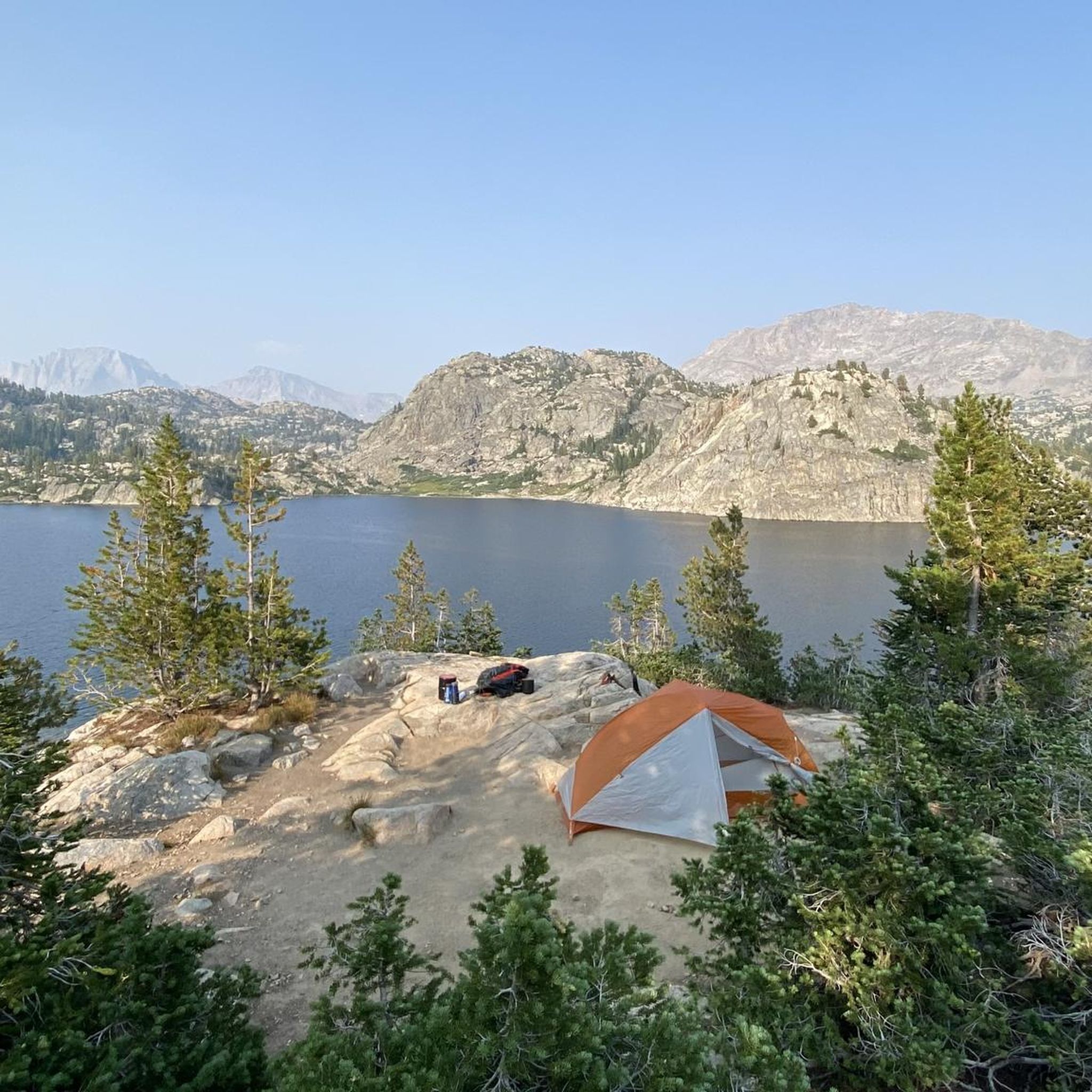
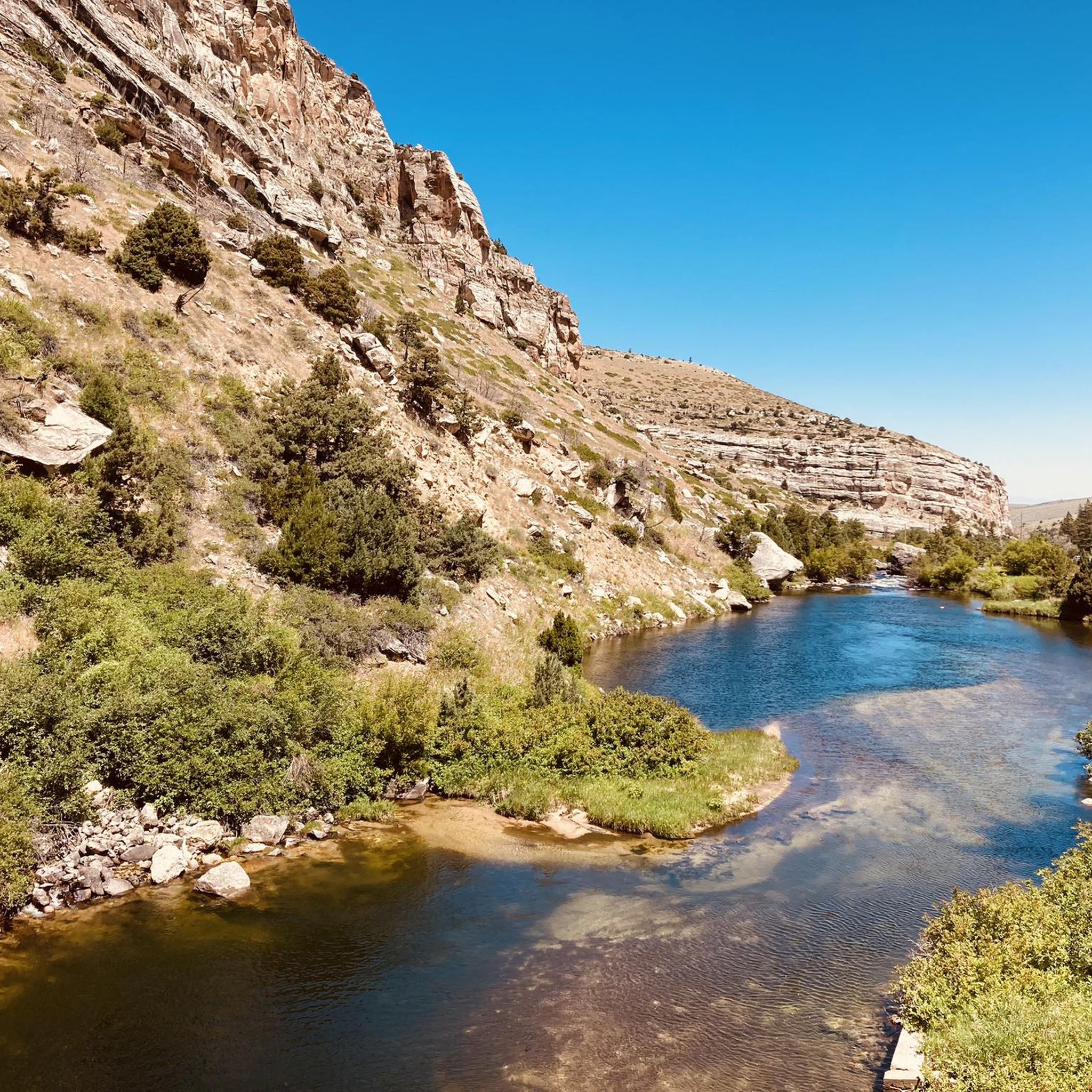
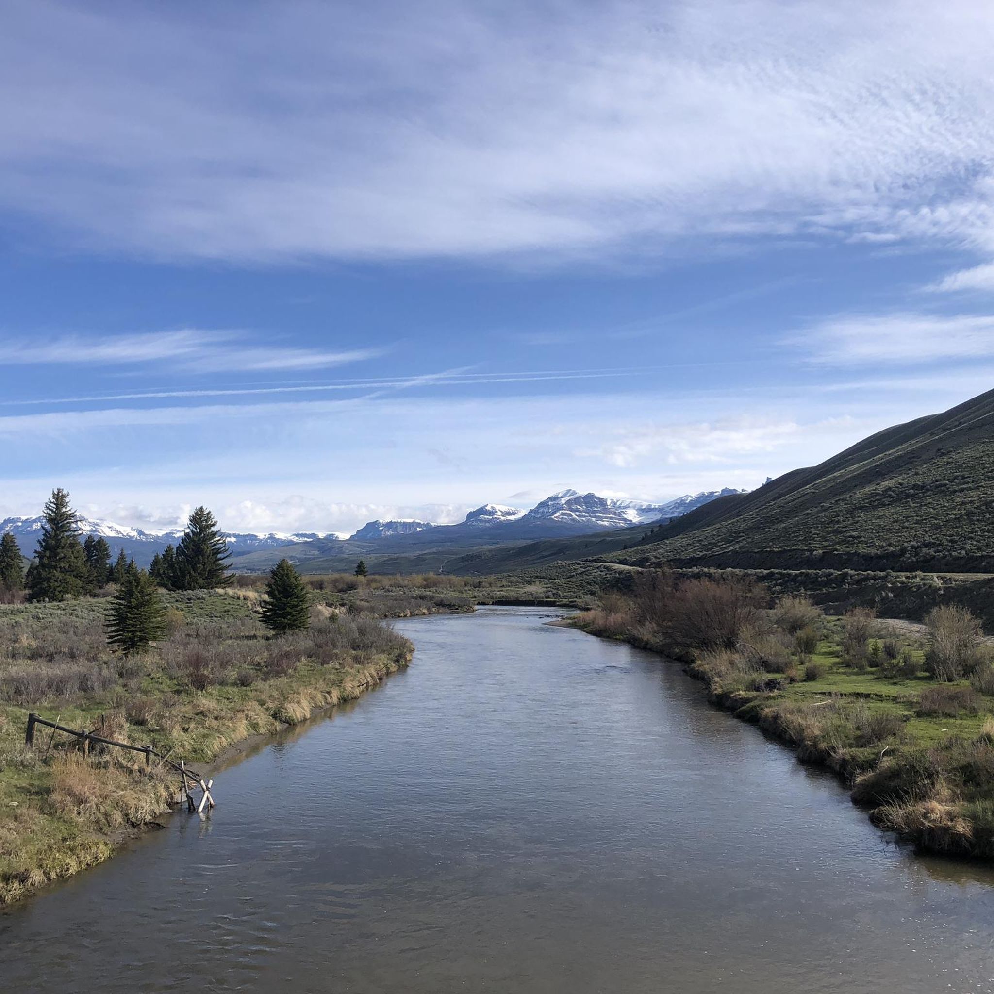
Mountain biking in the Wind River Range offers diverse terrain within the Rocky Mountains, characterized by jagged granite peaks, alpine forests, and expansive meadows. The region features a network of trails that navigate through a mix of landscapes, providing varied experiences for riders. Riders can expect to encounter rocky sections, singletrack, and natural features across different elevations.
Best mountain bike trails in the Wind River Range
- The most popular mountain bike trail is Ditch to Horsetail, a 12.6 miles (20.2 km) trail that takes 2 hours 29 minutes to complete. This moderate route offers a rugged backcountry mountain biking experience.
- Another top favourite among local mountain bikers is Shadow Mountain Loop, a difficult 7.6 miles (12.2 km) path. This trail features varied terrain and offers views of the surrounding mountain landscape.
- Local mountain bikers also love the USFS Trails loop, an 8.5 miles (13.7 km) trail leading through alpine forests and meadows, often completed in about 1 hour 21 minutes.
- Mountain biking in the Wind River Range is defined by granite peaks, alpine forests, and expansive meadows. The network offers options for various ability levels, from easy paths to challenging routes with technical features.
- The routes in Wind River Range are highly rated by the komoot community with an average score of 4.5 stars from a few reviews. More than 20 mountain bikers have used komoot to explore Wind River Range's varied terrain.
Last updated: August 17, 2026
4.0
(2)
2
riders
20.2km
02:29
800m
800m
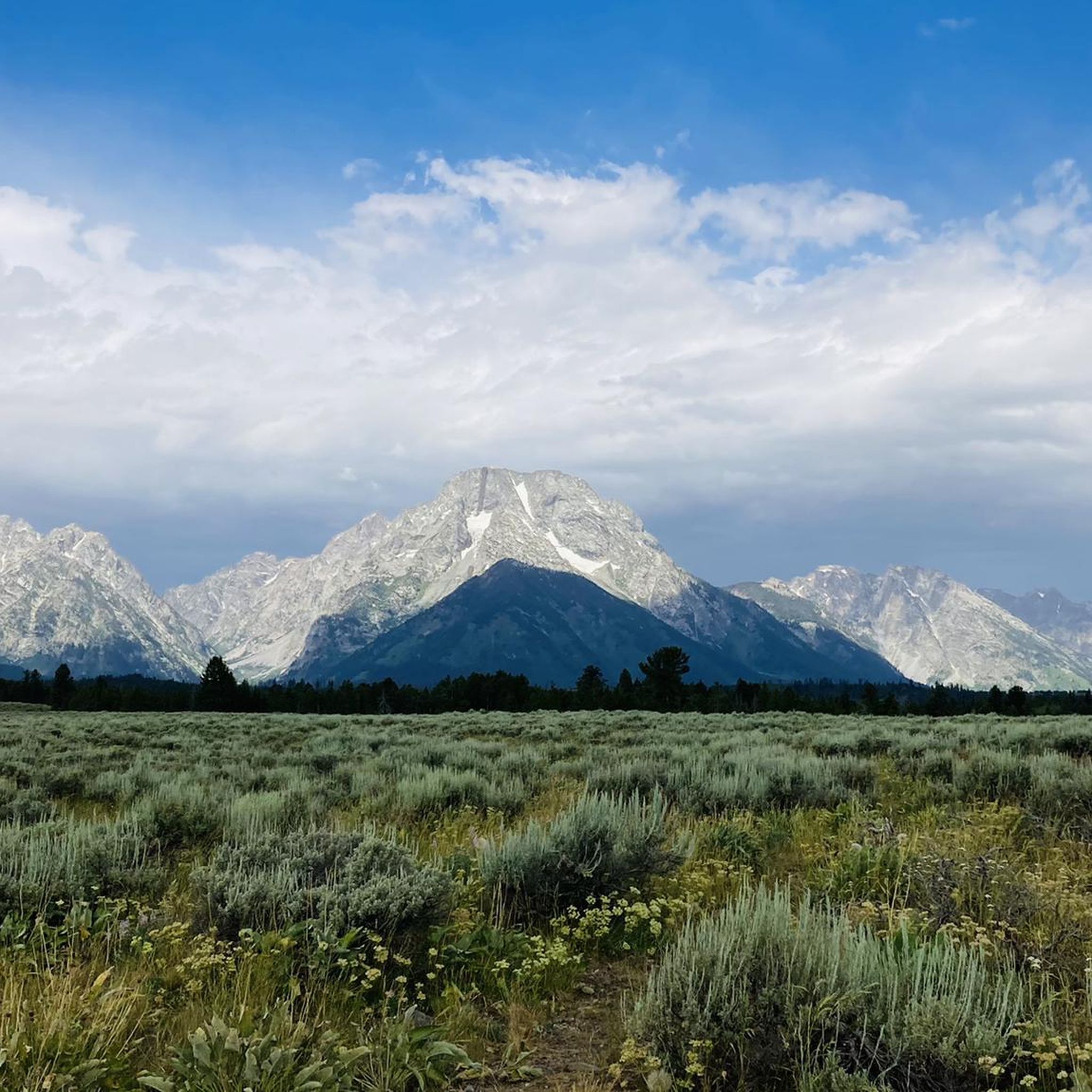
Embark on the Ditch to Horsetail mountain biking route for a moderate adventure through the rugged backcountry near Jackson, Wyoming. This trail spans 12.6 miles (20.2 km) and features a significant elevation gain of 2632 feet (802 metres), providing a rewarding challenge. You can expect to complete this journey in about 2 hours and 29 minutes, all while enjoying the majestic Teton mountain range as a dramatic backdrop.
When planning your visit, be aware that this route offers flexibility; you can complete it as a loop or opt for a shuttle assisted ride. A critical safety consideration for your mountain biking adventure is that the trail traverses grizzly bear country, so carrying and knowing how to use bear spray is highly recommended. Understanding the terrain's elevation difficulty is key for a successful and enjoyable ride.
This route is known for its pure, untamed backcountry beauty, offering a truly wild experience, especially on the Horsetail Creek Trail descent. However, be prepared for potential challenges on the Ditch Creek section, which may include downed trees and boggy areas. These elements add to the adventure, making the Ditch to Horsetail a notable and unique mountain biking experience in the Bridger-Teton National Forest.
5.0
(1)
2
riders
12.2km
01:26
410m
410m
Embark on a difficult mountain biking adventure along the Shadow Mountain Loop, a 7.6 miles (12.2 km) route that climbs 1344 feet (410 metres) in about 1 hour and 26 minutes. You will experience an authentic wilderness ride, navigating through aspens and wildflowers, with classic downhill sections featuring tight S turns, root drops, and small rock sections. The trail offers expansive views of the Teton Range, especially rewarding after the significant uphill climb on a forest service dirt road.
For your visit, be sure to carry ample water and snacks, as there are no water sources available on Shadow Mountain. You should also be aware of potential wildlife encounters, including bears, while on the trail. While the route can be ridden as a full loop, many mountain bikers choose to shuttle the uphill road section to maximize their enjoyment of the exhilarating downhill singletrack.
This challenging route is nestled within the Bridger-Teton National Forest, providing a true backcountry biking experience without man-made features. The natural terrain and varied sections make it a notable option for advanced riders seeking a memorable ride in the region. It stands out for its raw, untamed character and the stunning vistas it provides of the surrounding landscape.

Sign up for free
13.7km
01:21
270m
280m
This easy 8.5-mile mountain biking loop in Bridger-Teton National Forest offers scenic views of the Teton Range and wildlife spotting.
12
riders
15.5km
01:50
560m
560m
Hard mountain bike ride. Good fitness required. Advanced riding skills necessary. Some portions of the route may require you to push your bike.
4.0
(1)
5
riders
Easy mountain bike ride. Great for any fitness level. Suitable for all skill levels.
Our route recommendations are based on thousands of hikes, rides, and runs completed by other people on komoot.
Start today with a free account
Your next adventure awaits.
Login or Signup
Tips from the Community


Up to this point, cyclists and motorists share the narrow road coming from Teton Village.
0
0
Surprising to find a bike path here.
0
0

Jenny Lake is a beautiful lake at the base of the Tetons in Grand Teton National Park. The stunning views of Teewinot Mountain, Mount St. John, and Cascade Canyon over the water, the small Visitor Center and Interpretive Trail, and the multitude of popular trails that leave from its southeastern shores make it one of the visited areas in the entire park. After checking out this overlook hikers can travel around the lake in a loop, visit Hidden Falls, and Inspiration Point, or travel into the backcountry up Cascade Canyon toward Lake Solitude.
0
0

From the summit of Shadow Mountain you'll have a 360° view of the surrounding area, including the majestic Grand Tetons. After catching your breath and having a rest, take one of the trails down for a fun bit of downhill.
0
0

Jenny Lake is a beautiful glacial lake at the base of the Teton Range. It was formed approximately 12,000 years ago and is about 1,191 acres.
0
0

Residing just north of Shadow Mountain are a grouping of forest roads/trails that provide a flatter non-technical riding experience. This course would be most suitable to a gravel bike or XC MTB as a slack trail bike may be a bit too much.
0
0
Frequently Asked Questions
What kind of terrain can I expect when mountain biking in the Wind River Range?
The Wind River Range offers diverse terrain, characterized by jagged granite peaks, alpine forests, and expansive meadows. You'll encounter a mix of rocky sections, singletrack, and natural features across varying elevations. Trails can range from easy, flat paths to challenging routes with steep sections, rocks, and roots, providing a rewarding experience for different skill levels.
Are there mountain bike trails suitable for beginners or families in the Wind River Range?
Yes, the Wind River Range offers options for various ability levels. While some trails are challenging, there are also easy paths available. For example, the USFS Trails loop is rated as easy and leads through alpine forests and meadows, making it a good option for those seeking a less strenuous ride.
What are some challenging mountain bike trails in the Wind River Range?
For experienced riders seeking a challenge, the Wind River Range has several difficult routes. The Shadow Mountain Loop is a difficult path featuring varied terrain and views. Other challenging options include the Shadow Mountain Summit – Shadow Mountain Trail loop from Moose and the Shadow Mountain Summit – Shadow Mountain Trail loop from Shadow Mountain, both offering significant elevation changes.
What natural features or landmarks can I see while mountain biking in the Wind River Range?
The Wind River Range is rich in natural beauty. While riding, you might encounter stunning views of towering peaks and alpine lakes. Notable attractions in the wider region include the dramatic Cirque of the Towers, known for its sheer granite peaks, and Sinks Canyon of the Popo Agie, where a river vanishes underground. You can also find viewpoints like Photographer's Point and Snake River Overlook, and beautiful lakes such as Shadow Lake, Seneca Lake, and Island Lake.
Are there any waterfalls accessible from mountain bike trails in the Wind River Range?
Yes, the Wind River Range is home to numerous water features. You can find the Middle Falls Fork Trail, which leads to a waterfall, among other highlights in the region. The range is known for its abundant lakes and rivers, serving as headwaters for major rivers.
What is the best time of year for mountain biking in the Wind River Range?
The best time for mountain biking in the Wind River Range is typically during the warmer months, from late spring through early fall. This period offers the most favorable weather conditions and ensures trails are clear of snow. However, conditions can vary, so it's always advisable to check local trail reports before heading out.
Are there any loop mountain bike trails in the Wind River Range?
Yes, there are several loop trails available for mountain biking. The Shadow Mountain Loop and the USFS Trails loop are examples of routes that allow you to start and finish in the same location. The region also features the Grouse Mountain Loop, which offers both technical and flowy sections.
Can I bring my dog on mountain bike trails in the Wind River Range?
While many areas in the Wind River Range are dog-friendly, especially in national forests, specific regulations can vary depending on the trail and its designation (e.g., wilderness areas often have stricter rules). It's always best to check with the local land management agency for the specific trail you plan to ride to confirm dog allowances and leash requirements.
What do other mountain bikers say about the trails in the Wind River Range?
The mountain bike routes in the Wind River Range are highly rated by the komoot community, with an average score of 4.5 stars from several reviews. Riders often praise the varied terrain, from alpine forests to meadows, and the overall rewarding experience of exploring this rugged section of the Rocky Mountains.
Where can I find parking for mountain bike trailheads in the Wind River Range?
Parking availability varies by trailhead. Many trailheads within the national forests and state parks in the Wind River Range offer designated parking areas. For specific routes like Ditch to Horsetail, you would typically find parking at the start of the trail. It's recommended to research the specific trailhead you plan to use for detailed parking information.
Are there any cafes or amenities near the mountain bike trails in the Wind River Range?
While the Wind River Range is vast and much of it is wilderness, towns like Lander, Dubois, Riverton, and Pinedale, located near the range, offer various amenities including cafes, pubs, and accommodation. These towns serve as good bases for exploring the mountain bike trails and provide options for refreshments and supplies before or after your ride.
Most popular routes in the Wind River Range
Most popular attractions in the Wind River Range

Get inspired with the komoot mobile app


