The best running trails around West Deeping
4.5
(46)
2,472
runners
217
runs
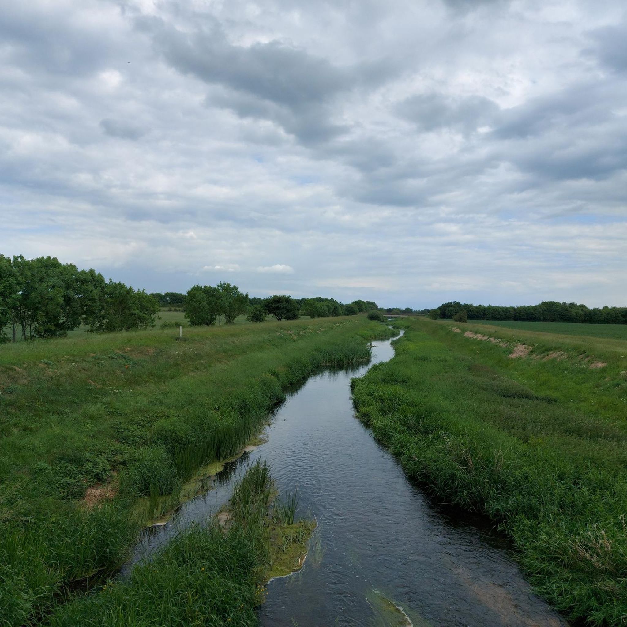
Jogging routes around West Deeping are characterized by the flat, open terrain of the Deepings area in Lincolnshire. The landscape features tranquil riverside paths along the River Welland and expansive open fields and meadows. This topography minimizes challenging ascents, making it suitable for steady-paced runs. Historical routes, such as sections of the Roman road of King Street, can also be incorporated into runs, adding interest to the natural surroundings.
Best jogging routes around West Deeping
- The most popular jogging route…
Last updated: September 3, 2026
24
runners
5.30km
00:33
10m
10m
Moderate run. Good fitness required. Mostly paved surfaces. Suitable for all skill levels.
3.0
(1)
11
runners
9.40km
00:59
10m
10m
Moderate run. Good fitness required. Mostly paved surfaces. Suitable for all skill levels.

Sign up for free
10
runners
5.46km
00:34
0m
0m
Moderate run. Good fitness required. Mostly paved surfaces. Suitable for all skill levels.
12
runners
6.16km
00:38
10m
10m
Moderate run. Good fitness required. Mostly paved surfaces. Suitable for all skill levels.
7
runners
11.0km
01:08
10m
10m
Moderate run. Good fitness required. Mostly paved surfaces. Suitable for all skill levels.
Get access to more routes and recommendations from other explorers.
Sign up for free
Already have an account?
Our route recommendations are based on thousands of hikes, rides, and runs completed by other people on komoot.
Start today with a free account
Your next adventure awaits.
Login or Signup


Tips from the Community


Scenic bridge providing a quiet route over the Welland into Deeping.
0
0

There are 2 pubs near the bridge and a couple of cafes in village centre within 1/4 mile. Get a coffee and sit by the river for a good rest stop.
0
0

Take care here. The bridge has a blind crest and is narrow (cars width) so be prepared to stop and don't try and squeeze by
1
0

The Packhorse Bridge at Deeping St. James was built in 1651, just after the English Civil War. The bridge is narrow, with refuge ledges either side of the bridge for pedestrian safety. A marker on the side of the bridge indicates the high level of the water during the floods of 1880.
2
0

Frequently Asked Questions
How many running routes are available around West Deeping?
There are over 230 running routes available around West Deeping, catering to various skill levels. This includes 29 easy routes, 171 moderate routes, and 33 more challenging options.
What is the terrain like for running in West Deeping?
The terrain around West Deeping is generally flat and open, characteristic of the Deepings area in Lincolnshire. You'll find tranquil riverside paths along the River Welland, expansive open fields, and meadows. This flat topography minimizes challenging ascents, making it ideal for steady-paced runs.
Are there easy running routes suitable for beginners in West Deeping?
Yes, West Deeping offers 29 easy running routes perfect for beginners or those looking for a gentle jog. These routes often follow flat paths along the river or through open fields, providing a pleasant and accessible experience.
What do other runners think about the trails in West Deeping?
The running trails in West Deeping are highly rated by the komoot community, with an average score of 4.5 stars from over 30 reviews. Runners often praise the tranquil riverside paths, open fields, and the historical elements that add interest to the routes.
Are there any circular running routes in West Deeping?
Yes, circular routes are popular in the Deepings countryside, connecting West Deeping with nearby areas like Market Deeping. These routes often utilize public footpaths, fields, and riverside paths, offering varied scenery. For a moderate option, consider the Running loop from Northborough, which is 6.1 km long.
Can I run along the River Welland in West Deeping?
Absolutely! The River Welland meanders through the Deepings, providing scenic and relatively flat banks perfect for running. These paths are easily accessible and suitable for all skill levels, allowing you to enjoy views of the river and spot local wildlife. A great option is the Running loop from Deeping Gate, which covers 11 km along the river.
Are there family-friendly running trails in West Deeping?
Many of the flatter, easily accessible paths along the River Welland and through open fields are suitable for families. The generally flat terrain minimizes difficulty, making it enjoyable for various ages. Look for the 'easy' graded routes for the most family-friendly options.
Are the running routes in West Deeping dog-friendly?
Many of the public footpaths and open field routes around West Deeping are suitable for running with dogs, provided they are kept under control, especially near livestock. Always check local signage for specific restrictions, but generally, the open nature of the area makes it a good choice for dog owners.
What historical landmarks or natural features can I see while jogging near West Deeping?
While jogging, you can encounter several interesting features. The Roman road of King Street passes through West Deeping, offering a route with historical significance. You might also spot the 14th-century St Andrew's Church in West Deeping or old water mills. Further afield, the Packhorse Bridge at Deeping St. James is a notable 17th-century landmark. The River Welland itself is a significant natural feature, offering opportunities to see local wildlife.
Where can I find parking for running routes in West Deeping?
While specific parking areas for each route aren't detailed, the village of West Deeping and surrounding areas typically offer roadside parking or small public car parks. For routes starting from specific villages, look for available parking within those communities. It's advisable to check local maps or signage upon arrival.
Are there options for public transport to access running trails in West Deeping?
Public transport options directly to trailheads in West Deeping may be limited. The area is primarily accessed by car. However, local bus services connect West Deeping to larger towns like Market Deeping and Stamford, from which you might be able to access some routes. Checking local bus schedules for the Deepings area is recommended.
What is a good moderate running route to explore the area?
For a moderate run that offers a good exploration of the area, consider the Barholm Church – Greatford loop from Barholm and Stowe. This 9.4 km (5.8 miles) route guides runners through open fields and past historical points of interest, including Barholm Church, and typically takes about 1 hour to complete.
Most popular attractions around West Deeping

Get inspired with the komoot mobile app


Explore more
Browse the best Running Trails & Routes in other regions.
