The best walks and hikes around Woggersin
4.5
(994)
6,030
hikers
451
hikes
Hiking around Woggersin offers diverse natural landscapes in Mecklenburg-Vorpommern, Germany. The region is characterized by green expanses and varied terrain, with Lake Tollense serving as a prominent natural feature. Trails often pass through areas with historical significance, including water management systems. The area provides a serene backdrop for outdoor activities.
Best hiking trails around Woggersin
- The most popular hiking route is Reitbahnsee – Reitbahnsee Water Ski Facility loop from Woggersin, a 7.6 miles (12.3 km) trail that takes 3…
Last updated: July 8, 2026
4.3
(9)
37
hikers
12.3km
03:07
30m
30m
Moderate hike. Good fitness required. Easily-accessible paths. Suitable for all skill levels.
4.5
(10)
27
hikers
5.55km
01:28
50m
40m
Easy hike. Great for any fitness level. Easily-accessible paths. Suitable for all skill levels.

Sign up for free
4.7
(3)
9
hikers
Easy hike. Great for any fitness level. Easily-accessible paths. Suitable for all skill levels.
4.0
(1)
7
hikers
Easy hike. Great for any fitness level. Easily-accessible paths. Suitable for all skill levels.
5.0
(1)
5
hikers
14.8km
03:49
80m
80m
Moderate hike. Good fitness required. Easily-accessible paths. Suitable for all skill levels.
Get access to more routes and recommendations from other explorers.
Sign up for free
Already have an account?
Our route recommendations are based on thousands of hikes, rides, and runs completed by other people on komoot.
Start today with a free account
Your next adventure awaits.
Login or Signup
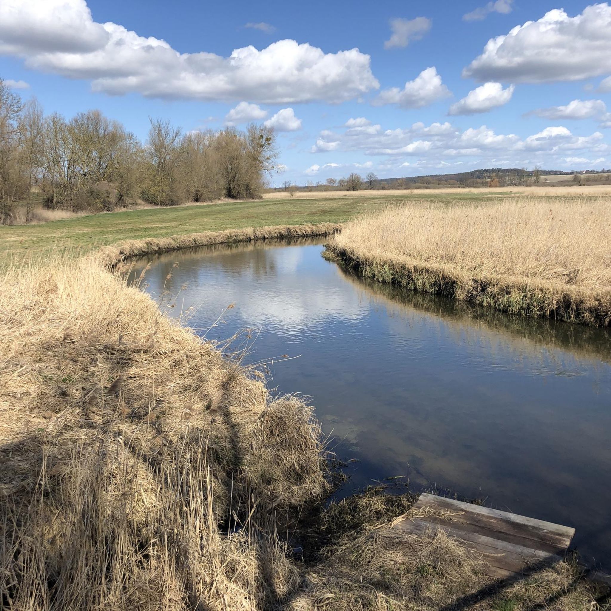
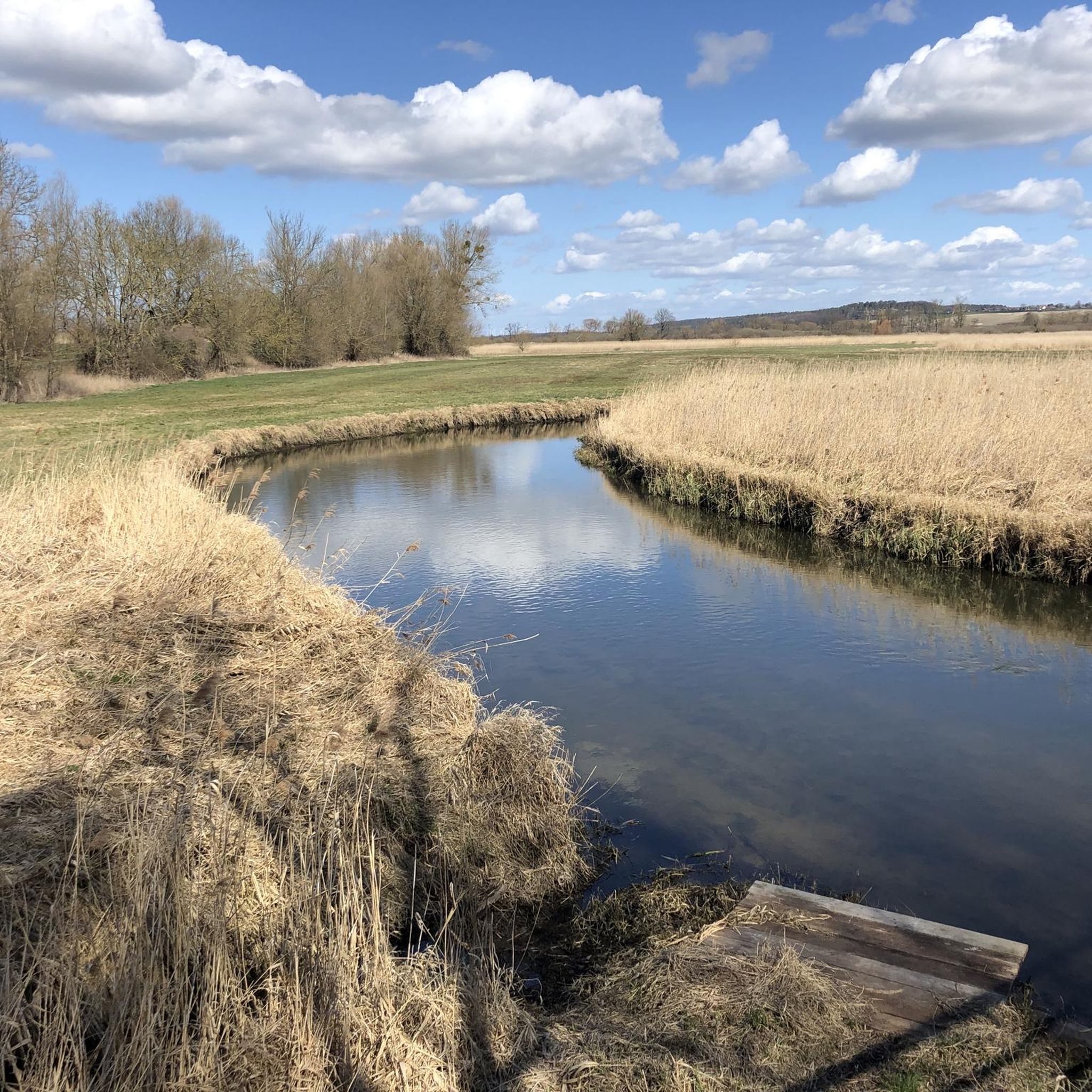
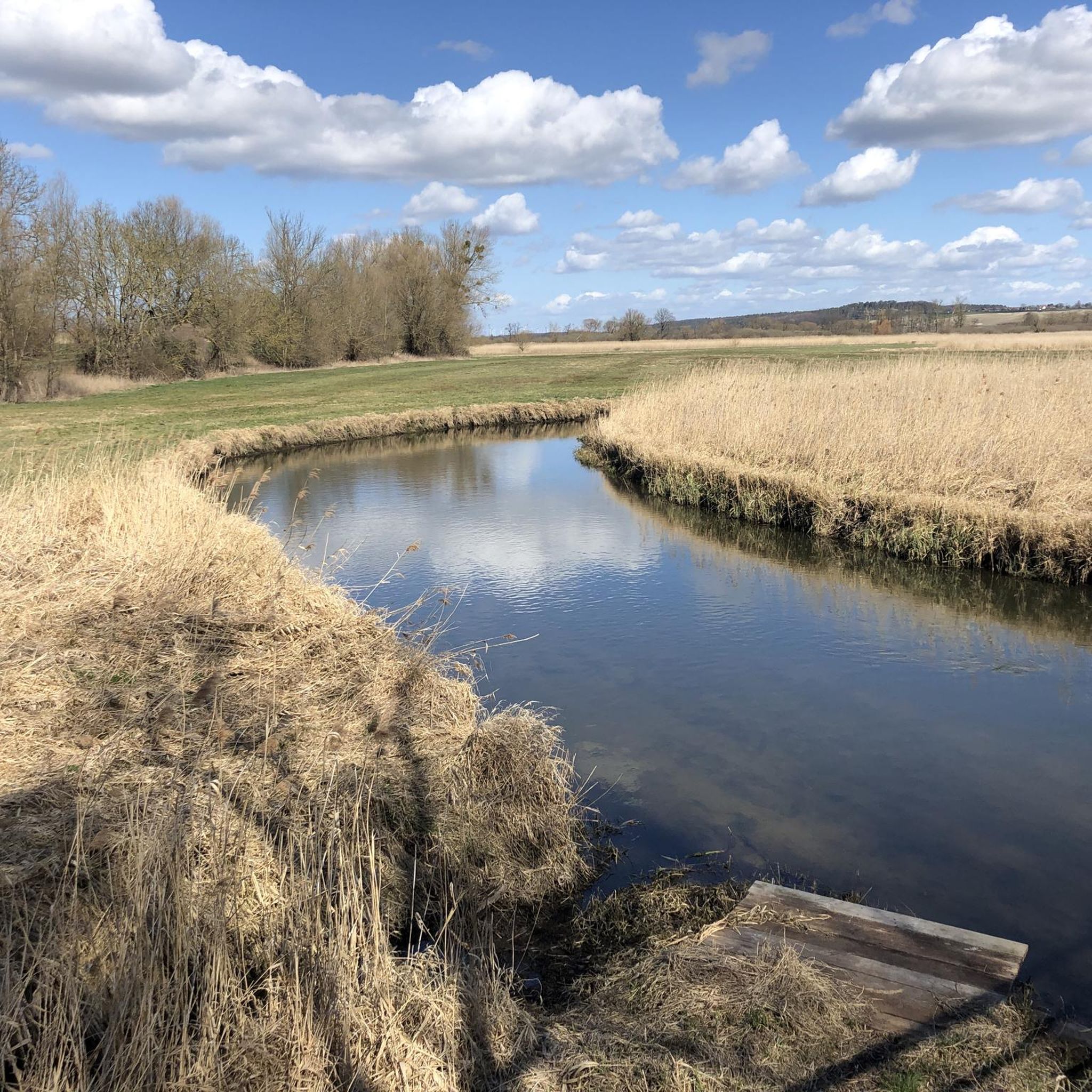
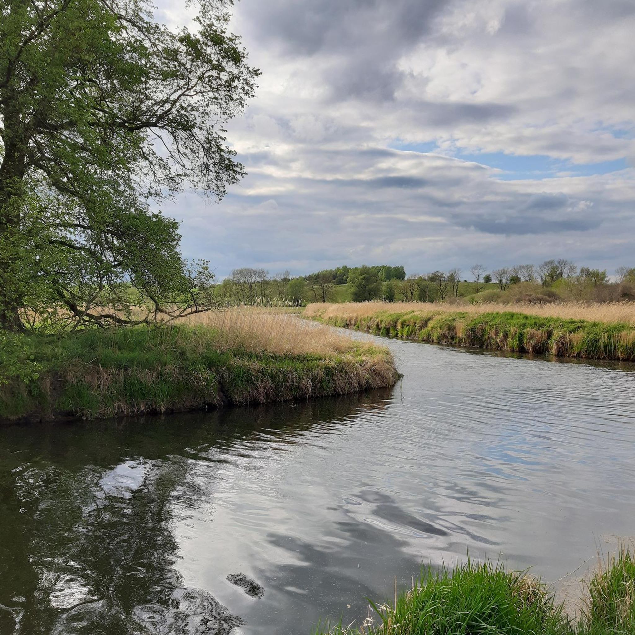

Tips from the Community

An ancient oak tree can be found here, along with a bench next to it for gazing down into the valley.
1
0


The mill is a bit dilapidated, but actually still TÜVig. Everything is still there. The last miller of the Hoffschild dynasty made fodder meal from time to time. I've seen it myself. The water wheel and the wheel house are gone. Two turbines are installed for this. The miller bought a new bike about 25 years ago. It lies next to the mill and is slowly breaking down.
0
0

The boulder is worth the little extra round. It was split in two by a tank shell in World War II and is now unfortunately weathering a little faster. It is a pity that it can only be viewed through a fence.
0
0

At first I was a little hesitant to hike the mountain. No wonder, since it bears the ominous name Mörderberg ... After the arduous ascent, I had a wonderful view of the city of Neubrandenburg. Unfortunately, I couldn't enjoy the view for long because I still had the word MÖRDERBERG in my head. So do not try your luck for long and get away from this place quickly. Now in retrospect, I'm really glad I didn't meet the murderer .... Phew, pig!
2
0

Also very nice in winter
1
0
No murderers were hanged here! The route from Neubrandenburg to Altentreptow has been passing here since ancient times. The crossing over the Malliner water was guarded from up here. And one of several mills on Malliner Water was down there too.
2
0
Frequently Asked Questions
How many hiking trails are available around Woggersin?
There are over 460 hiking trails around Woggersin, offering a wide range of options for different preferences and fitness levels. This includes more than 280 easy routes, 150 moderate, and 20 more challenging trails.
What types of terrain can I expect on hikes around Woggersin?
The region around Woggersin is characterized by diverse natural landscapes, including extensive green expanses and varied terrain. Many trails offer scenic views of Lake Tollense and pass through areas with historical significance, such as those related to water management systems.
Are there any family-friendly hiking options in Woggersin?
Yes, Woggersin offers numerous family-friendly hiking options. With over 280 easy routes, you'll find plenty of paths suitable for all ages. An example is the Footbridge Over the Tollense – Viewpoint Mörderberg loop from Woggersin, which is an easy 4.5-mile (7.2 km) trail through varied terrain.
What are some notable landmarks or viewpoints I can discover while hiking?
Hikers can explore several interesting landmarks and enjoy viewpoints. The Lake Tollense itself is a prominent feature. You might also encounter the Slavic hillfort at Kastorfer Lake or the Chimborazo Memorial Stone. While not directly on a trail, the Behmshöhe Observation Tower offers panoramic views of the region.
Are there any circular hiking routes in the Woggersin area?
Yes, many trails in Woggersin are designed as circular routes, allowing you to start and end at the same point. For instance, the Rapids in the Malliner Wasser – Footbridge Over the Tollense loop from Zirzow is an easy 3.7-mile (6 km) circular hike.
What do other hikers enjoy most about hiking in Woggersin?
The area is highly rated by the komoot community, with an average score of 4.5 stars from nearly 900 reviews. Hikers often praise the diverse natural landscapes, the serene backdrop for outdoor activities, and the well-maintained trails that cater to various fitness levels.
Are there any dog-friendly trails around Woggersin?
Most trails around Woggersin are suitable for dogs, provided they are kept on a leash and you adhere to local regulations. The natural environment with its green expanses and varied terrain offers plenty of opportunities for you and your canine companion to explore. Always ensure to clean up after your pet.
What is the best time of year to go hiking in Woggersin?
Woggersin offers appealing hiking opportunities throughout much of the year. Spring and autumn provide pleasant temperatures and beautiful scenery with blooming flora or vibrant fall colors. Summer is also popular, especially around Lake Tollense, though it can be busier. Winter hikes are possible, offering a different, tranquil experience, but require appropriate gear for colder conditions.
Are there any routes that feature water elements like rivers or lakes?
Absolutely. Lake Tollense is a central natural feature, and many routes offer views of its shores. You can also find trails that pass through areas like the Malliner Bachtal, which features the Himmelsleiter Stairway, or along the Tollense river, providing scenic water-related experiences.
How can I get to the trailheads, and is parking available?
Access to trailheads around Woggersin is generally straightforward. While specific parking information varies by trailhead, many starting points for popular routes offer designated parking areas. For those relying on public transport, it's advisable to check local bus schedules to connect to villages near the trailheads, such as Zirzow or Woggersin itself.
Are there any longer, more challenging hikes for experienced hikers?
While Woggersin is known for its many easy and moderate trails, there are also options for more experienced hikers. The region offers 23 difficult routes that require good basic physical condition. These trails often cover longer distances and may feature more varied elevation changes, providing a greater challenge.
Can I find any 'hidden gems' or less-traveled paths in Woggersin?
Yes, the komoot community often highlights numerous 'hidden gems' within Woggersin's rich network of paths. These less-traveled routes allow for a more secluded experience, immersing you deeper into the natural beauty and serene landscapes away from the more popular trails. Exploring the diverse terrain often reveals unexpected points of interest.
Most popular attractions around Woggersin

Get inspired with the komoot mobile app


Explore more
Browse the best Hikes in other regions.
