The best cycling routes around Wohnste
4.5
(3104)
12,904
riders
16
rides
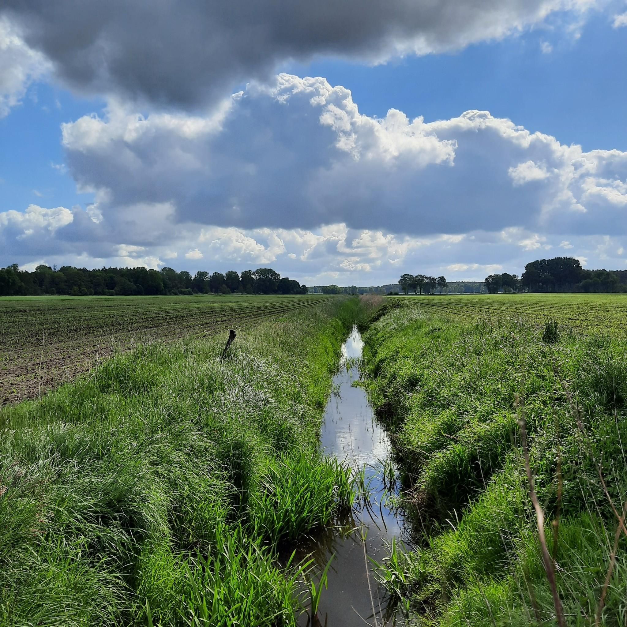
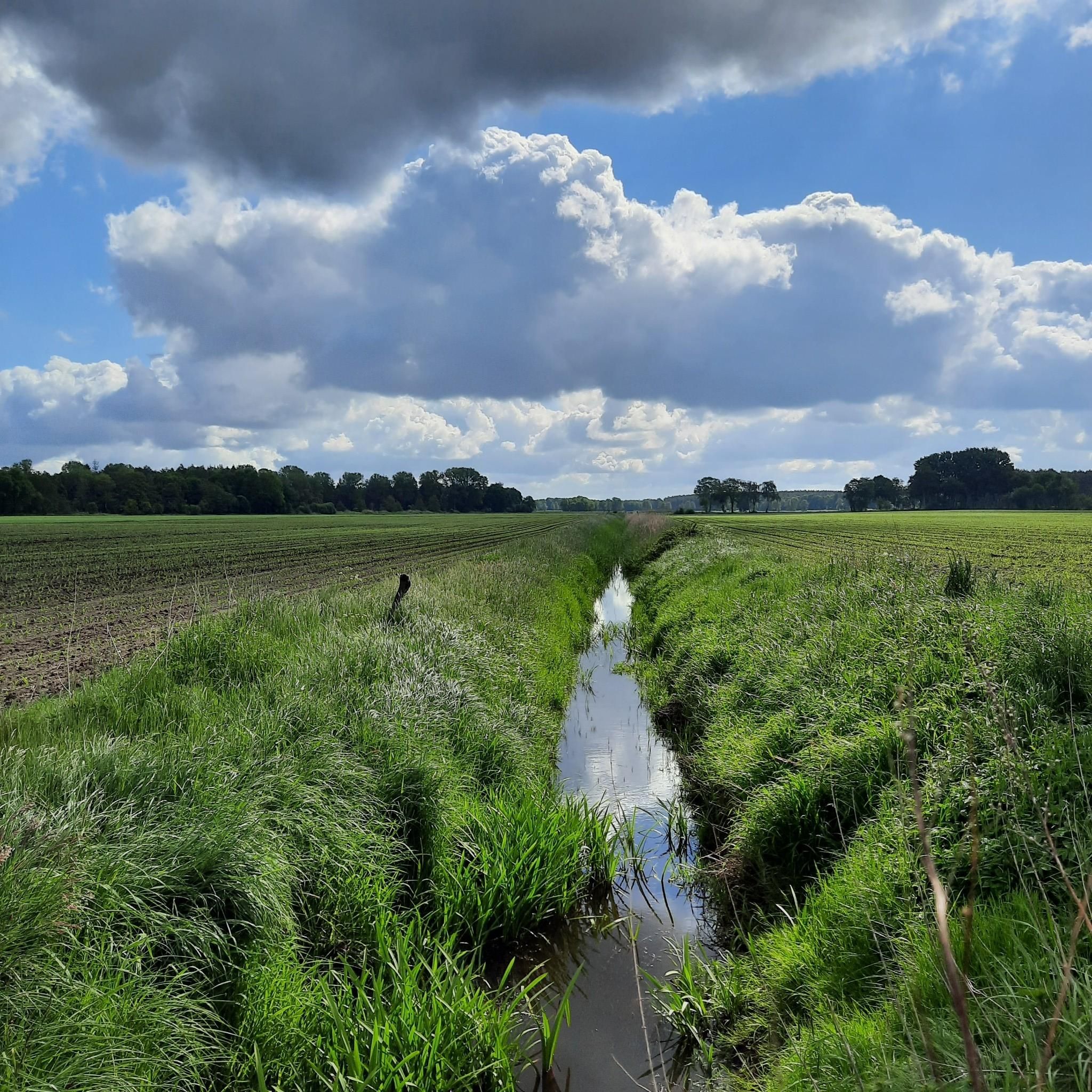
Touring cycling routes around Wohnste are characterized by the gently undulating landscapes of the Harsefelder Geest, a region formed by glacial deposits. The terrain is largely flat to gently rolling, with an average elevation of around 35 meters, making it suitable for relaxed rides. The area features moorlands, such as the Wohnster Mühlenmoor, and the Ramme stream, which contribute to the scenic appeal. Existing cycling infrastructure connects Wohnste to nearby towns and villages, facilitating exploration.
Best touring cycling routes around…
Last updated: September 29, 2026
4.6
(5)
25
riders
Easy bike ride. Great for any fitness level. Mostly paved surfaces. Suitable for all skill levels.
5.0
(5)
9
riders
38.7km
02:30
110m
110m
Hard bike ride. Good fitness required. You may need to push your bike for some segments of this route.

5.0
(4)
15
riders
Easy bike ride. Great for any fitness level. Mostly paved surfaces. Suitable for all skill levels.
5.0
(1)
6
riders
36.2km
02:09
130m
130m
Moderate bike ride. Good fitness required. Mostly paved surfaces. Suitable for all skill levels.
4.5
(4)
10
riders
46.7km
02:49
160m
160m
Moderate bike ride. Good fitness required. Mostly paved surfaces. Suitable for all skill levels.
Get access to more routes and recommendations from other explorers.
Already have an account?
Our route recommendations are based on thousands of hikes, rides, and runs completed by other people on komoot.
Start today with a free account
Your next adventure awaits.
Tips from the Community

The Litberg, at 65 m above sea level, is the highest elevation in the district of Stade. The Gauß observation tower is located in the middle of the forest, 133 steps must be climbed to reach the top, and then a wonderful view of the surrounding nature awaits you. Many benches invite you to linger and swings are available for the children. A visit is recommended and interesting at the same time 👍🏼. Hiking and cycling paths lead along and to the Litberg.
4
0
The Buxtehuder Fleth is the oldest artificially created harbor basin of a city in Northern Europe, located in Buxtehude. It was created at the end of the 13th century with the founding of the city and, as an important monument, still connects the idyllic cityscape with the Este river today, bringing prosperity to Buxtehude in the Middle Ages. A visit is recommended to explore this historic core through the following highlights. Since 1991, this listed, flat-bottomed cargo ship Margaretha has been anchored in the Fleth, testifying to the maritime tradition of the old Hanseatic city. Water power plants have been operated here since as early as 1289. The building in its current form dates from 1860 and was later converted into a commercial building. The Flethenkieker, a bronze sculpture of a former harbor supervisor, which is a popular photo motif today. The Fleth Festival: Around the Ost- and Westfleth, a large cultural and city festival with live music and regional activities takes place annually.
2
0
A great bike and hiking trail runs here through beautiful nature 💚. Water buffaloes are grazing on the route. A great place to sit is available for a break.
3
0

In the town of Zeven, there is a striking erratic boulder that serves as a monument to the fallen of the World Wars. This stone can be found in the municipal forest "Ahe" on Bäckerstraße and bears the inscription "Den Toten der Weltkriege" (To the fallen of the World Wars). The erection of this monument took place in 1960, after the planning was discussed in the town council from 1957 to 1960. The naming of individual names was omitted for this specific erratic boulder monument.
0
0
Great bike route between Beckdorf and Wiegersen amidst beautiful nature 💚.
2
0
A great city with many sights, hiking trails and bike paths. SCULPTURE DOG: In Buxtehude, a city with Dutch settlers, bells were already rung with a rope when elsewhere they were still struck with a hammer. The bells were called "dogs" and the rope soon looked like a tail, so the ringing turned into barking, and that's why dogs in Buxtehude bark with their tails today. The sculpture is located in the Bahnhofstraße in Buxtehude.
5
0
An old manor in Wiegersen. A great cycling and hiking route runs along here.
4
0
The war memorial in Sauensieck is located directly on the main road.
4
0
Frequently Asked Questions
What is the general terrain like for touring cycling around Wohnste?
The terrain around Wohnste is characterized by the gently undulating landscapes of the Harsefelder Geest, formed by glacial deposits. It is largely flat to gently rolling, with an average elevation of about 35 meters, making it ideal for relaxed rides without significant climbs. You'll find peaceful routes through fields, meadows, and forested areas.
How many touring cycling routes are available in the Wohnste area?
There are 16 touring cycling routes available around Wohnste, catering to various preferences and skill levels. These routes are highly rated by the komoot community, with an average score of 4.9 stars from over 25 reviews.
Are there routes suitable for beginners or those looking for an easy ride?
Yes, Wohnste offers several easy touring cycling routes. For instance, the Egyptian Geese Near Sauensiek – Klindworth's Inn loop from Wohnste is an easy 17.5 km trail that takes about 1 hour 7 minutes, leading through rural settings with fields and meadows. Another easy option is the Forest Path – Wiegersen Manor loop from Wohnste, covering 28.9 km.
What natural features or landmarks can I expect to see along the cycling routes?
Cycling routes around Wohnste often feature natural elements like the Ramme stream and moorlands such as the Wohnster Mühlenmoor. You might also encounter landmarks like the Gauss Tower on the Litberg, which offers views on routes like the Wiegersen–Beckdorf Cycle Route – Gauss Tower on the Litberg loop from Wohnste. The Braken und Harselah Nature Reserve and the Aue Stream are also notable natural attractions in the vicinity.
Are there any historical sites or cultural attractions accessible by bike?
Yes, you can explore several interesting sites. The Moisburg Pond – Moisburg Mill Museum loop from Wohnste will take you past the Moisburg Mill Museum, offering a glimpse into local history. The Sittensen Watermill and Mill Pond is another charming historical site in the broader area.
What is the best time of year to go touring cycling in Wohnste?
The gently rolling landscapes and extensive cycle paths of Wohnste are enjoyable throughout the warmer months. Spring and autumn offer pleasant temperatures and beautiful scenery, while summer provides longer daylight hours. The region's minimal elevation changes make it suitable for cycling in various conditions, though checking local weather forecasts is always recommended.
Is Wohnste well-connected by cycling paths to nearby towns?
Yes, Wohnste benefits from existing cycling infrastructure. A well-developed cycling path runs along the K 121 road, connecting Wohnste directly to Sittensen, the administrative center. Additionally, the constituent villages of Groß Wohnste and Klein Wohnste are linked by a dedicated cycling path, facilitating easy exploration within the municipality.
Are there any challenging touring cycling routes for experienced riders?
While much of the terrain is gentle, there are options for more experienced cyclists. The Aue Stream – Braken Nature Reserve loop from Wohnste is a difficult 38.7 km path that traverses varied terrain, including sections near the Aue Stream and through the Braken Nature Reserve, offering a more demanding ride.
Where can I find parking for my car when cycling in Wohnste?
As a rural municipality, Wohnste generally offers accessible parking options. You can typically find parking in the village centers or near trailheads. It's advisable to look for designated parking areas or consult local signage upon arrival.
Are there options for public transport to Wohnste that accommodate bicycles?
Public transport options in rural areas like Wohnste can be limited, but regional buses often connect to larger towns like Sittensen. It's recommended to check the specific bus lines and their policies regarding bicycle transport in advance, as capacity can vary.
Are there any cafes or restaurants along the cycling routes in Wohnste?
Wohnste is a small community, so while direct cafes on every route might be limited, you can find traditional inns and eateries in the village itself and in nearby towns like Sittensen. These establishments offer opportunities to refuel and experience local hospitality.
What makes the touring cycling experience in Wohnste unique?
The unique charm of touring cycling in Wohnste lies in its tranquil, rural setting within the Harsefelder Geest. You'll experience authentic northern German countryside life, with peaceful routes through fields and meadows, and the opportunity to explore unique ecosystems like moorlands and follow the scenic Ramme stream, all on a well-developed cycling network.
Most popular attractions around Wohnste

Get inspired with the komoot mobile app


Explore more
Browse the best Cycling routes in other regions.
