Hamerton and Steeple Gidding
Hamerton and Steeple Gidding
The best MTB trails around Hamerton and Steeple Gidding
4.9
(26)
25
riders
13
rides
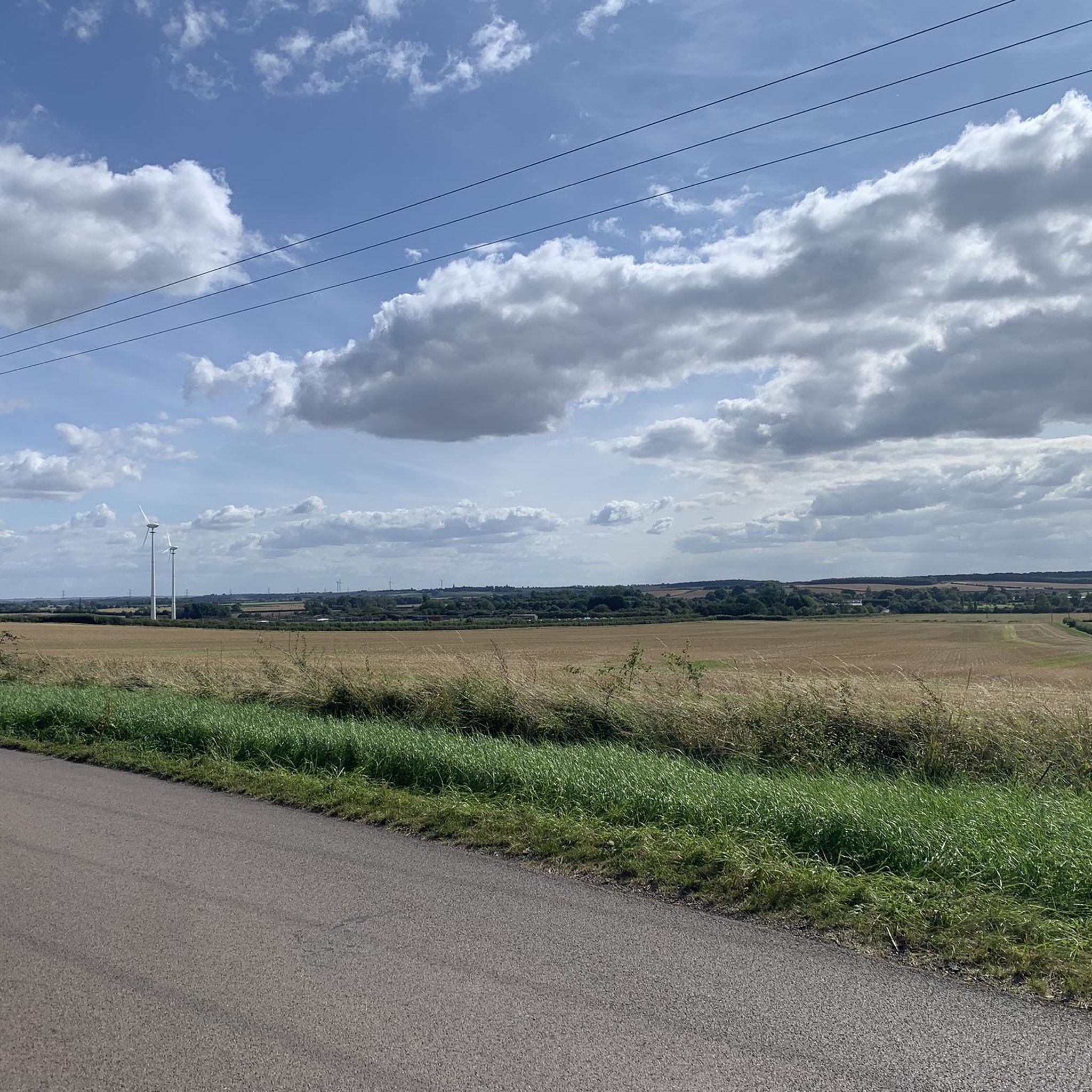
Mountain biking around Hamerton and Steeple Gidding offers routes through the gently rolling countryside of Cambridgeshire. The area is characterized by open farmland, scattered woodlands, and the presence of water bodies like Grafham Water, providing varied terrain for cycling. Elevations are generally low, with routes navigating through a network of quiet country lanes and bridleways. This landscape supports a range of mountain bike trails suitable for different skill levels.
Best mountain bike trails around Hamerton and Steeple Gidding
- The most…
Last updated: October 22, 2026
3
riders
22.4km
01:32
100m
100m
Easy mountain bike ride.
3
riders
45.2km
02:26
210m
210m
Moderate mountain bike ride. Good fitness required.

2
riders
40.8km
02:17
200m
200m
Moderate mountain bike ride. Good fitness required.
3
riders
Moderate mountain bike ride. Good fitness required.
2
riders
26.4km
01:46
200m
200m
Moderate mountain bike ride. Advanced riding skills necessary.
Get access to more routes and recommendations from other explorers.
Already have an account?
Our route recommendations are based on thousands of hikes, rides, and runs completed by other people on komoot.
Start today with a free account
Your next adventure awaits.


Tips from the Community


Excellent track around the resevoir. Some muddy parts when wet and some loose gravel. One area is quite bumpy but don't let that put you off its a good and interesting ride. The cafe at the western end is self serve and the water for tea is not hot enough and my wife did not like the coffee so we avoid it now. However the outside is much improved so will venture back and update.
0
0

THis is a great downhill section great wizz
0
0

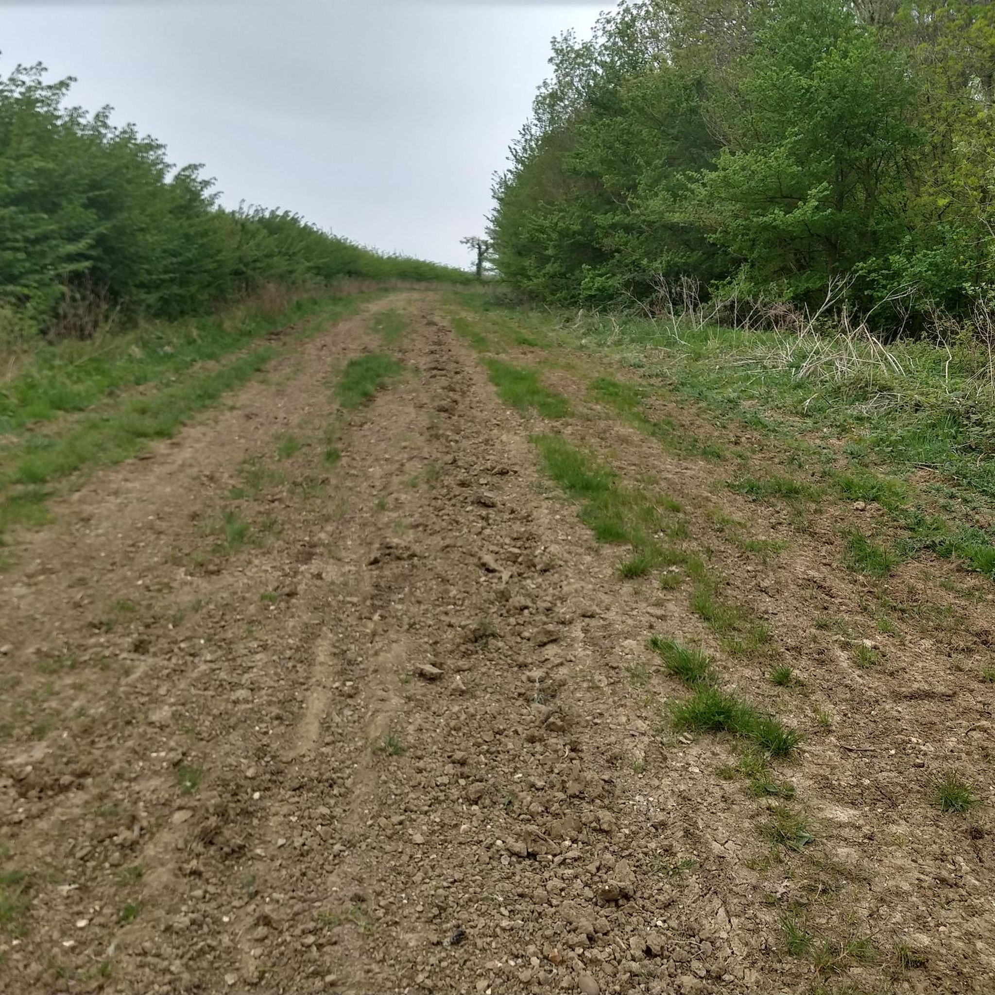
Nice road following the high ridge of ground past Salome Wood.
0
0


The River Nene path in Peterborough is a scenic riverside route that forms part of Nene Park. It is a good route for walking and running.
0
0
Frequently Asked Questions
What types of mountain bike trails can I find around Hamerton and Steeple Gidding?
The area offers a variety of mountain bike trails, primarily catering to easy and moderate skill levels. You'll find routes traversing open farmland, scattered woodlands, and quiet country lanes, with generally low elevations. There are currently 5 easy and 8 moderate trails available.
Are there any family-friendly mountain bike routes in the Hamerton area?
Yes, several routes are suitable for families, particularly those rated as 'easy'. An excellent option is the Grafham Water – Grafham Water loop from Grafham, which is 13.9 miles (22.4 km) long and offers a scenic ride around the reservoir on well-maintained paths.
Are there circular mountain bike routes available?
Many of the mountain bike routes in Hamerton and Steeple Gidding are designed as loops. For example, the popular Grafham Water – Grafham Water loop from Grafham is a circular trail, as is the longer Miriam's Cover – Middle Coppice loop from Titchmarsh NR.
What is the best season for mountain biking in Hamerton and Steeple Gidding?
The gently rolling terrain and varied surfaces make mountain biking enjoyable throughout much of the year. Spring and autumn offer pleasant temperatures and beautiful scenery. Summer is also great, though some paths might be dustier. Winter rides are possible, but be prepared for potentially muddy conditions, especially on bridleways.
What do other mountain bikers enjoy most about the trails here?
The mountain bike routes in Hamerton and Steeple Gidding are highly rated by the komoot community, with an average score of 4.9 stars from over 30 reviews. Riders often praise the peaceful countryside, the mix of open and wooded sections, and the well-planned loops that offer a good workout without extreme technical challenges.
Are there any longer, more challenging mountain bike routes for experienced riders?
While there are no 'difficult' graded trails, experienced riders can enjoy the longer 'moderate' routes for an extended ride. The Miriam's Cover – Middle Coppice loop from Titchmarsh NR, at 28.0 miles (45.1 km), offers a good distance and varied terrain, traversing through wooded areas and open countryside.
Are there places to eat or drink near the mountain bike routes?
Yes, you can find options for refreshments. For example, the Titchmarsh Village Shop is a convenient stop. Many villages along the routes may also have local pubs or cafes where you can refuel.
What interesting landmarks or attractions can I see along the mountain bike trails?
The routes often pass through scenic rural landscapes. You might encounter points of interest like Holme Posts, or enjoy views of Wildlife Lake Bird Hide. The The Giddings – Hamerton Zoo Park loop from Alconbury Weston also leads past the Hamerton Zoo Park.
Is there public transport access to the mountain bike trails in Steeple Gidding?
Public transport options in this rural area are limited. It is generally recommended to travel by car to access the trailheads. Some routes, like those around Grafham Water, might have bus stops nearby, but direct access to all trailheads via public transport can be challenging.
Where can I find parking for mountain biking in Hamerton and Steeple Gidding?
Parking is typically available in or near the villages where routes begin, such as Grafham, Titchmarsh, or Alconbury Weston. For routes around Grafham Water, dedicated parking facilities are usually available at the reservoir's visitor centers.
Are there any hidden gem mountain biking routes in the area?
For a less crowded experience, consider exploring routes that venture further from the main attractions. The Belton's Hill – Stow Longa Village Green loop from Stow Longa offers a pleasant ride through quieter rural landscapes, providing a sense of discovery.
What is the average length and duration of mountain bike trails here?
The trails vary in length, with easy routes like the Grafham Water loop being around 13.9 miles (22.4 km) and taking about 1 hour 32 minutes. Moderate routes can be significantly longer, such as the Ferry Meadows Lake loop from Sawtry, which is 28.4 miles (45.7 km) and takes approximately 2 hours 28 minutes.
Most popular attractions around Hamerton and Steeple Gidding

Get inspired with the komoot mobile app


Explore more
Browse the best MTB trails in other regions.
