The best road cycling routes around Grafham
4.5
(170)
5,760
riders
14
rides
Road cycling around Grafham features routes through 1,500 acres of Cambridgeshire countryside, centered around Grafham Water, England's third-largest reservoir. The terrain is largely flat, with some shorter hills, offering a mix of paved and unpaved sections. The area includes diverse natural habitats such as woodlands, open countryside, and a significant nature reserve at the western end of the reservoir. This region provides an accessible environment for road cycling, with routes extending to nearby towns.
Best road cycling routes around Grafham
…Last updated: October 5, 2026
55
riders
33.1km
01:21
160m
160m
Easy road ride. Great for any fitness level. Mostly well-paved surfaces and easy to ride.
24
riders
Easy road ride. Great for any fitness level. Mostly well-paved surfaces and easy to ride.

5.0
(2)
13
riders
68.5km
02:58
290m
290m
Moderate road ride. Good fitness required. Mostly well-paved surfaces and easy to ride.
5.0
(1)
12
riders
30.7km
01:22
160m
160m
Easy road ride. Great for any fitness level. Mostly well-paved surfaces and easy to ride.
3.0
(1)
7
riders
47.0km
02:00
180m
180m
Moderate road ride. Good fitness required. Mostly well-paved surfaces and easy to ride.
Get access to more routes and recommendations from other explorers.
Already have an account?
Our route recommendations are based on thousands of hikes, rides, and runs completed by other people on komoot.
Start today with a free account
Your next adventure awaits.
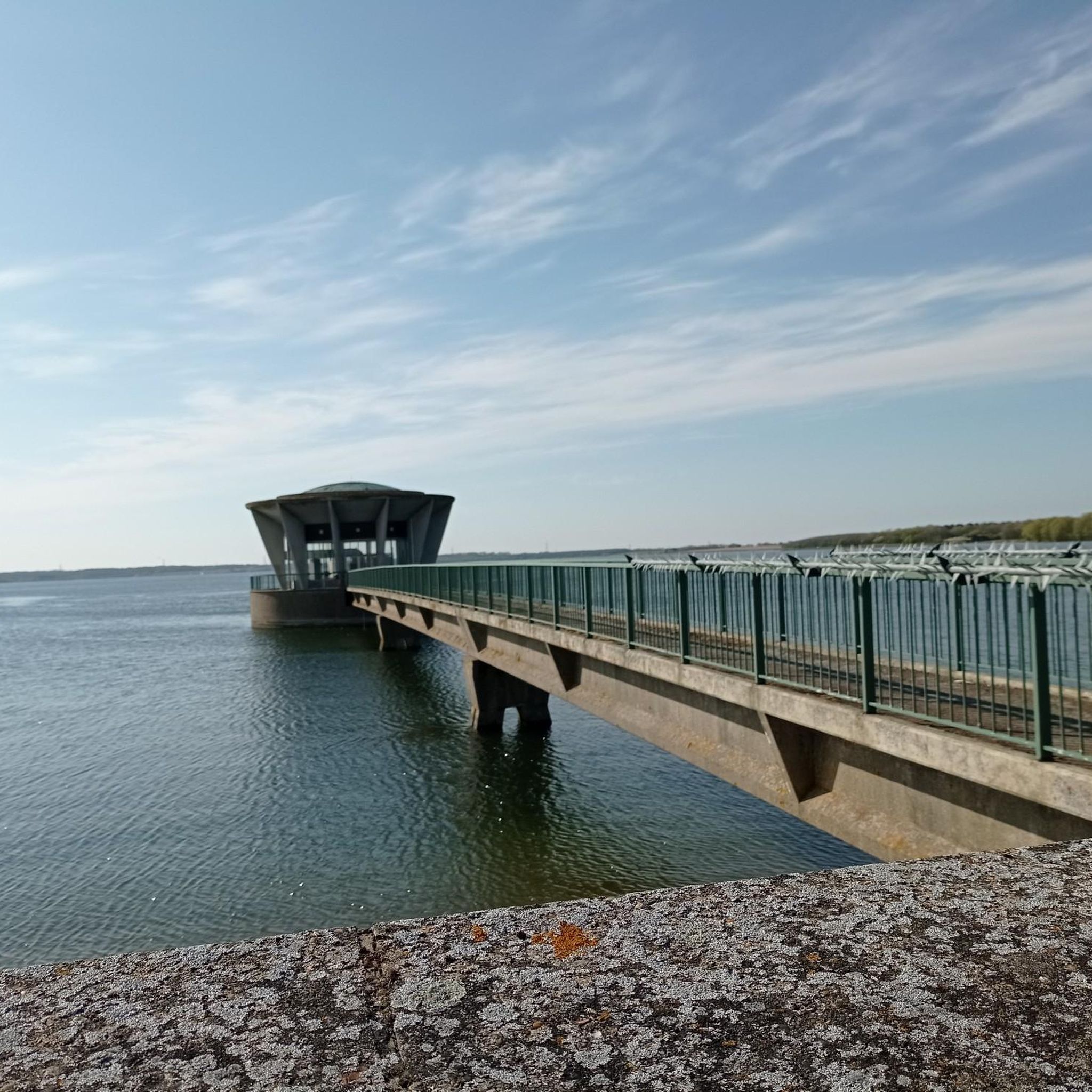
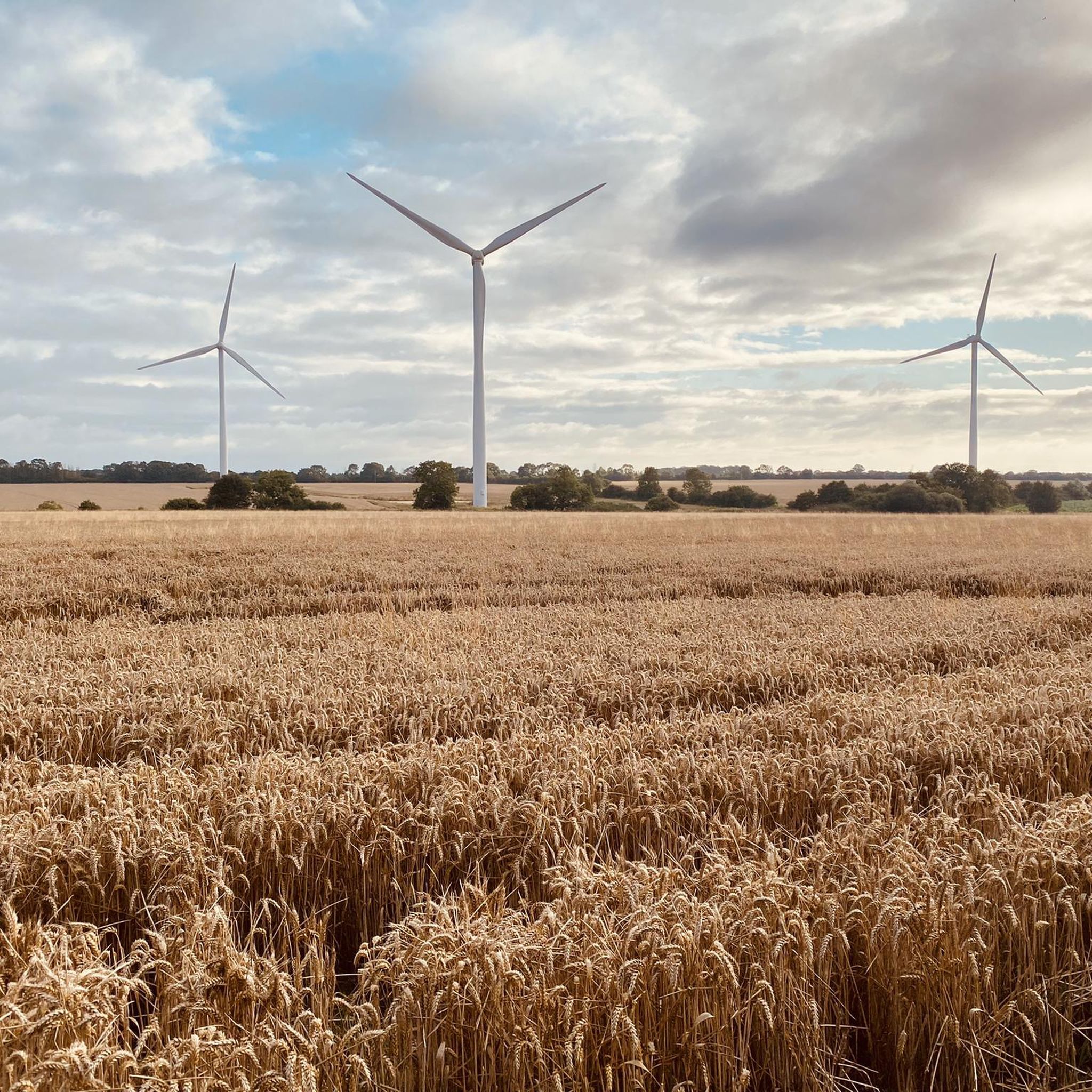
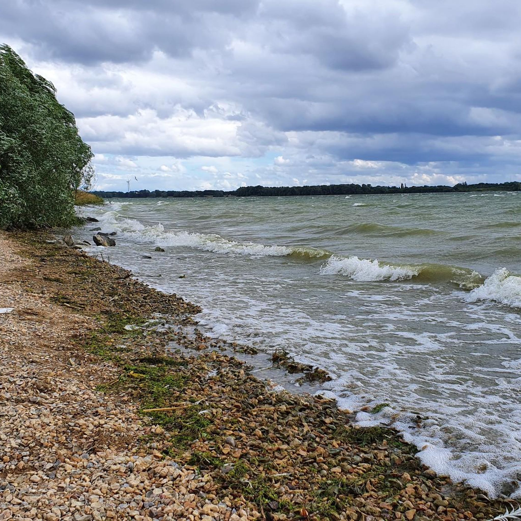
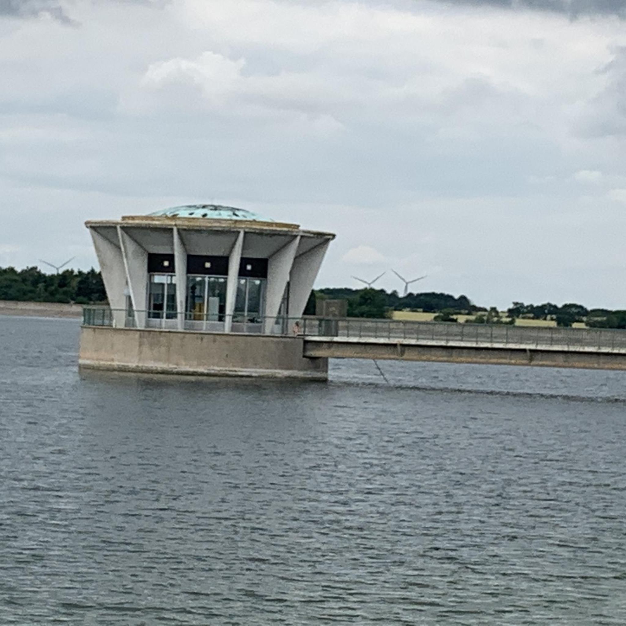

Tips from the Community

Good toilets and outside space. Tea coffee and cakes. Every sandwich has cheese so if you have allegies no food as there are no other options. Used to have full kitchen but the powers that be closed it and now there is just one staff member so it can be a very long wait for service. Shame used to be a good stop.
0
0

Installation of three characters, part of Sustrans Connect2 project, to mark the construction of nearby Willow Bridge. They are: - James Toller (The Eynesbury Giant): A famous historical resident of Eynesbury (born 1798) who grew to a height of 8 feet 4.5 inches. John Cecil Paget: A notable historical figure who lived in nearby Eaton Socon. A child playing cricket: Included to reflect the willow wood that was used to make cricket bats in the area
1
0
30 May 26 still open with no closure signs. May 2026. This road is due to be closed to cars for major repairs in May/June . I am not sure if it will stay open for cycles and walkers though. Will try it and update here asap. Excellent quiet road connecting Huntingdon and Grafham at other times.
0
0
Tea and cofee vailable from 3 outlets around the square. Great for a rest in the sun and to watch the world go by.
0
0
Tea and coffee also available as well as usual beers. Toilets excellent and outside tables and safe places for bikes.
0
0

Frequently Asked Questions
What is the general terrain like for road cycling around Grafham Water?
The terrain around Grafham Water is largely flat, making it accessible for various fitness levels. While there are no challenging hills, you might encounter some shorter, sharper climbs. The routes feature a mix of mostly paved surfaces, with some unpaved sections and loose gravel, particularly on bridleways. The area offers scenic views across Grafham Water, passing through nature-rich woodlands and open countryside.
How many road cycling routes are available around Grafham?
There are over 10 road cycling routes around Grafham, catering to different skill levels. The komoot community has rated these routes highly, with an average score of 4.5 stars, and over 3,000 road cyclists have explored the area using komoot.
Are there any easy road cycling routes suitable for beginners or families?
Yes, there are 5 easy road cycling routes around Grafham. An excellent option for an easier ride is the Buckden Towers and Gardens – Ouse Valley Descent loop from Grafham, which is 20.7 miles (33.3 km) long and leads through the picturesque Ouse Valley, passing the historic Buckden Towers.
What natural features or landmarks can I see while cycling around Grafham Water?
Road cycling routes around Grafham Water offer views of diverse natural habitats and historical sites. You can enjoy the vast expanse of Grafham Water itself, which is England's third-largest reservoir. The western end features a significant nature reserve with ancient woodlands and reed beds. Routes also pass by historical landmarks like Buckden Towers and Gardens and the Godmanchester Nature Reserve.
Are there any circular road cycling routes around Grafham Water?
Yes, many of the road cycling routes around Grafham Water are designed as loops, allowing you to start and finish in the same location. A popular example is The Giddy Goat Coffee Shop – Grafham Water Reservoir loop from Grafham, a 32.8-mile (52.8 km) route that offers continuous views of the reservoir.
Where can I find refreshment stops or cafes along the cycling routes?
There are several cafes and refreshment stops conveniently located along the cycling routes around Grafham Water. You can find options such as The Harbourside at Mander Park and a cafe in Marlow Park, perfect for a break during your ride. The route The Giddy Goat Coffee Shop – Grafham Water Reservoir loop from Grafham specifically highlights a coffee shop.
Is bike hire available at Grafham Water?
Yes, bike hire facilities are available at Grafham Water. Rutland Cycling, located at Grafham Water, offers a range of bicycles including mountain bikes, hybrids, and electric bikes, making it easy to explore the area even if you don't bring your own bike.
What is the best time of year to go road cycling around Grafham Water?
Grafham Water offers enjoyable road cycling throughout the year. However, some sections, particularly bridleways, can become rough and muddy after heavy rain. For the most comfortable experience, spring and summer offer pleasant weather, while autumn provides beautiful scenery. Always check local weather conditions before heading out.
Are there longer or more challenging road cycling routes for experienced cyclists?
While the immediate Grafham Water loop is generally flat, the area serves as a starting point for longer rides extending to nearby towns like Huntingdon, Godmanchester, and St Ives, utilizing quiet, winding roads. Routes like Duloe Lane Graffiti Murals – Grafham Water Reservoir loop from Grafham, at 40.7 miles (65.5 km), offer a more extended challenge.
What do other road cyclists enjoy most about road cycling in Grafham?
The area is highly rated by the komoot community, with an average score of 4.5 stars. Reviewers often praise the diverse landscapes, the well-maintained perimeter trail, and the accessibility of routes for various fitness levels. Many appreciate the scenic views across Grafham Water and the peaceful passage through woodlands and open countryside.
Can I access Grafham Water by public transport for cycling?
While Grafham Water is primarily accessed by car, some routes extend to nearby towns like Huntingdon and St Ives, which have public transport links. It's advisable to check local bus routes and schedules for connections to the Grafham Water area if you plan to use public transport.
Are there any specific rules or permits required for cycling around Grafham Water?
Generally, there are no specific permits required for cycling on the public paths and designated cycling routes around Grafham Water. However, it's always good practice to respect local signage, especially within the nature reserve areas, and adhere to standard cycling etiquette to ensure a pleasant experience for all visitors.
Most popular attractions around Grafham

Get inspired with the komoot mobile app


Explore more
Browse the best Road cycling routes in other regions.
