The best walks and hikes around Wolfertschwenden
4.3
(140)
600
hikers
35
hikes
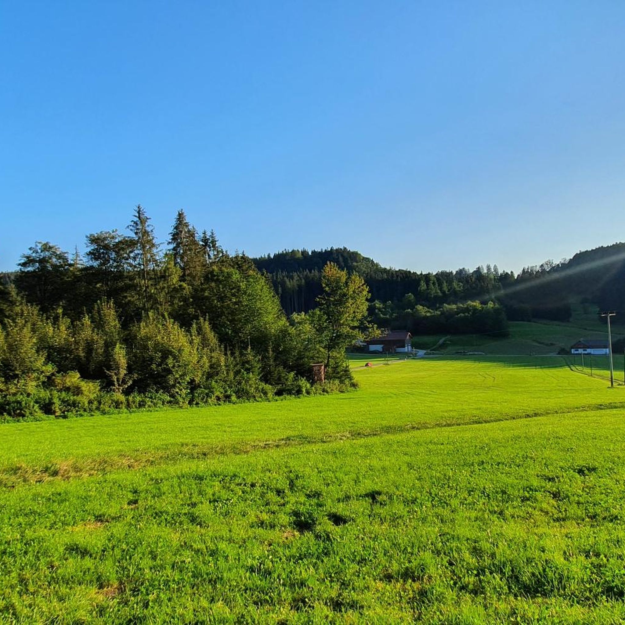
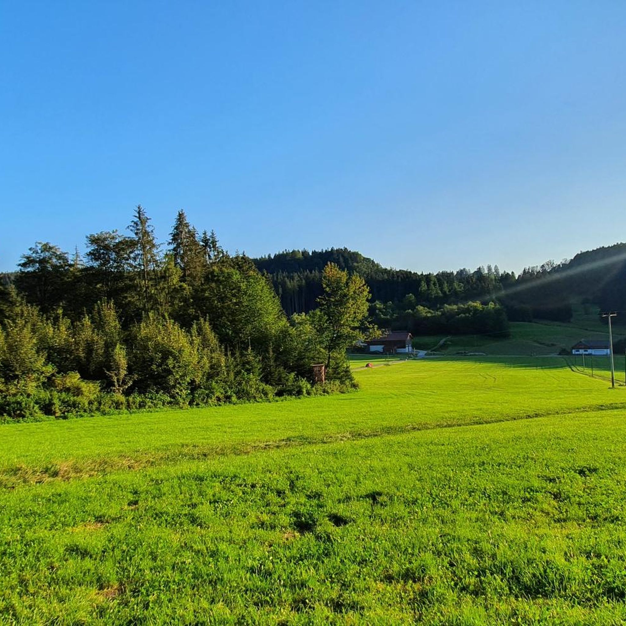
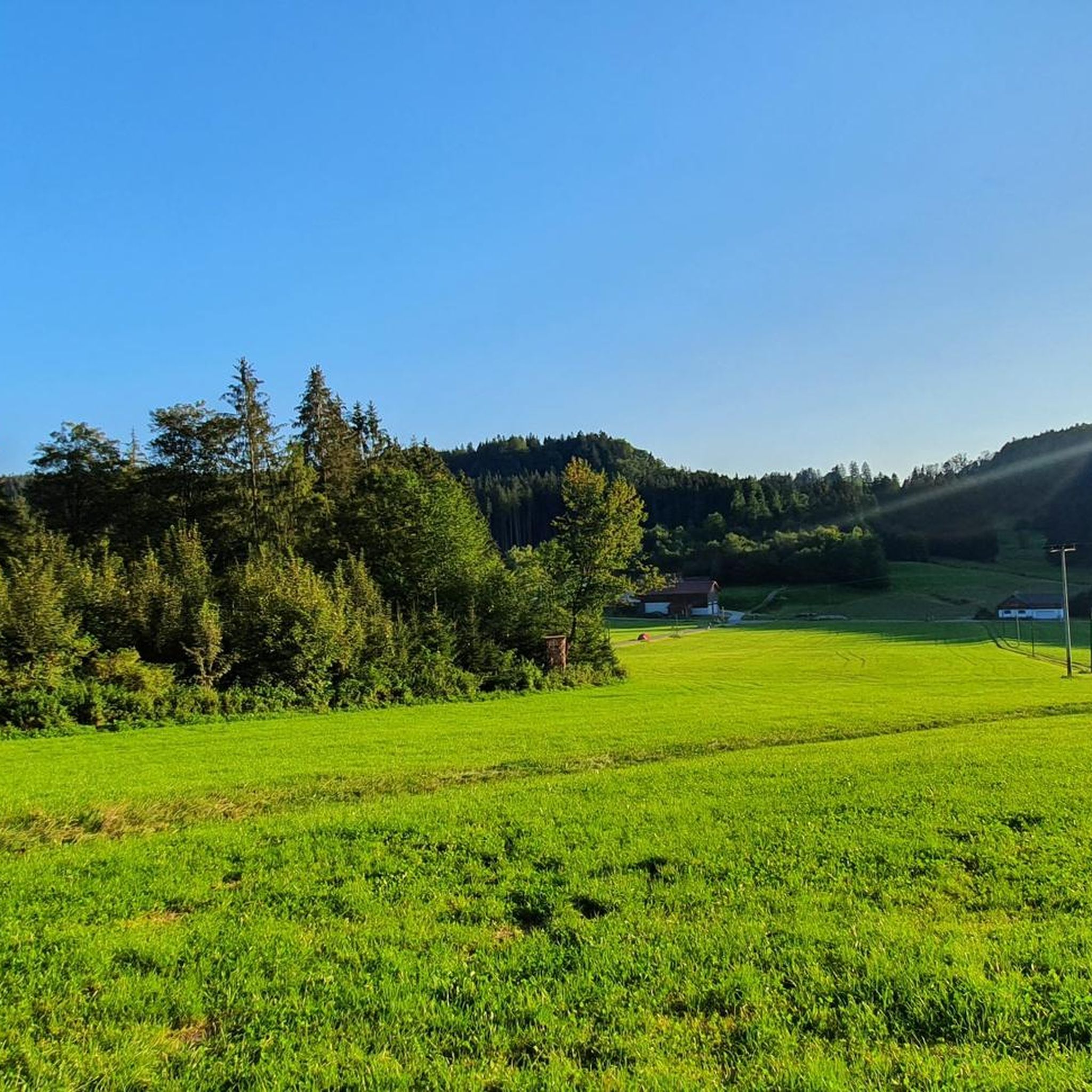
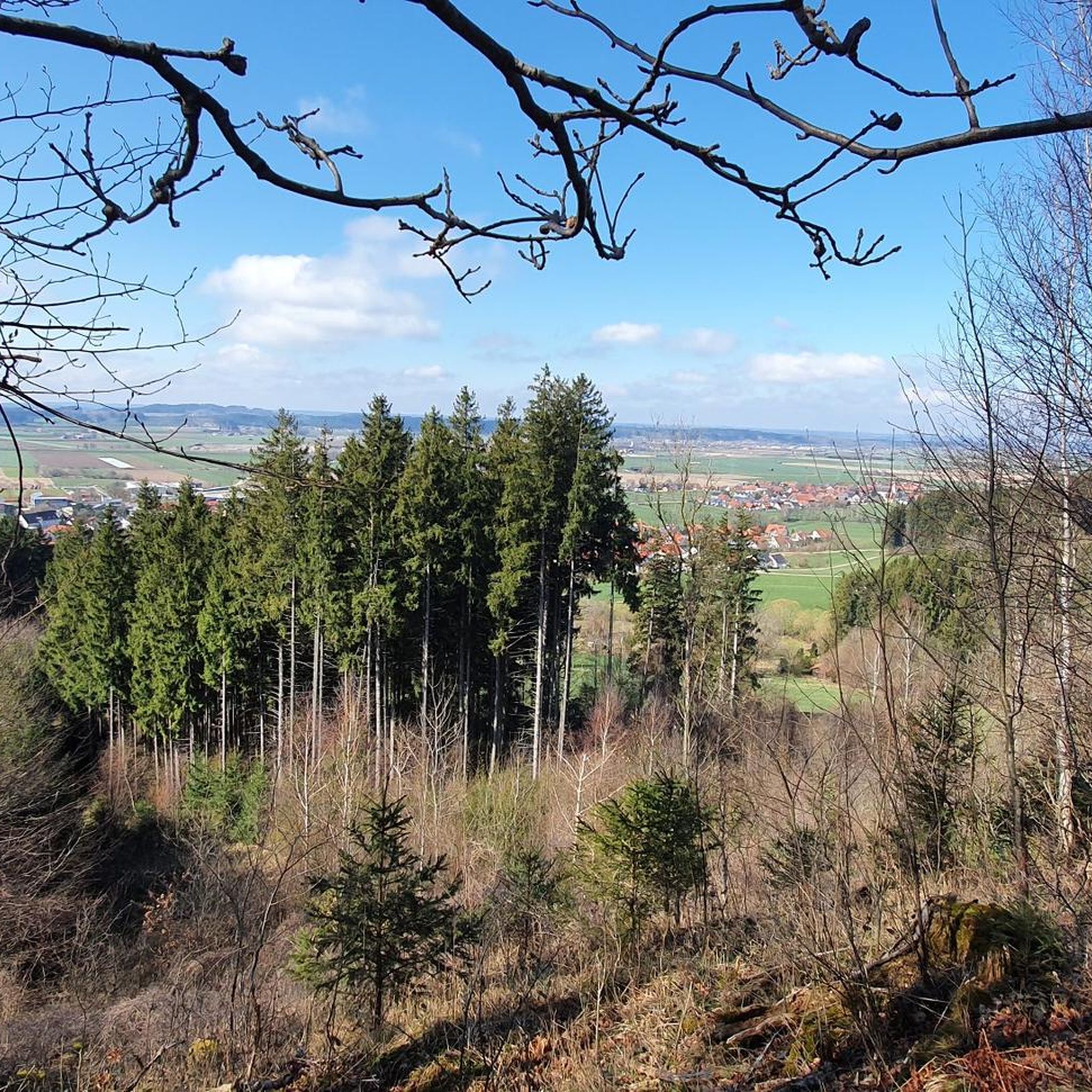
Hiking around Wolfertschwenden offers diverse terrain characterized by rolling hills, lush meadows, and scenic forests within the Unterallgäu district of Bavaria. The region is shaped by the Iller river, providing accessible trails along its banks. Hikers can explore varied landscapes, from tranquil riverside paths to routes leading through the broader Allgäu region. This area provides a range of outdoor experiences for different skill levels.
Best hiking trails around Wolfertschwenden
- The most popular hiking route is Motzabach Riverside Trail – German…
Last updated: July 9, 2026
4.6
(69)
294
hikers
15.9km
04:27
300m
300m
Moderate hike. Good fitness required. Easily-accessible paths. Suitable for all skill levels.
4.8
(20)
65
hikers
6.96km
01:57
130m
140m
Easy hike. Great for any fitness level. Easily-accessible paths. Suitable for all skill levels.

Sign up for free
4.3
(7)
35
hikers
8.75km
02:24
140m
140m
Moderate hike. Good fitness required. Easily-accessible paths. Suitable for all skill levels.
5.0
(2)
17
hikers
Easy hike. Great for any fitness level. Easily-accessible paths. Suitable for all skill levels.
4.8
(5)
15
hikers
10.5km
02:59
220m
220m
Moderate hike. Good fitness required. Easily-accessible paths. Suitable for all skill levels.
Get access to more routes and recommendations from other explorers.
Sign up for free
Already have an account?
Our route recommendations are based on thousands of hikes, rides, and runs completed by other people on komoot.
Start today with a free account
Your next adventure awaits.
Login or Signup

Other adventures around Wolfertschwenden

Tips from the Community

Beautiful Kneipp facility
0
0

There are various hiking trails, but the one along the water is especially great for children.
0
0

ohh what an imposing building and what splendour - impressive
0
0

The "Geological Organs" are conglomerate rocks where carbonic acid seepage water has gradually eroded the limestone over millennia. The resulting stone tubes are up to 15 meters high.
1
0

The stroller-friendly hiking trail is easy to walk. A highlight for families with children, as the Motzabach stream runs along the entire length of the trail. Children can play in it or float boats.
1
0

Ottobeuren Benedictine Abbey The Benedictine abbey was founded in 764. In 972, Bishop Ulrich of Augsburg obtained from Emperor Otto I the exemption from all imperial burdens and the free election of an abbot. From 1102 to 1145, under Abbot Rupert I, the Hirsau Reform was adopted for Ottobeuren, and a new monastery and church were completed. In 1365, the abbey lost its independence to Augsburg. During the Peasants' War and the Schmalkaldic War in the mid-16th century, the church was severely damaged and subsequently rebuilt in the Renaissance style. From 1630 to 1635, during the Thirty Years' War, the monastery buildings were misused and plundered. In 1710, Abbot Rupert II Neß succeeded in regaining imperial immediacy and began construction in 1711, which was largely completed in 1766. In 1802, the church and monastery became Bavarian state property as part of the secularization process. In 1805, the church became the parish church of Ottobeuren. In 1834/35, the monastery first came under the Augsburg Priory and then became an independent abbey again in 1918. In 1926, Pope Pius IX declared the church a minor basilica. Today, the complex is a monastery with a school (grammar school and secondary school) and serves as an educational institution. In 1964, the complex was stylishly renovated for the 1200th anniversary celebrations. Text / Source: https://dcsy.de/B_Ottobeuren/ott_klostergeschichte.htm#:~:text=In%20year%20764%20%20the%20Benedictine abbey%20was founded.%20972, and%20a%20new building%20of%20monastery%20and%20church%20was completed.
14
0
Basilica of St. Alexander and St. Theodore, Ottobeuren The magnificent basilica, dedicated to the two Roman martyrs Alexander (162) and Theodore (306), is certainly one of the most beautiful Baroque churches in southern Germany. With its two 82-meter-high onion domes, it stands on a gently rising ridge west of the market square, visible from afar above the valley of the western Günz River. Due to its dominant, free position within the entire building complex, the basilica plays an undeniable presiding role. This concept of placing the church in front of the monastery was not, however, an Ottobeuren invention. Rather, it can be traced back to the famous Swabian architectural theorist Joseph Furtenbach, who published it in 1628 in his work "Architectura Civilis" as the ideal form for a women's monastery. Other monasteries were also built according to this pattern: Kempten in 1651, Seedorf/CH in 1682, Obermarchtal in 1686, Holzen in 1696, Klosterwald in 1714, Sießen in 1716, and Fiecht/Tyrol in 1707. The foundation stone was laid on September 27, 1737, at the present main portal. During the reigns of Abbots Rupert Neß and Anselm Erb, it was built as a monastery church from 1737 to 1766 by Simpert Kraemer (until 1748) and Johann Michael Fischer. The very rich late-Bavarian furnishings include dome and ceiling frescoes and altarpieces by Johann Jakob and Franz Anton Zeiller from Tyrol, stucco figures by Johann Joseph Christian, and stucco work by Johann Michael Feuchtmayer the Younger. It boasts two widely renowned Baroque choir organs by Karl Joseph Riepp: the four-manual Trinity Organ with 47 stops and the two-manual Holy Spirit Organ with 27 stops, both with a French sound. The choir stalls are by Martin Hermann (carpentry) and Johann Joseph Christian (reliefs). The focal point of the church is the Romanesque crucifix (ca. 1220). The church's unusual north-south orientation is due to its location within the overall complex, whose floor plan is in the shape of a cross. In 1926, the monastery church was elevated to a Papal Basilica/Basilica Minor by Pope Pius XI. Text / Source: Benedictine Abbey of Ottobeuren, Sebastian-Kneipp-Str. 1, Ottobeuren https://www.abtei-ottobeuren.de/content/klosteranlage/die-basilika/
14
0

Beautiful, late baroque basilica. Take your time. There are thousands of pictures and figures to discover. 😍🥰👍
8
0
Frequently Asked Questions
What types of hiking trails can I find around Wolfertschwenden?
Wolfertschwenden offers a diverse range of hiking trails, from relaxed walks along the Iller river to more challenging routes through rolling hills and scenic forests. You'll find paths suitable for all skill levels, including easy strolls, moderate loops, and some more demanding options. The landscape features lush meadows, dense woodlands, and various lakes.
Are there any family-friendly hiking options in Wolfertschwenden?
Yes, Wolfertschwenden is great for families. The region offers several easy trails, and the "Forest & Water" Nature Trail is particularly ideal for families with children. It's an interactive path designed to teach young explorers about local flora and fauna in a playful way.
What are some notable natural features or landmarks to see while hiking?
Hikers can explore several interesting natural features. The River Iller provides peaceful trails along its banks. The nearby Bussenberg mountain offers breathtaking panoramic views of the Allgäu region. A unique natural monument is the "Geological Organs" near Wolfertschwenden, which features distinctive rock formations. You can explore this area on routes like the Organ Pipes – Kneipp basin with seating area loop from Wolfertschwenden or the shorter Organ Pipes – Bossarts Geological Organs loop from Wolfertschwenden.
Can I find circular hiking routes in the area?
Absolutely. Many of the trails around Wolfertschwenden are designed as circular routes, allowing you to start and end in the same location. Examples include the Motzabach Riverside Trail – German Levada loop from Wolfertschwenden, which follows the Motzabach, and the Idyllic Pond – Pond on the Mühlbach loop from Böhen, which takes you through tranquil pond and meadow landscapes.
What is the best time of year to go hiking in Wolfertschwenden?
Spring and autumn are considered the best seasons for hiking in Wolfertschwenden. Spring brings pleasant temperatures and vibrant blossoms, while autumn offers stunning natural colors with warm red tones in the leaves. The weather during these seasons is generally ideal for enjoying the trails.
Are there any historical sites or castles near the hiking trails?
Yes, the region around Wolfertschwenden has several historical sites and castles. You can find ruins like Neu-Kalden Ruins or explore castles such as Lautrach Castle and Kronburg Castle. These can be interesting points of interest to visit before or after your hike.
How many hiking trails are available in Wolfertschwenden?
There are over 35 hiking routes available around Wolfertschwenden. These include a good mix of easy, moderate, and a few more difficult trails, ensuring options for various fitness levels and preferences.
What do other hikers say about the trails in Wolfertschwenden?
The hiking trails in Wolfertschwenden are highly regarded by the komoot community, with an average rating of 4.3 stars from over 130 reviews. Hikers often praise the varied terrain, the peaceful riverside paths, and the scenic beauty of the meadows and forests.
Are there any routes that feature water elements like rivers or ponds?
Yes, the region is shaped by water. The Iller river offers numerous trails along its banks. You can also find routes that explore ponds and streams, such as the Idyllic Pond – Pond on the Mühlbach loop from Böhen or the Idyllic Pond – Ehwiesmühle Pond loop from Böhen. The broader Allgäu region, which Wolfertschwenden is part of, even has a "Wasserläufer Route" focusing on water landscapes.
What is the general difficulty level of hikes in Wolfertschwenden?
The hiking trails around Wolfertschwenden cater to a wide range of abilities. You'll find a good selection of easy routes, perfect for leisurely strolls, as well as many moderate trails that offer a bit more challenge. There is also at least one more difficult route for experienced hikers looking for a greater adventure.
Are there any huts or places to rest along the trails?
Yes, there are several huts and cabins in the vicinity of Wolfertschwenden that can serve as resting spots or destinations. Examples include the Allgeierschlaghütte, Elderschachen Hut, and the Grill Hut by the Günz. These can be great places to take a break and enjoy the surroundings.
Most popular routes around Wolfertschwenden
Most popular attractions around Wolfertschwenden

Get inspired with the komoot mobile app


Explore more
Browse the best Hikes in other regions.
