The best walks and hikes around Wölflinswil
4.6
(3942)
20,013
hikers
892
hikes
Hiking around Wölflinswil offers diverse terrain within Switzerland's Aargau Jurapark, characterized by a narrow valley bordered by hills and expansive plateaus. The landscape transitions between Faltenjura and Tafeljura, featuring fields, pine forests, rough pastures, and cherry orchards. This region provides a variety of natural settings for outdoor activities.
Best hiking trails around Wölflinswil
- The most popular hiking route is Alt-Tierstein Castle Ruins – Chriesiwäg Gipf-Oberfrick loop from Wittnau, an 8.5 miles (13.7 km) trail that takes 3 hours 52…
Last updated: July 10, 2026
4.8
(68)
255
hikers
13.6km
03:51
300m
300m
Moderate hike. Good fitness required. Easily-accessible paths. Suitable for all skill levels.
4.6
(9)
25
hikers
10.4km
03:09
340m
340m
Moderate hike. Good fitness required. Easily-accessible paths. Suitable for all skill levels.

Sign up for free
13
hikers
11.8km
03:33
390m
390m
Moderate hike. Good fitness required. Easily-accessible paths. Suitable for all skill levels.
5.0
(2)
16
hikers
9.58km
03:04
400m
400m
Moderate hike. Good fitness required. Easily-accessible paths. Suitable for all skill levels.
6
hikers
9.79km
02:57
330m
330m
Moderate hike. Good fitness required. Easily-accessible paths. Suitable for all skill levels.
Get access to more routes and recommendations from other explorers.
Sign up for free
Already have an account?
Our route recommendations are based on thousands of hikes, rides, and runs completed by other people on komoot.
Start today with a free account
Your next adventure awaits.
Login or Signup
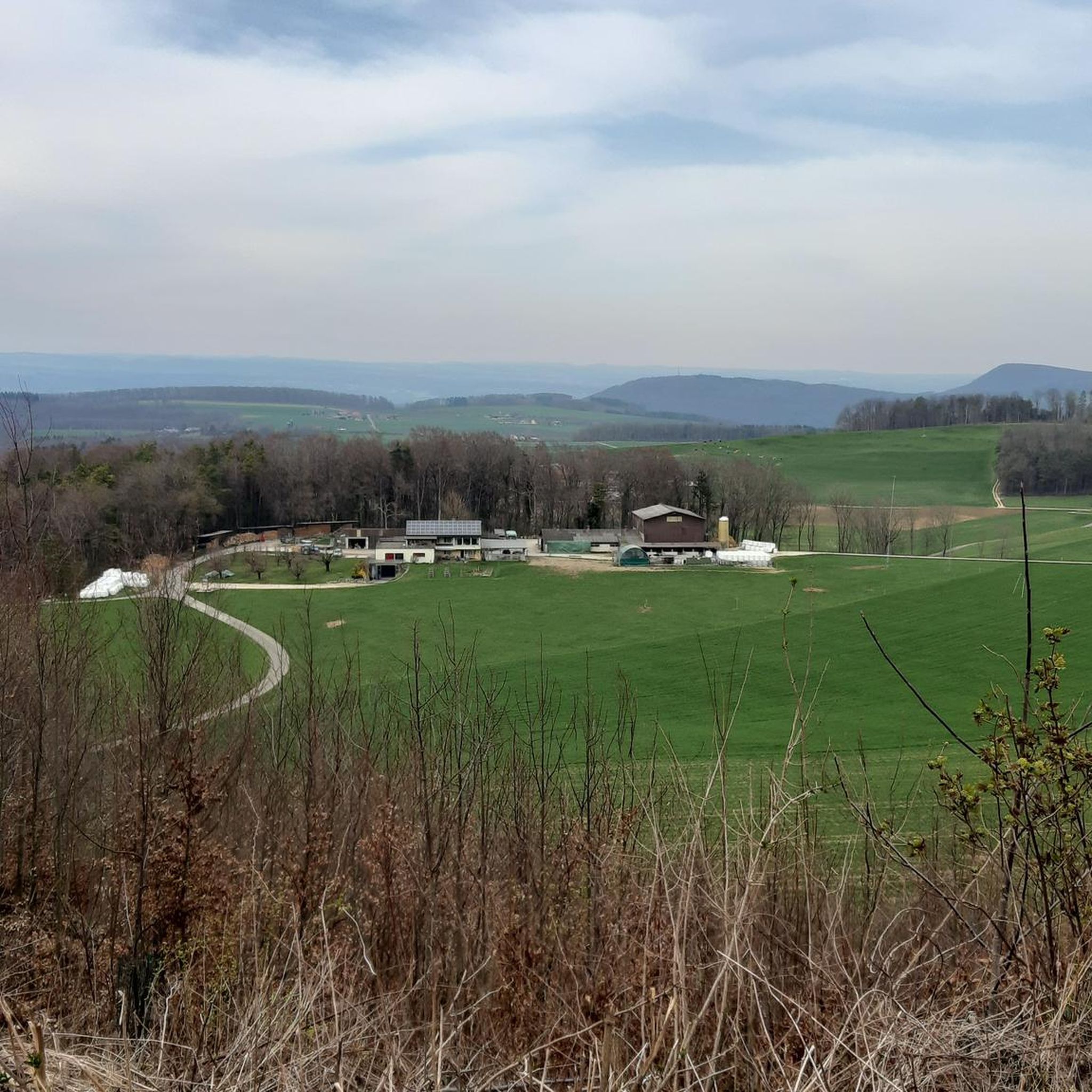
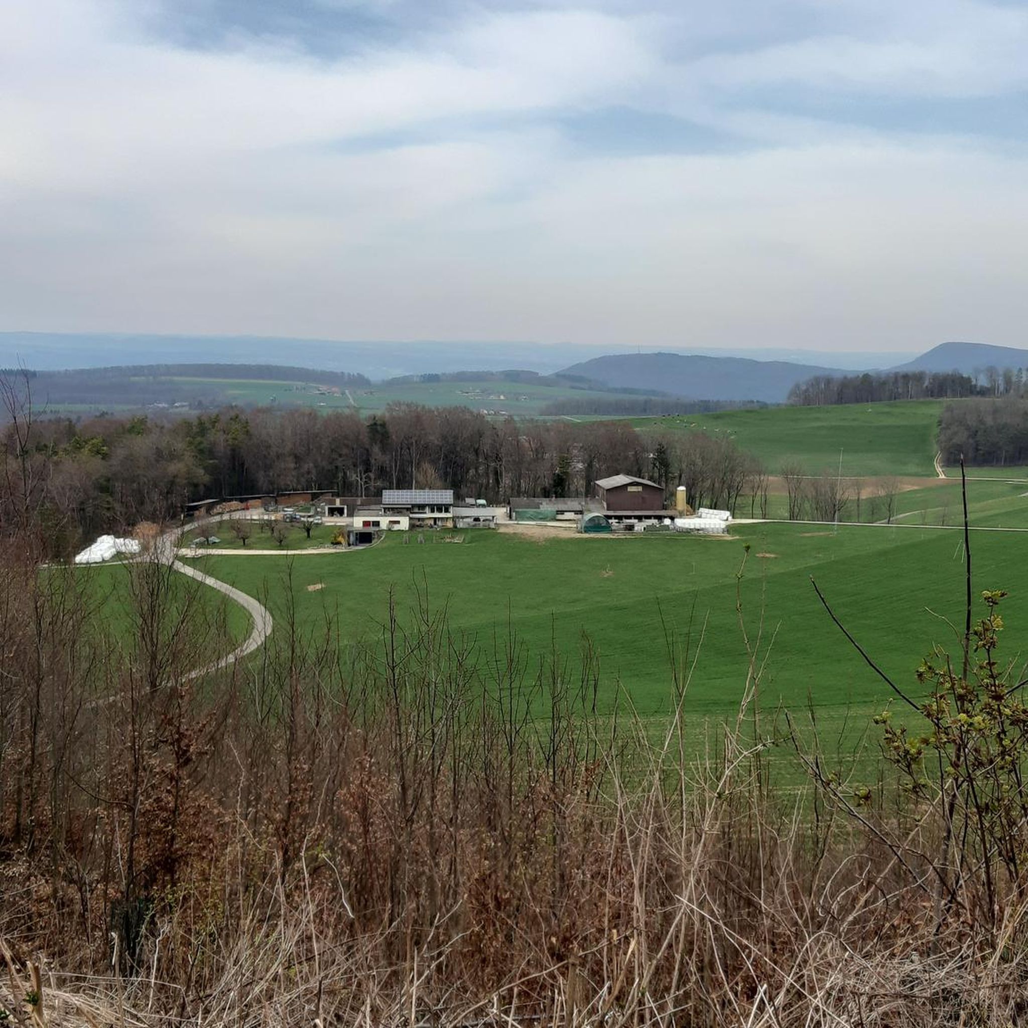
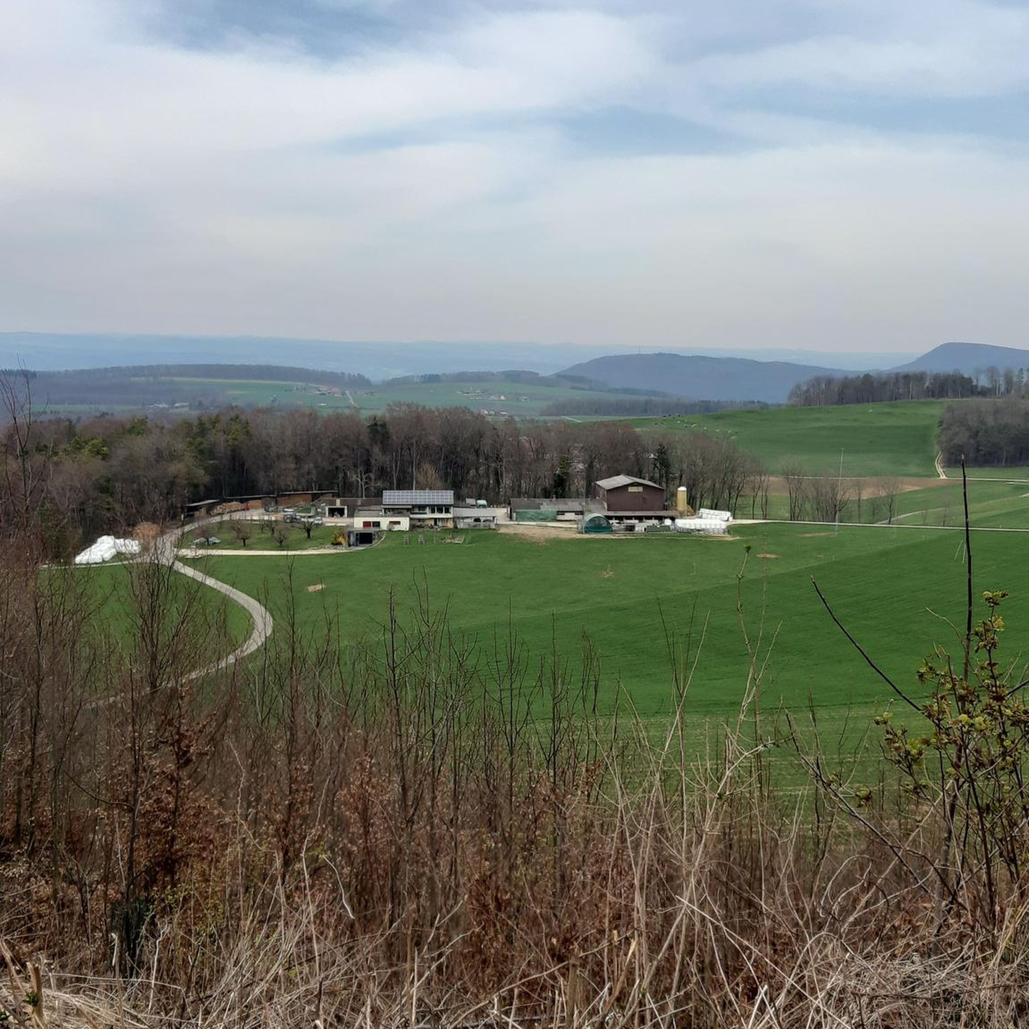

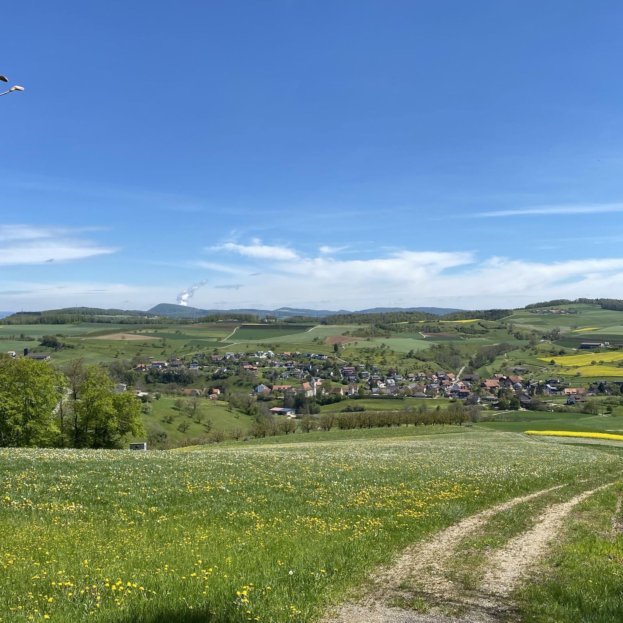
Tips from the Community

Beautiful viewpoint with benches and barbecue area
12
0
The ruins of Alt-Thierstein Castle are situated on a wooded ridge in the Laufental valley, near the border with the canton of Basel-Landschaft. This medieval castle was likely built in the 12th century by the Counts of Thierstein and served to control important trade routes. Today, remnants of the walls, the keep, and sections of the curtain wall are still visible. The site offers a beautiful view over the Laufental valley. The ruins are freely accessible and a popular destination for hikers and history enthusiasts.
10
0

And in March, it's sunny too ;)
0
0


Well-written and entertaining. Makes you think.
0
0
Everything was very well entertained. Beautiful presence and yet reserved. Worthwhile
0
0
Frequently Asked Questions
How many hiking trails are available around Wölflinswil?
Wölflinswil offers a vast network of over 900 hiking routes. These range from easy strolls to more challenging excursions, ensuring options for various fitness levels and preferences within the Aargau Jurapark.
Are there family-friendly hiking options in Wölflinswil?
Yes, Wölflinswil is well-suited for families. The Perimukweg Wölflinswil is a popular themed trail starting at the village square, featuring puzzles and leading to a forest house with mini-golf and a fire pit. It's generally pushchair-friendly, though some inclines are present. Another great option is the Zwei-Dörfer-Rundweg Wölflinswil-Oberhof, a circular path designed for families to enjoy local nature and culture.
What kind of terrain can I expect on hikes in Wölflinswil?
The region is characterized by its distinctive hilly terrain, marking a transition between the Faltenjura and Tafeljura. You'll encounter a mix of narrow valleys, expansive plateaus, pine forests, rough pastures, cherry orchards, and vineyards. Trails vary from well-maintained paths to more natural forest tracks.
Are there any historical trails or points of interest?
Yes, the Eisenweg Wölflinswil-Zeihen (Iron Path) is a historical trail that delves into the region's past in iron ore mining, which dates back centuries. Along the path, information boards detail the geology and history of iron extraction, offering an educational and scenic experience.
Where can I find panoramic views or viewpoints?
Wölflinswil boasts several excellent viewpoints. Burgflue offers extensive views that can reach the Black Forest on clear days. The Cheisacher Tower in the upper Frick Valley provides panoramic vistas stretching to the Alps, Vosges, and the Black Forest, with picnic areas nearby. Additionally, Wasserfluh and the Alpenzeiger offer beautiful views, including over the city of Aarau.
What do other hikers say about the trails in Wölflinswil?
The hiking routes in Wölflinswil are highly rated by the komoot community, with an average score of 4.6 stars from over 3500 reviews. Hikers often praise the varied terrain, the serene natural settings, and the well-maintained paths that offer diverse experiences from historical insights to panoramic views.
Are there any circular hiking routes recommended?
Many routes in Wölflinswil are circular, offering convenient starting and ending points. A popular moderate option is the Alt-Tierstein Castle Ruins – Chriesiwäg Gipf-Oberfrick loop from Wittnau, which covers 8.5 miles and passes historical ruins and cherry orchards. Another is the View of the Aargau countryside – Strihe Summit loop from Oberhof, a 7.1-mile trail leading through scenic landscapes to a summit.
What kind of natural attractions can I find near the trails?
Beyond the scenic landscapes, you can discover natural attractions such as the Talweiher Nature Reserve, a tranquil lake area. For those interested in water activities, the Biberstein Natural Swimming Pool offers a refreshing stop, and the Aarschächli is another notable lake nearby.
Are there any trails that pass by historical ruins or chapels?
Yes, you can explore routes that feature historical elements. The Maria-Hilf Grotto (Buschberg) – Buschberg Chapel loop from Wittnau is a moderate 6.4-mile path that takes you past a grotto and a chapel, offering insights into local heritage amidst the hilly landscape.
What is the best time of year to hike in Wölflinswil?
Wölflinswil offers serene natural settings throughout the year. Spring and autumn are particularly beautiful, with cherry orchards in bloom or vibrant fall foliage. Summer provides warm weather for longer excursions, while winter can offer peaceful, snow-covered landscapes, though trail conditions may vary.
Are there options for more challenging hikes?
While Wölflinswil offers many easy and moderate trails, there are also options for more challenging excursions. The region's hilly terrain, with its varied elevation changes, provides ample opportunity for hikers seeking a more strenuous workout. Approximately 39 routes are classified as difficult, offering greater ascents and longer distances.
Where can I find information about parking for trailheads?
Information boards at the community center parking lot in Wölflinswil are available to help visitors choose their routes and often provide details on nearby parking facilities. Many trailheads in the region offer designated parking areas, though availability can vary.
Most popular routes around Wölflinswil
Most popular attractions around Wölflinswil

Get inspired with the komoot mobile app


Explore more
Browse the best Hikes in other regions.
