The best running trails around Pattishall
4.0
(27)
4,539
runners
370
runs
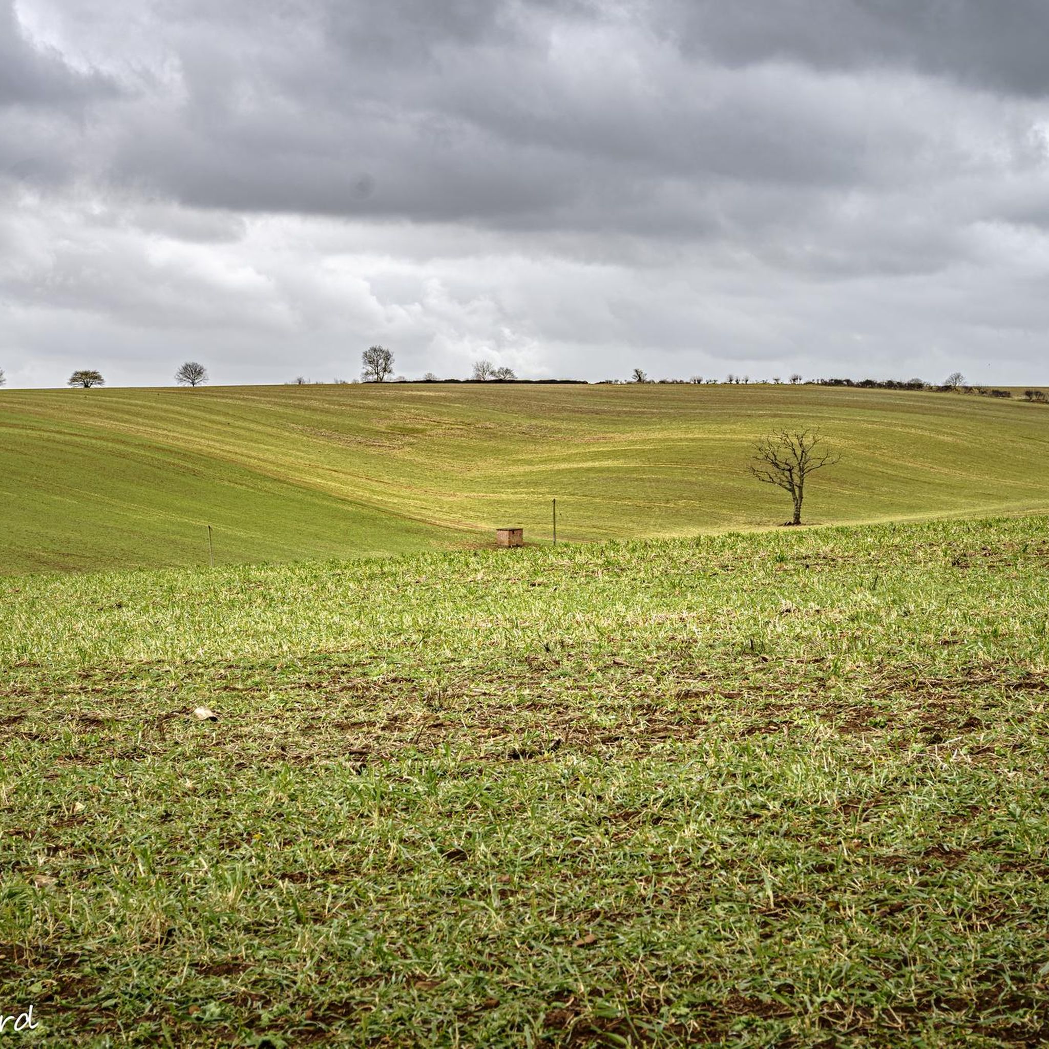
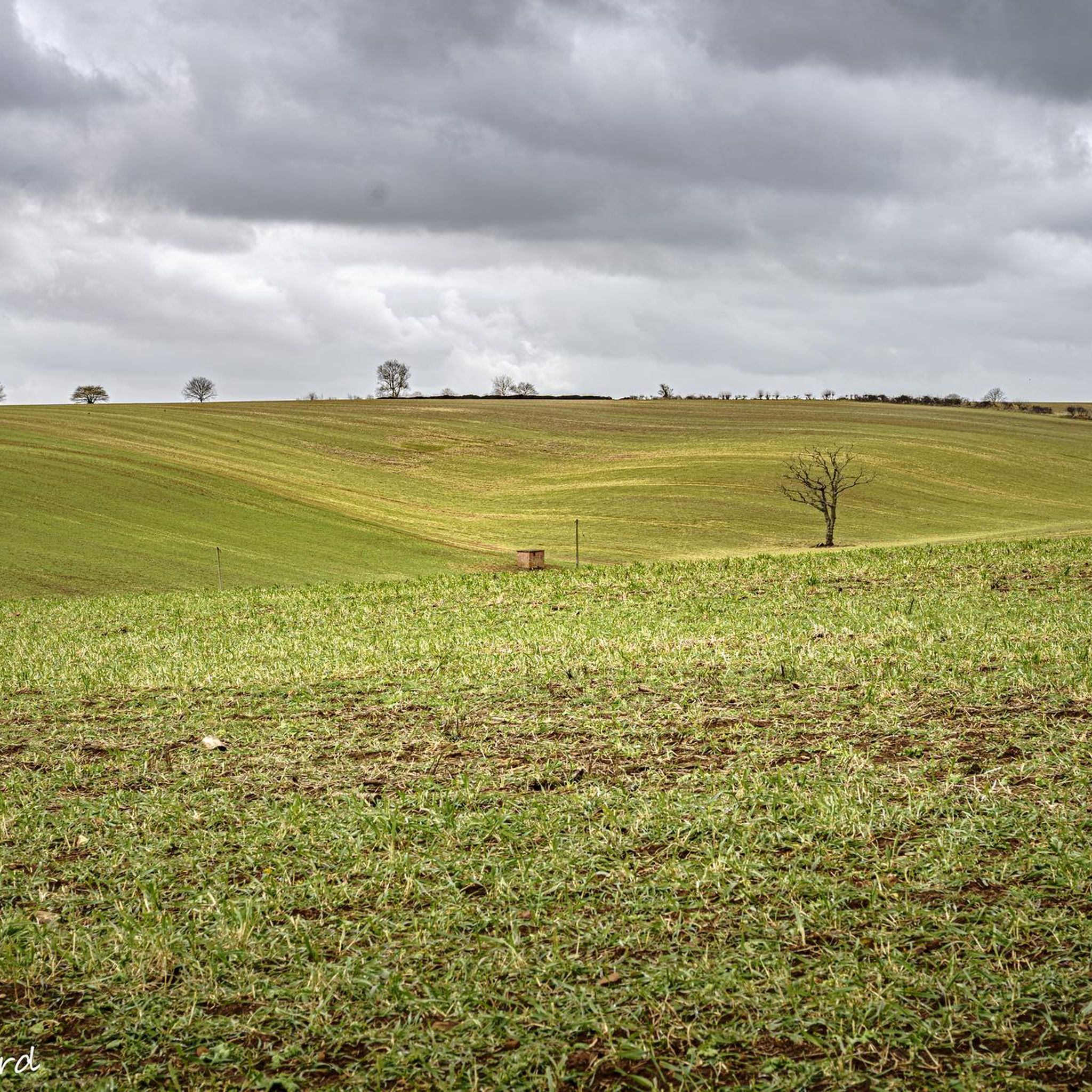
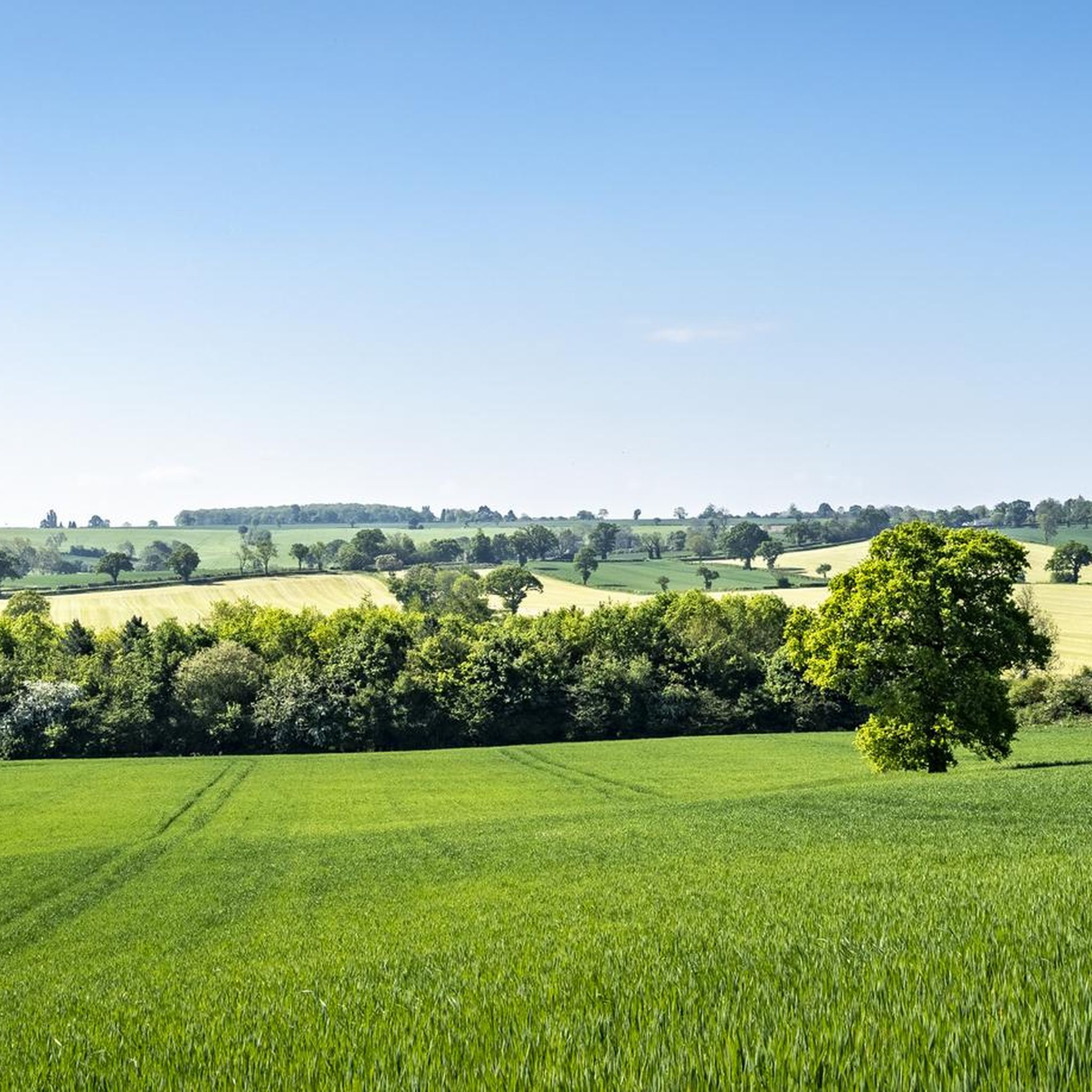
Jogging around Pattishall offers access to an extensive network of footpaths, bridleways, and village trails that traverse varied landscapes. The area features open countryside, fields, and gentle hills, providing diverse terrain for runners. Routes often follow the Pattishall Brook and cross "the Downs," with the highest point reaching 162 meters. This network connects villages like Astcote, Dalscote, Eastcote, and Fosters Booth, ensuring a range of running experiences.
Best jogging routes around Pattishall
- The most popular jogging route is Red Lion,…
Last updated: July 7, 2026
13
runners
7.48km
00:48
40m
40m
Moderate run. Good fitness required. Mostly paved surfaces. Suitable for all skill levels.
5
runners
22.0km
02:23
70m
70m
Hard run. Very good fitness required. Mostly paved surfaces. Suitable for all skill levels.

Sign up for free
7
runners
Moderate run. Good fitness required. Mostly paved surfaces. Suitable for all skill levels.
5
runners
10.9km
01:11
80m
80m
Moderate run. Good fitness required. Mostly paved surfaces. Suitable for all skill levels.
6
runners
6.54km
00:42
30m
30m
Moderate run. Good fitness required. Mostly paved surfaces. Suitable for all skill levels.
Get access to more routes and recommendations from other explorers.
Sign up for free
Already have an account?
Our route recommendations are based on thousands of hikes, rides, and runs completed by other people on komoot.
Start today with a free account
Your next adventure awaits.
Login or Signup


Tips from the Community

Lovely walk. Came across some cows and a bull but it was easily avoided by walking down the bridleway instead of the footpath.
0
0

Beautiful church in a peaceful setting. Worth the walk, some nice headstones and lots of history.
0
0

Lovely track thought cattle fields, be mindful of livestock and shut all gate's.
0
0

Looks as though this might have been the site of an old mill but not much sign of it now.
0
0
Lovely views, well worth the burn to take it all in from the top 👍
2
0
Great ride along the grand Union canal from Weedon to Bugbrooke. Towpath is a mix of surfaces from gravel, grass, mud
0
0

Follow the bridleway as it climbs up towards the long deserted hamlet of Glassthorpe. Nothing remains of Glassthorpe (it was depopulated by the early 18th century) but there are some nice views to the east from the top of the hill. You can follow the trail to the south until the hairpin on to the very fast gravel downhill on to Glassthorpe Lane, then drop down through Harpole down to the A45.
1
0
Frequently Asked Questions
What kind of terrain can I expect on running routes around Pattishall?
Jogging routes in Pattishall feature a varied landscape, including extensive footpaths, bridleways, and village trails. You'll encounter open countryside, fields, and gentle hills. Many paths follow the Pattishall Brook and cross 'the Downs', with the highest point reaching 162 meters. The area's network connects villages like Astcote, Dalscote, Eastcote, and Fosters Booth, offering diverse running experiences.
Are there many circular running routes available in Pattishall?
Yes, Pattishall is known for its well-developed network of footpaths that connect its villages and offer various circular routes through the countryside. A notable example is the Pattishall Millennium Walk, an 18-kilometer circular, way-marked route that can also be broken down into three shorter loops.
What are the typical lengths and durations of jogging routes in the Pattishall area?
Running routes around Pattishall vary in length and duration. For instance, the Red Lion, Kislingbury loop from West Northamptonshire is about 7.5 km (4.6 miles) and takes approximately 48 minutes. Longer routes like the Grand Union Canal – Iron Furnace loop from Bugbrooke span about 14.4 km (8.9 miles), typically completed in just under 1 hour 40 minutes.
Are there easy jogging routes suitable for beginners or casual runners in Pattishall?
Yes, Pattishall offers routes for various ability levels. While many are moderate, there are 44 easy routes available, perfect for beginners or those looking for a more relaxed run. These often include village trails and flatter sections of the wider footpath network.
What interesting landmarks or natural features can I see while jogging in Pattishall?
Many routes offer scenic views and pass by points of interest. You might encounter the historic Holy Cross Church, which features Saxon or early Norman stonework, or run alongside the picturesque Pattishall Brook. The area also has ancient lanes, such as those near the Roman Watling Street and Banbury Lane, and offers expansive views from higher points like the trig point at 162 meters. While jogging, you might also spot Borough Hill B-17 Bomber Memorial Bench or The Eleanor Cross, Hardingstone.
Are the jogging routes in Pattishall suitable for families with children?
Pattishall's extensive network of footpaths includes many routes that are suitable for families. The varied landscapes and options for shorter, circular walks, such as sections of the Pattishall Millennium Walk, make it possible to find trails that are enjoyable for different ages and fitness levels. Look for the 'easy' graded routes for the most family-friendly options.
Can I bring my dog on the running trails around Pattishall?
Yes, many of the footpaths and bridleways in Pattishall are dog-friendly. The Parish Footpath Warden program helps ensure public rights of way are accessible, making it generally welcoming for runners with dogs. Always ensure your dog is under control, especially when passing through fields with livestock.
What do other runners say about jogging in Pattishall?
The running routes in Pattishall are highly rated by the komoot community, with an average score of 3.4 stars from over 10 reviews. More than 4000 runners have used komoot to explore Pattishall's varied terrain, often praising the diverse countryside and well-maintained paths.
Are there options for parking or public transport access to the jogging routes?
While specific parking details for individual routes are best checked on komoot's route pages, the villages within Pattishall parish generally offer local parking options. For information on public transport, it's advisable to consult local transport services. The Parish Council actively maintains the footpath network, which can be explored further on their website: Pattishall Parish Council Footpaths.
What is the best time of year to go jogging in Pattishall?
Pattishall offers enjoyable running conditions throughout the year due to its diverse network of paths. Spring and autumn provide pleasant temperatures and vibrant scenery. Summer is ideal for longer runs, while winter can offer crisp, clear days, though some paths might be muddier. The Parish Footpath Warden program ensures paths are kept clear and accessible year-round.
How many jogging routes are available in the Pattishall area?
There are over 360 jogging routes available around Pattishall, offering a wide variety of options for runners of all levels. This includes 44 easy routes, 252 moderate routes, and 67 more challenging trails.
Where can I find more detailed maps or information about the local footpath network?
The Pattishall Parish Council is dedicated to maintaining the local footpath network. You can find more detailed information and maps of the public rights of way on their website, such as the Pattishall Civil Parish Map and a Millennium Walk Trail Map.
Most popular routes around Pattishall
Most popular attractions around Pattishall

Get inspired with the komoot mobile app


Explore more
Browse the best Running Trails & Routes in other regions.
