Routes

Planner

Features

Updates

App

Login or Signup

Get the App

Login or Signup

Routes
Hikes
Germany
Bavaria
Swabia
Allgäu
Unterallgäu

Woringen

The best walks and hikes around Woringen

4.5

(3225)

13,209

hikers

14

hikes

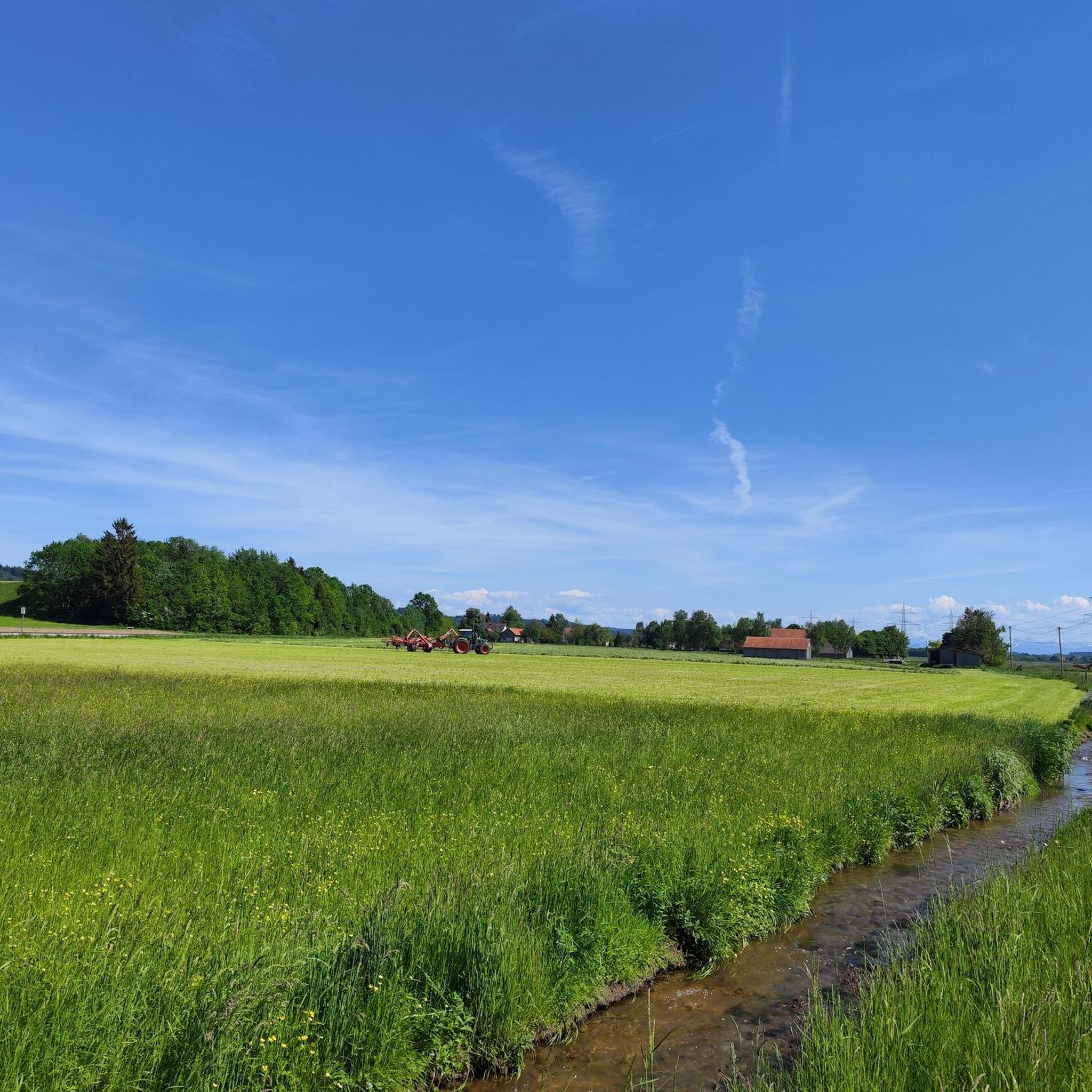
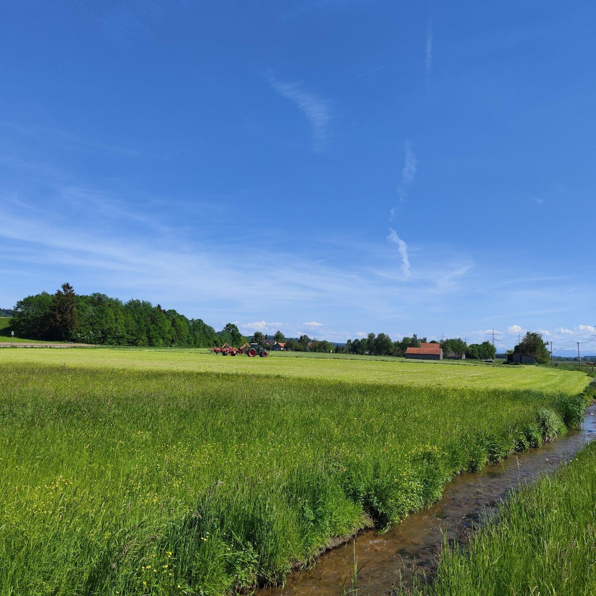
Hiking around Woringen offers diverse landscapes within the rolling hills of the Unterallgäu region in Bavaria, Germany. The area is characterized by varied woodlands, extensive forest paths, and tranquil meadows, providing a dynamic hiking experience. Trails often integrate historical sites such as Kronburg Castle and the ancient Celtic refuge castle at Burgösch with the Kellerberg. This combination of natural beauty and cultural landmarks defines the hiking opportunities in Woringen.

Best hiking trails around Woringen

  • The most popular hiking route is…

Last updated: June 25, 2026

5.0

(2)

12

hikers

#1.

Beautiful trail loop from Woringen

5.30km

01:24

40m

50m

Moderate hike. Great for any fitness level. Mostly accessible paths. Sure-footedness required.

Navigate with device

Send to Phone

Save

Moderate

Easy hike. Great for any fitness level. Easily-accessible paths. Suitable for all skill levels.

Easy
guide_signup
Let us show you the way with the komoot mobile app
With a free komoot account, you can easily find, customize, and navigate endless outdoor adventures.

Sign up for free

5.0

(2)

14

hikers

Easy hike. Great for any fitness level. Easily-accessible paths. Suitable for all skill levels.

Easy

5.0

(1)

10

hikers

Easy hike. Great for any fitness level. Easily-accessible paths. Suitable for all skill levels.

Easy

Moderate hike. Good fitness required. Easily-accessible paths. Suitable for all skill levels.

Moderate
Sign up for free to see 10 more hikes around Woringen.

Get access to more routes and recommendations from other explorers.

Sign up for free

Already have an account?

Our route recommendations are based on thousands of hikes, rides, and runs completed by other people on komoot.

Start today with a free account

Your next adventure awaits.

Login or Signup
Popular around Woringen

Cycling around Woringen

Gravel biking around Woringen

Road Cycling Routes around Woringen

MTB Trails around Woringen

Running Trails around Woringen

Tips from the Community

Robert
July 23, 2025, Landestheater Schwaben Memmingen

Very great cultural center in the city center!

Translated by Google

2

0

very cheap standing café in Zell - worth it for a short coffee break

Translated by Google

1

0

A beautiful church, with a museum and cafe. Unfortunately, the cafe is only open on Saturdays and Sundays.

Translated by Google

0

0

Cozy inn and delicious food

Translated by Google

0

0

GREAT FOOD, GREAT ATMOSPHERE, GREAT HOST

Translated by Google

0

0

The new fisherman's fountain stands in front of the wine bar "Zum Goldenen Löwen" on Schrannenplatz. The inscription on the fountain reads: Donated in 1955 by newspaper publisher August Schwingenstein, born March 9, 1881 on Schrannenplatz, died November 5, 1968. Source: https://www.memmingen.de/aktuell-presse/nachrichten-und-termine/pressemeldungen/archiv/singlenews-archiv/news/detail/News/das-symbol-fuer-den-memminger-fischertag.html

Translated by Google

0

0

The Kempter Gate is a city gate in the Upper Swabian city of Memmingen. The gate is located on the south side of the old town in the old Wegbach settlement. A section of the original battlement of the Hohe Wacht has been preserved near the gate. It is located in the immediate vicinity of the Soldiers' Tower and the Red Barracks. Of all the gates of the second city expansion, only the Kempter Gate has retained its original shape. The narrow, high gate has a gable roof. On the south side and on the inside, it has a clock in the gable, flanked by the imperial eagle and the city coat of arms. On a bulge on the outside, the double city coat of arms frames a small window. The inside, with the exception of the clock, is painted pink. The name is a reference to the trade relations with the neighboring city of Kempten. In the 14th century, the so-called Wegbach settlement was incorporated into the city fortifications. The city wall, which still exists in large parts today, was built around 1390 and the Kempter Gate was completed as the southern exit in 1395. The weavers, tanners and the impure quarter with the executioner and whorehouse who lived there were protected by a massive bulwark. In the long series of city sieges and city captures, the troops preferred to attack from the west, because the Kempter Gate was difficult to capture due to the high, massive bulwarks in front of the gate, the flank protection of the Hohe Wacht and the deep moat. As a result, it was never destroyed. Along with the Ulm Gate, it has the typical Swabian tall, slender and yet massive gabled construction of the time. In the Middle Ages, those sentenced to death were led through this gate to the Galgenberg outside the city gates. They were accompanied by the shrill sound of the pauper's bell of St. Martin. From the middle to the end of the 19th century, many parts of the city wall were demolished, partly at the request of the city's population, partly because of the construction of the railway. After the Notzentor disappeared in 1863, the southern part of the city also wanted to be freed from the narrow passage of the Kempter Gate. However, the district government in Augsburg prohibited the demolition, but allowed a breach in the wall next to the gate. In 1893, this second gate entrance was created to the right of the gate in order to "accommodate the increasing traffic on this side of the city". Source: https://de.wikipedia.org/wiki/Kempter_Tor

Translated by Google

0

0

The Memmingen City Theater, also known as the Theaterstadel, is a municipal theater building in the Upper Swabian city of Memmingen. The building, which formerly belonged to the Augustinian monastery, has been used as a theater since 1802. Today it is the headquarters of the State Theater of Swabia. The building is centrally located in the southern old town of Memmingen between the Weinmarkt and Schrannenplatz. In front of the building is the Theaterplatz, the building has the address Theaterplatz 4–6. The building originally housed the St. Elisabeth nunnery. The Augustinian monastery outside the city of Memmingen arose from a community of women who had joined together according to the rule of the third order of St. Francis to care for the poor and the sick. The St. Elisabeth Monastery, first mentioned in 1258, was a simple but large gabled building in a north-south direction with a small monastery church (today's theater foyer) at right angles to it. Around 1380, the monastery was integrated into the city as part of the city's expansion. As part of the renovations and new buildings on the monastery church, the three-wing cloister with cross-ribbed vaults was built on the south side of the monastery church between 1472 and 1475. The vault keystone in the 3rd bay with the master stonemason's mark proves that the cloister was completed in 1475. The cloister can now be entered through the theater foyer. It contains frescoes by the artist Hans Strigel the Younger. The St. Elisabeth Monastery was the first Memmingen monastery to be secularized in 1529 as part of the Reformation. The monastery building became the property of the Lower Hospital and underwent various changes in use, probably with extensive structural changes. Initially, the imperial city's almshouse was located here, before the Latin school moved in in 1572. When this school closed after the mediatization of the imperial city of Memmingen in 1802, the former monastery building became a primary school ("Elsbethenschule"). The monastery church was converted into a tithe barn and residential building in 1610. After another renovation in 1620, the former monastery church was used as the imperial city's armory until 1802. In 1802, the "Dramatic Lovers' Society" acquired the building and built a theater in it, today's city theater. Source: https://de.wikipedia.org/wiki/Stadttheater_Memmingen

Translated by Google

1

0

Frequently Asked Questions

How many hiking trails are available around Woringen?

Woringen offers a good selection of hiking opportunities, with over 15 distinct trails to explore. These routes cater to various preferences, including easy strolls and more moderate hikes through the diverse landscape.

What kind of landscape can I expect on hikes near Woringen?

Hiking around Woringen takes you through the picturesque, rolling hills of the Unterallgäu region. You'll encounter varied woodlands, extensive forest paths providing ample shade, and tranquil open meadows, offering a dynamic and scenic experience.

Are there easy hiking options in Woringen?

Yes, Woringen has several easy hiking options. For example, the Celtic Earthworks loop from Woringen is an easy 3.8-mile (6.1 km) path that explores historical sites. Overall, 8 of the available routes are classified as easy.

Are there any circular hiking routes in Woringen?

Many of the trails around Woringen are designed as circular routes, allowing you to start and end at the same point without retracing your steps. Examples include the popular Beautiful trail loop from Woringen and the Schlössle Woringen loop from Woringen.

What do other hikers say about the trails in Woringen?

The hiking trails in Woringen are highly regarded by the komoot community, with an impressive average score of 4.5 stars from over 3,000 reviews. Hikers often praise the well-maintained paths, the blend of natural beauty, and the historical points of interest along the routes.

Are there historical sites or landmarks to see while hiking in Woringen?

Absolutely. Woringen's hiking trails often integrate historical sites. You can explore the impressive Kronburg Castle, discover the ancient Celtic refuge castle at Burgösch with the Kellerberg, or follow the dedicated 'History and Culture Trail' to learn about the municipality's past. The Zell Church loop from Woringen also passes by a notable local landmark.

Can I visit Kronburg Castle on a hike?

Yes, many hiking routes in the Woringen area include quiet paths through forests and meadows that lead around the impressive Kronburg Castle. The castle's courtyard is noted as a 'true feast for the eyes' and offers a blend of nature and historical sightseeing.

What is the significance of Burgösch with the Kellerberg?

Burgösch with the Kellerberg is a significant historical site, particularly featured on the 'History and Culture Trail'. It was once a Celtic refuge castle dating back to around 300 BC, with remnants of earth walls and ditches still visible. Later, a 14th-century castle was built here, and today you can still see a well-preserved castle moat and a vaulted cellar that served as a beer cellar in the 19th century.

Where can I park my car for hiking in Woringen?

A convenient starting point for many trails, particularly those largely following forest paths, is the 'Trimm-Pfad' parking lot located west of Dickenreis. This provides easy access to several routes.

Are the hiking trails around Woringen suitable for families with children?

Yes, Woringen offers several family-friendly hiking options, especially the easier routes that traverse meadows and less challenging forest paths. The combination of natural beauty and historical sites like Burgösch can also make for an engaging outing for children.

Can I bring my dog on the hiking trails in Woringen?

Generally, dogs are welcome on the hiking trails around Woringen. The varied woodlands and open meadows provide a great environment for walks with your canine companion. Always ensure your dog is under control and respect local regulations regarding leashes, especially near wildlife or agricultural areas.

What is the typical terrain like on Woringen's hiking trails?

The terrain around Woringen is characterized by rolling hills, offering gentle ascents and descents. You'll primarily walk on well-maintained forest paths, through dense woodlands, and across expansive, tranquil meadows. The paths are generally natural and unpaved, providing a classic hiking experience.

Are there any longer or more challenging hikes available?

While Woringen is known for its accessible trails, there are options for those seeking a bit more challenge. About half of the routes are classified as moderate, such as the Chapel in Allgäu – Celtic Earthworks loop from Woringen, which covers 4.7 miles (7.6 km) with more elevation gain, offering a longer and more strenuous experience.

Most popular routes around Woringen

Traffic-free bike rides around Woringen

Most popular attractions around Woringen

Places to see

Store rating

Get inspired with the komoot mobile app

With a free komoot account, you can easily find, customize, and navigate endless outdoor adventures.

or

Join komoot Now

Store rating

Explore more

Browse the best Hikes in other regions.

Bad WörishofenBad GrönenbachOttobeurenMindelheimKronburgMindelheimer StadtwaldLegauTürkheimRonsbergMarkt WaldBöhenWolfertschwendenWiedergeltingenKettershausenIrsingener LakeErkheimFrankenhofner LakeKammlachBingstetter LakeOtterwaldUngerhauser WaldBenningenTussenhausenPleßWörishofener WaldOberrieden, UnterallgäuUntereggFellheimUngerhauser WaldMarkt RettenbachLautrachTrunkelsbergOberschöneggNiederriedenHolzgünzHawangenAllmanshornEgg an der GünzApfeltrachDirlewangEppishausenHeimertingenMemminger StadtwaldSontheimSalgenKirchheim in SchwabenHochfirstKirchhaslachPfaffenhausenUngerhausenMemmingerbergWinterrieden

Nearby adventure guides

Things to Do in Memminger Stadtwald

background

Get ready to conquer new peaks

Sign up for Free

Explore
RoutesRoute plannerFeaturesHikesMTB TrailsRoad cycling routesBikepackingSitemap
Download the app
Follow Us on Socials

© komoot GmbH

Privacy Policy