The best road cycling routes around Guilsborough
4.7
(111)
2,086
riders
188
rides
Road cycling routes around Guilsborough traverse varied landscapes, offering options for different fitness levels. The area is characterized by rolling hills and uplands, providing scenic views across the Northamptonshire countryside. Many routes feature mostly well-paved surfaces, making them suitable for road bikes. Notable natural features include several reservoirs and areas of light woodland.
Best road cycling routes around Guilsborough
- The most popular road cycling route is The Workhouse Café – Harrington Hill Climb loop from Hollowell, a 30.7 miles…
Last updated: October 10, 2026
33
riders
50.2km
02:34
520m
520m
Moderate road ride. Good fitness required. Mostly well-paved surfaces and easy to ride.
25
riders
29.0km
01:24
270m
270m
Easy road ride. Great for any fitness level. Mostly well-paved surfaces and easy to ride.

3.5
(2)
42
riders
30.4km
01:25
200m
200m
Easy road ride. Great for any fitness level. Mostly well-paved surfaces and easy to ride.
5.0
(1)
11
riders
45.9km
02:08
390m
390m
Moderate road ride. Good fitness required. Mostly well-paved surfaces and easy to ride.
12
riders
25.4km
01:17
250m
250m
Easy road ride. Great for any fitness level. Mostly well-paved surfaces and easy to ride.
Get access to more routes and recommendations from other explorers.
Already have an account?
Our route recommendations are based on thousands of hikes, rides, and runs completed by other people on komoot.
Start today with a free account
Your next adventure awaits.




Tips from the Community


This climb is a leg-burner, perfect for a serious workout. In reverse, it’s a scenic, enjoyable downhill, offering sweeping views of the countryside - so a rewarding ride in either direction.
2
0


Where maps and the British landscape are concerned, Cold Ashby has something of a claim to fame. It was here, on 18 April 1936, that the Ordnance Survey's first trig pillar was erected, starting the Retriangulation of Great Britain, which saw over 11,000 pillars installed in order to accurately map the land. Unsurprisingly, given Cold Ashby's selection as a trig point venue, it occupies high ground. In fact, this is the highest village in Northamptonshire, at 656 feet (200 m) above sea level.
0
0

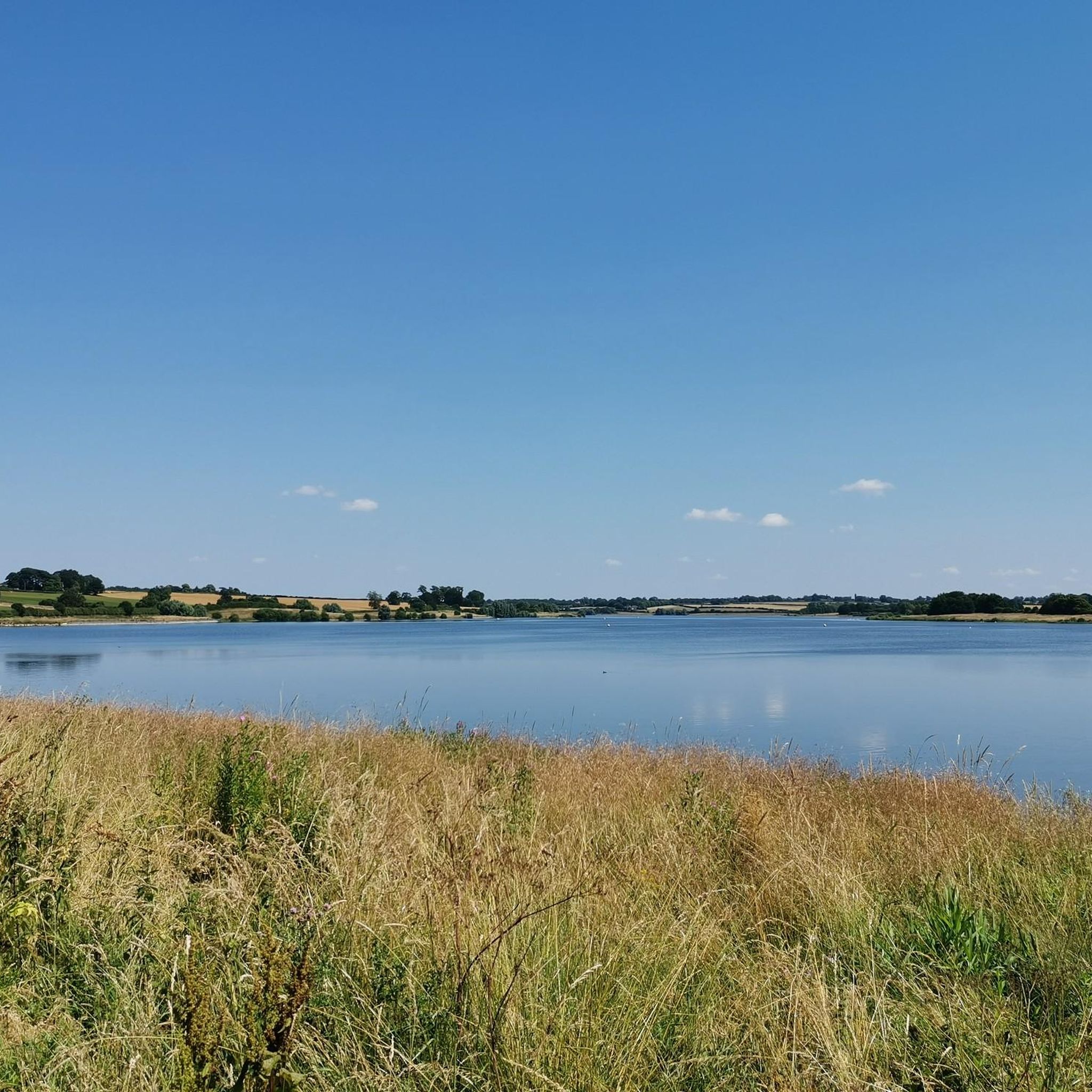
Stanford Reservoir lies on the border of Leicestershire and Northamptonshire. It requires a permit to visit, but you can enjoy views from the road.
1
0
The source of the River Welland issues as a spring at Spring Croft, Church Street in Sibbertoft.
0
0
This attractive Northamptonshire village lies on the route of the Jurassic Way long-distance footpath and is an important stop off just above Watford Gap. There are a number of amenities for walkers, including three pubs, one of which has rooms for the night. There are also bed and breakfast options and a grocery store.
0
0

One of my favourite stretches. Easy to find some gravel round there too if that's your thing.
1
0
Frequently Asked Questions
How many road cycling routes are available in Guilsborough?
There are over 200 road cycling routes around Guilsborough, offering a wide variety of options for different skill levels and preferences. The komoot community has explored more than 200 routes in the area.
What kind of terrain can I expect when road cycling around Guilsborough?
Guilsborough is characterized by rolling hills and uplands, providing scenic views across the Northamptonshire countryside. Most routes feature well-paved surfaces, making them ideal for road bikes. You'll find a mix of gentle ascents and more challenging climbs.
Are there routes suitable for beginners or those looking for an easy ride?
Yes, Guilsborough offers several easy road cycling routes. For example, the Honey Hill – Swinford Village loop from West Haddon is an easy 18.9-mile path, and the Ravensthorpe Reservoir – Coton Manor Garden Café loop from Guilsborough is a 15.8-mile easy trail.
Where can I find challenging climbs for road cycling in the Guilsborough area?
For those seeking a challenge, routes like The Workhouse Café – Harrington Hill Climb loop from Hollowell offer notable hill climbs and varied terrain. This 30.7-mile route includes significant elevation gains, perfect for experienced cyclists.
What natural features or landmarks can I see while cycling?
The region boasts several picturesque natural features. You can cycle past scenic reservoirs like Pitsford Water and Ravensthorpe Reservoir. Honey Hill is also a notable feature, offering stunning views across the heart of England. Areas of light woodland, such as Harlestone Firs, also provide beautiful scenery.
Are there any scenic viewpoints along the road cycling routes?
Yes, the elevated position of Guilsborough provides beautiful views eastwards across a valley and the Northamptonshire Uplands. Honey Hill is particularly renowned for its stunning views, where on a clear day, you can reportedly see five different counties.
Can I find circular road cycling routes in Guilsborough?
Many of the road cycling routes in Guilsborough are designed as loops, allowing you to start and end in the same location. Examples include the Honey Hill – West Haddon Village loop from West Haddon and the View of Stanford Reservoir – Lilbourne Castle loop from West Haddon.
Are there places to stop for refreshments or amenities along the routes?
Yes, several routes pass by villages or attractions with amenities. Pitsford Water, for instance, is a major attraction with a café and public toilets. The village of Guilsborough itself offers local amenities like a pub and a village shop, and some routes are named after cafes, such as The Workhouse Café.
What is the best time of year to go road cycling in Guilsborough?
The rolling hills and well-maintained roads of Guilsborough are enjoyable throughout the warmer months. Spring and autumn offer pleasant temperatures and beautiful scenery, while summer provides longer daylight hours. Always check local weather conditions before heading out.
Are there options for parking when planning a road cycling trip to Guilsborough?
While specific parking areas for cyclists are not explicitly detailed for every route, many routes start from villages like Guilsborough, Hollowell, or West Haddon, where public parking may be available. Pitsford Water also offers facilities, including parking, making it a convenient starting point for rides in that area.
What do other cyclists say about road cycling in Guilsborough?
The road cycling routes in Guilsborough are highly rated by the komoot community, with an average score of 4.8 stars from over 100 reviews. Cyclists often praise the varied terrain, picturesque views, and the quality of the road surfaces.
Are there any historical sites I can explore near the cycling routes?
Guilsborough and its surroundings have historical significance, with remnants of Roman and Saxon settlements, including Roman fort remains and ancient churches. While not directly on every cycling route, these historical elements add a cultural dimension to explorations of the area.
Can I bring my dog on road cycling routes in Guilsborough?
Road cycling routes are generally on public roads and are not typically suitable for dogs due to traffic and safety concerns. For dog-friendly outdoor activities, you might consider walking trails in areas like Harlestone Firs or around the reservoirs, where dedicated paths might be available.
How accessible is Guilsborough by public transport for cyclists?
Guilsborough is a rural village, and direct public transport links specifically catering to cyclists with bikes might be limited. It's advisable to check local bus services for routes that allow bikes, or consider driving to a starting point with suitable parking.
Most popular routes around Guilsborough
Most popular attractions around Guilsborough

Get inspired with the komoot mobile app


Explore more
Browse the best Road cycling routes in other regions.
