The best walks and hikes around Wriezen
4.6
(3789)
12,079
hikers
96
hikes
Hiking around Wriezen offers diverse landscapes, from the expansive lowlands of the Oderbruch region to areas featuring a "low mountain range" with varied topography. The trails frequently lead through forests and past numerous small lakes, such as Baasee. Hikers can expect to encounter shady forest paths, sun-drenched deciduous forests, narrow valleys, and various small bodies of water, providing a rich natural experience.
Best hiking trails around Wriezen
- The most popular hiking route is Teller Hut – Waldschenke at Lake Baasee…
Last updated: October 31, 2026
4.6
(36)
117
hikers
11.6km
03:06
130m
130m
Moderate hike. Good fitness required. Easily walkable paths.
4.4
(10)
22
hikers
Moderate hike. Good fitness required. Easily walkable paths.

4.8
(6)
17
hikers
10.6km
02:46
80m
80m
Moderate hike. Good fitness required. Easily walkable paths.
5.0
(3)
17
hikers
15.0km
03:58
140m
140m
Moderate hike. Good fitness required. Easily walkable paths.
4.1
(8)
19
hikers
12.2km
03:05
20m
20m
Moderate hike. Good fitness required. Easily walkable paths.
Get access to more routes and recommendations from other explorers.
Already have an account?
Our route recommendations are based on thousands of hikes, rides, and runs completed by other people on komoot.
Start today with a free account
Your next adventure awaits.
Popular around Wriezen
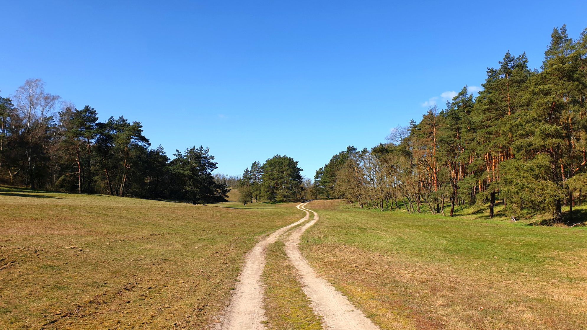
Germany’s Oderlandweg — explore Brandenburg's Little Thuringia
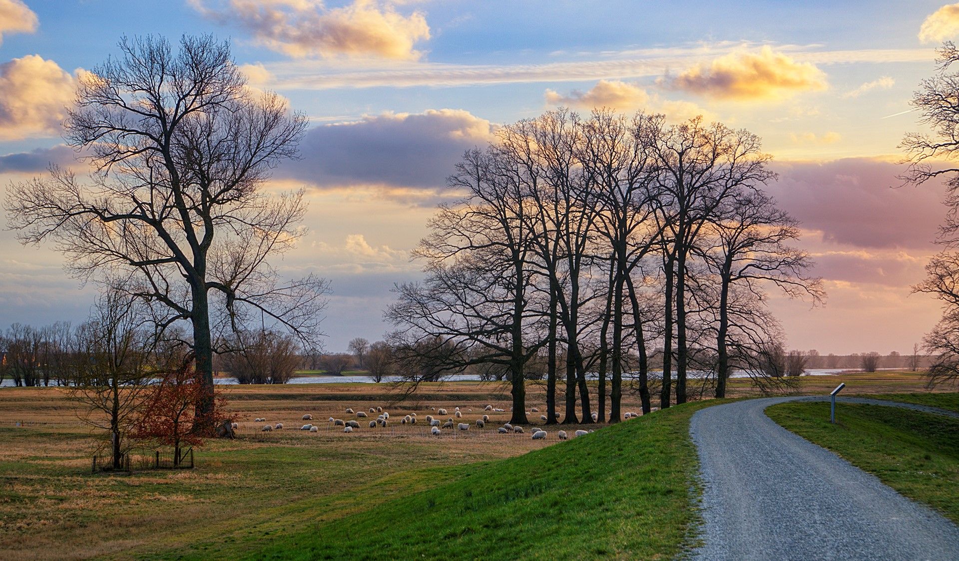
Tour Brandenburg – Cycle around Berlin in 18 stages
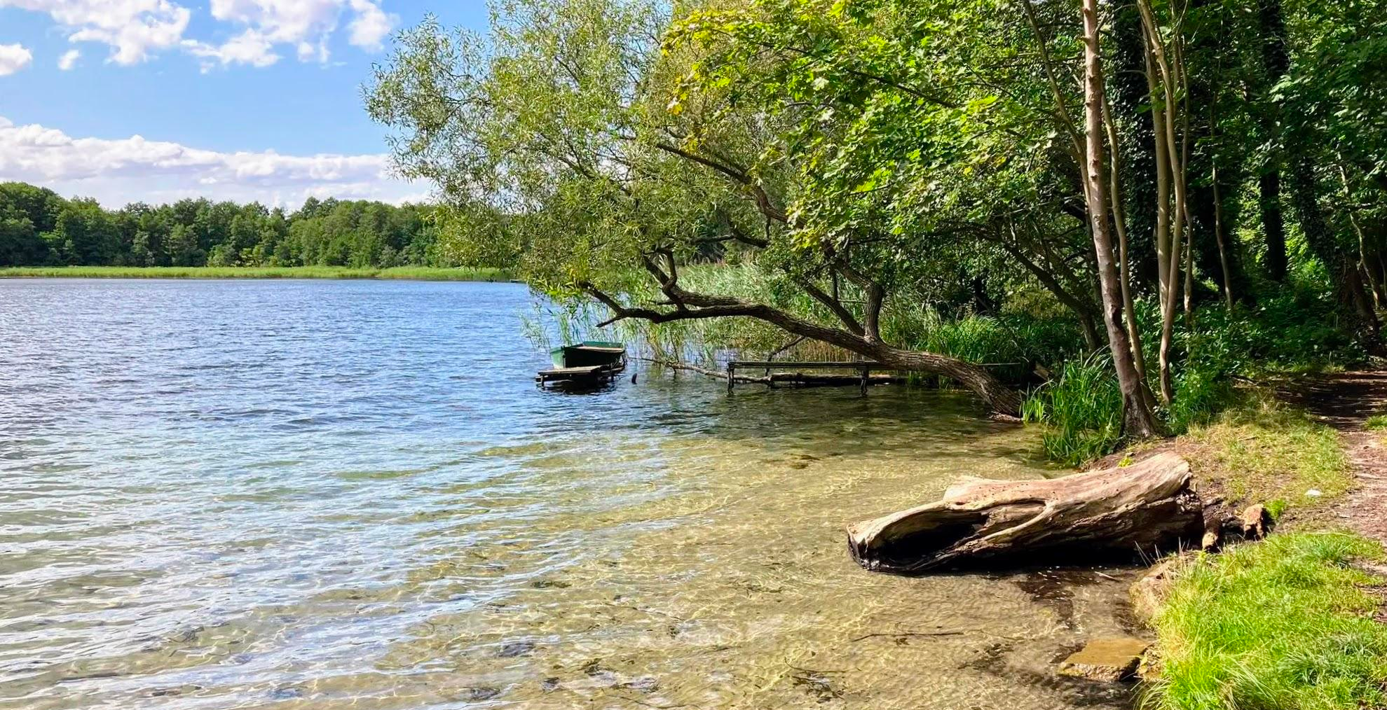
Cycling through an unknown land of lakes – Western Lake District Route
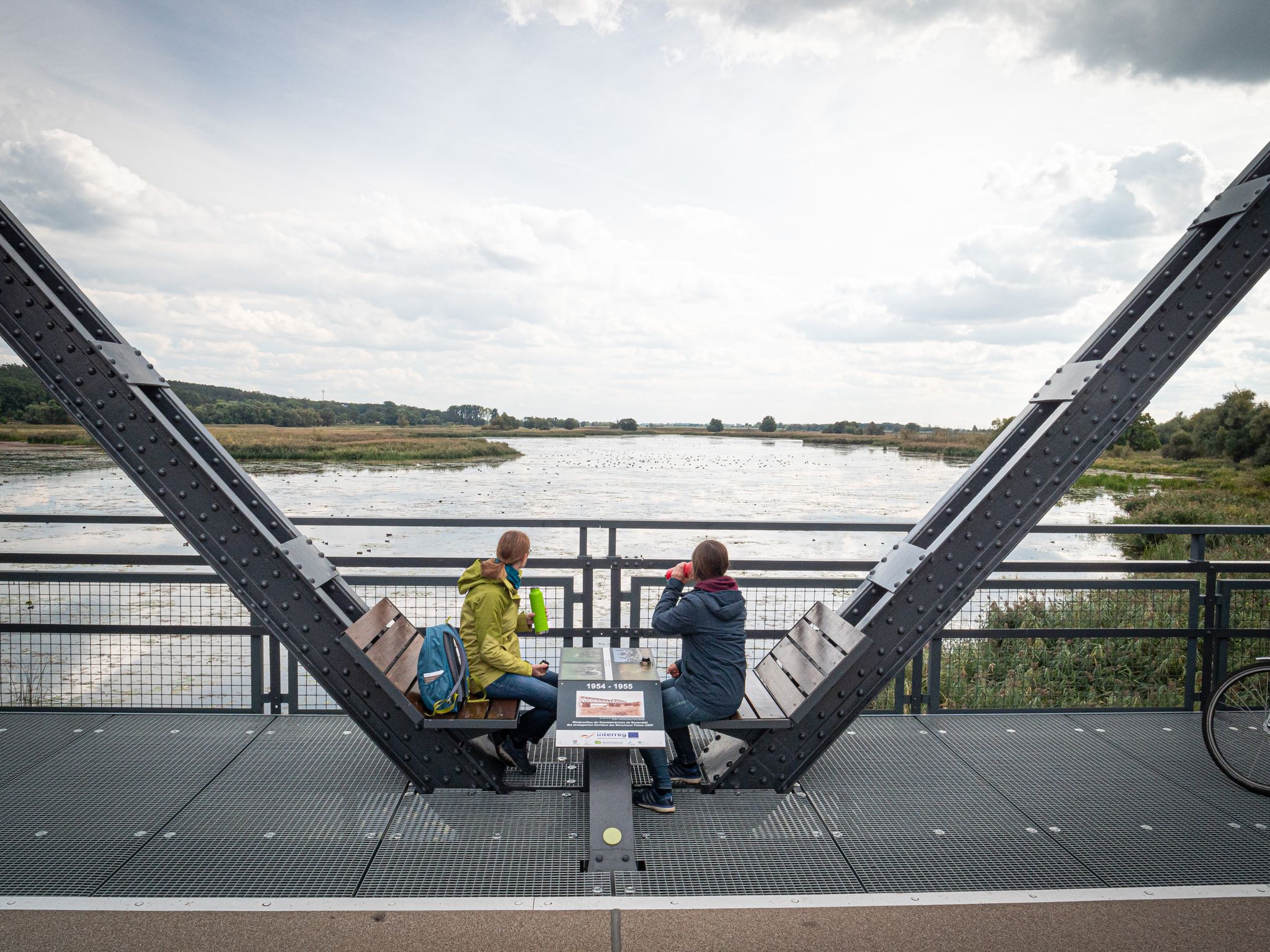
Travelling without boundaries – German-Polish cycling trips
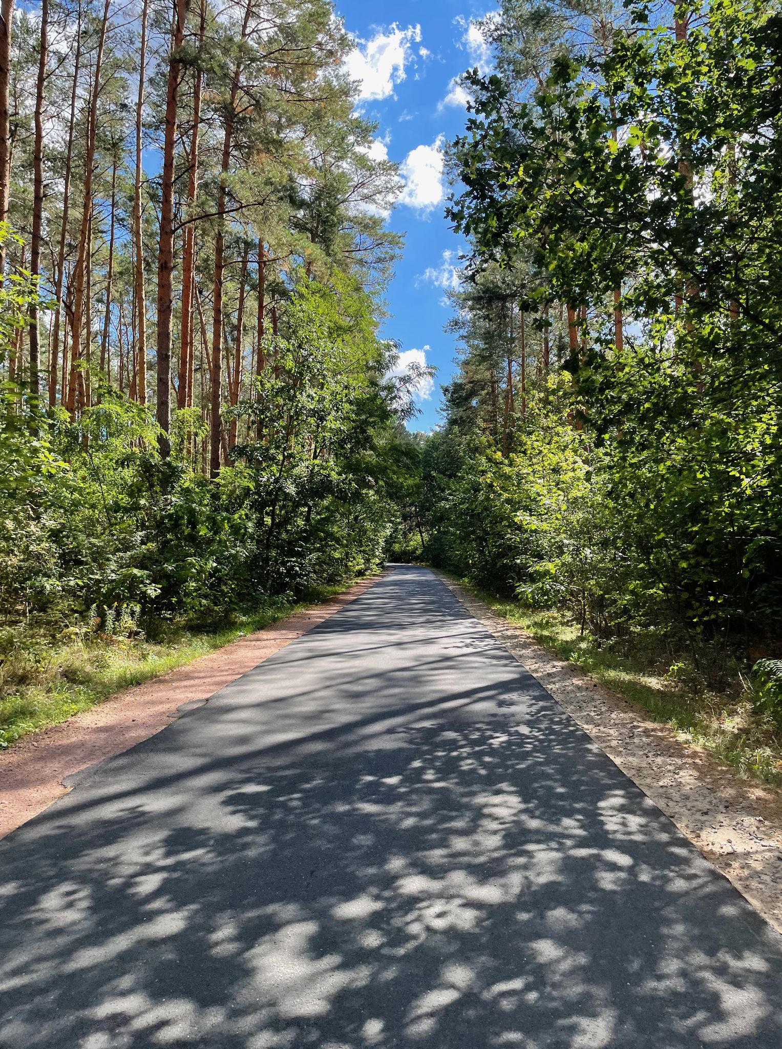
Bikepacking on Germany’s Oderbruchbahn Cycle Path
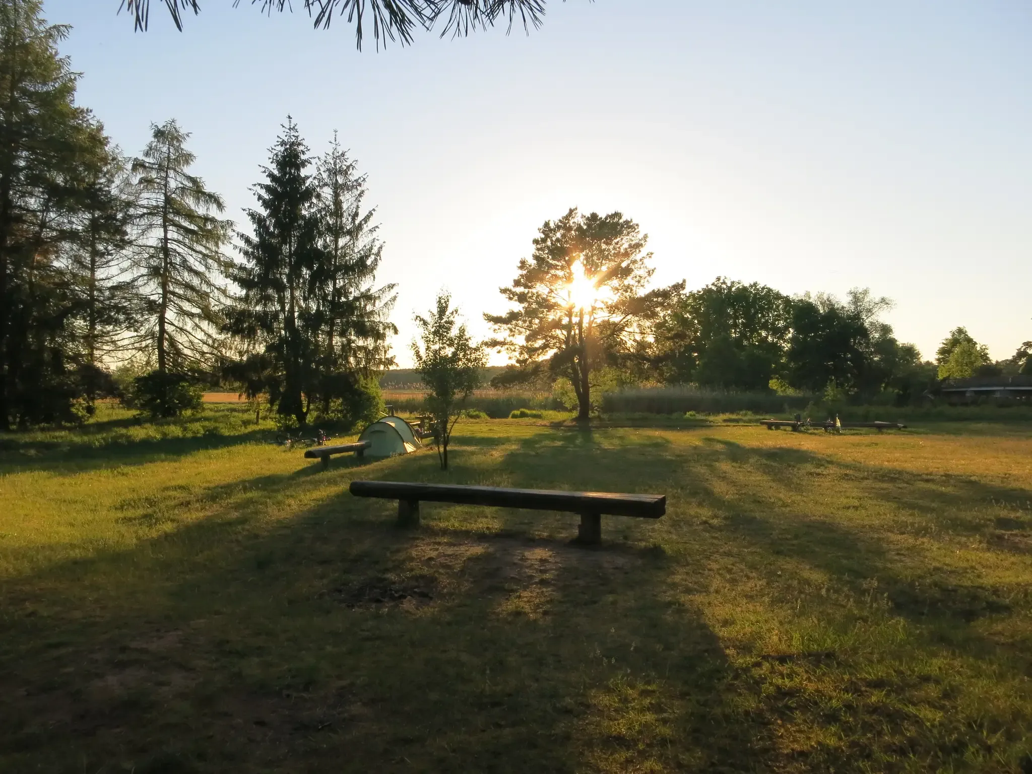
Natural campsites around Berlin
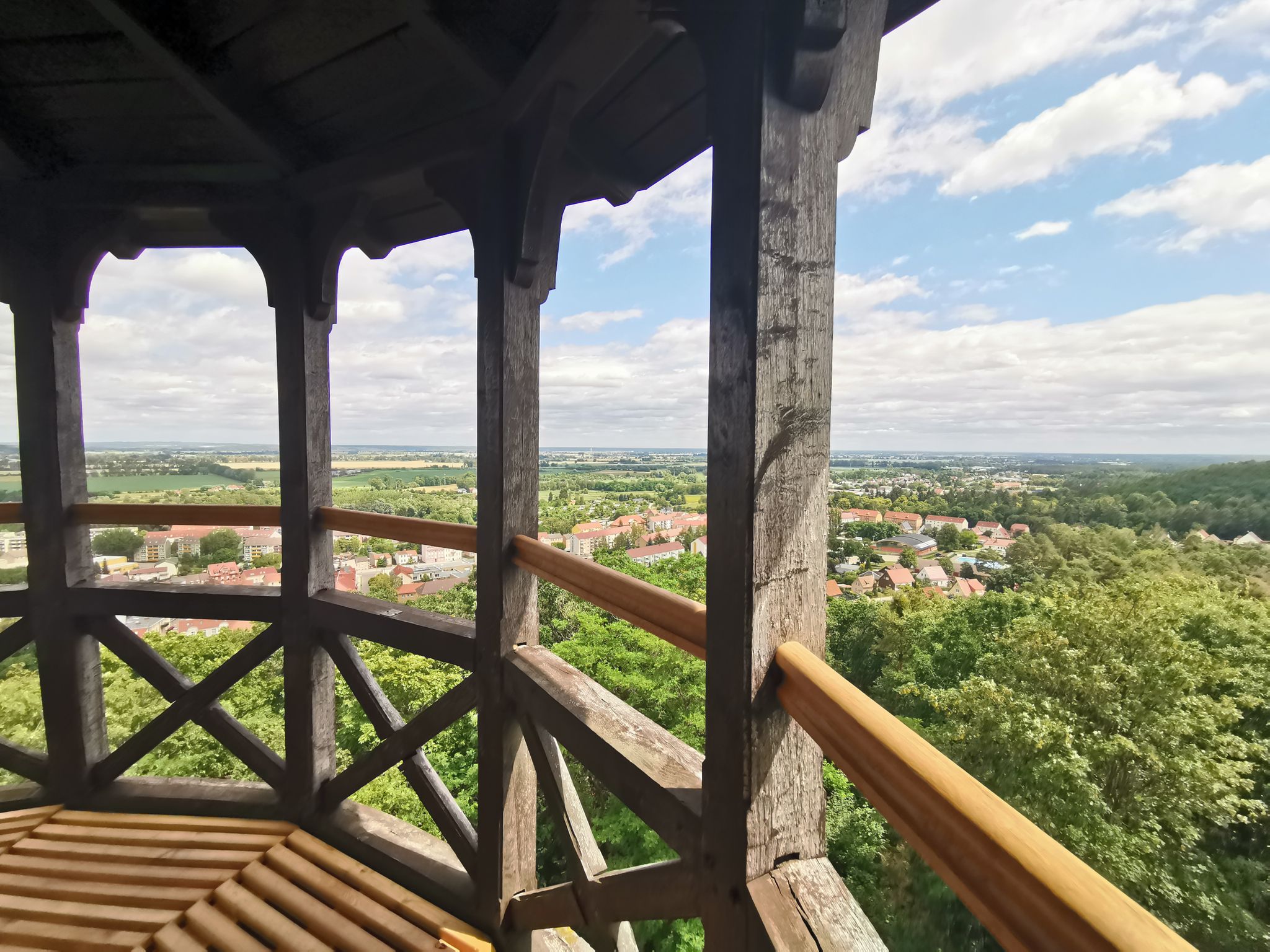
Oderlandweg - Wandern im Seenland Oder-Spree
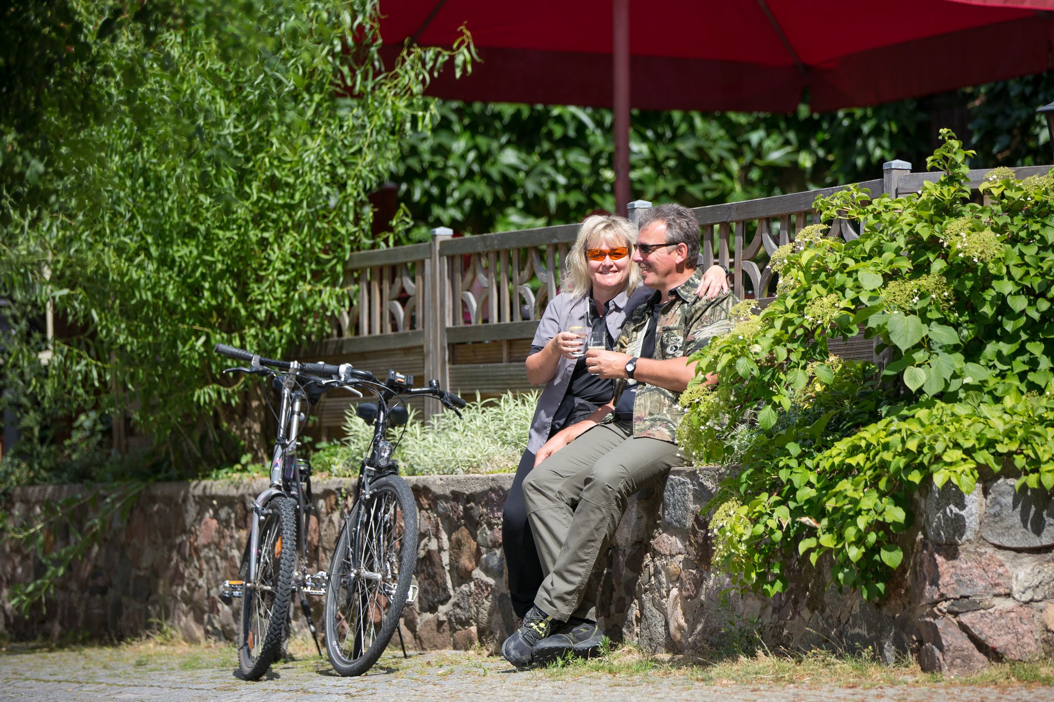
Tour Brandenburg - Radfahren im Seenland Oder-Spree

Cycling around Wriezen

Road Cycling Routes around Wriezen
Other adventures around Wriezen


Tips from the Community

This shelter with a rest area is called "Hütte am Teller". From here, you can continue in numerous directions.
2
0
Larger rest area with several huts for larger hiking groups. Between the huts, a path leads down to the Baasee. In the other direction, it goes steeply up stairs to the Höhenrundweg.
2
0
The path winds through a wide variety of groves, steadily descending to the Baasee. Loose stones, fallen branches and twigs, sandy and green sections make it a varied trail.
2
0

Fish Strudel
0
0

Between the table and the left seating area, a path leads down to a bench overlooking the lake.
0
0

Beautiful lake near Sonnenburg. There are several options for accessing the water. In my opinion, one is more interesting than the Baasee.
1
0
Small roofed hut with a great view of Lake Baasee. Ilse is the poor charcoal burner's daughter from the legend "The Sunken Chapel in Lake Baasee."
4
0
Frequently Asked Questions
What kind of terrain can I expect on hiking trails around Wriezen?
Hiking around Wriezen offers a diverse landscape. You'll find expansive lowlands of the Oderbruch region, areas with a "low mountain range" providing varied topography, and numerous trails leading through magnificent forests and past small, picturesque lakes like Baasee. Expect a mix of shady forest paths, sun-drenched deciduous forests, narrow valleys, and various small bodies of water.
Are there many circular hiking routes available in Wriezen?
Yes, Wriezen is an excellent base for circular hikes. Many routes are designed as loops, catering to different fitness levels. For example, the Teller Hut – Waldschenke at Lake Baasee loop from Rädikow is a popular moderate option exploring the area around Lake Baasee.
What are the difficulty levels of hiking trails around Wriezen?
The trails around Wriezen offer options for all abilities. There are 47 easy routes perfect for a leisurely stroll, 37 moderate routes for those with good basic fitness, and 5 more challenging options for experienced hikers looking for a greater workout.
Are there any trails that pass by lakes or offer water views?
Absolutely. Many hiking trails in Wriezen lead past lakes and small bodies of water. Lake Baasee is a prominent feature on several routes, and you can also find trails like the Shore Path at Sternebecker See – Sternebeck Railway Station loop from Haselberg which offers beautiful views of Sternebecker See.
What are some notable natural features or landmarks to look out for on hikes near Wriezen?
Beyond the scenic forests and lakes, you can discover interesting natural and man-made features. Highlights include the Wolf Gorge (Märkische Schweiz), the Devil's Lake (Bad Freienwalde), and the View of the Neurüdnitz-Siekierki European bridge. The Oderbruch region itself offers expansive, unique views.
How many hiking routes are available in total around Wriezen?
There are nearly 90 hiking routes available around Wriezen, providing a wide variety of options for exploring the region's diverse landscapes.
What do other hikers say about the trails in Wriezen?
The hiking trails in Wriezen are highly rated by the komoot community, with an average score of 4.6 stars from over 600 reviews. Hikers often praise the varied terrain, the peaceful forest paths, and the picturesque lakes encountered along the routes.
Are there any long-distance hiking trails that pass through Wriezen?
Yes, the multi-stage Oderlandweg long-distance hiking trail passes through Wriezen. Some stages, such as the 25 km first stage to Falkenberg/Mark and the 21 km third stage from Wölsickendorf, conveniently begin or end in Wriezen, offering varied routes from the Oderbruch lowlands to the surrounding "low mountain range."
Can I find trails suitable for a family outing with children?
With 47 easy routes available, Wriezen offers many options suitable for families. These trails typically feature gentle gradients and lead through pleasant forests and past lakes, providing an enjoyable experience for all ages. Look for routes with shorter distances and minimal elevation gain.
Are there any trails that offer a mix of forest and open field views?
Many routes around Wriezen provide a scenic blend of landscapes. You can expect trails that wind through magnificent forests, open fields, and past numerous small bodies of water. The Lone Tree at Sunset – Spritzfabrik W. A. Müller loop from Neugaul, for instance, offers a good mix of these elements.
What is the typical duration for a moderate hike in Wriezen?
Moderate hikes in Wriezen typically range from 2.5 to 4 hours. For example, the Oderland Trail near Wriezen – Stadtsee Wriezen loop from Wriezen is about 11.1 km and can be completed in approximately 2 hours 55 minutes, while the Baasee – Waldschenke at Lake Baasee loop from Haselberg is longer at 15.19 km, taking around 4 hours.
Most popular routes around Wriezen
Most popular attractions around Wriezen

Get inspired with the komoot mobile app


Explore more
Browse the best Hikes in other regions.
