The best running trails around North Rauceby
4.3
(14)
1,386
runners
160
runs
Jogging routes around North Rauceby traverse a diverse landscape characterized by picturesque countryside and a network of accessible paths. The region features rolling terrain with historic ridge and furrow cultivation, offering varied surfaces for running. Natural elements like High Wood provide wooded sections, while wide verges along lanes offer softer ground. This area presents a compelling environment for outdoor activities, including running, with routes suitable for various fitness levels.
Best jogging routes around North Rauceby
- The most popular jogging route…
Last updated: July 11, 2026
52
runners
6.26km
00:40
30m
30m
Moderate run. Good fitness required. Mostly paved surfaces. Suitable for all skill levels.
19
runners
4.89km
00:30
20m
20m
Easy run. Great for any fitness level. Mostly paved surfaces. Suitable for all skill levels.

Sign up for free
34
runners
8.62km
00:55
40m
40m
Moderate run. Good fitness required. Mostly paved surfaces. Suitable for all skill levels.
4.5
(2)
11
runners
10.6km
01:06
30m
30m
Moderate run. Good fitness required. Mostly paved surfaces. Suitable for all skill levels.
10
runners
9.91km
01:07
50m
50m
Moderate run. Good fitness required. Mostly paved surfaces. Suitable for all skill levels.
Get access to more routes and recommendations from other explorers.
Sign up for free
Already have an account?
Our route recommendations are based on thousands of hikes, rides, and runs completed by other people on komoot.
Start today with a free account
Your next adventure awaits.
Login or Signup

Tips from the Community

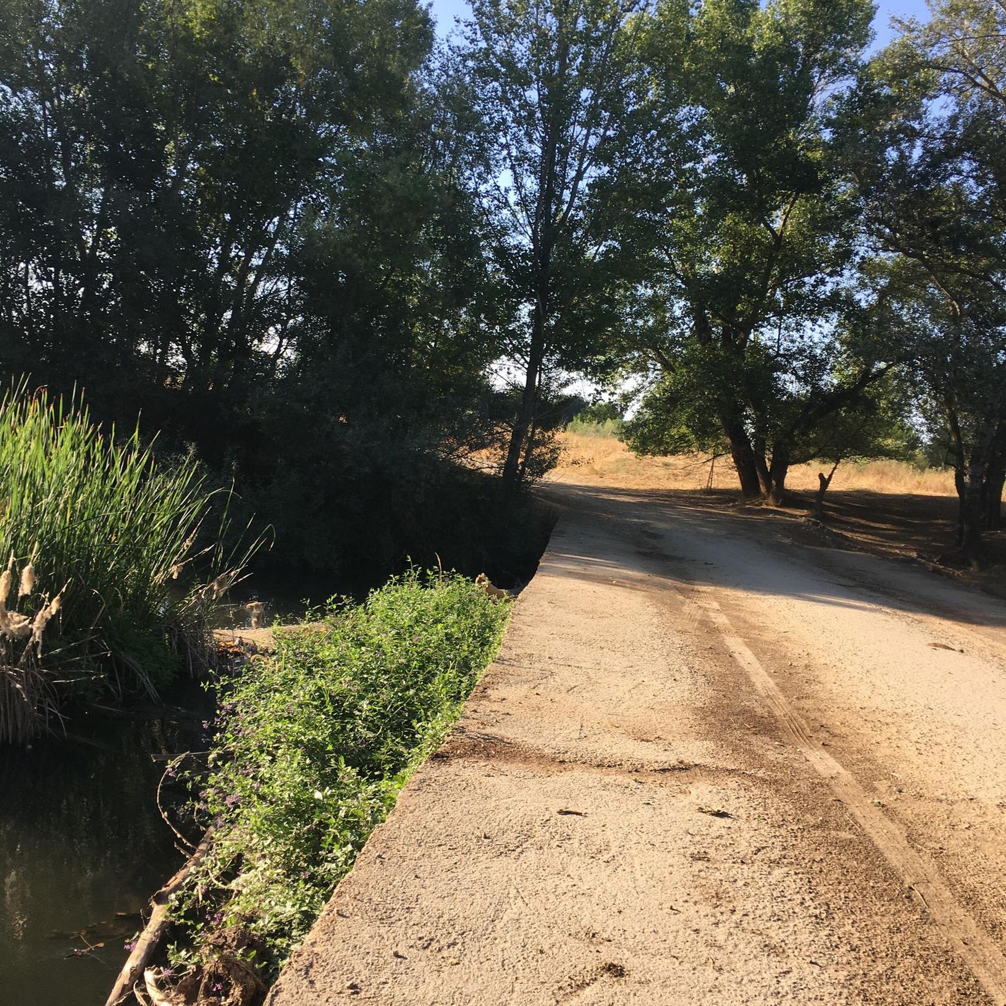
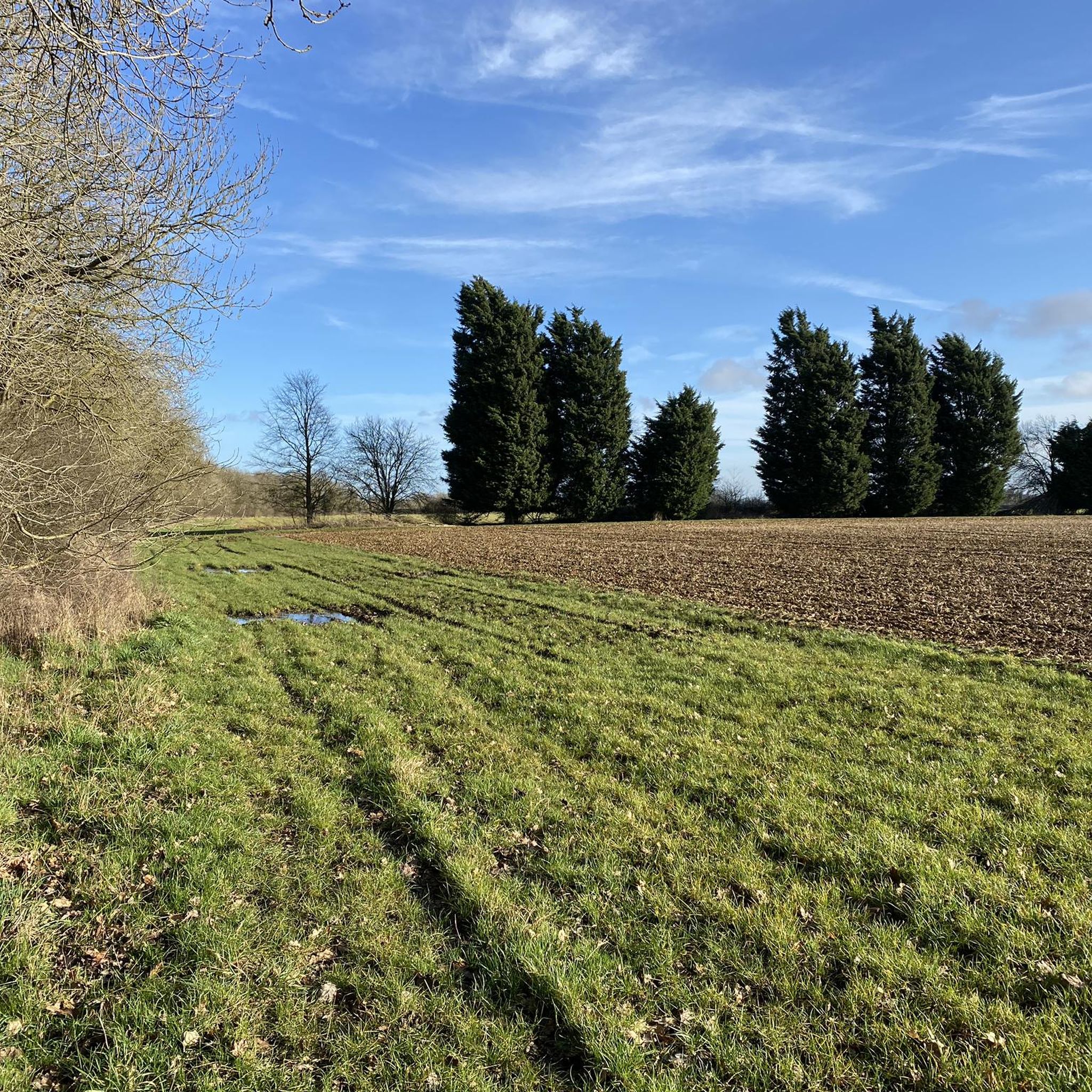
This trail has many sections similar to the photo, double track with wet, slightly muddy surfaces. Some sections, like in the photo are easy enough to ride through, without excessive mud accumulating on the bike. In dry weather and summer time it would probably be an enjoyable trail to ride on
0
0
There is a decent cycleway / path on the side of the main road into Sleaford from this southern entrance. I had to go back and forward on this path as further along there was another section of terribly bad muddy fields that would have stopped the bikes transmission and just clogged the bike up
0
0

Silk Willoughby is a village and civil parish in the North Kesteven district of Lincolnshire, England. The population of the civil parish at the 2011 census was 299. It is situated 2 miles south from Sleaford.
0
0
Frequently Asked Questions
How many running routes are available around North Rauceby?
There are over 160 jogging routes around North Rauceby, offering a wide variety of options for all fitness levels. The komoot community has explored more than 1400 of these routes, providing valuable insights and ratings.
What kind of terrain can I expect on jogging routes in North Rauceby?
Jogging routes in North Rauceby feature a diverse landscape. You'll find rolling countryside with historic ridge and furrow cultivation, wooded sections like High Wood, and accessible bridleways. Some routes also include wide verges along quiet lanes, offering potentially softer surfaces. The area provides a mix of natural and varied terrain.
Are there any easy jogging routes suitable for beginners in North Rauceby?
Yes, North Rauceby offers several easy jogging routes perfect for beginners or those looking for a relaxed run. There are 10 routes specifically categorized as easy, providing gentle terrain to enjoy the countryside.
What do other runners say about the trails in North Rauceby?
The trails in North Rauceby are highly rated by the komoot community, with an average score of 4.3 stars from over 10 reviews. Runners often praise the varied terrain, the picturesque countryside, and the well-maintained paths that make for an enjoyable outdoor experience.
Can I find circular running routes in North Rauceby?
Absolutely. Many of the running routes around North Rauceby are circular, allowing you to start and finish in the same location. For example, the Beech Plantation loop from Cranwell is a popular moderate circular route, and the Cliff Hill Plantation loop from Rauceby also offers scenic circular views.
Are there any running trails that pass through wooded areas?
Yes, you can definitely find routes that take you through wooded areas. High Wood is a notable feature, offering a 'pocket of wooded wilderness' with established paths. The Beech Plantation loop from Cranwell is a great example, providing a moderate run through local woodlands.
What interesting sights or landmarks can I see while jogging in North Rauceby?
While jogging, you can enjoy views of the historic Rauceby Hall Estate and its parkland. Routes often pass by High Wood, offering scenic vistas of the surrounding countryside. For specific landmarks, consider visiting Sleaford Church Steeple or the ancient Temple Bruer Preceptory Tower, both of which are nearby attractions.
Are the jogging paths in North Rauceby well-maintained?
Yes, many of the footpaths in the North Rauceby area, including those used for jogging, benefit from regular maintenance. Initiatives like the 'Stepping Out Walks' program ensure that paths are mowed, litter is picked up, and signage and stiles are repaired, contributing to a more enjoyable running experience.
Are dogs allowed on the running trails in North Rauceby?
Generally, dogs are welcome on public footpaths and bridleways in North Rauceby. However, it's always recommended to keep dogs under control, especially when passing through fields with livestock, and to clean up after them. Specific routes may have local restrictions, so always check local signage.
Where can I park when visiting North Rauceby for a run?
While specific parking details for every route are not provided, many trails around North Rauceby are accessible from village centers or designated public parking areas. For routes near High Wood, there may be parking options available, and local pubs or cafes might offer parking for patrons. It's advisable to check specific route details or local information for the most convenient parking spots.
Are there any places to eat or drink near the jogging routes?
Yes, there are options for refreshments. While jogging, you might pass by local pubs or cafes. For example, The Crafty Cafe is a nearby option where you can grab a bite or a drink after your run.
When is the best time of year to go running in North Rauceby?
North Rauceby offers enjoyable running conditions throughout the year, but each season has its charm. Spring brings wildflowers like violets to High Wood, while autumn showcases beautiful colors. Summer provides longer daylight hours, and winter runs can be crisp and invigorating. Always check weather conditions before heading out, as some paths might be muddy after rain.
Are there any longer running routes for more experienced runners?
Yes, for those seeking a longer challenge, North Rauceby has several routes. The Bridleway loop from RAF Cranwell is a substantial 9.0 miles (14.5 km) trail, leading through open fields and along established bridleways, perfect for a more extended run.
Most popular routes around North Rauceby
Most popular attractions around North Rauceby

Get inspired with the komoot mobile app


Explore more
Browse the best Running Trails & Routes in other regions.
