The best walks and hikes around Wurzbach
4.6
(11483)
40,164
hikers
120
hikes
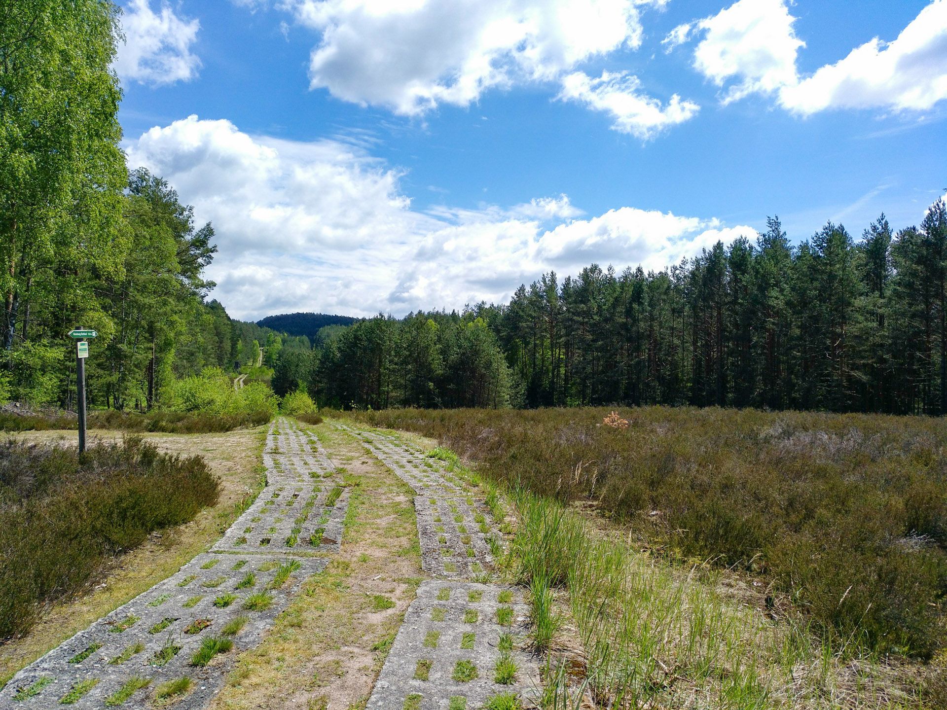
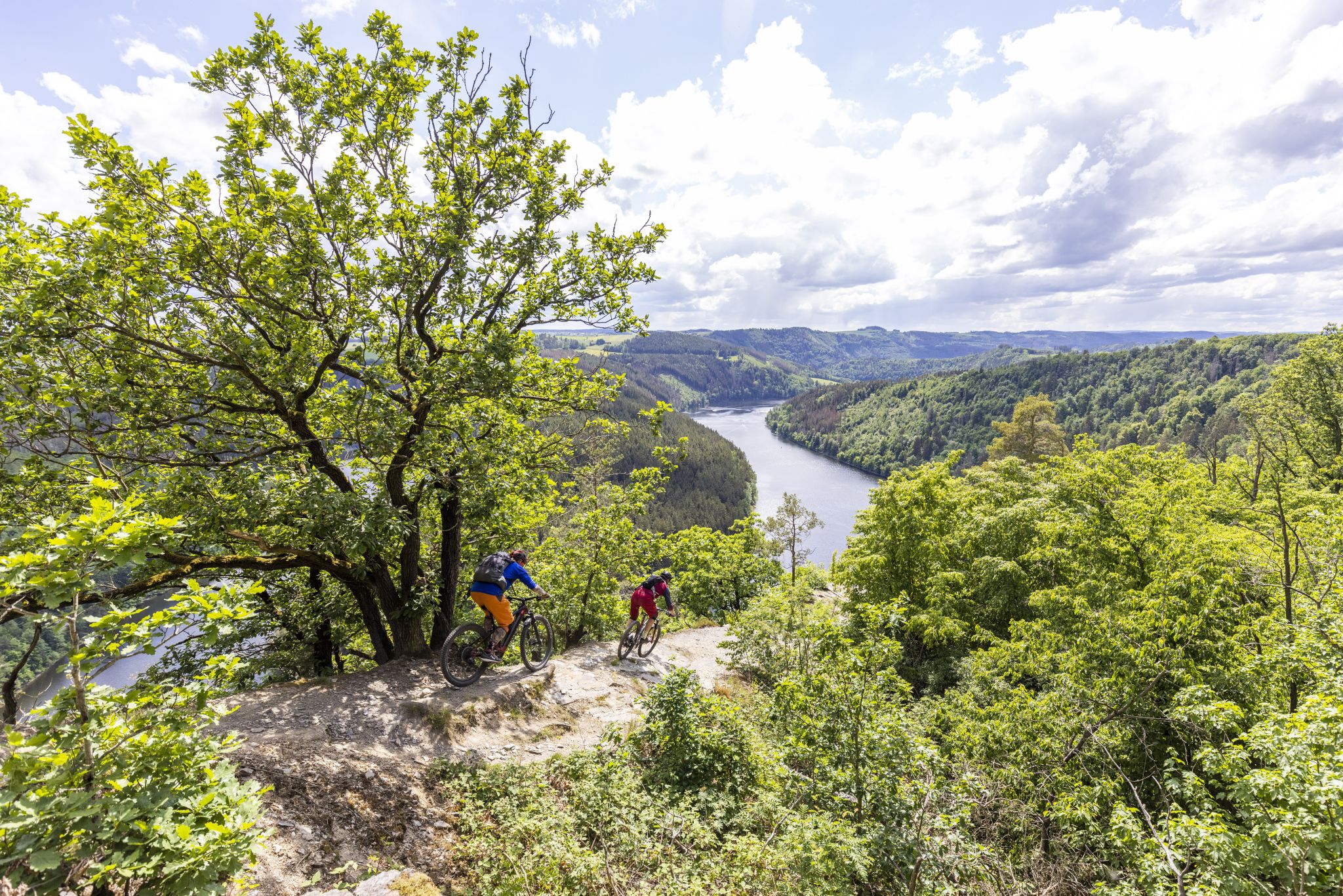
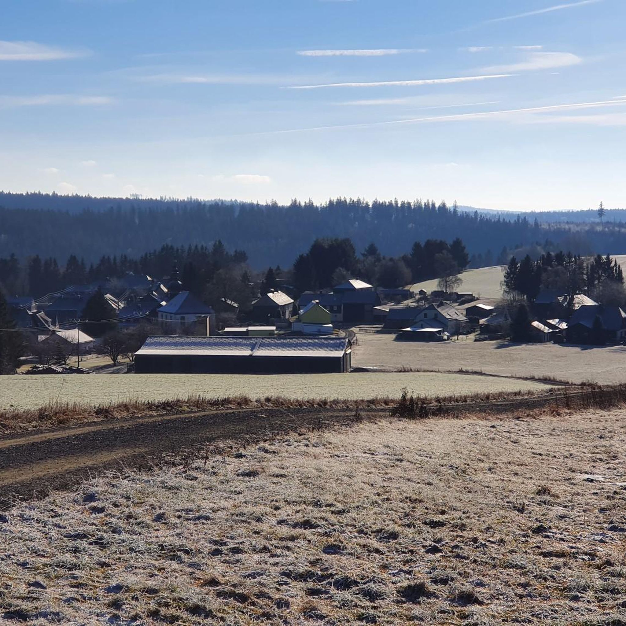
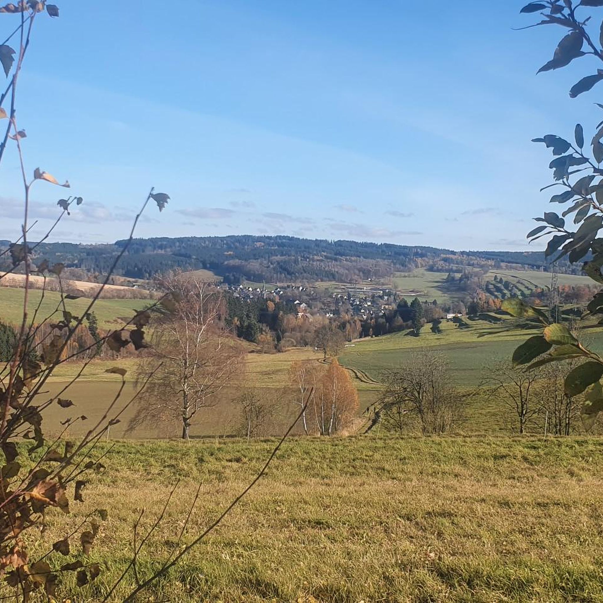
Hiking around Wurzbach offers diverse landscapes characterized by extensive trail systems, shady woodlands, and open fields. The region features a variety of native plants, including Oak, Juniper, and Mesquite trees, contributing to its natural beauty. Hikers can explore well-maintained paths that traverse varied terrain, from gentle slopes to more challenging ascents. These natural features provide a rich environment for outdoor activities within the area.
Best hiking trails around Wurzbach
- The most popular hiking route is Source of the Sormitz –…
Last updated: July 8, 2026
4.9
(17)
69
hikers
6.58km
01:49
120m
110m
Easy hike. Great for any fitness level. Easily-accessible paths. Suitable for all skill levels.
4.6
(23)
64
hikers
4.95km
01:20
70m
70m
Easy hike. Great for any fitness level. Easily-accessible paths. Suitable for all skill levels.

Sign up for free
4.8
(4)
26
hikers
20.0km
05:30
330m
330m
Hard hike. Very good fitness required. Easily-accessible paths. Suitable for all skill levels.
4.8
(8)
25
hikers
13.7km
03:47
230m
230m
Moderate hike. Good fitness required. Easily-accessible paths. Suitable for all skill levels.
5.0
(10)
30
hikers
7.37km
02:05
160m
160m
Moderate hike. Good fitness required. Easily-accessible paths. Suitable for all skill levels.
Get access to more routes and recommendations from other explorers.
Sign up for free
Already have an account?
Our route recommendations are based on thousands of hikes, rides, and runs completed by other people on komoot.
Start today with a free account
Your next adventure awaits.
Login or Signup
Popular around Wurzbach



Tips from the Community

The location of the church is historically extremely interesting. The nearby Rodach river formerly formed the border between the Protestant Margraviate of Bayreuth and the Catholic Prince-Bishopric of Bamberg. Nordhalben itself was traditionally Catholic. However, with the influx of industrial workers at the beginning of the 20th century, the number of Protestants in the region grew. As the journey to the nearest Protestant service in Geroldsgrün, six kilometers away, was arduous, a "Betsaalverein" (prayer hall association) was founded in 1908. After years in provisional rooms (such as a factory hall), a local couple finally donated the land for the church construction.
0
0

The first opportunity to cross the Sormitz on dry feet.
0
0
Something like this should not be forgotten.
0
0

A rock garden was created on the meadow
2
0
Evangelical Church of Nordhalben https://de.m.wikipedia.org/wiki/Jubilate-Kirche_(Grund)
2
2

This historic stone from the Middle Ages is located in the Valley of Love, right at the confluence of the Titschengrundbach and the Rodach. At that time, three lordships bordered here: the territory of the Bishop of Bamberg, that of the Margrave of Bayreuth and that of Count Reuss of Plauen. During the time of the division of Germany, it was a marker of the "Iron Curtain". Today, it only marks the border between Bavaria and Thuringia.
0
1

The palmate newt, the smallest of the newts, is widespread in our Franconian Forest and feels very comfortable in these ponds.
0
0

Frequently Asked Questions
How many hiking trails are there around Wurzbach?
Wurzbach offers a wide variety of hiking opportunities, with over 100 trails available. These routes cater to all skill levels, including 55 easy, 56 moderate, and 9 difficult trails, ensuring there's something for everyone.
What kind of landscapes can I expect to see while hiking in Wurzbach?
Hiking around Wurzbach provides diverse landscapes, characterized by shady woodlands, open fields, and extensive trail systems. You'll encounter native plants like Oak, Juniper, and Mesquite trees, contributing to the area's natural beauty. The region's trails traverse varied terrain, from gentle slopes to more challenging ascents.
Are there any easy or family-friendly hiking options in Wurzbach?
Yes, Wurzbach has numerous easy and family-friendly options. For a pleasant stroll, consider the Wurzbacher Markt – Archimedes' Screw loop from Wurzbach, an easy 3.2-mile path starting from Wurzbacher Markt. Another great choice is the Wurzbacher Markt – Zum Sormitztal Inn loop from Wurzbach, which is 4 miles long and also rated easy.
Are there any circular hiking routes in Wurzbach?
Many of the trails in Wurzbach are circular, offering convenient starting and ending points. For example, the easy Source of the Sormitz – Archimedes' Screw loop from Oßla is a 4.1-mile loop that explores the Sormitz river source. Another popular loop is the moderate Vogelberg trail junction – Wurzbacher Markt loop from Wurzbach (Thür), which covers 8.5 miles.
What do other hikers say about the trails in Wurzbach?
The hiking trails in Wurzbach are highly regarded by the komoot community, boasting an average rating of 4.7 stars from over 200 reviews. Hikers often praise the well-maintained paths, the diverse natural scenery, and the variety of routes suitable for different fitness levels.
Can I spot any wildlife while hiking in Wurzbach?
While the provided data doesn't specify wildlife for Wurzbach, regions with diverse natural landscapes like those described (shady woodlands, open fields, native flora) often support various local wildlife. Keep an eye out for birds and small mammals, especially in quieter areas.
Are there any interesting landmarks or attractions to see near the hiking trails?
Yes, there are several interesting landmarks and attractions. You can visit the Ziemestal Viaduct, or explore various viewpoints like Kämmleinsfelsen Viewpoint. For those interested in history or panoramic views, the Frankenwarte Observation Tower is also nearby.
Are there any places to rest or get refreshments along the trails?
Yes, you can find facilities and huts in the area. The Rest area at the Hubertus Spring with barefoot path offers a place to relax. For refreshments, consider visiting the 🍺 Ölschnitz Hut or the Kurfürstenstein Hut, which are popular spots for hikers.
What is the best time of year to go hiking in Wurzbach?
While specific seasonal data isn't provided, regions with woodlands and open fields are generally pleasant for hiking in spring, summer, and autumn. Spring brings blooming flora, summer offers lush greenery, and autumn showcases vibrant fall colors. Winter hiking can also be beautiful, but conditions may vary.
Are there any challenging hikes for experienced hikers in Wurzbach?
Absolutely. For experienced hikers seeking a challenge, the Black Pond – Titschendorf Mill Rest Area loop from Rodacherbrunn is a difficult 12.4-mile trail that typically takes around 5 hours and 30 minutes to complete, leading through varied and demanding terrain.
Is parking available near the trailheads in Wurzbach?
While specific parking locations are not detailed in the guide data, it's common for popular hiking areas like Wurzbach to have designated parking areas near trailheads or in nearby towns. We recommend checking individual route descriptions on komoot for specific parking information before your hike.
Most popular routes around Wurzbach
Most popular attractions around Wurzbach

Get inspired with the komoot mobile app


Explore more
Browse the best Hikes in other regions.
