The best walks and hikes around Wutöschingen
4.5
(533)
2,150
hikers
93
hikes
Hiking around Wutöschingen offers diverse terrain at the southeastern foothills of the Black Forest, situated within the central Wutach Valley. The region is characterized by forested hills, the Wutach River and its gorge, and varied elevations averaging 459 meters. This location provides access to the Southern Black Forest Nature Park and is a base for exploring nearby lakes like Schluchsee and Titisee.
Best hiking trails around Wutöschingen
- The most popular hiking route is View of Wutöschingen – View of the…
Last updated: October 29, 2026
4.7
(12)
46
hikers
4.58km
01:20
120m
130m
Easy hike. Easily walkable paths.
5.0
(7)
32
hikers
9.36km
02:33
140m
140m
Moderate hike. Good fitness required. Easily walkable paths.

4.8
(14)
21
hikers
12.0km
03:18
200m
200m
Moderate hike. Good fitness required. Easily walkable paths.
4.6
(9)
45
hikers
7.41km
01:53
20m
20m
Easy hike. Easily walkable paths.
4
hikers
Moderate hike. Good fitness required. Easily walkable paths.
Get access to more routes and recommendations from other explorers.
Already have an account?
Our route recommendations are based on thousands of hikes, rides, and runs completed by other people on komoot.
Start today with a free account
Your next adventure awaits.
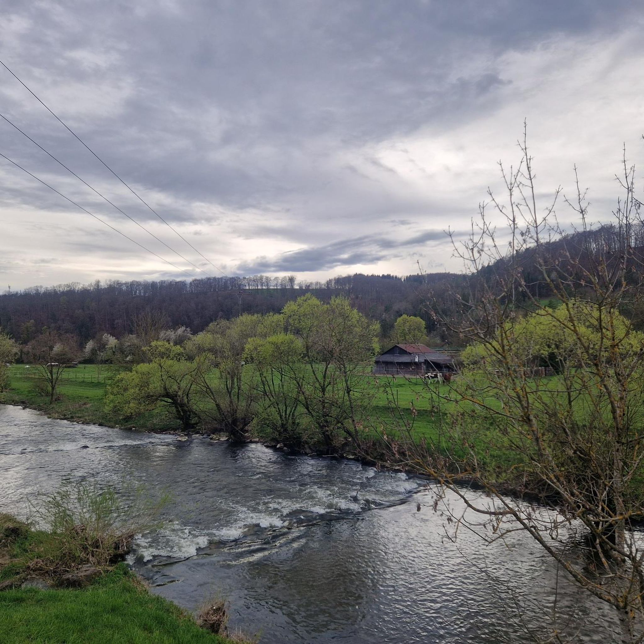
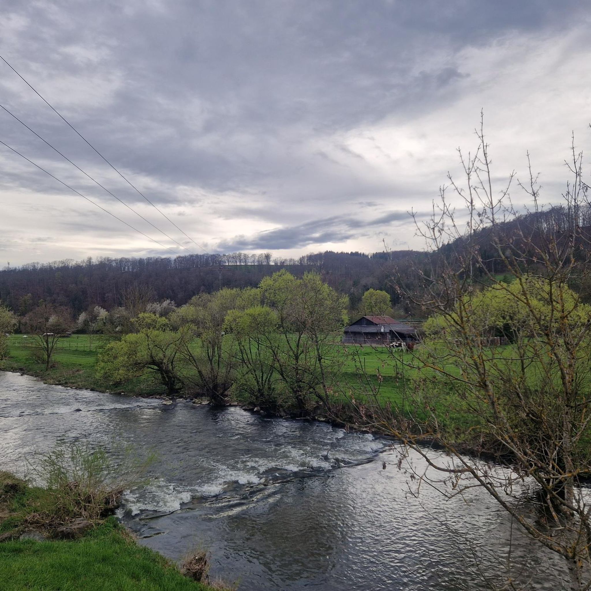
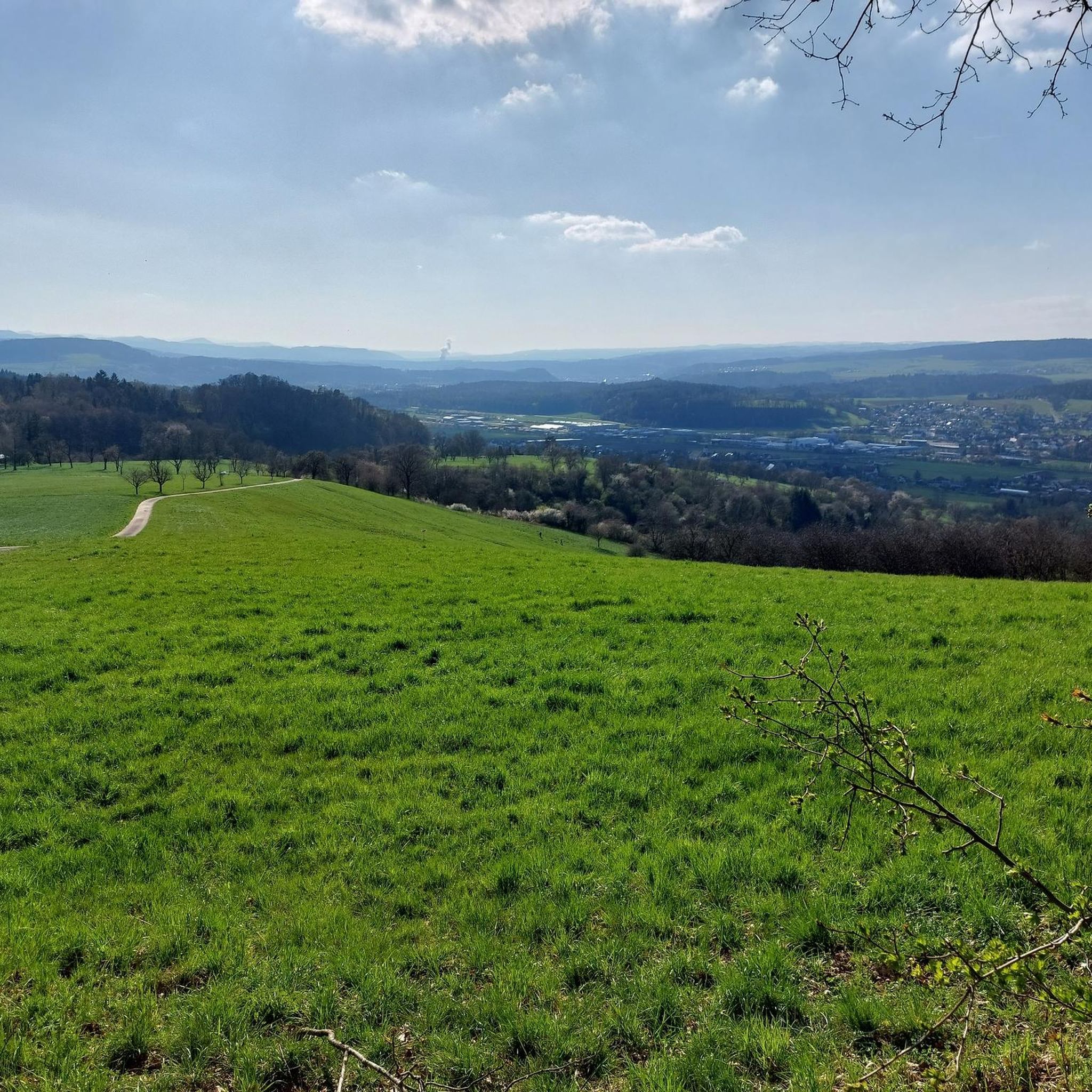
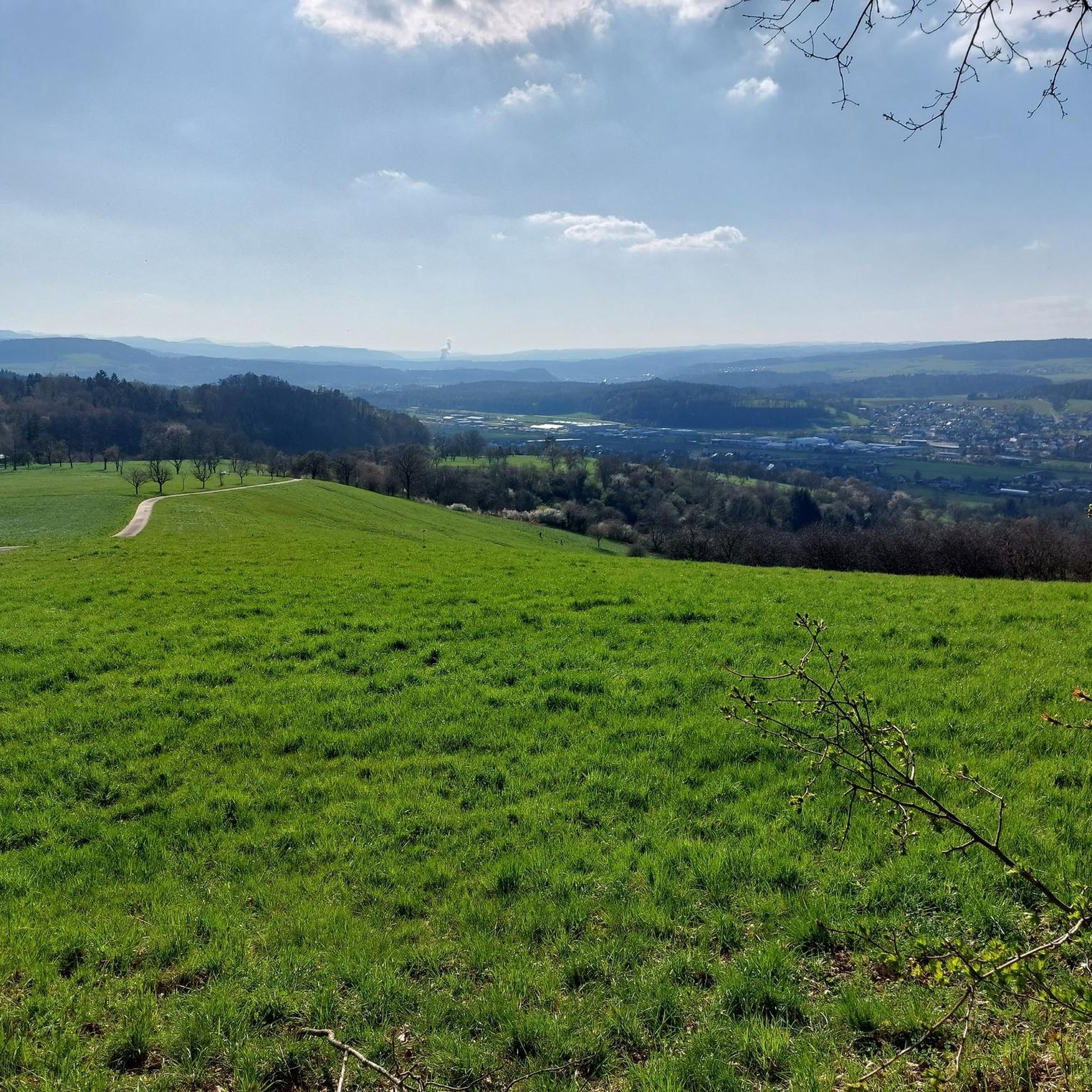
Tips from the Community

A steep ascent that is rewarded in the end. The pavilion offers seating and shade. You can enjoy a panoramic view.
0
0

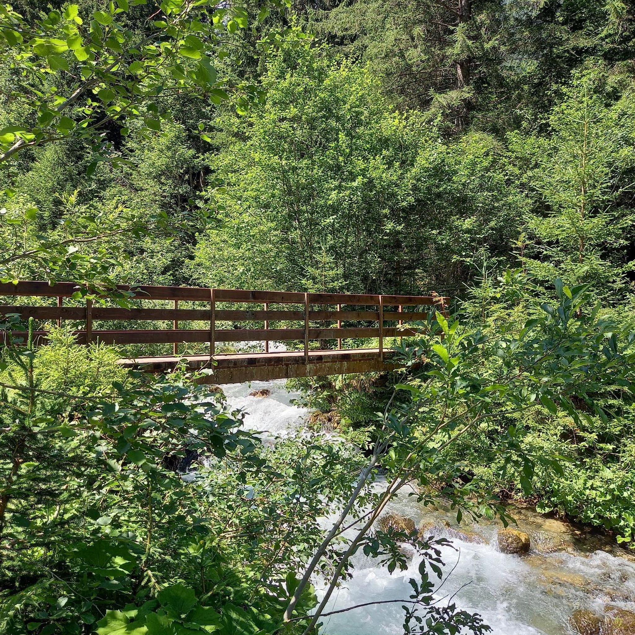
The old bridge is no longer there
0
0

always beautiful, on the banks of the Steina
0
0
the old railway bridge had to make way for the new bridge
1
0

It's always nice to walk or cycle along the Wutach.👍
0
1

Great bridge or viaduct
0
2
The small Semberg Chapel stands on a hill above the Wutöschingen district of Schwerzen. It was built in 2003. A walled-in loophole in the front part with the year 1626 is intended to remind us of the old castle chapel.
0
0
This footbridge for pedestrians and cyclists is located downstream from the old railway bridge near Lörrach. It is wide enough to cycle. Mutual respect and consideration is required, as there are also many pedestrians on the road.
1
0
Frequently Asked Questions
How many hiking trails are available around Wutöschingen?
There are over 95 hiking trails around Wutöschingen, offering a wide variety of options for different skill levels and preferences. These routes explore the diverse terrain of the Black Forest foothills and the Wutach Valley.
What kind of terrain can I expect on hikes in Wutöschingen?
The terrain around Wutöschingen is quite varied, characterized by forested hills, the Wutach River and its gorge, and diverse elevations averaging 459 meters. You'll find paths ranging from gentle riverbank strolls to more challenging ascents through the Black Forest foothills.
Are there any family-friendly hiking options in Wutöschingen?
Yes, Wutöschingen offers several easy trails suitable for families. For instance, the View of Wutöschingen – View of the Wutach Valley loop is an easy 4.6 km route that provides scenic views and is manageable for most families.
Can I find circular hiking routes in the area?
Many of the trails around Wutöschingen are designed as circular routes, allowing you to start and end at the same point. Examples include the View of Wutöschingen – View of the Wutach Valley loop and the Steina River – Lederhosentobel loop.
What natural features or landmarks can I see while hiking?
Wutöschingen is rich in natural beauty and historical sites. You can explore the Wutach River and its gorge, discover a beautiful waterfall near the Lauffenmühle in Lauchringen, or visit ancient sites like the Dolmen of Degernau and a 2-meter-high Menhir. The region also offers access to the Southern Black Forest Nature Park and is a good base for day trips to nearby lakes like Schluchsee and Titisee.
Are there any caves or viewpoints accessible from hiking trails?
Yes, the region features several interesting caves and viewpoints. You can find highlights like Flühhalde — Neolithic Cave and Picnic Area and Kesslerloch Cave. For panoramic views, consider visiting Siblingerhöhe or the Bühl Hill Cross and Viewpoint near Birkendorf.
What do other hikers enjoy most about hiking in Wutöschingen?
The hiking routes in Wutöschingen are highly rated by the komoot community, with an average score of 4.5 stars from over 400 reviews. Hikers often praise the diverse landscapes, the scenic beauty of the Wutach Valley, and the well-maintained trails that cater to various skill levels.
Are there any longer or more challenging hikes available?
While many routes are easy to moderate, you can find longer options. For example, the Steina River – Lederhosentobel loop is a moderate 12 km trail. For a substantial challenge, parts of the long-distance Via Rhenana (Regional Hiking Route 60) are accessible from the region, offering significant ascents and descents over 72.7 km.
Is public transport available to reach trailheads in Wutöschingen?
Wutöschingen is situated within the Southern Black Forest Nature Park, and while specific public transport details for individual trailheads vary, the region generally has connections. It's advisable to check local bus schedules for routes connecting to Wutöschingen and nearby villages to access various starting points.
What is the best time of year to go hiking in Wutöschingen?
The region is appealing for outdoor activities throughout much of the year. The spring and autumn months offer pleasant temperatures and beautiful scenery, while summer is ideal for combining hikes with visits to nearby lakes like Schluchsee and Titisee. Winter hiking is also possible, though conditions may vary.
Are there any historical sites or castles to explore near the trails?
Yes, the area around Wutöschingen is dotted with historical sites. You can visit Tiengen Castle, a 16th-century building now housing a local history museum. Additionally, historical religious sites like the Baroque church of St. John the Baptist and the Antoniuskapelle, as well as medieval castles like Schloss Ofteringen (now Kloster Marienburg), can be integrated into your hiking tours.
Are dogs allowed on the hiking trails in Wutöschingen?
Generally, dogs are welcome on hiking trails in the Wutöschingen region, especially within the Southern Black Forest Nature Park. However, it's always recommended to keep dogs on a leash, particularly in nature reserves, near livestock, or in areas with wildlife, and to follow local signage regarding pet regulations.
Most popular routes around Wutöschingen
Most popular attractions around Wutöschingen

Get inspired with the komoot mobile app


Explore more
Browse the best Hikes in other regions.
