The best MTB trails around Zäziwil
4.5
(727)
3,696
riders
296
rides
Mountain biking around Zäziwil offers a diverse landscape of rolling Emmental hills, deep forests, and lush meadows. The region provides varied terrain with both challenging ascents and fast descents, catering to different skill levels. Riders can expect panoramic views of the Bernese Oberland and Emmental valleys from various points along the routes. This area is characterized by its blend of open ridges, alpine meadows, and wooded sections, ensuring constantly changing scenery.
Best mountain bike trails around Zäziwil
- The most popular…
Last updated: June 28, 2026
4.6
(14)
55
riders
35.7km
03:04
660m
660m
Moderate mountain bike ride. Good fitness required. Advanced riding skills necessary.
4.7
(18)
29
riders
17.2km
01:33
390m
390m
Moderate mountain bike ride. Good fitness required. Suitable for all skill levels.

Sign up for free
4.5
(4)
22
riders
19.1km
01:50
490m
490m
Moderate mountain bike ride. Good fitness required. Suitable for all skill levels.
4.0
(2)
16
riders
26.7km
02:19
670m
670m
Moderate mountain bike ride. Good fitness required. Suitable for all skill levels.
13
riders
Moderate mountain bike ride. Good fitness required. Advanced riding skills necessary.
Get access to more routes and recommendations from other explorers.
Sign up for free
Already have an account?
Our route recommendations are based on thousands of hikes, rides, and runs completed by other people on komoot.
Start today with a free account
Your next adventure awaits.
Login or Signup
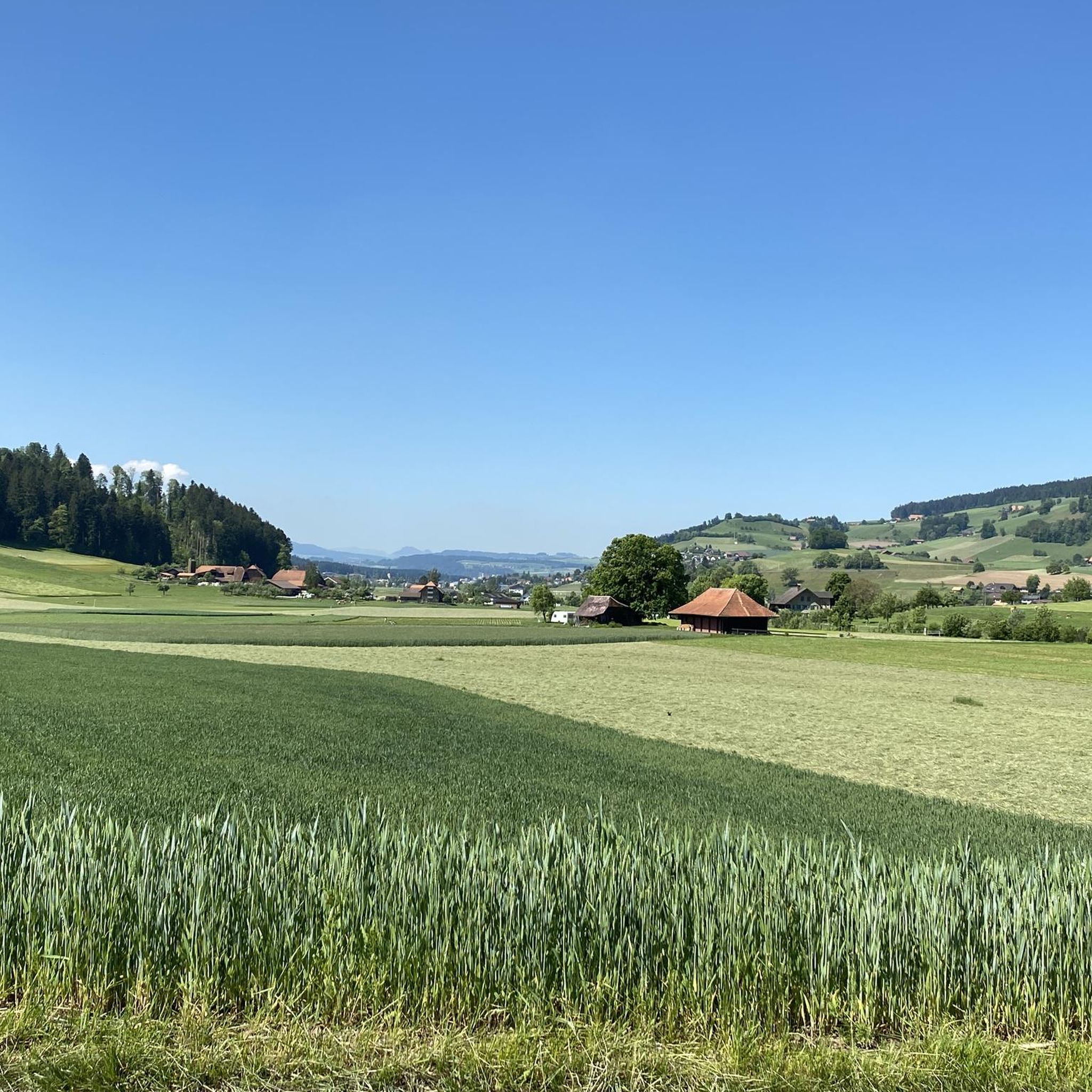
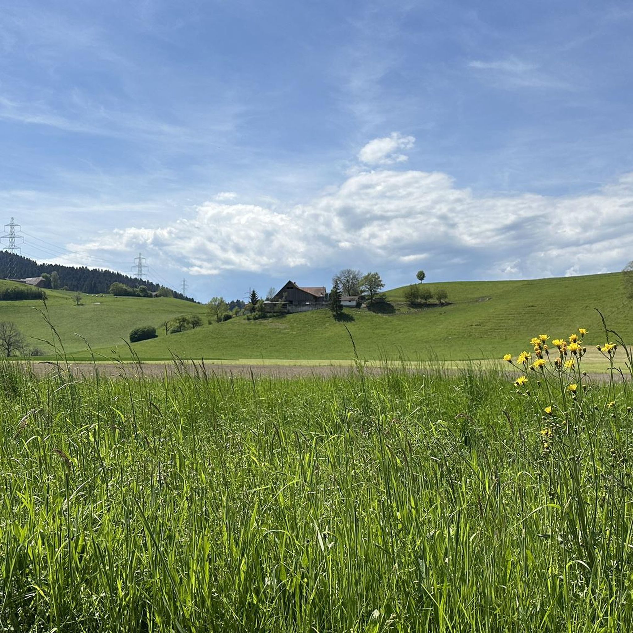
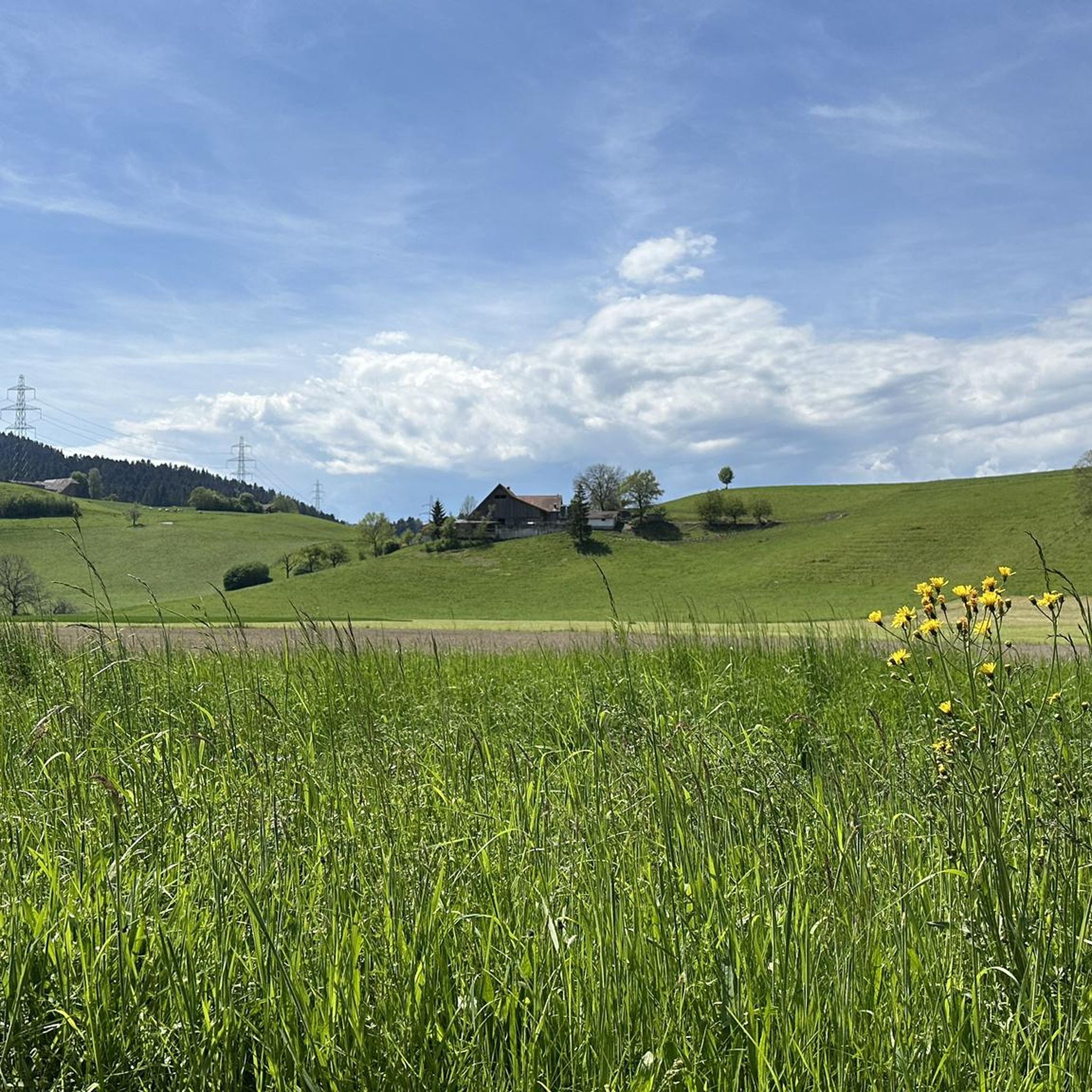
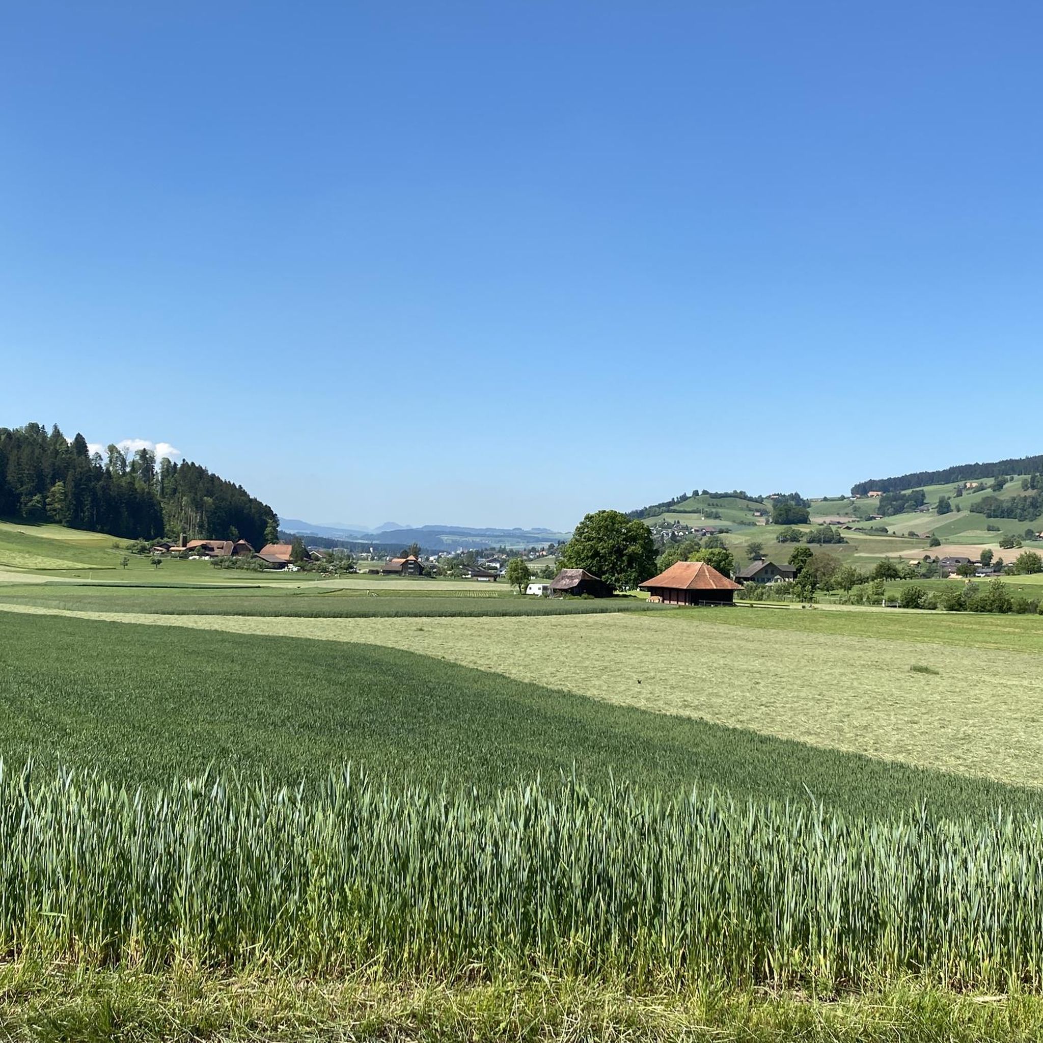

Tips from the Community


Water intake of Münsingen and highest point of the hill
0
0

Beautiful place, with beautiful views! Afterwards, there are also some easy, challenging trails.
0
1


Quite steep, without support you have to push.
0
0

A beautiful approach (from Linden) and a magnificent view.
0
0
Fridge with drinks and dried sausage, next to it hot water for coffee. Cash payment in a small cash box.
0
0
Frequently Asked Questions
How many mountain bike trails are there around Zäziwil?
There are over 290 mountain bike trails available around Zäziwil, offering a wide range of options for different skill levels and preferences.
What is the best time of year for mountain biking in Zäziwil?
The Emmental region around Zäziwil is generally suitable for mountain biking from spring through autumn. The rolling hills, forests, and meadows offer beautiful scenery, though conditions can vary with weather. Winter riding might be possible on some trails, but riders should be prepared for colder temperatures and potentially snowy or icy conditions, especially at higher elevations.
Are there mountain bike trails suitable for beginners or families in Zäziwil?
Yes, Zäziwil offers a selection of easier mountain bike routes. Out of nearly 300 trails, 24 are classified as easy, making them suitable for beginners or families looking for a less strenuous ride. These trails typically feature gentler gradients and less technical terrain.
Can I find circular mountain bike routes in the Zäziwil area?
Yes, many of the mountain bike trails around Zäziwil are designed as circular routes, allowing you to start and end at the same point. For example, the Emme Riverbank Trail – View of Emmental loop from Zäziwil is a popular option that offers expansive views of the Emmental region.
What kind of views can I expect on the mountain bike trails around Zäziwil?
Riders can expect magnificent panoramic views of the Bernese Oberland and Emmental valleys. Many routes offer clear vistas of the Bernese Alps, the Aare Valley, and Lake Thun. Notable viewpoints include the ridge trail from Falkenfluh to Aeschlenalp and the Ballenbühl viewpoint, which is considered one of the most beautiful near Bern.
Are dogs allowed on the mountain bike trails in Zäziwil?
While specific dog policies can vary by trail and local regulations, generally, dogs are welcome on many trails in the Emmental region, provided they are kept under control, especially around livestock or wildlife. Always ensure your dog is well-behaved and that you clean up after them. It's advisable to check local signage or specific route details for any restrictions.
Are there any interesting landmarks or attractions to see along the mountain bike routes?
Yes, the region offers several points of interest. You might encounter the Chuderhüsi Tower, which provides extensive views, or the Ridge trail from Falkenfluh to Aeschlenalp with its continuous vistas. Other highlights include the Schützenfahr Bridge over the Aare and the Regional Museum Chüechlihus.
What do other mountain bikers say about the trails in Zäziwil?
The mountain bike routes in Zäziwil are highly rated by the komoot community, with an average score of 4.5 stars from over 650 reviews. Riders often praise the diverse landscape, the blend of challenging ascents and fast descents, and the constantly changing scenery that includes open ridges, alpine meadows, and wooded sections.
Are there any routes with significant elevation gain for a challenging ride?
Yes, Zäziwil's terrain, characterized by the rolling Emmental hills, offers routes with substantial elevation gain. For instance, the View of the Alps from Worbberg – Richigengraben Trail loop from Grosshöchstetten involves over 735 meters of ascent, providing a demanding workout and rewarding views.
Can I access the mountain bike trails using public transport?
Zäziwil is a well-connected town, and many trailheads are accessible via public transport. For example, some routes, like those in the Kiesental area, can be reached from the Zäziwil train station, making it convenient for riders without a car. It's always a good idea to check specific route starting points for the nearest public transport links.
Are there places to eat or rest along the mountain bike trails?
Yes, you can find options for refreshment and rest. The Restaurant Chuderhüsi and the Moosegg Restaurant are examples of places where you might stop for a meal or a break. Additionally, viewpoints like Ballenbühl often feature benches and even campfire sites, perfect for a picnic.
What is the typical duration for mountain bike tours in Zäziwil?
The duration of mountain bike tours in Zäziwil varies significantly depending on the route's length and difficulty. Many moderate trails, such as the Blasenhorn – View of the Bernese Alps loop from Grosshöchstetten (17.1 km), can take around 1.5 to 2 hours. Longer routes, like the Emme Riverbank Trail – View of Emmental loop from Zäziwil (35.6 km), might take over 3 hours to complete.
Most popular attractions around Zäziwil

Get inspired with the komoot mobile app


Explore more
Browse the best MTB trails in other regions.
