The best walks and hikes around Zellertal
4.6
(680)
3,019
hikers
29
hikes
Hiking around Zellertal offers a diverse landscape characterized by rolling hills, vineyards, and forested areas within the Palatinate region. The terrain includes gentle ascents and descents, providing varied experiences for hikers. Trails often lead through agricultural lands and offer views of the surrounding countryside. The region's geology contributes to its distinct natural beauty, making it suitable for outdoor exploration.
Best hiking trails around Zellertal
- The most popular hiking route is Weinrast Mölsheim Viewpoint – View of Mölsheim loop from Zellertal…
Last updated: June 30, 2026
4.8
(30)
101
hikers
19.6km
05:12
200m
200m
Hard hike. Very good fitness required. Easily-accessible paths. Suitable for all skill levels.
4.9
(7)
34
hikers
16.9km
04:33
200m
200m
Moderate hike. Good fitness required. Easily-accessible paths. Suitable for all skill levels.

Sign up for free
5.0
(3)
20
hikers
6.43km
01:48
130m
120m
Easy hike. Great for any fitness level. Easily-accessible paths. Suitable for all skill levels.
4.4
(5)
19
hikers
5.85km
01:39
110m
110m
Easy hike. Great for any fitness level. Easily-accessible paths. Suitable for all skill levels.
4.7
(3)
22
hikers
5.10km
01:24
80m
80m
Easy hike. Great for any fitness level. Easily-accessible paths. Suitable for all skill levels.
Get access to more routes and recommendations from other explorers.
Sign up for free
Already have an account?
Our route recommendations are based on thousands of hikes, rides, and runs completed by other people on komoot.
Start today with a free account
Your next adventure awaits.
Login or Signup

Tips from the Community

narrow idyllic path along the Pfrimm
0
0
Unfortunately, during our visit, it was a bit unkempt and completely in the sun
0
0

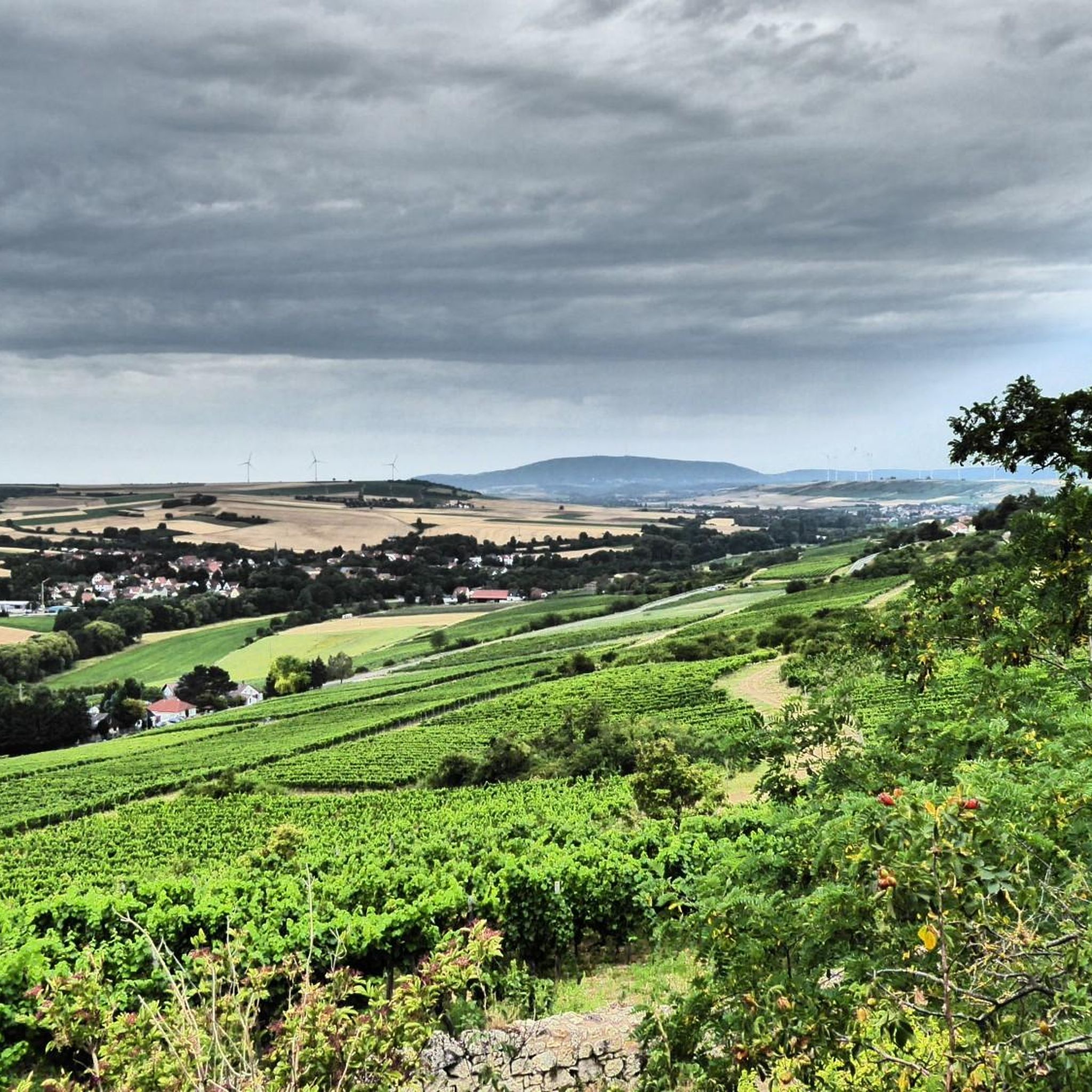
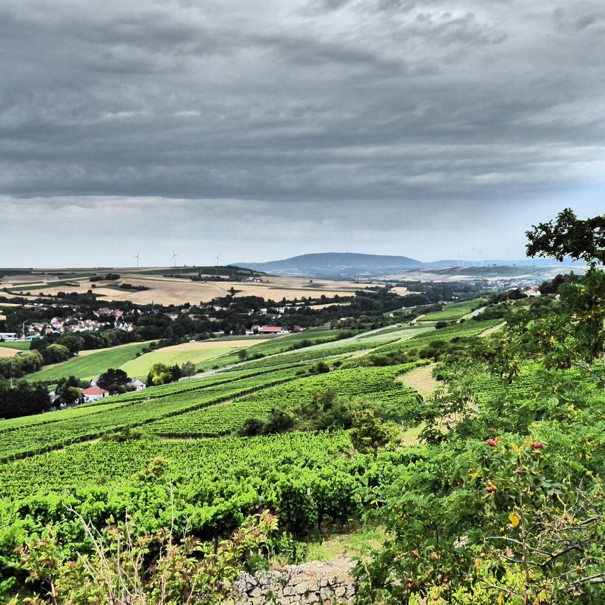
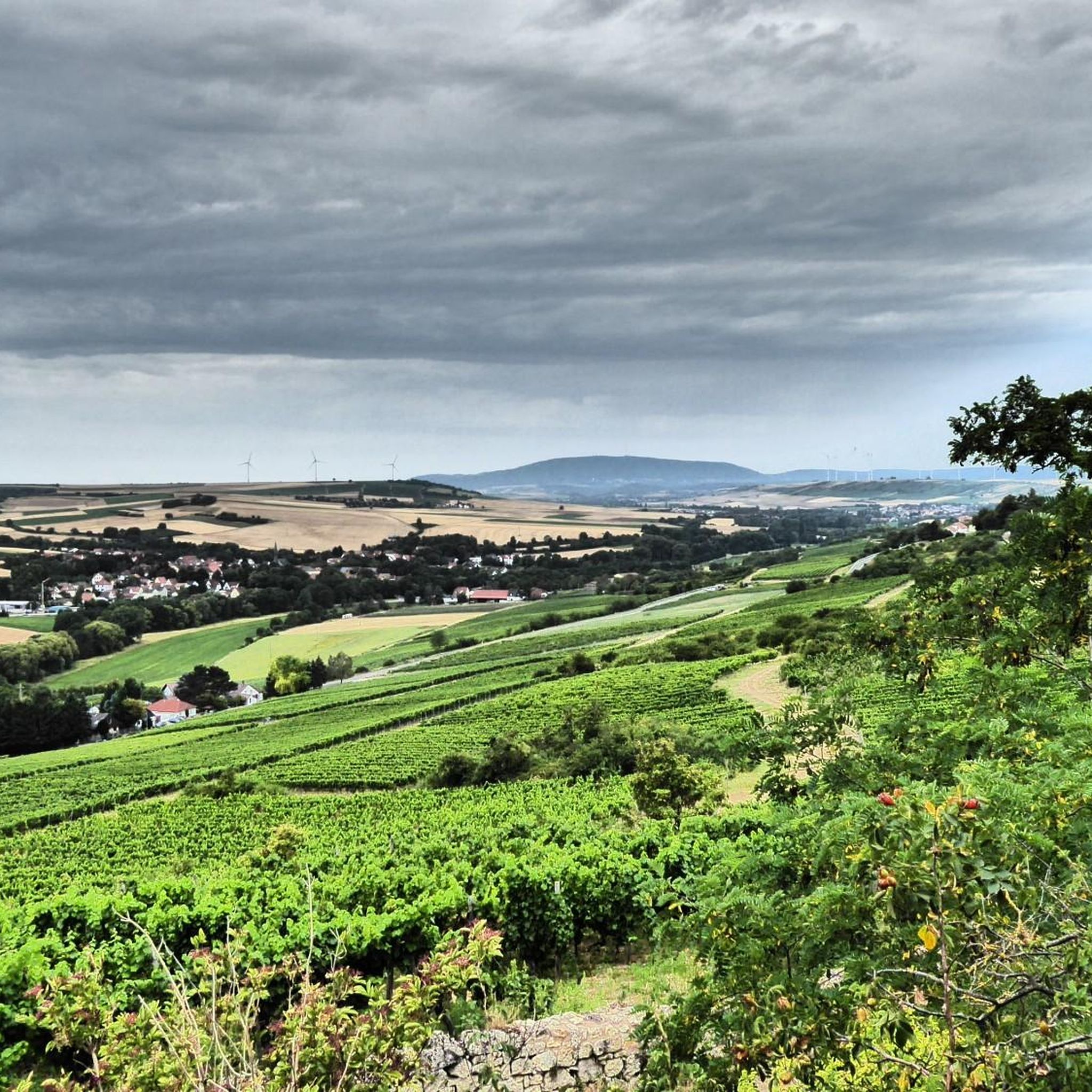
Beautiful views of the Zellertal valley everywhere
0
0
Beautiful views of the Zellertal valley, up to the south side of the Donnersberg
0
0
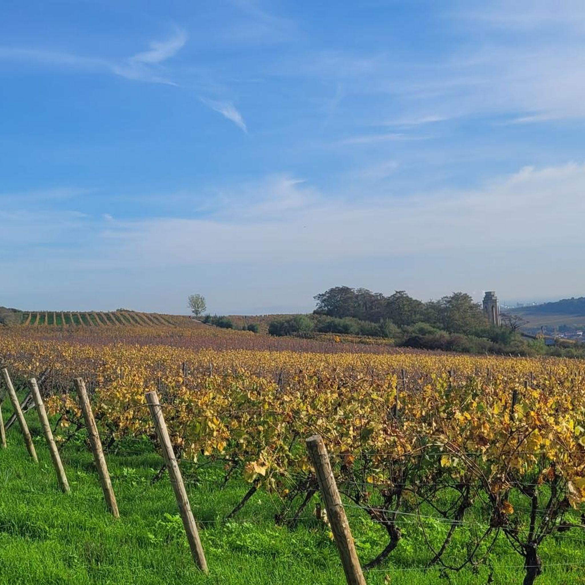
The memorial was erected in 1926 as a columned hall on 6 pillars – one for each of the Zellertal communities (Einselthum, Harxheim, Niefernheim, Zell, Mölsheim and Wachenheim).
0
0

A very idyllic path along the Pfrimm: The southern part of the "Bird Trail" with numerous information boards also runs here.
1
0
Unfortunately, the "Zellertalweg" only runs above the Zellertal memorial (and NOT directly there). From this point you have a limited view of it. A descent is only recommended in exceptional cases (steep, slippery, lots of bushes, no real path)! Unfortunately, the rest area here offers NO view (bushes!) of the memorial!
1
0
Frequently Asked Questions
How many hiking trails are available in Zellertal?
Zellertal offers a wide variety of hiking experiences with over 25 routes to explore. These range from leisurely strolls through vineyards to more challenging ascents, catering to all fitness levels.
Are there easy hiking trails suitable for beginners or families in Zellertal?
Yes, Zellertal has many easy trails perfect for beginners or families. There are 14 easy routes available. A great option is the Einselthum Recreation Area – Estate park of the municipality of Zell loop from Zellertal, which is 4.4 miles (7.1 km) long and takes about 2 hours to complete, leading through pleasant parkland.
What is the typical duration of hikes in Zellertal?
Hikes in Zellertal vary greatly in length and duration. You can find shorter walks like the Jakobs Pilgrims' Trail in Harxheim loop from Zellertal, which is about 3.2 miles (5.1 km) and takes around 1 hour 25 minutes. Longer, more challenging routes, such as the Weinrast Mölsheim Viewpoint – View of Mölsheim loop from Zellertal, can take over 5 hours to complete.
Where can I find more challenging hikes in Zellertal?
For those seeking a challenge, Zellertal offers 4 difficult routes. The Weinrast Mölsheim Viewpoint – View of Mölsheim loop from Zellertal is a challenging 12.2 miles (19.6 km) trail that provides expansive views over Mölsheim and the Zellertal region, typically requiring over 5 hours.
Are there any circular hiking routes in Zellertal?
Many of the trails in Zellertal are designed as circular routes, allowing you to start and end at the same point. Examples include the Zellertal Memorial – Weinrast Mölsheim Viewpoint loop from Harxheim-Zell, which combines historical points with scenic viewpoints, and the Hiking loop from Harxheim-Zell.
When is the best time of year to go hiking in Zellertal?
Zellertal is beautiful year-round, but the best times for hiking are typically spring (April-May) when the vineyards begin to green and wildflowers bloom, and autumn (September-October) for the vibrant fall foliage and grape harvest season. Summer offers warm weather, while winter can provide peaceful, crisp walks, especially on lower-elevation paths.
What do other hikers enjoy most about hiking in Zellertal?
The komoot community highly rates hiking in Zellertal, with an average score of 4.6 stars from over 600 reviews. Hikers often praise the diverse landscape, which includes rolling hills, picturesque vineyards, and tranquil forested areas, as well as the well-maintained paths and scenic viewpoints.
Are there any interesting landmarks or attractions to see along the trails?
Yes, Zellertal is rich in history and natural beauty. You can explore fascinating sites such as the Ritterstein No. 293: Hohfels Prehistoric Dwelling Cave or the Karst Cave Natural Monument. For historical architecture, consider visiting Neuleiningen Castle or the charming Neuleiningen Historic Village.
Can I bring my dog on the hiking trails in Zellertal?
Generally, dogs are welcome on most hiking trails in Zellertal. However, it's always recommended to keep your dog on a leash, especially when passing through vineyards, agricultural areas, or nature reserves, and to be mindful of local regulations and other hikers.
Are there opportunities for pub stops or refreshments along the hiking routes?
Given Zellertal's location in the Palatinate wine region, many trails pass through or near charming villages and vineyards where you can often find traditional 'Straußwirtschaften' (seasonal wine taverns) or local restaurants to enjoy regional food and wine. It's a good idea to check opening times in advance.
Is public transport available to access hiking trailheads in Zellertal?
While specific public transport details for every trailhead are not provided, the Zellertal region is generally accessible by local bus services connecting its various villages. For detailed schedules and connections, it's best to consult local transport providers for routes to your desired starting point.
What kind of terrain can I expect on the hiking trails in Zellertal?
The terrain in Zellertal is characterized by rolling hills, extensive vineyards, and forested sections. You'll encounter a mix of paved paths, gravel tracks, and natural forest trails. The region's geology contributes to its distinct natural beauty, offering varied surfaces and elevation changes.
Most popular routes around Zellertal
Most popular attractions around Zellertal

Get inspired with the komoot mobile app


Explore more
Browse the best Hikes in other regions.
