The best running trails around Elmley Lovett
4.6
(39)
4,172
runners
385
runs
Jogging around Elmley Lovett offers a variety of routes through the Worcestershire countryside. The region features a mix of open fields, riverside paths along the River Severn, and sections that follow old railway lines and canals. Runners can expect gently undulating terrain with occasional views of distant hills, providing diverse options for outdoor activity.
Best jogging routes around Elmley Lovett
- The most popular jogging route is Stourport Canal Tunnel – Leapgate Old Railway Line loop from Hartlebury, a 14.8…
Last updated: July 6, 2026
20
runners
23.8km
02:30
150m
150m
Hard run. Very good fitness required. Mostly paved surfaces. Suitable for all skill levels.
9
runners
10.7km
01:08
120m
120m
Moderate run. Good fitness required. Mostly paved surfaces. Suitable for all skill levels.

Sign up for free
5.0
(1)
8
runners
Moderate run. Good fitness required. Mostly paved surfaces. Suitable for all skill levels.
8
runners
5.12km
00:32
50m
50m
Moderate run. Good fitness required. Mostly paved surfaces. Suitable for all skill levels.
6
runners
12.0km
01:15
110m
110m
Moderate run. Good fitness required. Mostly paved surfaces. Suitable for all skill levels.
Get access to more routes and recommendations from other explorers.
Sign up for free
Already have an account?
Our route recommendations are based on thousands of hikes, rides, and runs completed by other people on komoot.
Start today with a free account
Your next adventure awaits.
Login or Signup

Tips from the Community


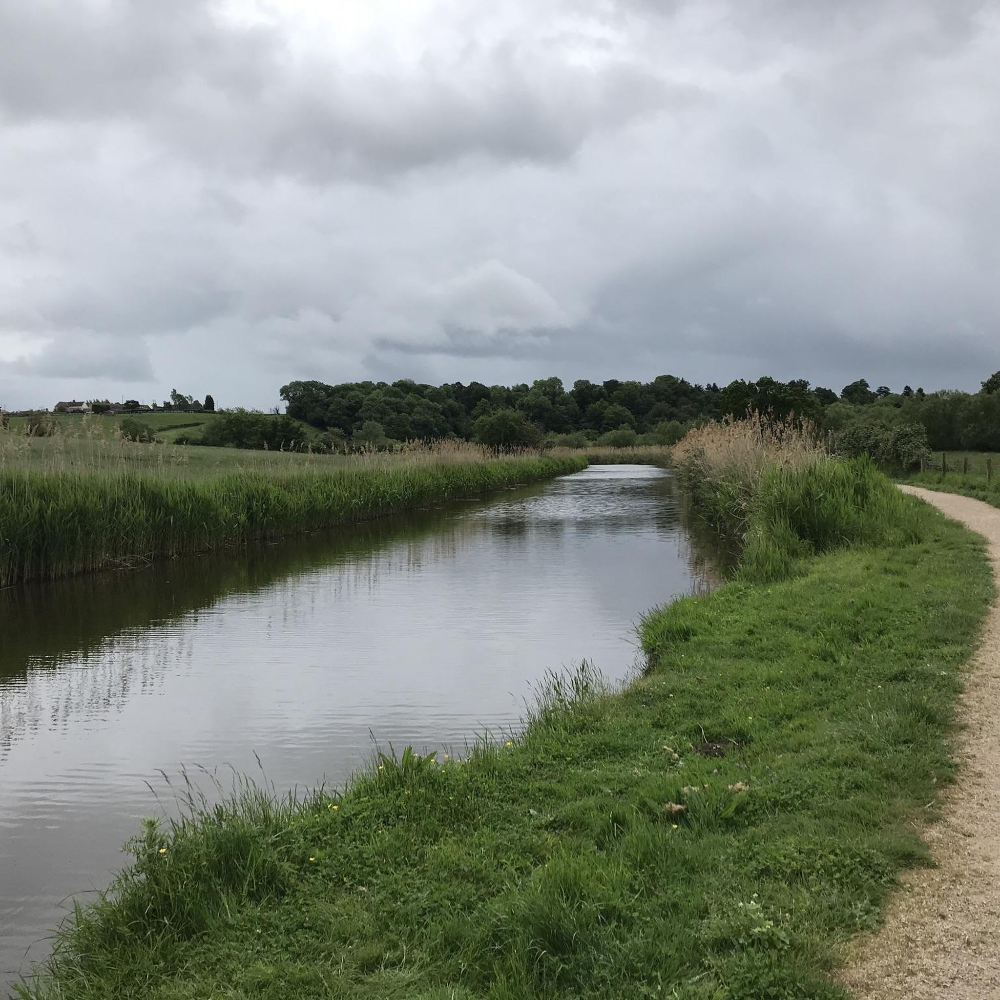
Hartlebury Common is an area of lowland heath in north Worcestershire, England, situated just outside the town of Stourport-on-Severn. Hartlebury Common and Hillditch Coppice are a biological and geological Site of Special Scientific Interest which covers an area of 90.2 hectares (229 acres). The common supports many varieties of wild plants and insects, especially butterflies and moths. Hartlebury Common and Hillditch Pool are a Local Nature Reserve. The name Hartlebury is derived from the Anglo-Saxon Heoertlabyrig meaning "Hill of the Deer". Hartlebury Common lies on Quaternary wind-blown sand which covers two river terraces of the River Severn overlying Bunter and Keuper Sandstone. It is situated within the Abberley and Malvern Hills Geopark which was launched in 2004. Falling within the counties of Herefordshire, Gloucestershire, Shropshire and Worcestershire the Geopark covers 3,240 km2 (1,250 square miles). The geological and geomorphological significance of the area has been recognised for many years with 13 Sites of Special Scientific Interest (SSSI) and 179 Local Geological Sites (LGS) present. The Abberley and Malvern Hills Geopark is one of only seven geoparks in the UK. Source: Wikipedia
0
0
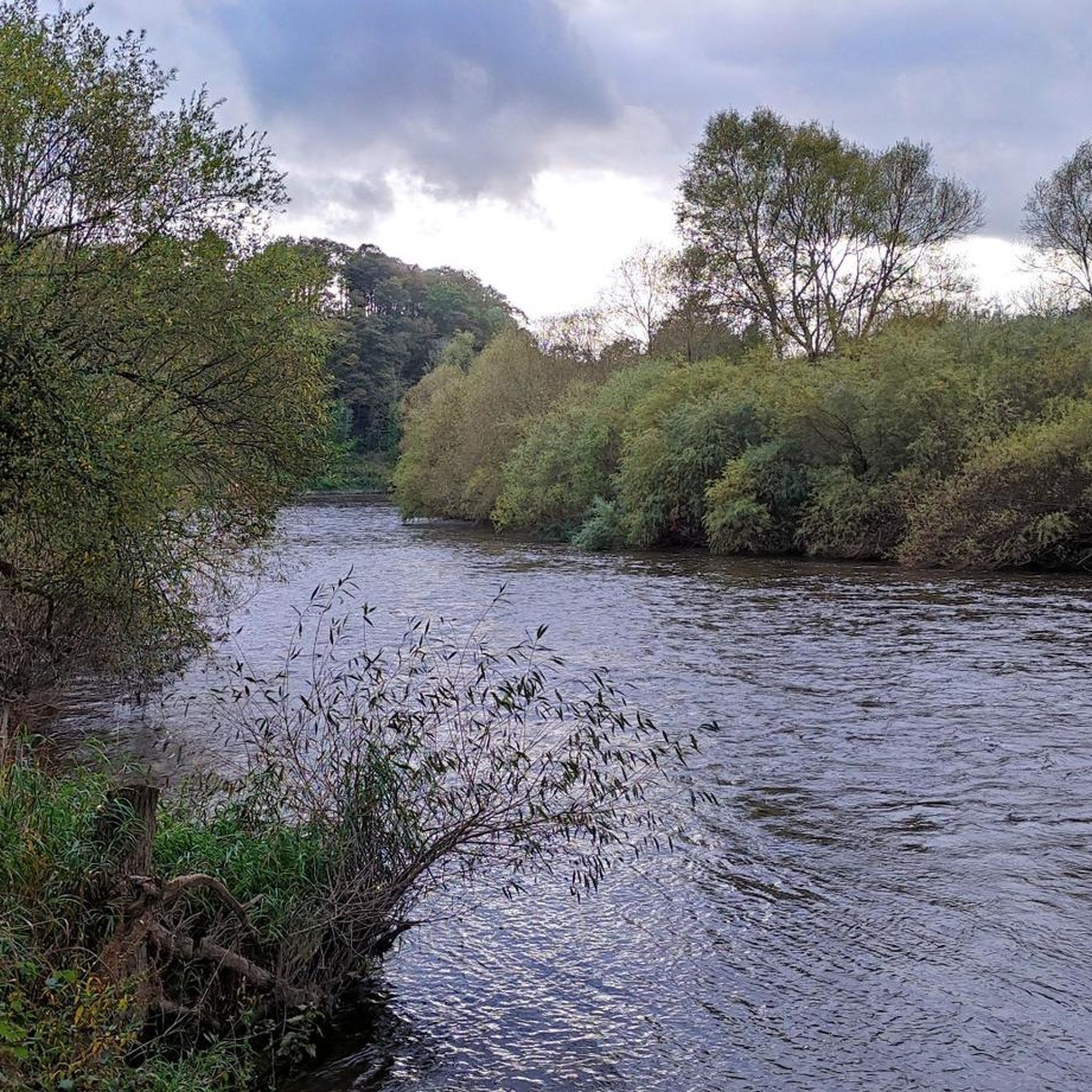
The ‘Old Railway Line’ cuts through the red sandstone bedrock. These sandstones are Triassic in age, belonging to the ‘Sherwood Sandstone Group’ of rocks. The Sherwood Sandstone Group, the older Permian-aged Bridgnorth Sandstone and the younger Triassic-aged Mercia Mudstone Group have one thing in common; they were deposited in a vast rift basin, called the Worcester Basin. The Worcester Basin was north-south orientated and formed during the Permian period. Its western edge, in the Geopark area, followed the line of a major fault-line, the East Malvern Fault. In the present day this fault line is most clearly marked by the Malvern, Suckley and Abberley Hills. The eastern edge of the Basin followed the line of another major fault-line, the Inkberrow Fault. Into this basin a great variety of different sedimentary rocks were deposited and formed. Some were windblown deposits, others were despotised by streams and rivers, evaporate deposits also formed in lakes and the other significant deposit was alluvial fans that formed along the edge of the basin. Each of the rocks represents the changing environments experienced in the basin through the passage of time. The rocks seen along the ‘Old Railway Line’ belong to the Wildmoor Sandstone Formation, part of the Sherwood Sandstone Group of rocks. They are around 220 million years ago and comprises soft, weakly cemented, pale red-brown, micaceous, sandstones. The well-rounded, evenly sized grains suggest reworking of windblown sands that were deposited the Worcester Basin during the Permian period. Source: geopark.org
0
0
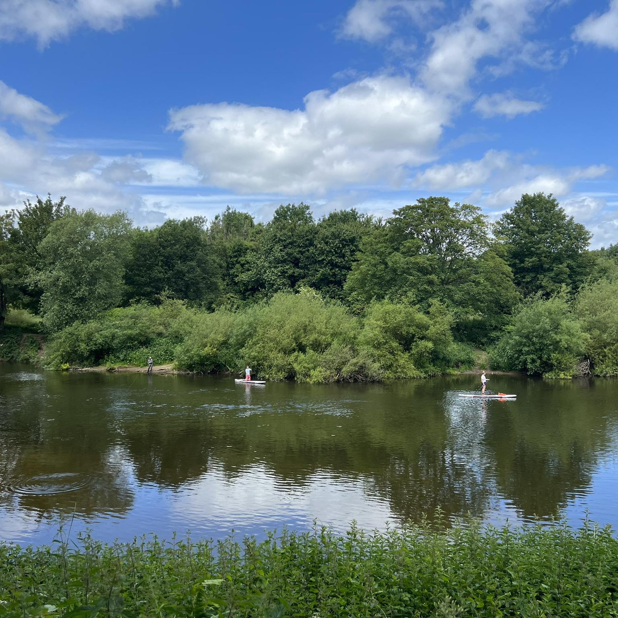
Holt Lock (Holt Fleet) is a place on the waterways on the River Severn (main river - Stourport to Worcester) between Hawford Junction (Junction of Droitwich Canal with River Severn) (2 miles and 7¾ furlongs to the southeast) and Severn - Stourport Broad Locks Entrance (The Broad Locks are for Wide Beam Boats only. Narrowboats are to use the Narrow Locks.) (5 miles and 4 furlongs and 1 lock to the north). The nearest place in the direction of Hawford Junction is Holt Lock Weir Exit (Channel leading to the Weir); 1 furlong away. The nearest place in the direction of Severn - Stourport Broad Locks Entrance is Holt Lock Weir Entrance (Channel leading to the Weir - No Access); 2¼ furlongs away.
0
0

Frequently Asked Questions
How many running routes are available around Elmley Lovett?
There are over 370 running routes in the Elmley Lovett area, offering a wide variety of options for all fitness levels. These include paths through open fields, along riversides, and on old railway lines.
What are the typical difficulty levels for running trails in Elmley Lovett?
The running trails around Elmley Lovett cater to various abilities. You'll find 33 easy routes, 288 moderate routes, and 58 more challenging trails, ensuring there's something for every runner.
Are there any circular running routes in Elmley Lovett?
Yes, many of the running paths in Elmley Lovett are circular. For example, the Running loop from Ombersley is a popular moderate 6.6-mile (10.7 km) option, and the Checketts of Ombersley – Holt Lock (River Severn) loop from Ombersley offers a 6.2-mile (10.0 km) riverside experience.
What kind of scenery can I expect on the jogging routes?
The routes in Elmley Lovett offer diverse Worcestershire countryside scenery, including open fields, tranquil riverside paths along the River Severn, and sections that follow disused railway lines and canals. You can also enjoy occasional views of distant hills, such as those seen on the View of the Malvern Hills loop from Crossway Green.
Are there any easy or beginner-friendly running trails?
Yes, Elmley Lovett has 33 easy running routes suitable for beginners or those looking for a gentler pace. These trails typically feature flatter terrain and shorter distances, perfect for a relaxed run.
What do other runners say about the trails in Elmley Lovett?
The running trails in Elmley Lovett are highly regarded by the komoot community, with an average rating of 4.6 stars from over 30 reviews. Runners often praise the varied terrain, the peaceful countryside, and the well-maintained paths.
Are the running routes in Elmley Lovett suitable for families?
Many of the easier and moderate routes, particularly those on flatter sections like old railway lines or well-trodden paths, can be suitable for families. Always check the route's distance and elevation profile to ensure it matches your family's capabilities.
Are there any points of interest or landmarks along the running routes?
Yes, you can encounter several interesting spots. For example, the Stourport Canal Tunnel – Leapgate Old Railway Line loop from Hartlebury incorporates a former railway line, which is also a highlight itself: Leapgate Old Railway Line. Other nearby natural attractions include Burlish Top Nature Reserve and Chaddesley Wood National Nature Reserve.
What are the best times of year for jogging in Elmley Lovett?
Spring and autumn generally offer the most pleasant conditions for jogging in Elmley Lovett, with mild temperatures and beautiful seasonal foliage. Summer can be great for early morning or late evening runs, while winter runs are possible but may require appropriate gear for potentially muddy or frosty paths.
Are there any advanced or challenging running routes available?
Yes, for more experienced runners, there are 58 difficult routes. A notable challenging option is the Stourport Canal Tunnel – Leapgate Old Railway Line loop from Hartlebury, a 14.8-mile (23.8 km) trail that explores canal paths and a former railway line.
Is parking generally available near the running trails?
While specific parking information for each route isn't always detailed, many rural starting points for trails in the Worcestershire countryside typically have roadside parking or small car parks in nearby villages. It's advisable to check local signage or route descriptions for specific parking recommendations.
Are the running routes dog-friendly?
Most countryside paths in the Elmley Lovett area are generally dog-friendly, especially if dogs are kept under control or on a leash, particularly near livestock. Always be mindful of local regulations and respect private land.
Most popular attractions around Elmley Lovett

Get inspired with the komoot mobile app


Explore more
Browse the best Running Trails & Routes in other regions.
