The best running trails around Wolverley And Cookley
4.7
(22)
3,378
runners
23
runs
Jogging routes around Wolverley And Cookley traverse a varied landscape featuring tranquil waterways, ancient woodlands, and distinctive sandstone ridges. The region offers a mix of flat canal towpaths, shaded forest trails, and more challenging paths along elevated ridges. This diverse terrain provides options for various running preferences and fitness levels.
Best jogging routes around Wolverley And Cookley
- The most popular jogging route is Holy Austin Rock House – Kinver Hillfort loop from Kinver, a 6.0 miles (9.7 km) trail that takes 1 hour 8 minutes to complete. This route explores Kinver Edge, offering panoramic views and passing ancient hill forts.
- Another top favourite among local runners is Old Smithy Tea Rooms – Cookley Tunnel loop from Cookley, a moderate 5.7 miles (9.3 km) path. This route follows canal towpaths, providing a peaceful waterside running experience.
- Local runners also love the Lea Lane Canal Towpath – Cookley Tunnel loop from Cookley, a 3.0 miles (4.8 km) trail leading through canal towpaths and near the Cookley Tunnel, often completed in about 33 minutes.
- Jogging around Wolverley And Cookley is defined by canal towpaths, ancient woodlands like Wyre Forest, and sandstone ridges such as Kinver Edge. The network of running routes offers options for different ability levels, from easy waterside paths to more moderate forest trails.
- The routes in Wolverley And Cookley are highly rated by the komoot community with an average score of 4.5 stars from over 17 reviews. More than 3000 runners have used komoot to explore Wolverley And Cookley's varied terrain.
Last updated: September 25, 2026
5.0
(1)
35
runners
9.67km
01:08
180m
180m
Moderate run. Good fitness required. Mostly paved surfaces. Suitable for all skill levels.
31
runners
9.32km
01:03
80m
80m
Moderate run. Good fitness required. Mostly paved surfaces. Suitable for all skill levels.

29
runners
Moderate run. Good fitness required. Mostly paved surfaces. Suitable for all skill levels.
5.0
(1)
36
runners
6.13km
00:42
50m
50m
Moderate run. Good fitness required. Mostly paved surfaces. Suitable for all skill levels.
5.0
(1)
16
runners
6.63km
00:42
80m
80m
Moderate run. Good fitness required. Mostly paved surfaces. Suitable for all skill levels.
Get access to more routes and recommendations from other explorers.
Already have an account?
Our route recommendations are based on thousands of hikes, rides, and runs completed by other people on komoot.
Start today with a free account
Your next adventure awaits.
Popular around Wolverley And Cookley
Other adventures around Wolverley And Cookley

Tips from the Community

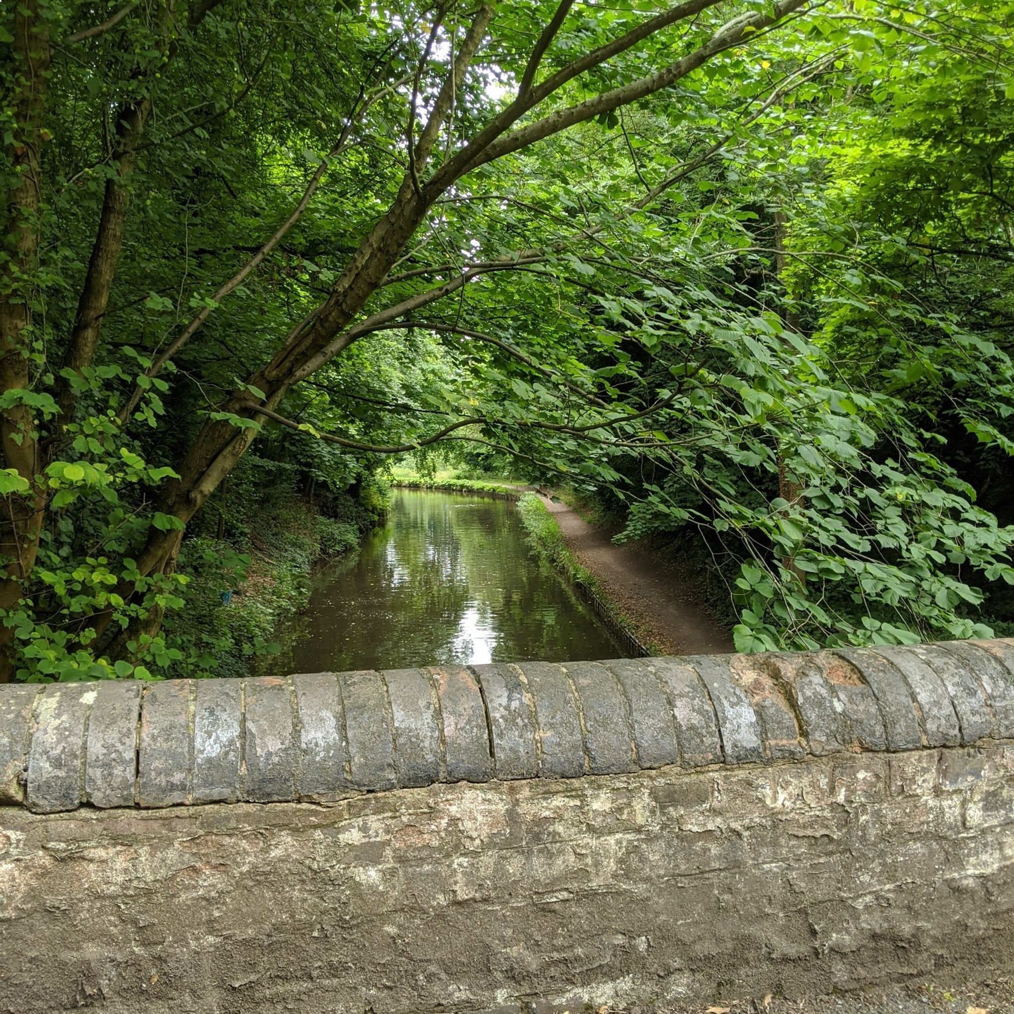
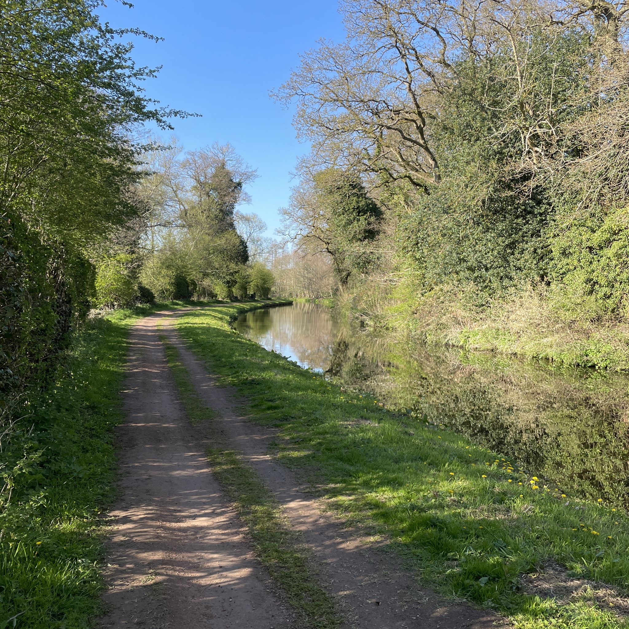
Taken from Caunsell bridge, a very pleasant section of the Staffordshire & Worcestershire canal.
0
0
The point where the North Worcestershire Way reaches the top of the Edge, and the Staffordshire Way
0
0


Kinver Edge Hillfort, is a univallate Iron Age hillfort with a massive rampart and outer ditch along the south-west and south-east sides, with natural defences .
0
0


The toposcope got a refresh a few years back with a granite replica of the original Welsh slate top that had weathered back. Now you can clearly work out where you are in relation to New York again! New York is a bit too far off on the horizon, but with the vantage that the 164m high point affords you, you will be treated to views of the Clent Hills, Shatterford Hill, Dudley, Wenlock Edge, Malvern Hills and the Shropshire Hills.
1
0
Frequently Asked Questions
What types of terrain can I expect on running routes around Wolverley and Cookley?
The region offers a diverse range of terrain for runners. You'll find flat and accessible towpaths along the Staffordshire and Worcestershire Canal and the River Stour, ideal for steady runs. For those who prefer shaded trails, there are extensive ancient woodlands like the Wyre Forest. More challenging options include paths along prominent sandstone ridges such as Kinver Edge, which offer varied elevation and panoramic views.
Are there many running routes available in the Wolverley and Cookley area?
Yes, there are plenty of options for runners. The komoot community has mapped out over 20 running routes in the Wolverley and Cookley area, catering to various preferences and fitness levels.
What are some easy running routes suitable for beginners in this area?
For an easier run, consider the Lea Lane Canal Towpath – Cookley Tunnel loop from Cookley. This 3.0-mile (4.8 km) trail follows canal towpaths, offering a gentle and peaceful waterside experience. There are also other easy routes available, particularly along the canal systems.
Can I find routes with interesting landmarks or viewpoints in Wolverley and Cookley?
Absolutely. Many routes incorporate notable landmarks. For instance, the Holy Austin Rock House – Kinver Hillfort loop from Kinver explores Kinver Edge, offering dramatic views and passing the historic Holy Austin Rock Houses. Other routes might take you near the impressive Victoria Bridge over the River Severn or offer glimpses of the Four Stones at Clent Hills.
Are there any family-friendly running trails in Wolverley and Cookley?
Many of the flatter canal towpath routes are suitable for families, offering safe and accessible paths away from traffic. These routes provide a pleasant environment for a run or walk with children, often with picturesque views of the waterways.
What do other runners say about the trails in Wolverley and Cookley?
The running routes in Wolverley and Cookley are highly regarded by the komoot community, with an average rating of 4.5 stars from over 17 reviews. Runners often praise the varied scenery, from tranquil canal paths to ancient woodlands and challenging ridge climbs, and appreciate the well-maintained trails.
Are there any circular running routes available?
Yes, many of the routes in the area are designed as loops, allowing you to start and finish at the same point. Examples include the Old Smithy Tea Rooms – Cookley Tunnel loop from Cookley, which follows canal towpaths, and the Holy Austin Rock House – Kinver Hillfort loop from Kinver, offering a scenic circular run on Kinver Edge.
Are the running routes in Wolverley and Cookley suitable for dogs?
Generally, many of the trails, especially those through woodlands and along canal towpaths, are dog-friendly. However, it's always advisable to keep dogs on a leash, particularly in nature reserves like the Wyre Forest or near livestock, and to be mindful of other trail users. Always check local signage for specific rules.
What is the best time of year to go running in Wolverley and Cookley?
The region offers good running conditions throughout much of the year. Spring and autumn provide pleasant temperatures and beautiful scenery, with vibrant foliage in the woodlands. Summer is also popular, though shaded forest trails are preferable on hotter days. Winter runs can be enjoyable, but some woodland paths may become muddy, especially in areas like the Wyre Forest.
Are there any challenging running routes for experienced runners?
For those seeking a more challenging run, routes that ascend the sandstone ridges, such as those around Kinver Edge, offer significant elevation gain. The Holy Austin Rock House – Kinver Hillfort loop from Kinver, for example, includes 176 meters of elevation gain over 9.7 km, providing a good workout with rewarding views.
Where can I find parking for the running trails in Wolverley and Cookley?
Parking is generally available at various access points to the trails, particularly in and around the villages of Wolverley and Cookley, and near popular starting points for routes like Kinver Edge. Specific parking details can often be found on individual route descriptions on komoot.
Are there places to stop for refreshments near the running routes?
Yes, the area has several options for refreshments. Villages like Wolverley and Cookley offer pubs and cafes. For example, the Old Smithy Tea Rooms – Cookley Tunnel loop from Cookley starts near a tea room, providing a convenient stop before or after your run. Many routes also pass through or near local pubs, perfect for a post-run drink.
Most popular routes around Wolverley And Cookley
Most popular attractions around Wolverley And Cookley

Get inspired with the komoot mobile app


Explore more
Browse the best Running Trails & Routes in other regions.
