The best running trails around Shrawley
4.6
(31)
5,413
runners
243
runs
Jogging around Shrawley offers a diverse natural setting, characterized by significant woodlands and scenic river paths. The region features Shrawley Wood, an ancient woodland known for its small-leaved lime trees, providing a picturesque environment for running. Trails also follow the banks of the River Severn and smaller tributaries like Dick Brook, offering varied terrain that includes farmland, riverbank, and parkland. This mix of landscapes provides a range of running experiences for different preferences.
Best jogging routes around Shrawley
- The most…
Last updated: October 9, 2026
28
runners
12.5km
01:27
220m
220m
Moderate run. Good fitness required. Mostly paved surfaces. Suitable for all skill levels.
9
runners
10.7km
01:08
140m
140m
Moderate run. Good fitness required. Mostly paved surfaces. Suitable for all skill levels.

5.0
(1)
8
runners
Moderate run. Good fitness required. Mostly paved surfaces. Suitable for all skill levels.
8
runners
5.12km
00:32
50m
50m
Moderate run. Good fitness required. Mostly paved surfaces. Suitable for all skill levels.
6
runners
12.0km
01:15
110m
110m
Moderate run. Good fitness required. Mostly paved surfaces. Suitable for all skill levels.
Get access to more routes and recommendations from other explorers.
Already have an account?
Our route recommendations are based on thousands of hikes, rides, and runs completed by other people on komoot.
Start today with a free account
Your next adventure awaits.
Tips from the Community

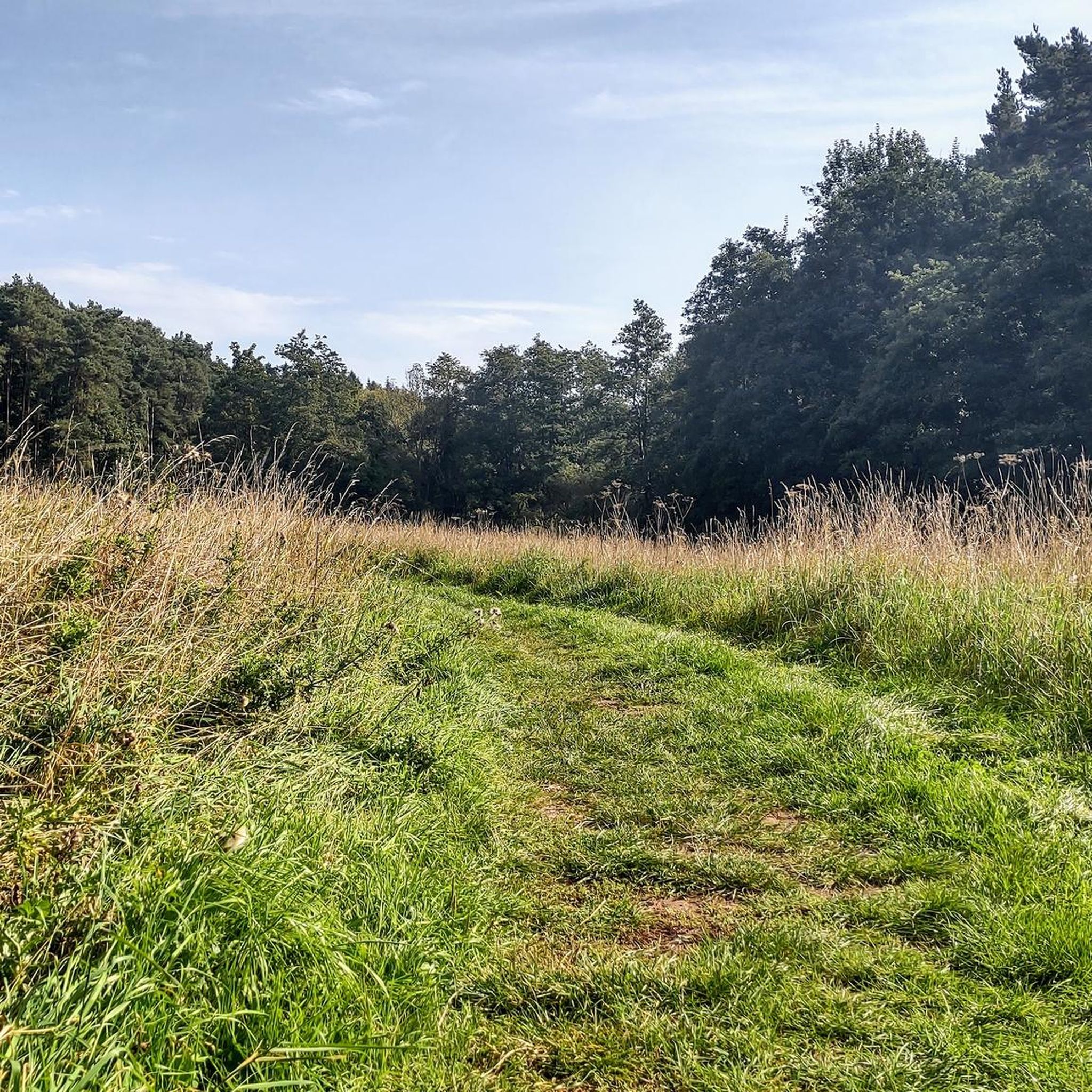
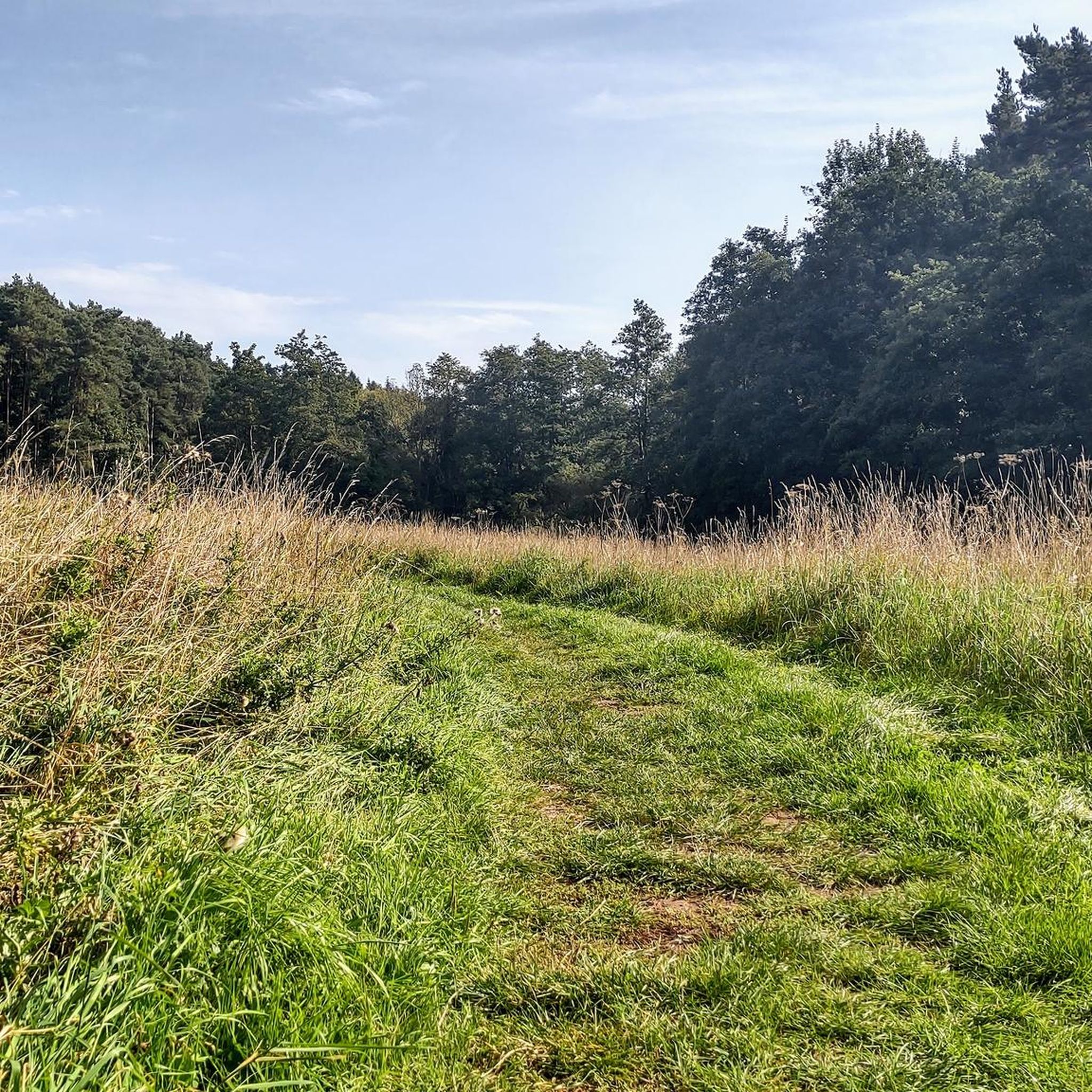
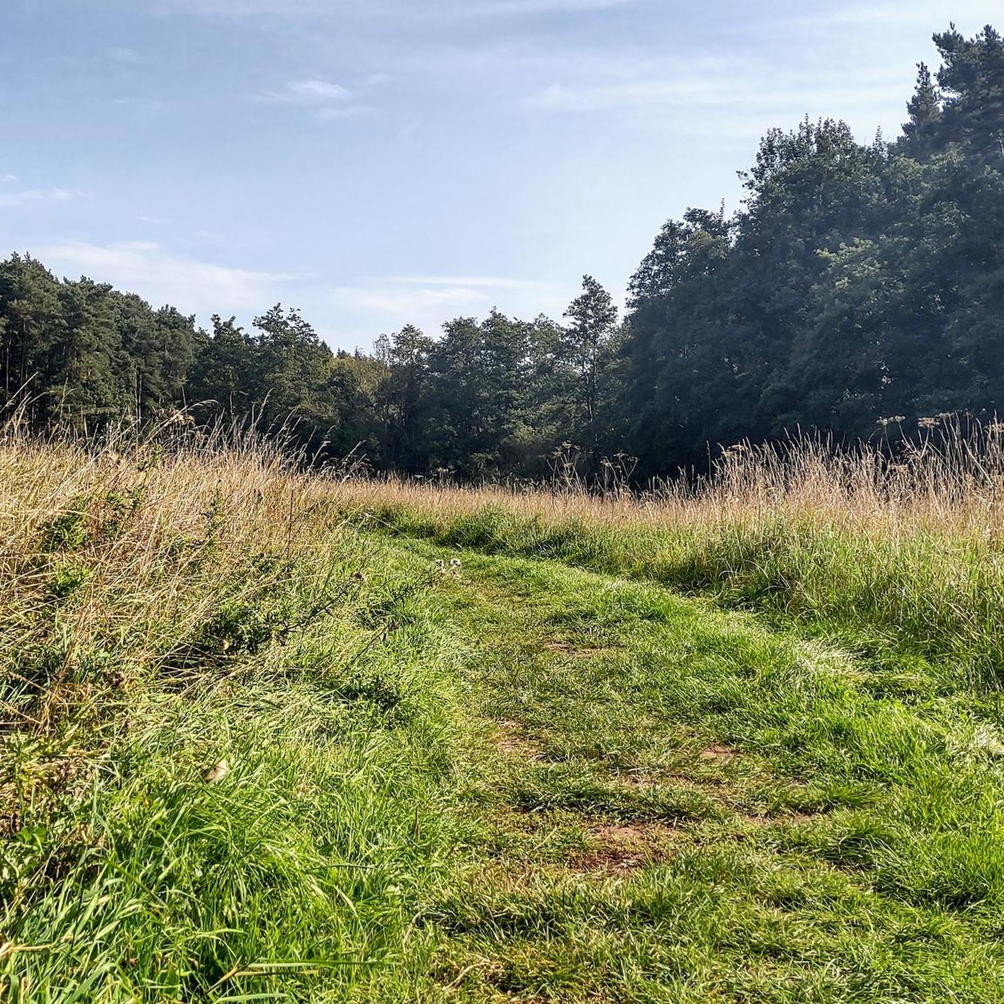
Geopark Way route down to the River Teme. Cleared in August '26 by the local volunteers - thanks guys! Off-road shoes essential, especially in winter.
1
0

A wonderful piece of Geological detective work - leading to the discovery of Martley Rock! https://geo-village.org/martleyrock-3/
0
0
A secluded nature reserve alongside the Teme, quite open at one end and enclosed and overgrown at the Martley end.
0
0
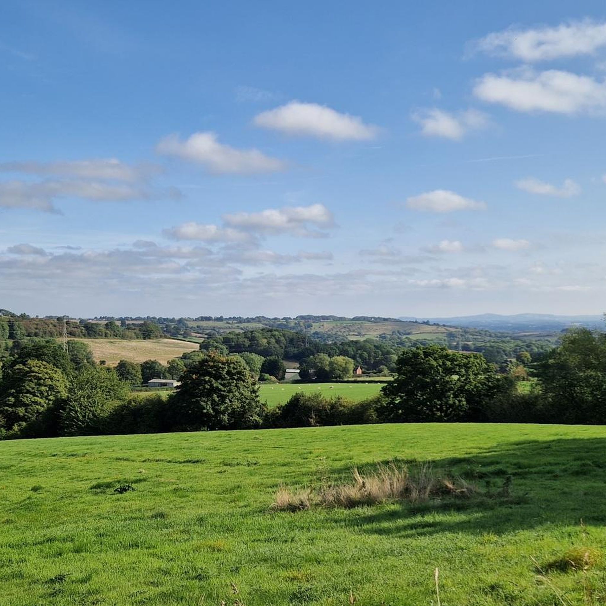
Top of the hill, there's a bench, with excellent views toward Berrow Hill. Take a breather doing hill reps from Kingswood Common, and read the plaque.
1
0
Well kept footpaths through the woods. Trail along the Teme bank, or higher up the valley. Off road shoes essential, mind your step for some tree roots.
0
0
Well-kept paths, amazing views, interesting countryside. Off-road shoes essential.
1
0

Frequently Asked Questions
How many running routes are available around Shrawley?
There are over 200 running routes documented around Shrawley on komoot, offering a wide variety of options for different preferences and fitness levels. These include 17 easy routes, 169 moderate routes, and 43 more challenging trails.
What kind of terrain can I expect on jogging trails in Shrawley?
Jogging routes in Shrawley feature diverse terrain, including ancient woodlands like Shrawley Wood, riverside paths along the River Severn, and trails alongside smaller tributaries such as Dick Brook. You'll encounter a mix of farmland, open meadows, and parkland, providing varied surfaces and scenery for your run.
Are there any easy or beginner-friendly running routes in Shrawley?
Yes, Shrawley offers several easy running routes suitable for beginners or those looking for a more relaxed jog. There are 17 routes classified as easy, providing gentle loops and less challenging terrain to enjoy the natural surroundings.
What natural features or landmarks can I see while running in Shrawley?
Shrawley's running routes pass by several interesting natural features and historical sites. You can explore the ancient Shrawley Wood, known for its small-leaved lime trees and vibrant spring bluebells. Trails also follow the River Severn and Dick Brook, where you might find unique features like stepping stones. Historical points of interest include the site of Astley Iron Forge Mill along Dick Brook and the ancient Shrawley Castle on Oliver's Mount. For specific attractions, consider visiting Burlish Top Nature Reserve or the Redstone Caves.
Are there any circular running routes in the Shrawley area?
Many of the running routes around Shrawley are designed as circular loops, allowing you to start and finish at the same point. An example is the moderate Running loop from Holt Lock, which covers 5.1 km. These circular options are convenient for exploring the diverse landscapes without needing to retrace your steps.
What is the best time of year to go jogging in Shrawley?
Shrawley offers beautiful running conditions throughout the year, but spring and autumn are particularly scenic. In spring, Shrawley Wood is carpeted with bluebells and wild garlic, creating a picturesque environment. Autumn brings vibrant leaf colors, especially in the woodlands. The varied terrain means you can find enjoyable routes in most seasons.
Are Shrawley's running trails suitable for families or children?
While specific family-friendly routes are not explicitly categorized, the area's diverse terrain includes easier paths that could be suitable for families. The ancient woodlands and riverside paths offer engaging environments for children, though some trails might be more adventurous. Look for routes classified as 'easy' for gentler options.
Can I bring my dog on the running trails in Shrawley?
Many of the outdoor trails in Shrawley are generally dog-friendly, especially those through woodlands and along riverbanks. However, it's always advisable to keep dogs under control, particularly near livestock or in nature reserves, and to check local signage for any specific restrictions. Shrawley Wood and the River Severn paths are popular choices for runners with dogs.
What do other runners enjoy most about jogging in Shrawley?
The komoot community highly rates the running experience in Shrawley, with an average score of 4.38 stars from over 20 reviews. Runners often praise the region's diverse natural setting, including the ancient woodlands, scenic riverside paths, and the variety of terrain that keeps runs interesting and engaging.
Are there any long-distance running options around Shrawley?
Yes, Shrawley offers several longer running routes for those seeking a more extended workout. For example, the Kingswood Common – John Niklins Fault loop from Wichenford is a moderate 12.5 km (7.7 miles) trail, and the View of the Malvern Hills loop from Crossway Green is 11.9 km (7.4 miles), providing ample distance for longer runs.
Is parking available near the running routes in Shrawley?
While specific parking locations are not detailed for every route, Shrawley is generally accessible by car. Many trailheads or starting points for routes, especially those originating from villages or popular natural areas, often have nearby parking facilities. It's recommended to check the route details on komoot for specific parking information for your chosen trail.
Can I access Shrawley's running trails using public transport?
Public transport options to Shrawley may be limited, as it is a rural area. While some routes might be accessible from nearby villages with bus services, direct access to all trailheads via public transport might require some planning. Checking local bus schedules for routes connecting to villages near your desired starting point is advisable.
Most popular routes around Shrawley
Most popular attractions around Shrawley

Get inspired with the komoot mobile app


Explore more
Browse the best Running Trails & Routes in other regions.
