The best walks and hikes around Doverdale
4.5
(467)
2,995
hikers
289
hikes
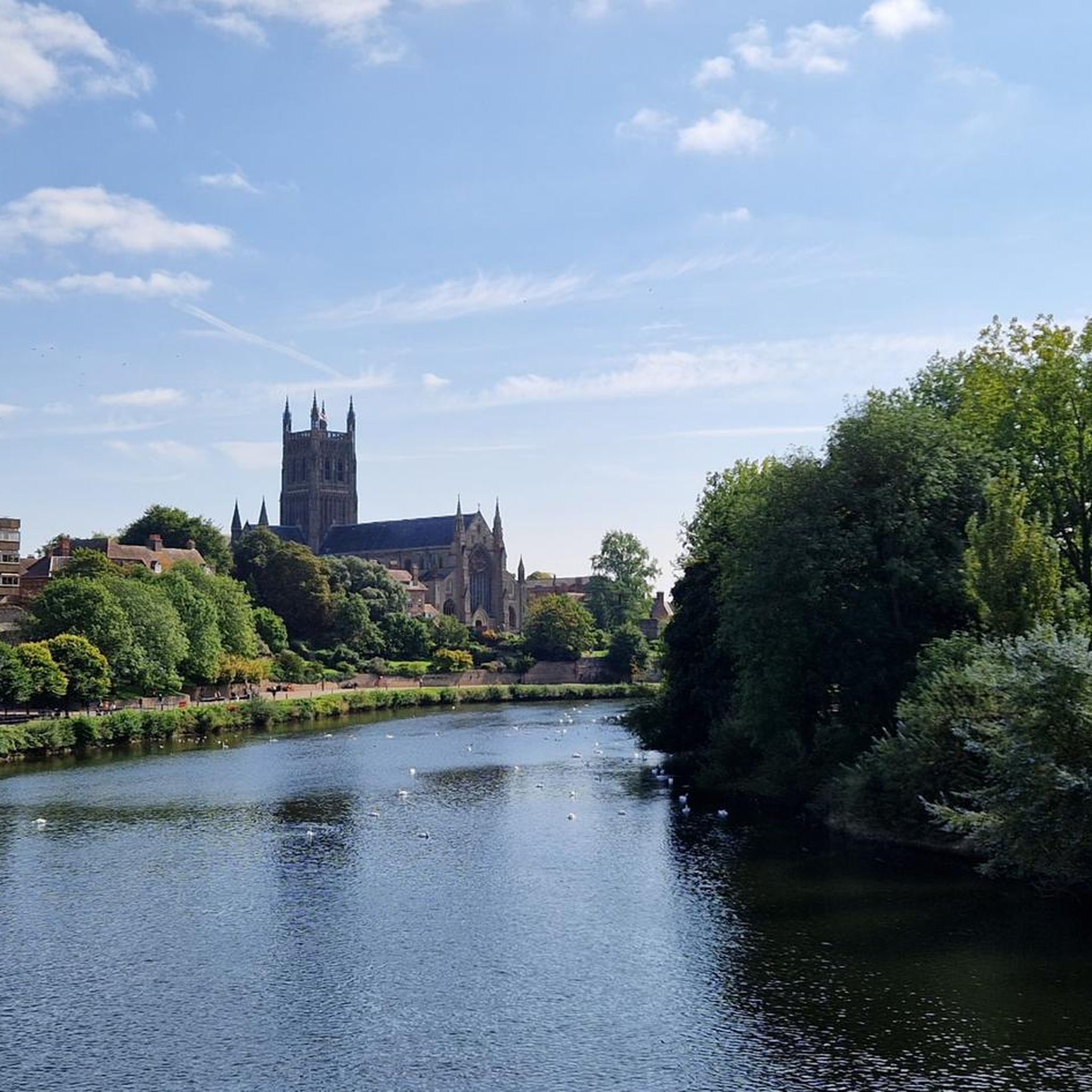
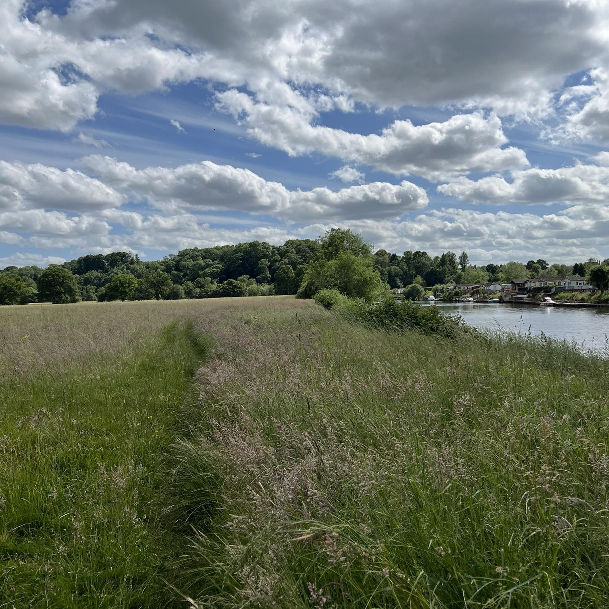
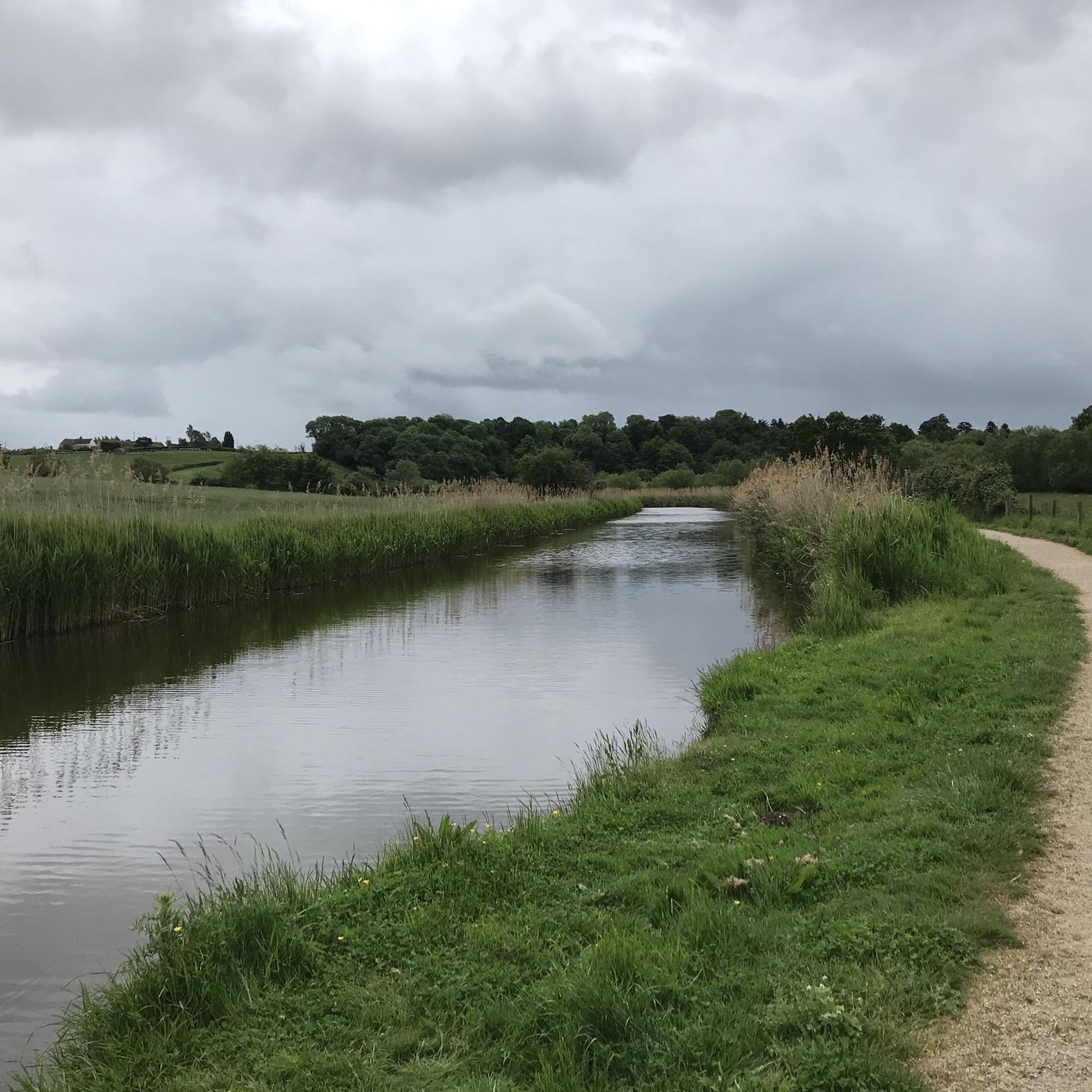
Walking trails around Doverdale explore the gentle Worcestershire countryside, characterized by pastoral landscapes and local waterways. The terrain is generally flat, with many public footpaths following the banks of the River Severn and the Droitwich Canals. This makes the area suitable for accessible, leisurely hikes through fields and alongside historic locks.
Best hiking trails around Doverdale
- The most popular hiking route is Holt Fleet Bridge – Holt Lock (River Severn) loop from Ombersley, a 6.0 mile (9.6 km) trail…
Last updated: August 15, 2026
4.8
(14)
63
hikers
9.60km
02:32
80m
80m
Moderate hike. Good fitness required. Easily-accessible paths. Suitable for all skill levels.
4.0
(2)
10
hikers
Moderate hike. Good fitness required. Easily-accessible paths. Suitable for all skill levels.

Sign up for free
4.3
(3)
6
hikers
14.4km
03:47
120m
120m
Moderate hike. Good fitness required. Easily-accessible paths. Suitable for all skill levels.
5.0
(1)
6
hikers
Easy hike. Great for any fitness level. Easily-accessible paths. Suitable for all skill levels.
9
hikers
11.6km
02:58
40m
40m
Moderate hike. Good fitness required. Easily-accessible paths. Suitable for all skill levels.
Get access to more routes and recommendations from other explorers.
Sign up for free
Already have an account?
Our route recommendations are based on thousands of hikes, rides, and runs completed by other people on komoot.
Start today with a free account
Your next adventure awaits.
Login or Signup

Tips from the Community

great pub, stayed the night. Good food, comfy room
0
0

Vines Park is a narrow strip of parkland between Droitwich town centre and a neighbouring residential road. It is very pleasant as it has the Droitwich canal and the river Salwarpe running through it, and the occasional family of swans.
0
0

A cross which marks the start of "The Forest," which leads to a village hall and Hampton Lovett Church. This lane is a part of the Monarch's Way.
0
0
This footpath is a part of the Monarch's Way, following the escape of Charles II in 1651.
0
0


The house known as Porter's Mill stands on a tributary of the Severn, with the actual mill on the opposite side of the road. The building is of half-timber work plastered, and is entered by a wood porch, with 18th-century moulded balusters fitted in the sides. There is a small hall, with stair and large fireplace on the left, and above the latter are the royal arms encircled by the Garter and flanked by the crowned initials E. R. One of the rooms contains a 17th-century plaster ceiling of interlacing design, enriched with fleurs de lis, crowns, fruit, Prince of Wales' feathers, mermaids, &c. There is also some good moulded oak panelling ornamented with lions and crowns. The short stair has good twisted balusters.
0
0
Porters Mill Lock No 4 is a minor waterways place on the Droitwich Canals (Droitwich Barge Canal) between Hawford Junction (Junction of Droitwich Canal with River Severn) (2 miles and ½ furlongs and 3 locks to the west) and Droitwich Junction (Junction of Droitwich Barge Canal and Droitwich Junction Canal) (3 miles and 6 furlongs and 5 locks to the northeast). The nearest place in the direction of Hawford Junction is Porters Mill Bridge No 5; a few yards away. The nearest place in the direction of Droitwich Junction is Ladywood Lock No 5; 1¼ furlongs away.
0
0
Porters Mill Bridge No 5 is a minor waterways place on the Droitwich Canals (Droitwich Barge Canal) between Hawford Junction (Junction of Droitwich Canal with River Severn) (2 miles and ½ furlongs and 3 locks to the west) and Droitwich Junction (Junction of Droitwich Barge Canal and Droitwich Junction Canal) (3 miles and 6 furlongs and 6 locks to the northeast). The nearest place in the direction of Hawford Junction is Mildenham Mill Lock No 3; 6½ furlongs away. The nearest place in the direction of Droitwich Junction is Porters Mill Lock No 4; a few yards away.
0
0
Frequently Asked Questions
What is the hiking terrain like around Doverdale?
The hiking around Doverdale explores the gentle Worcestershire countryside. Expect mostly flat, pastoral landscapes with many public footpaths following the banks of the River Severn and the Droitwich Canals. The trails are generally accessible and well-suited for leisurely walks.
Are there many circular walks available?
Yes, circular walks are very common in the area. Many routes are designed as loops, combining riverside paths, canal towpaths, and footpaths through agricultural fields. This allows you to start and end in the same place without retracing your steps.
Are the trails suitable for families with children?
Definitely. The predominantly flat terrain and clear paths make this area great for family outings. For a shorter, manageable walk, consider the Wildflower Garden by the Canal – Porters Mill Bridge No. 5 loop from Martin Hussingtree, which is an easy 7.5 km route along the canal.
How difficult are the hikes in this region?
Most hikes around Doverdale are rated as easy to moderate. The landscape lacks significant hills, so the challenge comes from the distance rather than steep climbs. There are over 140 easy routes and around 100 moderate ones, offering plenty of choice for different fitness levels.
Can I bring my dog on the hikes?
Yes, the area is generally dog-friendly, with plenty of public footpaths. However, you will be walking through farmland with livestock, so it's essential to keep your dog on a lead and under control, especially near sheep and cattle. Always follow the Countryside Code.
What do other hikers think of the routes around Doverdale?
The routes are highly regarded by the komoot community, with an average rating of 4.4 stars. Reviewers often praise the peaceful riverside and canal-side paths, as well as the classic English countryside scenery.
Are there any longer, more challenging hikes available?
While the area is known for gentle walks, you can find longer moderate hikes. For a more substantial walk, the St Michael’s Church – Porters Mill Bridge No. 5 loop from Droitwich Spa is a good option, covering over 11 km of varied paths.
What are the trail conditions like? Is it often muddy?
Given the riverside and pastoral nature of the trails, paths can become muddy, especially after rain. It's always a good idea to wear waterproof hiking boots or sturdy walking shoes with good grip.
Is it possible to hike using public transport?
Yes, several walks can be started from nearby towns and villages like Droitwich Spa or Ombersley, which have public transport links. Planning your route to start and end in one of these locations makes a car-free day of hiking possible.
What kind of scenery can I expect to see?
The scenery is classic English countryside. You'll see historic canal locks, tranquil stretches of the River Severn, open fields, and pastoral farmland. It's a very green and peaceful landscape.
How many hiking trails are there to choose from?
There are over 200 designated hiking routes around Doverdale available on komoot, ensuring a wide variety of options for distance, difficulty, and scenery.
Most popular attractions around Doverdale

Get inspired with the komoot mobile app


Explore more
Browse the best Hikes in other regions.
