The best walks and hikes around Zweiflingen
4.5
(5413)
21,684
hikers
61
hikes
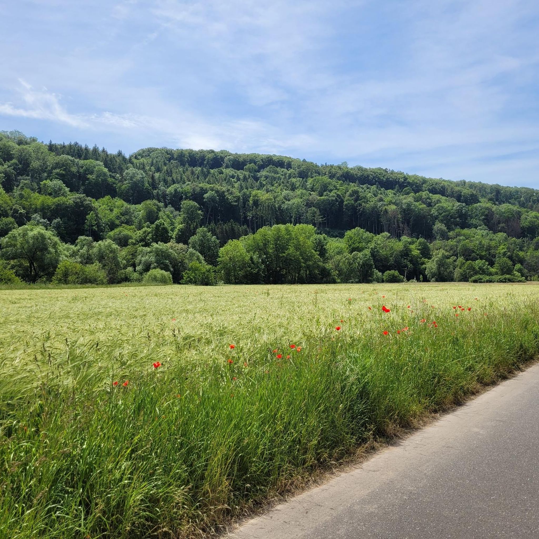
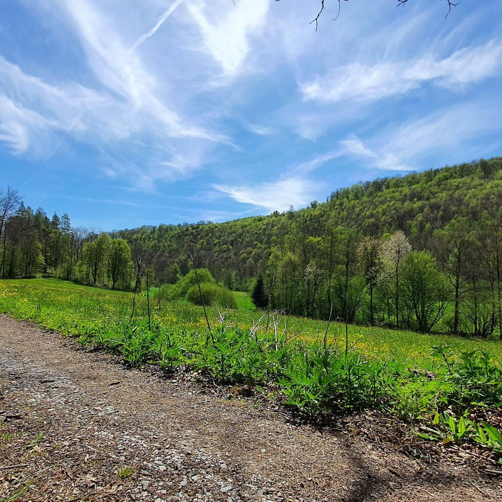
Hiking around Zweiflingen offers diverse terrain within the Hohenlohe region of Baden-Württemberg, Germany. The landscape features the Hohenlohe Plain, which transitions into the river valleys of the Kocher and Jagst, creating varied scenery. Hikers can explore extensive forest areas, cultivated lands with vineyards and orchards, and unique gypsum keuper formations. The region also includes paths along the Upper Germanic-Raetian Limes, a UNESCO World Heritage Site, providing historical context to the natural environment.
Best hiking trails around Zweiflingen
- The most popular…
Last updated: October 13, 2026
4.8
(33)
116
hikers
Easy hike. Great for any fitness level. Easily-accessible paths. Suitable for all skill levels.
4.5
(12)
32
hikers
6.65km
01:54
150m
150m
Easy hike. Great for any fitness level. Easily-accessible paths. Suitable for all skill levels.

4.9
(11)
25
hikers
9.78km
02:41
160m
160m
Moderate hike. Good fitness required. Easily-accessible paths. Suitable for all skill levels.
5.0
(4)
25
hikers
5.47km
01:34
130m
130m
Easy hike. Great for any fitness level. Easily-accessible paths. Suitable for all skill levels.
4.5
(6)
18
hikers
Easy hike. Great for any fitness level. Easily-accessible paths. Suitable for all skill levels.
Get access to more routes and recommendations from other explorers.
Already have an account?
Our route recommendations are based on thousands of hikes, rides, and runs completed by other people on komoot.

Tips from the Community

Limes discovered on the Pfahldöbel by bike
0
0
Limesblick Zweiflingen discovered by bike
0
0
Flower box Flower field by bike
0
0
Wanderkarte Hohenlohe by bike
0
0
Marker stone discovered while cycling
0
0
Golf course Friedrichsruhe when cycling
0
0

Here, the wall and ditch are still clearly visible, making the Roman border fortifications vividly tangible.
5
0
The Limesblick viewpoint in Zweiflingen am Pfahldöbel is a prominent vantage point along the UNESCO World Heritage Site of the Upper Germanic-Raetian Limes. Here, a modern observation tower offers visitors a sweeping 360° panoramic view of the Hohenlohe landscape 🌄. Right next to it, information panels explain the Roman border fortifications, the course of the Limes, and the encounters between Romans and Germanic tribes.
7
0
Frequently Asked Questions
How many hiking trails are available around Zweiflingen?
There are over 60 hiking trails around Zweiflingen, offering a wide range of options for different preferences and skill levels. The komoot community has explored these routes over 800 times.
What kind of terrain can I expect on hikes in Zweiflingen?
Hiking in Zweiflingen features diverse terrain, from the expansive Hohenlohe Plain to the picturesque river valleys of the Kocher and Jagst. You'll find extensive forest paths, cultivated landscapes with vineyards and orchards, and unique gypsum keuper formations. Some routes also lead along the historical Roman Limes.
Are there easy hiking trails suitable for beginners or families?
Yes, Zweiflingen offers many easy trails. Out of the over 60 routes, 43 are classified as easy. An example is the Forest Path in Hohenlohekreis – Waldfriedhof Forest Cemetery loop from Zweiflingen, which is 5.7 km long and takes about 1 hour 30 minutes to complete.
Can I find challenging hikes near Zweiflingen?
While most trails are easy to moderate, there are a few more challenging options. The region's varied landscape, with its river valleys and hills, provides opportunities for routes with more elevation gain, though none are classified as very difficult. There are 3 difficult routes available for those seeking a greater challenge.
Are there any circular walks available in Zweiflingen?
Many of the hiking routes in Zweiflingen are circular, allowing you to start and end at the same point. For instance, the Circle of Giant Sequoias – Middle Sall Valley Trail loop from Zweiflingen is an easy 6.7 km circular path that explores the Middle Sall Valley.
What historical landmarks can I see while hiking in Zweiflingen?
Zweiflingen is close to the Upper Germanic-Raetian Limes, a UNESCO World Heritage Site. You can explore trails like the Limes at Pfahldöbel – Informationstafeln zum Limes loop from Zweiflingen. The Limesblick viewpoint at Pfahldöbel offers panoramic views and information about Roman history. Additionally, the region features historic towns like Forchtenberg with its half-timbered houses and city walls.
Are there any viewpoints along the hiking trails?
Yes, the Limesblick viewpoint in Zweiflingen am Pfahldöbel is a notable spot, offering a 360-degree panoramic view of the Hohenlohe landscape. Many trails also provide expansive views across the Hohenlohe Plain and into the river valleys.
What natural features or attractions can I discover on hikes?
Beyond the Limes, you can discover beautiful natural features. Some routes pass by small lakes, which can attract wildlife. The Circle of Giant Sequoias – Middle Sall Valley Trail loop from Zweiflingen, for example, leads past impressive giant sequoias. The Kocher and Jagst river valleys themselves are scenic highlights.
Are there any castles or historic sites nearby that I can visit?
Yes, the region around Zweiflingen is rich in castles and historic sites. You can find highlights such as Neuenstein Castle, Götzenburg Castle (Jagsthausen), and Pfedelbach Castle. The historic Möckmühl Old Town is also worth exploring.
What do other hikers enjoy most about hiking in Zweiflingen?
The komoot community highly rates hiking in Zweiflingen, with an average score of 4.7 stars from over 170 reviews. Hikers often praise the varied scenery, from tranquil forest paths to open landscapes, and the historical context provided by the Roman Limes. The well-maintained trails and diverse options for all skill levels are also frequently highlighted.
Are there any routes that combine nature with other activities, like golf?
Yes, some routes creatively blend natural exploration with other attractions. For instance, a path around Zweiflingen-Friedrichsruhe leads through a beautifully landscaped 27-hole golf course and passes by a small lake, offering a unique integrated experience.
What is the best season for hiking in Zweiflingen?
The Hohenlohe region offers pleasant hiking experiences throughout much of the year. Spring and autumn are particularly beautiful, with blooming orchards and vineyards or vibrant fall foliage. The extensive forest areas also provide shaded paths, making summer hikes enjoyable.
Most popular routes around Zweiflingen
Most popular attractions around Zweiflingen

Get inspired with the komoot mobile app


Explore more
Browse the best Hikes in other regions.
