The best road cycling routes around Zwischbergen
5.0
(9)
339
riders
10
rides
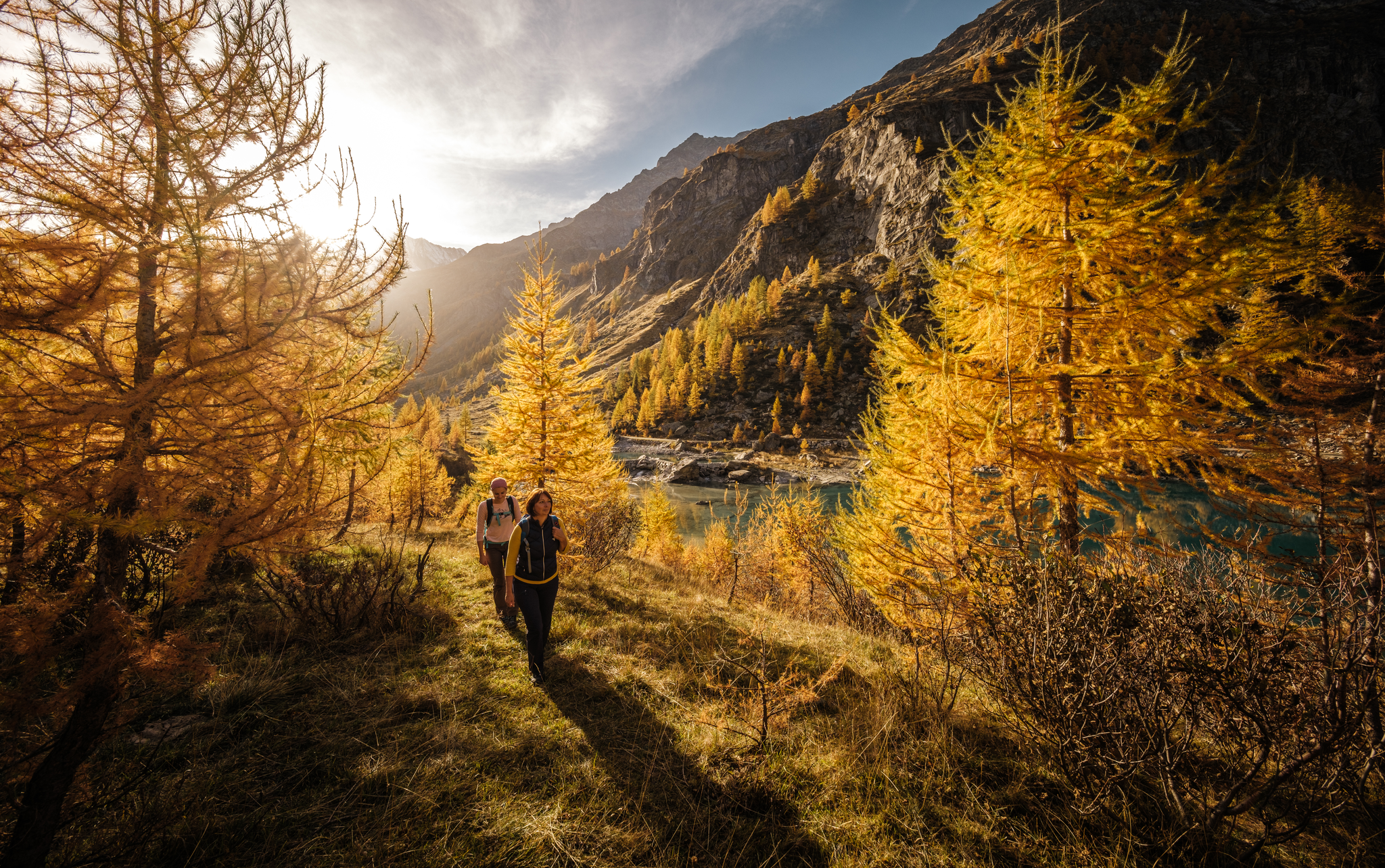
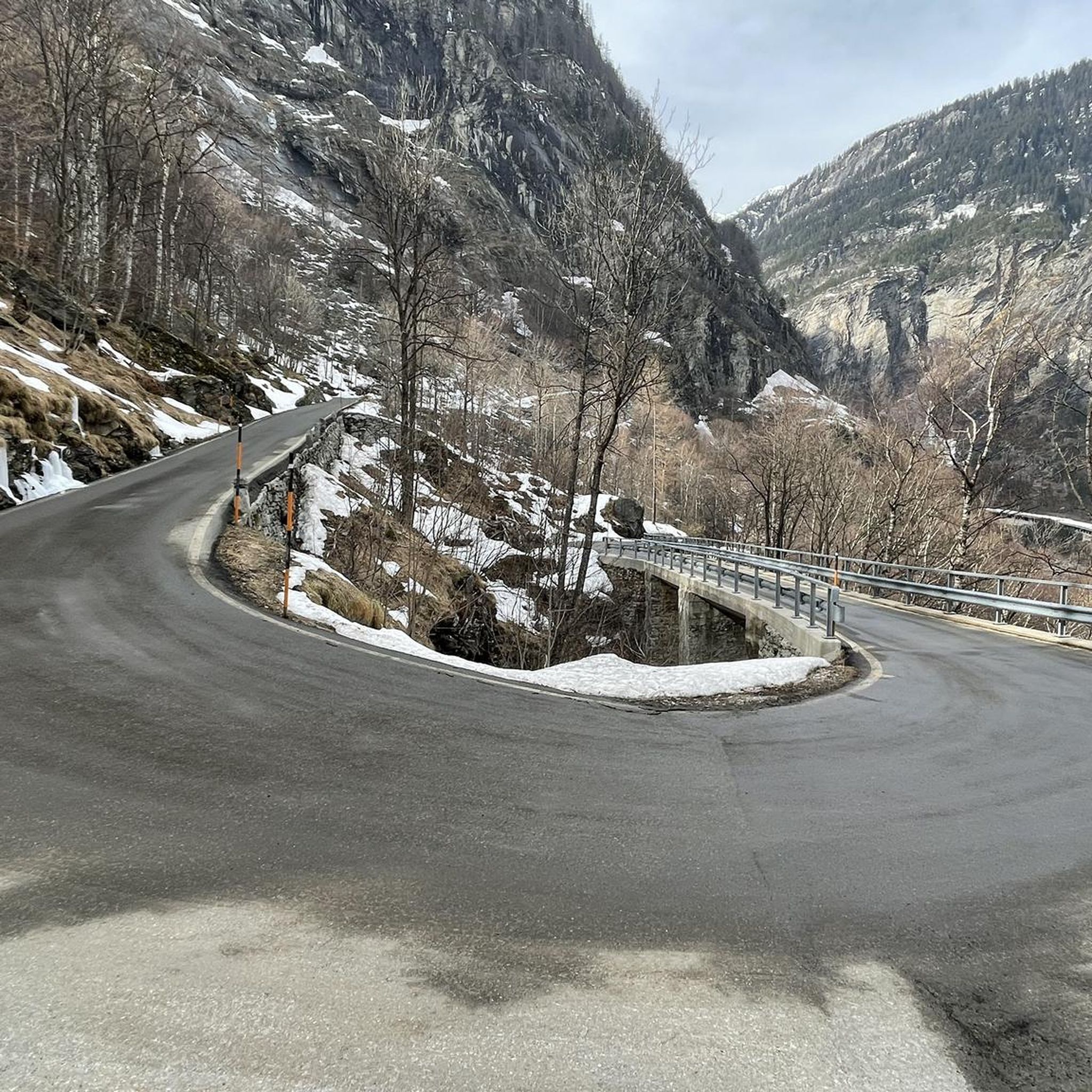
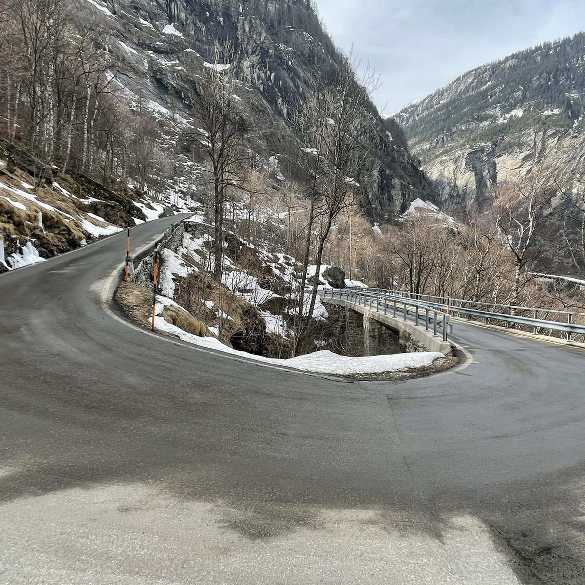
Road cycling around Zwischbergen offers routes through a hidden valley on the Swiss-Italian border, characterized by untouched natural beauty and diverse landscapes. The region features significant elevation changes, with routes ascending from lower valleys into higher alpine terrain. Cyclists can expect to encounter extensive forests, alpine meadows, and mountain lakes. This area provides a serene escape with challenging ascents and visually rewarding scenery.
Best road cycling routes around Zwischbergen
- The most popular road cycling route is From Varzo to San…
Last updated: October 8, 2026
5.0
(1)
12
riders
27.9km
01:53
900m
900m
Hard road ride. Very good fitness required. Mostly well-paved surfaces and easy to ride.
9
riders
23.0km
01:43
920m
920m
Hard road ride. Very good fitness required. Mostly well-paved surfaces and easy to ride.

5.0
(5)
154
riders
29.2km
01:55
880m
870m
Moderate road ride. Good fitness required. Some segments of this route may be unpaved and difficult to ride.
80
riders
81.4km
04:48
1,820m
1,820m
Hard road ride. Very good fitness required. Some segments of this route may be unpaved and difficult to ride.
5.0
(2)
34
riders
47.7km
03:10
1,470m
1,470m
Hard road ride. Very good fitness required. Some segments of this route may be unpaved and difficult to ride.
Get access to more routes and recommendations from other explorers.
Already have an account?
Our route recommendations are based on thousands of hikes, rides, and runs completed by other people on komoot.
Start today with a free account
Your next adventure awaits.

Other adventures around Zwischbergen

Tips from the Community

From this point you can see the beautiful mountains of the Ossola Valley.
0
0

From here you have a great view towards Mattmark and there is a very nice playground.
8
0
From the dam you have a great view of the Saas Valley and the Valais mountains.
7
0

Super beautiful view ☺️ , also of the many waterfalls.
5
0

Surrounded by high alpine tranquility and glacial peaks, the turquoise-blue Mattmarksee lies at your feet. This artificial lake is located at over 2,000 meters in the farthest reaches of the Saas Valley. It stores meltwater and supplies the region with renewable energy.
1
0

From Saas-Fee via Saas-Grund to the dam, the road is easily accessible for any bicycle.
0
0

Sacred Mount Unesco heritage
0
1

from the top of Mount Calvario magnificent view of Domodossola and the valley floor
1
0
Frequently Asked Questions
How many road cycling routes are available around Zwischbergen?
There are 8 road cycling routes around Zwischbergen, catering to various skill levels. These include 2 easy, 3 moderate, and 3 difficult routes, offering diverse experiences through the region's dramatic landscapes.
What is the best time of year for road cycling in Zwischbergen?
The best time for road cycling in Zwischbergen is typically during the warmer months, from late spring to early autumn. This period offers more stable weather conditions and clear mountain passes, allowing you to fully enjoy the alpine scenery and avoid snow at higher elevations.
Are there any family-friendly road cycling options in Zwischbergen?
While many routes in Zwischbergen feature significant elevation changes, there are options suitable for families or those seeking a less strenuous ride. Look for routes categorized as 'easy' or 'moderate' on komoot, which might offer gentler gradients or shorter distances. The region's valleys, like the Zwischbergental, can provide scenic, less demanding sections.
What kind of natural attractions can I expect to see along the road cycling routes?
Zwischbergen's routes are rich in natural beauty. You can expect to see extensive forests, alpine meadows dotted with mountain flowers, and refreshing mountain lakes. The region is encircled by peaks reaching up to 4,000 meters, offering breathtaking backdrops. Notable features include the Gondo Gorge with its steep rock faces and the 'Grosses Wasser' river.
Are there any historical landmarks or points of interest to explore while cycling?
Yes, Zwischbergen offers several historical points of interest. You might encounter the historic village of Gondo, which was once part of an old smuggler's path. The area also features the gold mines at the valley's entrance, known since Roman times, which are now exhibition mines. Additionally, the Simplon Pass and the Eagle Monument and the Simplon Hospice are significant landmarks in the broader region.
What are some of the more challenging road cycling routes in the area?
For experienced cyclists seeking a challenge, routes like From Varzo to San Domenico and From Varzo to Trasquera and Bugliaga offer demanding ascents and significant elevation gains. Another difficult option is the Saas-Balen Church – Stalden loop from Saas-Almagell, which provides a substantial workout through varied terrain.
Are there any loop routes for road cycling in Zwischbergen?
Yes, there are several loop routes available. For example, the Mattmark Reservoir – Saas-Fee loop from Saas-Fee is a popular moderate option, offering scenic views around the reservoir and through alpine meadows. Another loop is the Mattmark Reservoir – Final Ascent in Valais loop from Saas-Almagell, which is a shorter moderate ride.
What do other road cyclists say about the routes in Zwischbergen?
The road cycling routes in Zwischbergen are highly regarded by the komoot community, with an average rating of 5.0 stars from more than 5 reviews. Cyclists often praise the untouched natural beauty, the challenging ascents, and the serene escape offered by the region's hidden valleys and majestic peaks.
Can I access road cycling routes in Zwischbergen using public transport?
While specific public transport connections directly to all trailheads might vary, the region is generally accessible. Gondo, a key village in Zwischbergen, is located south of the Simplon Pass, which is a major transport corridor. It's advisable to check local bus or train schedules to plan your approach to the starting points of your chosen routes.
Are there any notable lakes or reservoirs visible from the cycling routes?
Yes, the region features several impressive bodies of water. The Mattmark Reservoir is a prominent feature, with routes like the Mattmark Reservoir – Saas-Fee loop passing nearby. You might also encounter other mountain lakes, such as those mentioned in the Tschawinersee lake hike, showcasing the area's aquatic beauty.
What is the typical elevation gain on road cycling routes in Zwischbergen?
Road cycling routes in Zwischbergen are characterized by significant elevation changes. Many routes involve ascents of 500 to over 900 meters. For example, routes like From Varzo to San Domenico feature an elevation gain of over 920 meters, providing a challenging workout amidst stunning alpine scenery.
Most popular attractions around Zwischbergen

Get inspired with the komoot mobile app


Explore more
Browse the best Road cycling routes in other regions.
